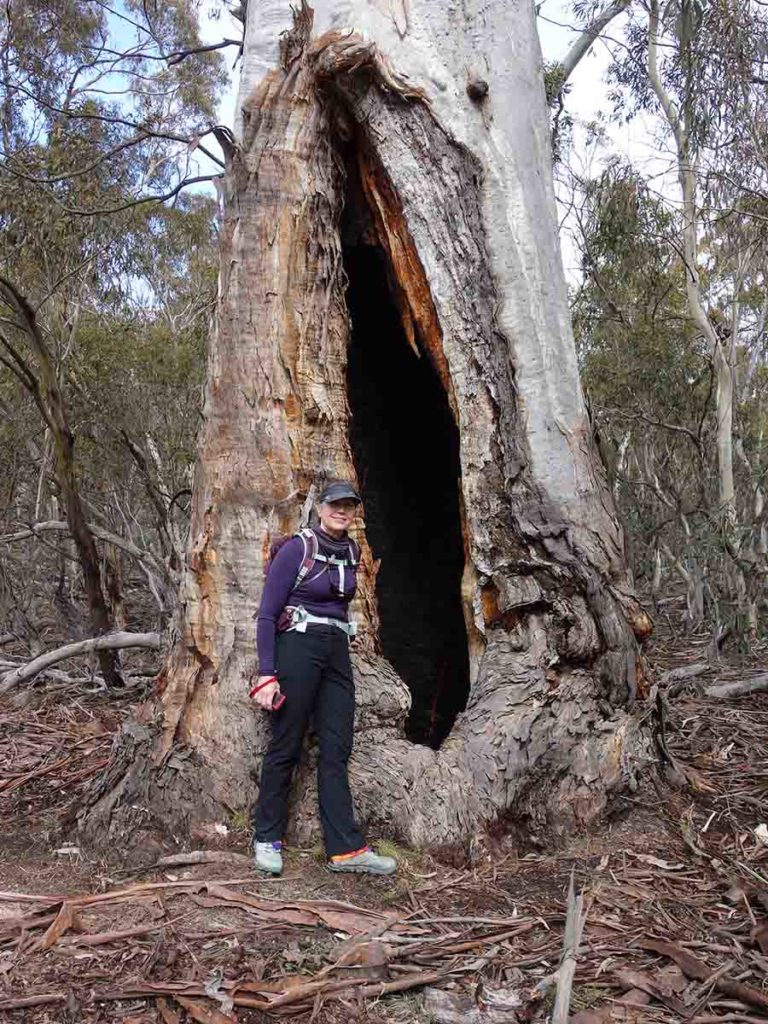
Namadgi National Park Walks
The best of Canberra
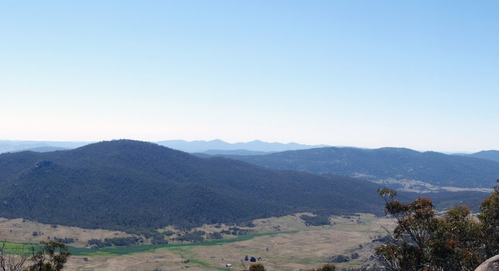
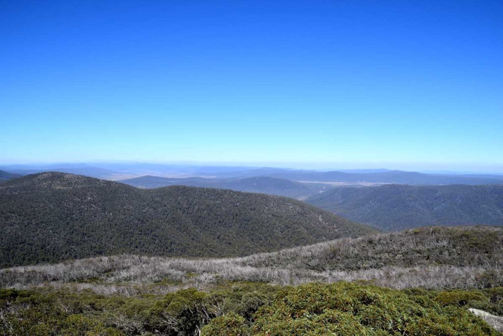
The Australian Capital Territory (ACT) is home to Australia’s capital, Canberra, also known as the ‘bush capital’ due to have preserved bushland including mountains within the city itself. While the ACT contains only one National Park, Namadgi, it covers approximately 46% of the territories land mass and provides a large range of easily accessible walks of varying distances and complexity. I may be biased but there are some truely amazing walks located in Namadgi National Park that are well worth a visit.
The following walks are listed by distance from the shortest to the longest. Click on each link for a full write up of each walk including how to get there.
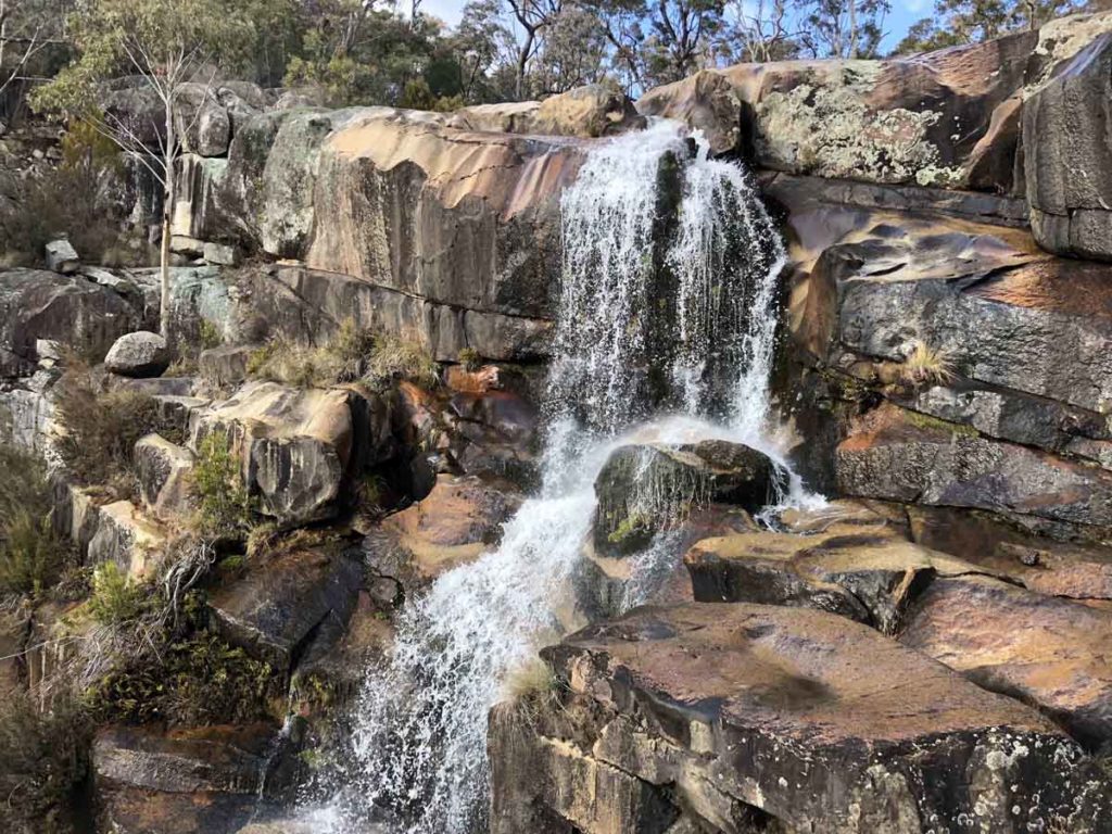
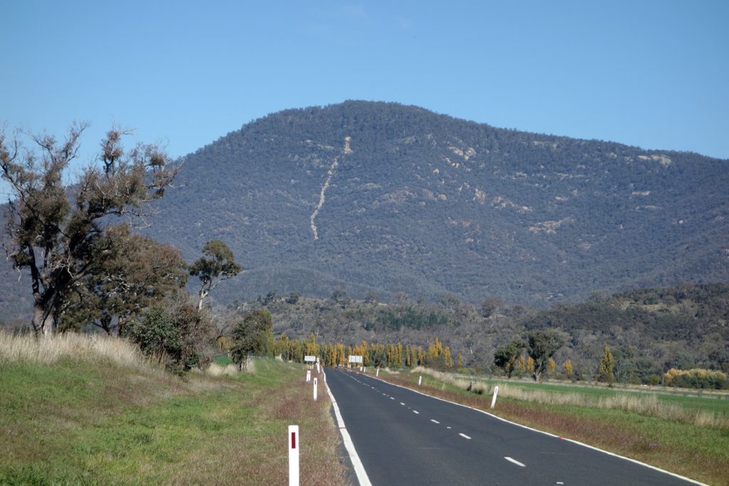
Gibraltar Falls 2.3km
Canberra’s main waterfall walk that you can also do as a short walk from the carpark
Click this link for the full write up of this walk
Please note that this walk is currently closed (9 November 2025)
Rendezvous Creek 2.8km
A short little walk that provides a good overview of the southern end of the Namadgi National Park.
Click this link for the full write up of this walk
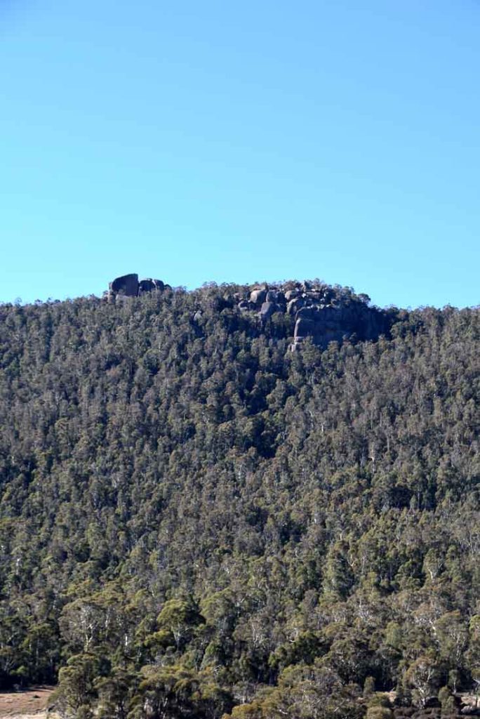
Mount Aggie 3km
The Mount Aggie walk is one of three hill walks in this area and is the shortest and easiest of the three.
Click this link for the full write up of this walk
Orroral Ridge-The Belfry walking Track 3.4km
The walk to the ‘Belfry’ along Orroral Ridge is an easy walk to get some great views of the valley below.
Click this link for the full write up of this walk
Shannahans Mountain 3.4km
The Shanahans Mountain Walk is another of the walks located at the southern end of the Namadgi National Park on the way to Adaminaby.
Click this link for the full write up of this walk
Yerrabi Walking Track 3.5km
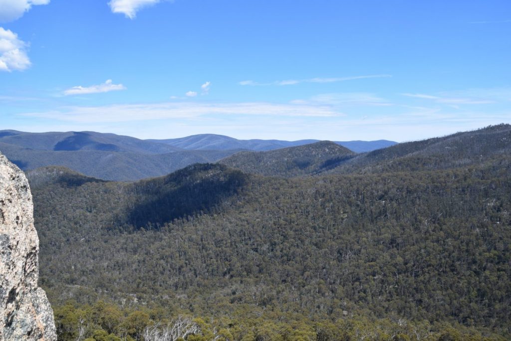
Once you have done all the main walks in Namadgi National Park you may feel like spreading your wings a bit and heading down towards the southern end of the park; and the southern part of the ACT. There is just something about this end of the park that feels ‘wilder’ than the more well known central park.
Click this link for the full write up of this walk
Mount Franklin Heritage Walk 3.7km
The walk to the Summit of Mt Franklin is one of our favourite ACT walks and apart from the longish drive to get there the walk is relatively easy.
Click this link for the full write up of this walk
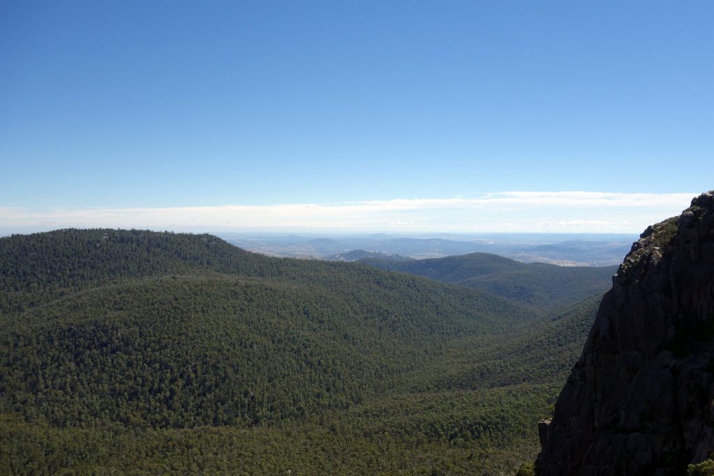
Orroral Ridge-Sentinel Rocks walking Track 3.9km
This walk down to Sentinel Rock is by far the more popular of the two walks on this ridge line and if you happen to do the walk to the Belfry then this will be very obvious. However if you are into rock climbing or bouldering then both walks have there charm.
Click this link for the full write up of this walk
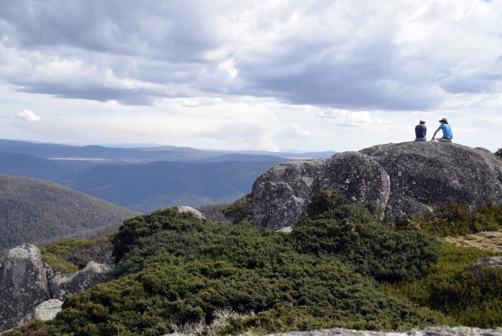
Booroomba Rocks 4km
The walk to Booromba Rocks is one of the ACT’s most popular and one that should be on everyones list.
Click this link for the full write up of this walk
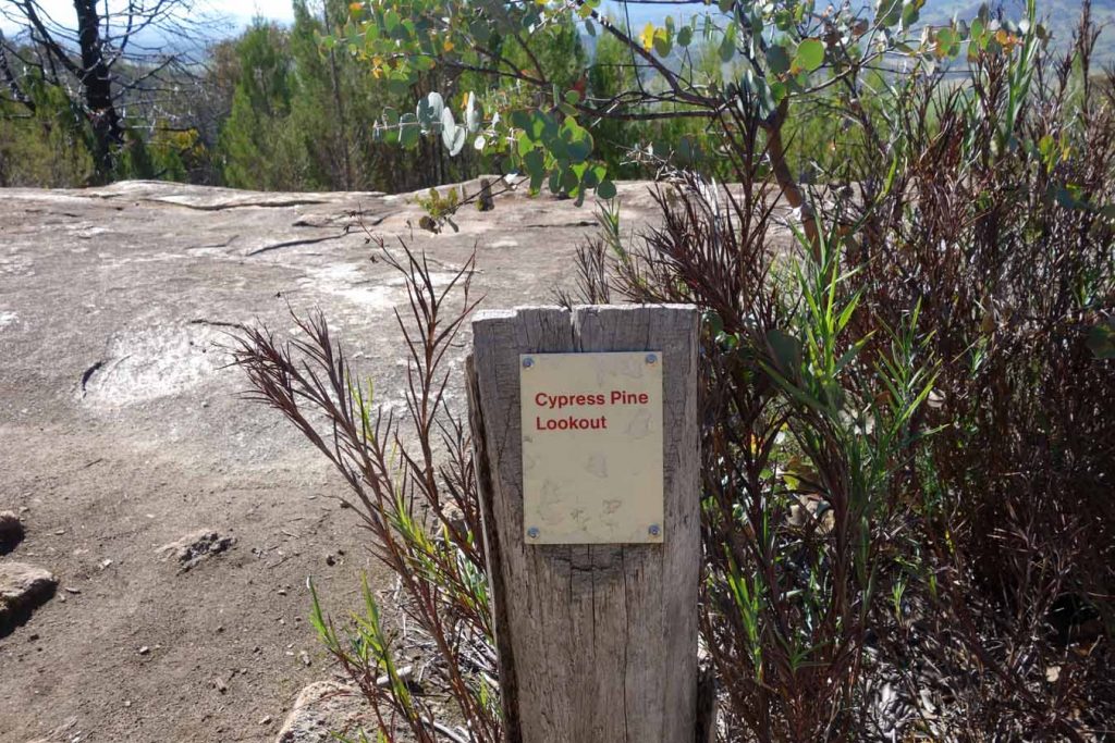
Cypress Pine Lookout Walk 4.6km
If you aren’t up for the full walk to the summit of Mount Tennent then this lookout part way up the mountain is a good alternative.
Click this link for the full write up of this walk
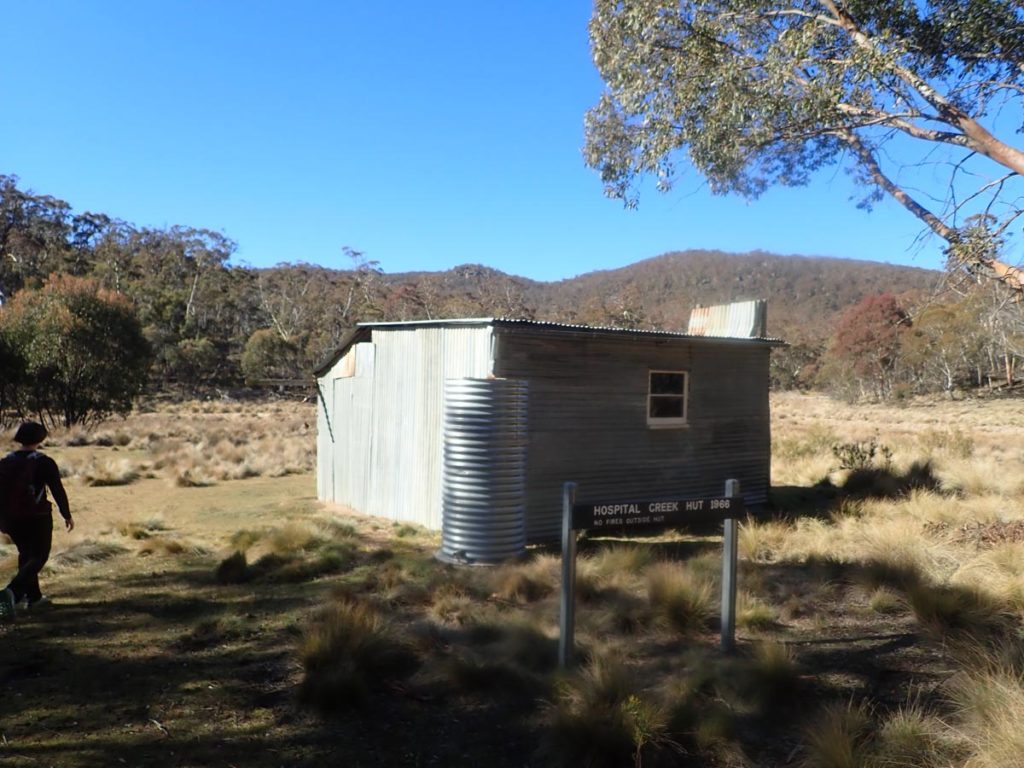
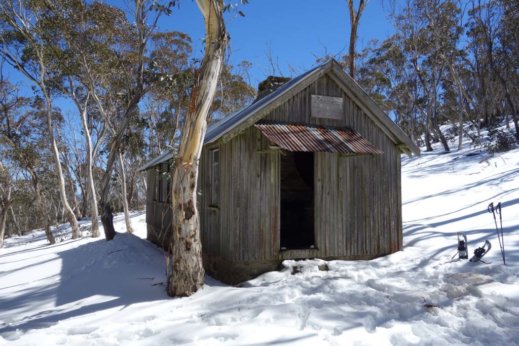
Hospital Creek Hut Walk 4.7km
A good hut walk from the same car park at the Yankee Hat walk. Make a full day of of it by doing both.
Click this link for the full write up of this walk
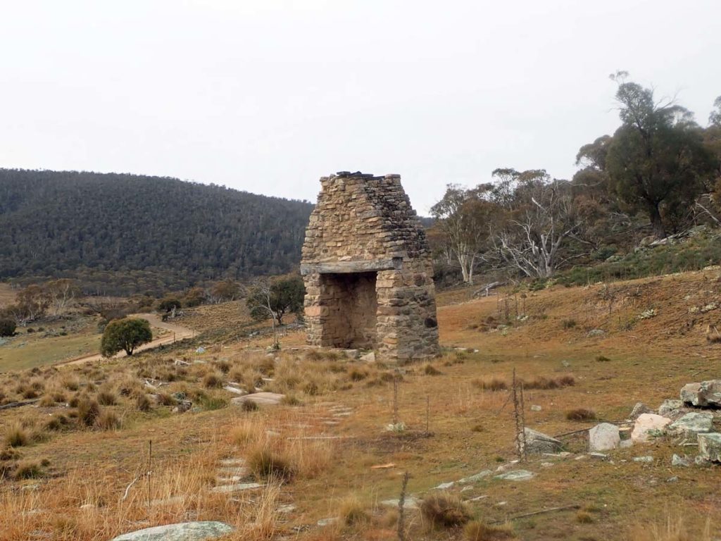
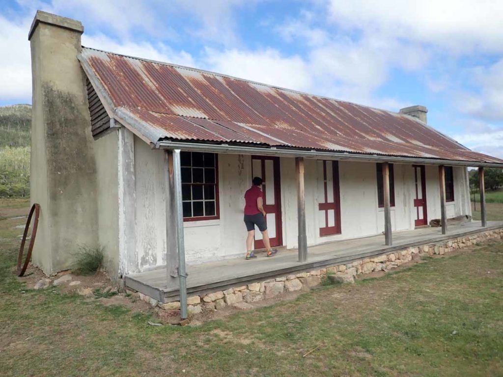
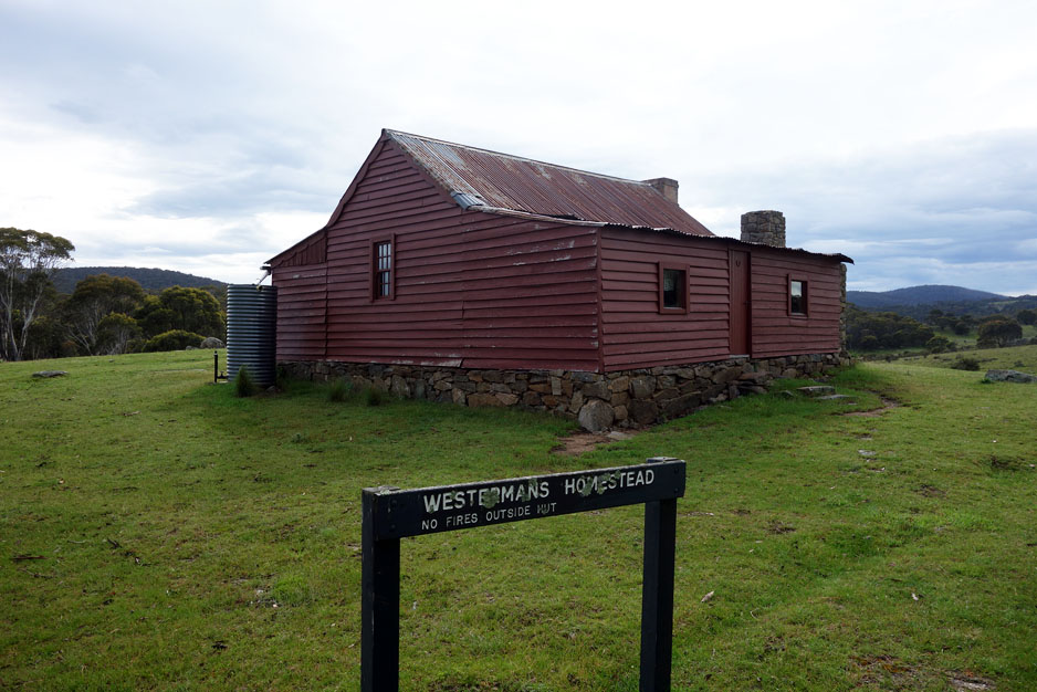
Old Boboyan Road Homestead Walk 5.1km
Theres not much left of this hut but the ruins are worth spending some time exploring.
Click this link for the full write up of this walk
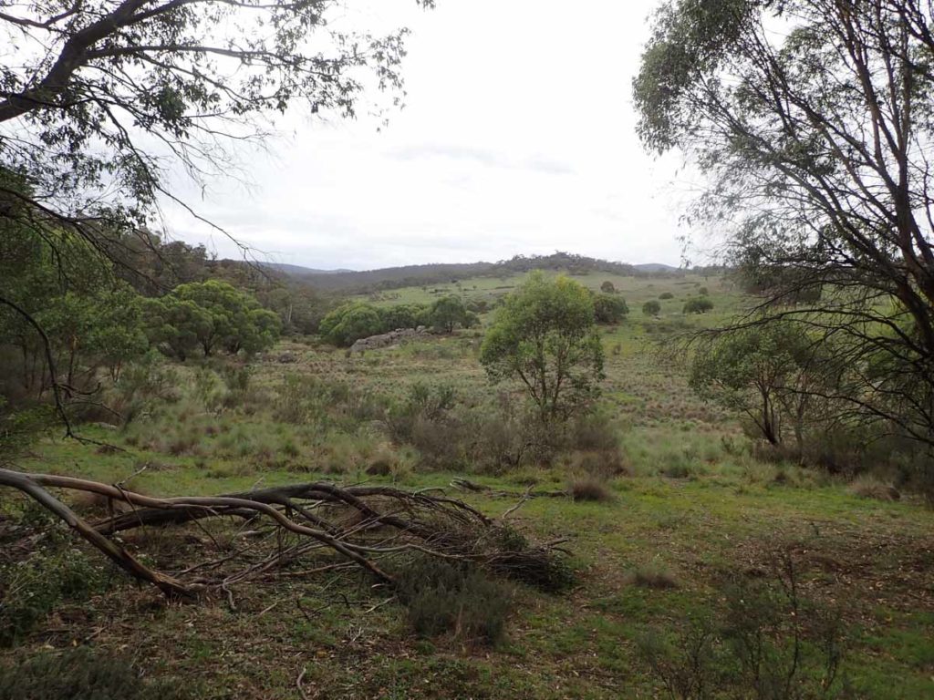
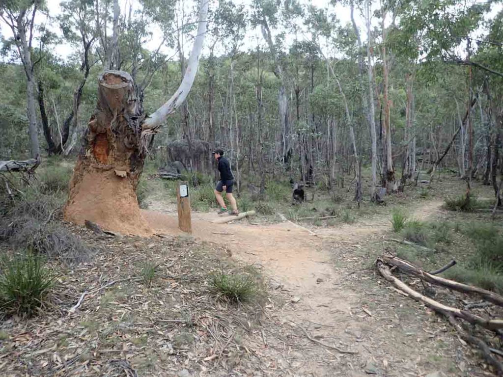
Gudgenby Bush Regeneration 5.6km
The Gudgenby Bush Regeneration walk starts at the same car park as the Yankee Hat Rock Art Trail. For many years (late 1800’s-early 1960’s) this area was a rural lease which is where much of the clearing took place and in 1966 the land was converted to a pine forest. With the declaration of the Namadagi National Park in 1984 the long term goal was the generation of this area back to natural bush. The removal of the pine forest was finalised in 2005 and the land was regenerated.
Click this link for the full write up of this walk
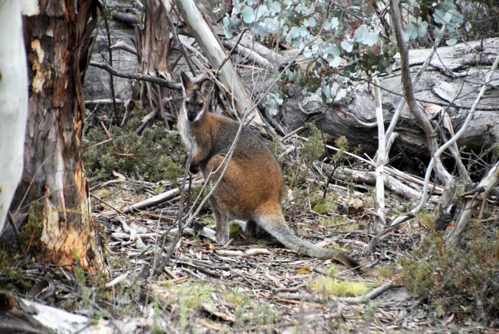
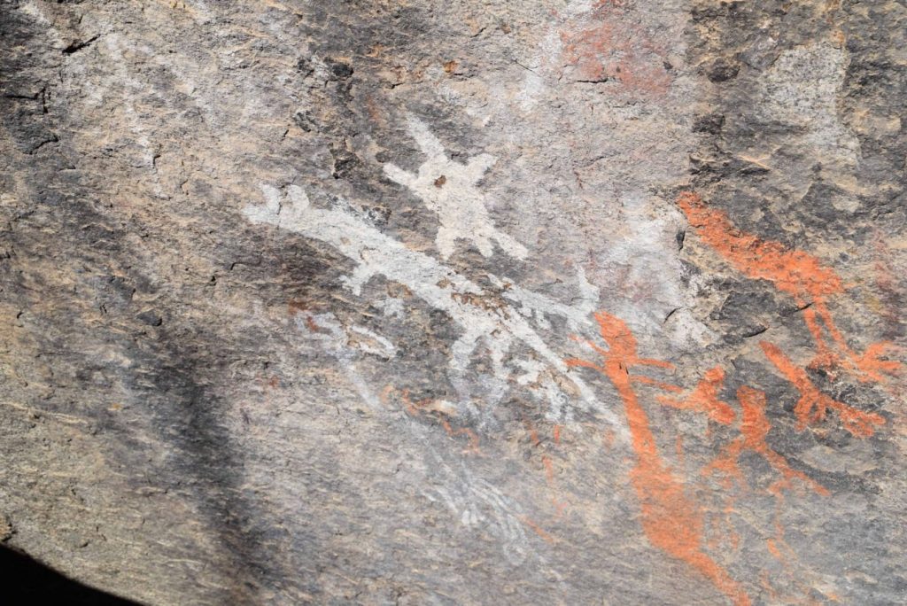
Yankee Hat 6.2km
This walk provide easy access to Aboriginal Rock art in the park as well as providing a short introduction to the Bomber Wilderness
Click this link for the full write up of this walk
Settlers Track (Short) 7km
The Settlers Track ‘short walk’ is another of the walks located at the southern end of the Namadgi National Park on the way to Adaminaby. This track can be done as either a long version (approximately 10 km) or ‘short’ version (approximately 6-7 km) depending on your available time and/or fitness level.
Click this link for the full write up of this walk
Granite Tors Walk 8.6km
This is one of those walks where it’s all about the destination. The top and summit of the hill are littered with large granite boulders (or tors) that are common to this area and this is where the walk’s name comes from.The views from the summit are excellent with the added bonus of being able to view the obsolete astronomy equipment and thus providing an insight as to the importance of this site and others at Orroral Valley and nearby Honeysuckle Creek to the space program.
Click this link for the full write up of this walk
Nursery Swamp walk 9.1km
This walk is as it sounds with the destination being a secluded swamp .
Click this link for the full write up of this walk
Square Walk Walk 9.4km
Another one of those walks that should be on everyones list and based at the Corin end of the park. Great views from the summit without being t0o steep to get there.
Click this link for the full write up of this walk
Orroral Campground to Orroral Homestead Walking Track 9.6km
This walk provide a good taste of the Orroral Valley without doing the full Orroral Valley Circuit.
Click this link for the full write up of this walk
Settlers Track 10.2km
I just love this end of Namadgi National Park and this longer version of this walk takes in three huts.
Click this link for the full write up of this walk
Honeysuckle Creek to Booroomba Rocks 11.6km
Booroomba Rocks is one of Canberra’s must do walks that everyone should do at least once. this version provides a longer option than just starting from the car park which is what most people do.
Click this link for the full write up of this walk
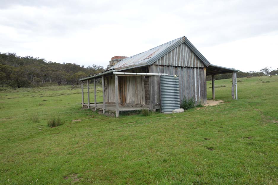
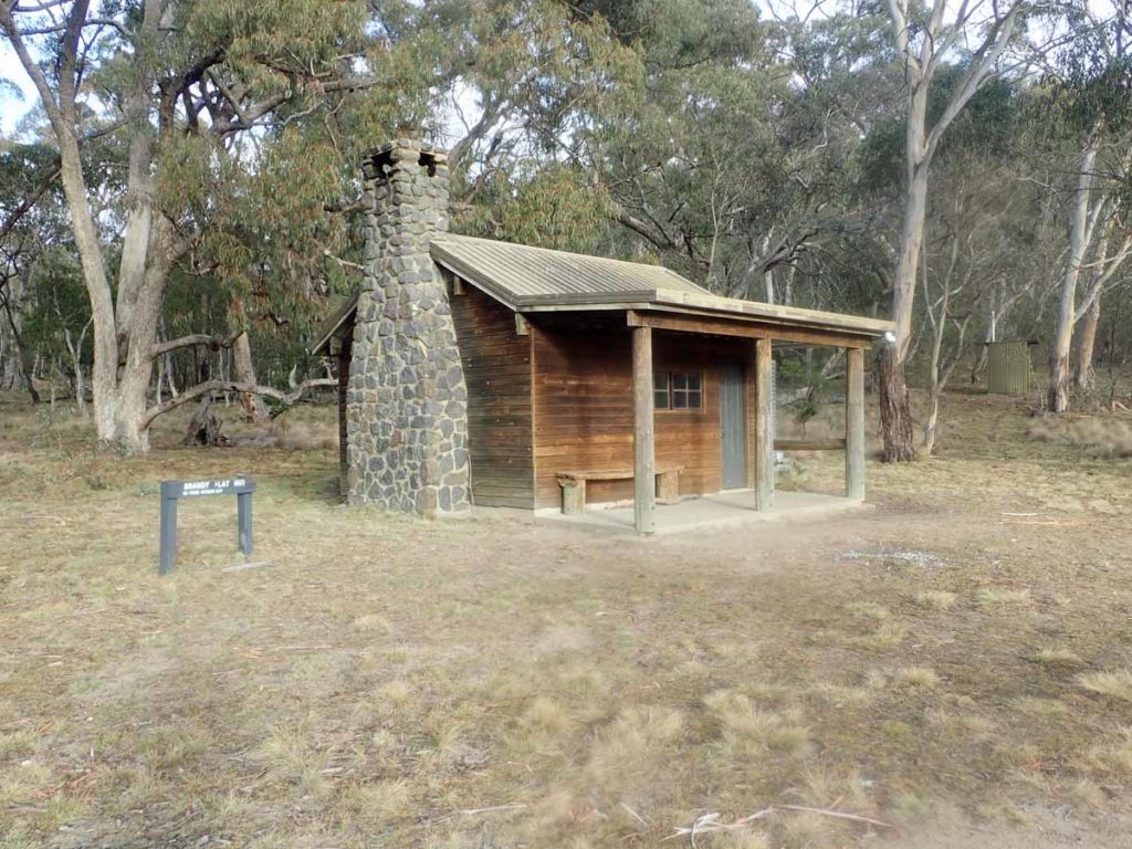
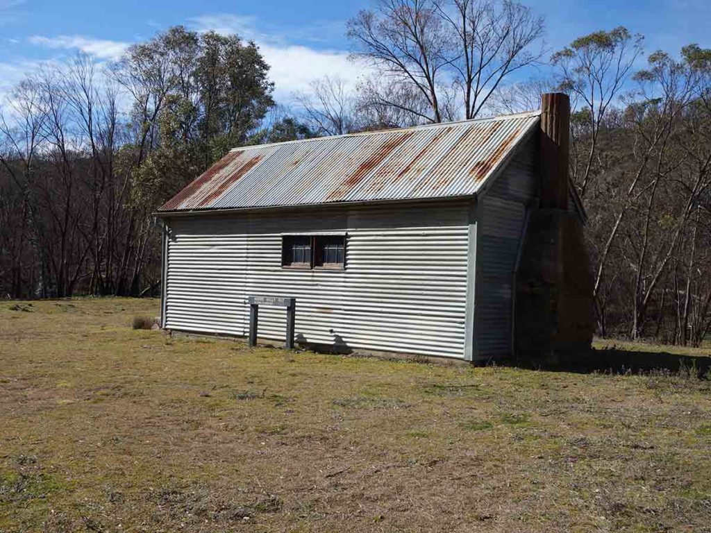
Brandy Flat 12.3km
Without a doubt this is my favourite hut walks in the Canberra region.
Click this link for the full write up of this walk
Stockyard Spur 13km
The Stockyard Spur walking Track can be done year round from Corin Dam but expect snow in late Winter.
Click this link for the full write up of this walk
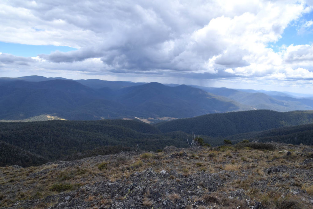
Mt Tennent 14.4km
The walk to the summit of Mt Tennent is one of the hardest walks in the Canberra region and if you want to challenge yourself both on the way up and then on the way back down this is a good one to do it.
Click this link for the full write up of this walk
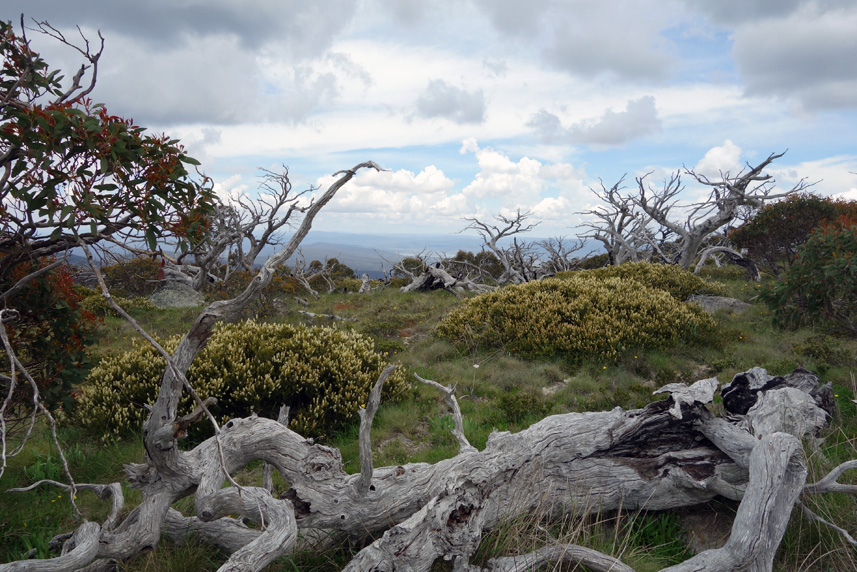
Mount Gingera 14.9km
This is my favourite Canberra walks because it provides excellent views and a feeling of unparalleled remoteness. Either start on the western side of the ACT border for a shorter walk, but longer drive, or start at Corin Dam
Click this link for the full write up of this walk
Old Boboyan Road Walk 15.6km
This one way walk was a bit of a surprise, taking in the Old Boboyan Homestead, old rural land, and bushland finishing of at the Yankee Hat car park
Click this link for the full write up of this walk
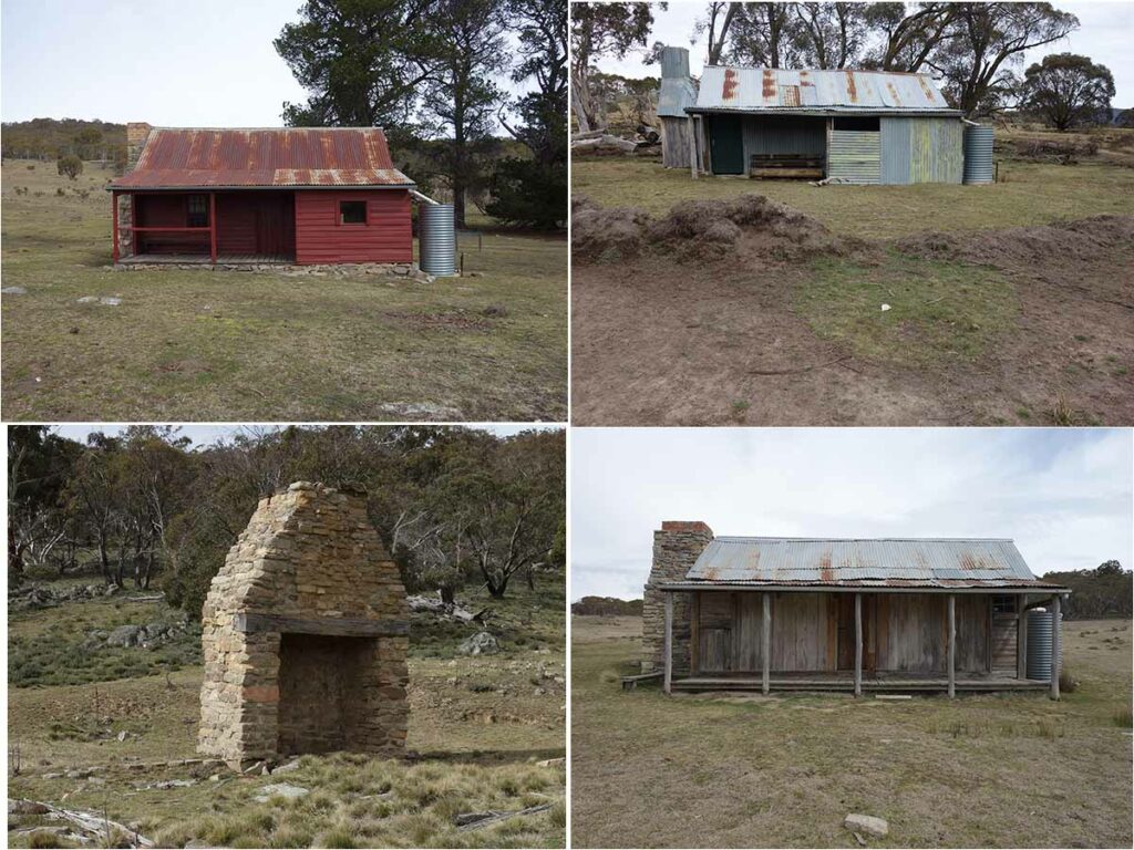
Four Huts Walk 15.8km
This is not a designated walk within the park but rather a combination of two walks that takes in three current huts and one hut ruins. This is a great walk over a variety of terrain.
Click this link for the full write up of this walk
Pryor's Hut Walk 16.3km
This walk is part of the Mt Gingera Walk and provides a shorter turnaround point for those with less time.
Click this link for the full write up of this walk
Orroral Valley circuit 18.7km
This long walk showcases much of the Orroral Valley
Click this link for the full write up of this walk
Demandering and Horse Gully Huts 18.2km
One of the more remote walks located at the southern end of the park with the destination being Horse Gully Hut. Unfortunately Demandering Gut was destroyed in the 2020 summer fires and is now just a pile of rubble.
Click this link for the full write up of this walk
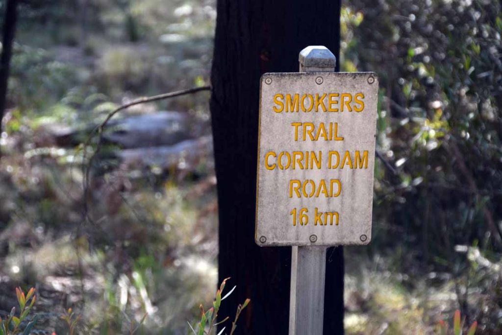
Smokers Trail to Orroral Valley Walking Track 19.3km
Another long walk in the Orroral valley
Click this link for the full write up of this walk
Grassy Creek Trail ACT (20.1km)
A longer walk located in the southern end of the park that’s has something for everyone. Rural landscapes, natural forest, and old huts.
Click this link for the full write up of this walk
Mount Gingera via Corin Dam 21.28km
This is the traditional start to the Mount Gingera summit walk starting from the Corin Dam wall.
Click this link for the full write up of this walk
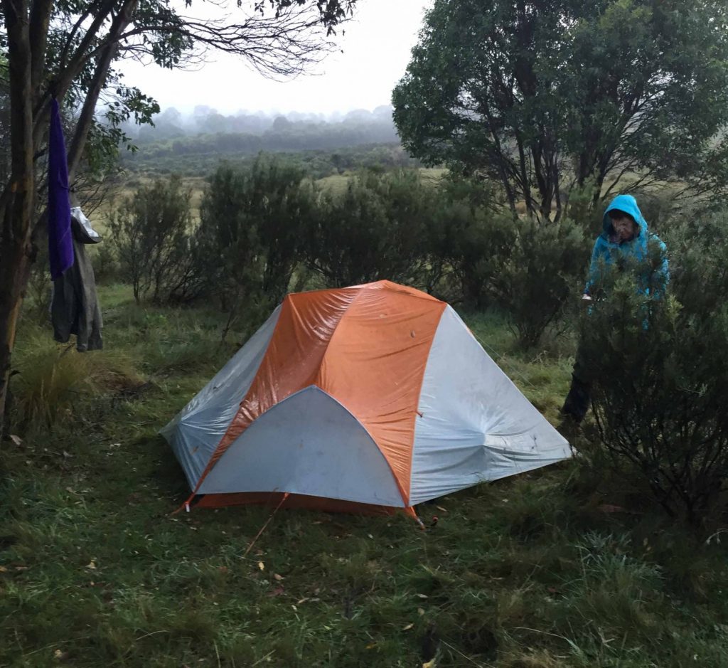
Cotter Flat Walk 32km
I try to do this walk at least once a year and it’s a great weekend overnight trip.
Click this link for the full write up of this walk
Mt Bimberi 53km
Canberra’s longest dedicated hiking trail with only the Centennial Trail being longer. This is a challenging multi-day walk with lots of hills.
Click this link for the full write up of this walk