Yerrabi Track ACT (3.5 km)
Namadgi National Park
Nearest Town
Tharwa 40 km. Please note that Adaminaby is 41 km in the opposite direction
Starting Location
Yearrabi Walking Track car park

Yerrabi car park located on the right hand side of the road if you are coming from Tharwa
Finish Location
Yearrabi Walking Track car park
Yerrabi Track Review
Once you have done all the main walks in Namadgi National Park you may feel like spreading your wings a bit and heading down towards the southern end of the park; and the southern part of the ACT. There is just something about this end of the park that feels ‘wilder’ than the more well known central park. The vegetation starts to become more alpine as you go further south and as you increase in altitude. The day we did this walk was in early July and thankfully we came prepared as we had very light snow falling during mid morning.
On your way to Yerrabi you should stop off at the Hospital Hill lookout which drive straight past – it is well worth the visit. Once you leave this lookout you will reach the trail head a further 4.5 km down the road where there is a small signposted carpark. All up that is just on 40 km from the Tharwa Bridge. The car park is not huge and probably only fits about 5-7 cars at best but this is usually not a problem. Although the walk is well known and used by avid bushwalkers, it is rare to see large numbers of people on this walk unless you have brought them with you.
This trail has its own brochure which can picked up at the trail head at the start of the walk (see the image below). The trail itself has a diverse range of vegetation types ranging from the Peppermint forest at the start of the walk, to swampy grassland in the middle (watch out for snakes during the warmer months), before changing to a Snow Gum forest as you head up the hill. You would think that once you reach the trig station at the summit you have reached your destination but you would be dudding yourself if you don’t continue on following the signs a further 300 metres to the Tor Viewpoint. Although the viewing area is a good 45 metres lower than the summit this is where you get some very spectacular views including to the mountains across the valley which are often snow covered in early winter to mid spring. This is a great place for morning tea or lunch if the weather is good.
Please come prepared for snow conditions on this walk during the colder months ,even if there is none there. This is alpine country and the weather can turn quickly. We had very light snow for much of the walk even although it wasn’t settling on the ground. The clothing we are wearing in the photos is a good indication of the temperature that we were experiencing on the day.
This walk surprises with the great views. Gill is not easily impressed with our walks but this was one where she wanted to come back in Spring to see what the views are like in the warmer months and I agree.

Brochure box at walk start

This far down in the park the tracks feels somehow more wild

Mesh track on one section of the trail to keep you out of the wet after heavy rains

There is also a section of timber track as well

Track through the grassland. Keep an eye for for snakes in the hotter parts of the year

There are directional arrows as well as interpretive sign on the trail. This trail is well defined and well used so finding your way is not hard

The landscape is wilder here than other more well known trails so even in Winter there is lots to see

Gill on the summit. This is not the main vantage point. Follow the sign 300 metres further on to the Tor Viewpoint

A sign on the way to the Tor Viewpoint that delineates changes in the rock types

Step down to the Tor Viewpoint

Granite Tors at the rear of the Tor Viewpoint

Fire on the rock at the Tor Viewpoint. Someone was obviously cold

The views from Tor Viewpoint are spectacular
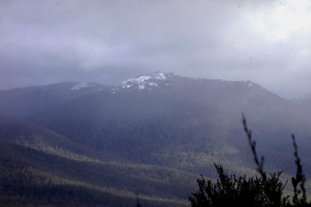
It is not unusual for Mt Gudgenby (1739 metres) across the valley to be covered in snow during winter
Getting There

Yerrabi Track Google map showing the distance from Tharwa Bridge to the Yerrabi Track car park.
- From the Tharwa Bridge head done Boboyan Road towards the Yankee Hat Rock art site
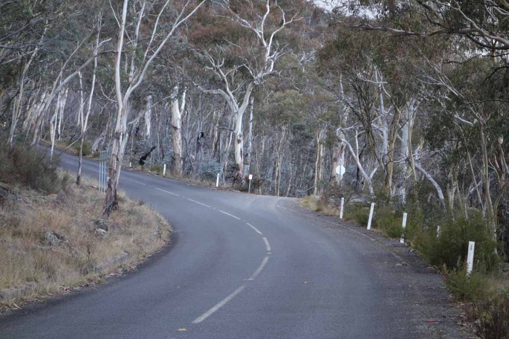
- Instead of turning off to the the right towards the Yankee Hat car park keep on going. The bitumen ends not far from the Yankee Hat turnoff and the road is usually in good condition for an average car
- The road edges can be a bit soft and in cold conditions there can be snow and ice on the road so drive carefully.
- WARNING: sometimes the road may be closed so if doing this walk mid Winter check with the Namadgi Visitor Centre prior to driving to this site
- At the end of the bitumen road travel about 2.6 km until you come to the Hospital Hill lookout on the right hand side of the road. This lookout is signposted and the lookout is adjacent to the road so a stop off is well worth the visit and has some great views
- From the Hospital Hill lookout travel a further 4.5 km and the Yerrabi car park is on the right. This car park is also sign posted
The whole trip from the Tharwa Bridge is just on 40 km
Yankee Hat turnoff. Keep to the left and head towards Adaminaby
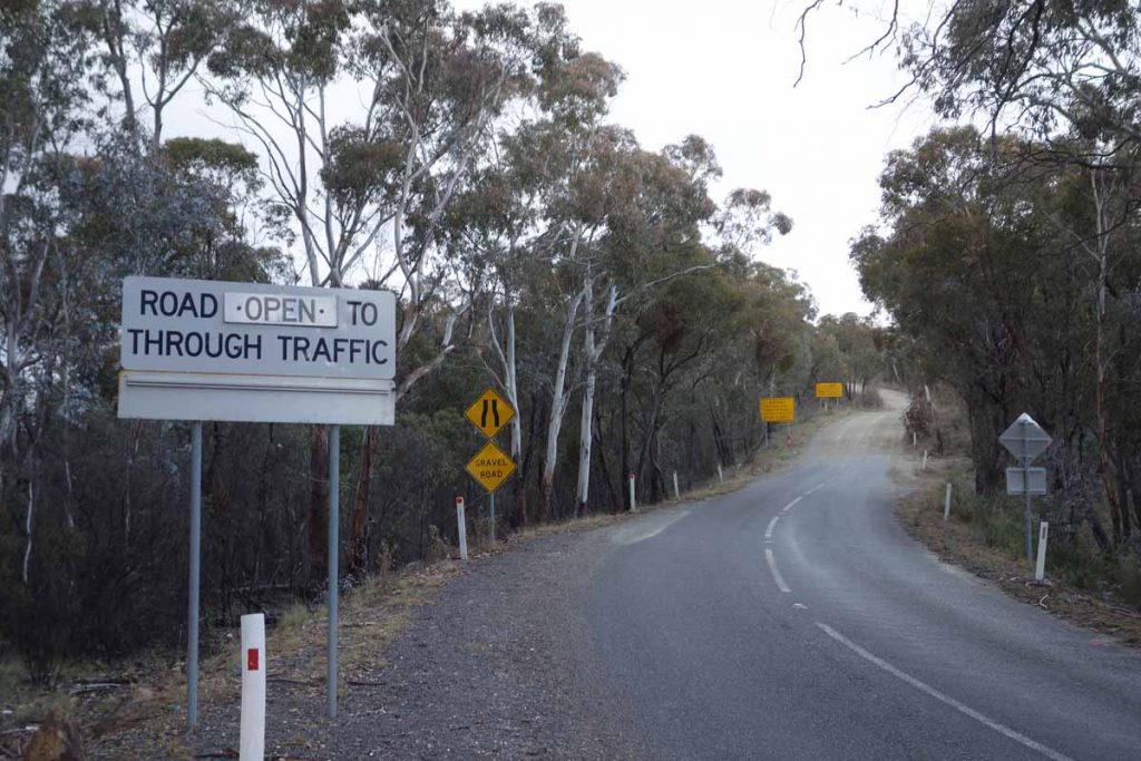
End of the bitumen road. The dirt road from here on is usually in good condition
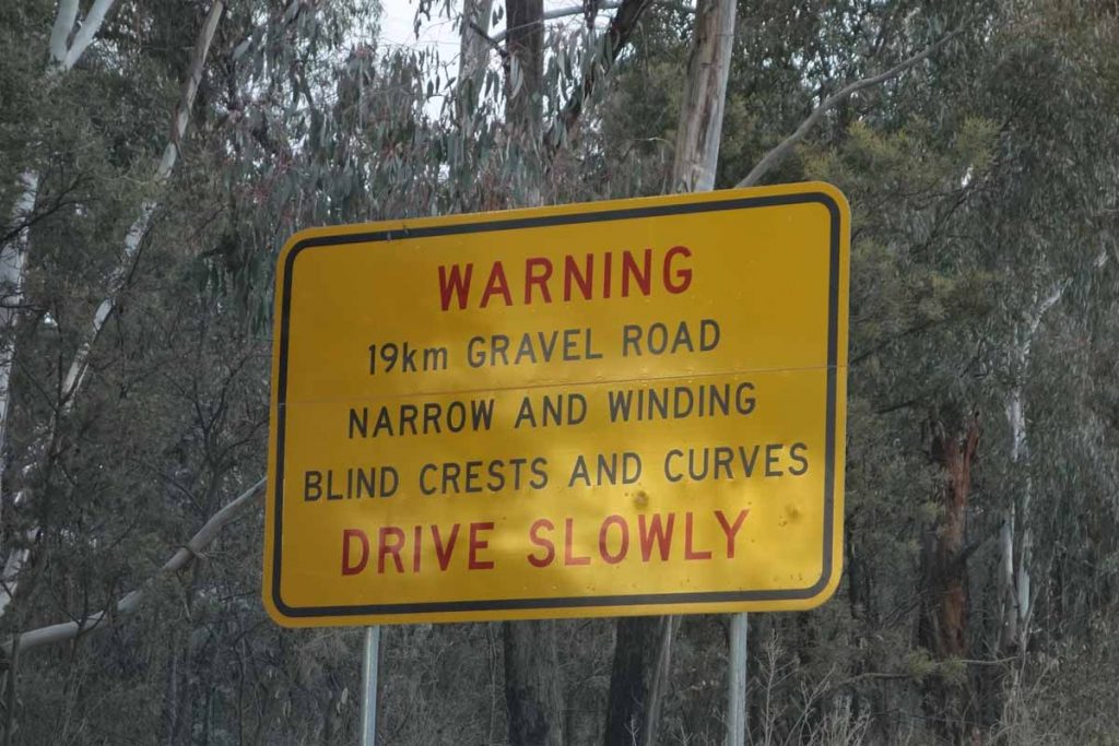
Road warning sign. You’ve been warned!
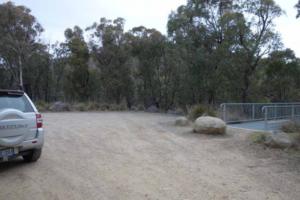
Hospital Hill lookout car park
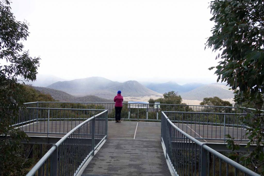
Hospital Hill lookout. Stopping here is worth the trip itself
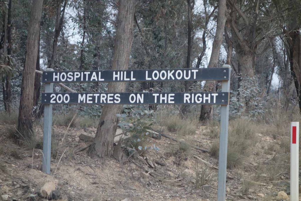
Hospital Hill lookout signage
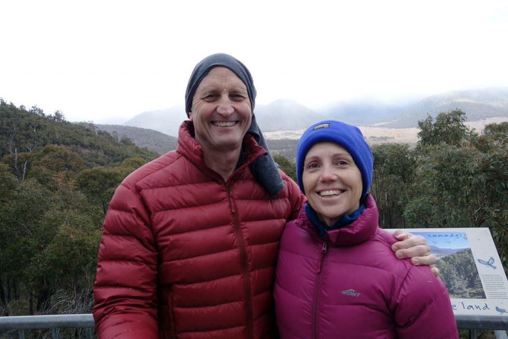
Tim and Gill at Hospital Hill lookout. The views from here are well worth the stop; and yes its cold
Things to Know
- Phone: There is no mobile phone coverage on this trail
- Water: You need to bring water
- Toilets: The closet toilet facility is at the Mount Clear Campground further down the road
- Trail: This trail consists of formed track, which is mainly nature surface
- Dogs: No dogs allowed
- Camping: Camping allowed
- Other:
- This walk is done as an out and back walk
- Keep an eye on the road once you reach the unsealed section as there is a lot of 4WD traffic and blind corners. The further south you go the poorer the road becomes. Don’t take low slung cars on this road
- This road is subject to snow conditions in wintertime and is sometimes closed.
- The 2019-20 bushfires have drastically reduced overhead tree coverage on this trail so avoid the hottest part of the year.Having said that the vegetation is growing back with a vengeance and is getting better and better all the time
Disclaimer
This walk was undertaken by the team from Australian Hiker