Mt Tennent ACT (14.4 km)
Namadgi National Park
Nearest Town
Tharwa ACT
Starting Location
Namadgi National Park Visitor Information Centre
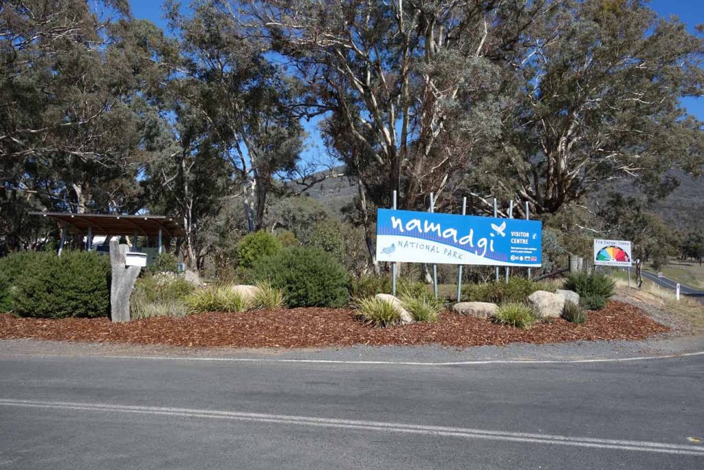
Namadgi National Park Visitor Information Centre entrance
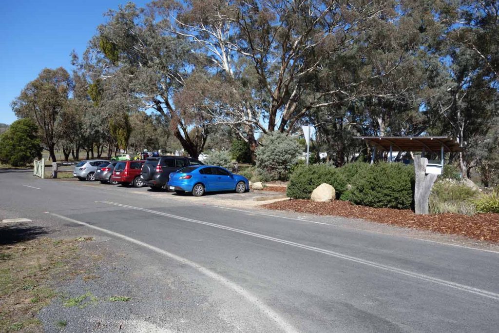
Outside carpark. Use this carpark if you don’t think you will return before the gates close at approximately 4:30 pm. Check at the Visitor Centre for the closing time as you may need to park outside the gate
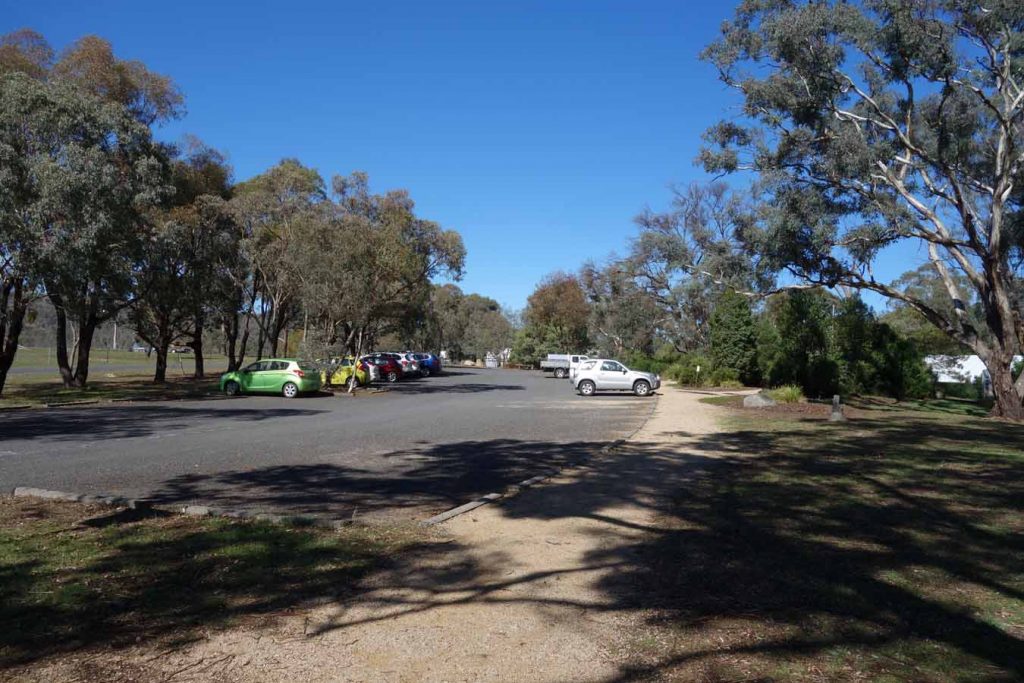
Main Visitor Centre carpark with plenty of room
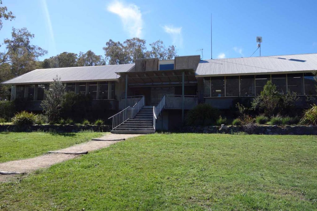
Rear of the Visitor Centre. The staff can provide good information on the park and walks as well as provide maps and snacks. There are also toilet facilities inside the centre
Finish Location
Namadgi National Park Visitor Information Centre
Best Time to Travel
Year round
Mt Tennent Walking Track
This trail forms part of the Australian Alps Walking Track and with most people starting the Alps walk in Victoria then this is the final section for them. This is also one of the best known walks in Canberra because of its location which starts at the Namadgi National Park Visitor Centre. I have done far longer walks, and I have done steeper walks but Mt Tennent is in a class of its own.
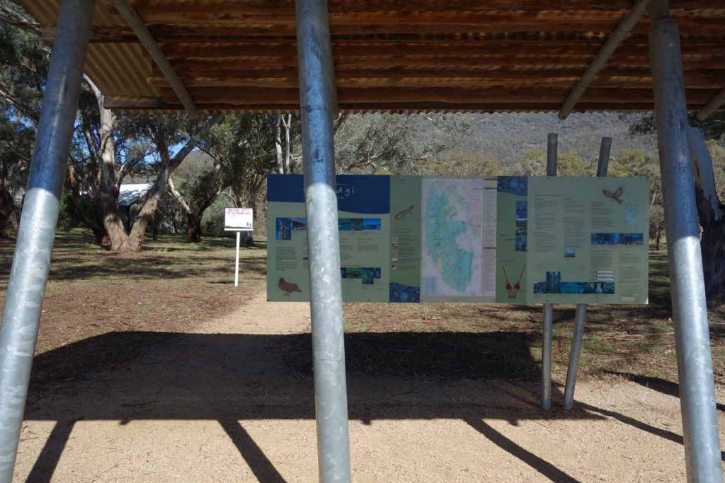
The trailhead is at the front gate of the Visitor Centre which provides a good opportunity to use the facilities and top up on snacks if you haven’t brought any. Follow the signage from the trail head and you will go around the Visitor Centre and then pass the Gudgenby in a box interpretation centre and the Mouat Tree display before coming to the fence line at the road which you need to cross. It’s worthwhile spending a few minutes at each of these interpretation centres to find out a bit about the history of the region before heading on to do the walk. Once you have crossed the road sign in at the trail register then start your walk up the hill.
This walk is almost a continual ascent, at least for the first 5 km, though good bushland that often provides an overhanging canopy and even for fit walkers it can be gruelling. You will pass the Cypress Pine Lookout which is a good place to stop and turn around if you don’t want to do the full walk and then progress onto the mountain shoulder. From here you have a gradual ascent for about 2 km to the fire trail and then a steady incline for 1 km up to the summit. The summit itself contains communication equipment and a fire tower but the real reasons to do this walk are the views towards Canberra to the northeast and into the Bimberi Wilderness to the west.
I have done this walk three times in the last few years and have always considered this to be a brilliant training hike and to improve fitness. On the day I did this write up I came a across a total of 30 hikers and runners with a number of the runners doing two ascents, running up and down then doing the trip all over again at a walking pace, which is very disheartening when you are finding one ascent hard enough. Local mountaineers who are training to do Mt Everest use this walk for ascent training!
The trail consists of a mixture of formed trail, some constructed small bridge sections, rock shelf and fire trail. There is a fair amount of rock on the formed trails and it reminded me of the type of trail you will come across when walking the Larapinta Trail in the Northern Territory. If you are not sure what footwear to wear on Larapinta test it out on this trek and you will know exactly what to bring.
Most of the walks in Namadgi National Park have something to offer in the way of flora and fauna but the Mount Tennent walk is light on in this respect. If you want lots of critters and wildflowers other walks within the park are a better choice. New walkers or those who have poor fitness be warned as this is not a casual stroll. If you fall into these categories allow up to six hours to undertake this walk which will give you plenty of rests. Fit experienced hikers will manage this in around 3.5 hours.
If you want an easy day walk, head up the first hill and stop at the Cypress Pine Lookout part-way up before returning to the carpark below. The views are still very good and its not a difficult walk.
Please Note: that parts of this trail were impacted by the 2019-20 bushfires
Trail head
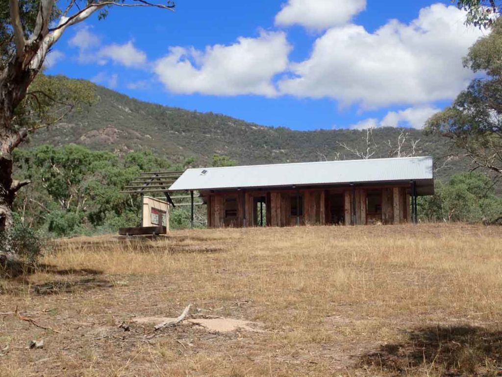
Gudgenby in a box display
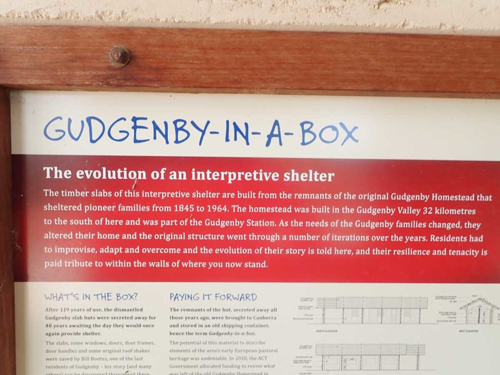
Gudgenby in a Box interpretive signage
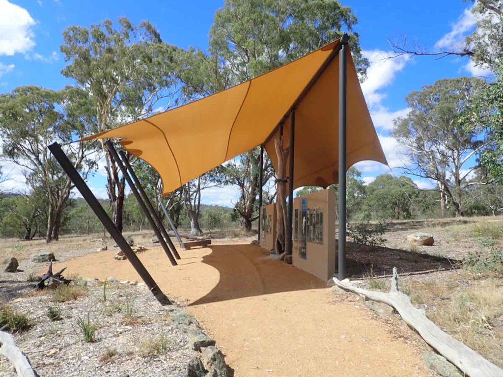
Mouat Tree display
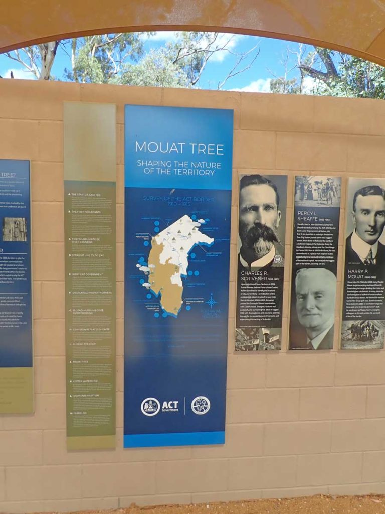
Interpretive signage at the Mouat Tree display
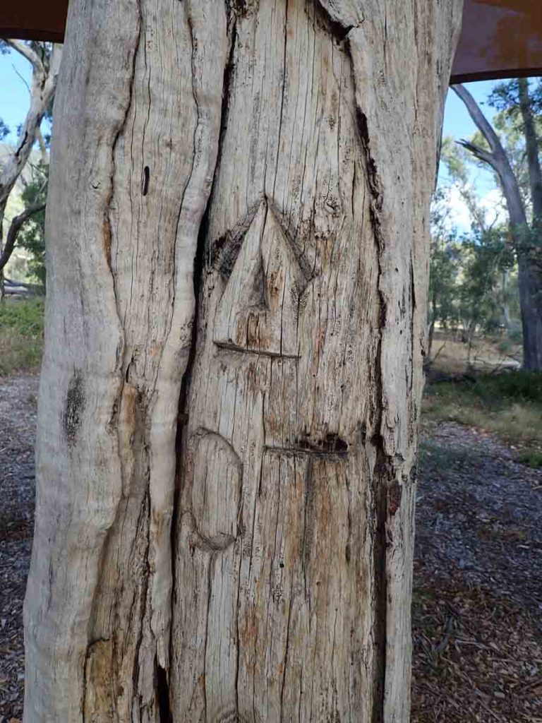
Mouat Tree up close
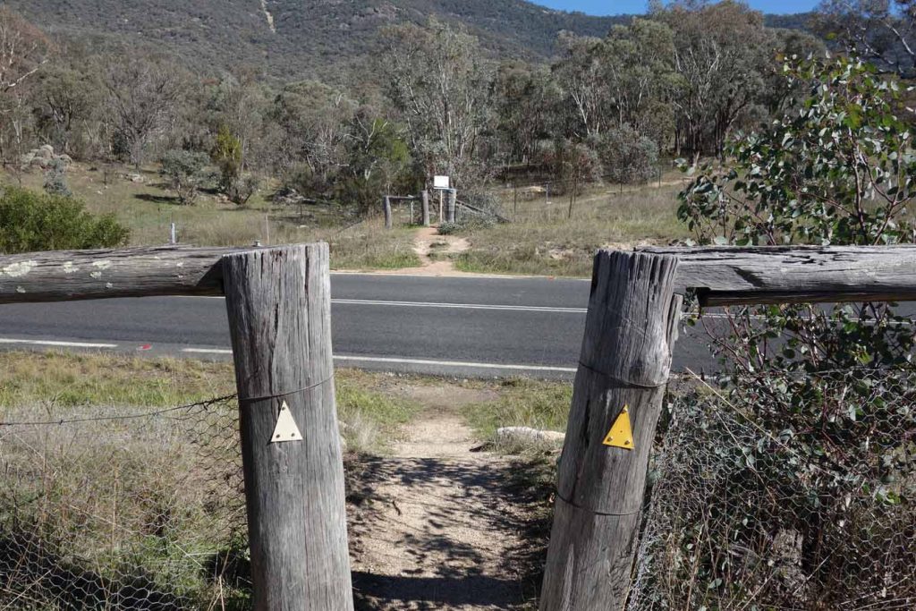
Cross the road, being careful of the traffic. The trail register is on the opposite side of the road just through the fence
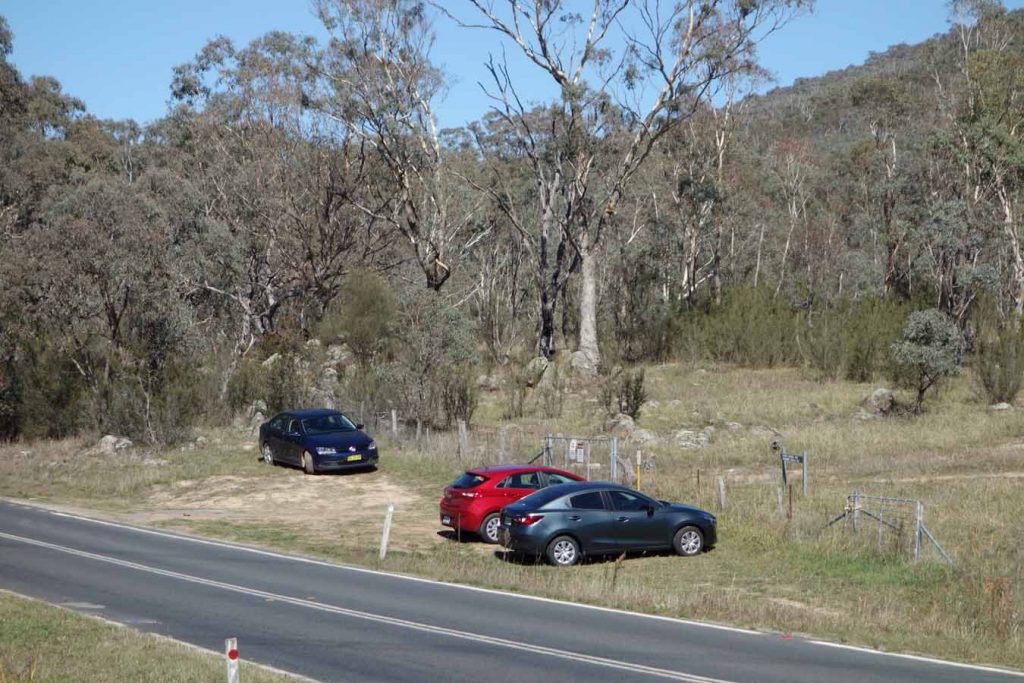
As you approach the trail register you will see cars parked along the fence line. Many walkers park here but there are no parking signs as it can impact on traffic vision
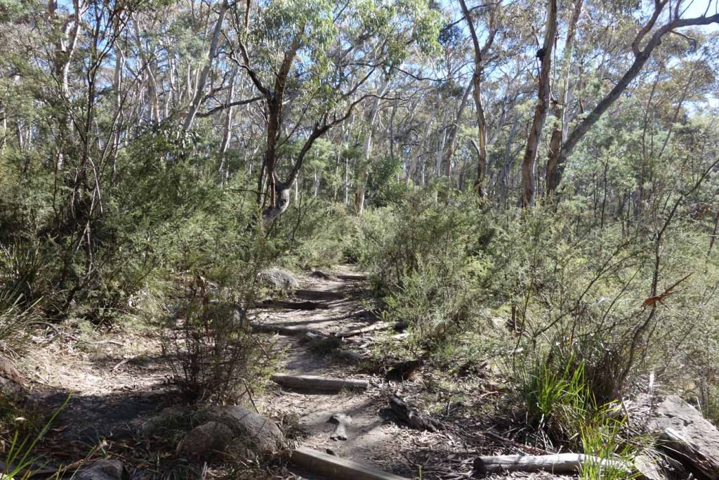
Formed trail example
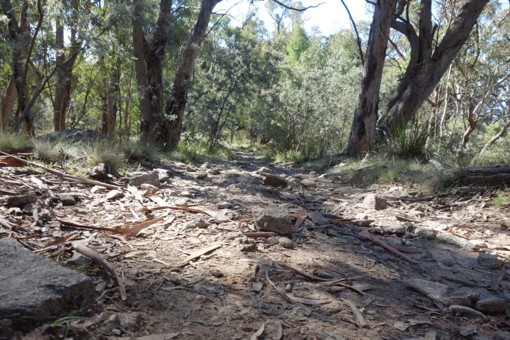
The trail tread so reminds me of the Larapinta Trail. This walk provides a good opportunity to test out gear
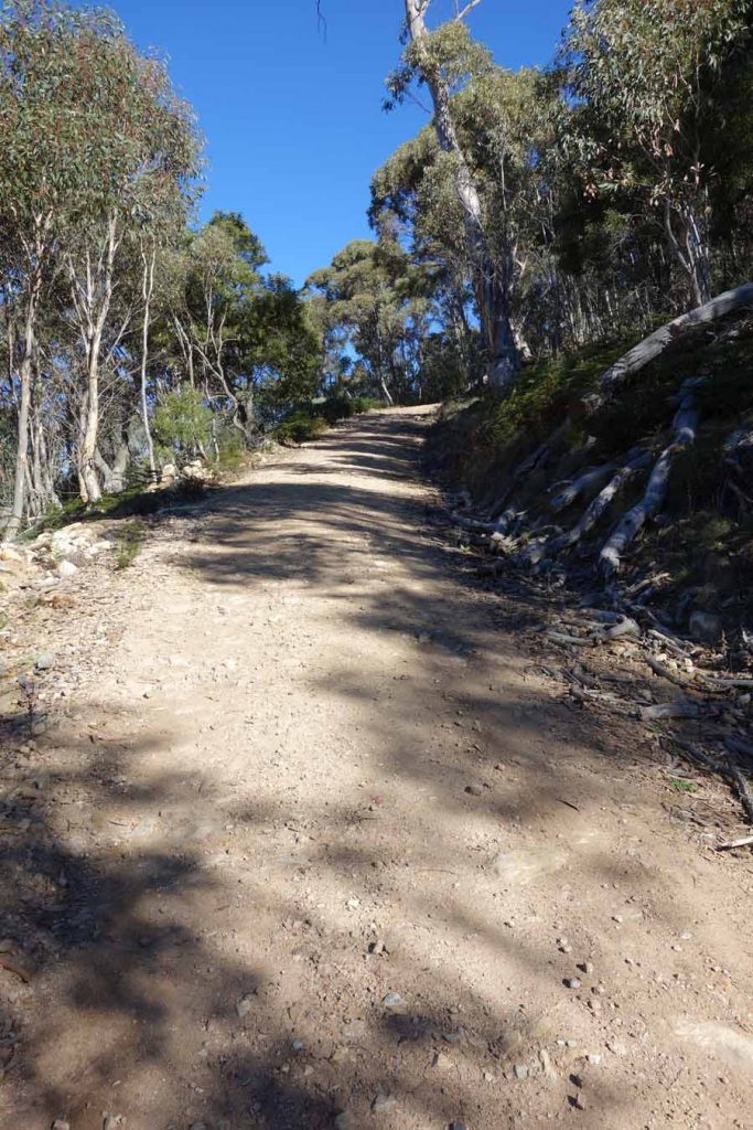
Fire trail near summit. This section is approximately 1 km long
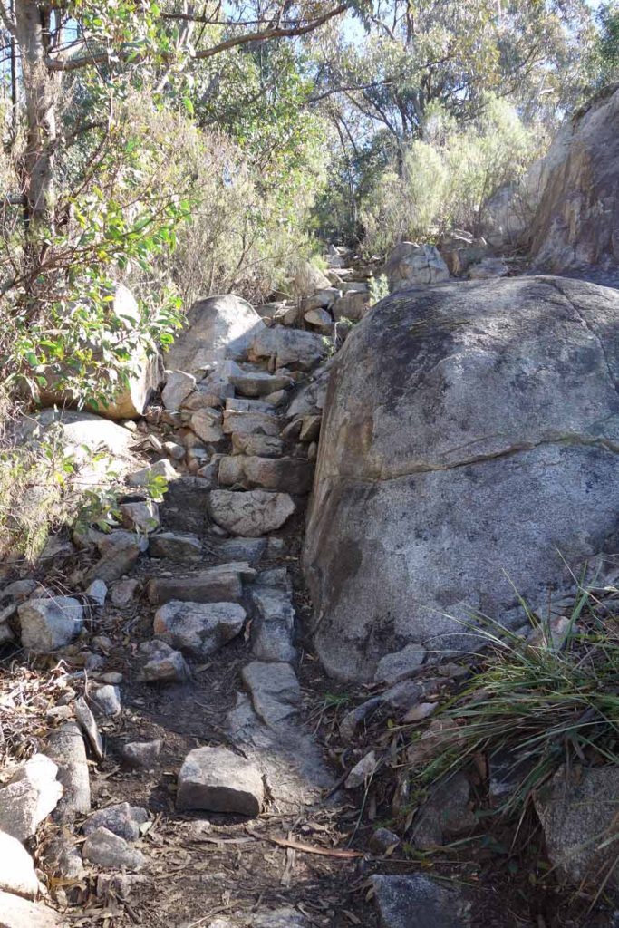
Rock stairs
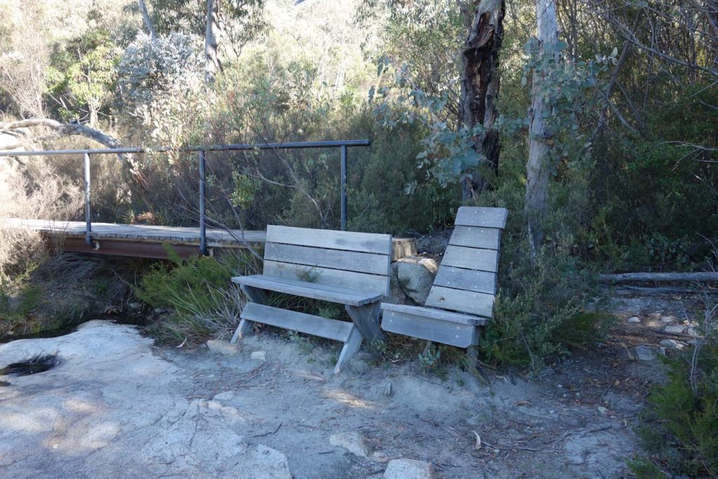
Seating part way up
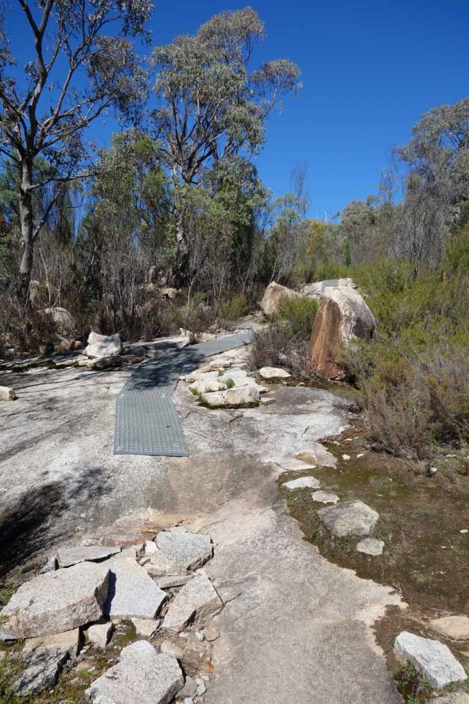
Some areas have metal mesh to help retain footing
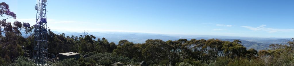
Panorama view towards Canberra
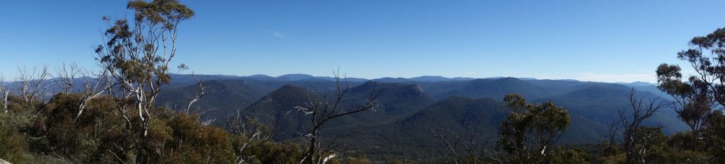
Panorama View towards the Bimberi Wilderness
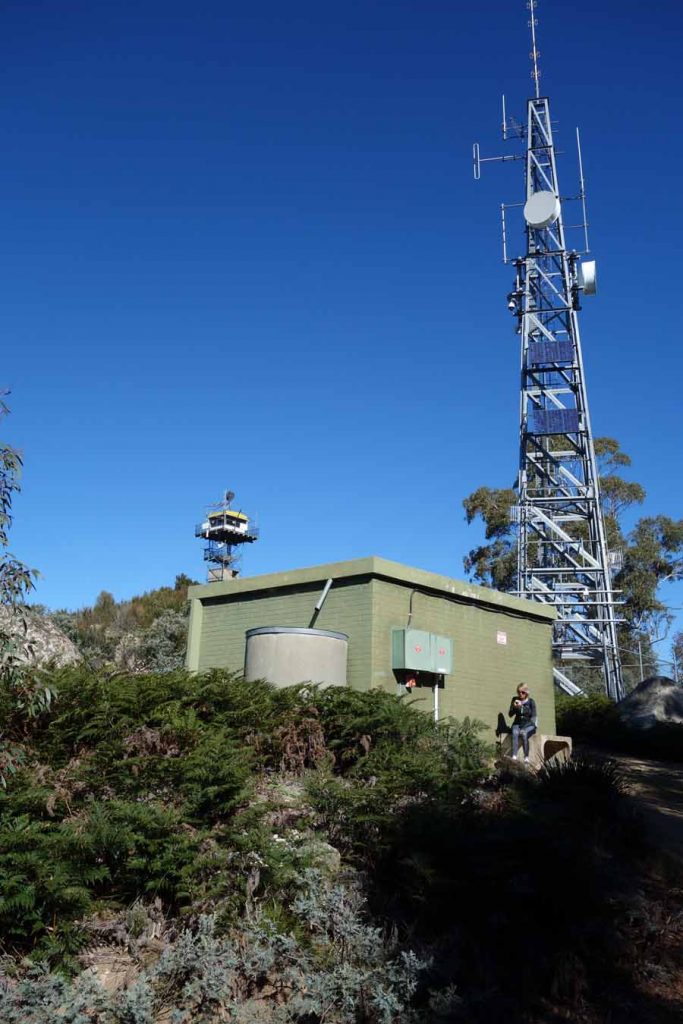
Taking a break behind the communications equipment
Getting There
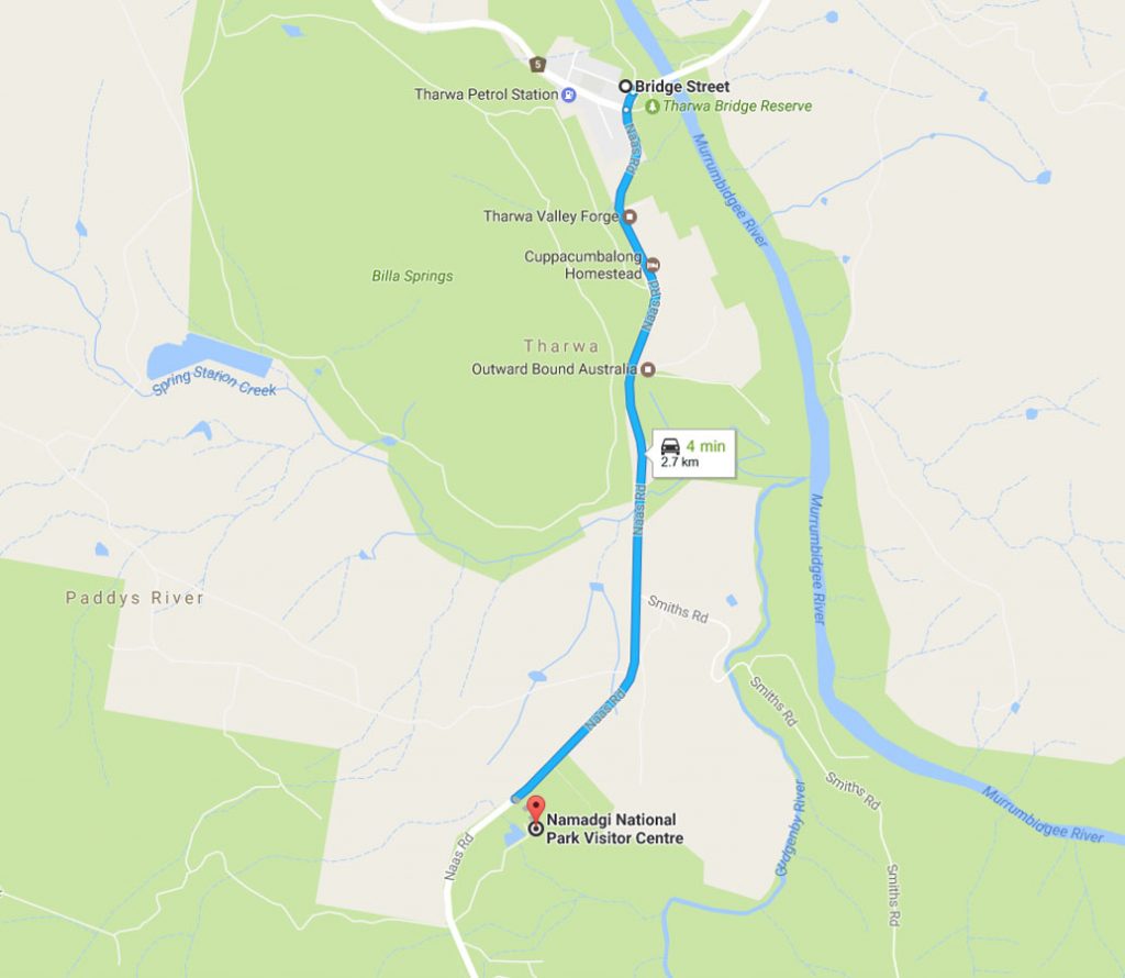
From Tharwa travel 2.7 km along Naas Road to the Namadgi National Park Visitor Centre which is located on the left hand side of the road. The Visitor Centre contains two car parks, a very large one inside the gates but this closes at 4:30 pm most days so make sure you are back before your car is locked in for the night. If there is any doubt you will be back in time, park in the small car park located in front of the Centre’s gates
Things to Know
- Phone: There is good phone signal on this track (Telstra)
- Water: You need to bring your own water
- Toilets: There are toilets at the Namadgi Park visitor centre (accessable during business hours)
- Trail: Most of this trail is on formed track with a small percentage on management road. There are a lot of stone stairs on this track.
- Dogs: No dogs allowed
- Other:
- If you search on the internet for information on this trail you will come across information on Namadgi walks that says this trail is only 8 km long. Don’t be fooled as the round trip is 14.4 km return
- It is not uncommon to have strong winds on the summit so while it may be a warm day when you start come prepared with windproof clothing just in case
- If you are fit and move fast allow 3.5 hours to do this walk. If you are unfit or new to hiking allow up to 6 hours with breaks
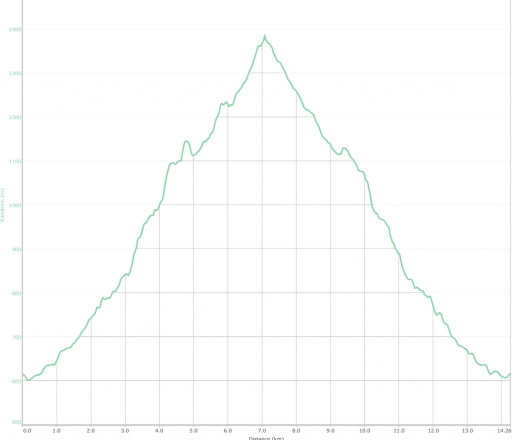
This walk is almost a continual ascent of 783 m to the summit. If you want to train for a long hike then this is the one to use. In addition the rock strewn trail is very reminiscent of the Larapinta Trail
Disclaimer
This walk was undertaken by the team from Australian Hiker