Four Huts Walk ACT (15.8 km)
Namadgi National Park
Note
This is a connection of two walks, rather than a designated walk, within Namadgi National Park that provides access to four alpine huts (i.e. three huts and one hut ruin)
Nearest Town
Tharwa is approximately 50 km from this trailhead and Adaminaby, NSW is about 40 km in the opposite direction
Starting Location
Old Boboyan Homestead car park
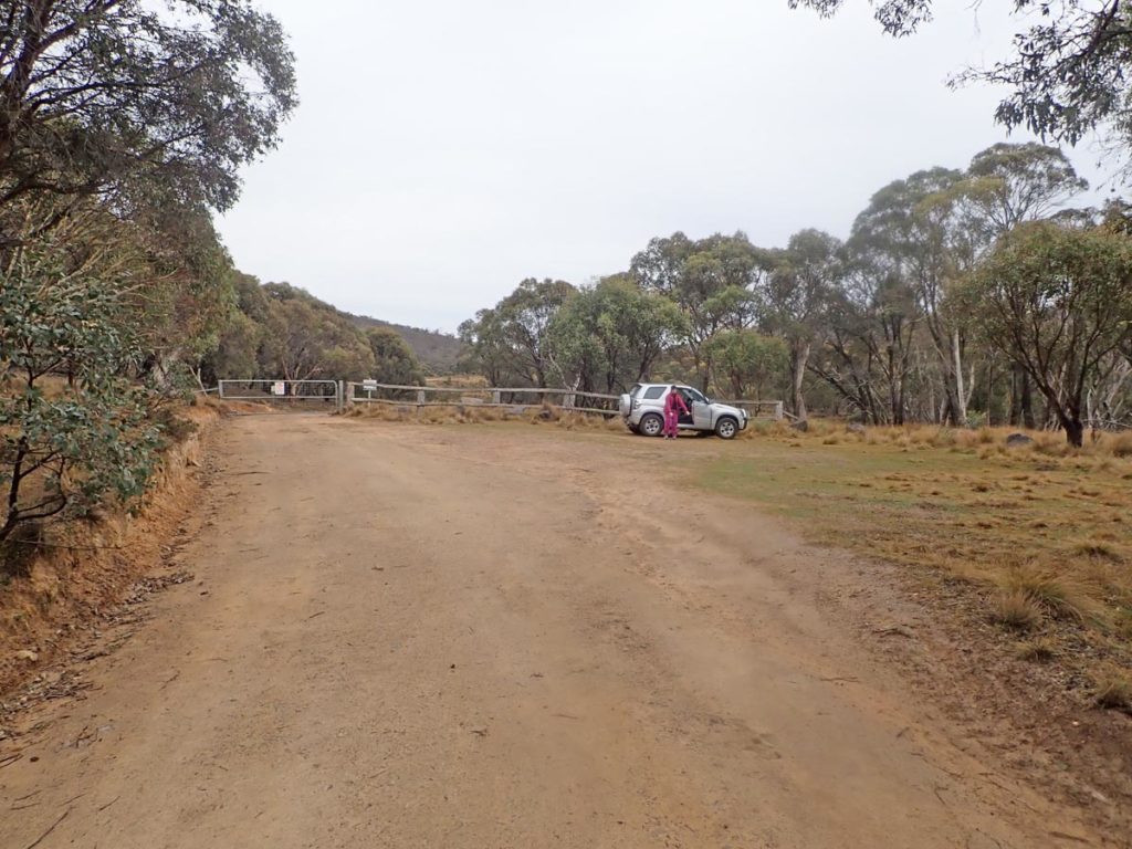
Trailhead car park on the Old Boboyan Road
Finish Location
Brayshaw’s Homestead car park on Old Boboyan

Four Huts Walk Review
This walk in southern Namadgi National Park is unique for Australian Hiker given that it isn’t listed as a designated walk but instead is a combination of two walks we discovered by accident while doing the Grassy Creek Walk. By connecting the Old Boboyan Homestead Walk with the Settlers Track Walk you end up with what we have named the Four Huts Walk. This walk provides access to four huts:
- The ruins of the Old Boboyan Homestead
- Waterhole Hut
- Westerman’s Hut
- Brayshaw’s Hut
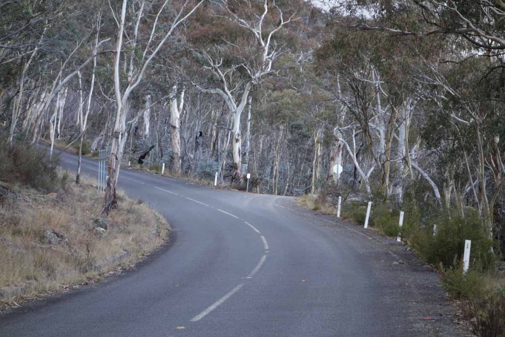
This walk is a bit of a drive from central Canberra being around 70 km from the GPO and around 50 km from Tharwa or for that matter about the same distance if you are coming from Adaminaby, NSW in the other direction. Head down the centre of the park on Boboyan Road and keep an eye out for the Mount Clear Campground on the left hand side of the road. The turnoff to the trailhead is at Old Boboyan Road which is on the right side and around 500 metres past Mount Clear. Once you turn off onto Old Boboyan Road, you have about a 700 metre drive to the trailhead car park which is located at a locked gate. This walk is almost all on management road with the exception of the last section of the walk between Westerman’s Hut and Brayshaw’s Hut which is on grassy trail.
This walk is best done as a one way walk starting at the Old Boboyan Homestead Walk car park and finishing at the Brayshaw’s Hut car park. Doing it this way you need someone with a second car to do a car shuffle. Alternatively you can walk from the Brayshaw’s car park back to your starting destination which will add about 2-2.5 km of road walking. Unless you know this area of the park well, we would suggest you stop into the Namadgi visitor centre and pick up a park map which will make your journey much easier.
Starting at the northern trailhead, you’ll find a trail register about 300 metres – be sure to note when you sign that you are doing this walk in a one way direction.
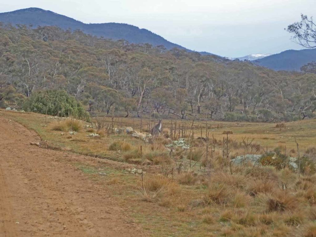
The walk to the homestead ruin site is around 2.4 km. Usually in this area of Namadgi National Park you will see wallabies due to the dense trees but in this case with the open grass areas, there are lots of kangaroos as well. The walk is flat-ish to sightly uphill all the way to the old homestead ruin but not enough to be strenuous. The first indication you have reached the old homestead is the very obvious and visible old chimney. If by some chance you aren’t paying attention, you know you have arrived when the road turns to the right by almost 90º. You can easily spend around 45 minutes wandering around this site and its worthwhile walking up the hill to the rear of the homestead until you reach the fence line as there are all sorts of little hidden gems such as the old rubbish dump (better than it sounds), the old orchard, and apparently an old grave site although we haven’t been able to locate it despite a few visits.
From the Old Boboyan homestead you continue on the road and your next decision point becomes the creek you would cross if you were heading towards the Yankee Hat car park so make sure you stay on this side of the creek. It’s at this stage you have the main decision of the walk. Pay really close attention here and follow the signs to ‘Bulls Creek’. If you feel like you are almost doubling back on yourself you are on the right road. This is where the map comes in handy. The trail continues on as management road until you come to your second decision point and at this stage you are looking for the ‘Waterhhole FT’ sign. From here the trail is very easy to follow.
The first half of the walk is through a rural landscape but the second is mainly bushland interspersed with some rural land and the huts.
Your second hut destination is Waterhole Hut which is the most rustic of the huts on this walk containing a a dirt floor. We had visited this hut before and the thing we noticed this time was there had been a fire break graded around the hut as protection form the Black Summer fires. Thankfully the fires didn’t reach this section of the park but that was probably by sheer luck more than anything else.
One thing to note at Waterhole Hut is your are taking the track to Westerman’s Hut and while it is marked it’s not clear. We came across another couple who were backtracking having started to head back the way they came before they realised their error. The walk to Westerman’s Hut is mainly through bushland with the occasional open grassland area. You head through one last section of forest before the road starts to head downhill and opens up to Westerman’s Hut. This hut has a toilet facility not far from the hut if you need. The hut istelf is a good example of old rural life containing an old cemetery plot and a sheep dip. The hut is the most ‘luxurious’ on the walk and its really obvious that this was a homestead rather than a hut.
From here you walk on a grassy track to Brayshaw’s Hut (where there are also with toilet facilities). Brayshaw’s Hut is your end point and on the day we did this walk the car park was choc-a-block and there were people everywhere.
The vegetation varies on this walk and includes old rural farmland and forest much of the southern end of Namadgi National Park has a feeling of remoteness. Wildlife is pretty consistent and includes wallabies, kangaroos and good birdlife.
One thing to note is that while there are no serious water crossings you can expect to get wet feet in a couple of areas if there has been heavy rain so it’s probably worth bringing a small towel and some extra socks just to keep your feet dry.
This walk is on the longer side for most people but it’s well worth doing if you have the opportunity. Because of it’s location and altitude if you are doing this walk during winter, pay close attention to the weather forecast and come prepared for quick drops in temperature and snow on both the road as well as the trail.
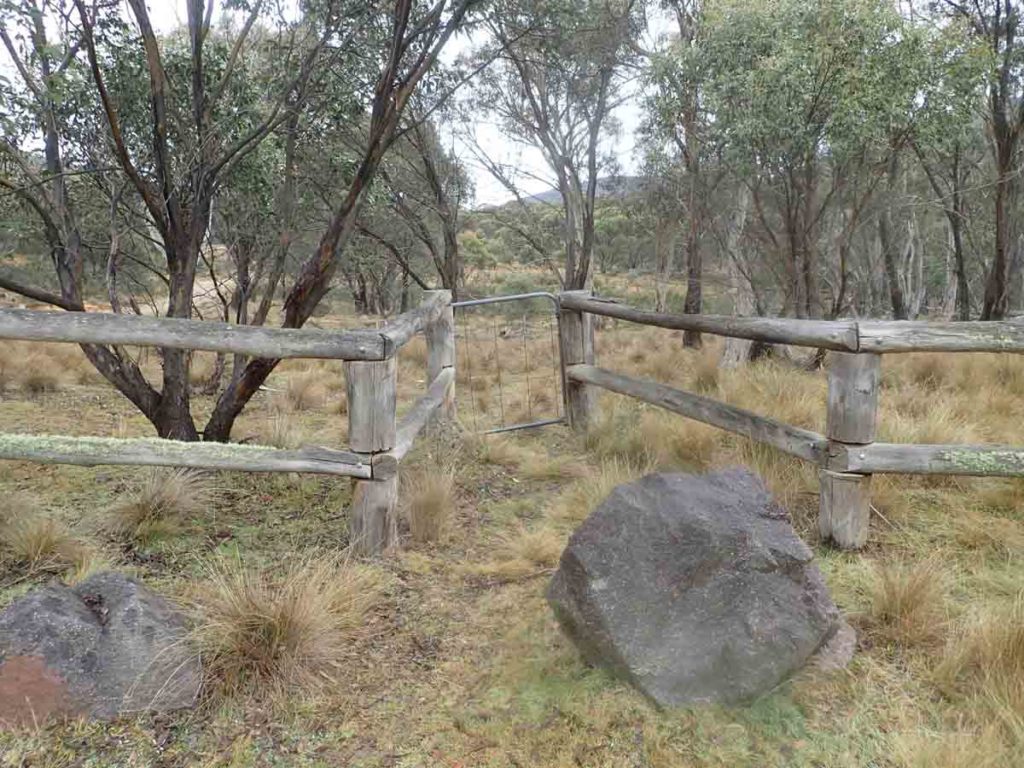
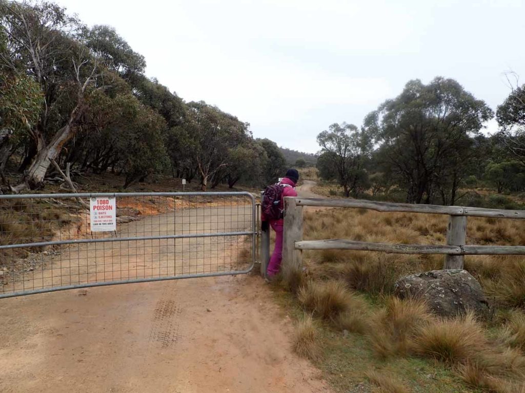
This access gate is stuck closed so access to the trail is through the gap at the main gate
Starting point
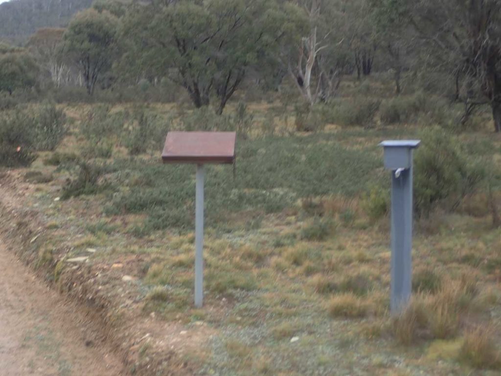
Trail register about 300 metres into the walk on the right hand side of the road. Make sure you note you are doing a one way trip
Big male wallaby on the side of the trail
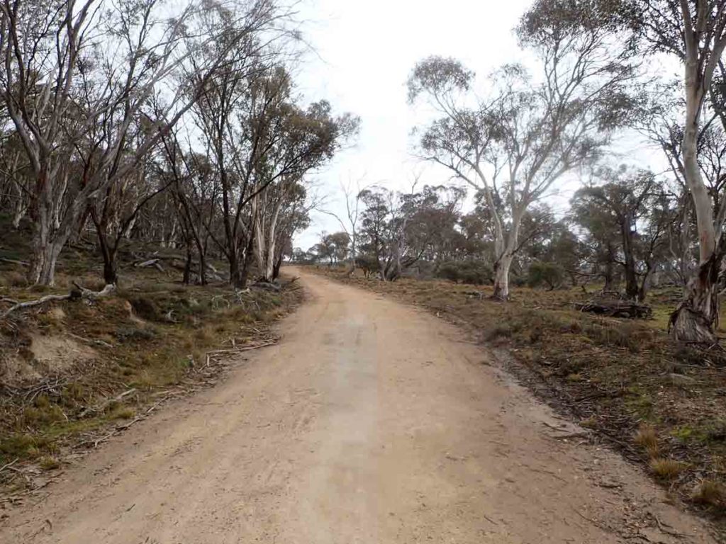
Trail example. The walk is on the Old Boboyan Road which has now become a management road
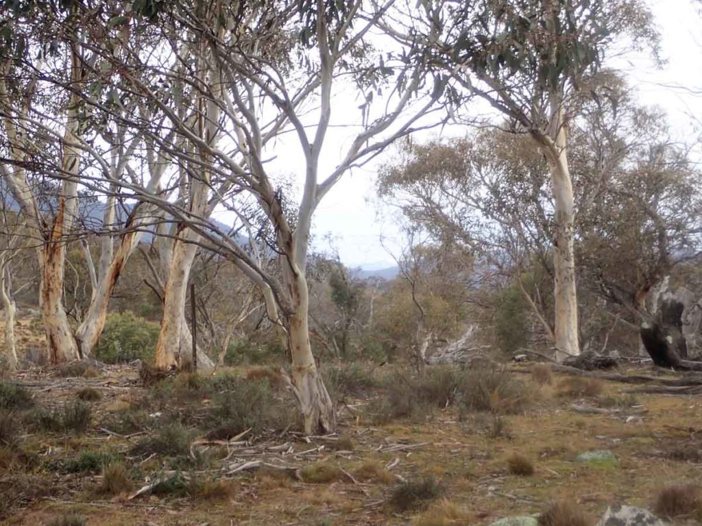
Forest on the side of the road
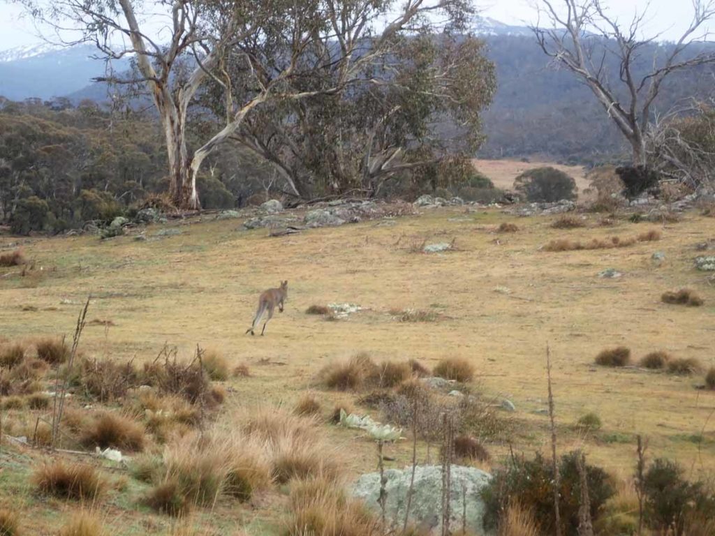
Usually at this end of the park the trees are too dense for kangaroos but with the old farmland in this area there were lots of kangaroos about
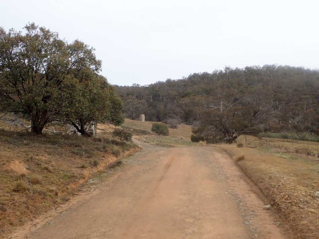
Homestead visible in the distance
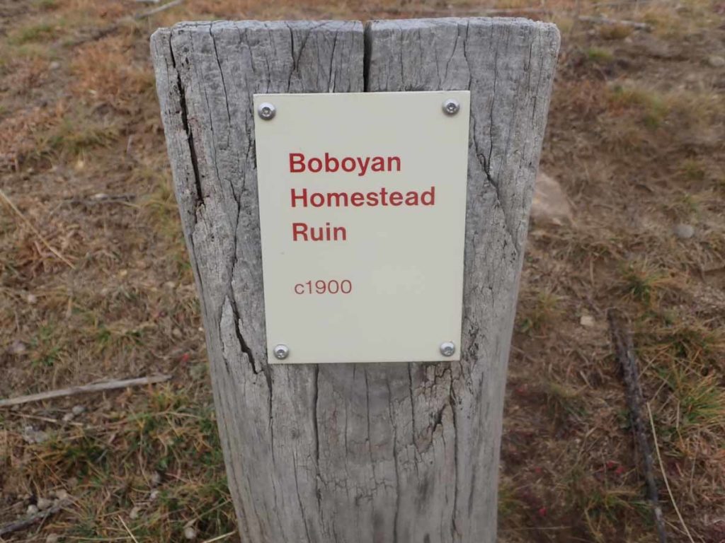
Marker sign

Approaching the Old Boboyan Homestead

Old Boboyan Homestead ruins
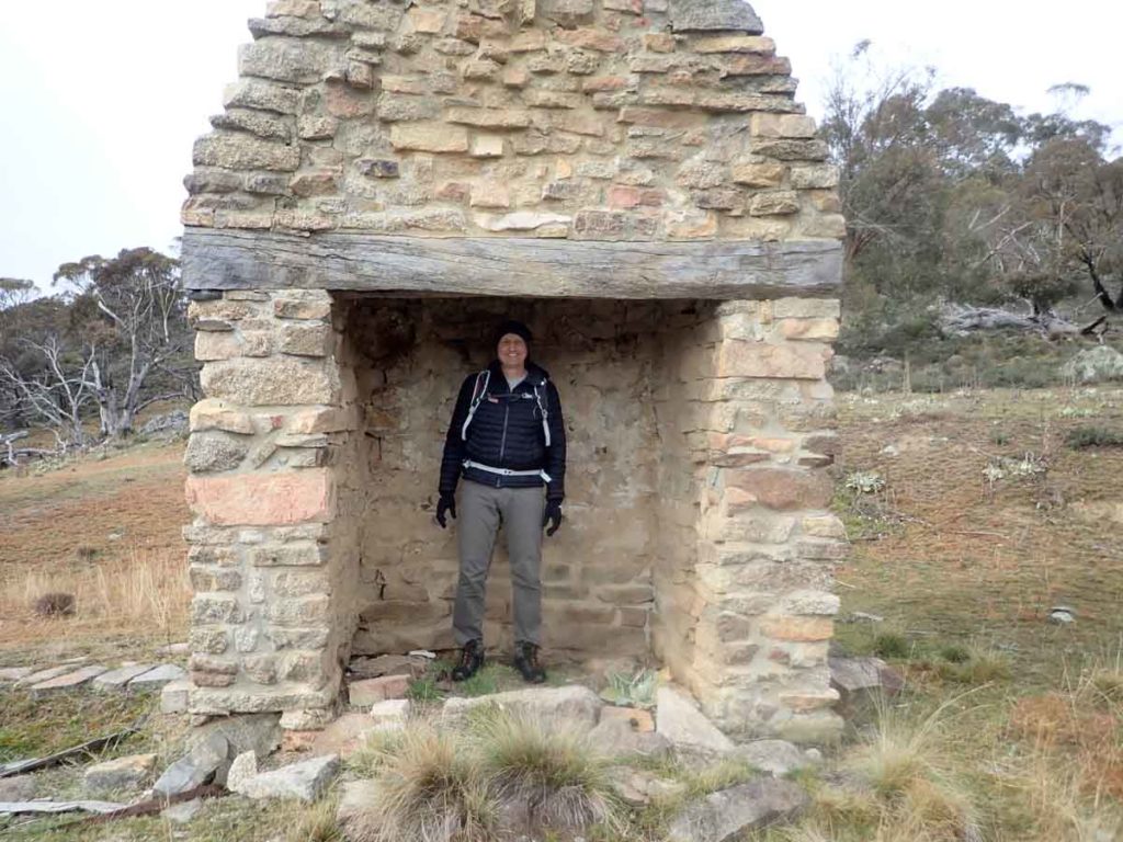
I think the chimney could be bigger

Grape hyacinth

These daffodils have survived for a 100 years which surprised me

Looking down to the orchard at the Old Boboyan homestead
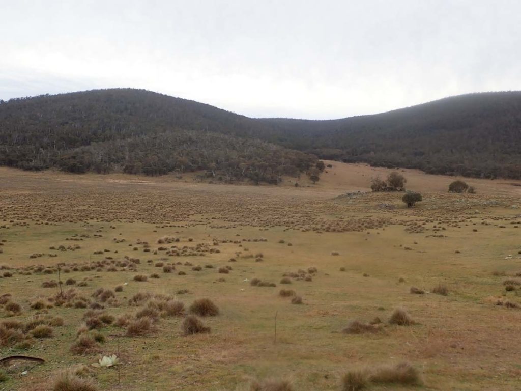
View down into the valley from the homestead
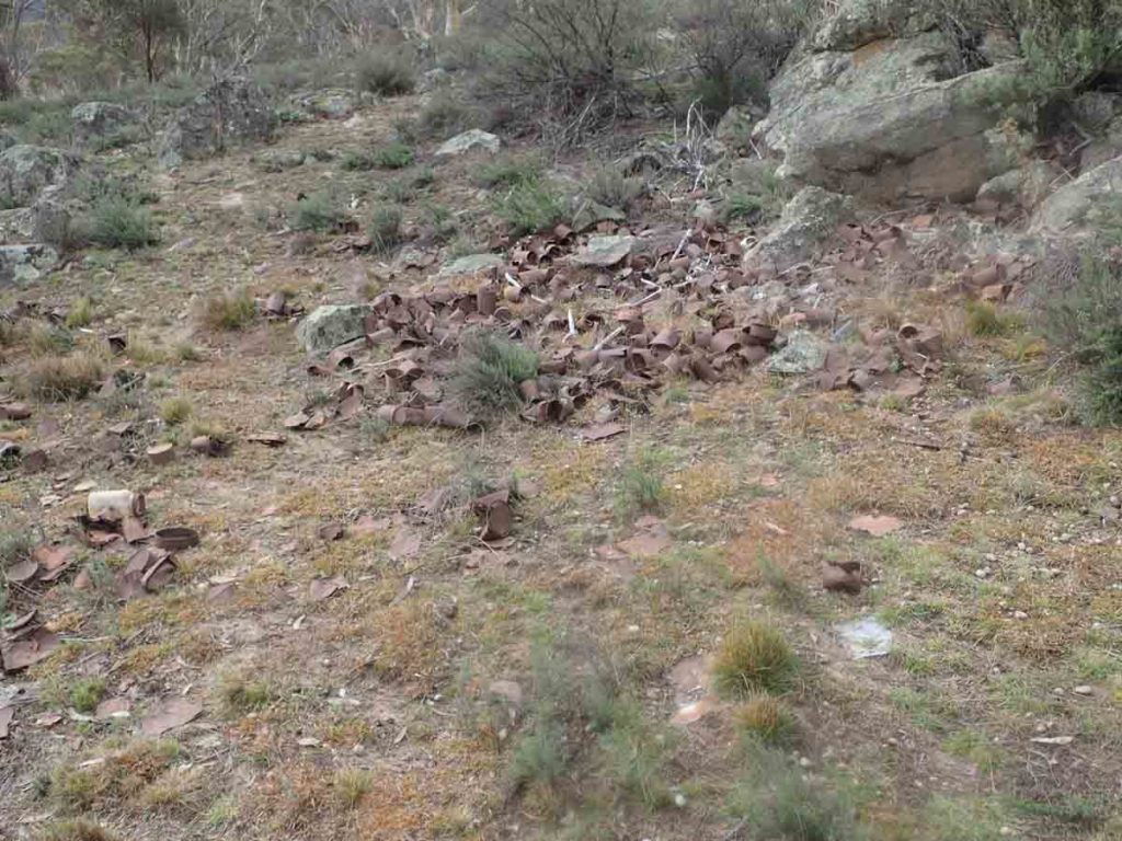
Old tin can dump
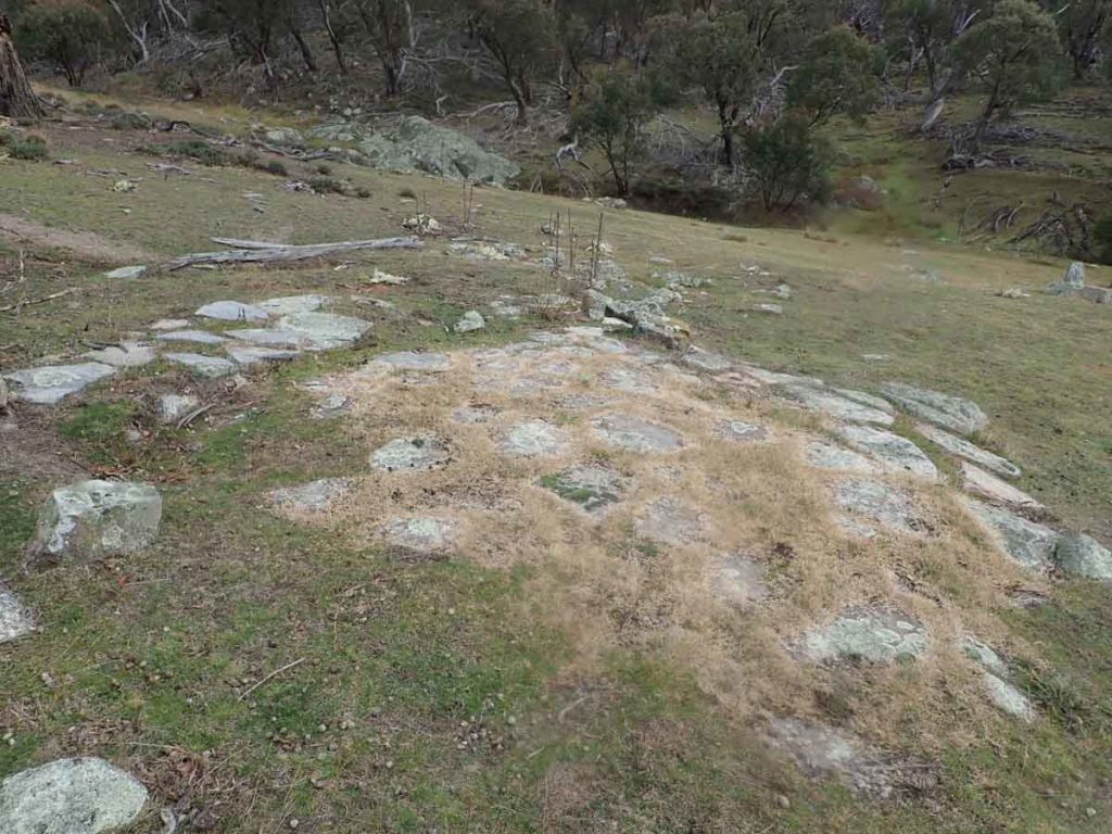
Old foundations – by the location this looks like the path to the outhouse

Eucalyptus foliage with new silvery growth

Snow and kangaroos. The snow on the distant mountains is almost gone

Turn left before the creek

Veer left at the Bulls Flat sign, see below

Follow the sign to Bulls Flat

Feet sticking out of mums pouch. This can’t be a comfortable position

Trail example

Veer left again

Follow the sign to Waterholes

Another trail example

Catching up with Gill who started at the other end of the trail

Tree clearing on the fire trail

Creek crossing near Waterholes Hut

Trail signage example

Natural fencing

Waterhole Hut

Inside Waterholes

Follow the signage to Westerman’s. This post is at the rear of the Waterholes Hut on the road and isn’t obvious if you haven’t walked this way before

Directional signage

Approaching Westerman’s Hut

Toilet at Westerman’s

Sheep dip at Westerman’s

Westerman’s Hut – very definitely a ‘homestead’

Inside Westerman’s

Cemetery at the rear of Westerman’s Hut

Heading to Brayshaw’s Hut

Bush trail
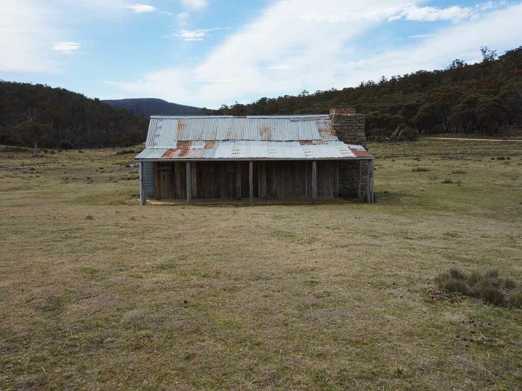
Brayshaw’s Hut

Inside Brayshaw’s

Brayshaw’s external image

Heading back to the car park at Brayshaw’s

Information kiosk at Brayshaw’s
Brayshaw’s car park
Trail Video
This video contains a series of images taken through the entire walk and shows you what to expect
Getting There
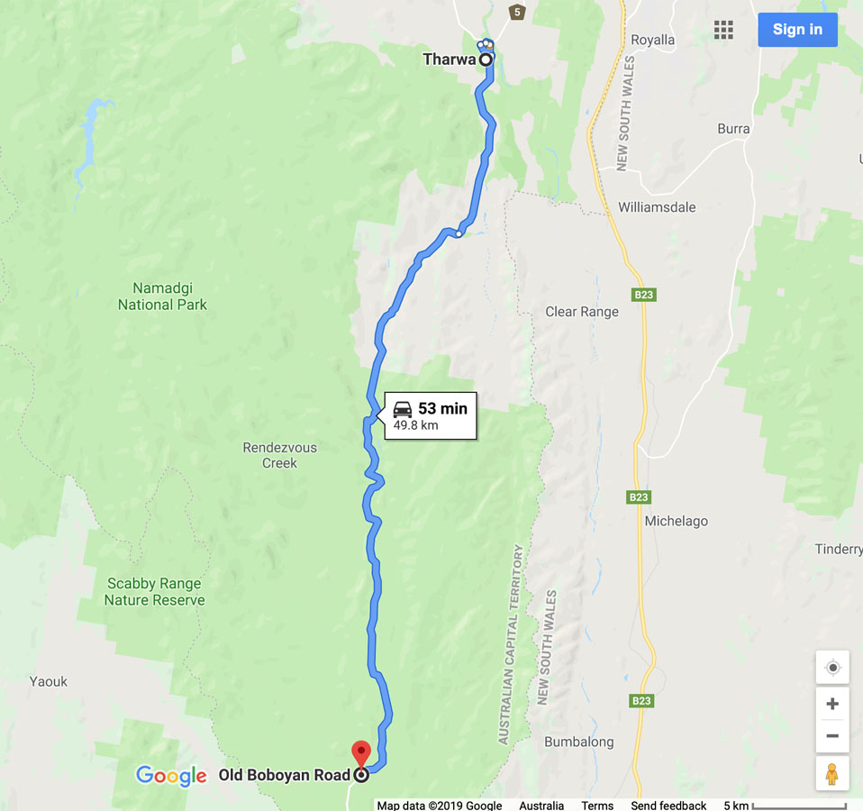
Google map showing the distance from Tharwa Bridge to the trailhead on the Old Boboyan road car park
- From the Tharwa Bridge head down Boboyan Road towards the Yankee Hat Rock art site
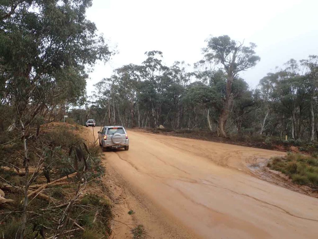
- Instead of turning off to the the right towards the Yankee Hat car park, keep on going. The bitumen ends not far from the Yankee Hat turnoff and the road is usually in good condition for an average car
- The road edges can be a bit soft and in cold conditions there can be snow and ice on the road so drive carefully. WARNING: sometimes the road may be closed so if doing this walk in winter check with the Namadgi visitor centre prior to driving to this site. On the day we did this walk the road was open to all vehicles
- At the end of the bitumen road, travel about 2.6 km until you come to the Hospital Hill lookout on the right hand side of the road. This lookout is signposted and the lookout is adjacent to the road so a stop off is well worth the visit as there are some great views
- From the Hospital Hill lookout head along the Boboyan Road until you reach the Mount Clear car park – your turnoff is the first turn on the right side which is approximately 500 metres further on.
The whole trip from the Tharwa Bridge is just on 50 km.
Yankee Hat turnoff. Keep to the left and head towards Adaminaby
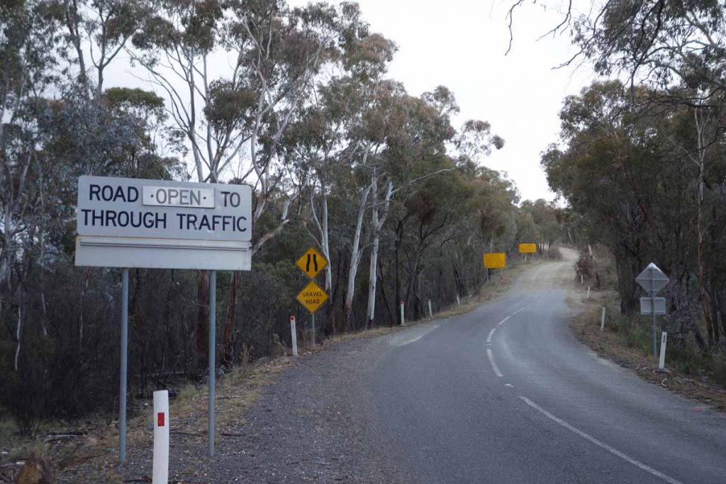
End of the bitumen road. The dirt road from here on is usually in good condition. Check that this road is open with the Namadgi National Park visitor centre if doing the walk in winter as there may be heavy snow on the road
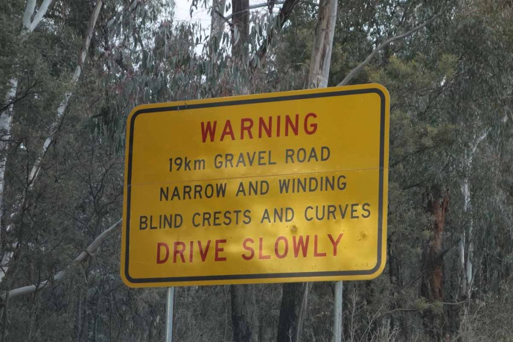
Road warning sign. You’ve been warned!
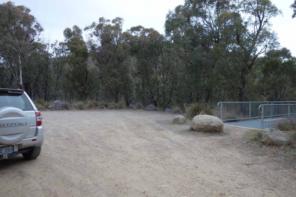
Hospital Hill lookout car park
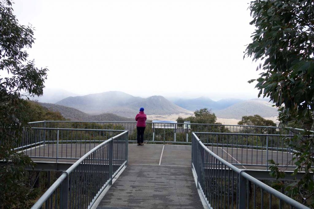
Hospital Hill lookout. Stopping here is worth the trip itself
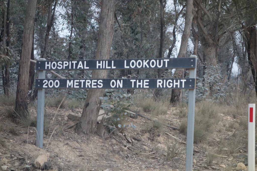
Hospital Hill lookout signage
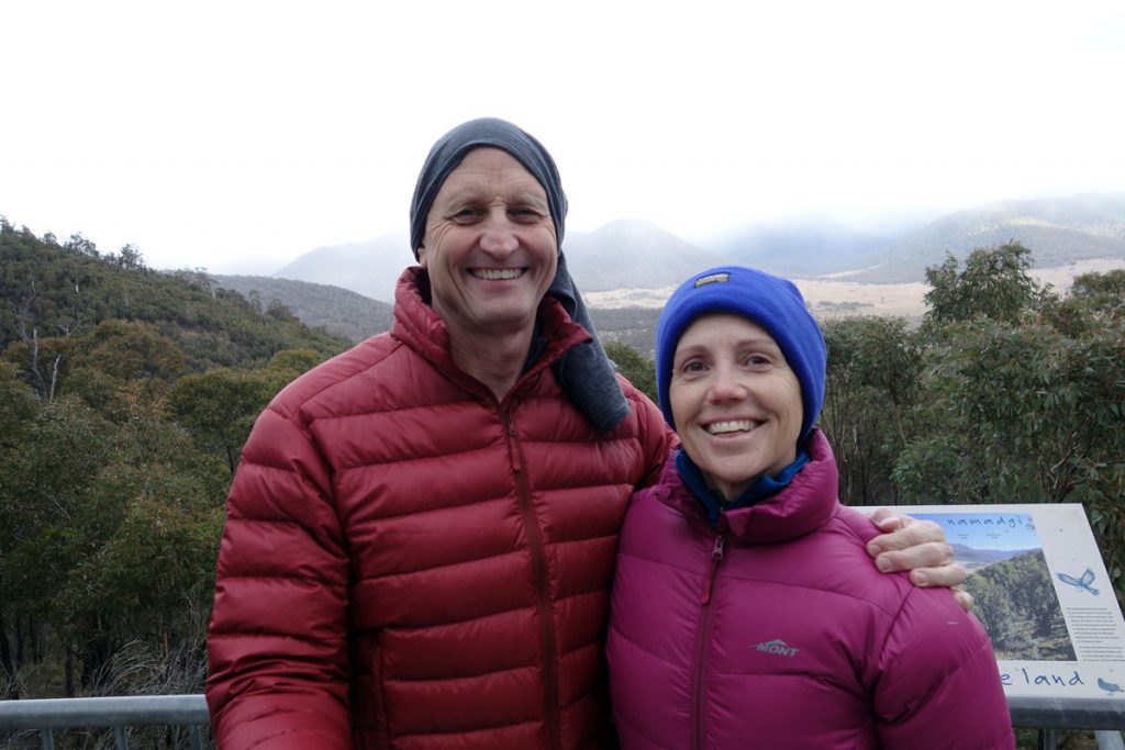
Tim and Gill at Hospital Hill lookout. The views from here are well worth the stop; and yes its cold
Turn off Boboyan Road to Old Boboyan Road. The trail head is about 700 metres down the road
Things to Know
- Phone: There is limited mobile phone coverage on this trail
- Water: You need to bring your own water as there is none unless you go looking for a creek
- Toilets: There is a toilet facility at Glendale which is approximately 16 km on the Tharwa side of Yerrabi Track so this is a good place to stop off if you need to use the facilities or want to have lunch on the way back
- There is a toilet as Westerman’s Hut
- There is a toilet at Brayshaw’s Hut
- Trail: This trail consists of formed track, and management road and occasional small bridge sections
- Dogs: No dogs allowed
- Camping: Camping allowed
- Other:
- The road may be closed due to snow so if its winter it would be worthwhile calling the Namadagi visitor centre
- Keep an eye on the road once you reach the unsealed section as there is a lot of 4WD traffic and blind corners
Map of walk

Map of 4 Huts Walk. The green trail in this image is the walk. You can purchase the full Namadgi map at the Park information centre
Disclaimer
This walk was undertaken by the team from Australian Hiker