Orroral Valley Circuit ACT (18.7 km)
ACT
Starting Location
Orroral Valley Tracking Station (former) carpark
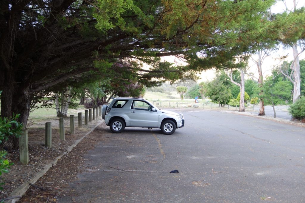
Carpark at Orroral Tracking Station
Finish Location
Orroral Valley Tracking Station (former) carpark
Best Time to Travel
Year Round
Orroral Valley Walking Track Summary
The Orroral Valley Circuit is another of those walks that consists of two halves. The first half of the walk is on management trail and while interesting the first time that you do it the first half of the walk for me is just a means to an end. It is the second hand of this walk that really shines and has that wow factor. The option exists to turn this into a two day walk and camp on the back half of this trail and this is where you get the views as well as remote area that provides you with a great atmosphere.
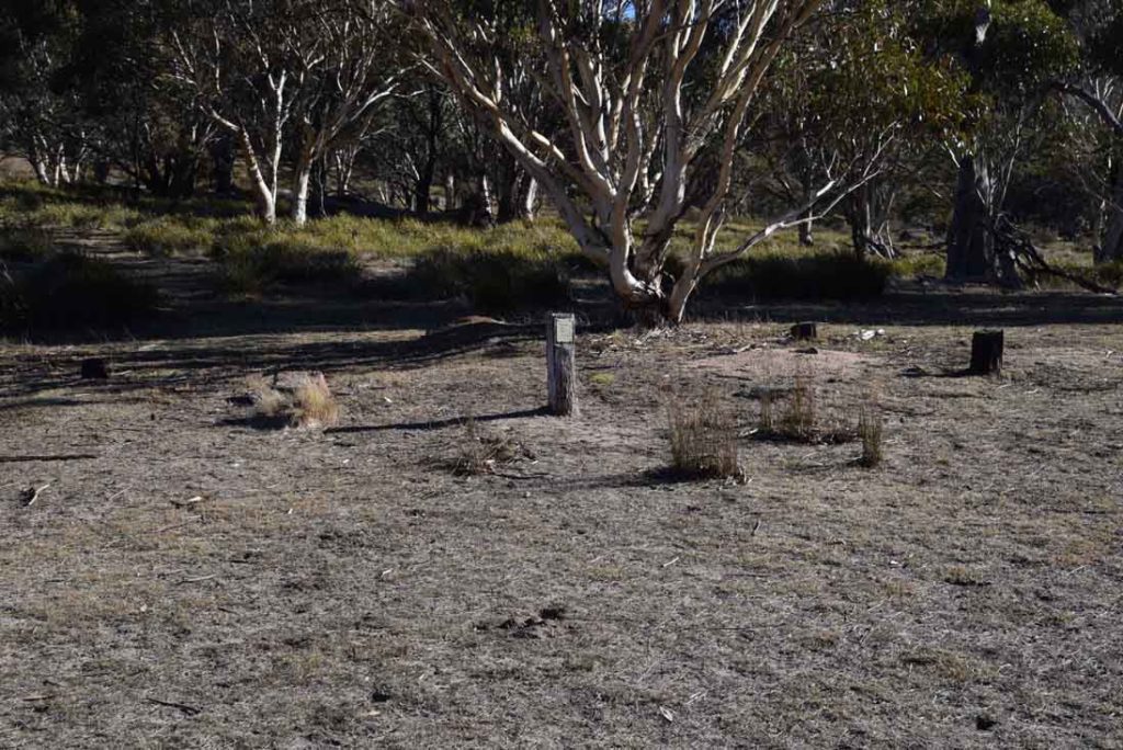
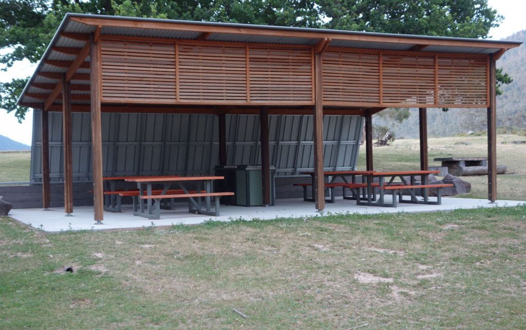
This walk starts at the site of the decommissioned Orroral Valley Space Tracking Station and the facilities provide a great day picnic or overnight camp in its own right with a decent toilet block, picnic tables and gas barbecues.
This walk can be done in either an anti clockwise or clockwise direction. I would recommend doing this walk in a clockwise direction so you end up with the best part of the walk last. This walk can be done as a single day walk if you have the fitness level to undertake a 20km day walk but can also become a great overnight walk in its own right. The first 5km of the walk is the most physically difficult with much of the elevation gain. The first 10km of this walk is on management road which will provide glimpses across the Orroral Valley to the Belfry and Sentinel Rocks walks on the ridge above before you head in to the more remote areas of the valley.
At around the 5.8km mark you will come across the turn of on the left which takes you towards Cotter Flats and Mount Bimberi on the Australian Alps track. In fact you have been on that track since about the first 1km into the walk. Keep on going past this turnoff and continue following the management road. Keep and eye out for the signage and at around the 7.5km point you will turn towards the right. This turn is signposted and indicate the way to the Smokers Trail so unless you have really zoned out you won’t miss it. Keep on going along this trail and at around the 10.5km point you will have another signposted turnoff onto a grassy vehicle trail that commences your walk back towards the start point along the centre of the valley.
It is at this stage where the walks starts to become really interesting. Walking though treed areas in natural grassland following an occasionally mown, rarely used, vehicle trail. The Kangaroos that you see along the way are timid and will hop away unlike most others that you see in the valley. The views to the Orroral ridge to the left of the trail and the hills to the right provide good interest and there are plenty of good potential campsites along the way. Please note that camping in Namadgi National Park (as opposed to the Bimberi Wilderness) is only permitted in designated campgrounds. Having said that people do camp in other areas but you do so at your own risk.
The walk down the valley keeps to the right hand side and there is a reason for that. In early to mid Spring the central part of the valley, at its lowest point, is a natural swamp and this becomes very obvious when there has been good rains and a bit of warm weather when you notice the lush green growth. You can cross but you need to very carefully pick your crossing points and to also keep an eye out for snakes hunting frogs and other water creatures.
As you head down the valley you go past the remains of old farm properties including fencing and sheep yards and as you move down the valley eventually connect back with the management trail to started this walk on.
At just on 19km in distance this is a difficult walk particularly as the management trail is hard on your feet but if you are up for a walk of this length then it is worthwhile doing at least once, if not more often.
The path to the trail at the Orroral Valley Tracking Station car park

Turn right when you reach the road at the top of the hill. If you go straight ahead you will be walking to the Granite Tors

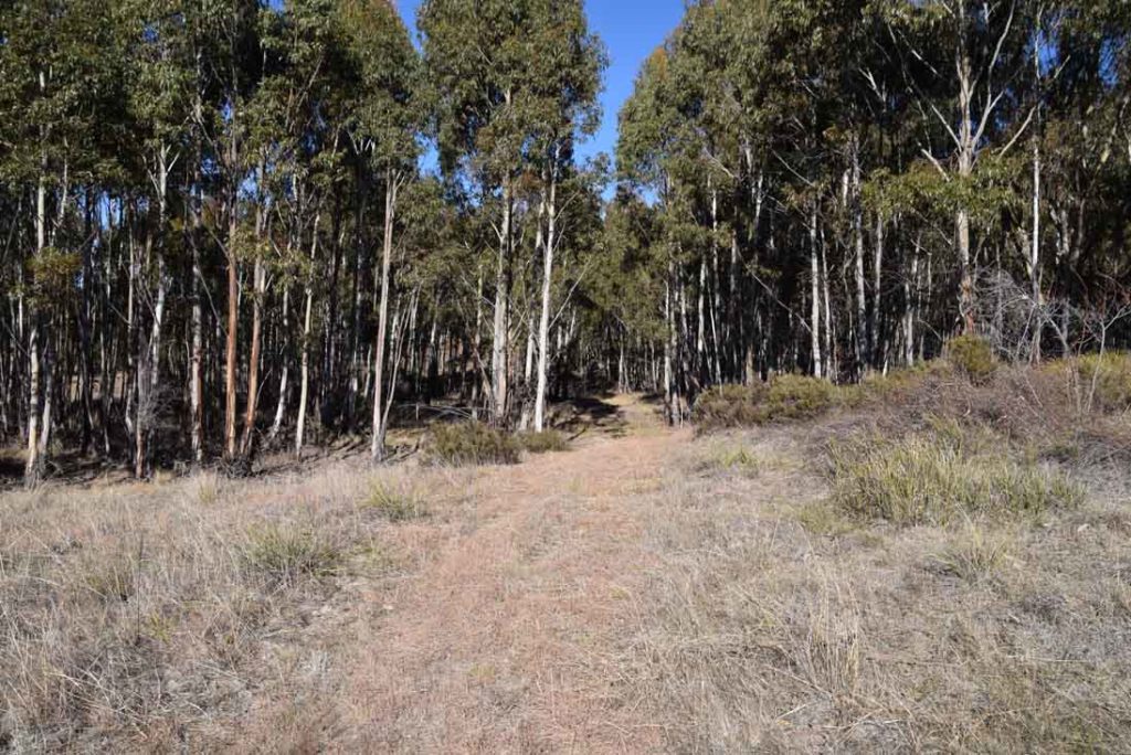
Management road which makes up the first 10km of the walk

Turn off the Cotter Flat and Mount Bimberi is about 5.8km from the start of the walk. keep on going past this turnoff and continue to follow the management road

Creek flowing under the road

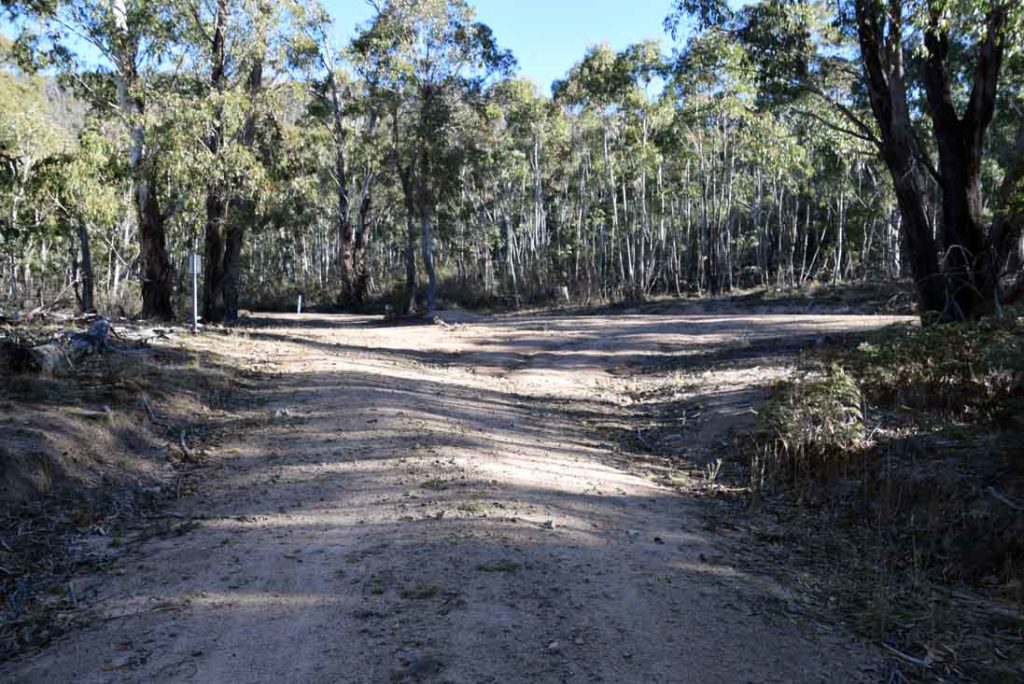
Turn right here

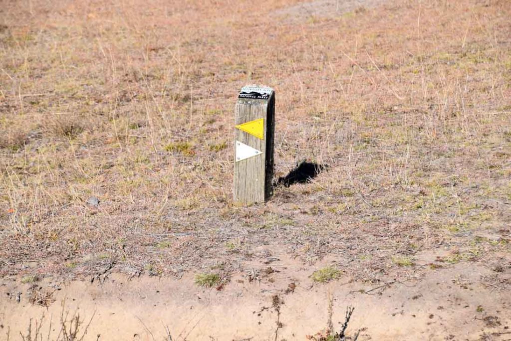
The turnoffs are well marked
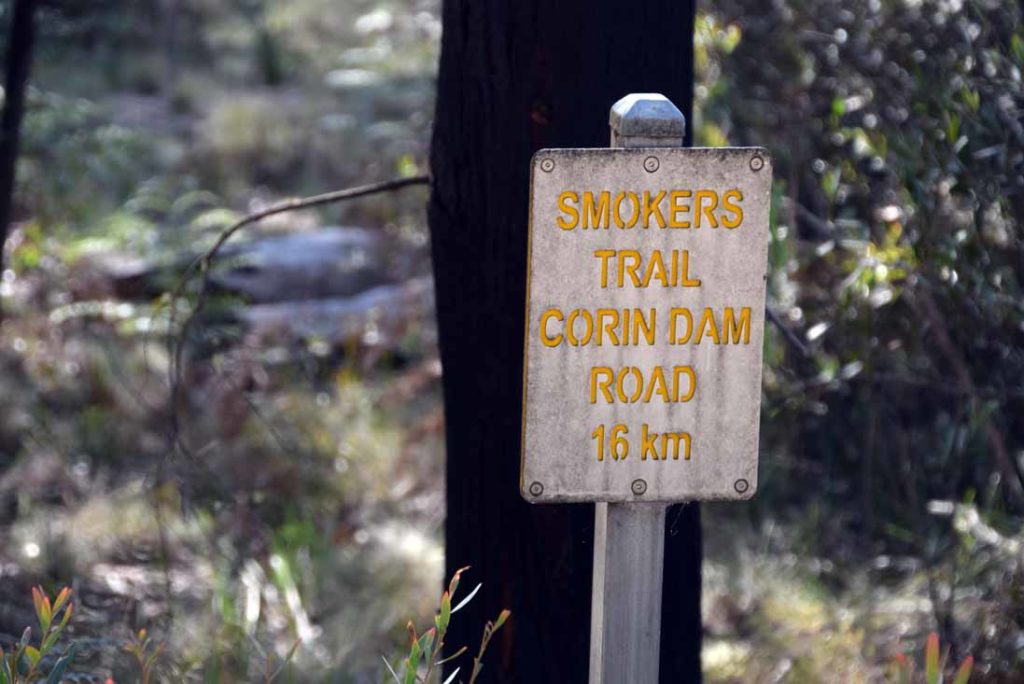
You are now on the smokers trail for a couple of kilometres

Keep an eye out for the turnoff sign on the right

Turn right into Orroral Valley
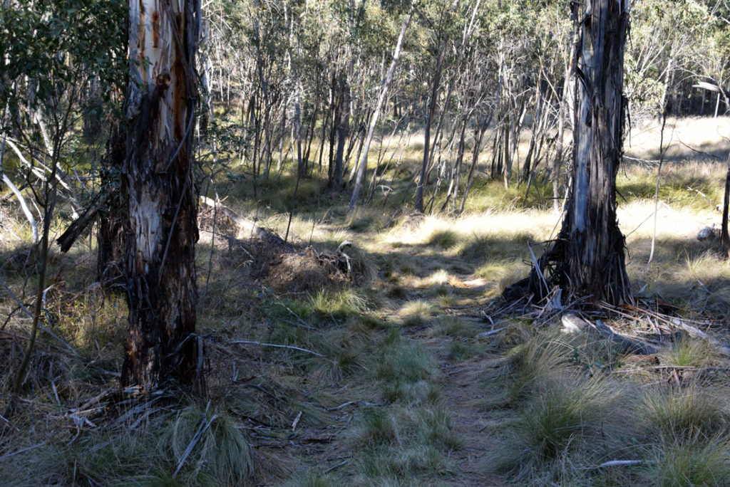
From here the trail become mown grass

Small flowing creek on this part of the trail. The creek in this image is connected to the previous water body shown

Grevillea in flower

Hakea seed pod

Black Sally Eucalyptus. The bark on this small eucalyptus is one of my favourites

Banksia in flower
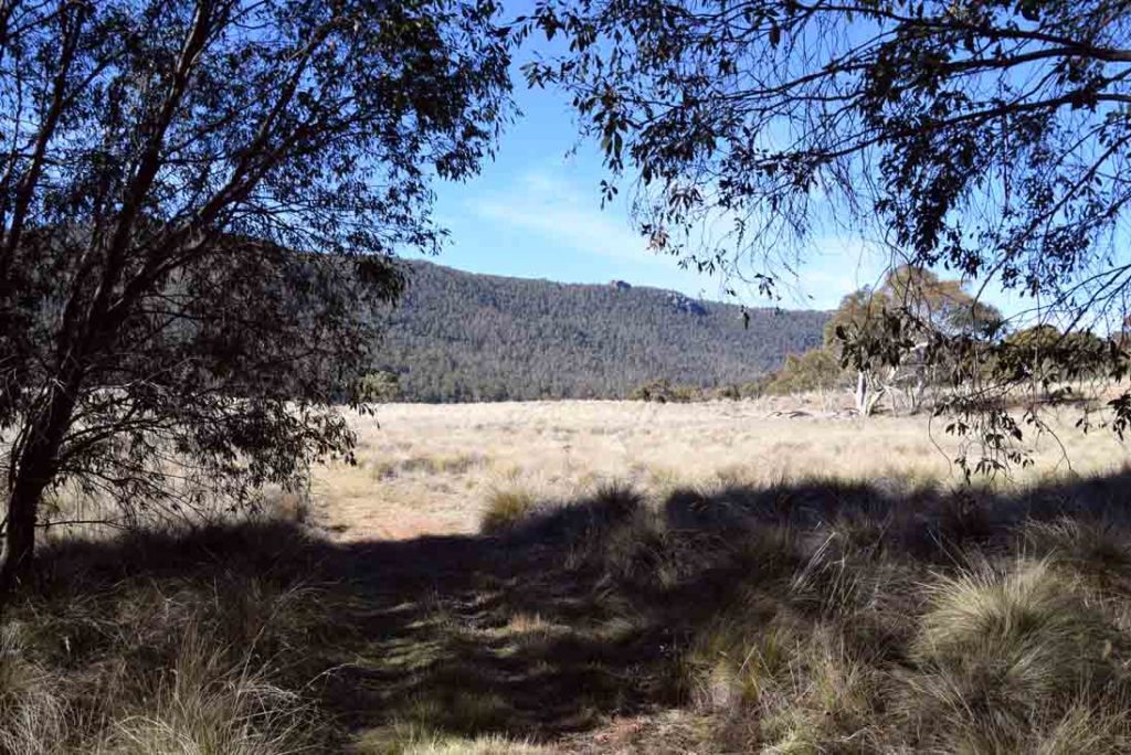
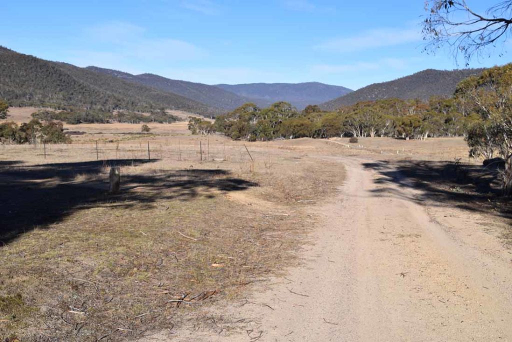
Out of the trees into the valley
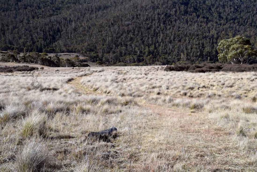
Follow the flattens grass its very obvious so long as you pay attention
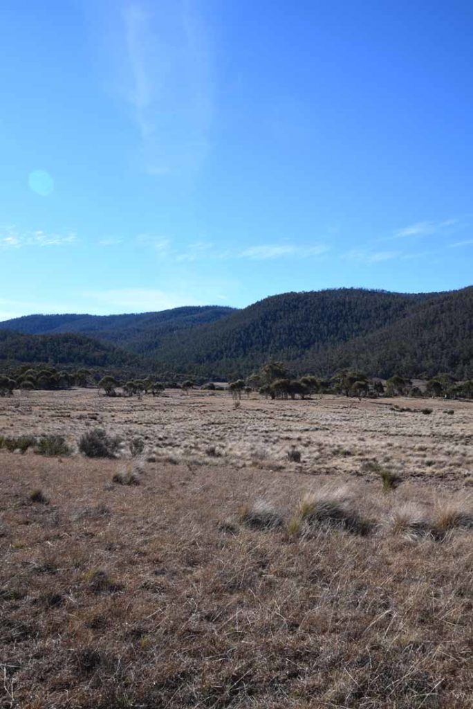
Open grasslands
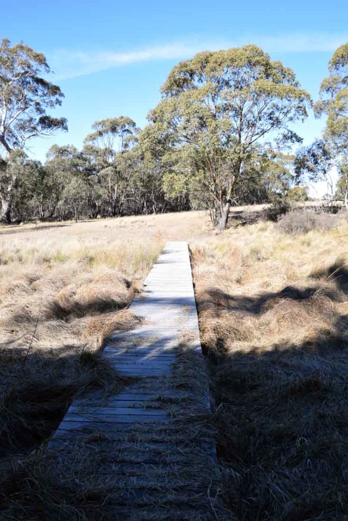
Over the swamp
Thats a swamp down in the bottom of the valley and in the warmer months is very noticeable because its lush and green where everything else is a bit dry
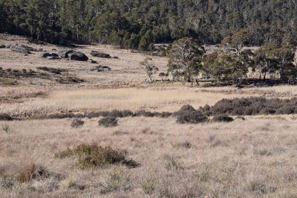
Rowleys Hut ruin. There is pretty much nothing to see here
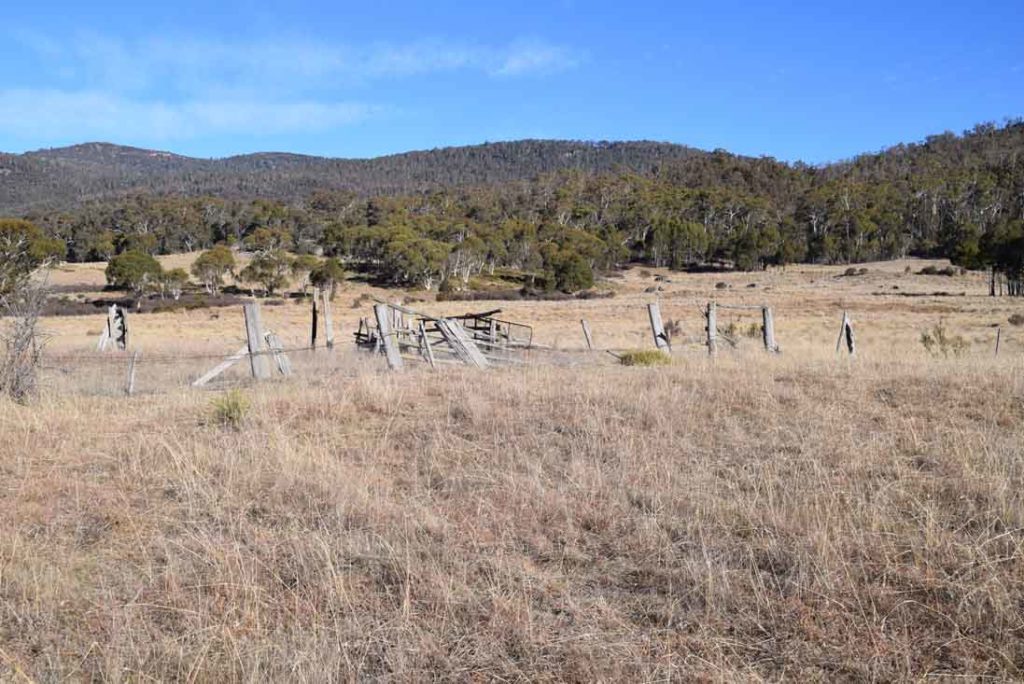
Old farm ruins
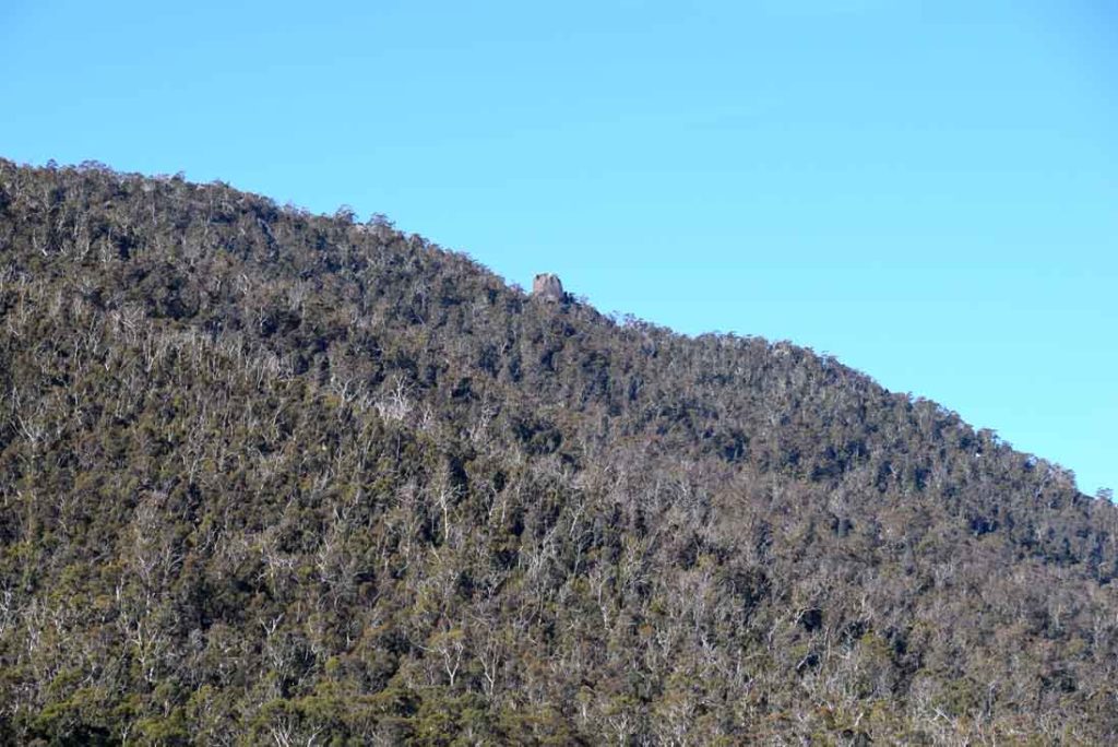
The Belfry rock formation that forms part of the Orroral Ridge of Stone
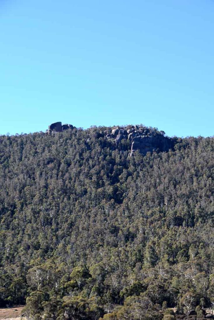
Sentinel Rocks and Trojan Wall up on the Orroral Valley Ridge of Stone
Back into the trees
Follow the signs
Back on the road and turn left
Back down to the car park. Dont forget to sign the bushwalking register to say you have returned
Getting There
The former Orroral Valley Tracking Station complex provides an excellent carpark from which to base a number of walks in this region. To get to the tracking station drive from Tharwa approximately 30 km from the Tharwa Bridge along the Naas Road to the former Orroral Valley Tracking Station.
Travel along Naas Road (this road changes to Boboyan Road) past Apollo Road and turn off onto Orroral Road which is approximately 18 km from Tharwa on the right. Continue on Orroral Road past the campground and the road will finish in the tracking station carpark approximately 10 km from the turnoff. If you arrive early in the morning there are a few heavily shaded carparks that will keep your car cool for the day if travelling during the hot part of the year.
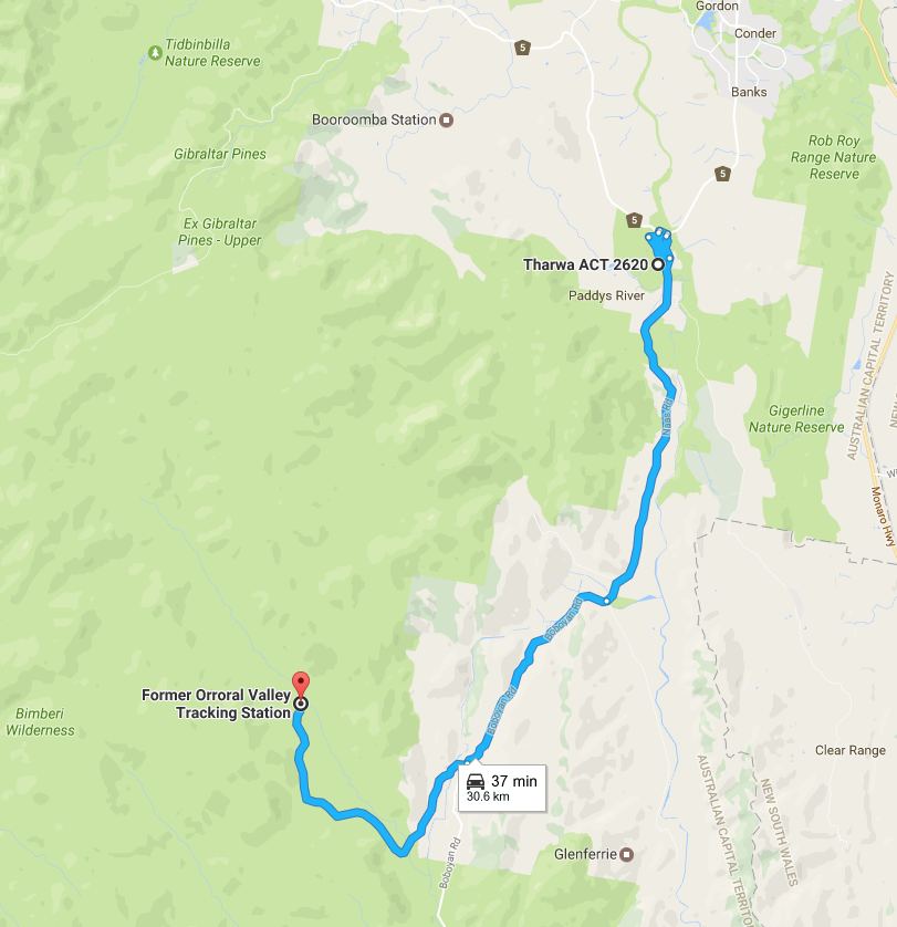

The information signage for this walk is located at the Nursery Swamp car park which you will drive past to get the the Orroral Valley Tracking Station Car Park.
Things to Know
- If the approximate 19km is to much for you for a one day hike then look at turning this into an overnight trip.
- There is usually no phone signal on this trail with intermittent signal available at the car park
Carpark at Orroral Valley Tracking Station
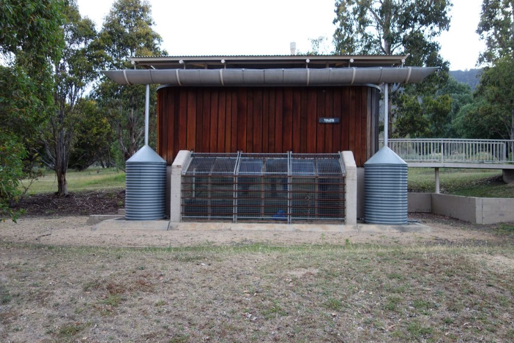
Toilet block. Note the space age design that references the Tracking Station
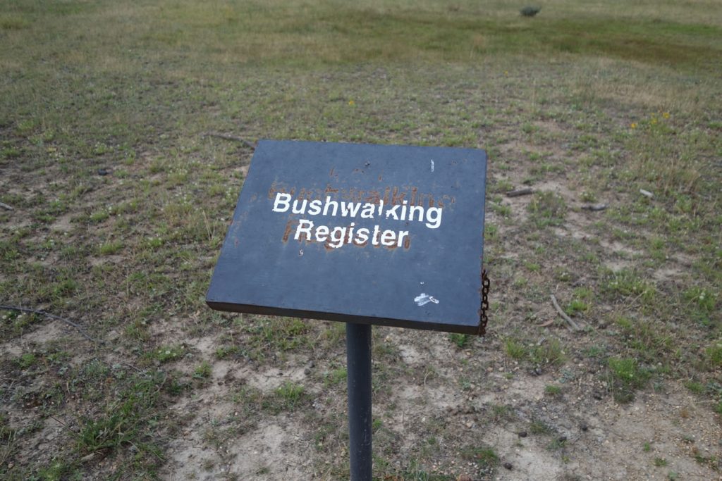
Bushwalking register: remember to sign in and out
Disclaimer
This walk was undertaken by the team from Australian Hiker