Old Boboyan Road ACT (15.6km)
Namadgi National Park
Nearest Town
Tharwa is approximately 50 km from this trail head. Please note that Adaminaby is about 40 km in the opposite direction
Starting Location
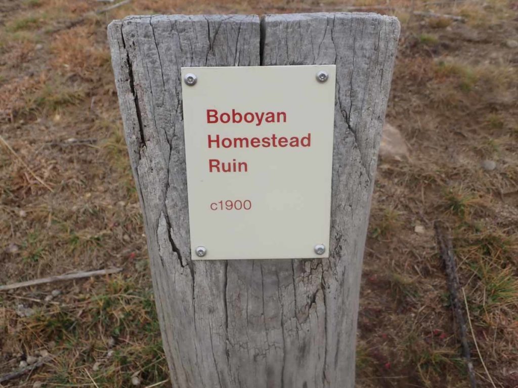
Old Boboyan Homestead car park
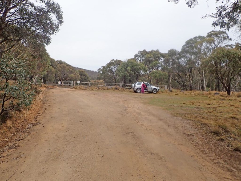
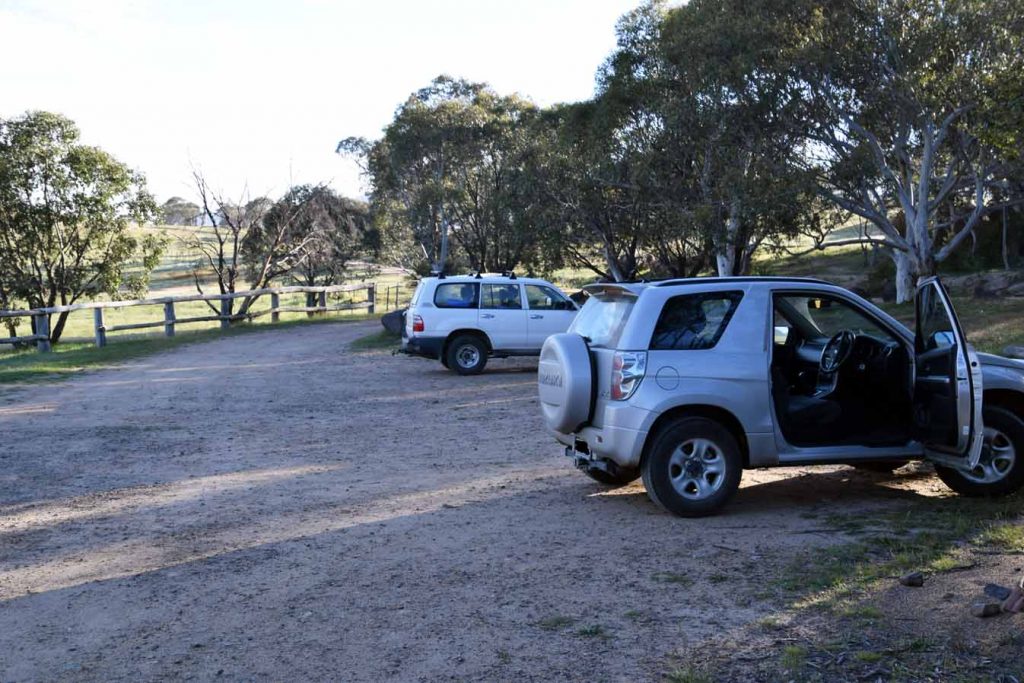
Trail head car park on the Old Boboyan Road
Finish Location
Yankee Hat car park
Old Boboyan Road Trail Review
I love the southern end of Namadagi National Park. It has a sense of remoteness combined with a rural flavour that makes this region unique. This walk is a bit of a drive from central Canberra being around 70 km from the GPO and around 50 km from Tharwa or for that matter, about the same distance if you choose to head to Adaminaby in the other direction.
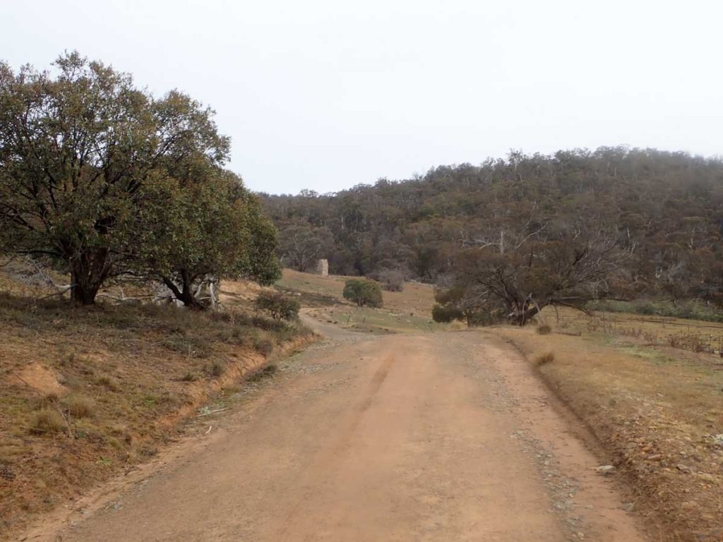
Head down the centre of the park on Boboyan Road and keep an eye out for the Mount Clear Campground on the left hand side of the road. The turnoff to the trail head which is Old Boboyan Road, is on the right side and around 500 metres past Mount Clear. Once you turn off onto Old Boboyan Road you have about a 700 metre drive to the trail head car park which is located at a locked gate.
There are two main walks that start from this trail head. The first the 5.1 km Old Boboyan Homestead walk which is an out and back walk for those who either don’t have a lot of time or energy, or the longer Old Boboyan Road walk at 15.6 km. This longer walk takes in the homestead walk and is usually done in one direction so is dependent on having a couple of cars or someone willing to drop you off and wait at the other end. If you are really keen then you could do this as a 32 km walk and if that is the case, we recommend you start the walk at Yankee Hat which would make the first 6 km of the walk the hardest section and then provide an easy run to the turnaround point and back. There is also the option of camping overnight.
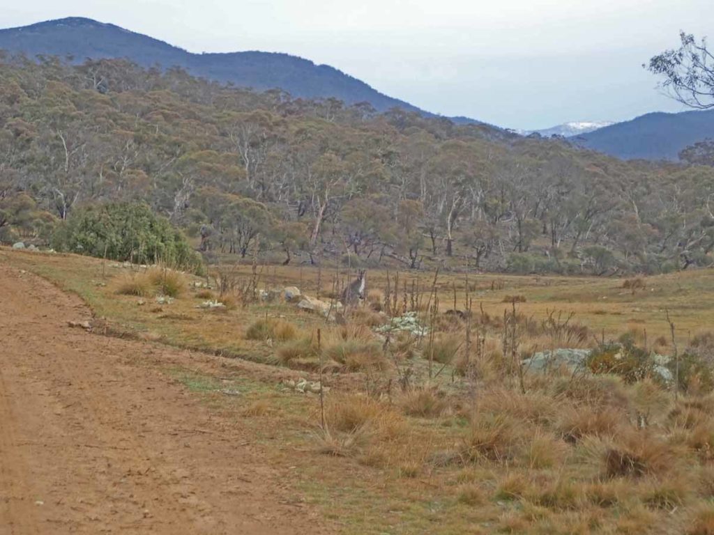
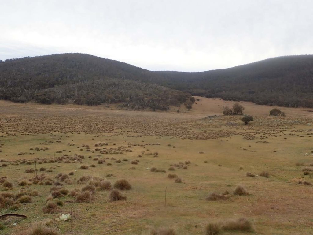
This walk is all on management road and to reach the homestead site which is your first stop is around 2.4 km. This walk is essentially a mix of old farmland as well as a mix of mainly mallee eucalyptus forest, and open grassland that made me focus on the surrounding landscape rather than the road. Usually in this area of Namadgi National Park all you tend to see are wallabies due to the dense trees but in this case with the open grass areas, there were lots of kangaroos as well.
The walk is flat-ish to sightly uphill all the way to the old homestead site but not enough to be strenuous. The first indication you have reached the old homestead is the very obvious and visible old chimney. On our first visit to this site we spent around 45 minutes wandering around taking in the sites so if this is your first walk, then factor in exploration time.
After you have had a good look continue on in the same direction you were heading along the Old Boboyan Road at the 5 km mark you will come across a well signposted ‘t’ intersection so continue right towards Yankee Hat. On the day we did this walk, the creek at this point required some creative stepping to cross. It was by no means deep but I prefer to keep my feet dry when I can.
At around the 6 km mark you will be heading up hill for the majority of the altitude gain and while its a reasonable gain its not too bad particularly when you realise that apart from this 1.5 km section the rest of the walk is pretty much down hill.
The walk continues through dense mallee forest and at around the 11.3 km on the right hand side of the road you will come to a turn to the right which will take you to the second hut on this walk – the Hospital Creek Hut. The turn is not signposted and in fact if you aren’t paying attention you are likely to miss it altogether. The only thing that convinced me I had the correct turn was I was expecting the turnoff and there were faint wheel marks heading into the bush. The hut is around 300 metres down this road.
This hut is in good condition and has been maintained as an emergency shelter. It is also nestled in a small sheltered valley which is probably explains its location. After spending some time at the hut, head back out to the main road and then continue your walk. You have the option of doing a third hut, Frank and Jacks Hut, with the turnoff at the bottom of the last main downhill section which adds around another 1.5 km. Finish the walk by heading back to the Yankee Hat car park.
Wildlife on this trail will vary depending on the time of year but kangaroos and wallabies will be fairly common. On the day I did this walk I also saw two male lyrebirds, one of which was totally black. I just wish they wouldn’t run so quickly.
This is a great walk for those with the fitness to go the distance and one well worth doing even considering the car shuffling required.
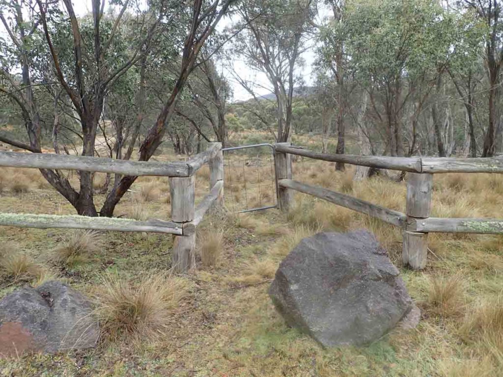
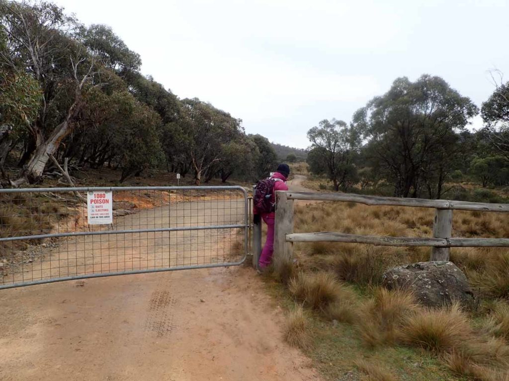
This access gate is stuck closed so access to the trail through the gap at the main gate
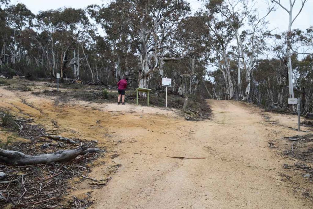
Starting point
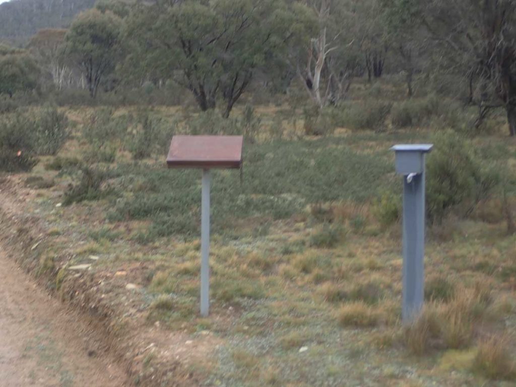
Trail register about 300 metres into the walk on the right hand side of the road. If doing this walk in one direction make sure you note that in the register
Big male wallaby on the side of the trail
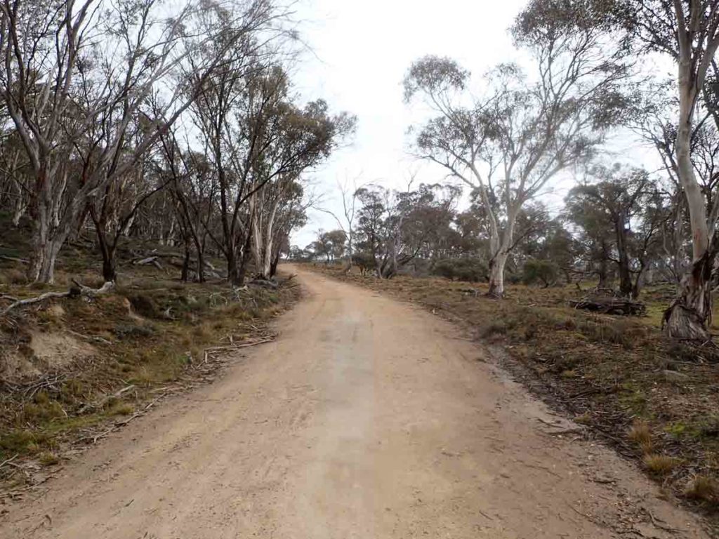
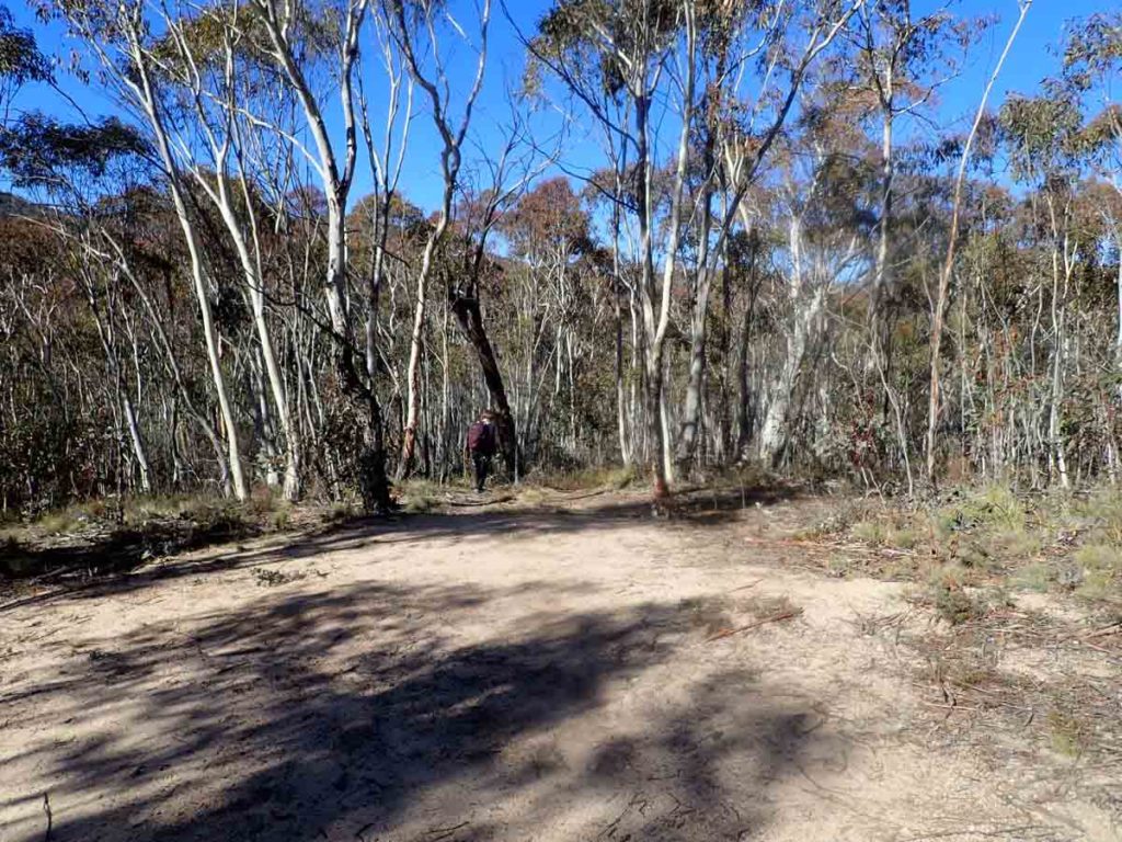
Trail example. The walk in on the Old Boboyan Road which has now become a management road
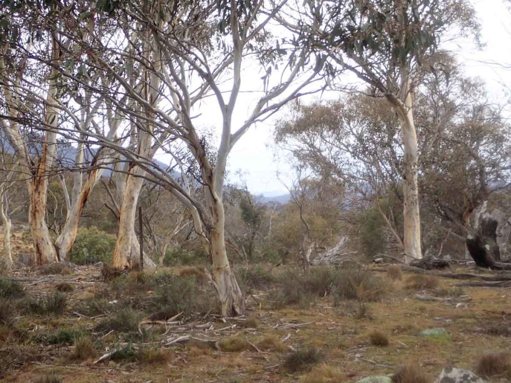
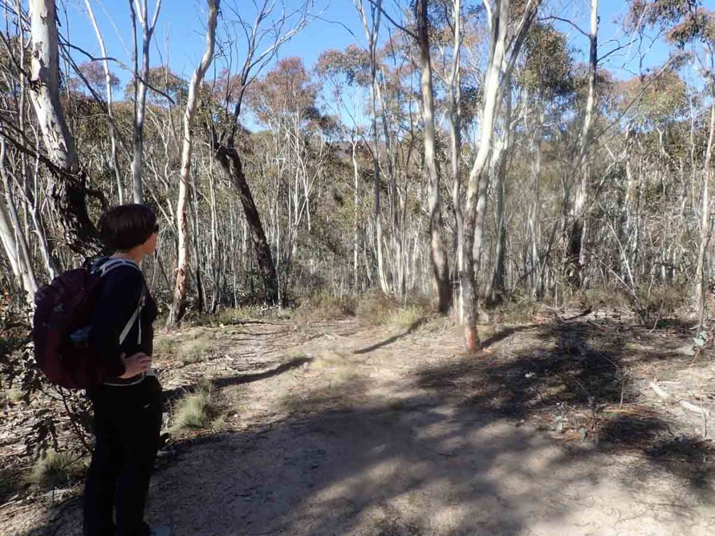
Forest on the side of the road
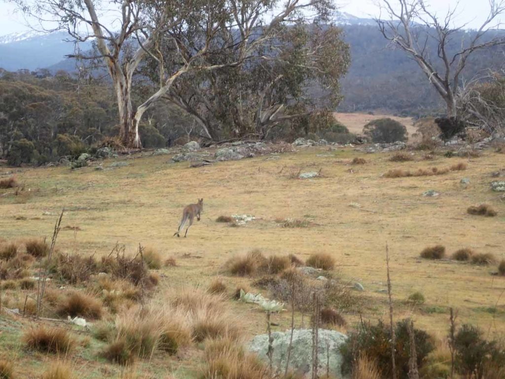
Usually at this end of the park the trees are too dense for kangaroos but with the old farmland in this area there were lots of kangaroos about
Homestead visible in the distance
Marker sign
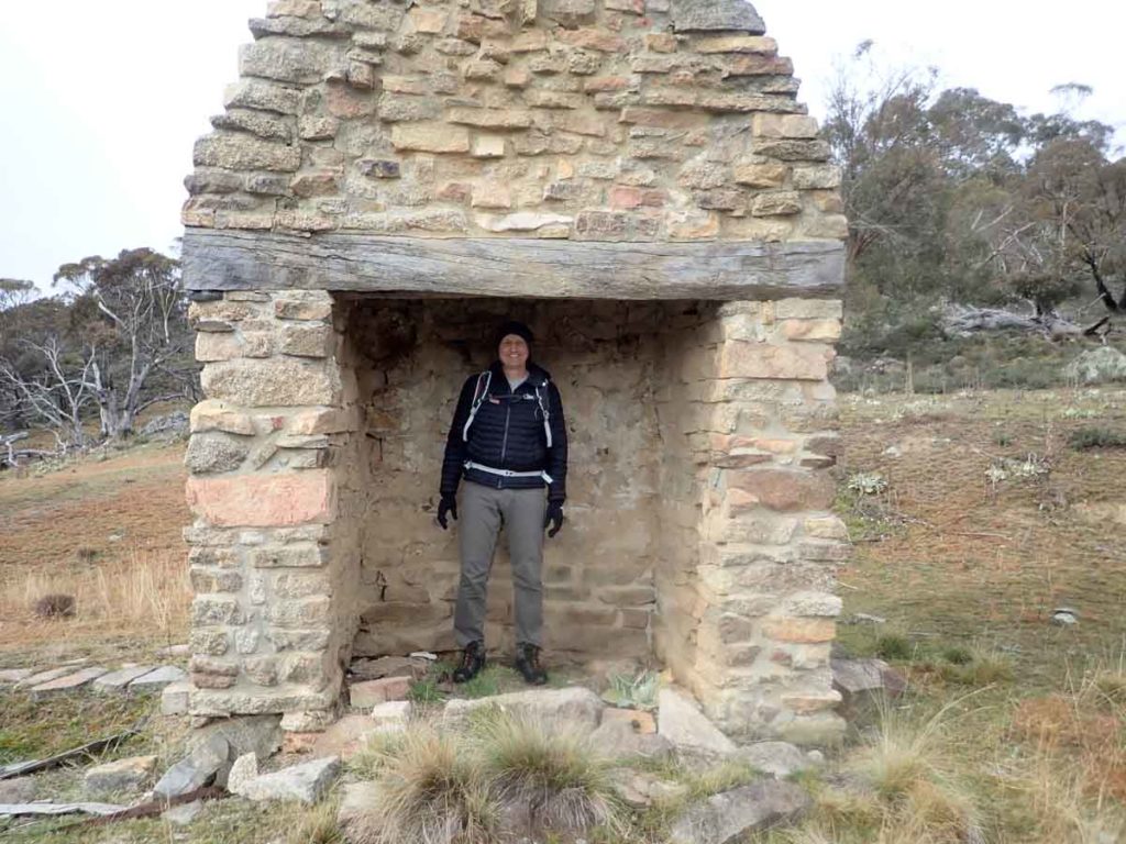
I think the chimney could be bigger
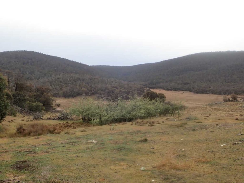
View down into the valley from the homestead
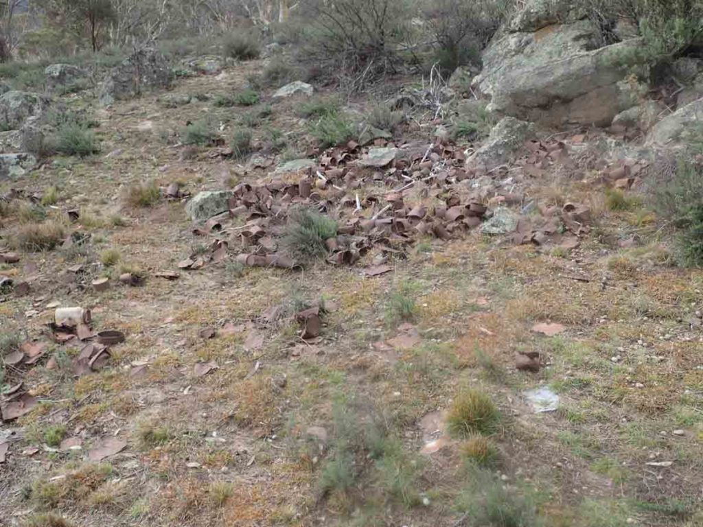
Old tin can dump
Old orchard
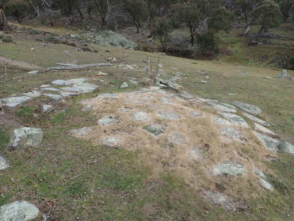
Old foundations – by the location this looks like the path to the outhouse
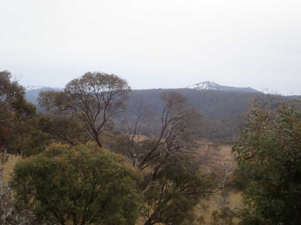
Snow covered mountain in the distance. Even though you are heading down to the bottom of the ACT you are increasing in altitude into the snow zone. During mid winter expect this area to have snow coverage

Banksia in flower

Kangaroos everywhere

Creek crossing about 5 km
Turn off to Hospital Creek Hut. The turnoff is not well marked so you need to pay attention for the turn otherwise you may miss it. This turn is just over 11 km into the walk.
Close up of the turn. Notice the wear mark from the occasional rangers vehicle. The hut is about 300 metres in from Old Boboyan Road
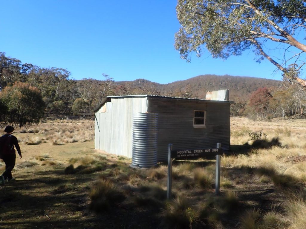
Hospital Creek Hut
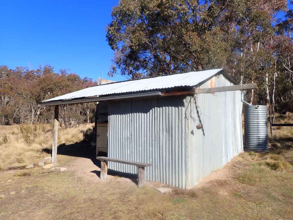
Front view of Hospital Creek Hut
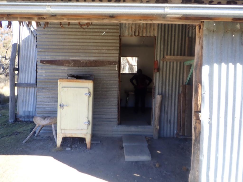
Hospital Creek Hut entry
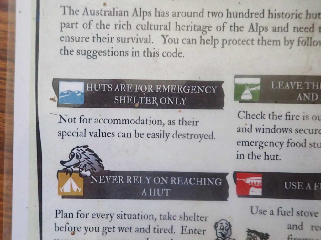
Hut information signage. Emergency use only
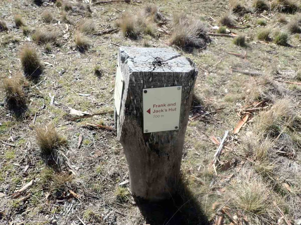
Turn off to Frank and Jack’s Hut on the left side of the road where the trail flattens out
Trail register towards the Yankee Hat car park. Remember to sign out if you sign in at the other end of the trail
Yankee Hat car park the ending trail head
Getting There
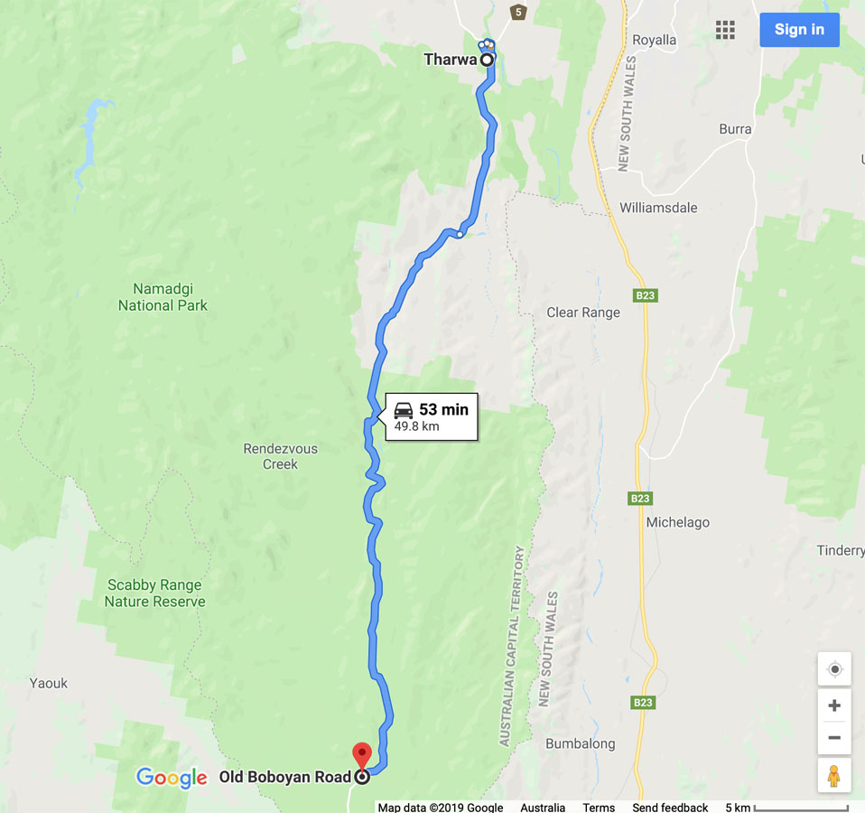
Google map showing the distance from Tharwa Bridge to the trail head on the Old Boboyan Road car park
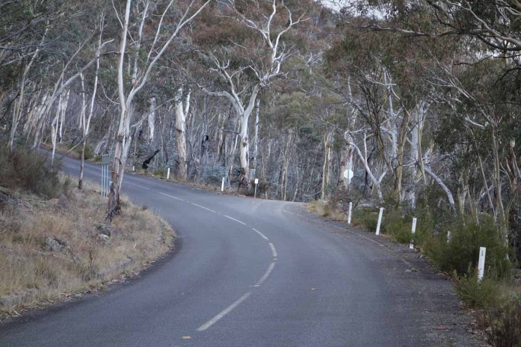
- From the Tharwa Bridge head done Boboyan Road towards the Yankee Hat Rock art site
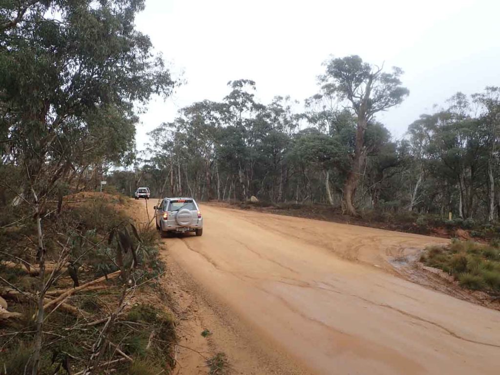
- Instead of turning off to the the right towards the Yankee Hat car park keep on going. The bitumen ends not far from the Yankee Hat turnoff and the road is usually in good condition for an average car
- The road edges can be a bit soft and in cold conditions there can be snow and ice on the road so drive carefully. WARNING: sometimes the road may be closed so if doing this walk in winter check with the Namadgi Visitor Centre prior to driving to this site. On the day we did this walk, the road was closed to all vehicles except those with 4WD capability
- At the end of the bitumen road travel about 2.6 km until you come to the Hospital Hill lookout on the right hand side of the road. This lookout is signposted and the lookout is adjacent to the road so a stop off is well worth the visit as there are some great views
- From the Hospital Hill lookout head along the Boboyan Road Road until you reach the Mount Clear car park – your turnoff is the first turn on the right side approximately 500 metres further on.
The whole trip from the Tharwa Bridge is just on 50 km.

The road advisory sign just after the Thawra Bridge crossing. Pay attention as it may save you
Yankee Hat turnoff. Keep to the left and head towards Adaminaby. This is the ending trail head if you are using two cars
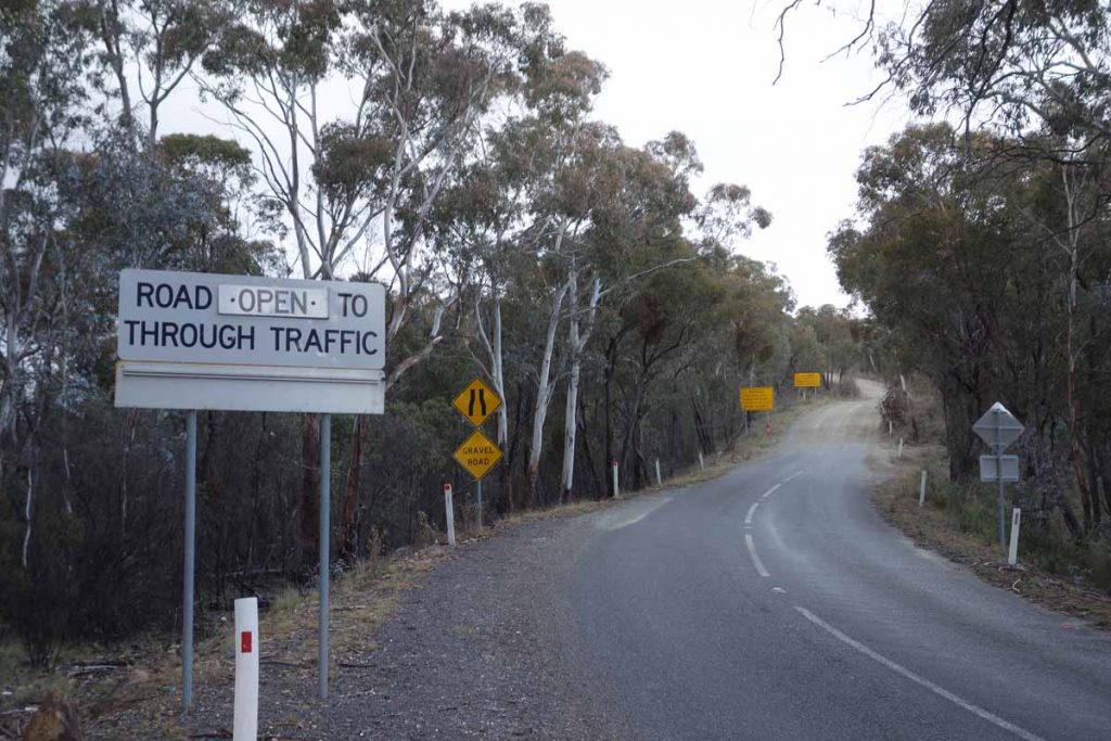
End of the bitumen road. The dirt road from here on is usually in good condition. Check that this road is open with the Namadgi National Park visitor centre if doing the walk in winter time as there may be heavy snow on the road
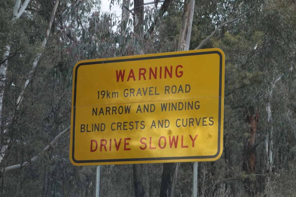
Road warning sign. You’ve been warned!
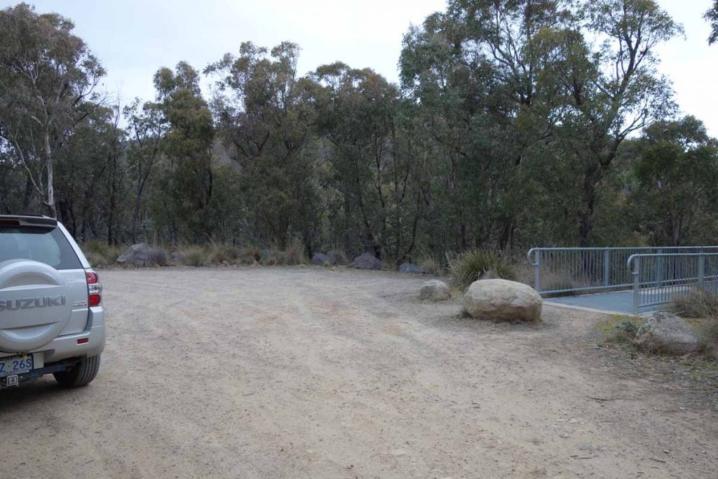
Hospital Hill lookout car park
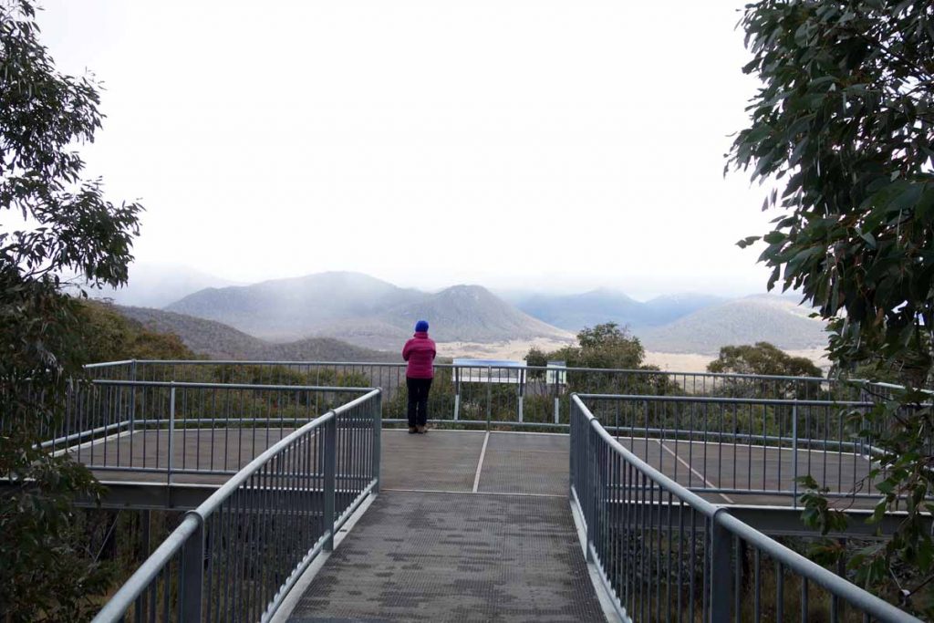
Hospital Hill lookout. Stopping here is worth the trip itself
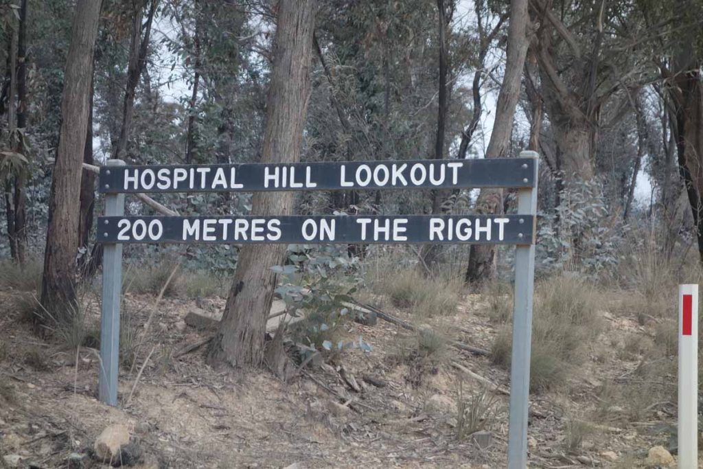
Hospital Hill lookout signage
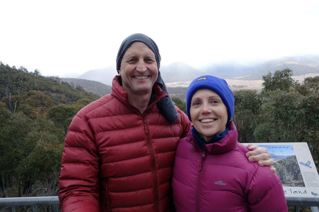
Tim and Gill at Hospital Hill lookout. The views from here are well worth the stop; and yes it was cold
Turn off Boboyan Road to Old Boboyan Road. The trail head is about 700 metres down the road
Things to Know
- Phone: There is intermittent mobile phone coverage on this trail (Telstra)
- Water: Bring your own water or else bring a water filter and use one of the cr
- Toilets: There are toilets located a t Glendale Picnic area. Yankee Hat Car Park and at Mount Clear campground
- Trail: This trail is on management road, open grassland and formed trail
- Dogs: Dogs are NOT allowed
- Camping: No camping is allowed on this trail
- Other:
- Keep an eye on the road once you reach the unsealed section as there is a lot of 4WD traffic and blind corners
- There is intermittent mobile phone coverage on this trail
- The road may be closed due to snow so if its winter it would be worthwhile calling the Namadagi Visitor Centre. The park service will also put a warning sign up just past the Tharwa Bridge advising the road condition
Disclaimer
This walk was undertaken by the team from Australian Hiker