Gudgenby Bush Regeneration Track ACT (5.6 km)
ACT
Closest Town
Tharwa, ACT
Starting Location
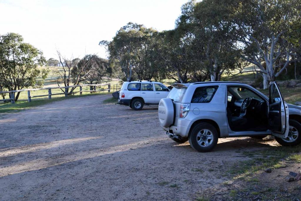
Yankee Hat trailhead car park
Finish Location
Yankee Hat trailhead car park
Best time of the year to travel
Late winter when its foggy or in the spring with the wild flowers. Skip the summertime
Gudgenby Bush Regeneration Track Review
The Gudgenby Bush Regeneration walk starts at the same car park as the Yankee Hat Rock Art Trail. For many years (late 1800’s-early 1960’s) this area was a rural lease which is where much of the clearing took place and in 1966 the land was converted to a pine forest. With the declaration of the Namadagi National Park in 1984 the long term goal was the generation of this area back to natural bush. The removal of the pine forest was finalised in 2005 and the land was regenerated.
For those of you familiar with this end of the park the walk just feels different and it will take a number of years yet before it fully blends in to the adjacent wilderness area. In part this is the charm of this walk in that you can see what the wilderness areas should look like and the work that is being done to restore this site.
The first 2 km of this trail is a road walk and while not my favourite type of hiking I appreciated the wallabies present along the sides of the road which overall outnumbered the kangaroos that usually dominate the more open grasslands.
At the 2 km mark the trail leaves the management road and travels through bushland. It is at this stage that you need to pay attention. While the trail is well signposted with markers the bush section of this trail is the most unloved trail that I have done in the past 13 months with many fallen trees across the trail and the trail itself is not well worn so you need to keep an eye out for the trail markers. The trail eventually links back up the the management trail before looping back around to the start. The walk itself doesn’t have any great increases in altitude with the highest to lowest point being 106 metres apart and any altitude gain is gradual across the trail.
While it is good to see the work being done on this area, this trail doesn’t have the wilderness feel tat I expect from Namadgi so while I enjoyed the trail it didn’t ‘excite’ me like many other trails in Namadgi. Having said that I was amazed at the amount of photos I took of wildflowers on this walk which means its best in Winter with a morning fog to create a bit of atmosphere or in Spring with plenty of wildflowers and wallabies around.
While this trail will never make my top 10 walking treks, overall it’s a good walk and one I’m glad I experienced.
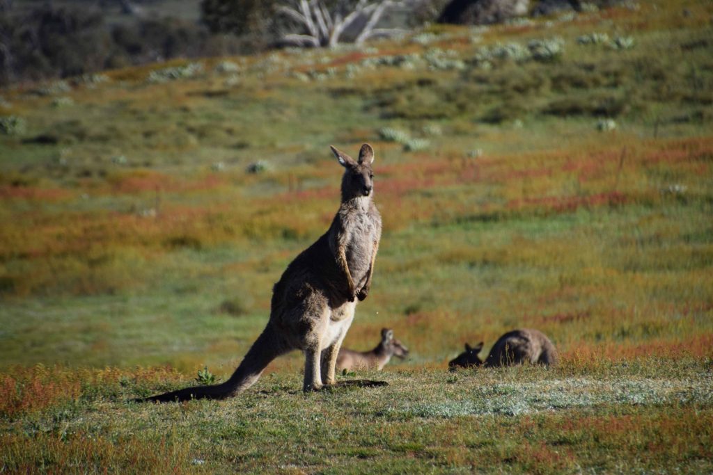
Kangaroos are usually present near the start of the trail looking out of the large grassy plains/swamp
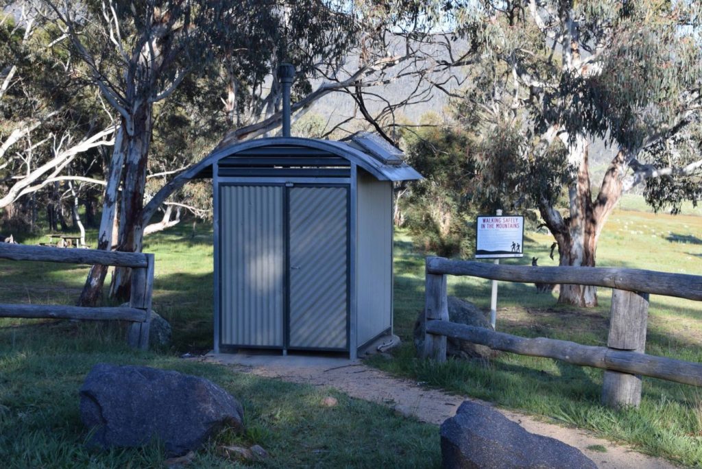
Toilet located at the trailhead
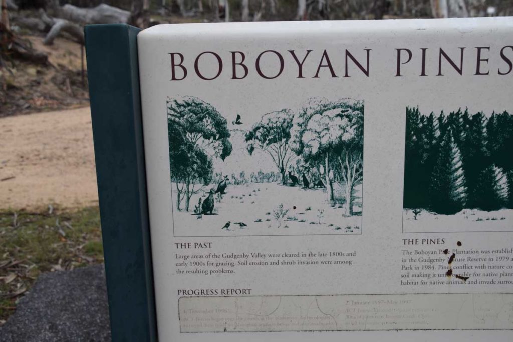
Interpretation signage at the walk start
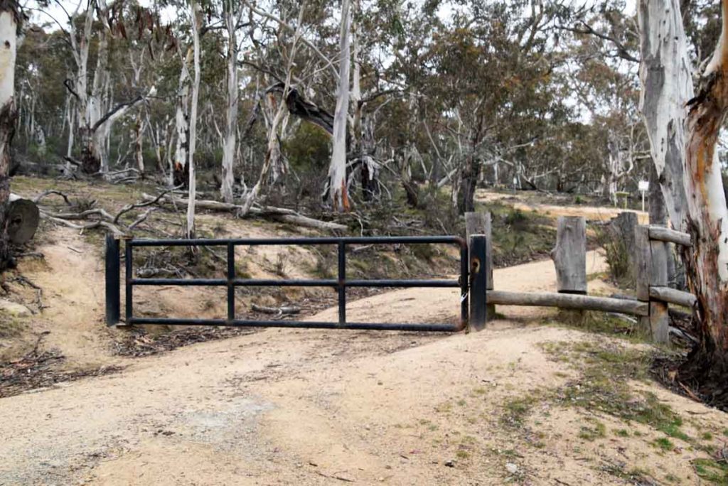
Walk start which is about 20 metres up hill from the main car park
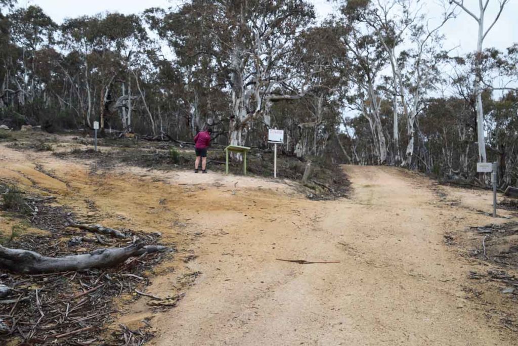
Trail register. You can travel either direction but keeping to your right is your best option
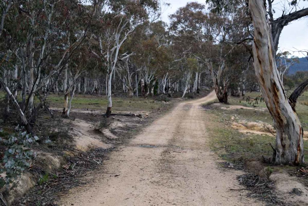
First 2 km of walking
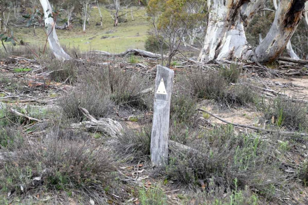
Trail markers are common
Turn sign. If you look towards the upper centre right you will just make out a trail marker. In this section they are hard to spot
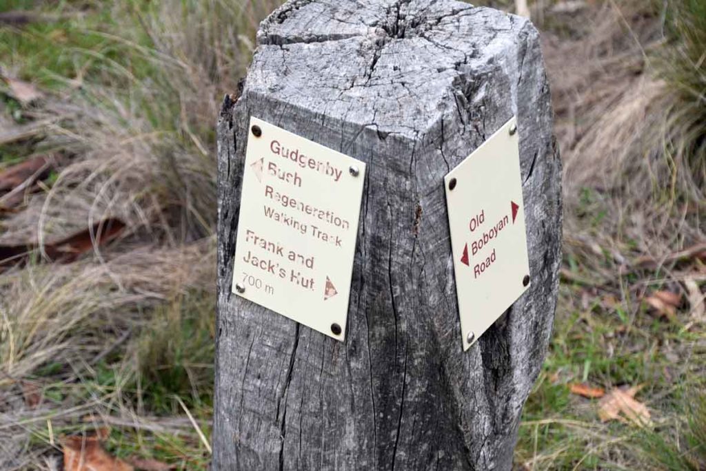
Trail direction at the 2 km mark
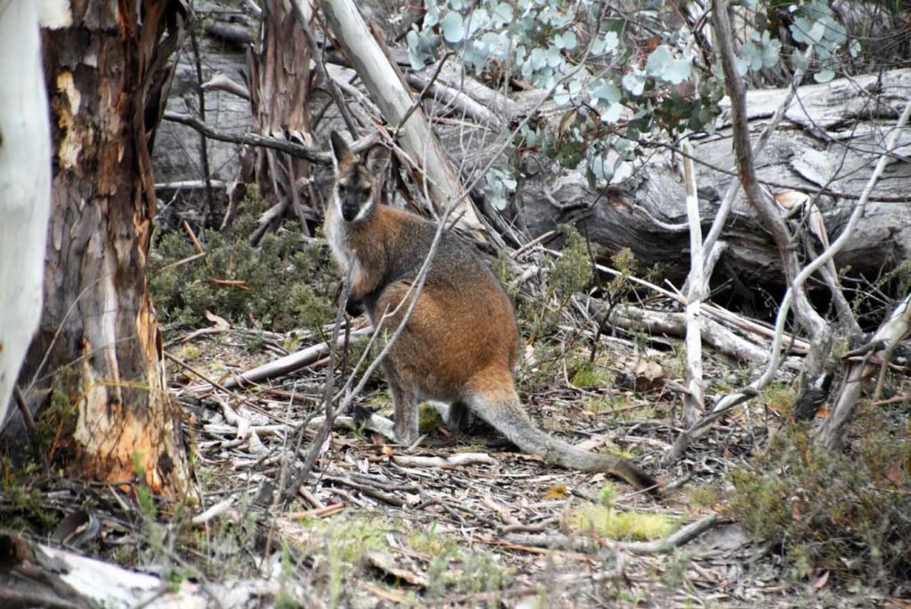
Lots of wallabies on this trail
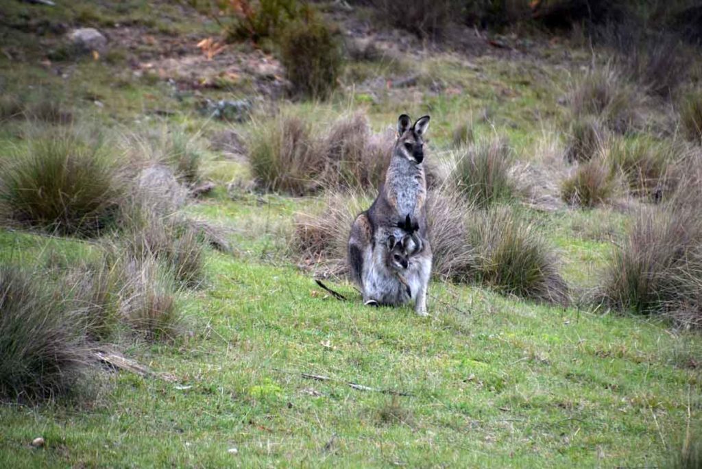
Mum and bub
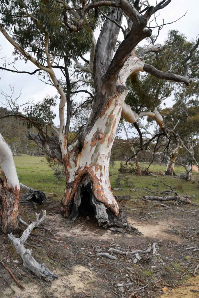
While the remnant trees are few and far between they are pretty impressive
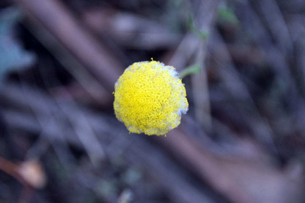
Yellow wildflower
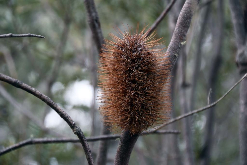
Dried Banksia seed head
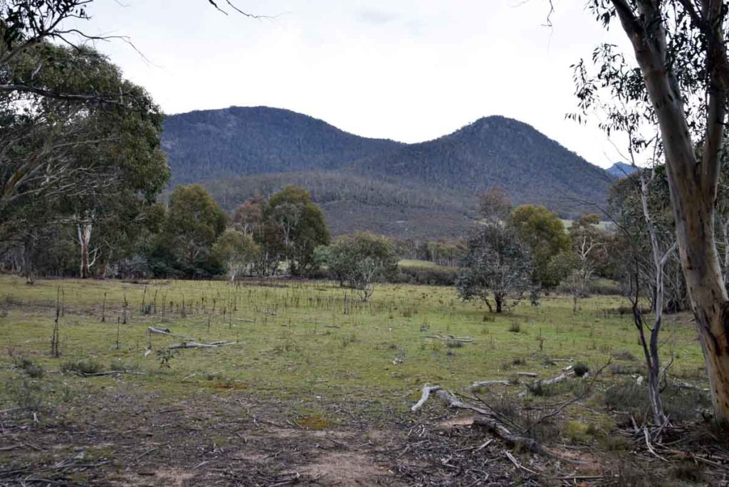
View towards the adjacent hills
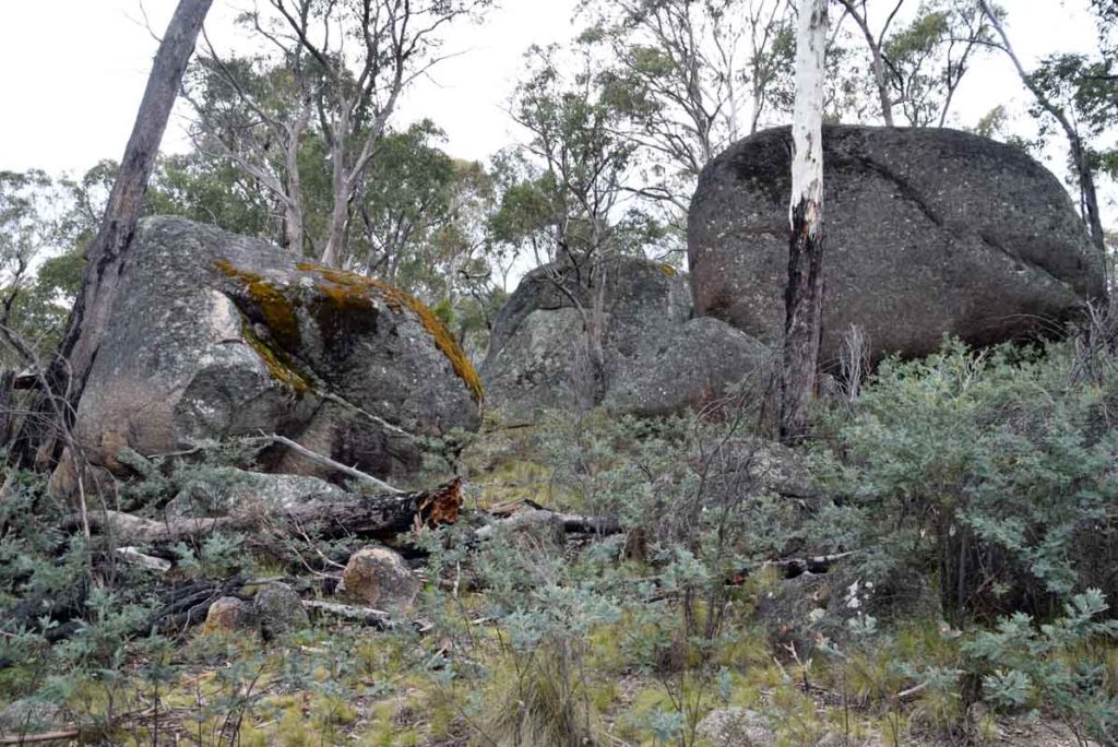
Granite Tors on the trail
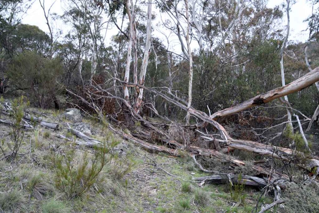
Blocked path. This trail was poorly maintained when we walked it
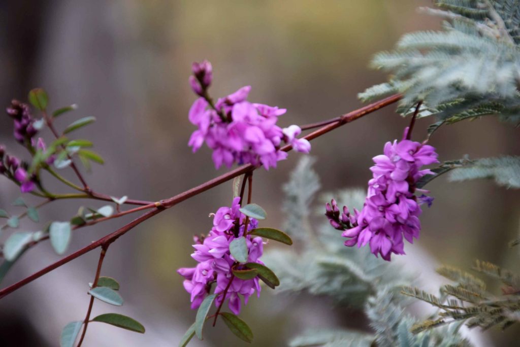
Indigofera in flower
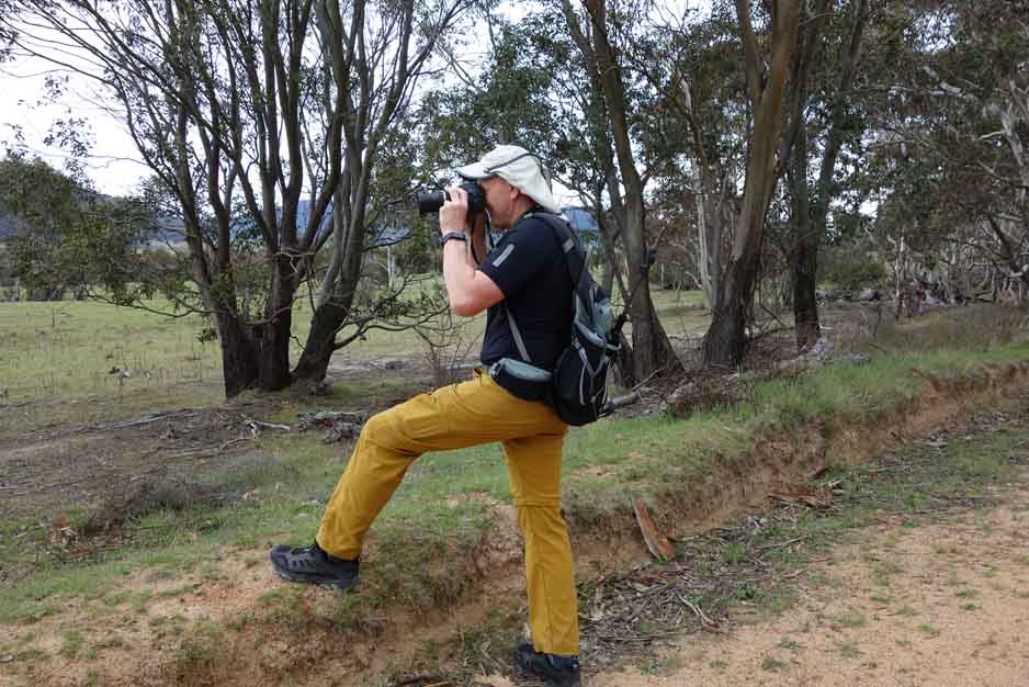
Tim taking photo
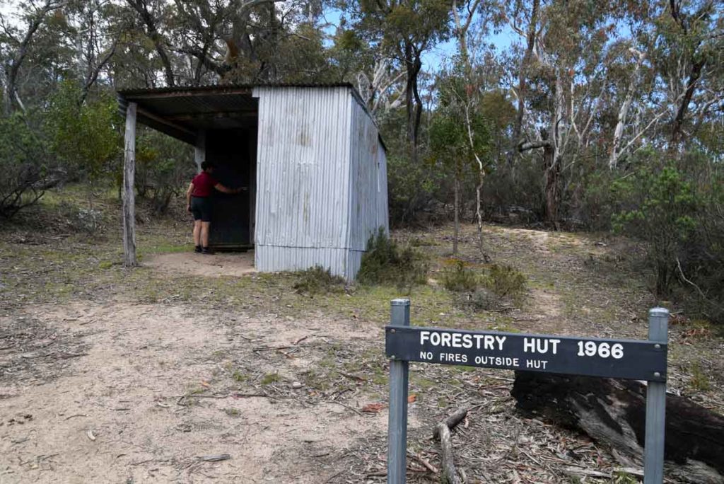
Forestry hut
Getting There
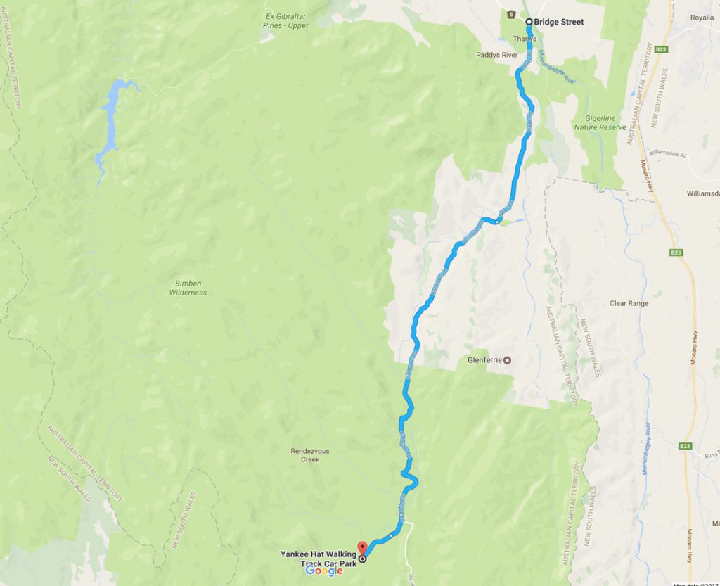
Map from Google maps showing directions to the Yankee Hat carpark from the Tharwa Bridge
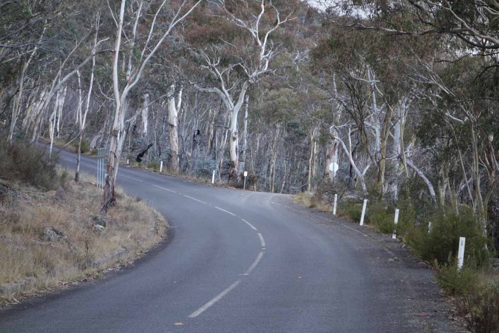
This site is approximately 1 hours driving from the centre of Canberra. Head south along the Tuggeranong Parkway, past the Lanyon Homestead and though the village of Tharwa. The site itself is in the Namadgi National Park towards the end of Old Boboyan Road with the last section of the road being being unsealed. Access to this site is relatively easy however be aware that after heavy rains you will need a 4WD for access
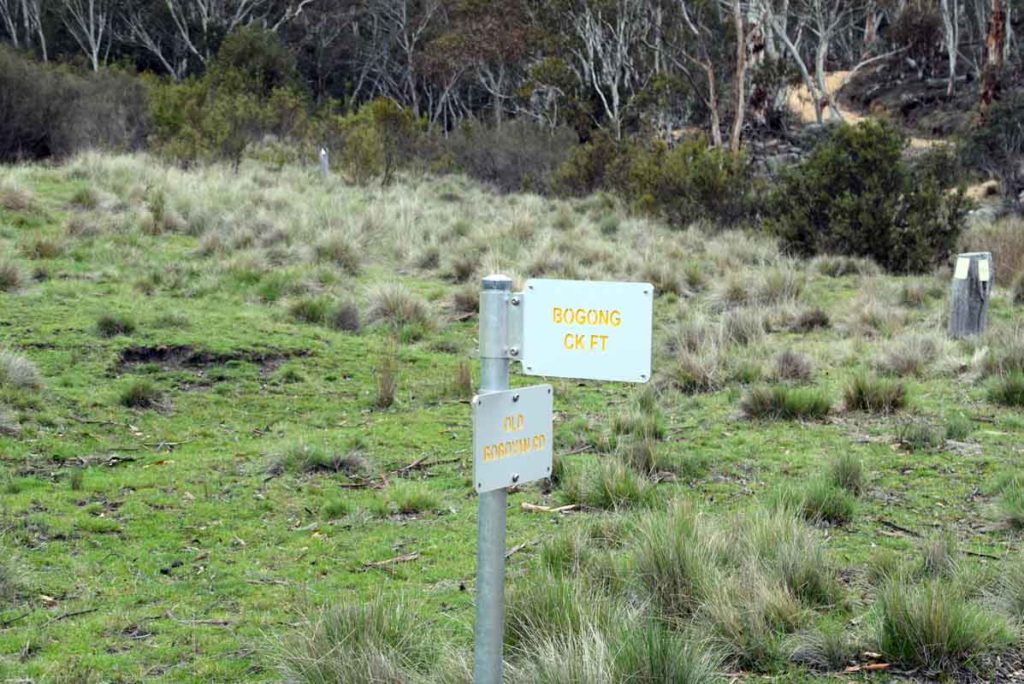
Signage at the turnoff to Yankee Hat car park. From this point on the road is unsealed
Things to know
- There is no phone signal in this area
- Keep an eye out on this trail after heavy rains as sometimes the road can be closed
- Make sure your car has good ground clearance
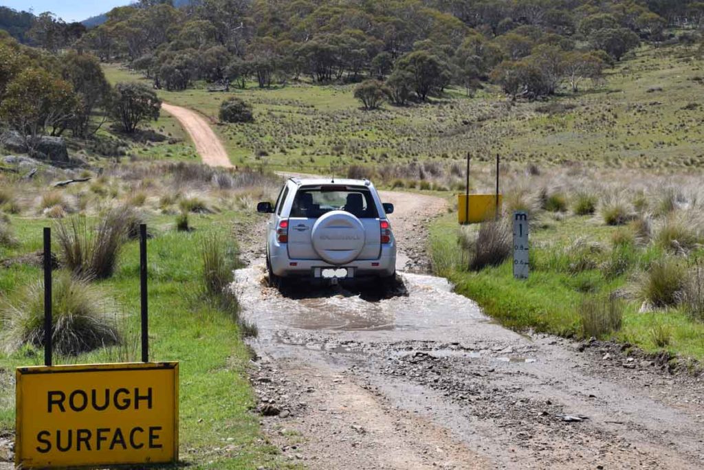
Water crossing on the way to and from the trailhead
Disclaimer
This walk was undertaken by the team from Australian Hiker