Mount Aggie ACT (2.3km)
Bimberi Nature Reserve
Nearest Town
The carpark for this walk is just off Mt Franklin Road and is 67km from the Canberra GPO with a large section of dirt road included
Best Time of the Year to Travel
October-March.
- Please note that in periods of extreme fire danger or heavy snow that the access road to Mount Aggie may be closed. Pay attention to the road condition signs as you travel which will let you know if the roads are open. If the Mt Franklin access says closed then Mt Aggie is likley to be inaccessable as well
Starting Location
Trail head carpark just off Mt Franklin road on the right hand side of the road
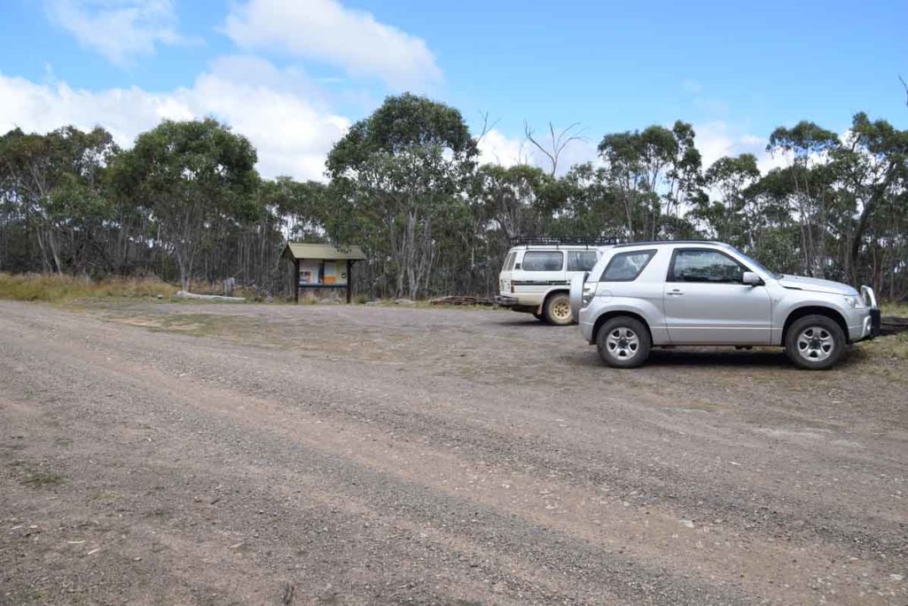
The trail head is on the right hand side of Mt Franklin Road and is obvious from the road so you won’t miss it with the large trail head sign
Finish Location
Trail head carpark just off Mt Franklin road
Mt Aggie Walk Review
If you feel like going a bit more remote then head towards the northwestern border of the ACT. Travelling on roads that quickly become dirt and are really only passable in the warmer months. This road provides access to four main walks. The Mt Gingera, Mt Franklin, Mt Aggie and the Bendora Arboretum walks.
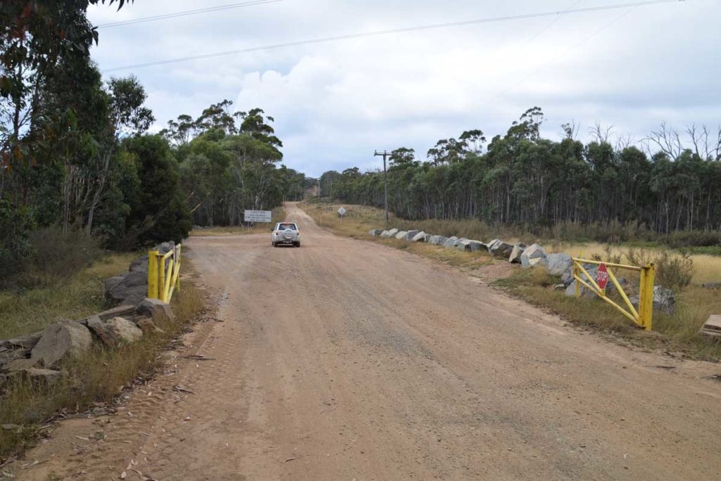
Pay close attention as you pass the road condition sign to ensure that this road is open as it can be closed in periods of extreme fire danger as well as heavy snow. The signage on this road is good so you will have no problem finding this road so long as you pay attention. Once you turn off onto the Mount Franklin road you very quickly enter the Bimberi Wilderness and as you travel along the road there are a number of heavy gates that may be locked in bad conditions.
The Mount Aggie walk is the second of the walks along this road and is 8.9km past the trail head for the Bendora Arboretum walk on the right hand side of the road. The Mount Aggie walk is one of three a hill walks in this area and is the shortest and easiest of the three.
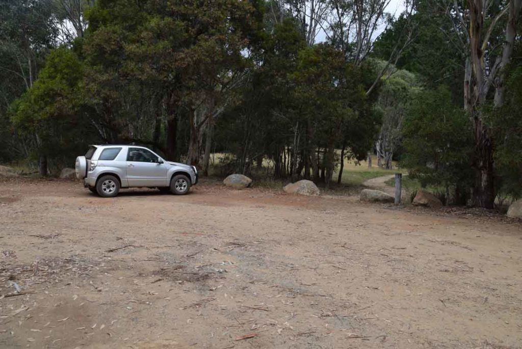
Pull of the Mount Franklin road into the small parking area on the right hand side. The trail head is easy to spot due to the dark timber trail head ‘hut’. After you have read the trail signage the walk starts on the opposite end of the car park and is identified by a NSW parks post. The trail head appears to be in NSW while the Mountain is in identified as being in the ACT.
The trail itself is a formed natural trail that winds itself up the hill. You will come to a lower cliff area that provides great views in to NSW but I’d suggest stopping here on the way back down. Continue up the hill and head to the highest point for views into bits of NSW and the ACT. Just of the summit of the hill is some basic interpretive signage.
The day we did this walk it was pretty windy so we didn’t spend to much time on the summit and after we had a good look round we then headed back down the trail to stop in at the lower lookout point which had a bit more wind protection.
Given that we did this walk in summertime there wasn’t a lot of wildflowers out but if you looked close there was plenty to see in both insect life and smaller plants to keep us amused.
The most difficult part of this walk is the drive and as this walk is short enough that it could be combined with with one of the other shorter walks close by or if you want to make a long day look at doing all three of the sub 4km walks (Bendora Arboretum, Mt Aggie, and Mt Franklin. To get the best out of this and the other walks in this area choose a sunny clear day.
Please note that you need to bring your own water on this trail.
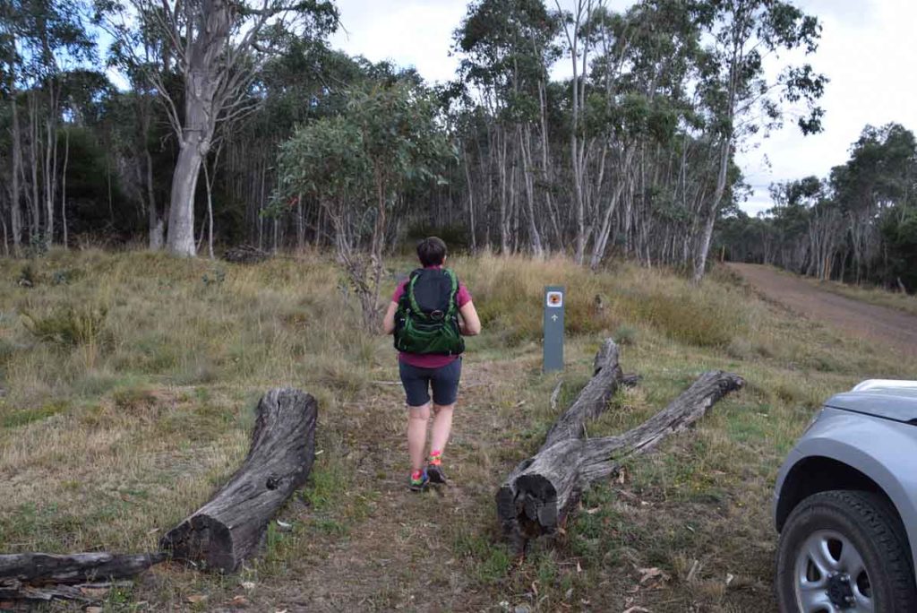
The walk to Mt Aggie starts in the right hand corner of the car park. Look for the NSW Parks green marker post. the road in the right side of this image is the direction that you hav come from to get to this walk
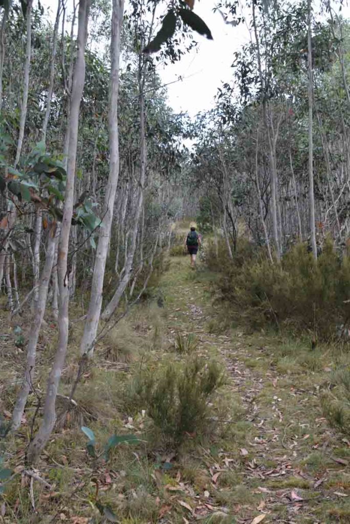
This trail is natural surface and is easy to follow
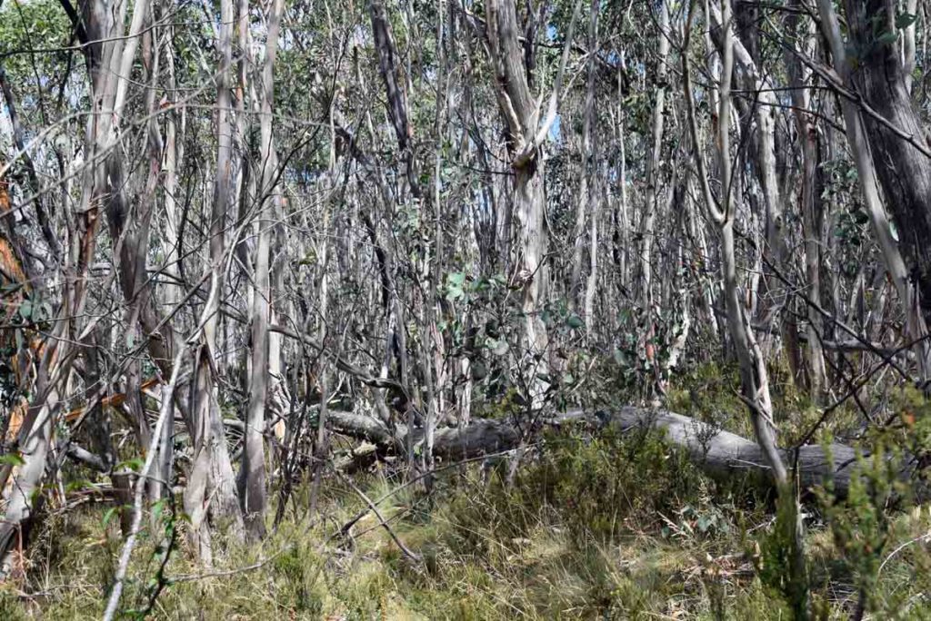
Dense tree growth on the sides of the path which is pretty typical of this area
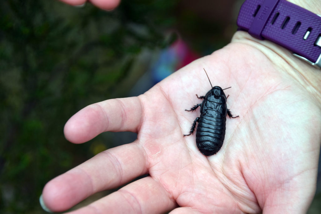
Bush Cockroach. Keep an eye out for the small things
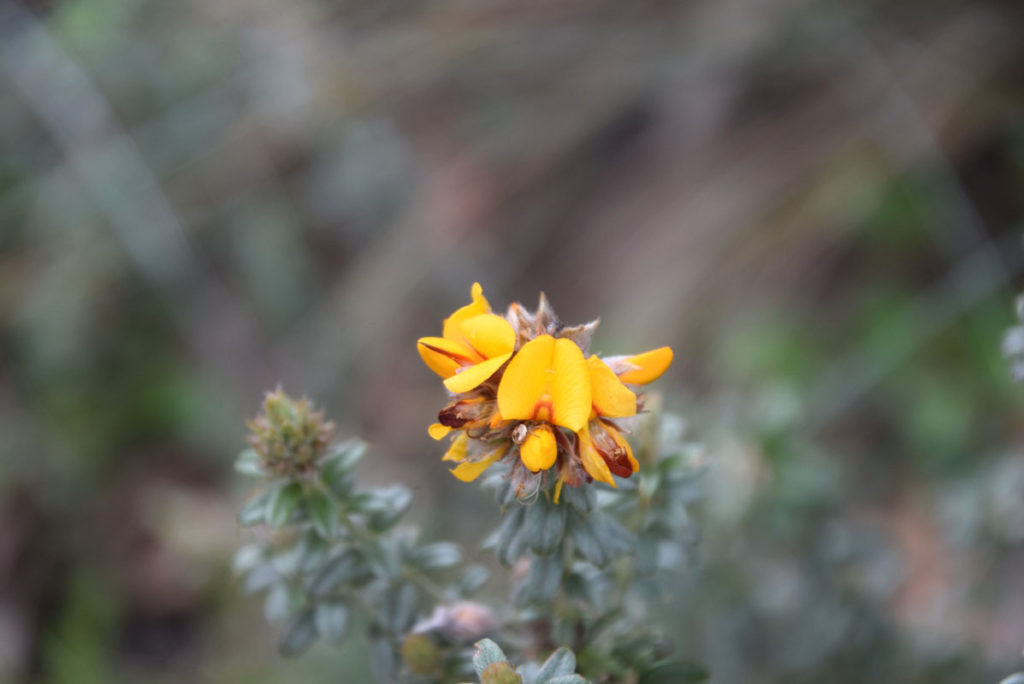
Native Pea flower
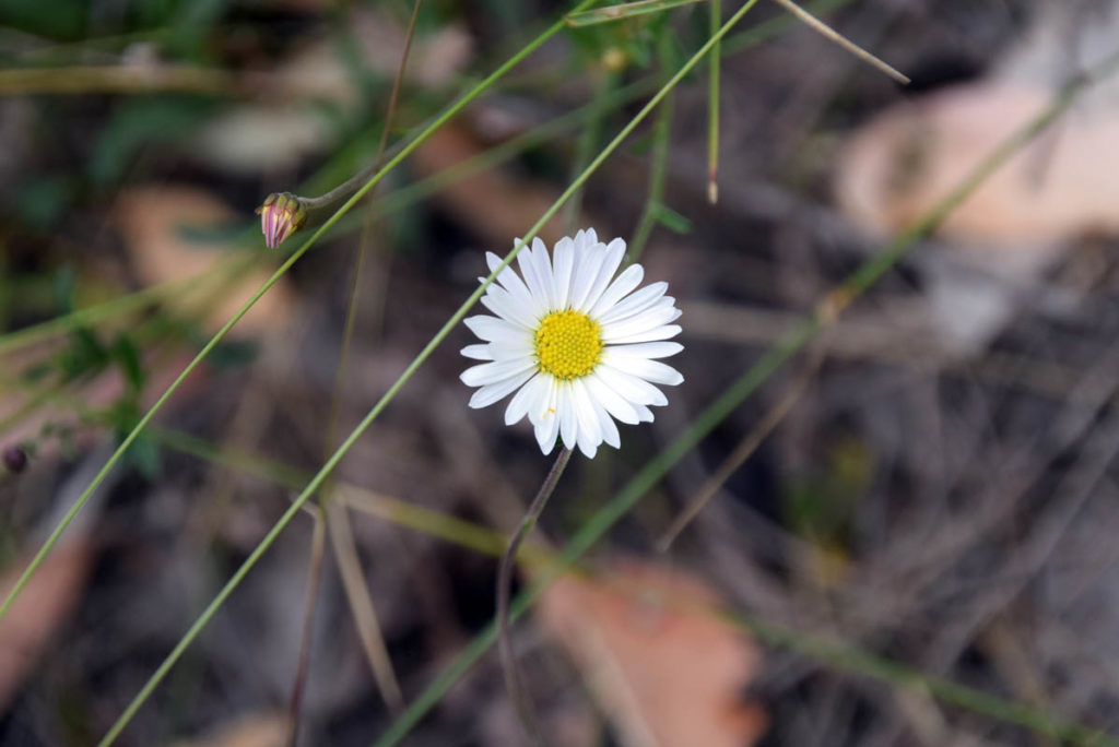
Native Daisy
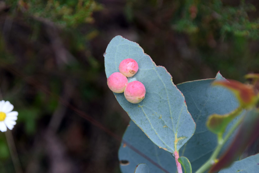
Insect galls on eucalyptus leaves. Love the colour contrast
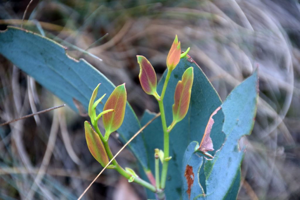
Fresh new coloured leaves on a small Eucalyptus plant
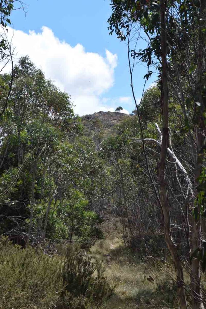
Summit coming into view
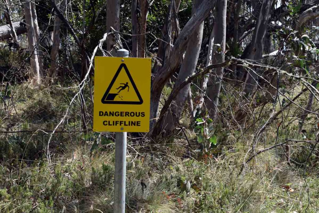
Cliff warning sign below the main summit as well as on the summit. Keep an eye on the kids
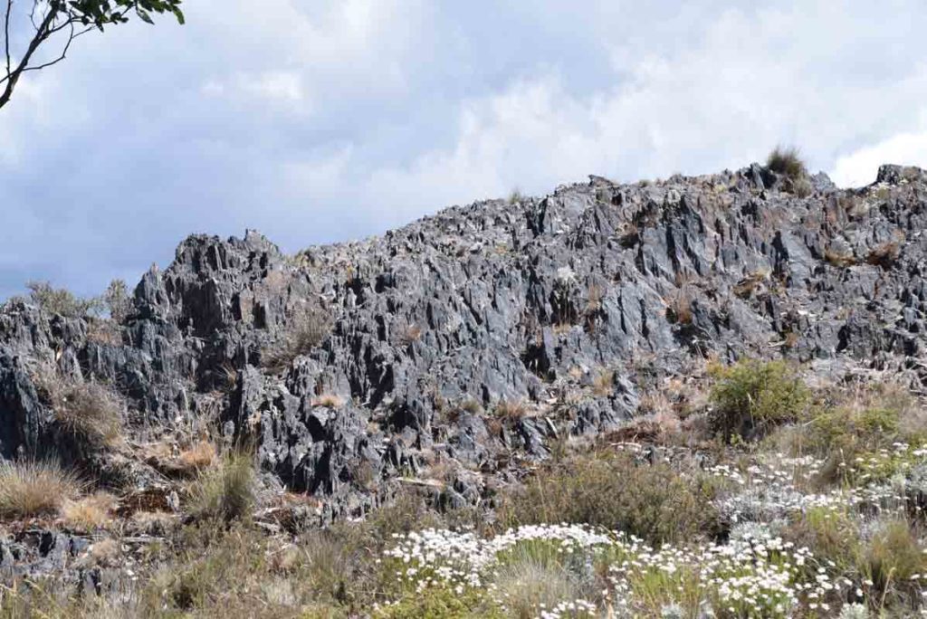
Approaching the main summit of Mt Aggie
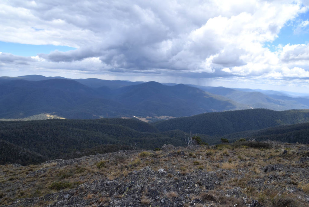
Summit of Mt Aggie
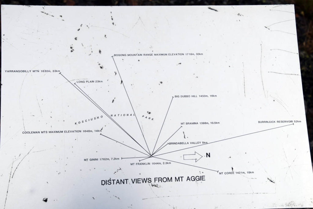
Once you reach the main summit this sign is just down the hill a little way and identifies the neighbouring mountains
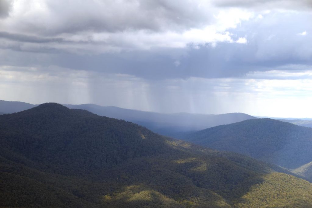
Rainstorm moving in, it skirted around us luckily
Getting There
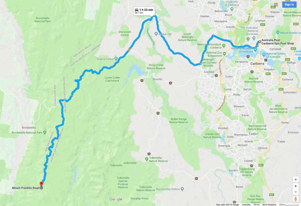
The Mount Aggie Google map showing the distance from the Canberra GPO to the trail head car park on Mt Franklin Road (approximately 67km) :
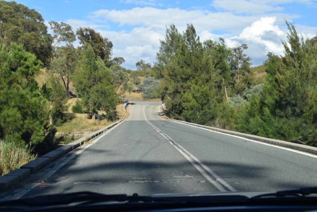
- Head to the Weston Creek area in southwest Canberra and take the road to Uriarra Crossing. Once you cross Uriarra Crossing turn left and head towards Mt Franklin Road. The road changes from bitumen to dirt and from the end of the bitumen you have 24.4km to travel to the Mount Aggie trail head.
- You will pass a road condition sign that will show which areas are opened and closed. The road will be closed in periods of high fire danger as well as in winter during periods of heavy snow. To do this walk make sure that Mt Franklin is OPEN
- Turn left at Picadilly Circus onto Mt Franklin Road
- The first stop is the Bulls Head Picnic Area which has a good place for lunch or a break as well as toilet facilities
- From the Bulls Head Picnic Area head down the road until you reach the bender Arboretum on the left hand side of the road
- The dirt road at this point is narrow so keep an eye on your speed and for vehicles coming the other way. Note the 2.4m tall orange road marker posts. This shows you what the snow can be like in winter
- The whole trip from the Canberra GPO to the trail head is just on 67km.
Urriarra crossing. Turn left if coming from Weston Creek just after you go over the crossing
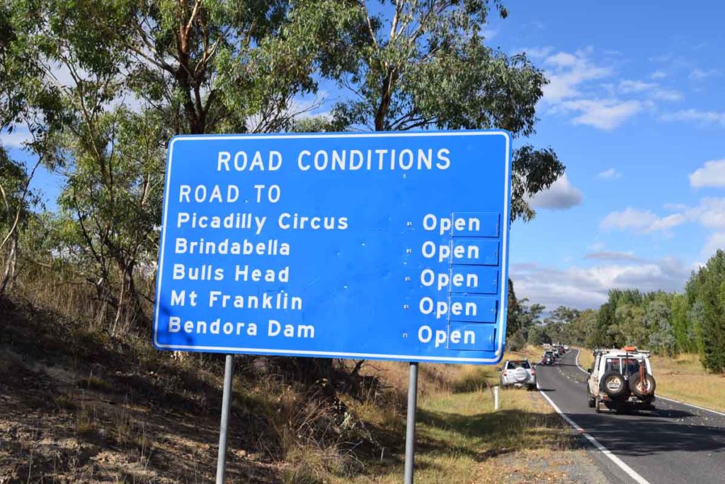
Road conditions sign. If doing this walk make sure that the Mount Franklin Road is open
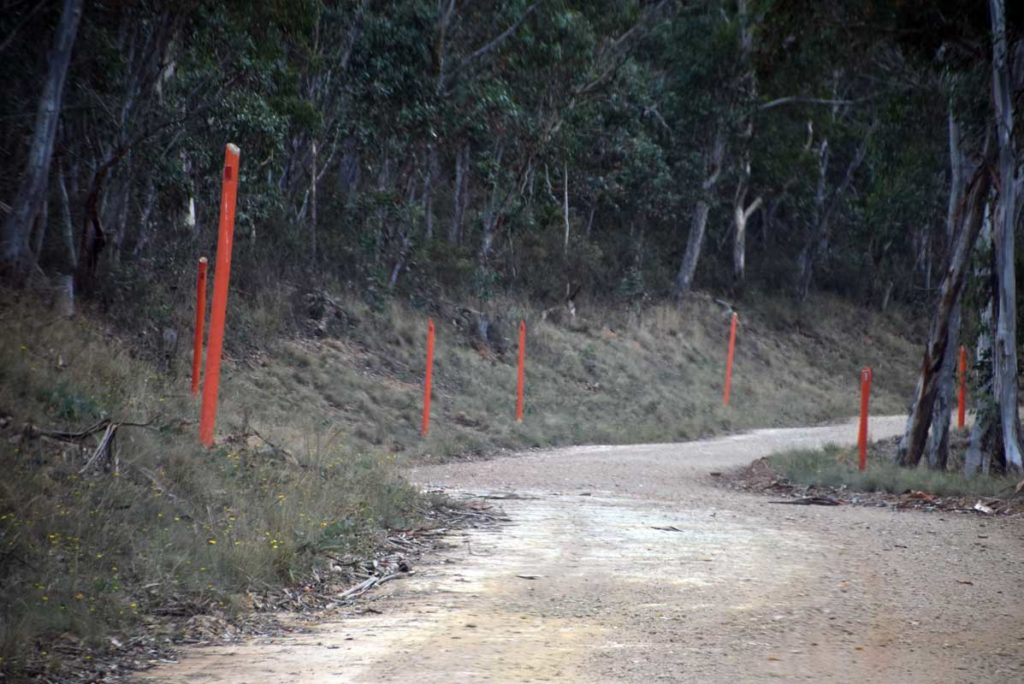
Note the 2.4meter tall road markers. This gives you an idea of the possible snow conditions in winter time
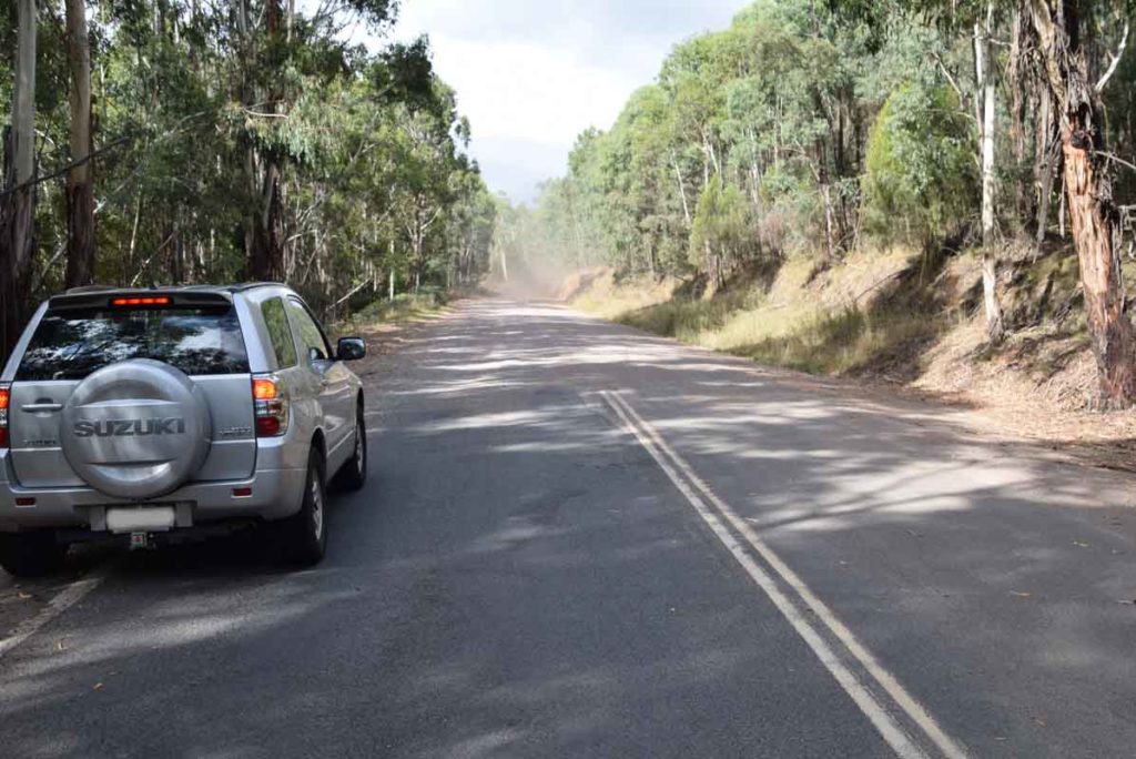
Bitumen road changing to dirt. From here the Bendora Arboretum is 16.5km
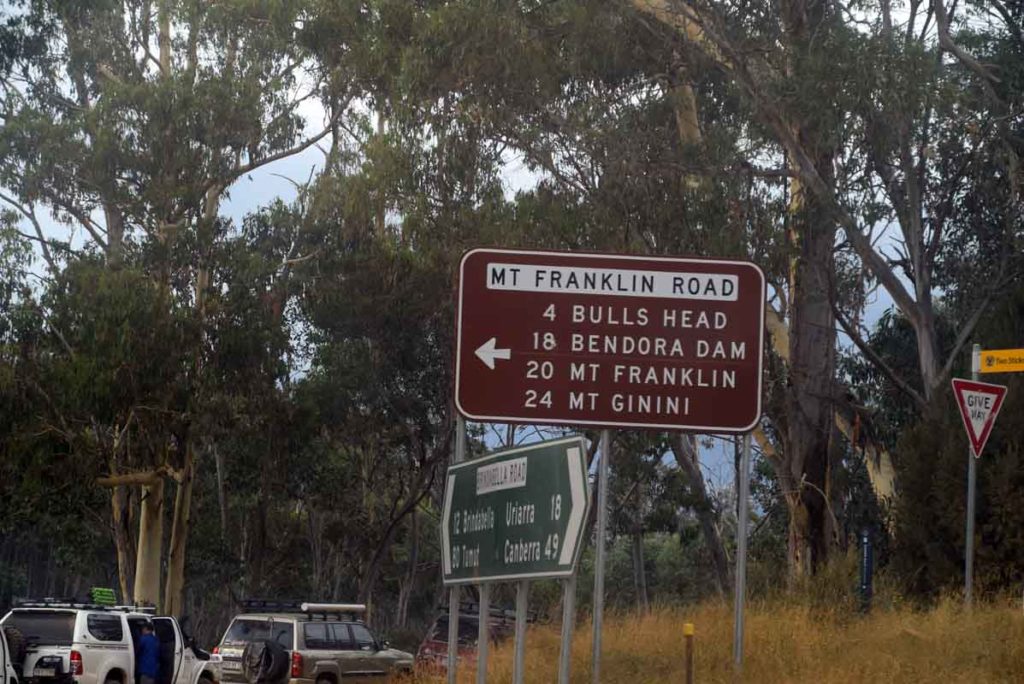
Follow the turnoff sign and head along Mt Franklin Road
Mt Franklin Road
Car Park at Bulls Head
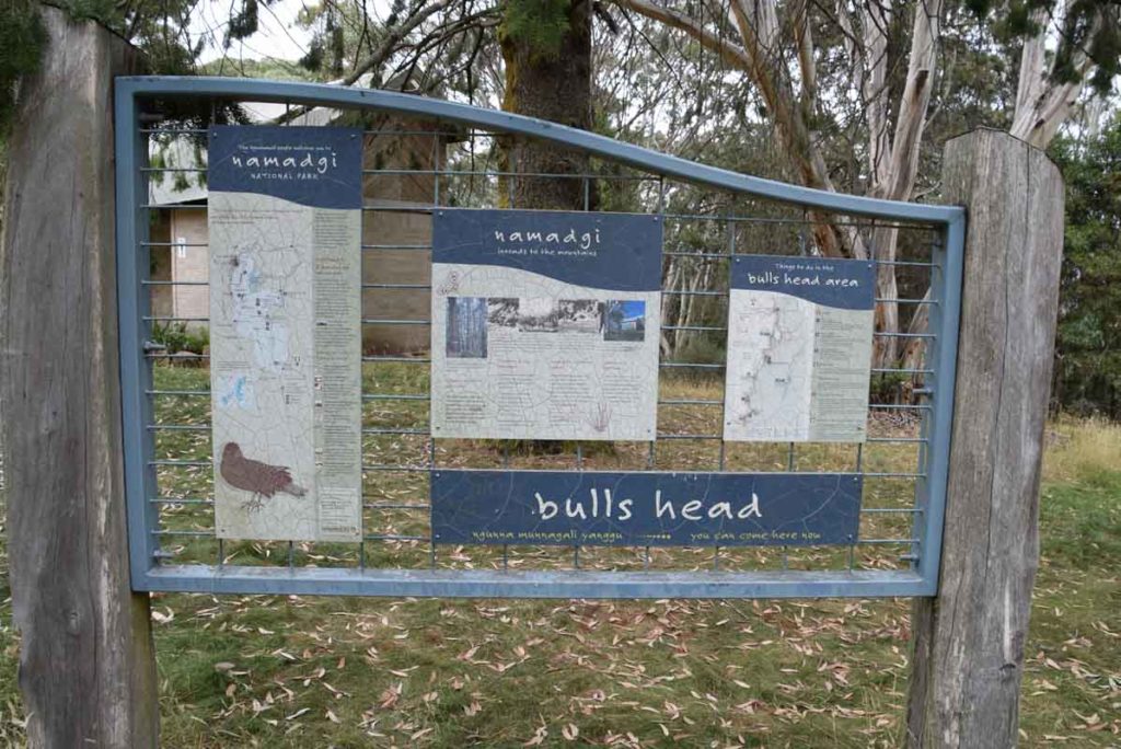
Information signage at bulls head picnic area
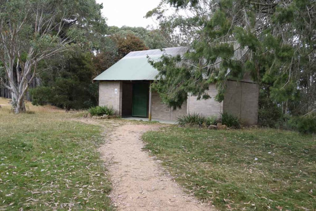
Toilets at Bulls Head picnic ground
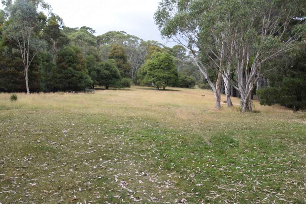
Bulls Head Picnic area
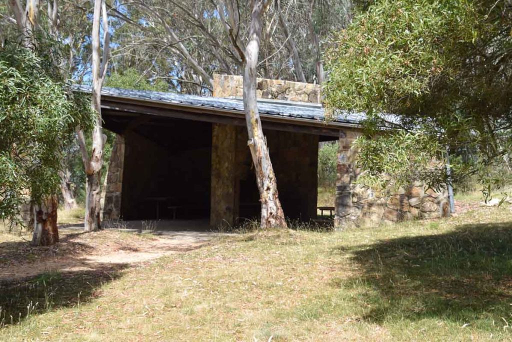
Weatherproof shelter at Bulls Head picnic area
Just after you leave the Bull Head Car park you will see the turnoff to the Bendora Dam. Keep following the signs and head towards Mt Franklin.
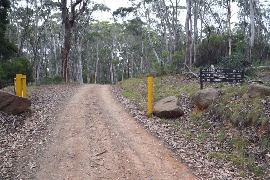
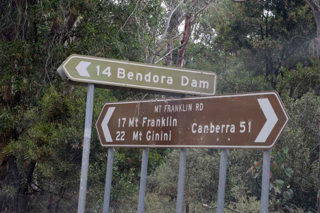
More signs and gates. There are a number of gates you will need to access. If the conditions are bad then the gates will be closed. When you see this sign you have approximately about 13km to go to reach the trail head to Mt Aggie
Things to Know
- Phone: There is no mobile phone coverage on this trail except at the summit (Telstra) and this is weak
- Water: You need to bring your own water
- Toilets: There is a toilet facility at the car park at the nearby Bulls Head picnic area
- Trail: This trail consists of formed track
- Dogs: No dogs allowed
- Other:
- Keep an eye on the road once you reach the unsealed section as there is can be a lot of 4WD traffic and blind corners
- This road can have snow on it from late march until early October so make sure you are driving a vehicle that can cope with the conditions if doing the walk during the cooler months
- The road to Mount Aggie is in reasonably good condition but it can be a bit slippery after heavy rains so keep this in mind if you are heading out there after it has been raining
- Please note: That the last section of this road is on dirt management road so best avoid travelling to this location on a low slung vehicle. The Mount Franklin road may be closed in winter due to snow
Disclaimer
This walk was undertaken by the team from Australian Hiker