Grassy Creek Trail ACT (20.1km)
Namadgi National park
Nearest Town
Tharwa is approximately 50 km from this trailhead. Please note that Adaminaby is about 40 km in the opposite direction
Starting Location

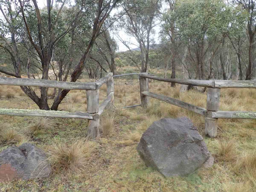
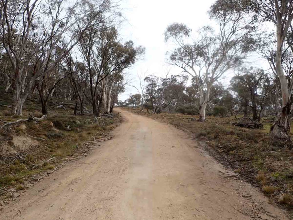
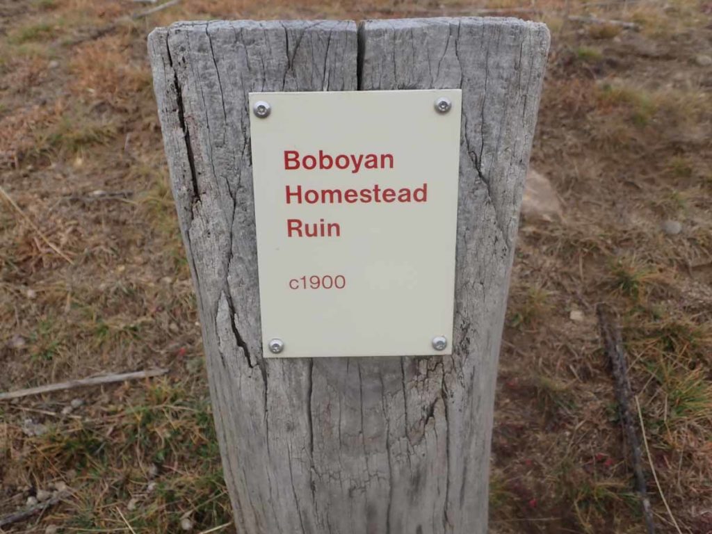
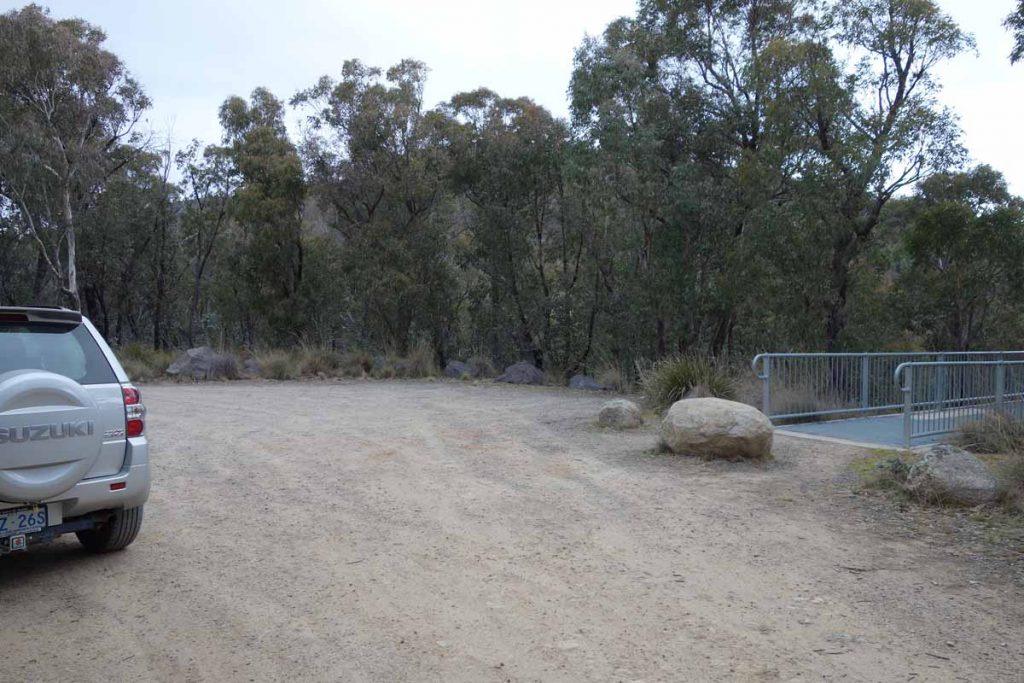
Old Boboyan Homestead car park (northern trailhead)
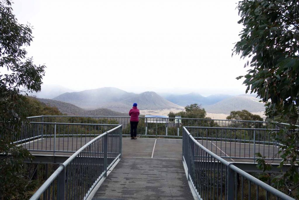
Finish Location

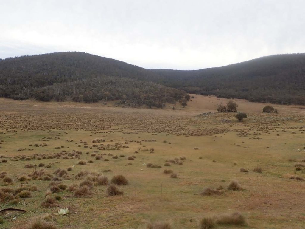
Southern trailhead car park on the Old Boboyan Road. The sign in the background is the ACT/NSW border
Grassy Creek Trail Review
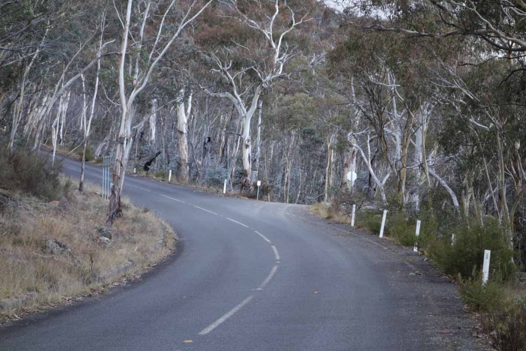
This is one of the longer designated walks located within the southern end of Namadgi National Park but also one that provides a variety of landscape types ranging from old rural, forest and swampland albeit a bit toasted due to the 2020 fires. At a smidge over 20 km this walk is one way and provided you have the fitness, can be completed in a single day.
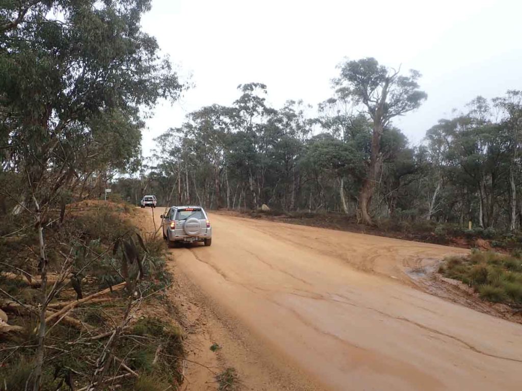
One thing to know about this end of the park is that you are bordering on the edge of the snowfield and in wintertime it is not unusual to have snow on the road and over much of the area that encompasses the walk. As such, the access road which is an option to get from Canberra through to Adaminaby can sometimes be closed if the snow is heavy. On the day we did this walk there had been heavy rain over the previous couple of weeks and the road condition was reasonably poor so its not for low slung vehicles.
This walk can be started either end of the track which will require some car shuffling and in our case, Gill dropped me off at the northern end then started her walk from the southern trailhead. While there are ascents and descents on this walk no matter which trailhead you start the walk, if you start at the northern trailhead you’ll have a slightly easier walk. Gill drew the short straw and did a lot of uphill walking from the southern trailhead was very obvious from the longish downhill stints towards the end of my hike.
The first 5 km of this walk is shared with two other walks, the Old Boboyan Homestead Walk and the Old Boboyan Road Walk that finishes at the Yankee Hat car park. Shortly after starting this walk at the northern trailhead there is a trail register about 300 metres in and even though you are doing this walk in a one way direction, make a note of it when you sign in. Just remember to sign out at the other end.
This walk is entirely on management trail and your first stop is at the Old Boboyan Homestead ruins about 2.5 km in so allow some time to wander around and explore. On this section of the road you will pass wallabies, kangaroos and rosellas that in my case have been in the same locations all three times I have been on this section of trail. From the Old Boboyan Homestead you continue on the road and your next decision point becomes the creek that you would cross if you were heading towards the Yankee Hat car park so make sure you stay on this side of the creek.
Now I must fess up here – against my gut feeling I took the wrong fork and by the time I realised what I had done and backtracked, I ended up adding 5 km to my walk. The positive that came from this mistake is that it has given me an idea for a walk that isn’t designated that we will be doing in the coming weeks. At the creek decision point you are actually heading almost straight ahead and within about 10 minutes you will come to a left turn that says 13.5 km to Old Boboyan Road – this is the turn you want to take.
Not long after you take this turn you will come across a swamp on the right hand side of the road. In 2020 there was very obvious evidence of the previous summer’s fires that had levelled the swamp which at the time of my walk, was only just starting to recover. At this stage of the walk you start to head progressively uphill and while the road is undulating, there is one decent hill that will take your breath away.
The trail continues to undulate on the second half of the walk and becomes much more heavily wooded even if it has been burnt in many areas. As you start making your way towards Boboyan Road you will connect with the Bicentennial National Trail, pass Westermans Hut and with a detour of only about 200 metres, you can drop in and visit this hut as well. There are also toilet facilities at Westermans Hut if you feel the need. Water on this trail is only available through natural flows and if you are planning on collecting water then bring a water filter.
The vegetation varies on this walk and includes old rural farmland, forest and swamp and like much of the southern end of Namadgi National Park has a feeling of remoteness. We came across a group of four cyclists on the day we did this walk – this track is one identified as a mountain biking track as well as being a walking track. Wildlife is pretty consistent and includes wallabies, kangaroos and good birdlife.
One thing to note is that while there are no serious water crossings you can expect to get wet feet in a couple of areas if there has been heavy rain so it’s probably worth bringing a small towel and some extra socks just to keep your feet dry.
This walk is on the longer side for most people but it’s well worth doing if you have the opportunity. Because of it’s location and altitude if you are doing this walk during winter, pay close attention to the weather forecast and come prepared for quick drops in temperature and storms.
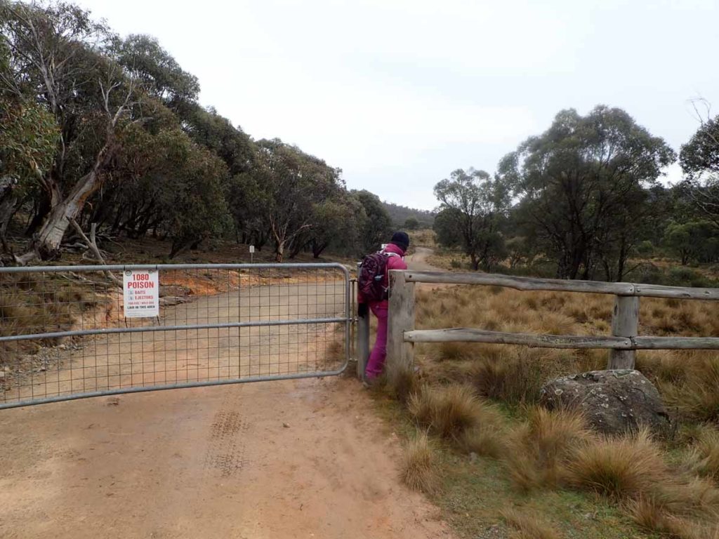
This access gate is stuck closed so access to the trail is through the gap at the main gate
Starting point from the northern trailhead
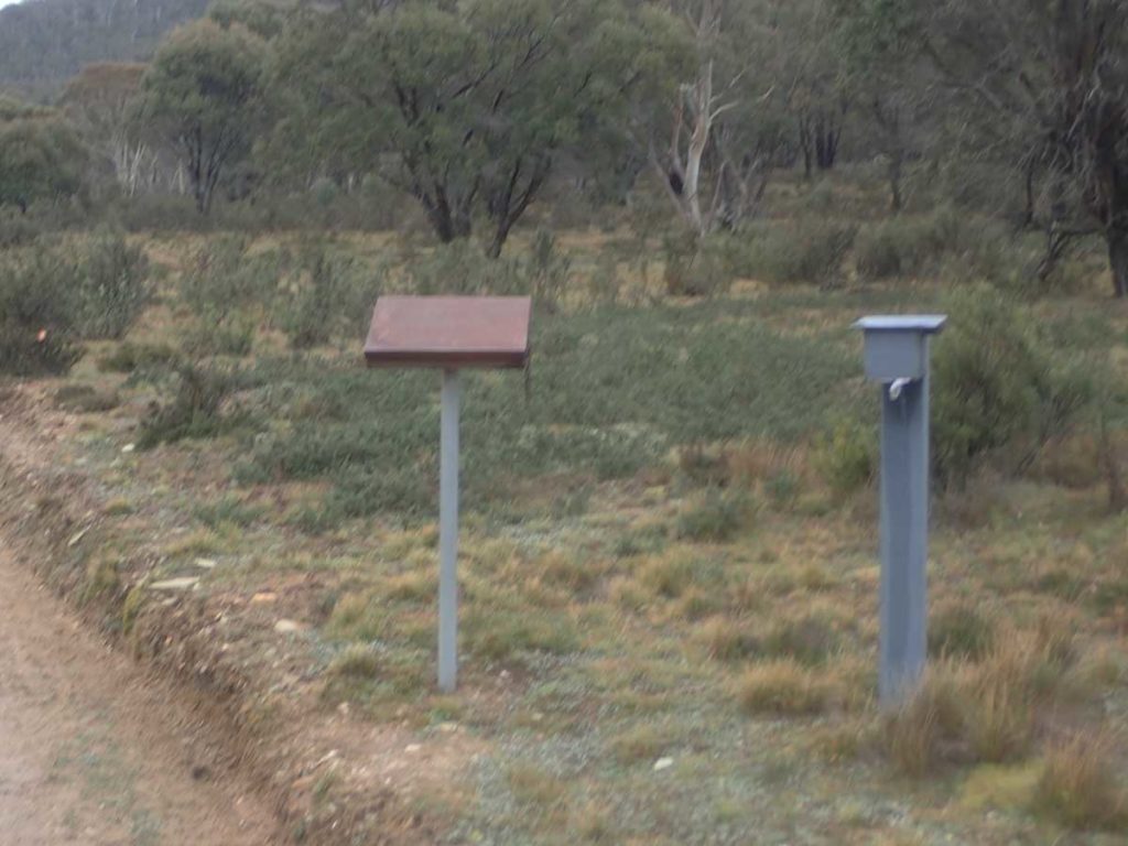
Trail register about 300 metres into the walk on the right hand side of the road. If doing this walk in one direction make sure you note that in the register

Leaflet box at the trail register
Big male wallaby on the side of the trail
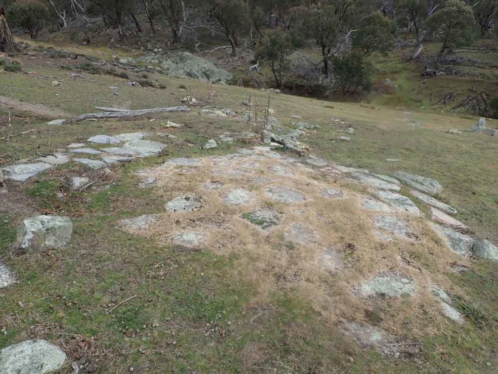
Trail example on the Old Boboyan Road which has now become a management road
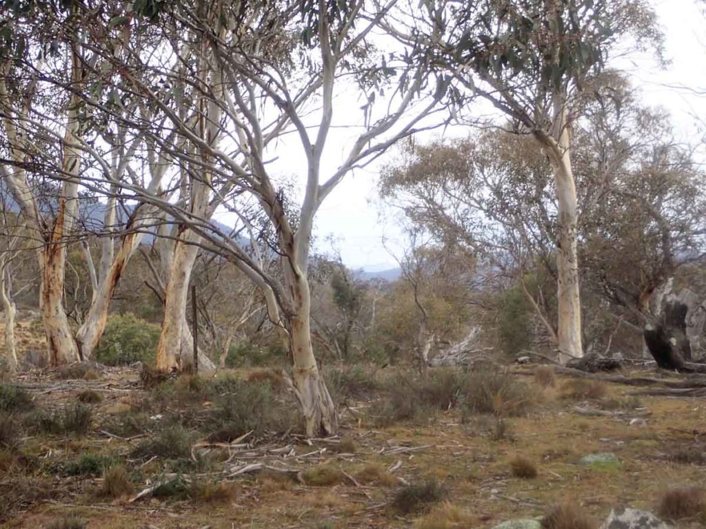
Forest on the side of the road
Usually at this end of the park the trees are too dense for kangaroos but with the old farmland in this area there were lots of kangaroos about

Rosellas in-flight on the side of the trail
Homestead visible in the distance
Marker sign

Old Boboyan Homestead ruins
View down into the valley from the homestead
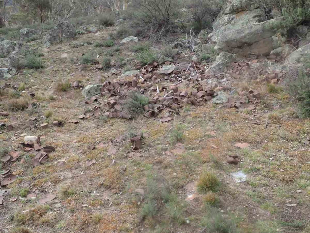
Old tin can dump
Old orchard
Old foundations – by the location this looks like the path to the out-house
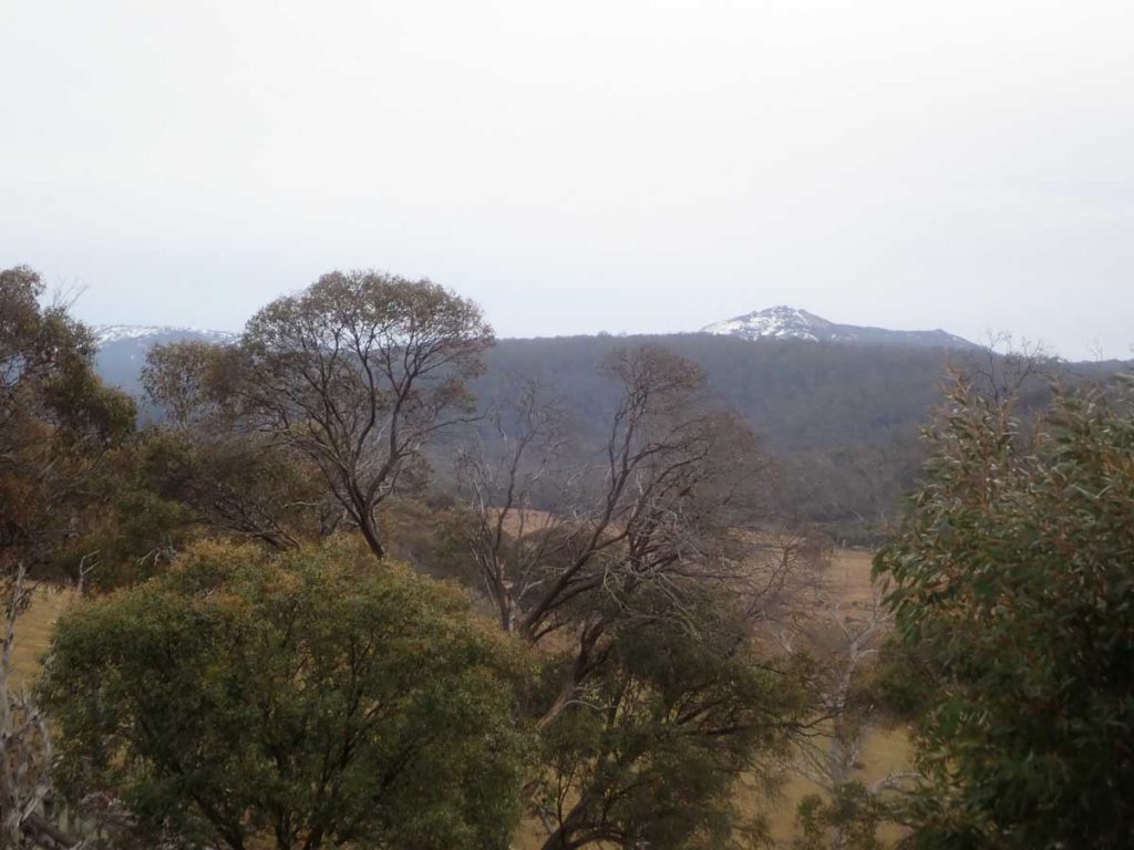
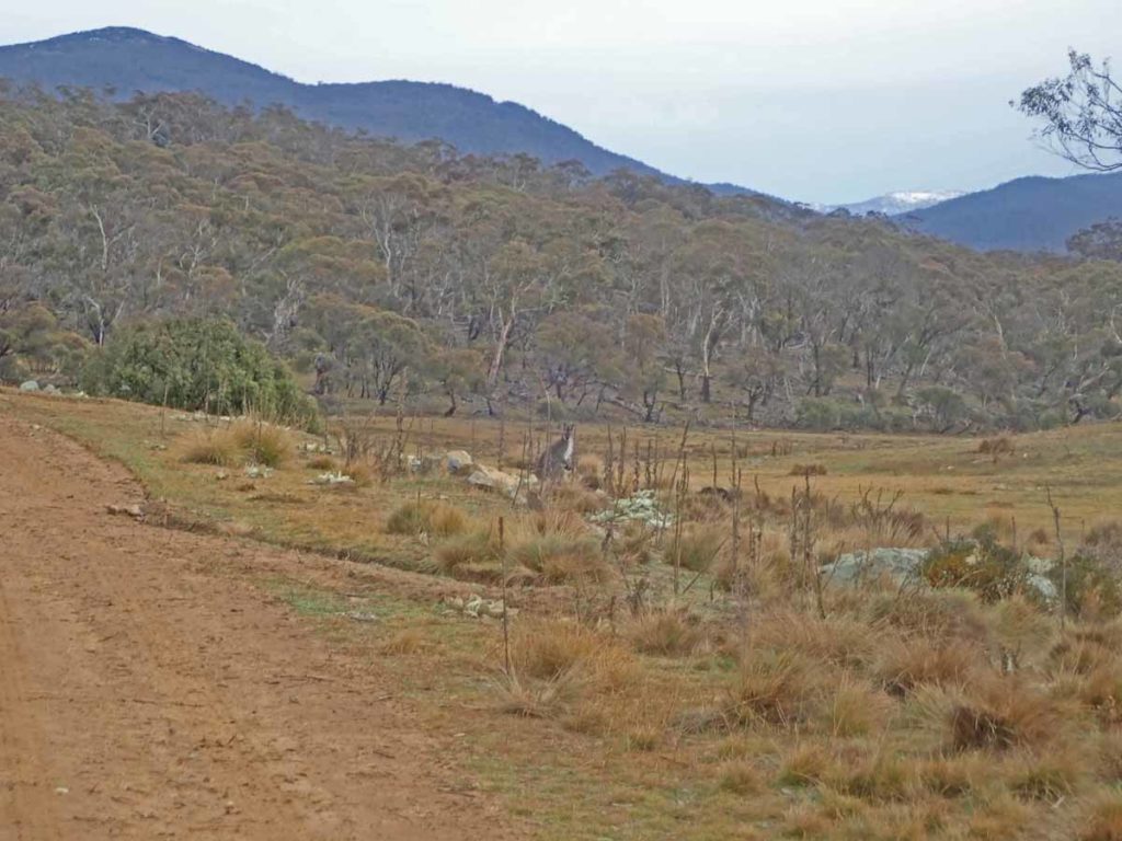
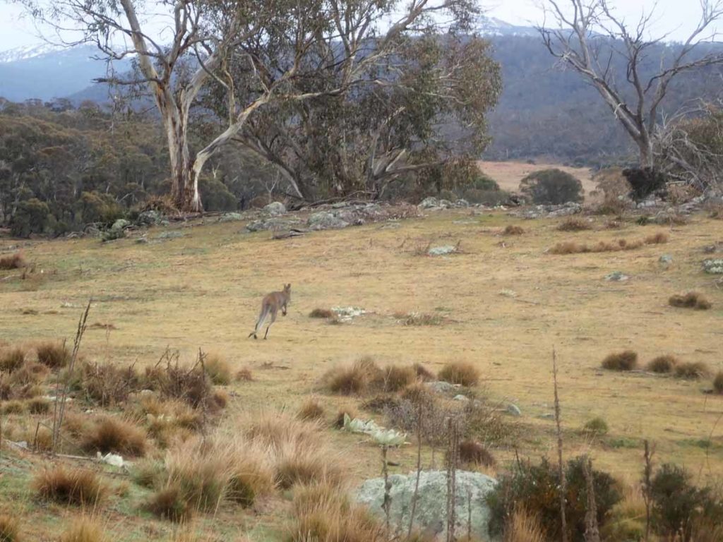
Snow covered mountain in the distance. Even though you are heading down to the bottom of the ACT you are increasing in altitude into the snow zone. During mid winter expect this area to have snow coverage

Banksia in flower

Kangaroos everywhere

Creek crossing about 5 km. DO NOT cross this creek for this track. This is the Old Boboyan Road Track

Veer to the right

Follow the Sams Creek signage

This is the road you are after

Look for this sign – this route will take you to the southern trailhead

Toasted swamp from the 2019-20 bushfires

Big male kangaroo on the hop

Insect gall

Trail example

Burnt on the right hand side of the road, unburnt on the left

Offshoot that connects to another road and can be an alternative route

Water crossing

Mountain bikers on the track

More water on the trail that you need to cross

Catching up with Gill
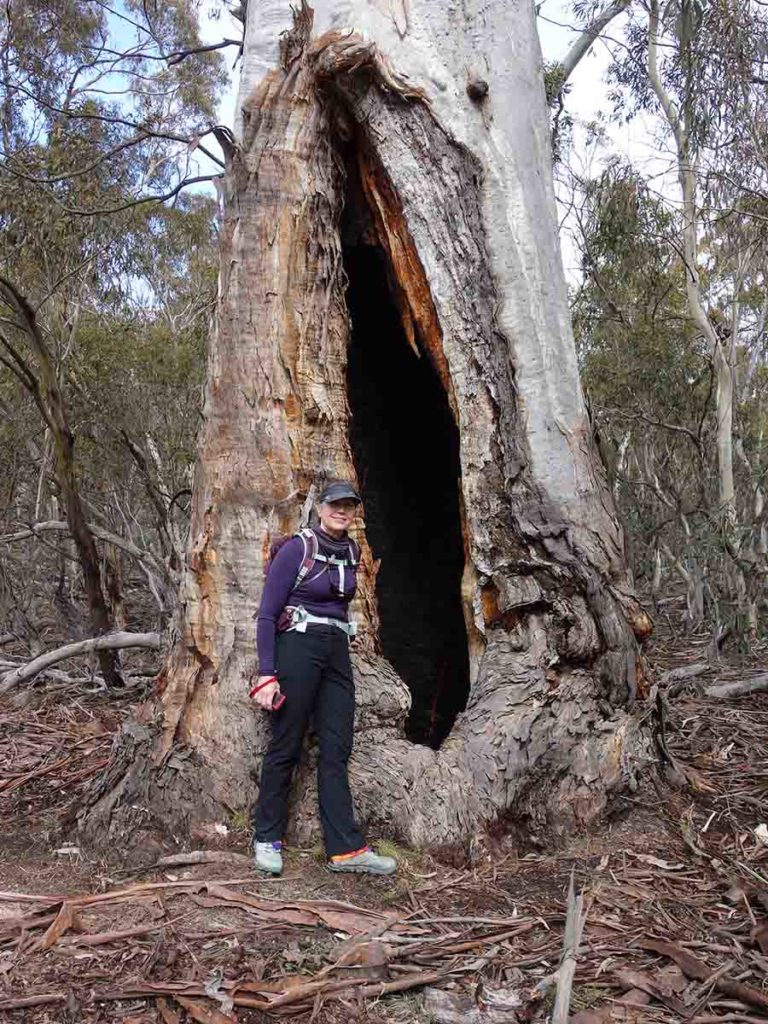
Big hollow tree

Fallen tree on the trail after recent big rains

Fungus

Follow the trail. The fence line is the ACT/NSW border

National Trail signage

Scribbly gum

Trail example

Wattle in flower

Balanced rocks

And down we go, one of many downhill sections

Westermans Hut

Almost there

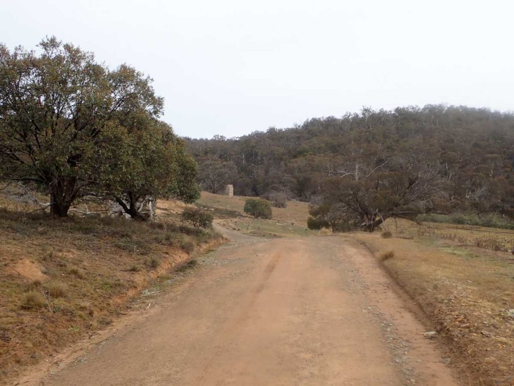
Approaching the southern trailhead

Sign out at the southern trailhead
Southern trailhead. The big sign in the background is the ACT/NSW border
This compilation of videos and photos provides a visual overview of this trail
Getting There
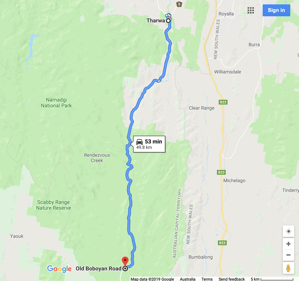
Google map showing the distance from Tharwa Bridge to the trail head on the Old Boboyan Road car park
- From the Tharwa Bridge head down Boboyan Road towards the Yankee Hat Rock art site
- Instead of turning off to the the right towards the Yankee Hat car park, keep on going. The bitumen ends not far from the Yankee Hat turnoff and the road is usually in good condition for an average car
- The road edges can be a bit soft and in cold conditions there can be snow and ice on the road so drive carefully. WARNING: sometimes the road may be closed so if doing this walk in winter check with the Namadgi Visitor Centre prior to driving to this site. On the day we did this walk, the road was closed to all vehicles except those with 4WD capability
- At the end of the bitumen road travel about 2.6 km until you come to the Hospital Hill lookout on the right hand side of the road. This lookout is signposted and the lookout is adjacent to the road so a stop off is well worth the visit as there are some great views
- From the Hospital Hill lookout head along the Boboyan Road until you reach the Mount Clear car park – your turnoff is the next road on the right approximately 500 metres further on
The whole trip from the Tharwa Bridge is just on 50 km.

The road advisory sign just after the Thawra Bridge crossing on the left side of the road. Pay attention as it may save you a drive as the road can sometimes be closed during winter due to snow conditions
Yankee Hat turnoff. Keep to the left and head towards Adaminaby
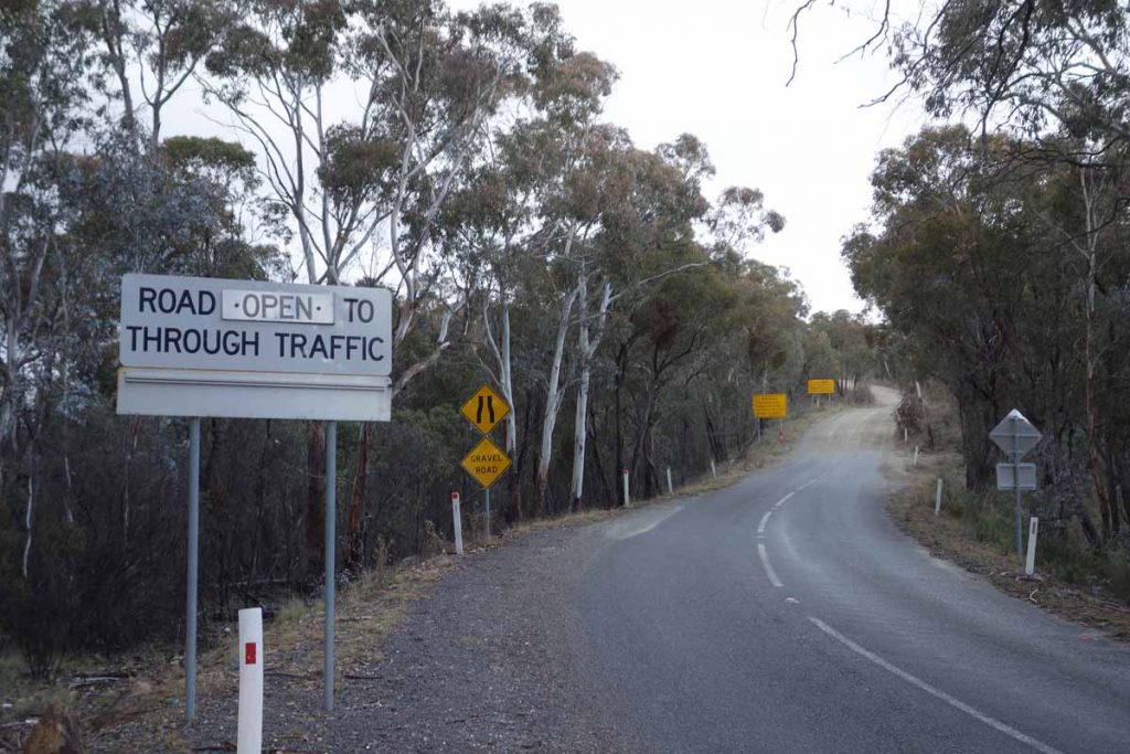
End of the bitumen road. The condition of the dirt road varies and while it is usually good from here to the trailhead, it can also be in bad condition after heavy rain. It can also be covered in heavy snow in some winters
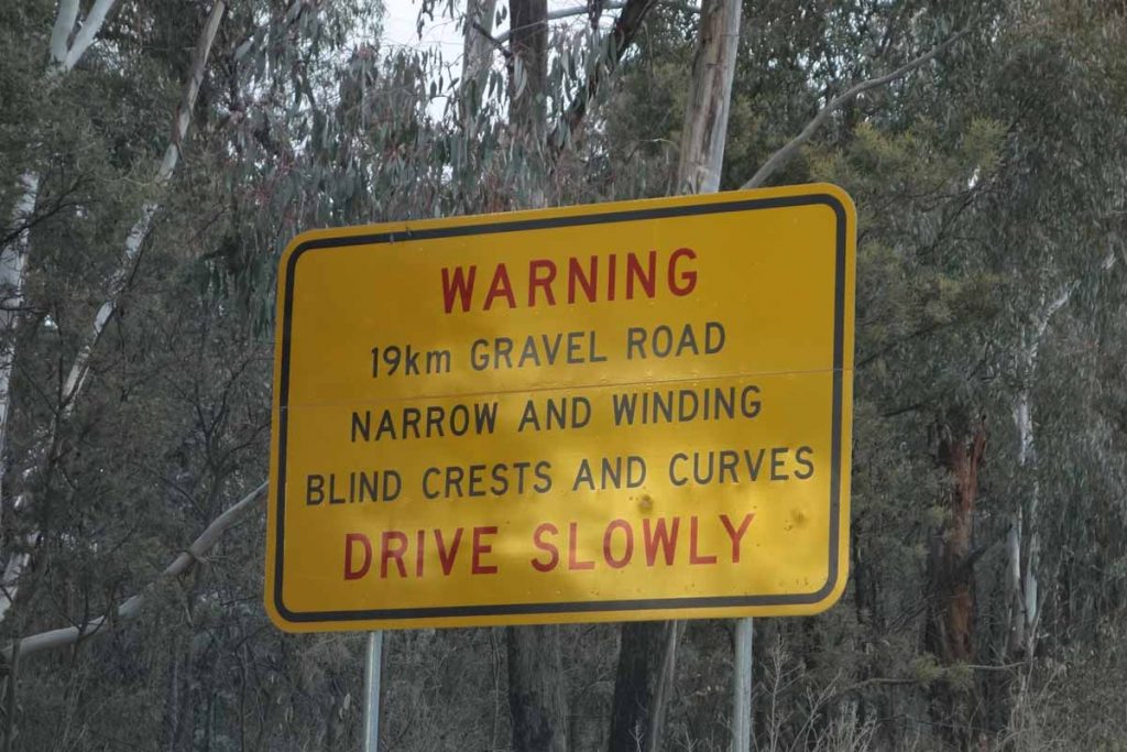
Road warning sign. You’ve been warned!
Hospital Hill lookout car park
Hospital Hill lookout. Stopping here is worth the trip itself
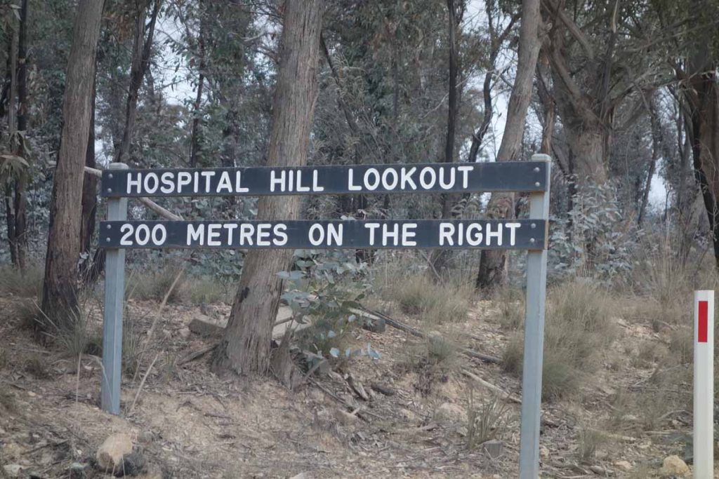
Hospital Hill lookout signage
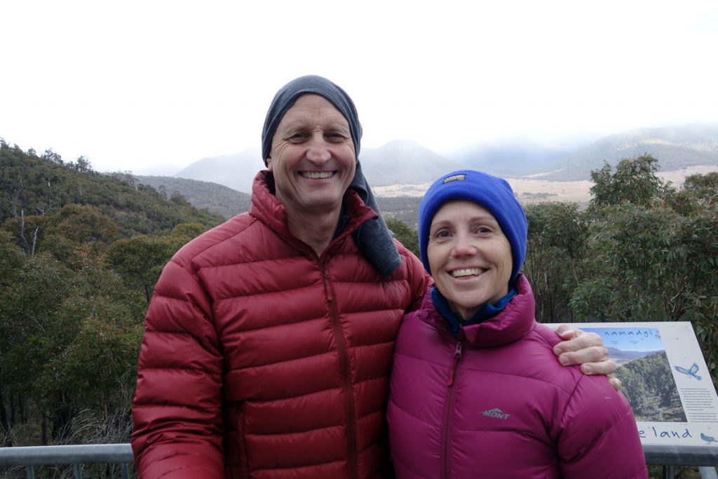
Tim and Gill at Hospital Hill lookout. The views from here are well worth the stop; and yes it was cold
Turn off Boboyan Road to Old Boboyan Road. The trail head is about 700 metres down the road
Things to Know
- There is a toilet facility at the nearby Mount Clear Campground, the Glendale Picnic Area and Westermans Hut
- You need to bring water or if you intend to collect water on the trail then bring a filter
- Keep an eye on the road once you reach the unsealed section as there is a lot of 4WD traffic and blind corners
- There is intermittent mobile phone coverage on this trail, mainly around the southern trailhead near Westermans Hut
- The road may be closed due to snow so if its winter it would be worthwhile calling into the Namadagi Visitor Centre. The park service also has a warning sign just past the Tharwa Bridge advising the road condition
Disclaimer
This walk was undertaken by the team from Australian Hiker