Orroral Ridge-“The Belfry” ACT (3.4km)
Namadgi National Park
Starting Location
Orroral Ridge Car park accessed via the camp ground at the old Honeysuckle Creek Space Tracking Station
Finish Location
Orroral Ridge Car park
Best Time to Travel
Year round although spring will have more wildflowers. If you are doing this walk in mid winter start later in the day or pick a day that doesn’t have fog to get the great views
Orroral Ridge-"The Belfry" Walk Summary
Orroral Ridge, also known as the “Ridge of Stone” is a site that consists of two seperate walks that can be easily done in a single day if you have the time however this ridge line of large granite boulders is definitely a walk of two halves.
The Belfry is not as widely done as the Sentinel Rocks Walk to the right hand side of the carpark and is mainly used by Canberra’s rock climbing fraternity. You start the walk to the Belfry by taking the trail access on the left side of the car park and almost immediately the obvious trail takes you about 70 metres to the cliff edge and some great views however this is not the trail you are looking for. As the trail starts you actually want to head to the left which will take you along the top of Orroral ridge to a prominent rock outcrop called the Belfry. The best views on this trail are actually about 80-100 meres before the Belfry and with minimal rock scrambling you climb onto the top of a large granite outcrop which is located just adjacent to a rock overhang/shelter which you can use as a natural camp site. The views from her down into the Ororral Valley and with it the Old Orroral Tracking station are breathtaking providing you are comfortable with scaling up rocks.
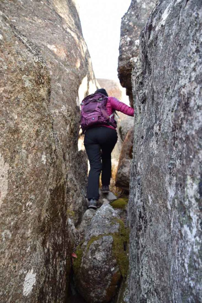
From here you can head down to the Belfry itself and have a wonder around this rock formation which has narrow passages that take you towards the cliff face but also provide you with a bit of shelter if the conditions are a bit windy. While you will be able to see the valley below from this area the previous described stop point is by far the best area for the views.
Once you have had a chance to wonder around head back towards the car park and if you are feeling up to it do the second walk on the right hand side of the car park which takes you to rocky outcrops known as the Opera House Cave, Legoland, and Sentinel Rocks.
This other walk which is much easier and has similar views will be posted on this site in over the next week.
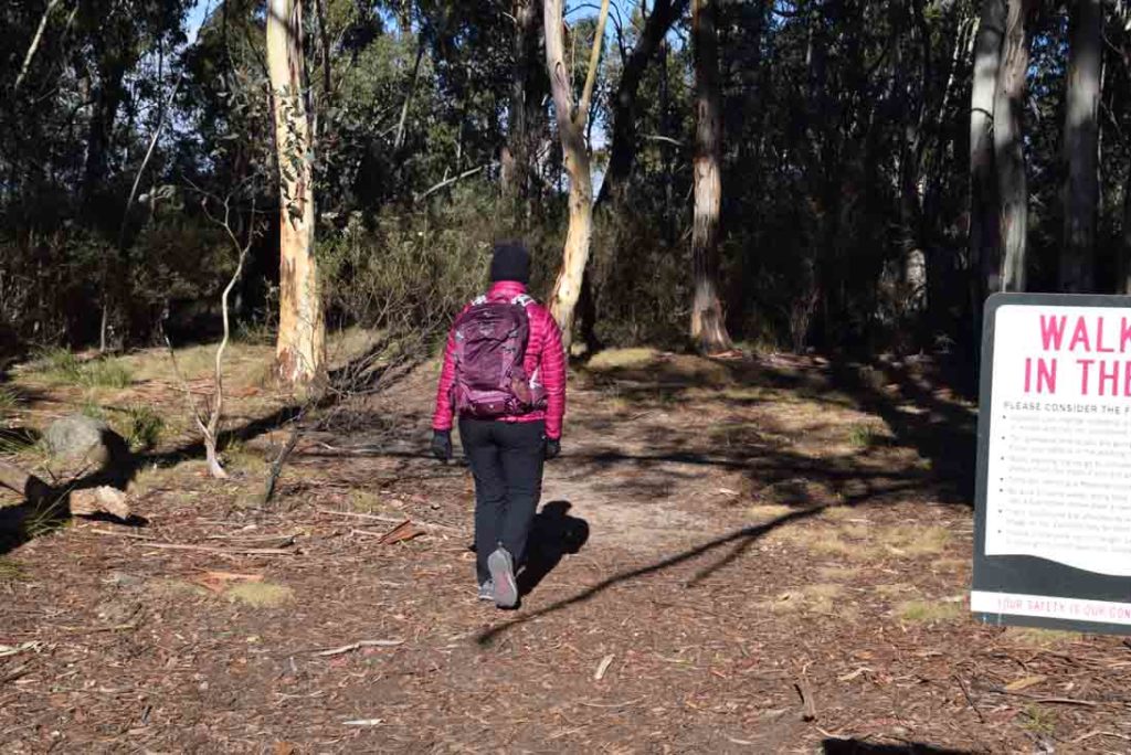
The trail to the Belfry is mainly used by rock climbers so is not well worn. Take the trail to the left hand side of the car park and you will come across a well worn trail that goes straight ahead and reached the cliff line after about 70 metres and provides excellent views
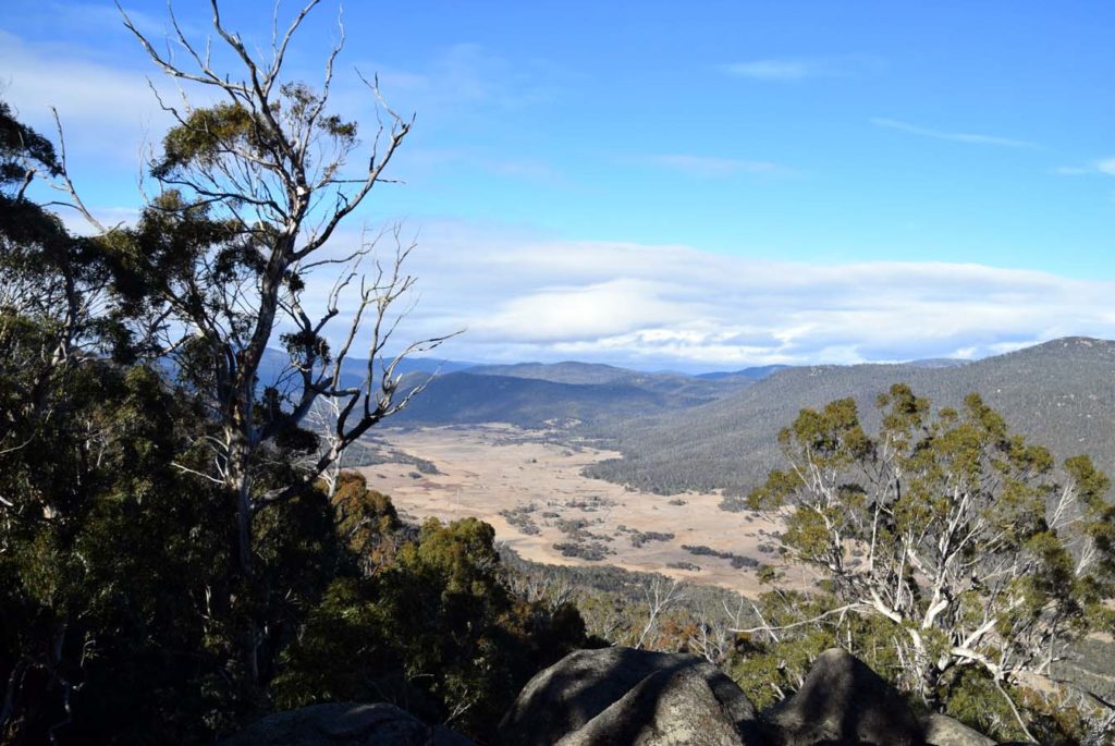
View into Ororral Valley from the first access point. From here turn around and head back towards the carpark and you will find the trail proper which will head along the ridge. The Orroral Valley Circuit walk takes in much of this valley below
The trail proper to the Belfry is not very well worn and if you don’t pay attention it is easy to get confused
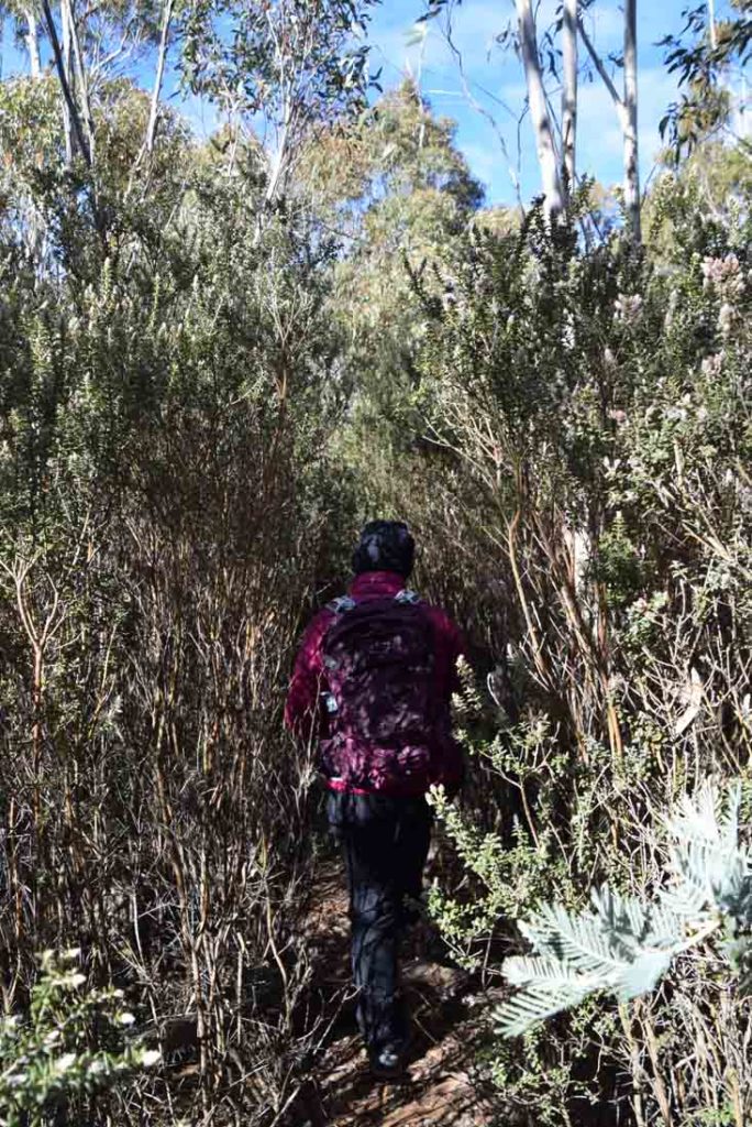
Because this trail has minimal use compared many other trails in the region the trail is not very obvious. In addition the rock climbing fraternity has worn a number of smaller trails of to the cliff edges on both sides. Pay close attention to where you are going and if you appear to be very obviously heading down hill then you may have gone off trail.
Pot luck finding the trail. If unsure have look around
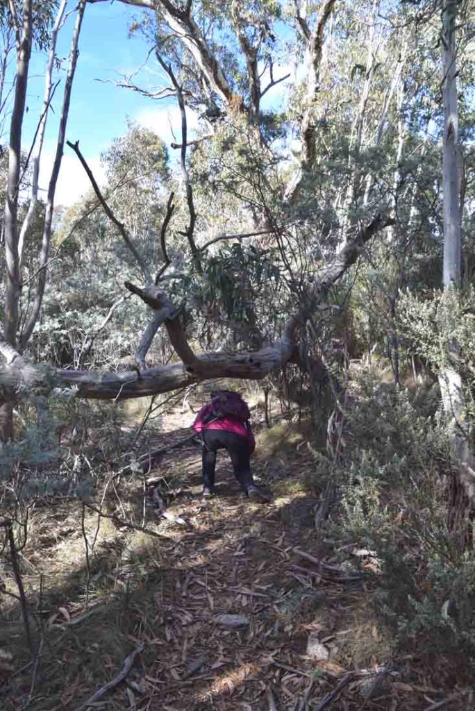
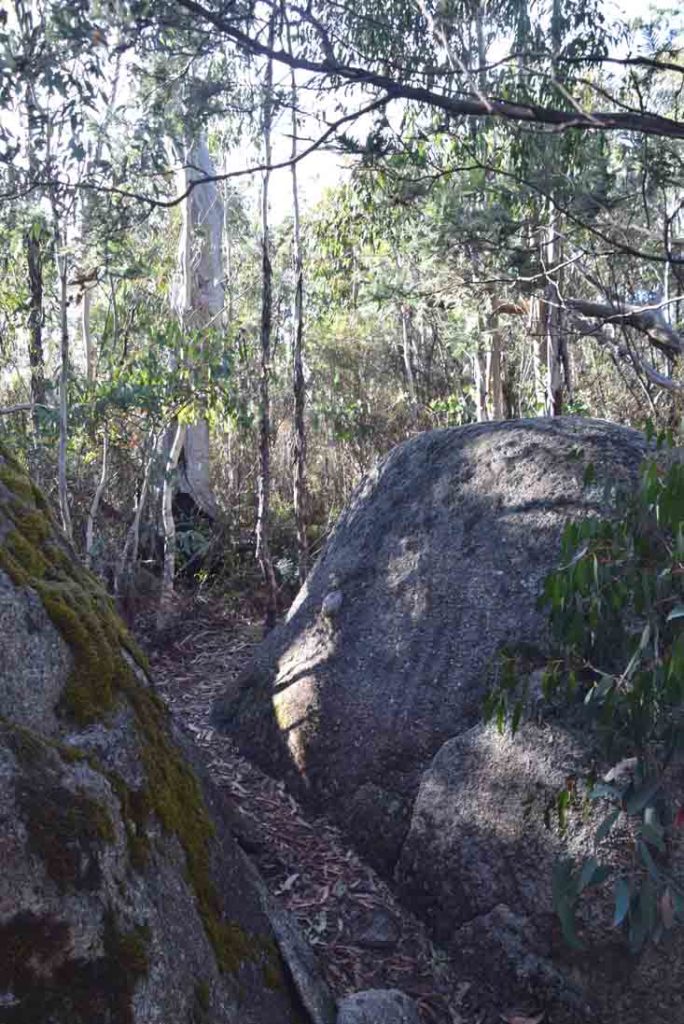
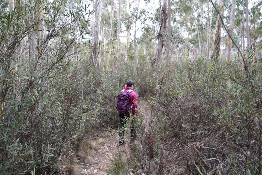
There are also a number of fallen trees which you have to manoeuvre around
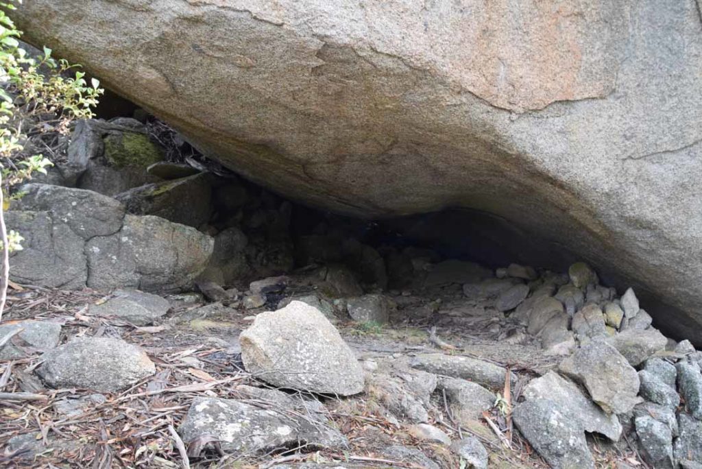
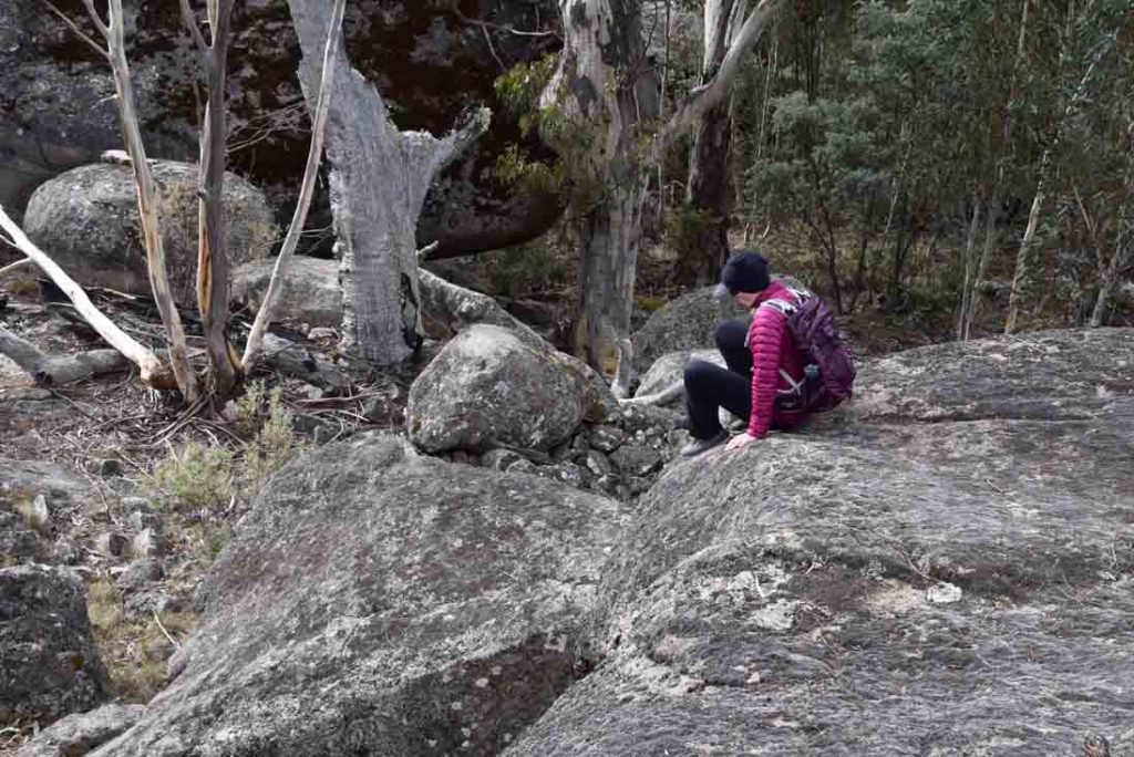
Sheltered overhang. once you come across this on the right hand side of the trail head up into the rocky area adjacent to this for the best non scrambling views on this side of the trail
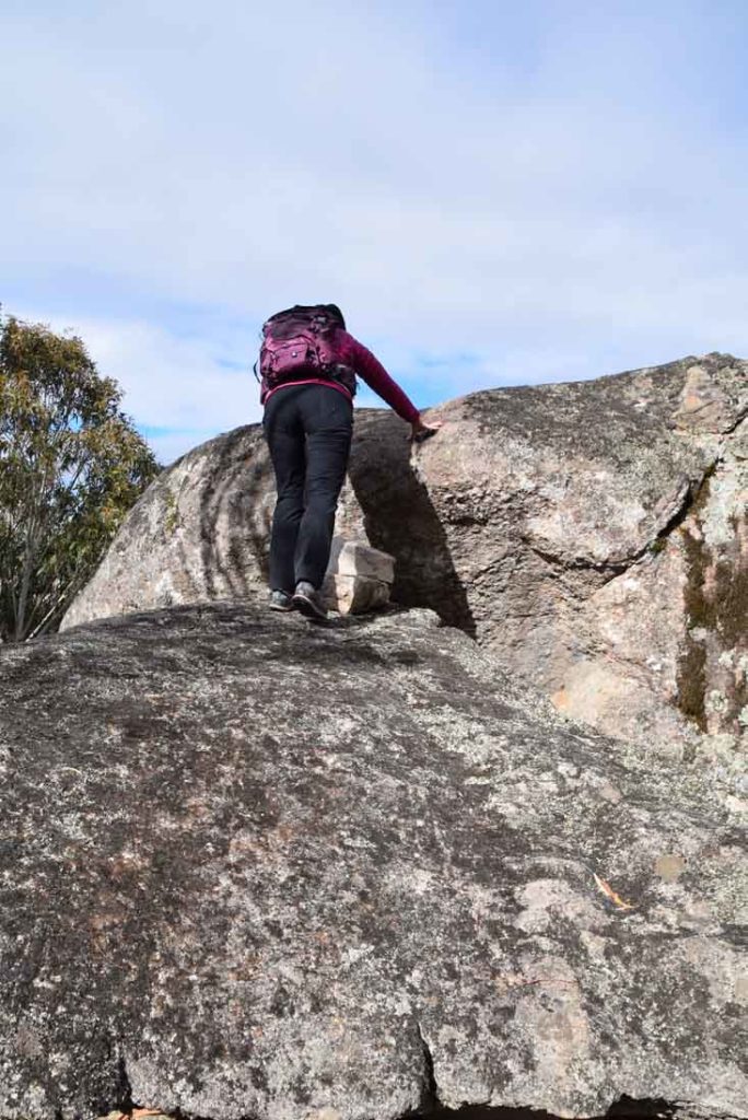
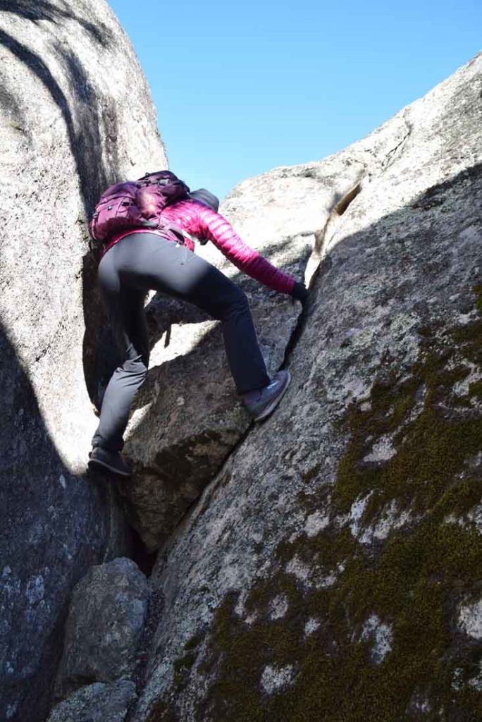
Up we go. This is where you will find the best views on the trail and still requires a bit of scrambling but will be accessible to most fit people
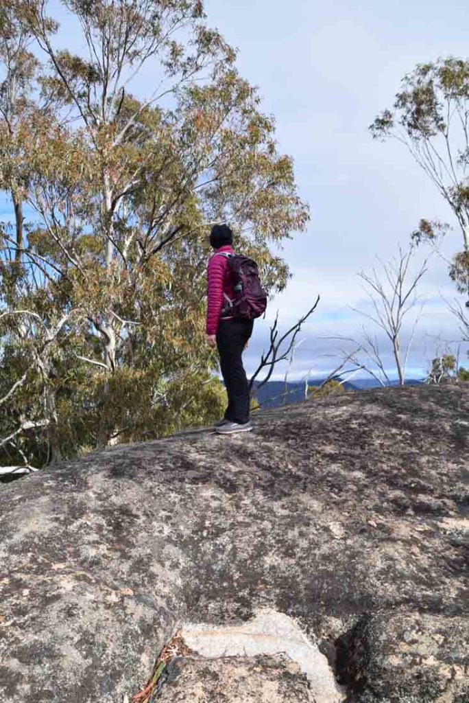
Gill taking in the view
Views into Ororral Valley from the Belfry Walk. This photo doesn’t do the views justice
View down to the old Ororral Valley Tracking Station
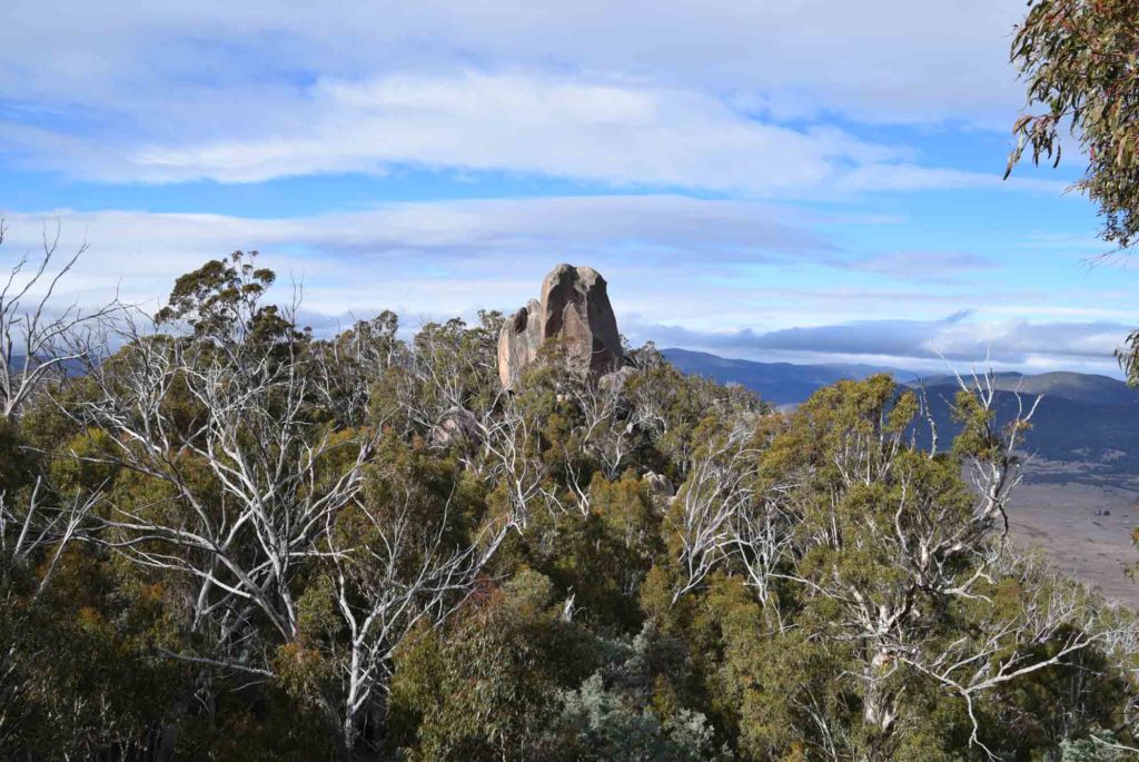
The Belfry is a very prominent and easy to spot rock formation popular with many rock climbers
Going down
Off track scrambling on another rock area along this trail
And now we are getting into bouldering!
Rock climbing pitch at the Belfry
On the way back
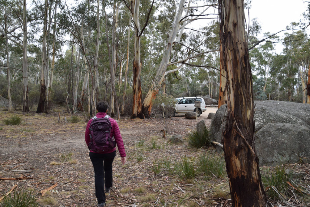
Coming back to the car park from the Belfry
Getting There
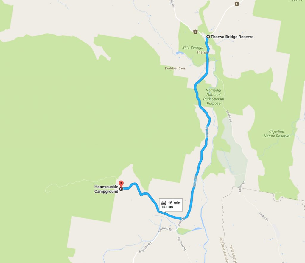
One of the hardest things about this walk is getting to the car park to start the walk. The access point to the Orroral Ridge Road is located inside the camp ground at the former Honeysuckle Creek Tracking Station complex which has an excellent carpark and facilities for overnight visits.
To get to the Honeysuckle Tracking Station drive from Tharwa approximately 15 km from the Tharwa Bridge along the Naas Road and turn right off Naas Road onto Apollo Road. Drive to the end of Apollo Road which finishes in the Honeysuckle Creek camp ground. There is ample parking most of the year and usually close by the access point to the trailhead.
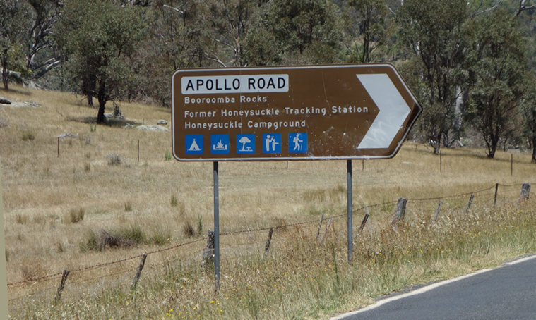
Turnoff to Apollo Road
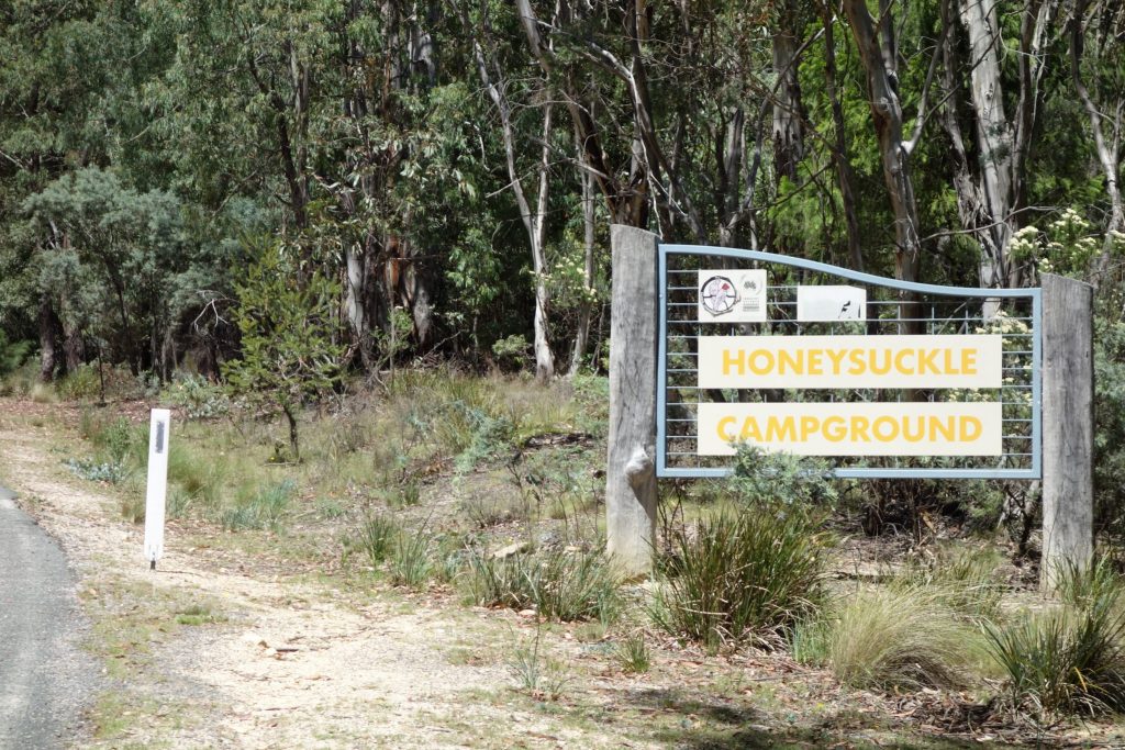
Entry into the camp ground
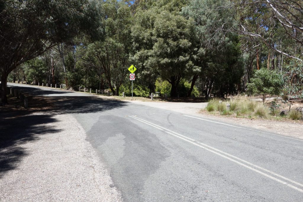
Take the first right hand turn after entering the carpark
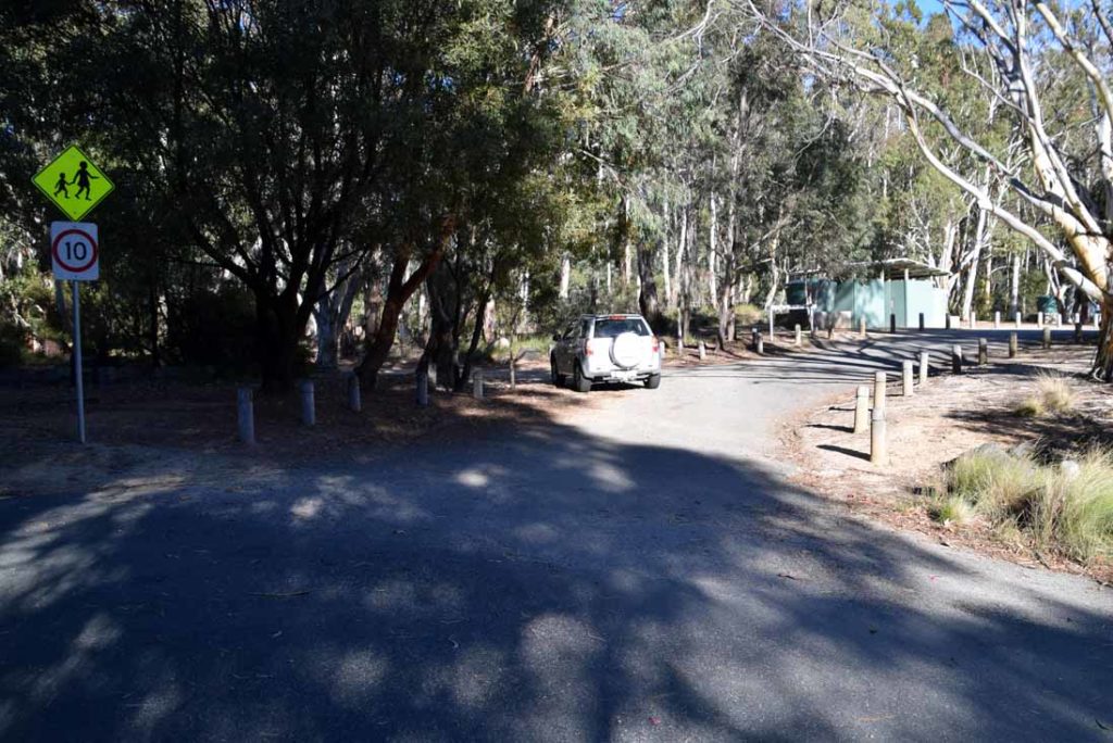
Road to Ororral Ridge located just before the toilet and BBQ area at the Honeysuckle Camp Ground
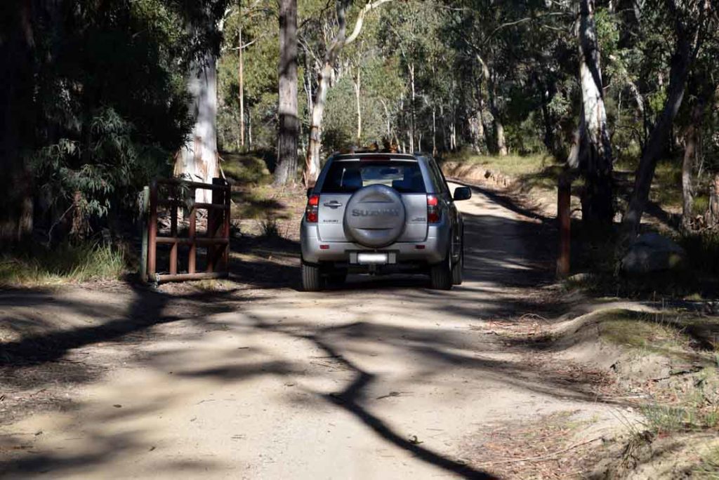
Gate onto the Ororral Ridge Road
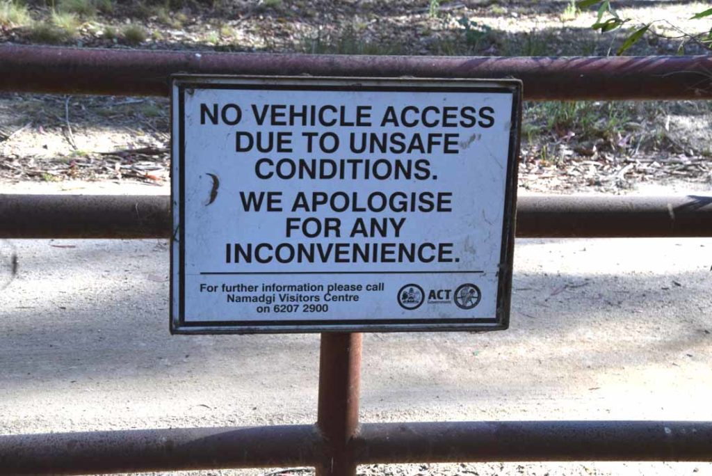
This road will be closed if the conditions are considered unsafe for vehicles. If the gate is closed and you still want do the walk then you will have a 4.2km walk to and from the trailhead if you are feeling enthusiastic
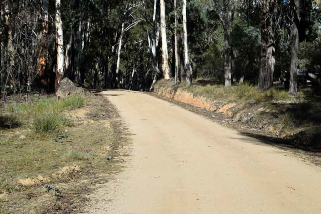
Ororral Ridge Road is very well maintained and is suitable for all types of vehicles
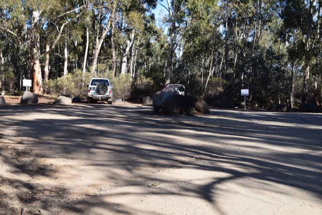
Ororral Ridge car park. The white signs mark the access points for the two walks at this location. The access point on the left will take you to the Belfry. If you go to the right the rail will take you down to Sentinel Rock
This car park will comfortably fit 10-12 cars
Things to Know
- Phone: There is reasonable phone signal as this walk is at the top of a ridge line (Telstra), data signal is variable
- Water: Water is available at the Honeysuckle campground
- Toilets: Toilet facilities are available at the Honeysuckle campground
- Trail: This walk is on formed trail
- Dogs: Dogs not allowed
- Camping: Camping allowed
- Other:
- The access road to Ororral Ridge may be closed if the road conditions are considered bad so either come prepared for an additional 8.4km walk or have an alternate walk planned
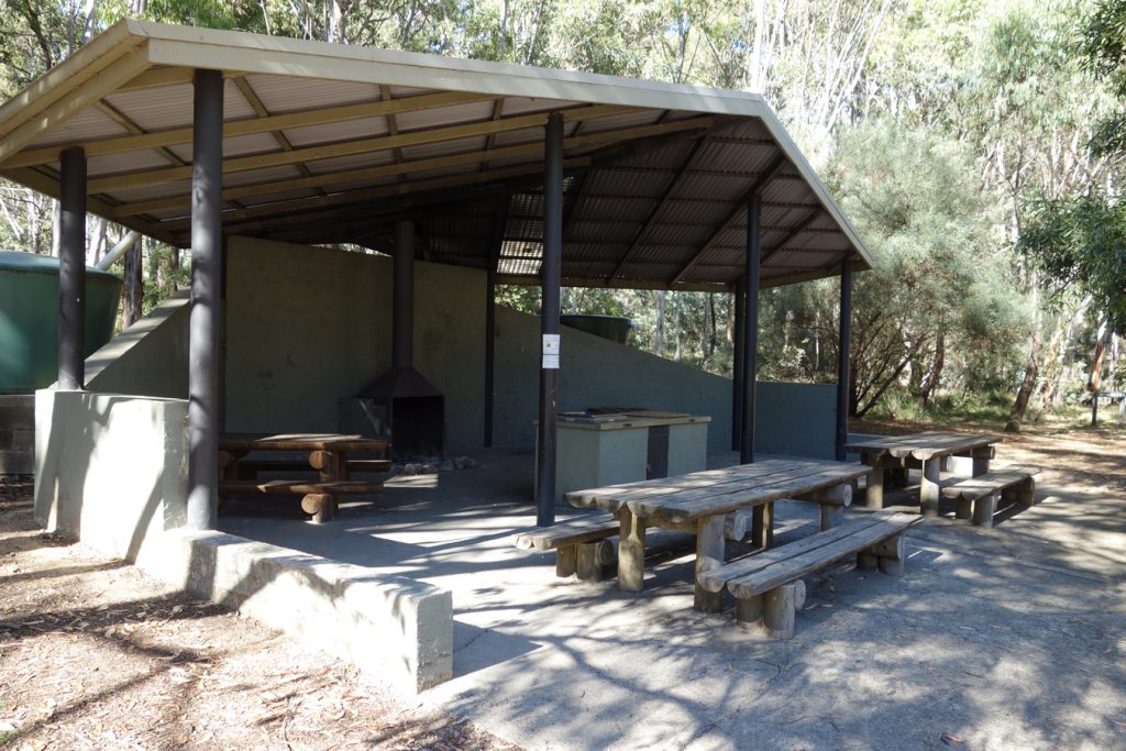
BBQ area and water source located at the Honeysuckle Creek camp ground. The toilet facilities are located to the left of this image
Disclaimer
The walk was done by the team from Australian Hiker
Related articles
honeysuckle creek