Rendezvous Creek Track ACT (2.8 km)
Namadgi National Park
Closest Town
Tharwa, ACT
Starting Location
Rendezvous Creek car park
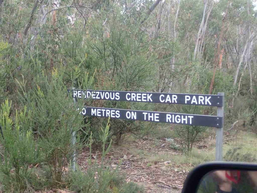
Car park advisory sign on the left hand side of the road which is partially hidden by foliage but warns you of the approaching right hand turn into the car park
Finish Location
Rendezvous Creek car park
Best time of the year to travel
Year round
Rendezvous Creek Track Review
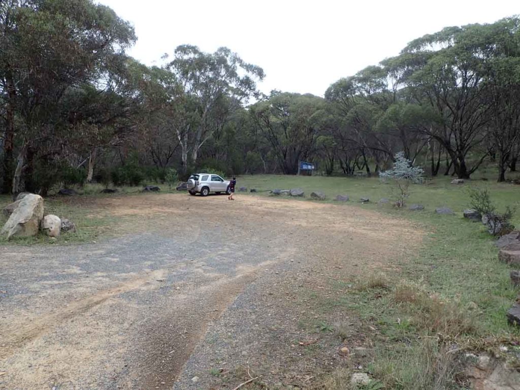
Like many of the walks in Canberra I had done the Rendezvous Creek in the past but that was prior to me setting up Australian Hiker so I didn’t have the relevant photos and details that I needed to do a proper review. I love Namadgi National Park, in particular the southern and western areas that border the remote wilderness regions and this little walk is no different. The Rendezvous Creek car park is located on the right hand side of the road between the Glendale Picnic area and the Yankee Hat trail head and requires no special type of vehicle to access. In fact the road is good quality bitumen all the way there. The car park itself is unsealed but in good condition and will fit around 10 cars though I have never seen more than a few at a time here with the other better known walks grabbing all the attention.
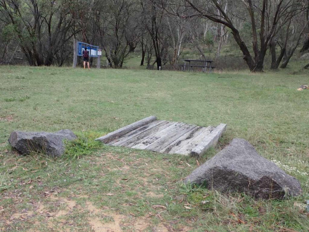
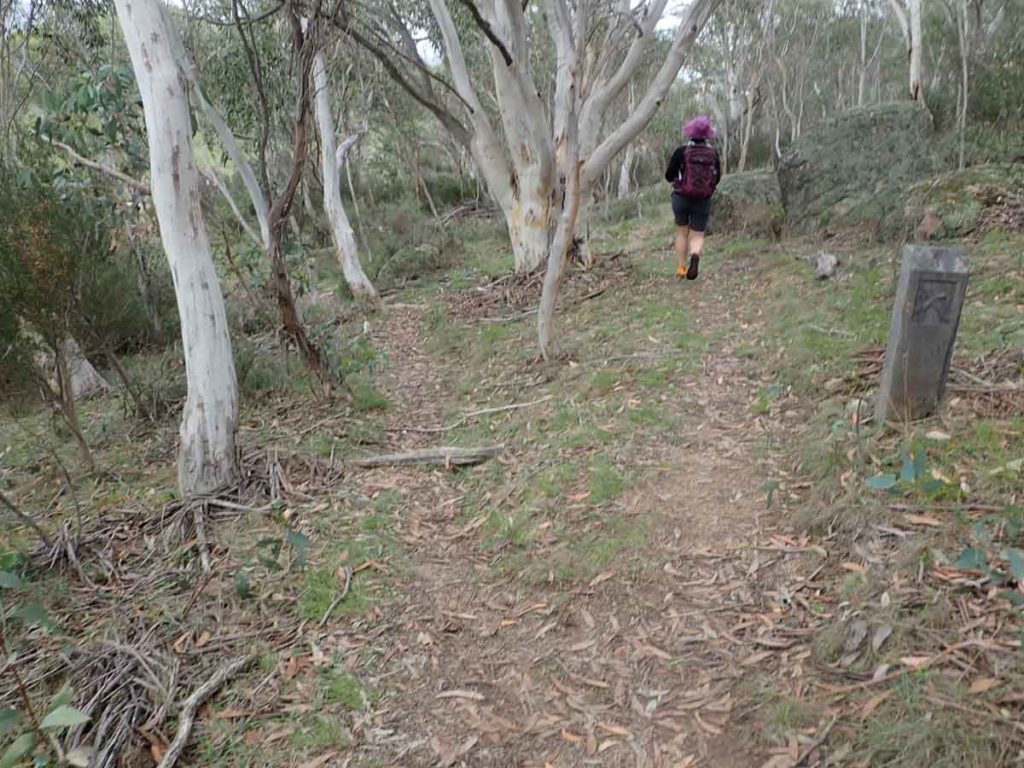
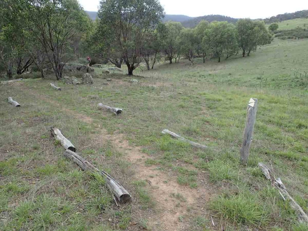
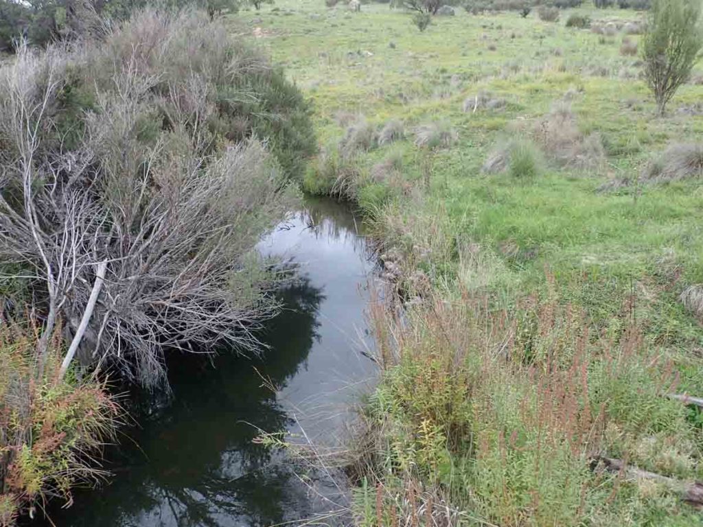
Once you arrive at the car park head of to the trail information signage and start your walk through areas of ‘Black Sally’ Mallee Eucalyptus that dominate this particular section of the park. I love these Eucalyptus; both the form and the bark is spectacular. From the trail head you head up and through this well wooded areas past hidden stream babbling in the background before eventually coming out onto the open plains of the adjacent valley. On the day we did this walk there were lots of little toadstools and interesting insects around as well as the occasional skittish wallaby that would shoot off before to close. Eventually you loop back round and come back into the wooded area before rejoining the trail you came out on. While not heavily used the trail tread is worn enough that it is easy to follow and there is enough directional signage to confirm which way you are going.
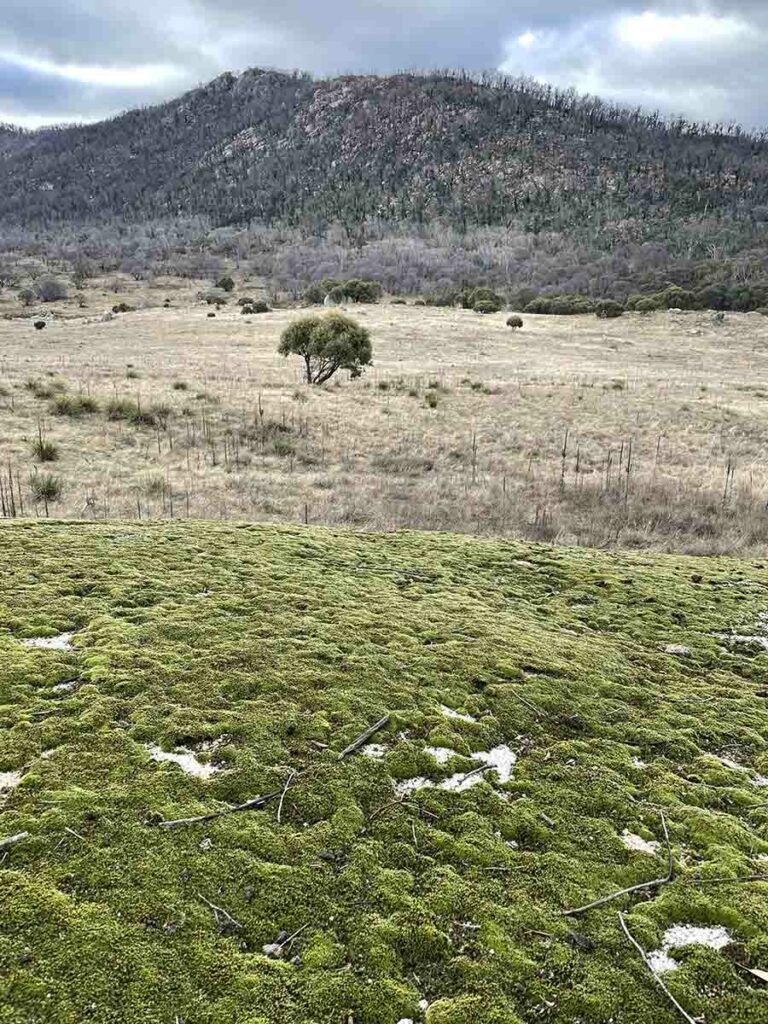
One thing to note on this track is that it was impacted by the 2019-20 bushfires that swept along much of eastern Australia and as a result the landscape, while burnt at that time is making a comeback and while it will take another couple of years to totally recover there are some spectacular regrowth as a result and this walk is still worth doing. One of these new features on this trail is when you reach the turn around point and look around you will see what looks like an area of green carpet about 200 meters away. This turned out to be large rock shelf that was almost totally carpeted in moss. I had never seen such a large rock so covered uniformly before and while it may not last for long like this it was worth the short detail off trail.
While just on 2.8km this walk took us just over an hour to do which is slow by my standards as I kept on stopping to take photos of all the little hidden gems on offer. There is also the opportunity to explore in the valley before you loop back around to the trailhead.
This is a great walk that is easy to access and doesn’t require a lot of physical effort so is an excellent one to take newer walkers on. Bring some food with you for morning tea or lunch to enjoy at the trail head or at the half way mark on to of the open hill at the benches/tables provides.
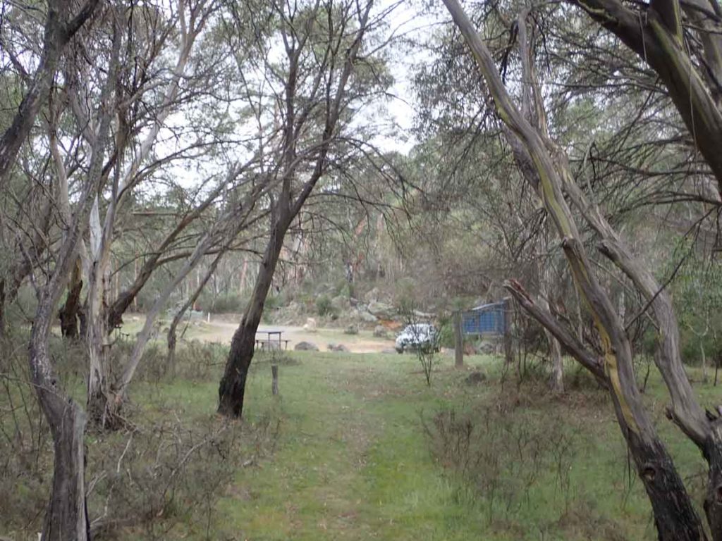
Over to the trail head and picnic area adjacent to the car park
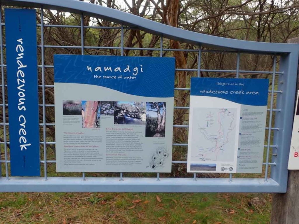
Trail head signage
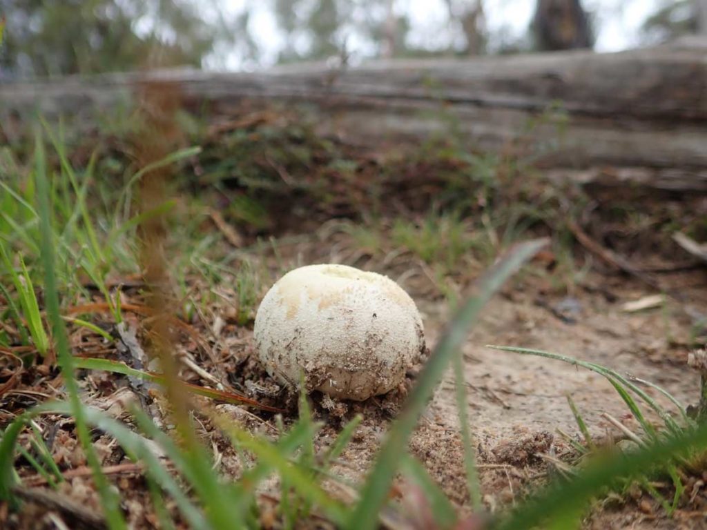
Puffball on the trail
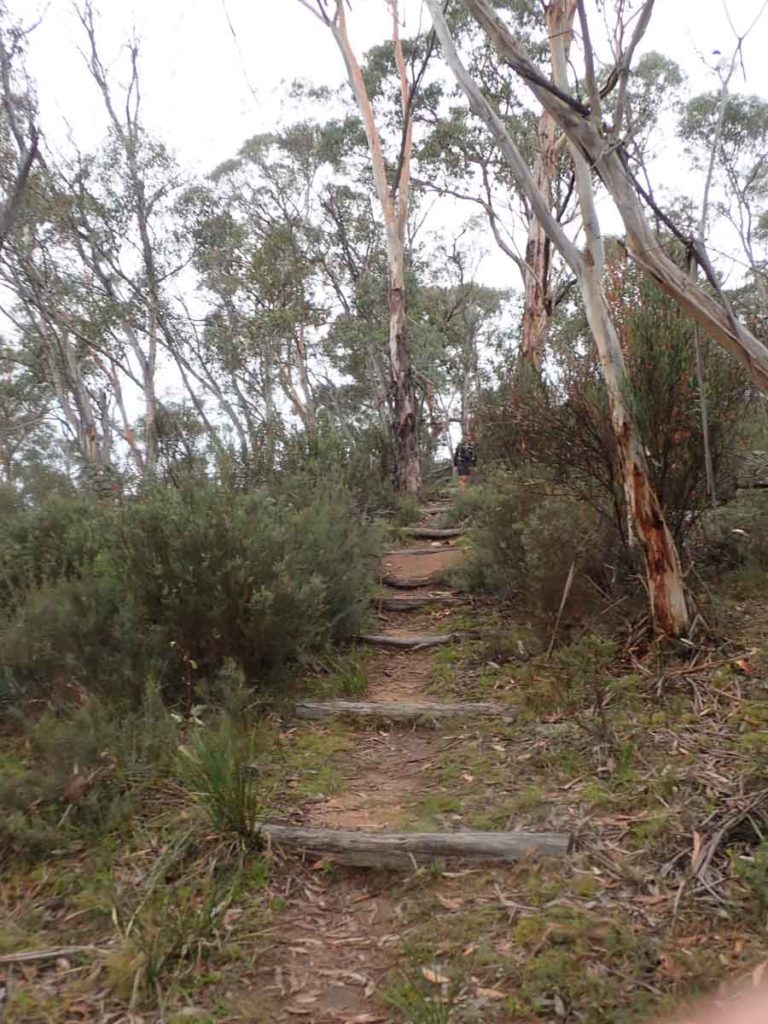
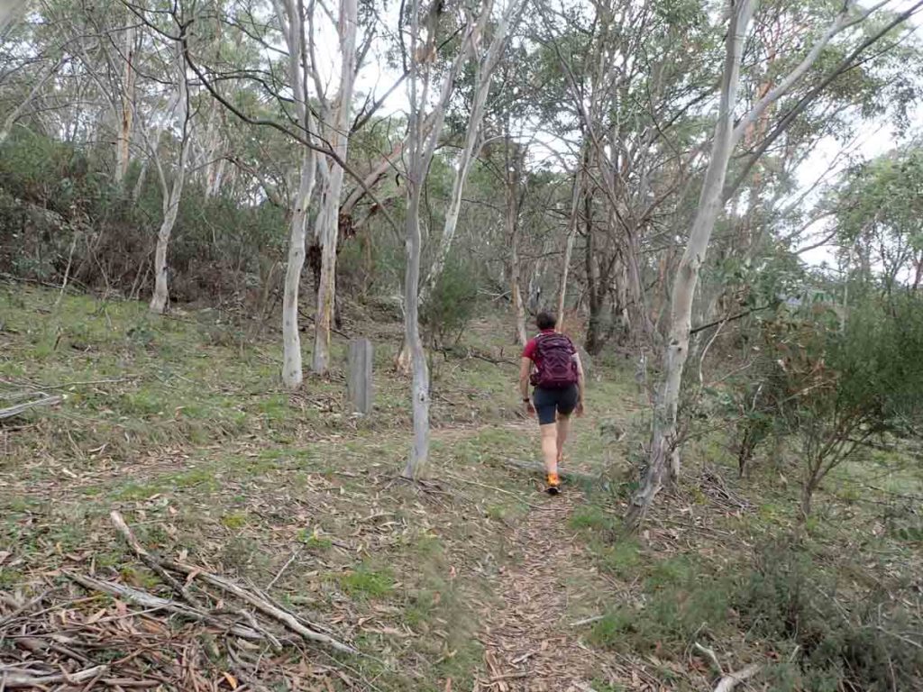
Heading up the small hill from the trail head
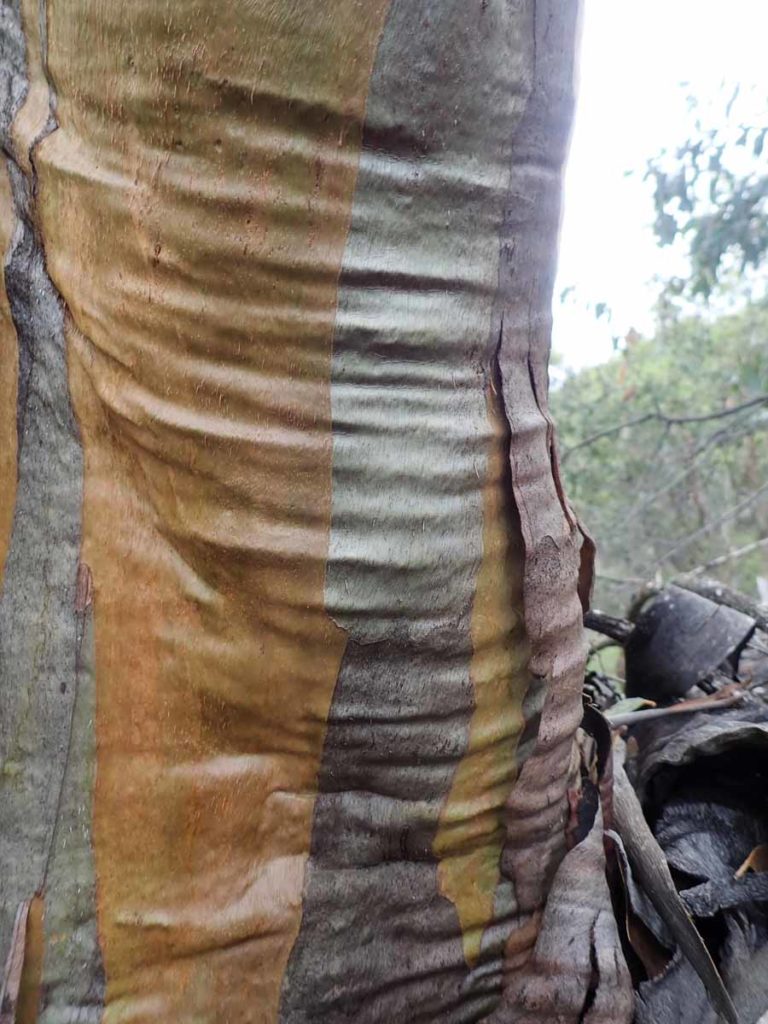
Eucalyptus stellulata, Black Sally
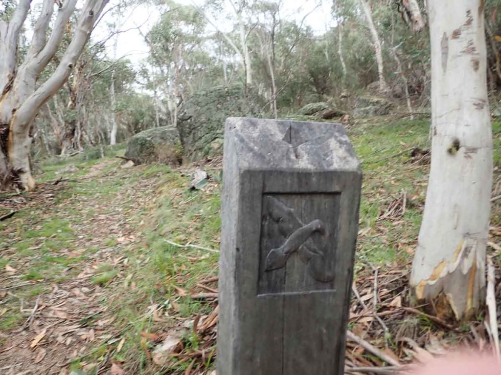
Trail directional signage
At this point can take the left or right branch and return on the opposite one. I would recommend that you take the right side, it just makes more sense
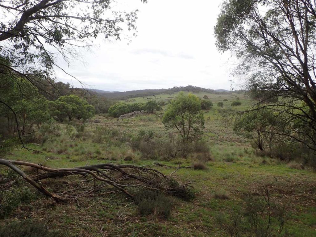
View out from the forest into the open valley
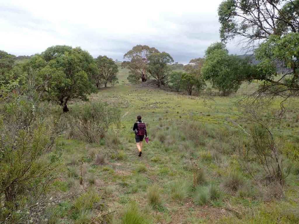
Coming out into the open
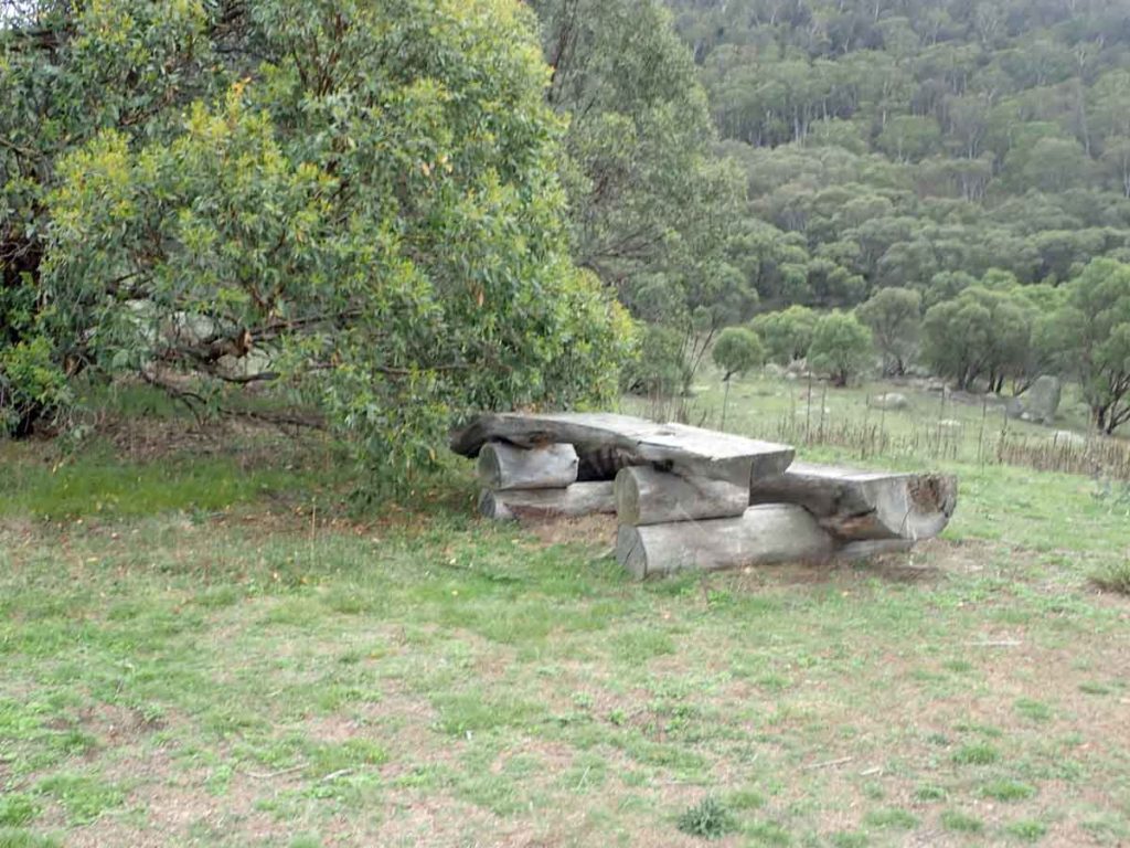
Seating at the high point about half way through the walk

Black Sally in Flower
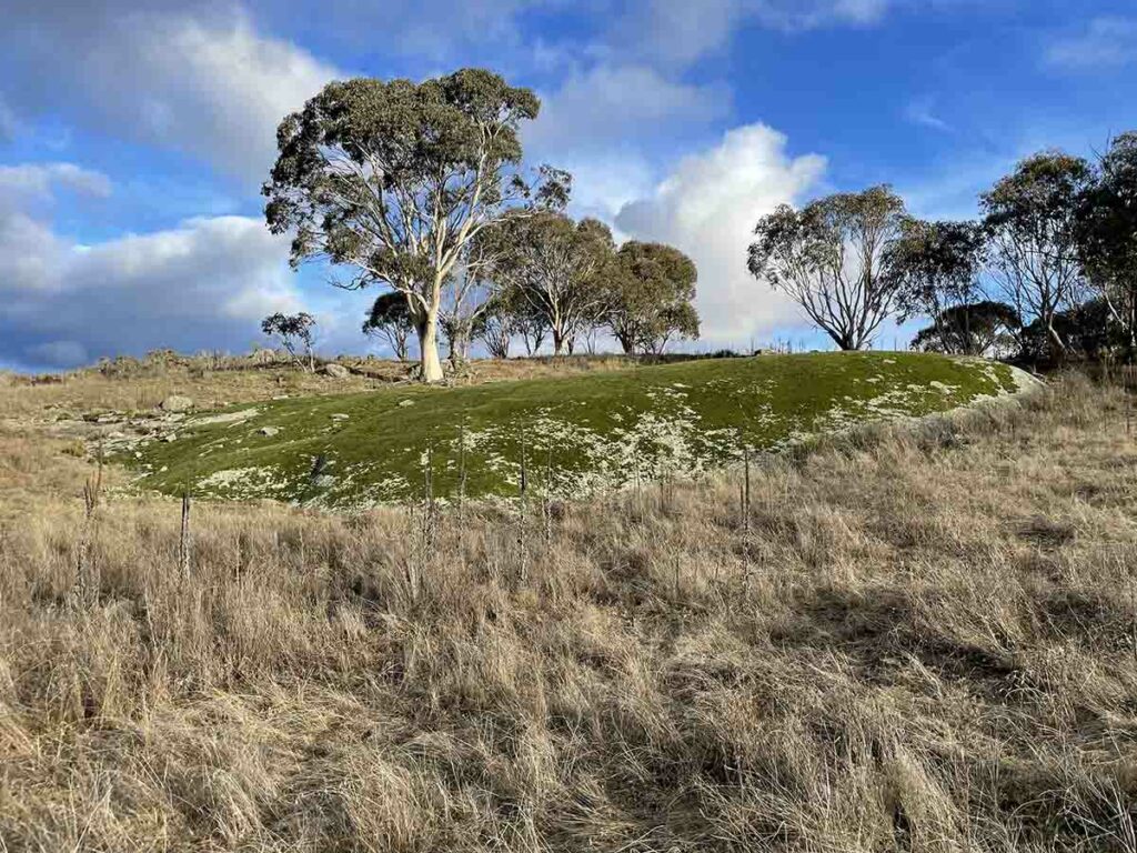
Moss carpeted rock about 200metres away from the turnaround point. This rock just stood out
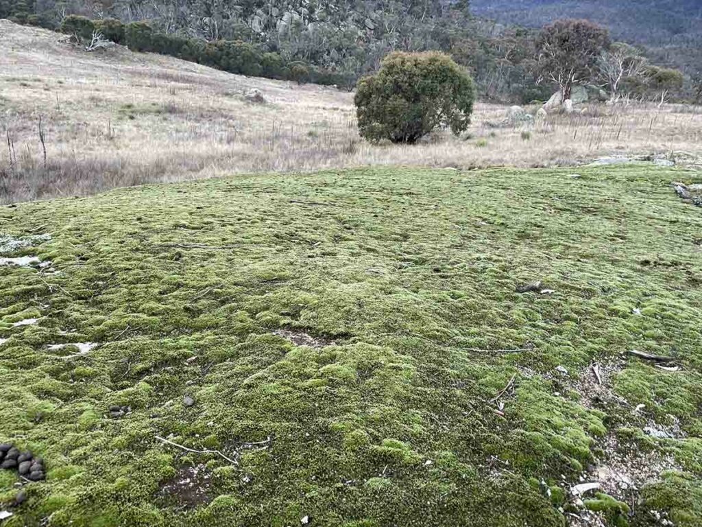
Mossy rock up close
Looking back towards the trail
More directional aids
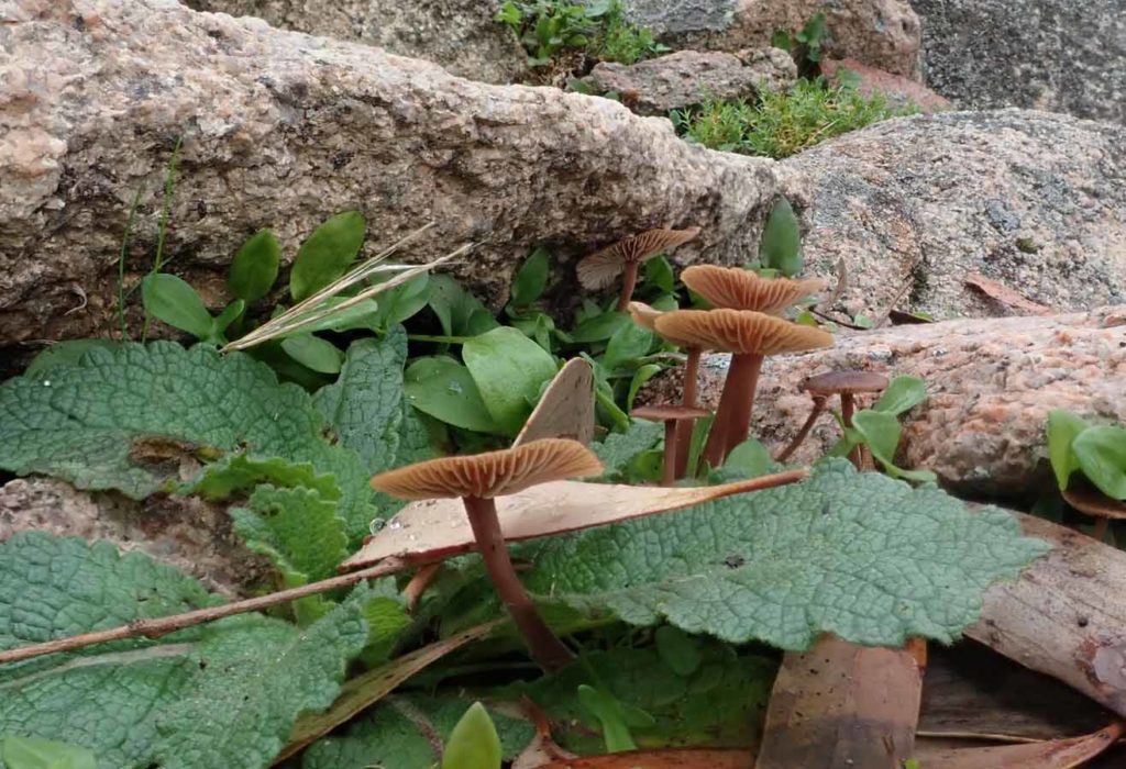
Toadstools on the trail
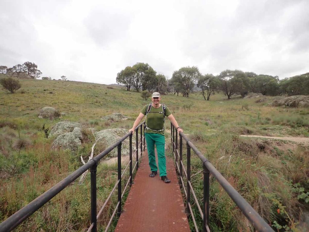
Tim on a short metal bridge
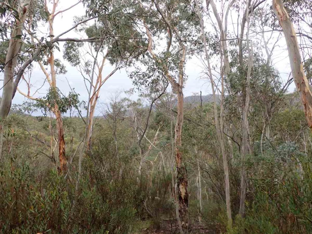
Dense bushland
There are two little bridges that cross this creek on this trail to bring you back to the start in a loop
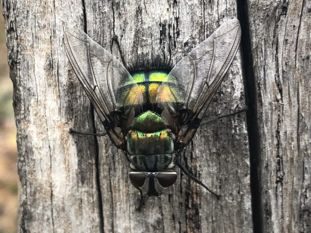
Beautiful fly
Joining back to the loop
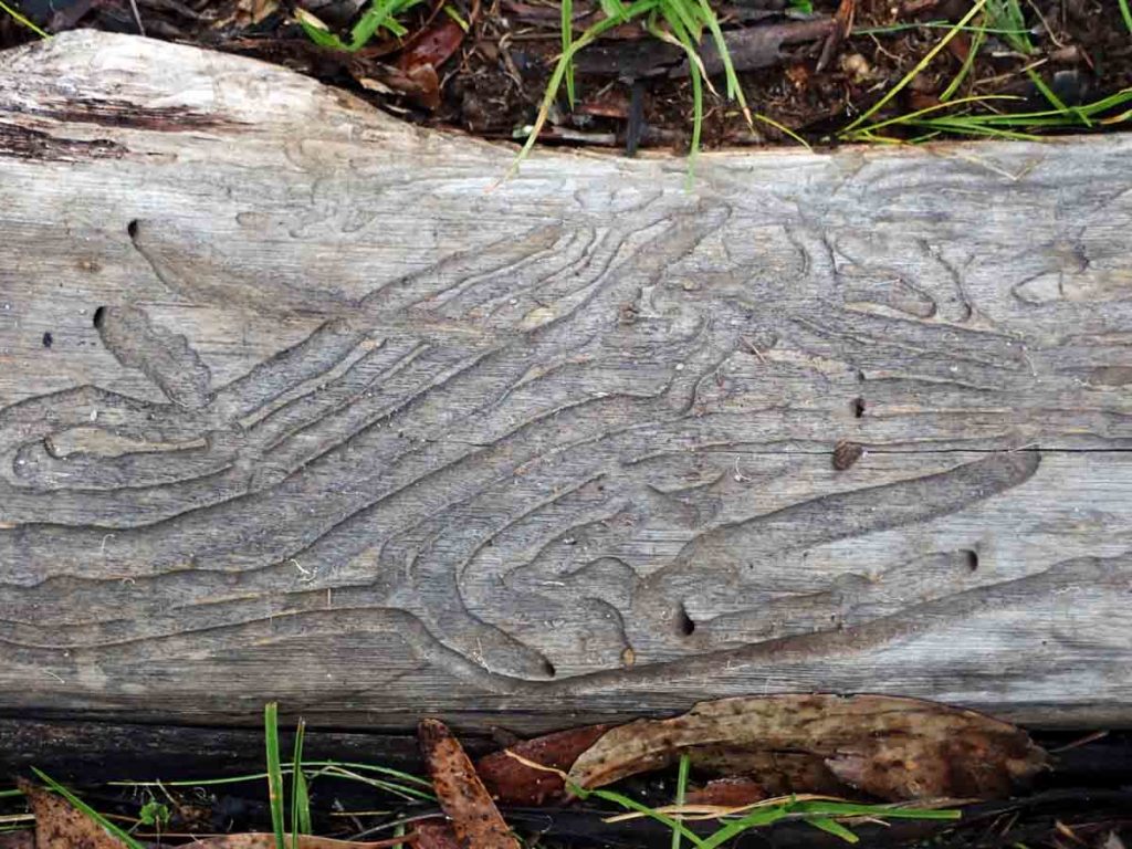
Interesting termite damage on a fallen branch
Back to the trail head
Trail video
This short video contains photos and video from our walk to show you what to expect from start to finish
Getting There
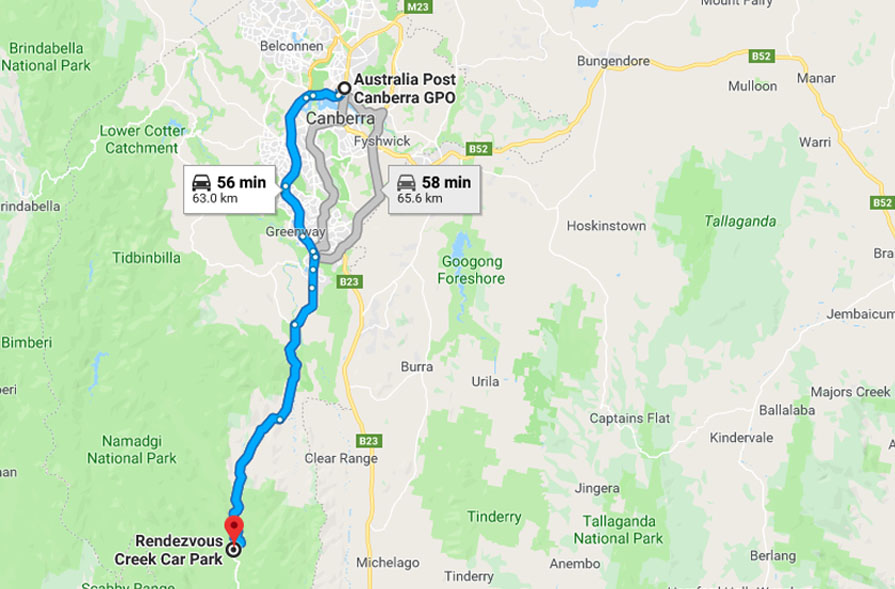
Map from Google maps showing directions to the rendezvous Creek from the Canberra GPO
This site is approximately 1 hours driving from the centre of Canberra. Head south along the Tuggeranong Parkway, past the Lanyon Homestead and though the village of Tharwa. The site itself is in the Namadgi National Park towards no far past the Glendale Picnic Area.
Things to know
- Phone: There is no phone signal in this area
- Water: You need to bring your own water or a filter if drawing from the nearby creek
- Toilets: The closest toilet facilities are just a few kilometres away at the Glendale picnic area which you will drive past to get to the trail head
- Trail: This trail consists of undulating formed track with occasional small bridge sections.
- Dogs: No dogs allowed
- Camping: Allowed but camp away from water sources out into the valley for the best experience
- Other:
- The road to the carpark is bitumen. There are no dirt roads
- Keep and eye out for Kangaroos and Wallaby’s on the road
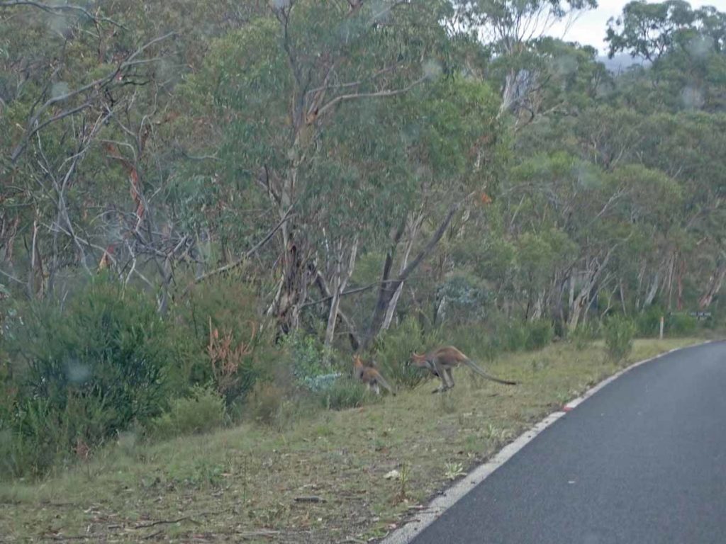
When driving in the southern end of Namadgi National Park keep a sharp eye out for Wallabies and Kangaroos on the road
Toilet block at the Glendale Picnic area. You will drive straight past this to get to the trail head
Disclaimer
This walk was undertaken by the team from Australian Hiker