Brandy Flat Hut ACT (12.3 km)
ACT
Nearest Town
The township of Tharwa is approximately 26 km from this trail head. The Canberra GPO in the city centre is 57 km from the trail head
Starting Location
Car park on Brandy Flat Road just south of the Glendale picnic area. The trail head is approximately 150 metres off Boboyan Road at a locked gate. The option exists to start this walk further down Boboyan Road or do this walk as a one-way walk and shuffling cars
Finish Location
Car park on Brandy Flat Road
Brandy Flat Hut Trail Review
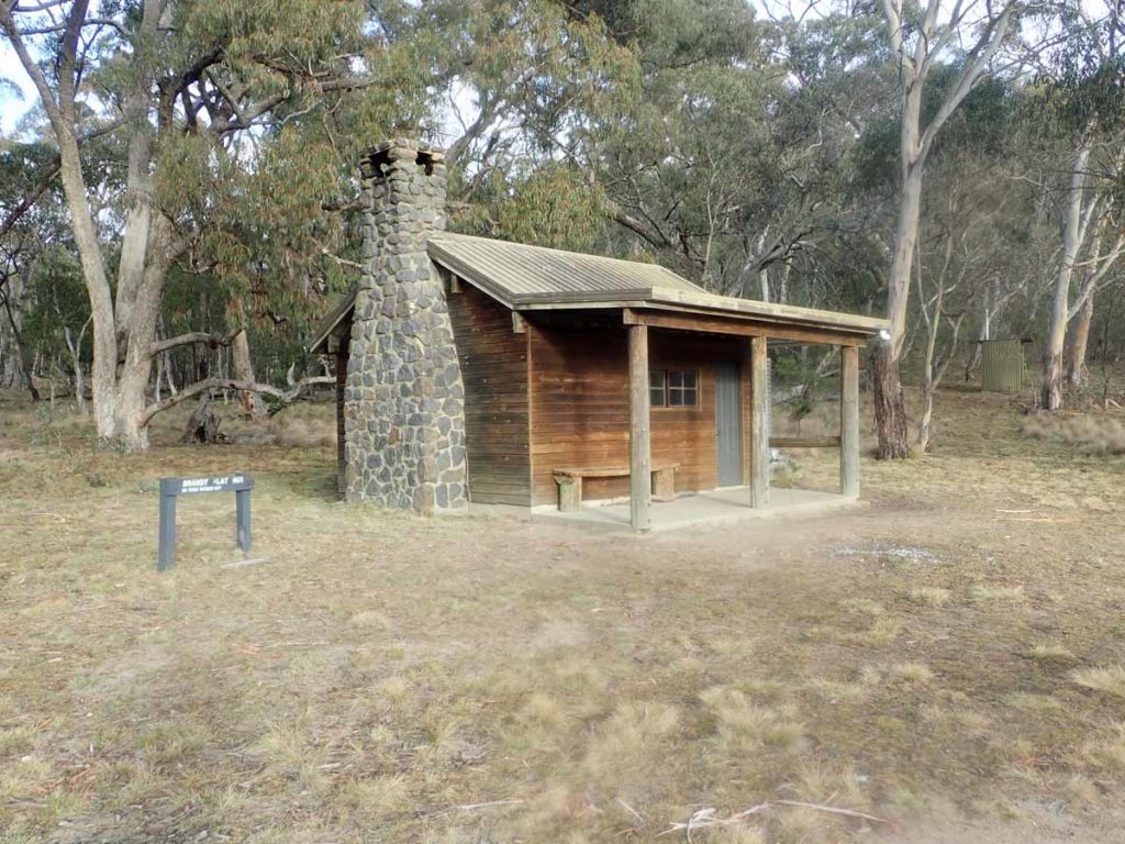
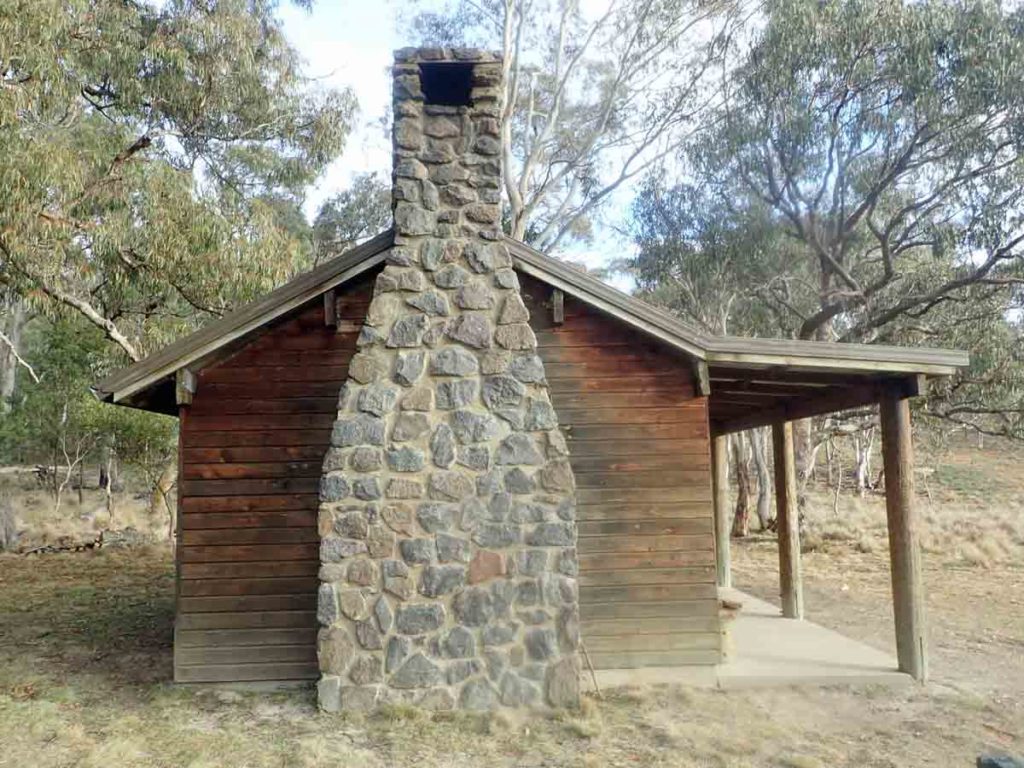
The destination for this walk is the Brandy Flat Hut which is the ACT’s best Alpine Hut. While the Brandy Flat Hut has a longer history, in its current form it has been around since 1979 and is one of Canberra’s newer more modern huts. From my perspective while there is nothing unique about the location the hut/natural environment combination just makes this a very pretty little walk.
This walk was one of the last few official walking tracks on my review list in the ACT and while I was aware that it existed, for some reason it was never a high priority. Partly this was because of the distance of the hike being just long enough to take a good 1/2 day walk including travel, partly because of its location at the southern section of Namadgi National Park, and partly because the trail head that we recommend located just south of the Glendale picnic area is a bit hidden. There is an obviously signposted trail head located further south and for many years it just didn’t encourage me to do this walk, lacking in any ‘pizzazz’ for want of a better term.
You have four options to do this walk:
- Option 1 – start at the southern trail head, walk to the hut, and then return the way you came in. This option will be the shortest option but also the hardest due to the steep hills in that section of the track
- Option 2 – start at the southern trail head and finish at the northern trail head. This will require a car at each end or someone willing to provide a lift with the hardest part of the walk being the first half. Doing the walk this way provides a greater variety of trail
- Option 3 – start at the northern trail head near Glendale and walk south into the hut and then continue on to the southern trail head. This will mean that the second half of the walk will be your hardest
- Option 4 – start and finish at the northern trail head. Not the shortest option but the easiest one and the one that we recommend. See review below
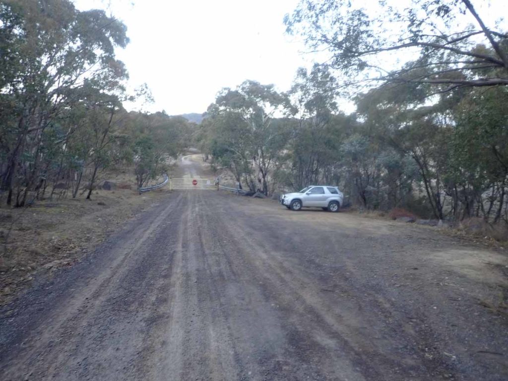
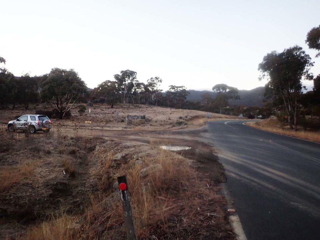
To do this walk you drive past the Glendale picnic area so we recommend you stop and use the toilet on the way past. The turn off to the trail head is about 750 metres further down the road on the left hand side. You will turn off the Boboyan Road onto the Brandy Flat Road with the trail head being located nearby a locked gate around 150 metres off the main road. Park the car and walk back up the way you drove in for about came 50 metres to the signposted walking track on the left hand side of the road (as you came in).
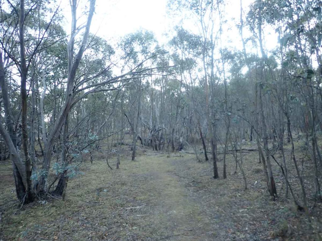
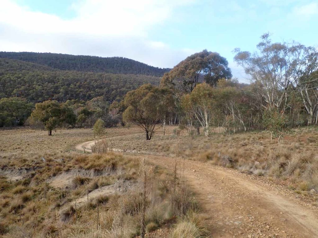
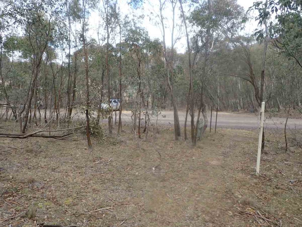
The first 1.5 km of the trail is very well signposted and takes you through open eucalyptus forest before joining the fire trail. From here you follow the fire trail to your destination of Brandy Flat Hut. There is limited signage past the first 1.5 km and I must admit I was thinking that I had missed a turn off as the old track notes you will find online says this walk is a total of 8.5 km. Neither of my two GPSs agreed with this. In fact the walk ended up being a total of 12.3 km in length including my time wandering around the hut.
The trail itself is in good condition and while there are a few up hill sections it’s not an overly difficult walk even for the distance. I came across lots of kangaroos on this trail when I walked in mid winter and at this time the early season wattles had started to flower.
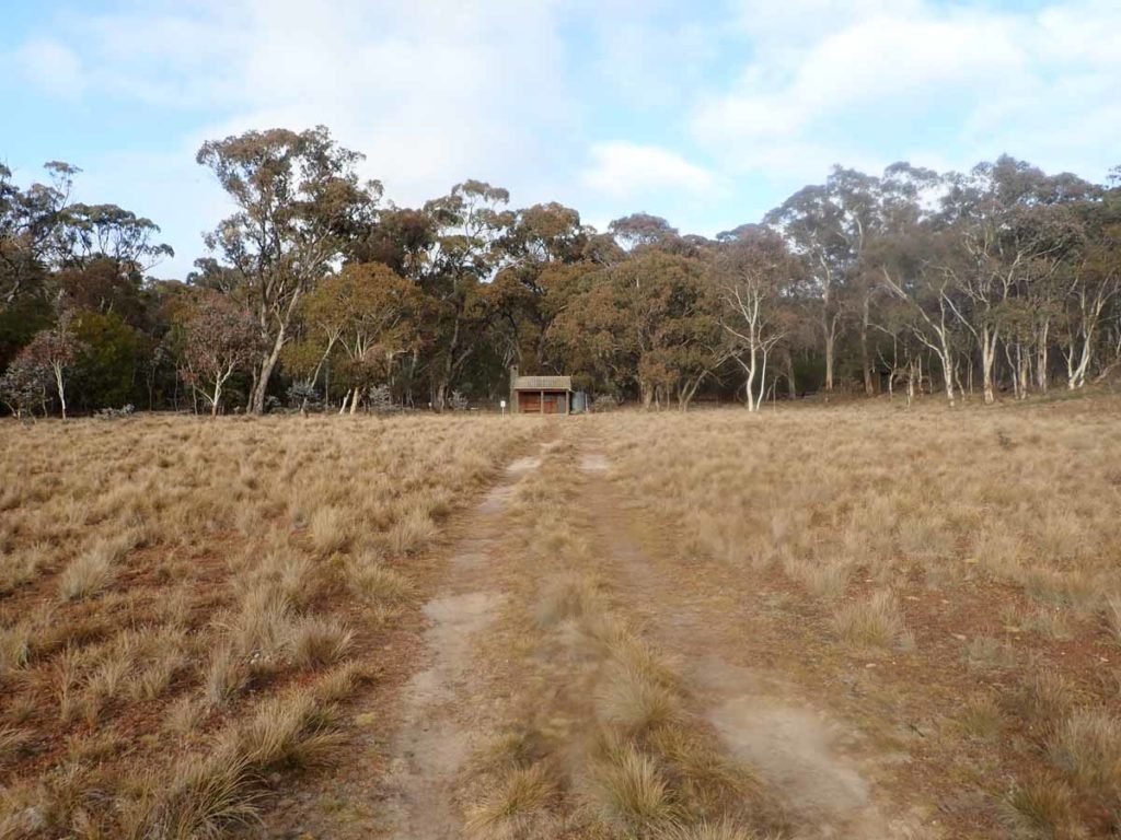
Brandy Flat itself opens out onto a flat section of valley with the hut being very obvious from a few hundred metres out. This is a pretty little hut that is well appointed and has a largish water tank and a pit toilet. Like the other huts in Namadgi National Park it is for day use/emergencies only and you are not supposed to sleep inside except in cases of emergencies. In talking to the local parks staff they would prefer you erect your tent a minimum of 500 metres away to help preserve the heritage values of the hut and the surrounding site.
This walk would make a great overnight trip and while located outside of the road closure zone further down the park, be prepared for snow in late winter if you are going to camp.
I love this lower section of the park and this walk has only confirmed this view.
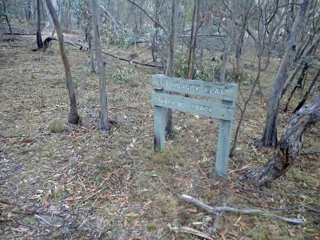
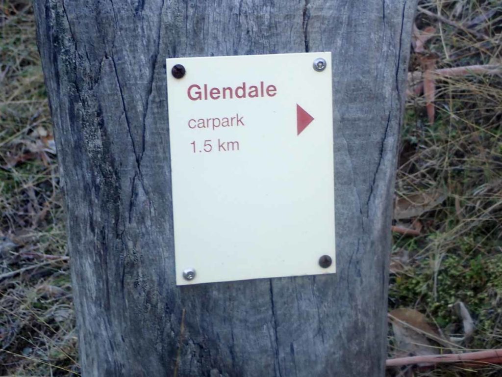
Trail head signage
The trail is well worn and usually easy to spot. In addition there are plenty of marker posts where needed
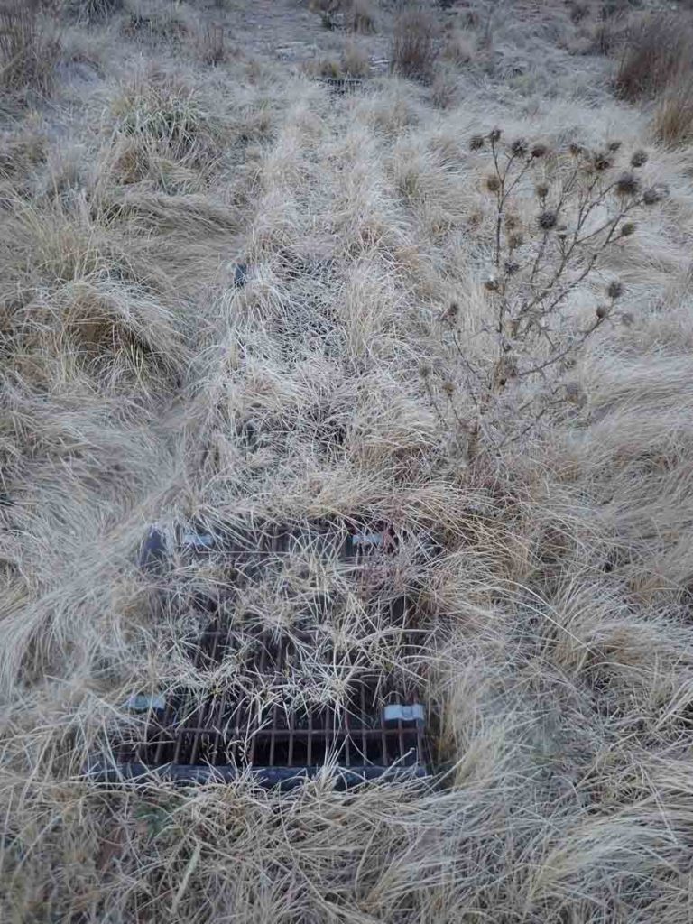
Overgrown mesh walkway
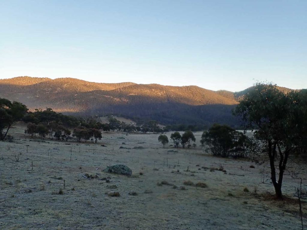
Early morning views
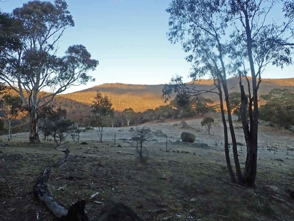
Love the colours and the textures during winter
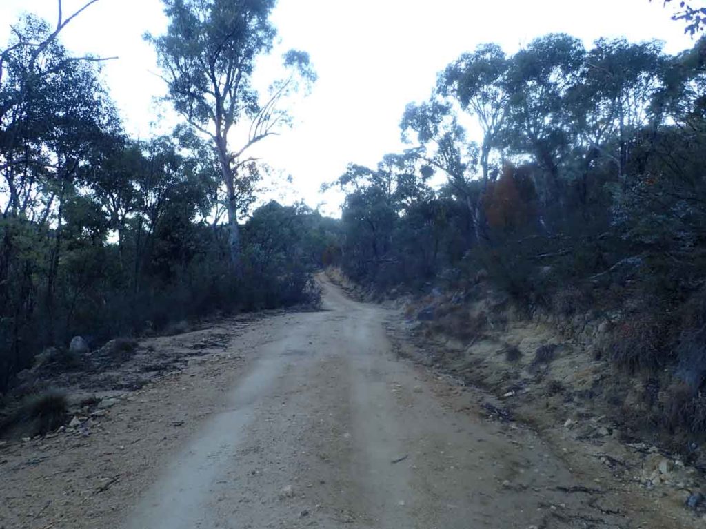
Fire trail example
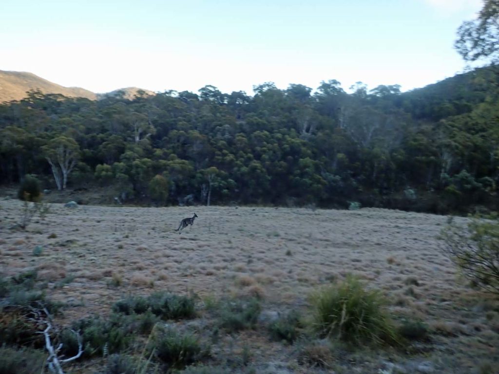
Lots of kangaroos
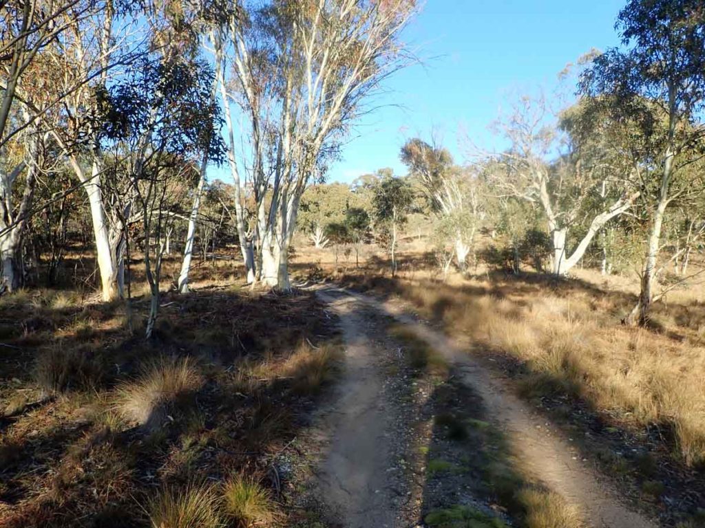
Trail example
Coming to Brandy Flat. the hut is just around the corner from here
Approaching Brandy Flat Hut
Brandy Flat Hut front view
Brandy Flat Hut side view
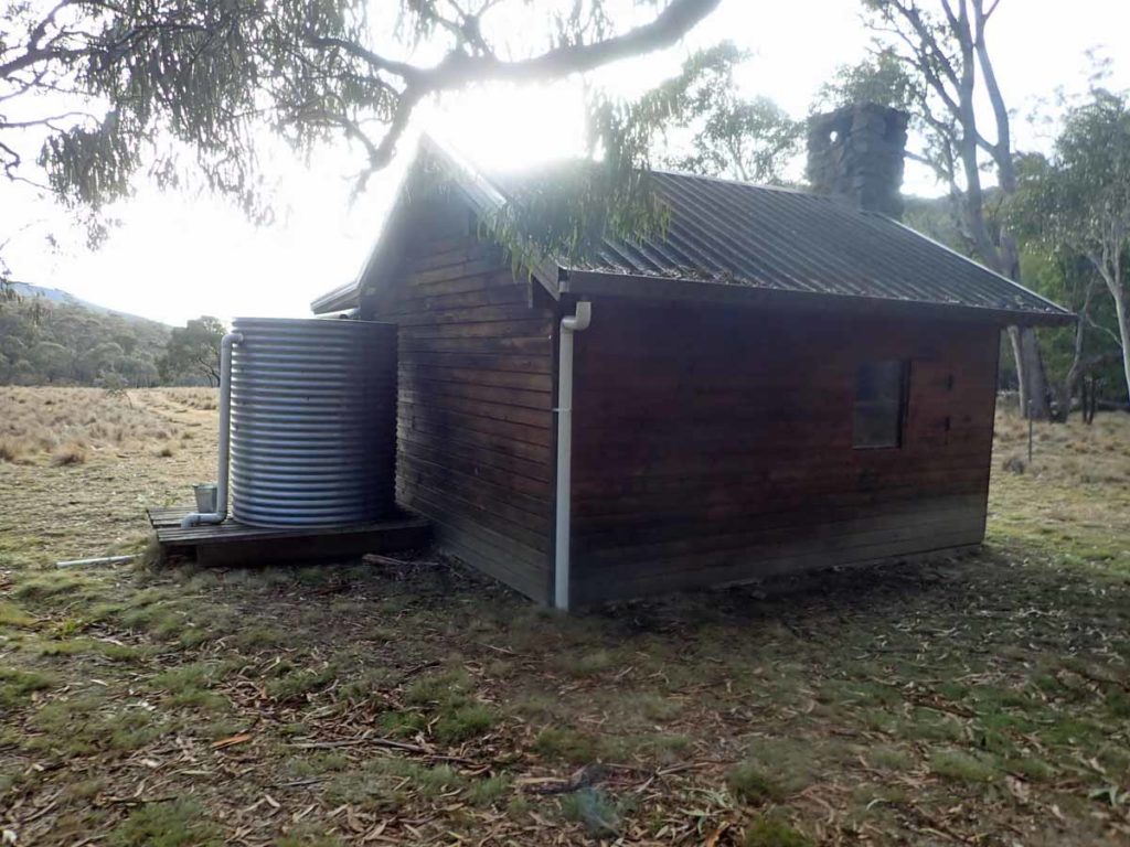
Brandy Flat Hut side and rear view showing the water tank
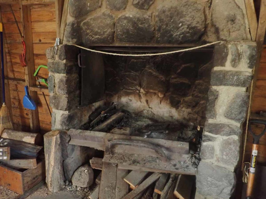
Fire place inside hut
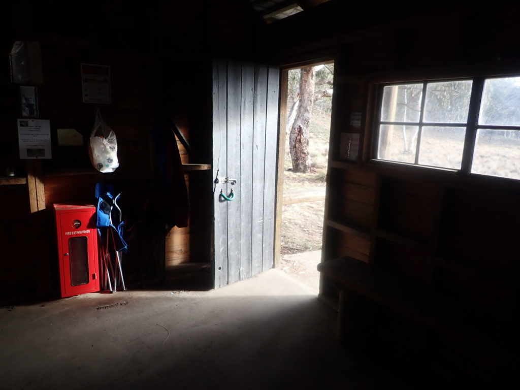
Heading outside
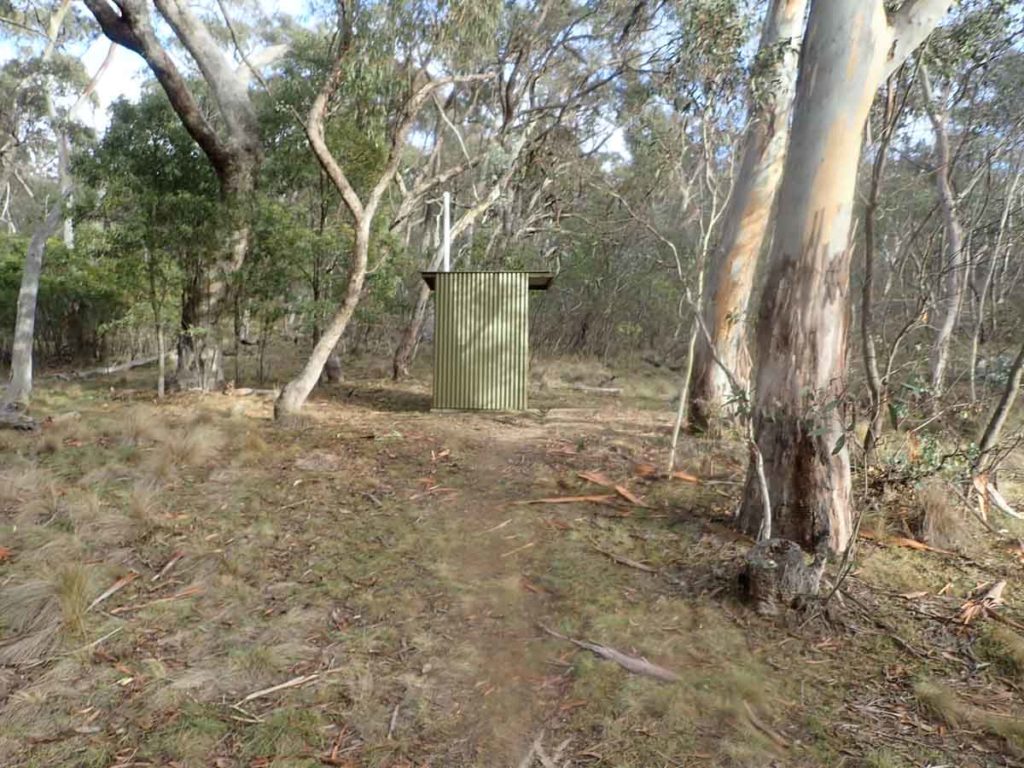
Toilet facilities at the hut
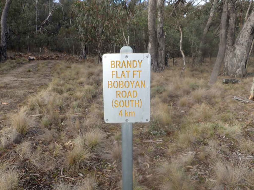
Signage to southern trail head
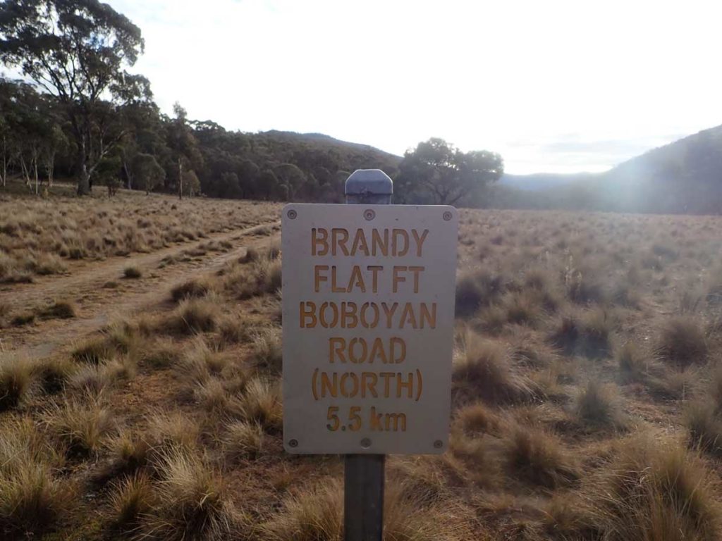
Signage back to northern trail head
Heading back to the car park
Back to the walk start
Like most other huts in the ACT the Brandy Flat Hut is for day use or for emergency use only so dont plan on sleeping in this hut
Getting There
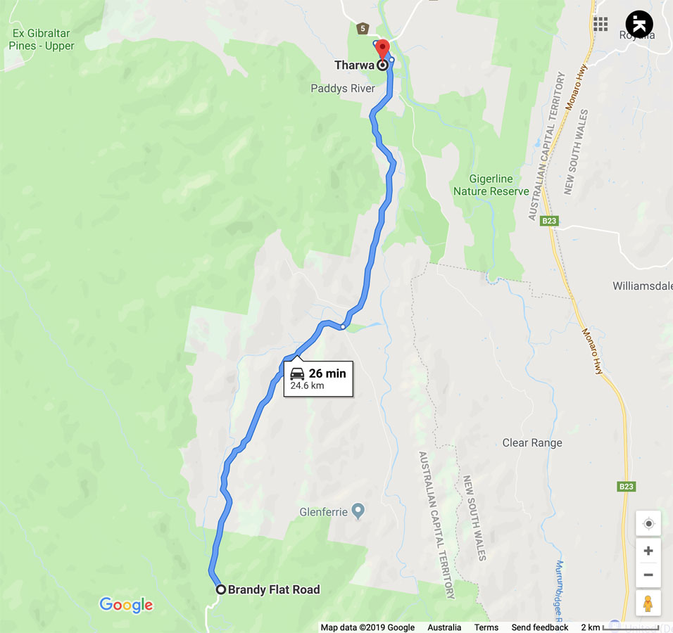
Google map showing the distance from Tharwa Bridge to the trail head on the Brandy Flat Road
- From the Tharwa Bridge head done Boboyan Road towards the Glendale picnic area
- Once you reach the Glendale picnic area, the turn off onto Brandy Flat Road is about 700 metres on the left
Turn off onto Brandy Flat Road
Trail head car park for Brandy Flat Hut
Trail head signage located on the left side of the road about 50 metres back towards the main road
Things to Know
- Phone: There is good phone coverage on this trail at Brandy Flat Hut but variable on the rest of the trai
- Water: You need to bring your own water or rely on the water tank at Brandy Flat Hut (bring a water filter)
- Toilets: There is a toilet facility at Glendale which is approximately 1 km from the trail head. There is also a toilet at the hut
- Trail: This trail consists of management road
- Dogs: Dogs NOT allowed
- Camping: Camping allowed but ideally away from the hut
- Other:
- This walk can be done in a number of direct ways
Disclaimer
This walk was undertaken by the team from Australian Hiker