Orroral Ridge-“Sentinel Rocks” ACT (3.9km)
Namadgi National Park
Starting Location
Orroral Ridge Car park accessed via the camp ground at the old Honeysuckle Creek Space Tracking Station
Finish Location
Orroral Ridge Car park
Best Time to Travel
Year round although spring will have more wildflowers. If you are doing this walk in mid winter start later in the day or pick a day that doesn’t have fog to get the great views
Orroral Ridge-"Sentinel Rocks" Walk Summary
Orroral Ridge, also known as the “Ridge of Stone” is a site that consists of two seperate walks that can be easily done in a single day if you have the time however this ridge line of large granite boulders is definitely a walk of two halves.
This walk down to Sentinel Rock is by far the more popular of the two walks on this ridge line and if you happen to do the walk to the Belfry then this will be very obvious. However if you are into rock climbing or bouldering then both walks have there charm.
You start your walk to Sentinel rock at the Orroral Ridge car park and at the end of the carpark you will notice two white walking signs. The walk to the left down to the Belfry and this walk to Sentinel Rock is on the right. Both walks are a similar distance but this walk is far easier as the trail is more heavily used and doesn’t contain the sheer number of side trails generated by rock climbers that the Belfry Walk does.
The best way to describe this walk is as a series of rock formations that dot the ridge line, hence the name “The Ridge of Stone”. It is very easy to spend hours just weaving your way out of the various large rock formations that dot this trail and at some stage in the past the formations have been given imaginative names such as Legoland, Opera House Cave (also known as the Spinnaker), Trojan wall, and the turnaround point to this walk, Sentinel Rocks.
By far the best views on this trail, and also the easiest to access are at the are known at Trojan Wall which is about 1.4km into the walk on the left hand side of the trail. You can access the cliff face quite easily (so be careful) and have some spectacular views onto the Orroral Valley below. Your view of the valley below also gives you an aerial view of the 18-19km Orroral Valley Circuit walk.
From the Trojan Walls head a further 80 metres along the trail to the very obvious Sentinel Rocks. The rock formation along with the Belfry provide bookends to this ridge line. The views from here are not as good as those from Trojan Walls but given how close it is its worth a look although you will have to do a bit of bushbashing to get to the vantage points which are located at the far side of the rock.
Once you have had your fill of the views of the valley below head back towards the car park and if you are feeling up to it do the second walk the the Belfry on the left hand side of the car park.
If you are planning on doing both walks in the same day I would suggest that you do the Belfry first as it is more difficult and then take your lunch with you to eat while you enjoy the views. There is no signage on this trail but the walk is very apparent for almost its entire length although you do need to pay attention at Opera House Rock so that you find the worn trail coming off the rock platform.
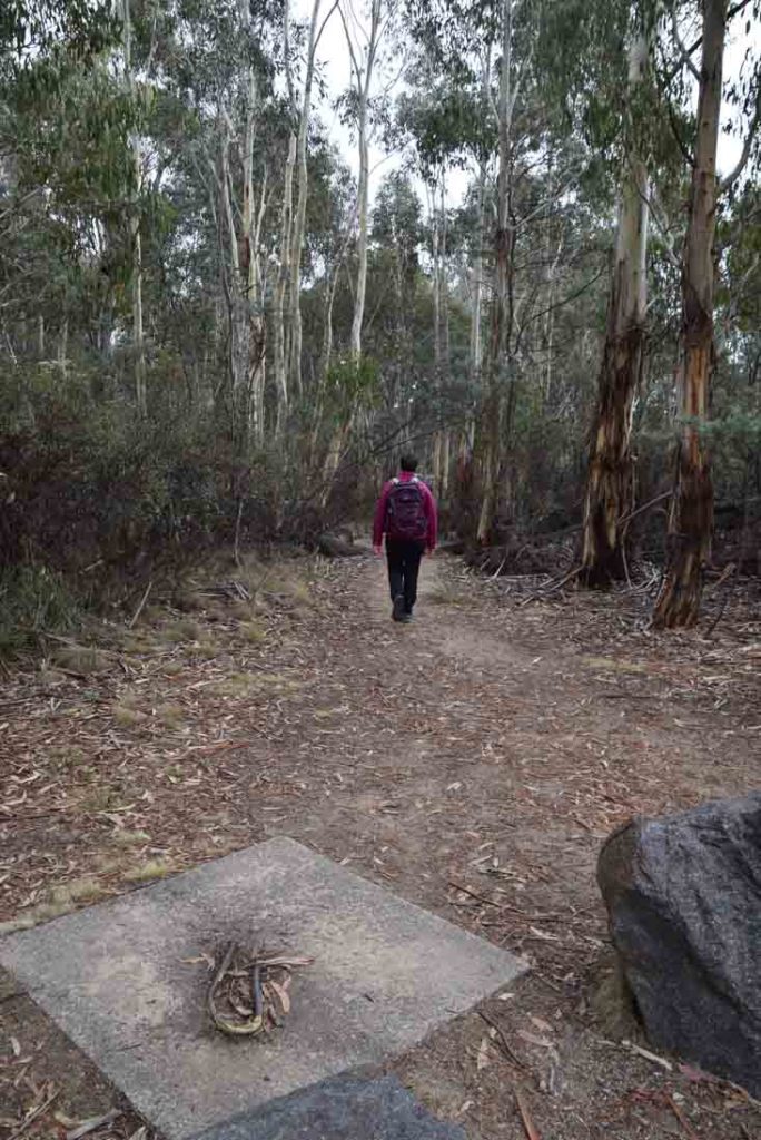
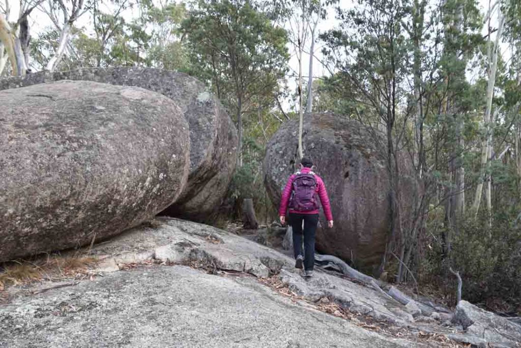
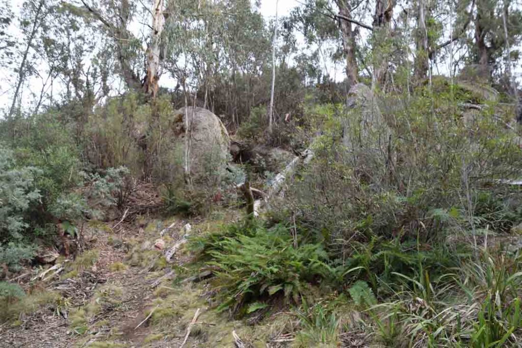
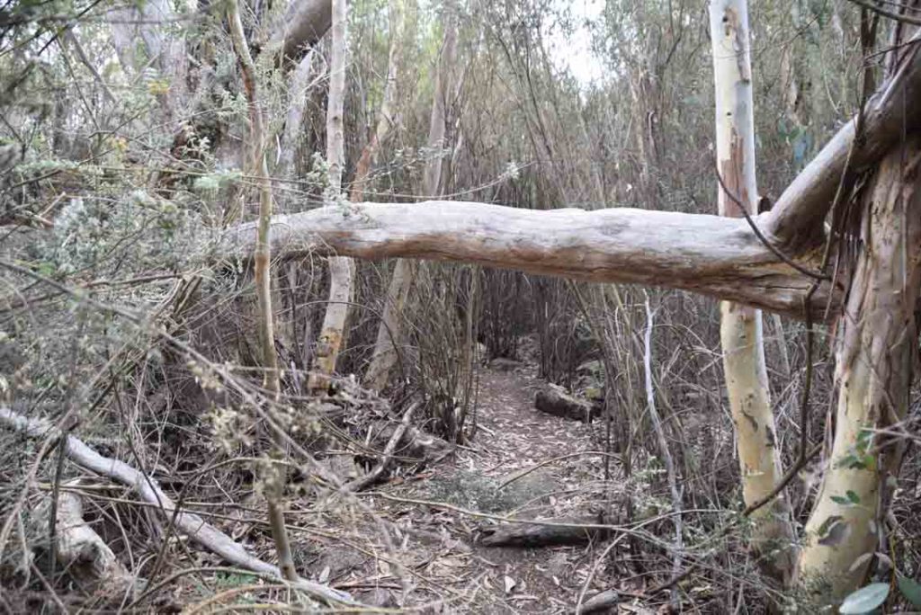
The trail to Sentinel Rocks is well worn for most of the way. Take the trail to the right hand side of the car park to start your walk
Trail example
Approaching Opera House Cave
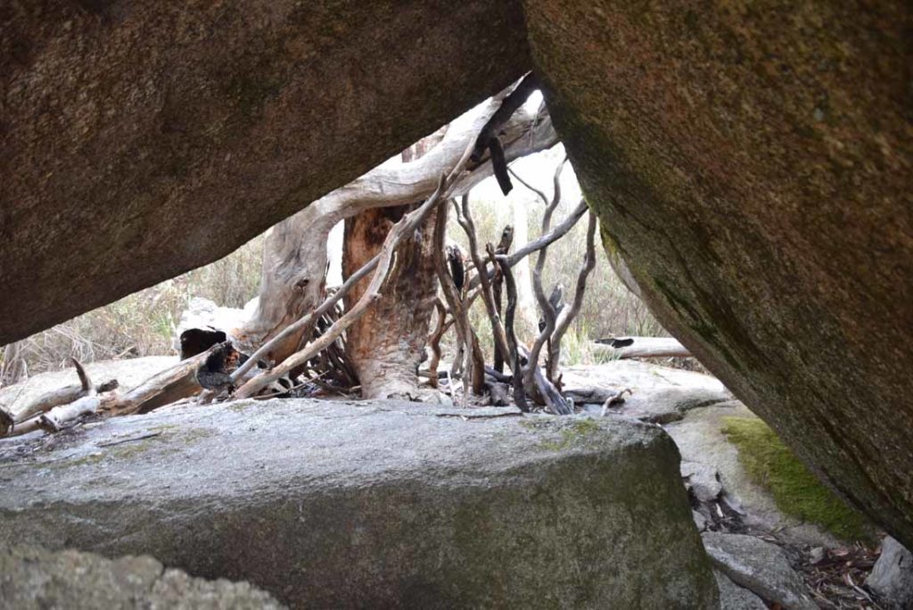
Opera House Cave end. Not really a sealed cave but reasonably rain proof
Leaving point from Opera House Cave. The trail continues just at the end of this rock formation
Trail example after Opera House
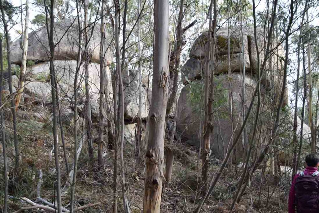
More Rock formations
Approaching Trojan Wall
Coming out to Trojan Wall
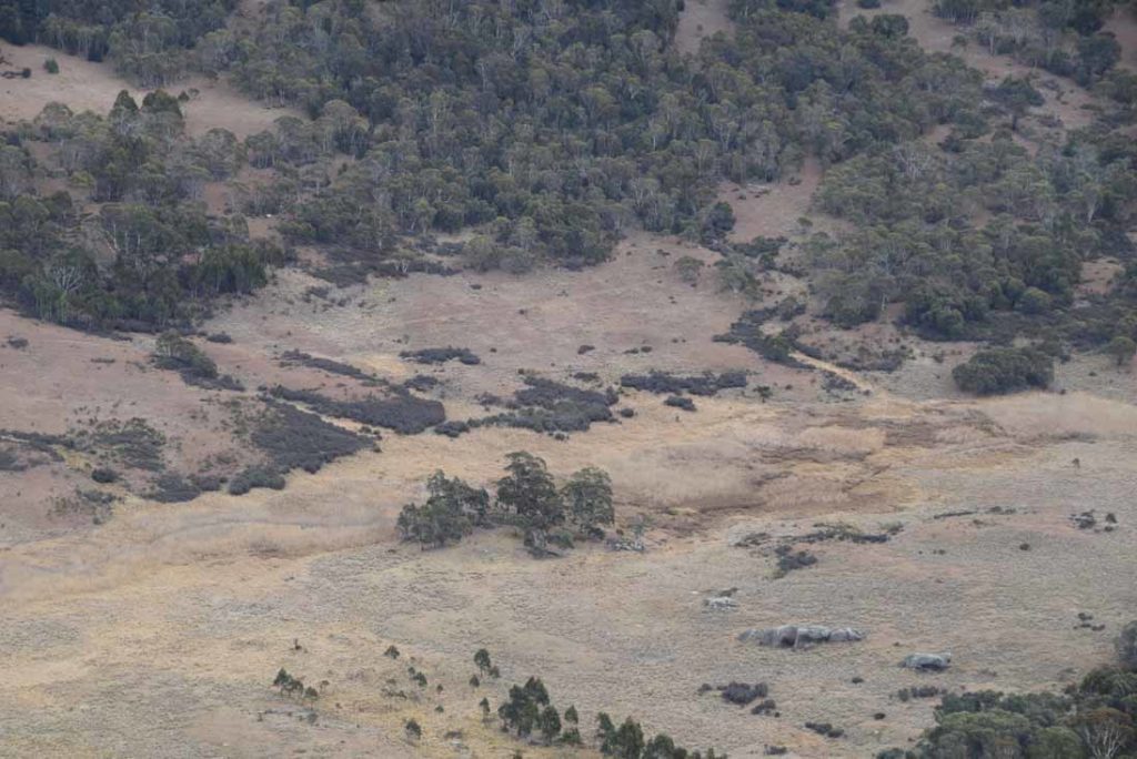
View down into Orroral Valley below. the Orroral Valley Circuit takes you through this area
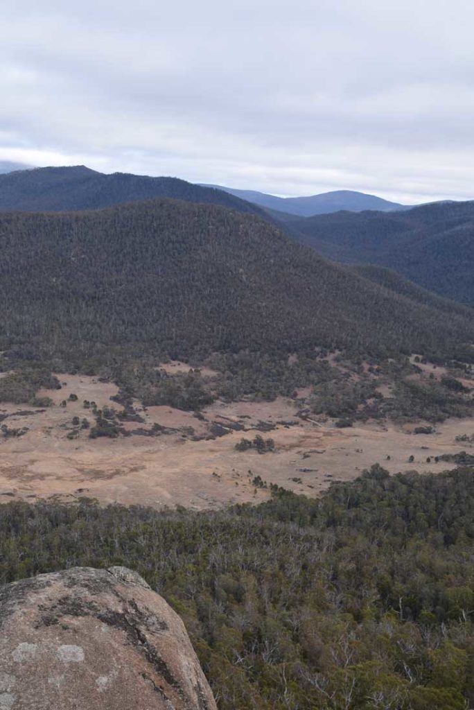
View off into the Bimberi Wilderness having done the walk to Cotter Flats which is on the Australian Alps Walking Track I was able to spot the management road section as it wound its way up into the hills
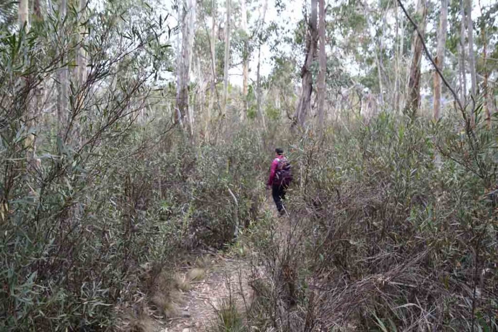
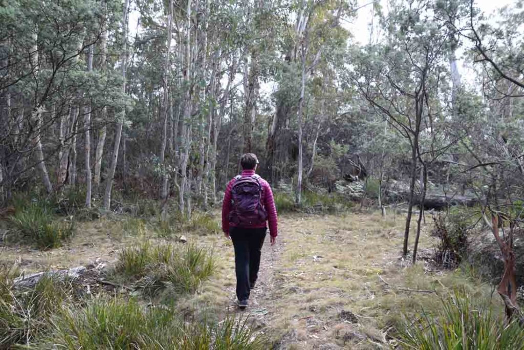
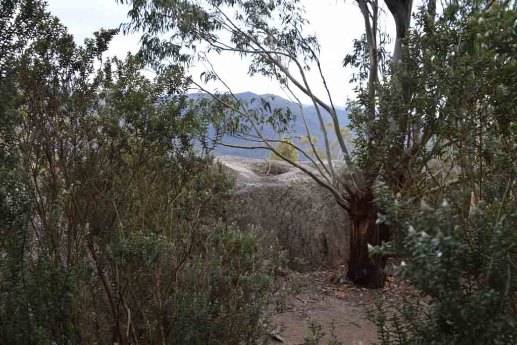
Trail example. most of this trail is very easy and clear with just a few rough patches
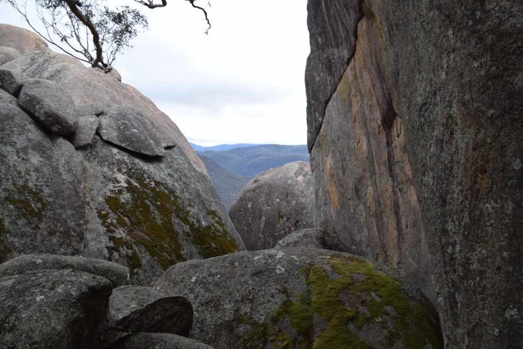
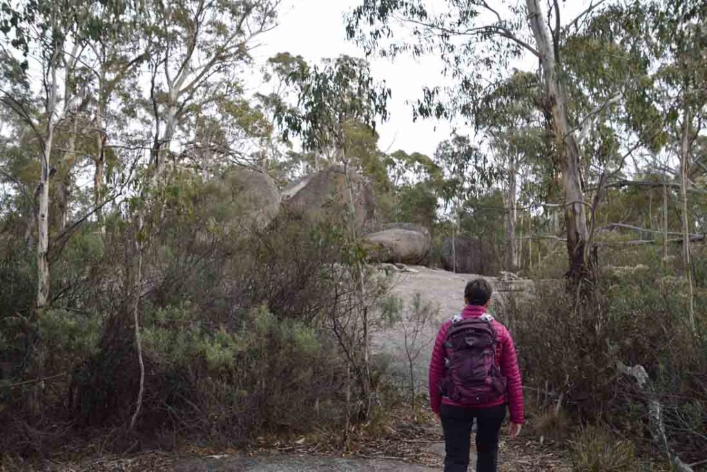
View from the left side of Sentinel Rocks. There are better views from the right side but this requires some bush washing
Back to the car park
Getting There
One of the hardest things about this walk is getting to the car park to start the walk. The access point to the Orroral Ridge Road is located inside the camp ground at the former Honeysuckle Creek Tracking Station complex which has an excellent carpark and facilities for overnight visits.
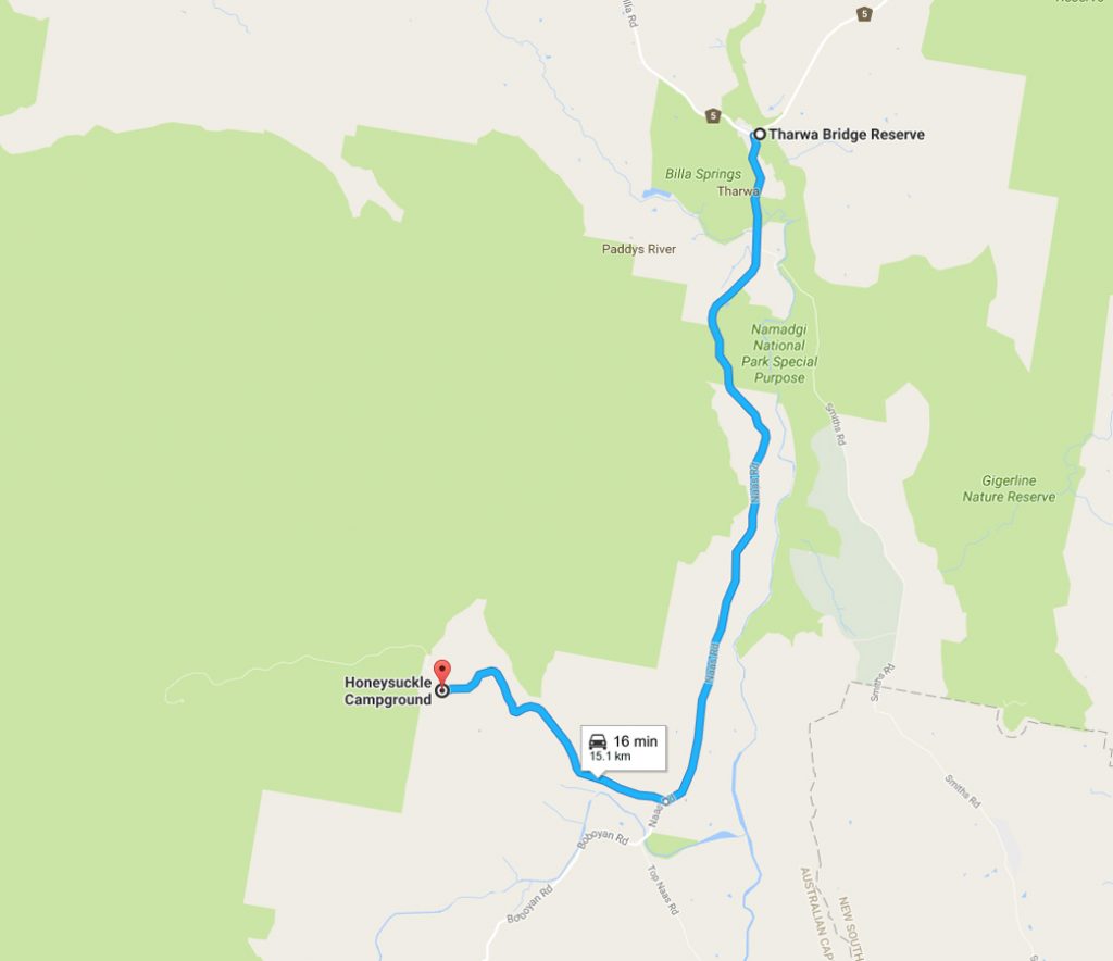
To get to the Honeysuckle Tracking Station drive from Tharwa approximately 15 km from the Tharwa Bridge along the Naas Road and turn right off Naas Road onto Apollo Road. Drive to the end of Apollo Road which finishes in the Honeysuckle Creek camp ground. There is ample parking most of the year and usually close by the access point to the trailhead.
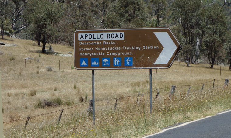
Turnoff to Apollo Road
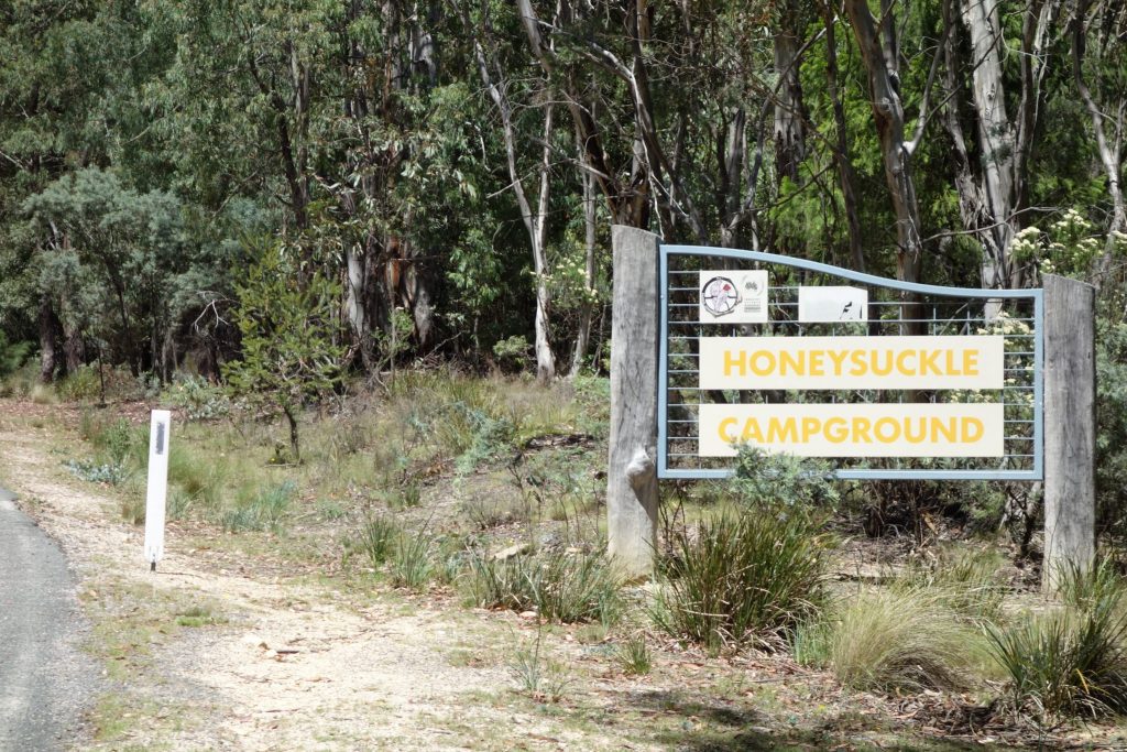
Entry into the camp ground
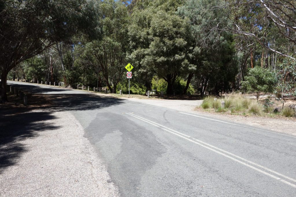
Take the first right hand turn after entering the carpark
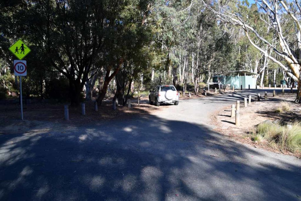
Road to Ororral Ridge located just before the toilet and BBQ area at the Honeysuckle Camp Ground
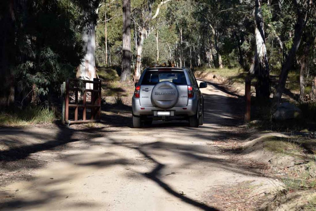
Gate onto the Ororral Ridge Road
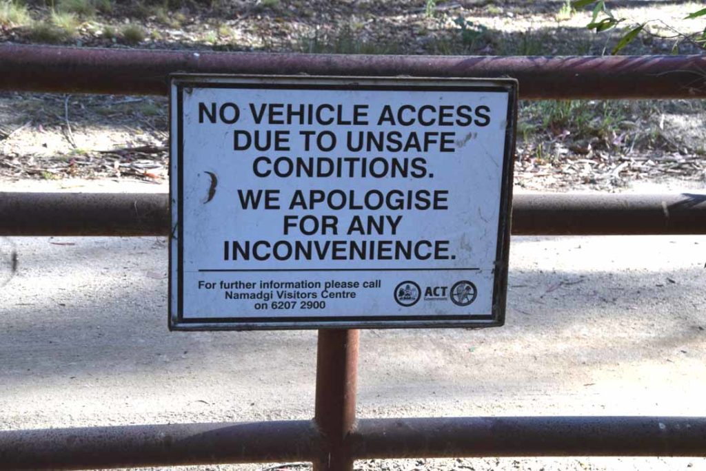
This road will be closed if the conditions are considered unsafe for vehicles. If the gate is closed and you still want do the walk then you will have a 4.2km walk to and from the trailhead if you are feeling enthusiastic
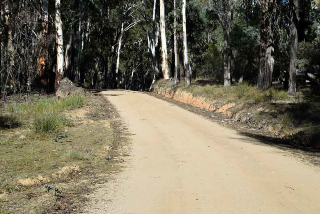
Ororral Ridge Road is very well maintained and is suitable for all types of vehicles
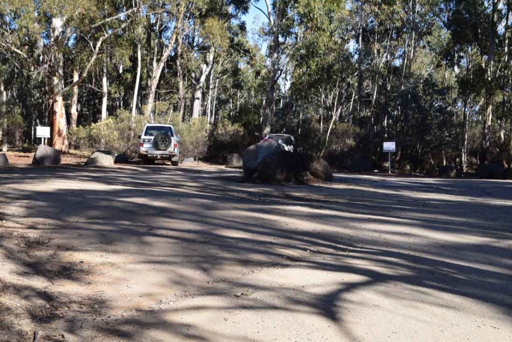
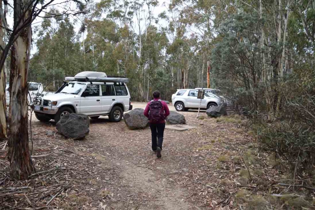
Ororral Ridge car park. The white signs mark the access points for the two walks at this location. The access point on the right will take you to Sentinel Rocks. If you tun to the left you will be heading towards the Belfry
This car park will comfortably fit 10-12 cars
Things to Know
- Phone: There is reasonable phone signal as this walk is at the top of a ridge line (Telstra), data signal is variable
- Water: Water is available at the Honeysuckle campground
- Toilets: Toilet facilities are available at the Honeysuckle campground
- Trail: This walk is on formed trail
- Dogs: Dogs not allowed
- Camping: Camping allowed
- Other:
- The access road to Ororral Ridge may be closed if the road conditions are considered bad so either come prepared for an additional 8.4km walk or have an alternate walk planned
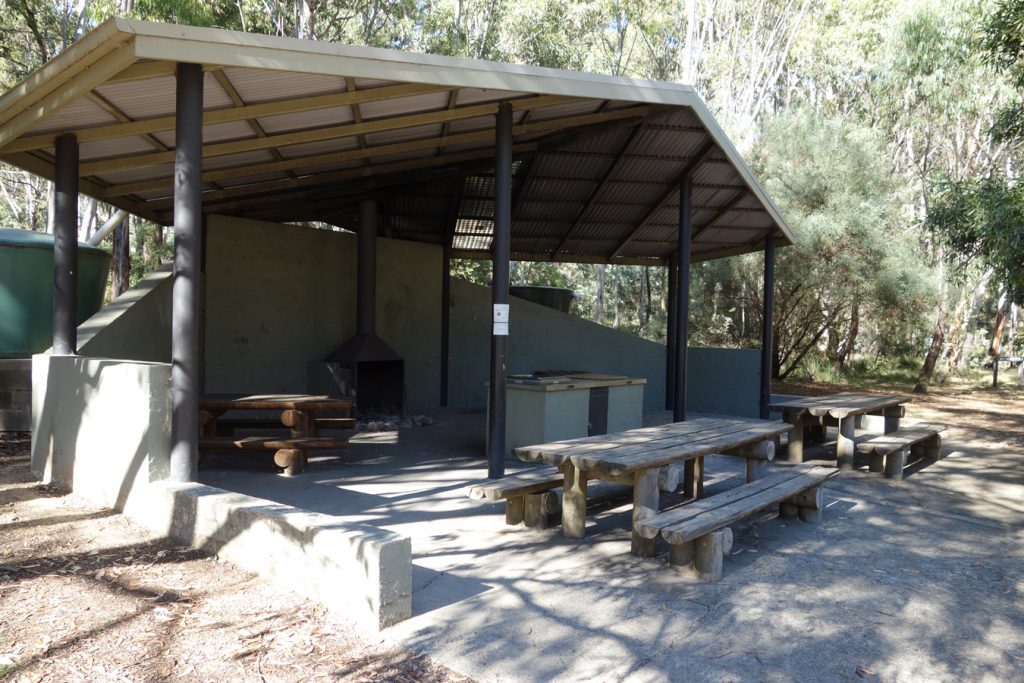
BBQ area and water source located at the Honeysuckle Creek camp ground. The toilet facilities are located to the left of this image
Disclaimer
The walk was done by the team from Australian Hiker