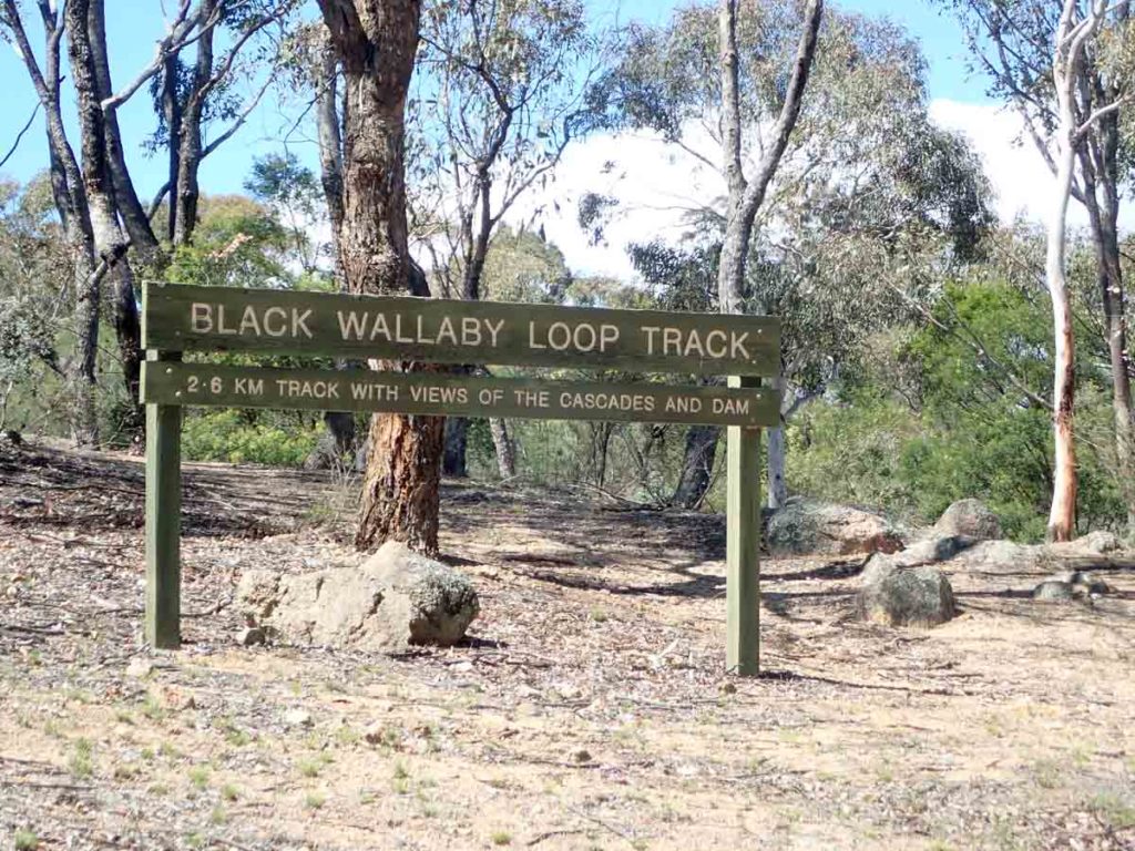
Black Wallaby Loop Track NSW (2.5 km)
Googong
Nearest Town
Googong via Queanbeyan
Starting Location
Downstream Picnic Area Googong
Downstream Picnic Area car park
Finish Location
Downstream Picnic Area Googong
Best time to Travel
Year round
Black Wallaby Loop Track Summary
The Googong area is not well known as a hiking area in Canberra often being overlooked in favour of walks in Namadgi National Park, the Corin Dam region and Tidbinbilla Nature Reserve. In fact just to be clear Googong is actually located in NSW however as part of the main water supply for Canberra and the region it is under ACT management which is why when you look for information on this site it is on a ACT, rather than NSW website. What the Googong area lacks in high profile walks it makes up for with a set of walks that are geographically closer for those living in central and North Canberra so if you want a walk with less travel involved then this area may be for you. Googong is now a rapidly expanding residential area with approximately 3,000 people so its actually quite strange to be heading ‘out bush’ and then all of a sudden pass a community bigger than many small Australian towns.
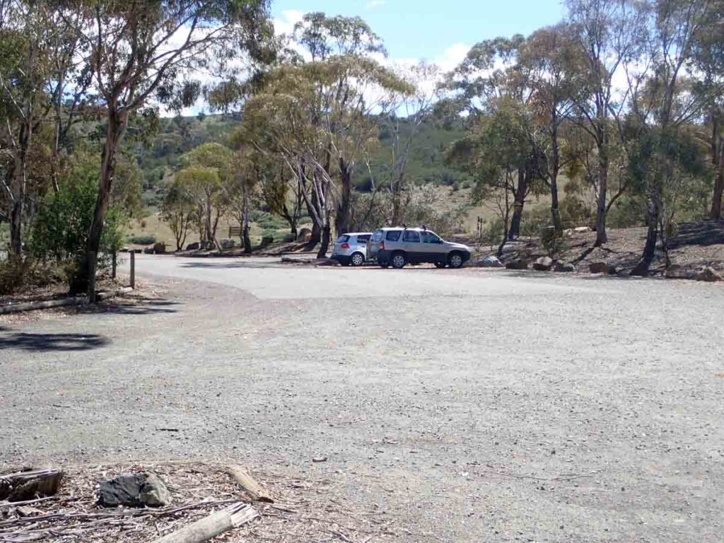
One thing to note with this walk is that it is a gated walk and is usually open between 8:00am-5:00pm so remember this if you are close to those times you don’t want to get locked in at nighttime. You start the walk from the Downstream Picnic area that includes the 200m Cascades Walk, and the 14.5km Bradleys Creek Walk. Head to the end of the car park where the picnic shelter is located (closet to the road you came in on) and follow the trail up up a short hill before crossing the road.
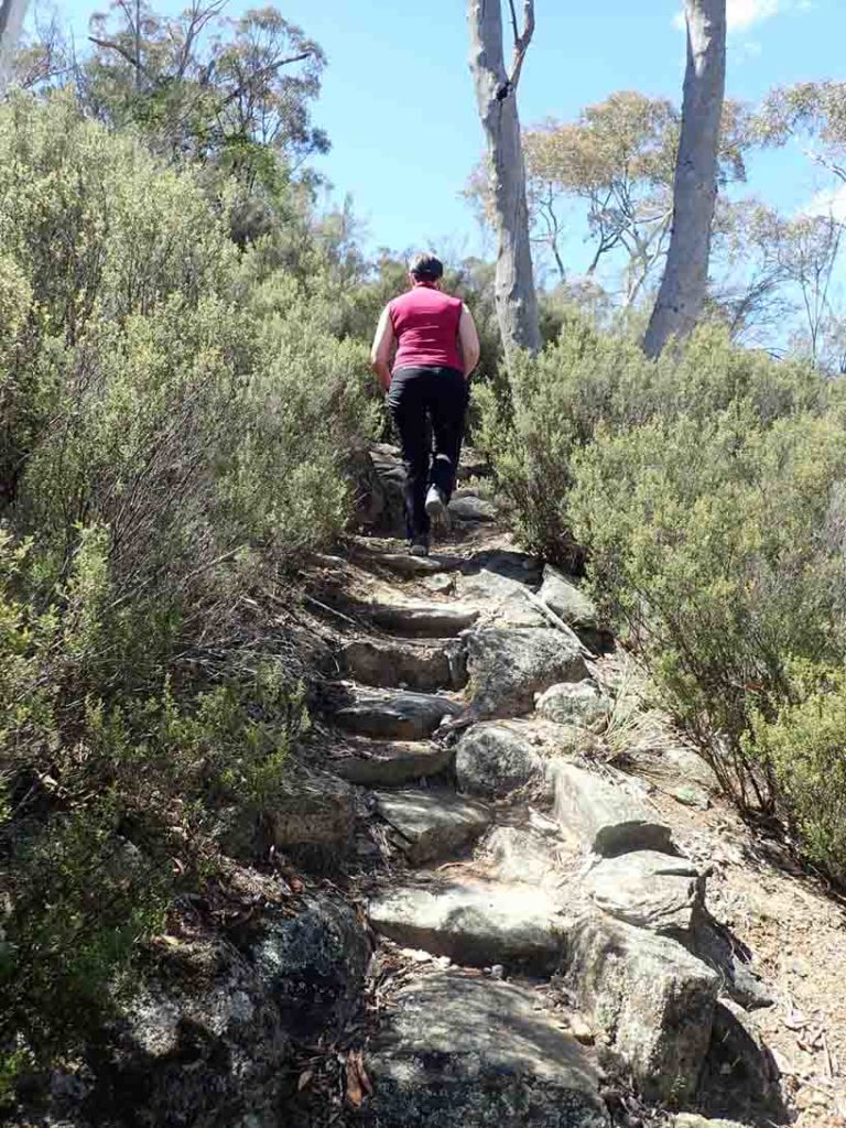
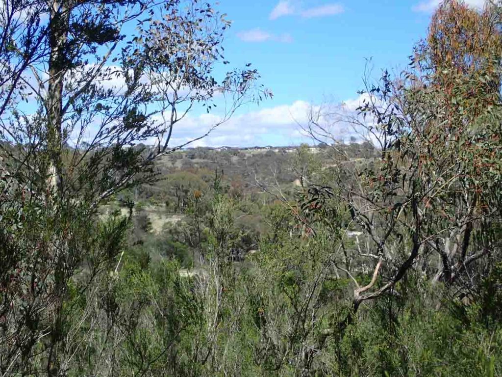
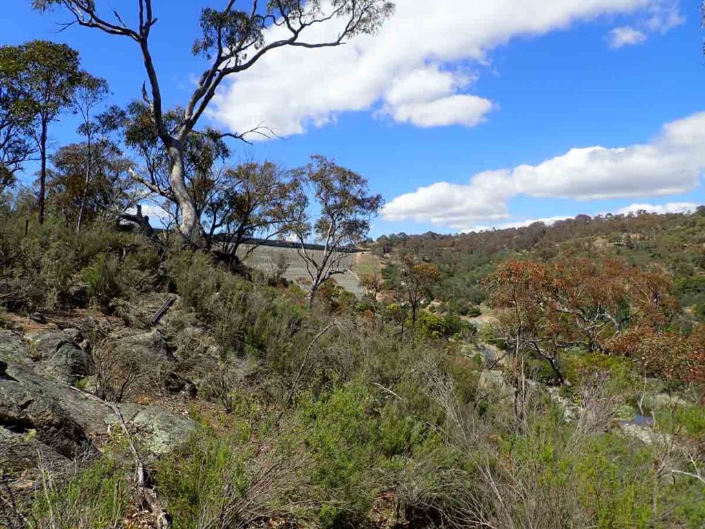
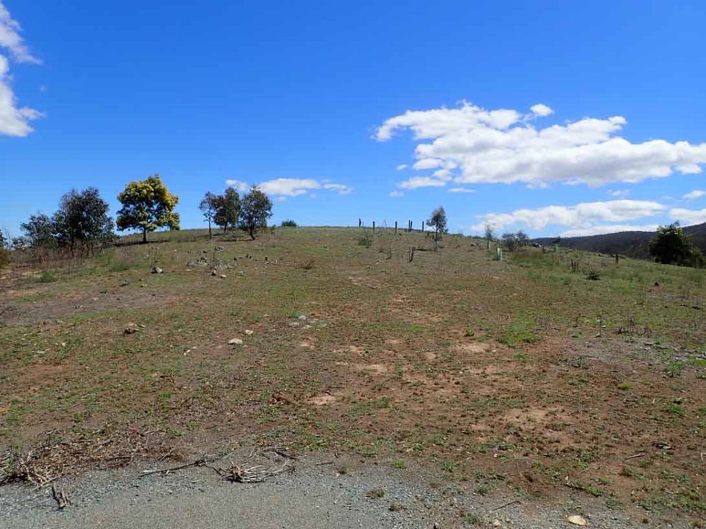
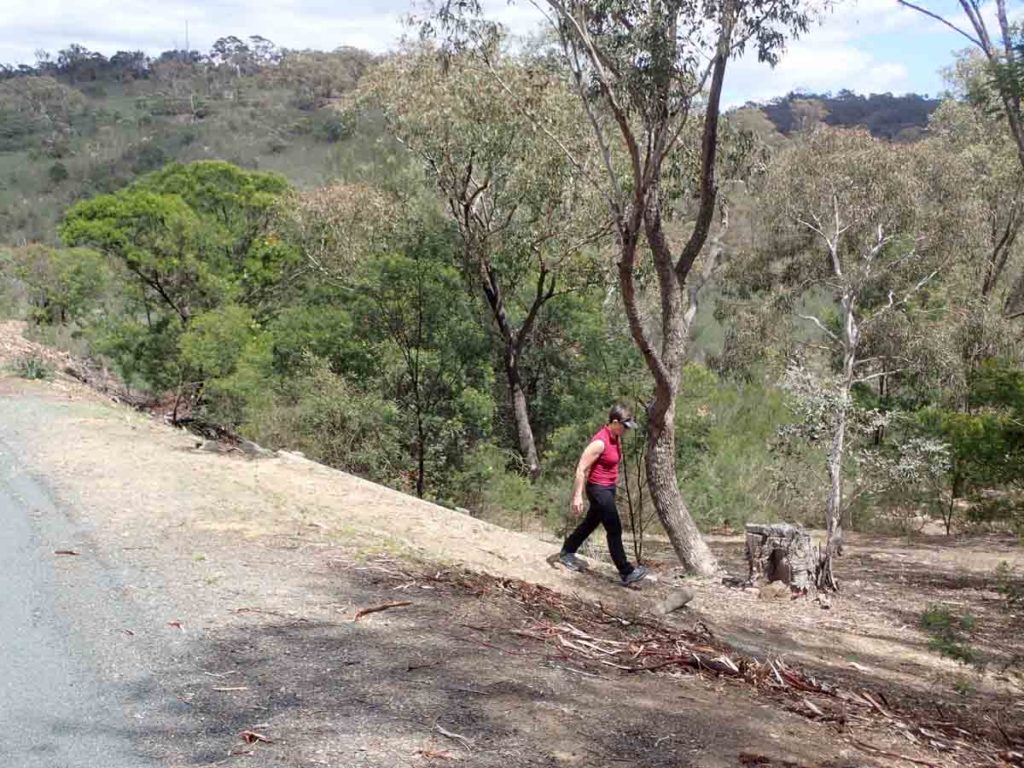
The trail is obvious for most of the walk and uses a green printed wallaby sign to direct you. As you head uphill towards the Googong Dam wall you will have views over the surrounding bushland and on the adjacent hill you can just make out the Googong residential area. As you reach the summit you will pass a fenced are which is designed to keep you away from the dam wall. At the top if the road where the dam becomes obvious the trail is actually a bit vague and you will need to head up the hill to the left of the road which is where you pick up the signage again. Follow back down the slope and you will collect up with the road that takes you back towards your starting point. essentially you are doing a loop around the hill.
This is by no means a spectacular walk but is worth doing at least once particularly if you are short of time for a longer walk. Its also a great 2nd walk for the day. There’s descent BBQ and picnic facilities at the carpark along with toilet facilities so plan on doing this walk just before or just after lunch to make a bit of a day of it. Allow around 45minutes to an hour to complete this walk and to take in the views over the dam and surrounding bushland.
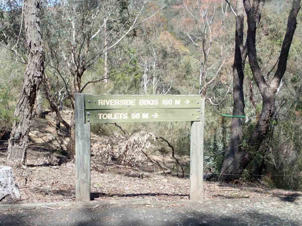
Directions to the toilets and an alternative picnic area
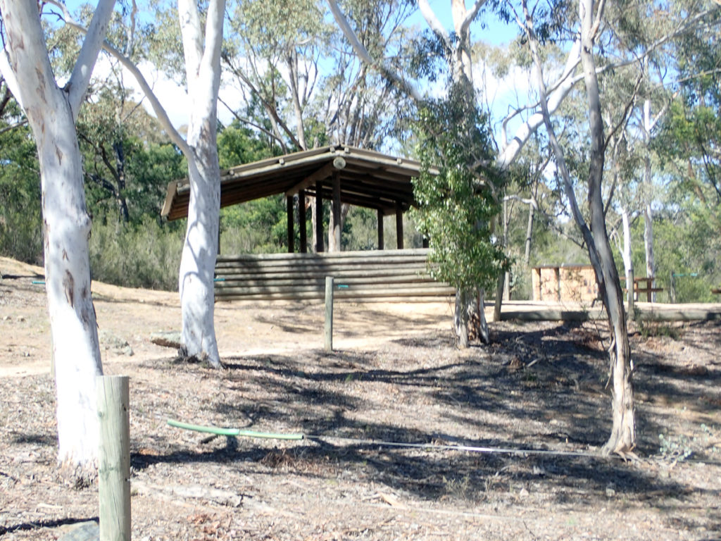
Picnic area at the trail head car park
Black Wallaby Loop Track trail head located at the picnic shelter end of the carpark near the road you drive in on
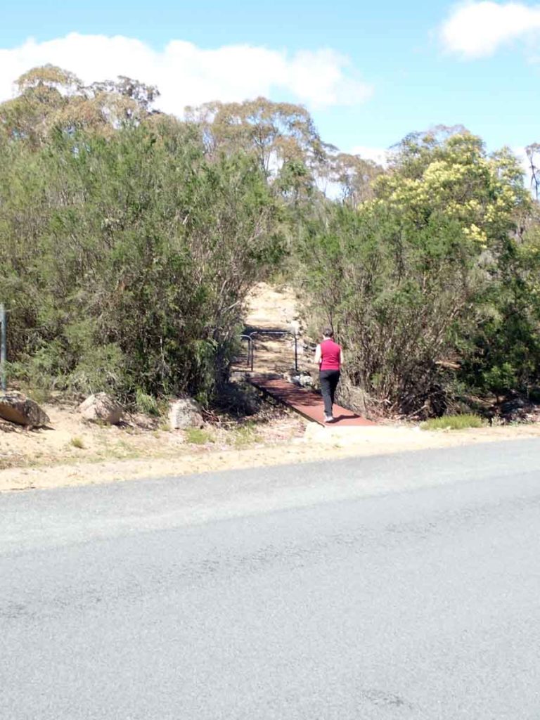
Cross the road to start the trail
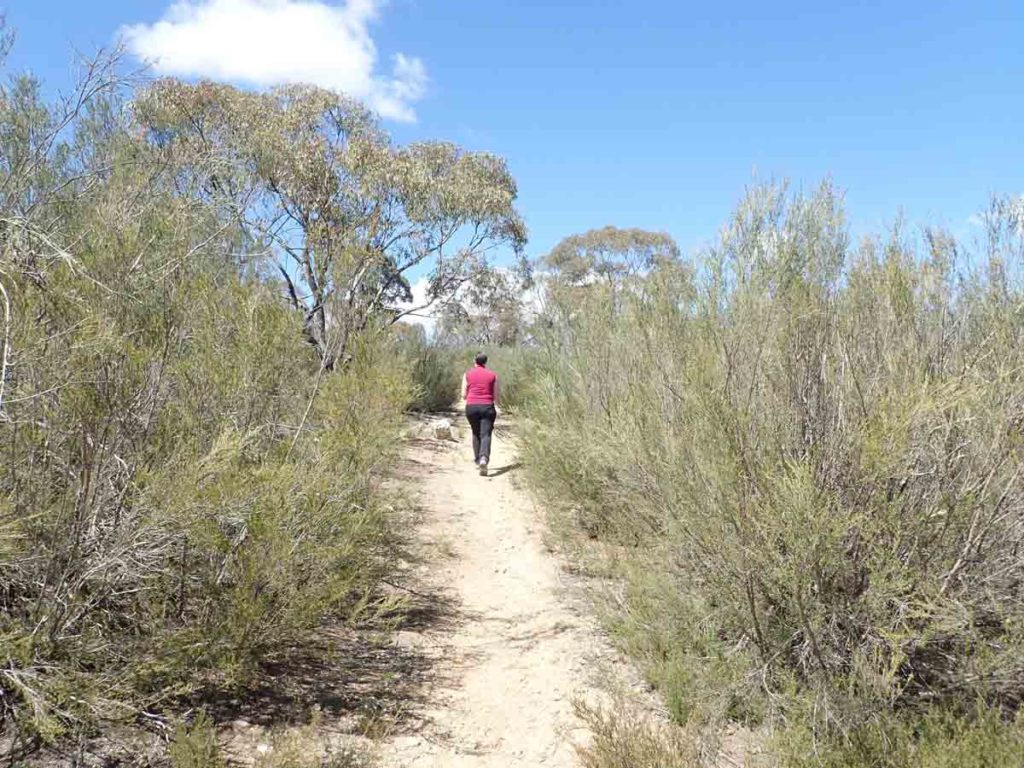
Trail example
Trail example
Googong residential area off in the distance
Googong Dam Wall
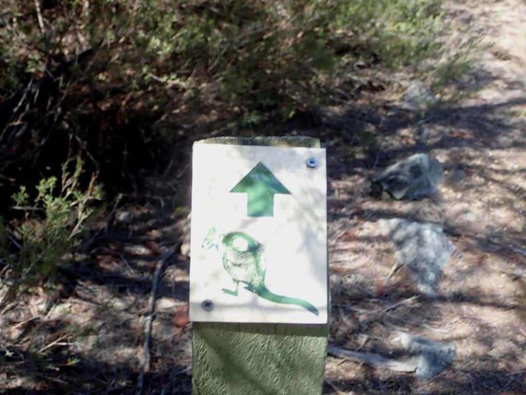
Trail signage
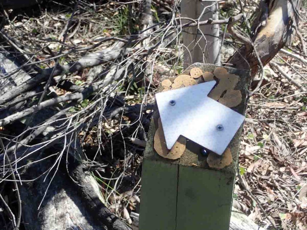
Alternate trail signage
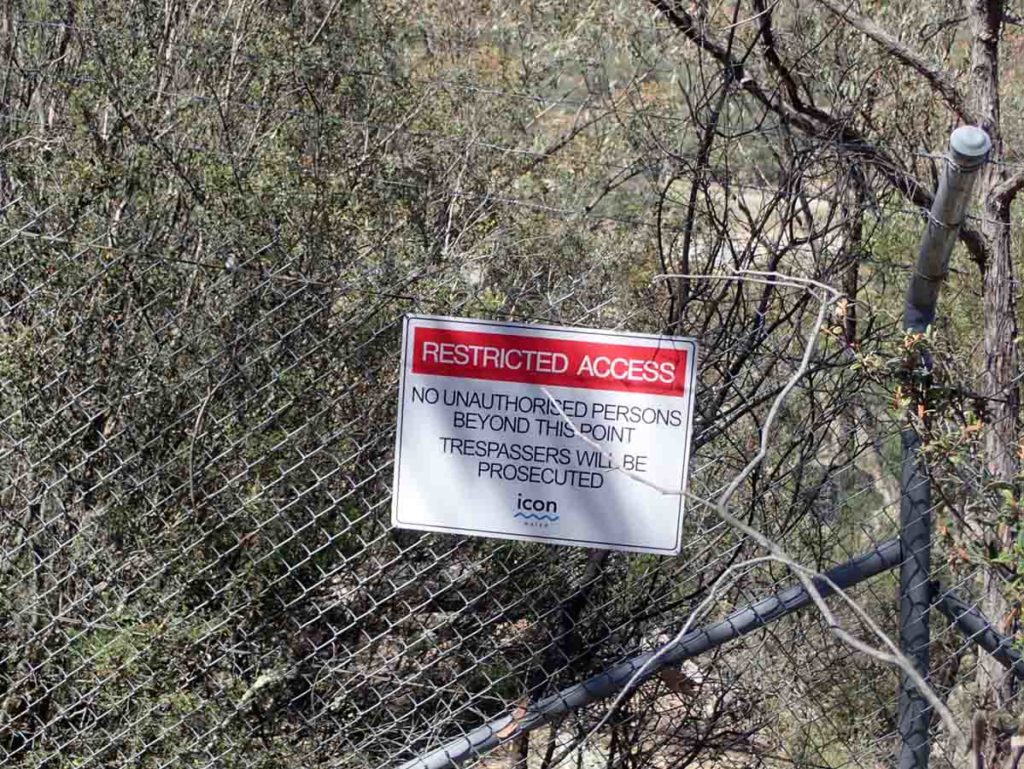
Keep out!
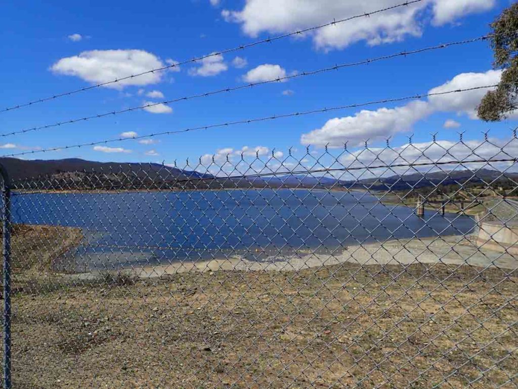
Googong Dam
Head up towards the top of the Hill once you reach the dam
Views from the summit of the small hill above the dam
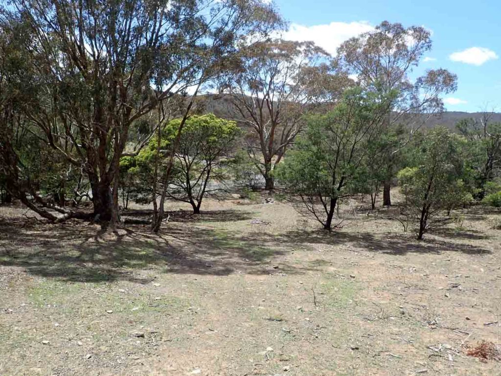
Head down the hill from the little summit
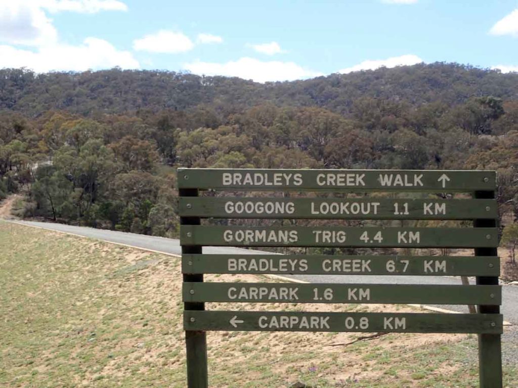
Turn left at this sign and the road will take you back to your car
Take the little spur off the road back into the car park
Getting There
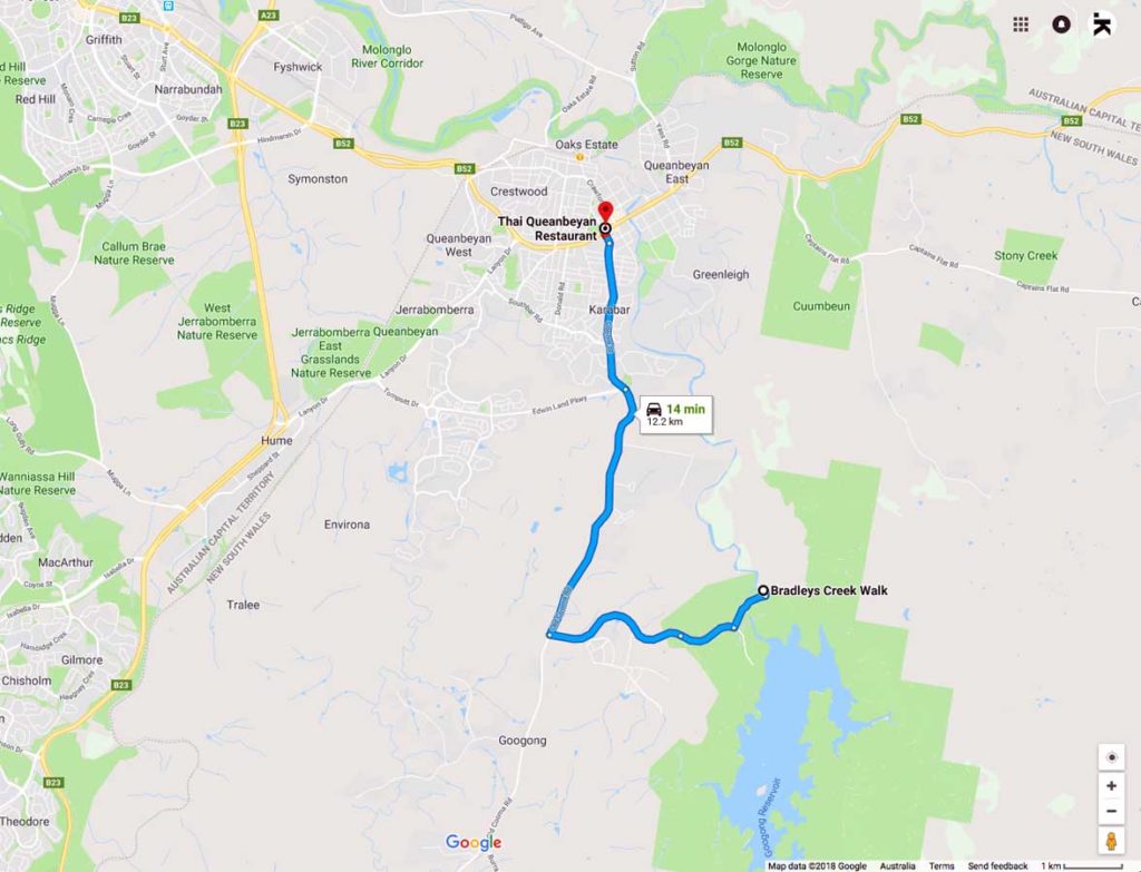
Google Map to the Downstream Picnic Area at Googong
How to get There: Head through Queanbeyan then on towards Googong. In early 2019 extensive road works were being undertaken to provide a major upgrade to this road so depending on when you travel the road may look a lot different
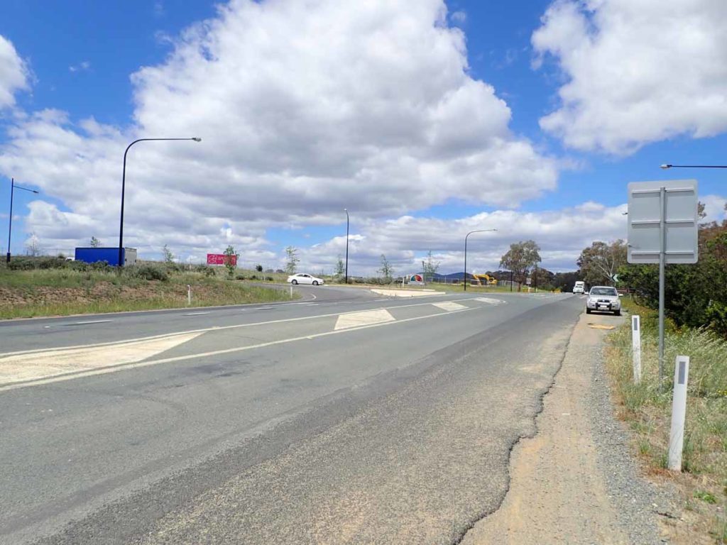
Turnoff to Googong
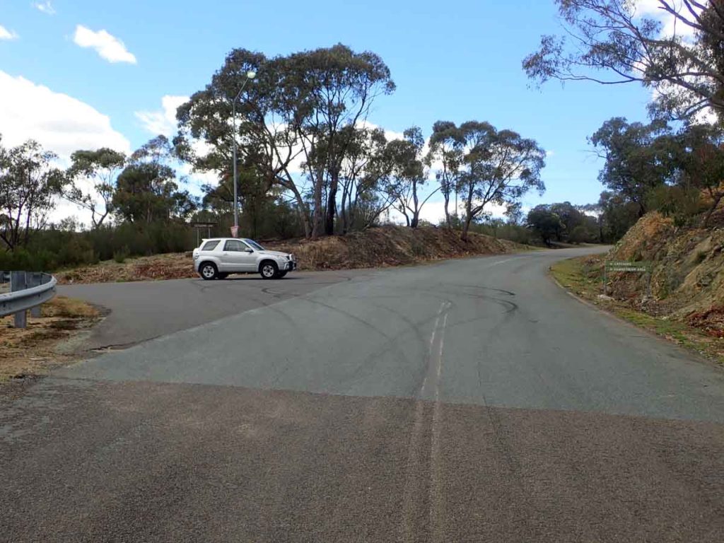
Turnoff to the Downstream Picnic Area
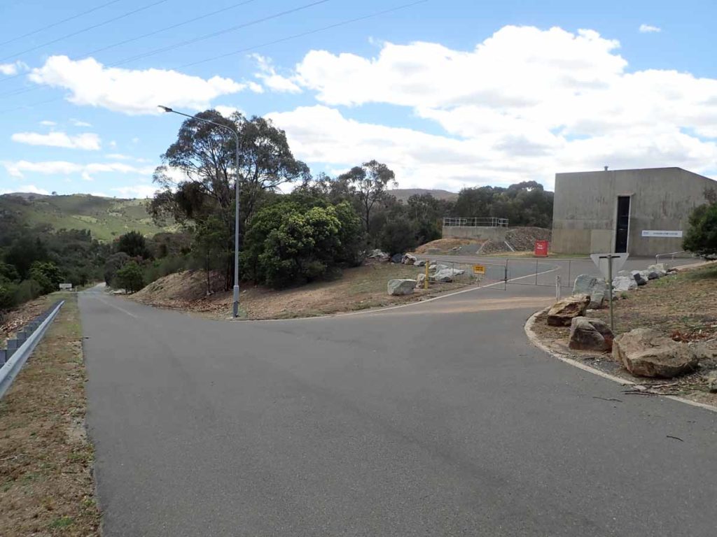
Dam pump house
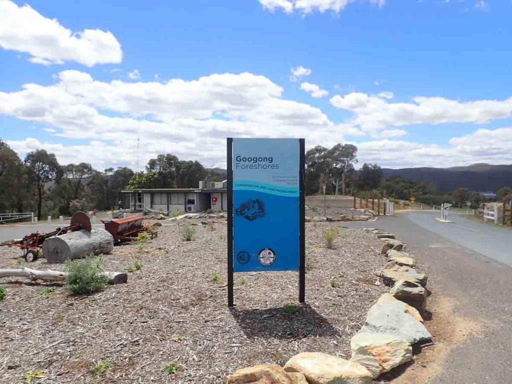
Visitor Centre
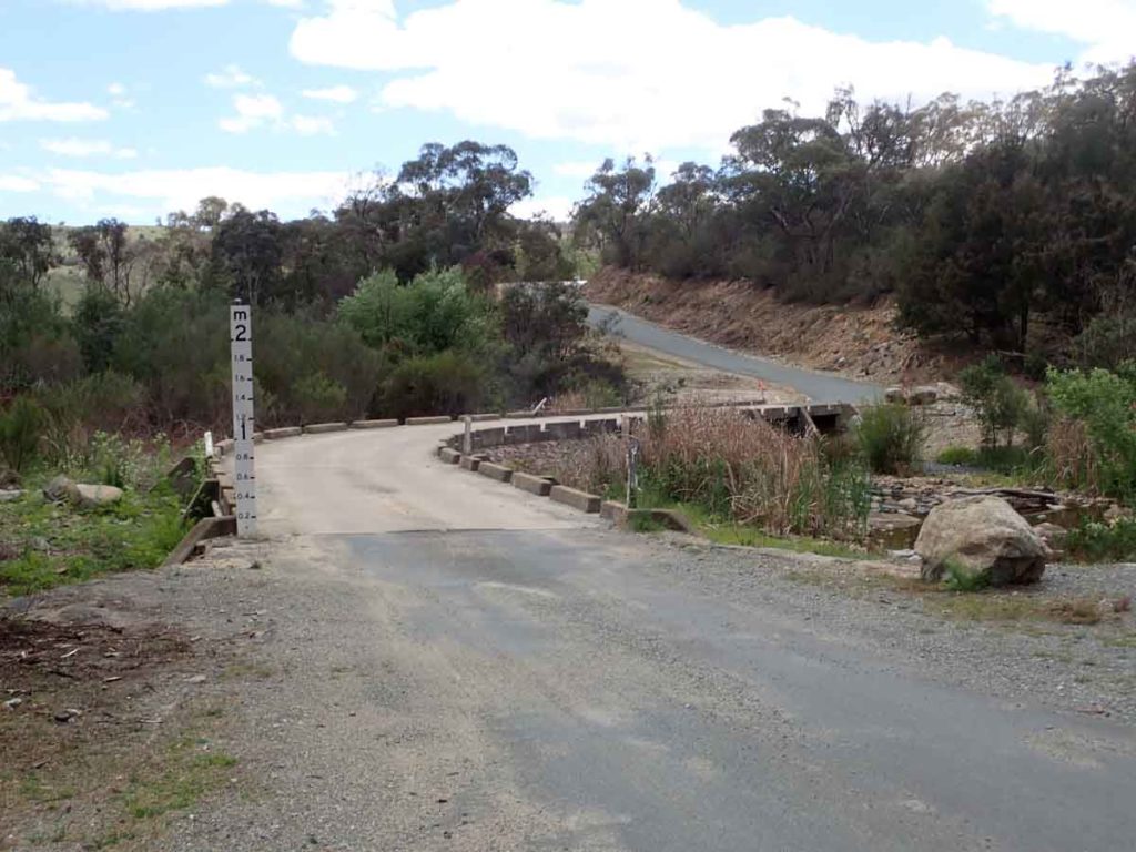
Creek crossing just before reaching the Downstream Picnic area that is the start of a number of walks including the Black Wallaby Loop Track
Downstream Picnic Area car park. There is enough space for around 30+ cars
Things to Know
- Phone: There is reasonable phone signal (Telstra) on this track, mainly at the high points, but limited data signal
- Water: You need to bring your own water
- Toilets: There are toilets located in the picnic area at the trailhead
- Dogs: No dogs allowed
- Camping: No Camping, The reserve is closed at nighttime
- Other:
- Opening hours are 8:00am-5:00pm but check on the ACT Government website prior to going
- Although this area is managed by the ACT Government you are actually in NSW
- There is very good phone signal on this trail
- Bring your own water
- This walk is done in a loop
Disclaimer
This walk was undertaken by the team from Australian Hiker