McFarlanes Ridge Walking Track VIC (4.7 km)
VIC
Nearest Town
Wodonga Victoria
Starting Location
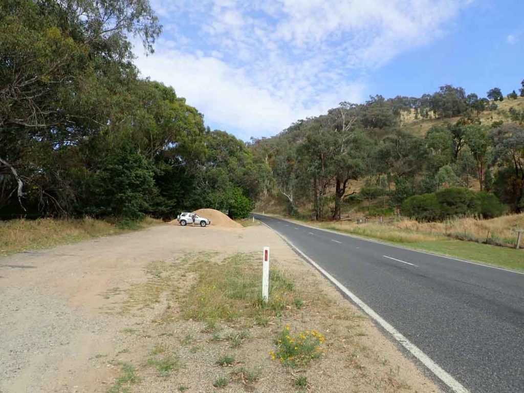
Felltimber Creek Road car park
Finish Location
Felltimber Creek Road car park
Best time to Travel
Year round although the cooler months of the year will provide a better experience. If walking in the summer start early to avoid the heat
McFarlanes Ridge Walking Track Summary
The walk is right on the edge of the rapidly growing city of Wodonga and could very easily be considered an urban walk given the speed at which this area is growing. Head out of Wodonga to Felltimber Creek Road and the car park is on the left side hand side of the road 1.3km after you drive over Felltimber Creek. Cross the road and you will come across the turnstile gate and signage that forms the start of the Fell timber Creek Conservation Reserve.
This walk is actually a loop than runs along the lower hill crest that provides views of the rapidly growing city as well as the adjacent rural land. We did this walk in an anticlockwise direction and from our perspective this is our recommended walking direction. Doing the walk this way gives you a steeper uphill start but one you have reached the high point on the track you the have a mainly gradual walk back to the starting point.
There is not a huge amount of tree coverage at the start of the walk and its only really when you reach the higher part of the trail here you get reasonable tree growth. We did this walk in early December during an extremely dry period. So dry in fact that while we expected to see snakes given the surrounding bushland but they were nowhere to be found. In fact the only wildlife that we saw on our walk was a large Black Wallaby that quickly disappeared as soon as it saw us, and some cows.
I would suggest doing this walk in the cooler months when the vegetation would have been a bit softer, or even winter time early in the day when the mist would create a great atmosphere which I have seen posted online. Alternatively I would be keen to head back to this area in late summer/early Autumn when all the figs, which seem to be the main weed on the track would be ripe. You just need to beat the birds, and I’m sure the locals in the know there first. This is a revegetation area so the tree coverage is sparse. with minimal undergrowth. The most treed area is on the return half of the walk.
The signage on this trail can be a bit confusing with a number of different markers signs being used to mark this trail. The reason for this is that most of the tracks in this area link together to form larger trail networks that you can turn into a choose you own adventure. The main signage on this trail are the green and white arrow markers as well as the yellow topped posts. Just remember that you are doing a loop and you will soon get the idea of where to head.
This walk is not the most spectacular of walks but is so close into the city, easy to access, and provides some great view over the urban and surrounding areas that its worth doing at least once.
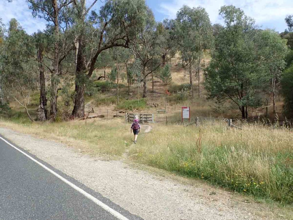
Cross the road to the walk start
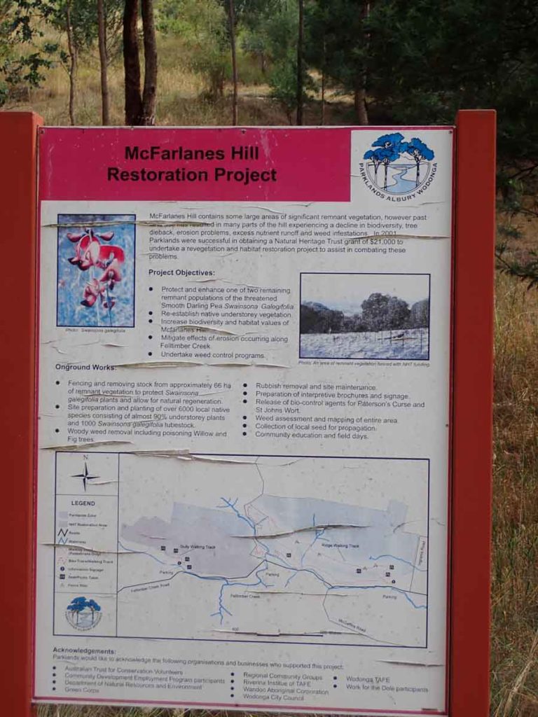
Trail head signage
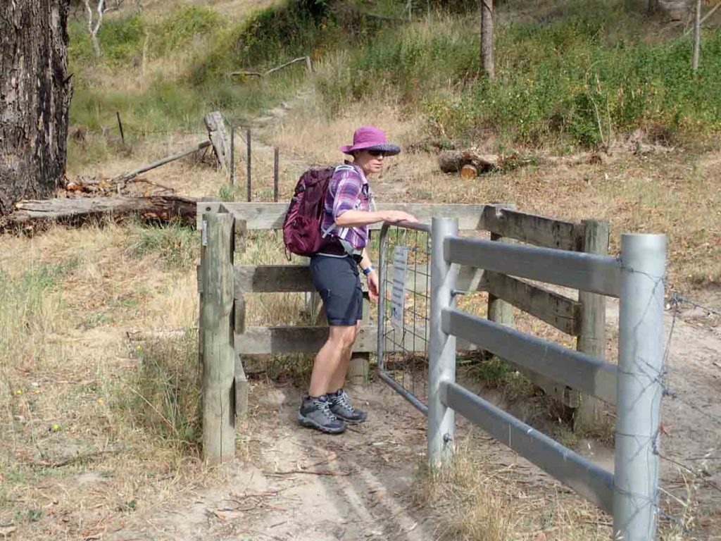
Through the gate
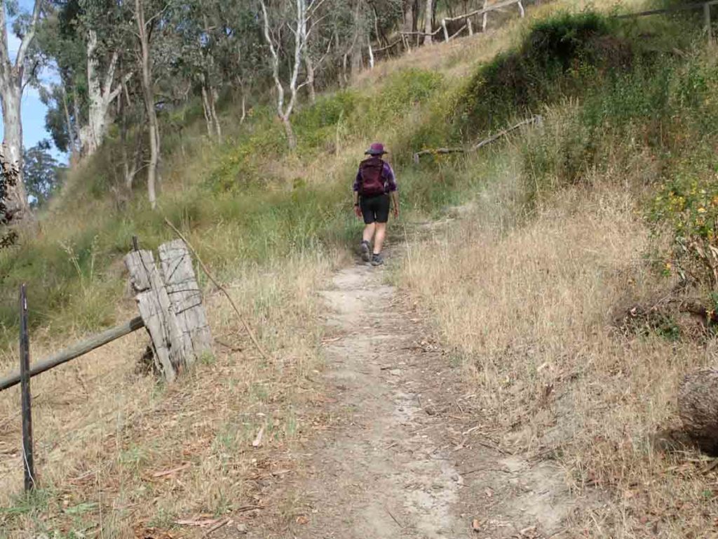
Trail example
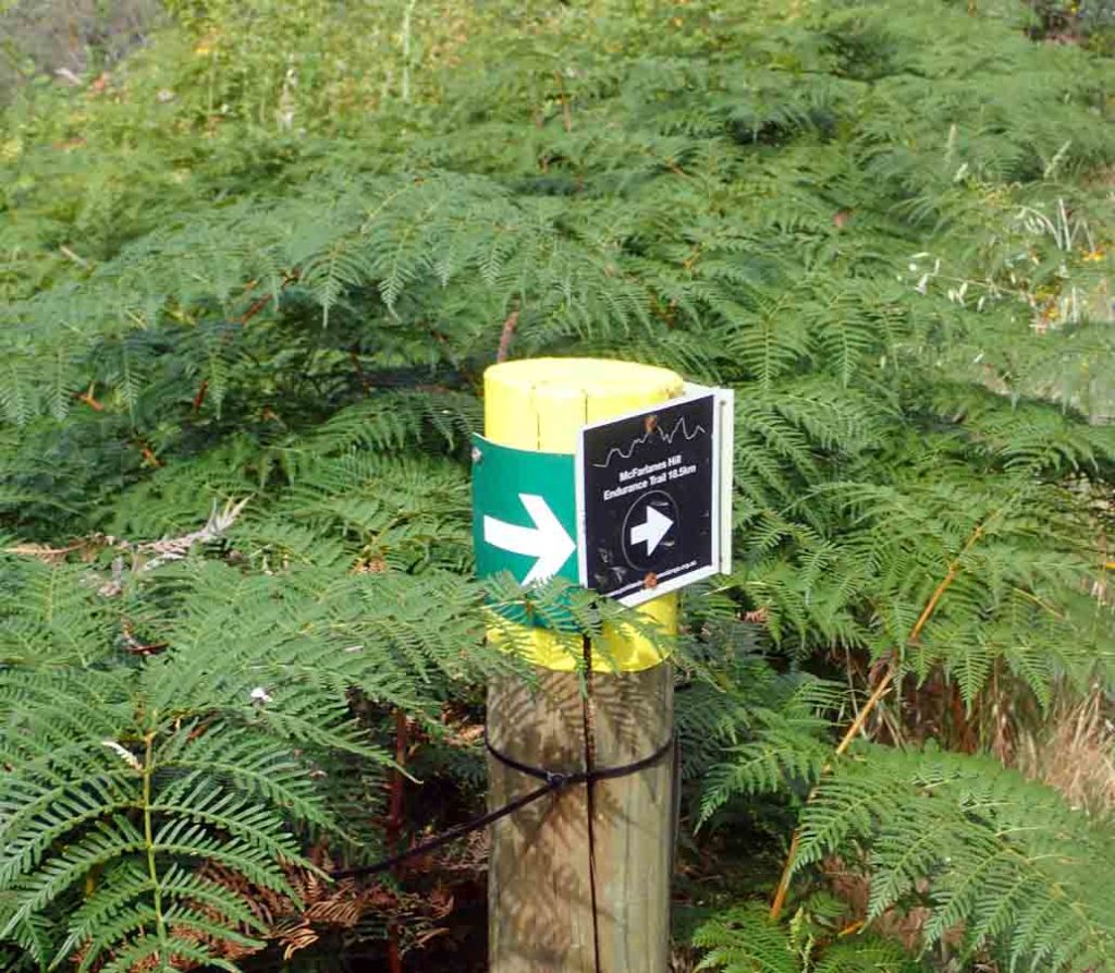
Cross the road to start the trail
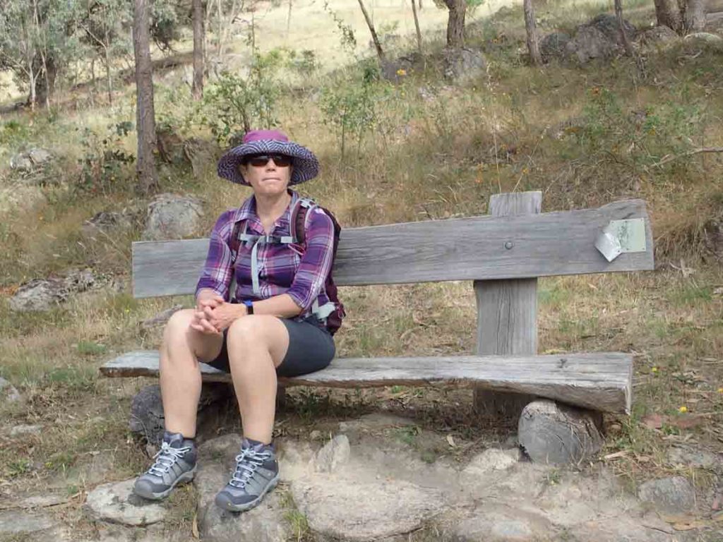
Seating on the trail
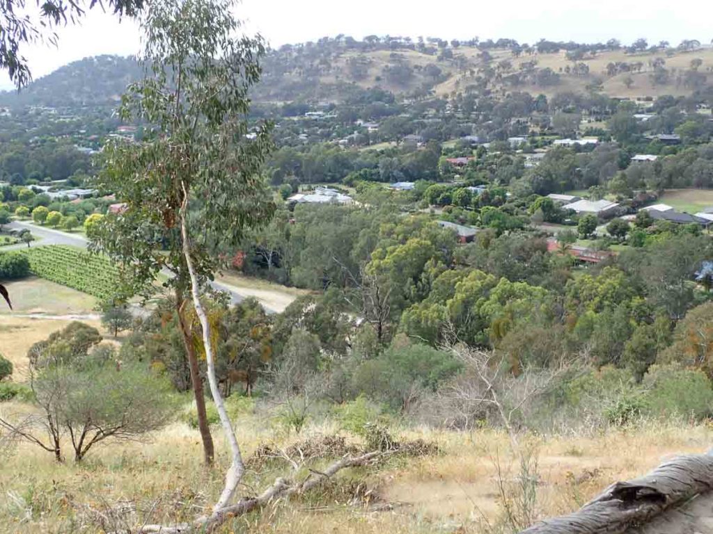
Views in to the valley below
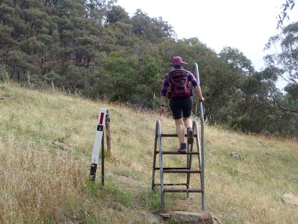
Stile
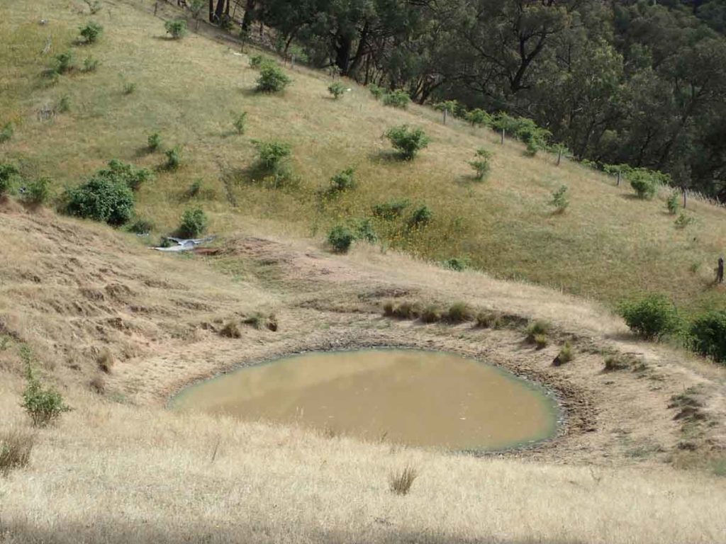
Dam on the trail
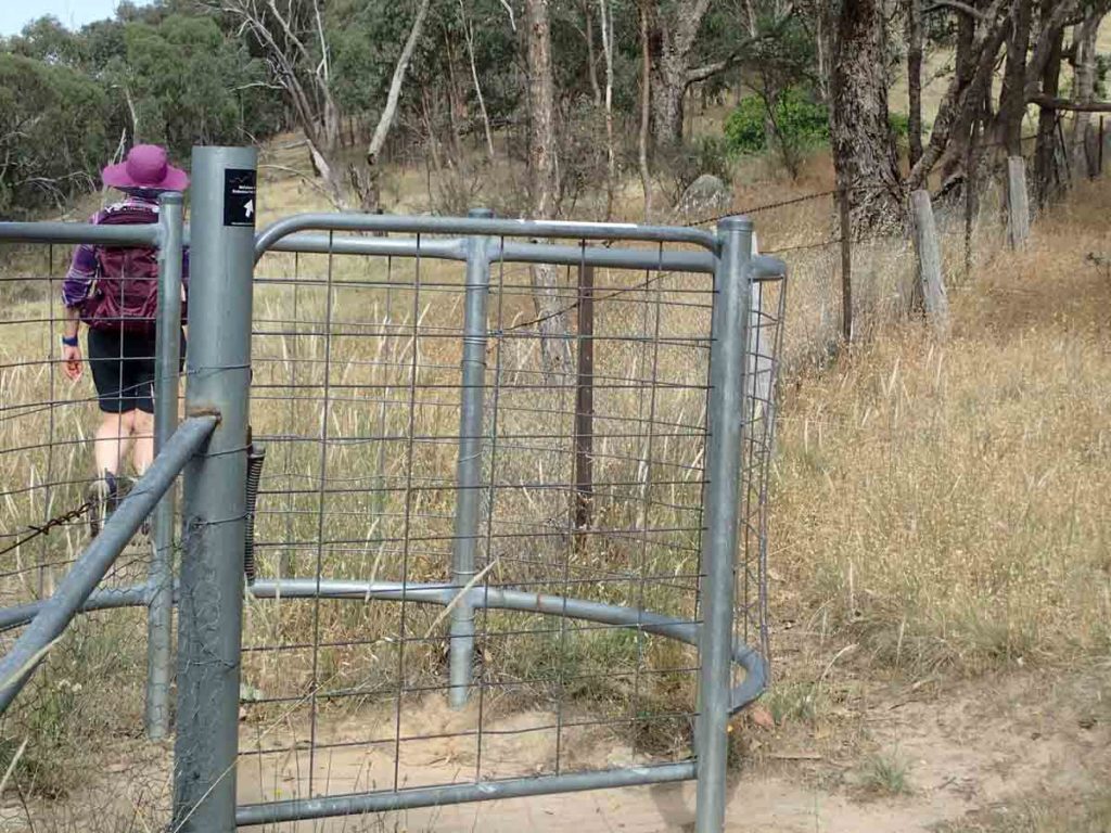
Follow the gates
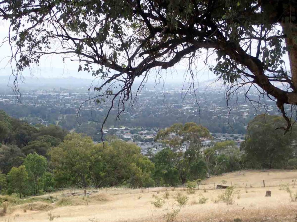
McFarlane’s Hill Ridge Walk. views over Wodonga
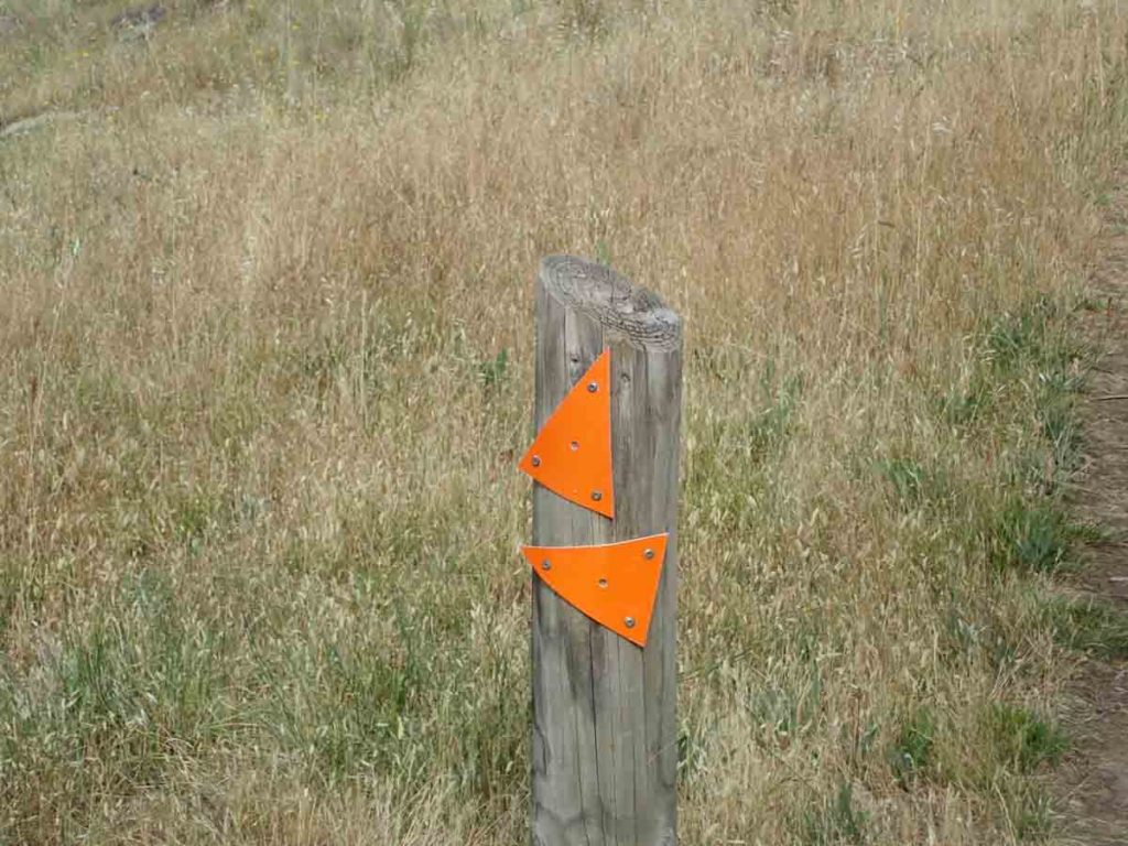
More signage just to confuse you
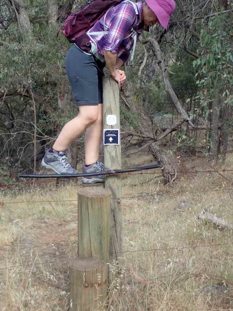
Another creative stile. People obviously don’t like using this as there is a hole in the fence next to this stile
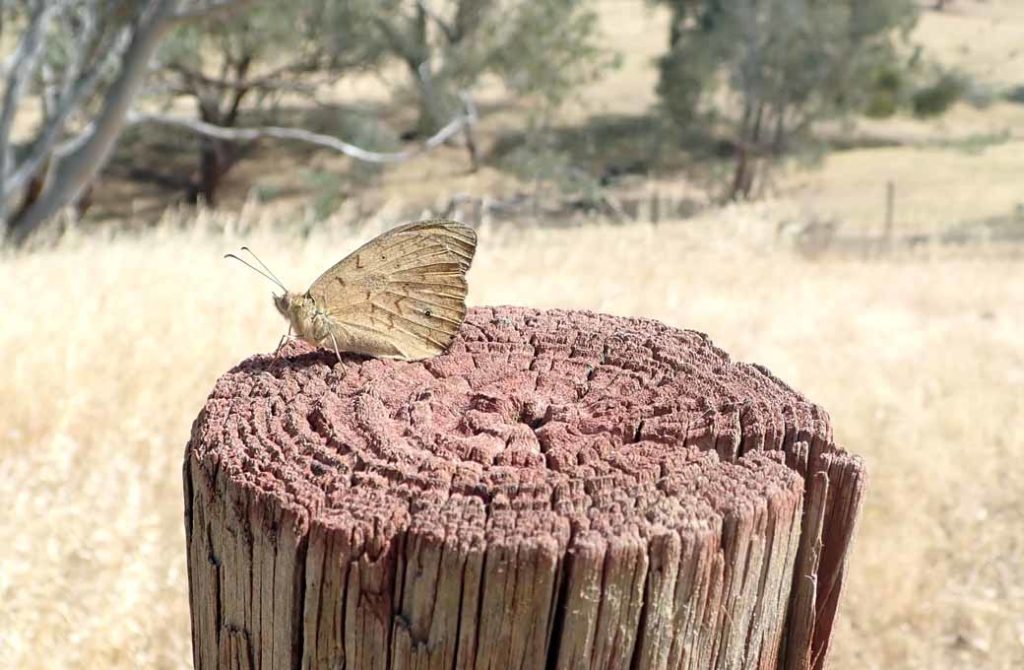
Lots of butterflies on our walk
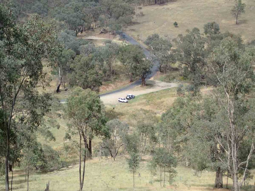
View down to another trail head from a different walk
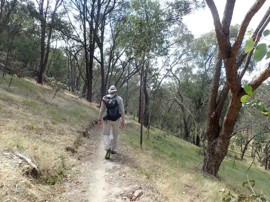
The return portion of the trail is more natural
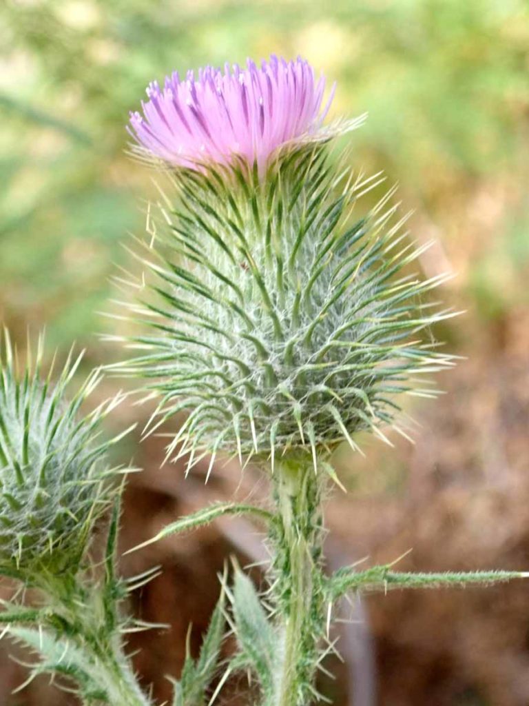
A weed but still attractive
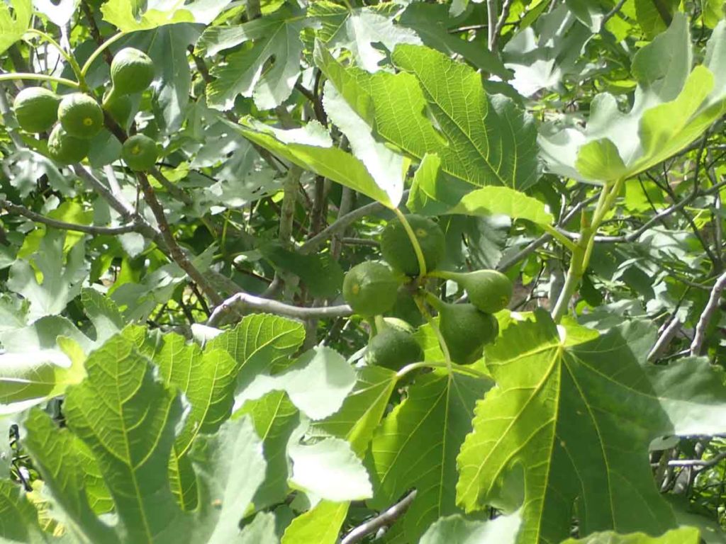
Fig trees are one of the common weeds on the trail. Walking in late summer would be a good option so long as you beet the birds and the locals to the fruit
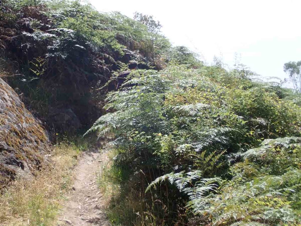
Bracken. This weed used to be so common but in much of Australia it has been brought under control
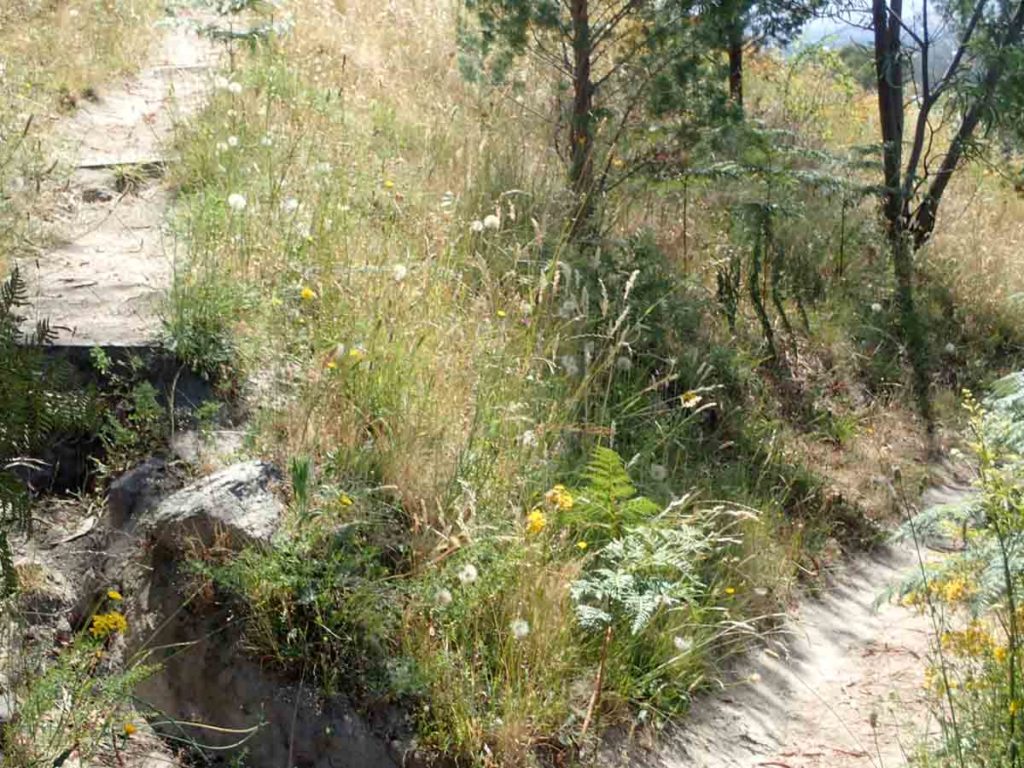
Back to the loop. Left goes up the hill, right goes back to the car
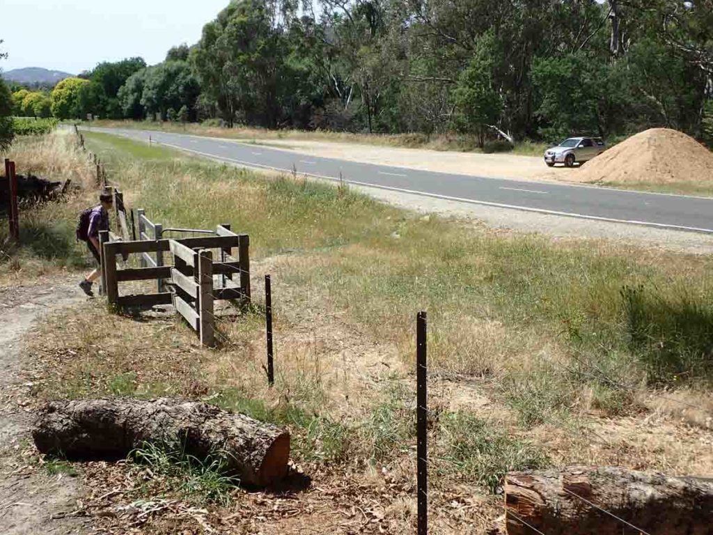
Back to the start of the walk
Getting There
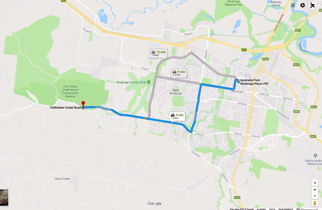
Google Map to the parking area long Felltimber Creek Road

Car parking area along Felltimber Creek Road
Things to Know
- Easy access year round
- Excellent phone coverage on this trail
- Signage can be a bit confusing so pay attention to where ayou are going and remember that you re doing a loop
- The trail is a bit exposed so bring sun protection in the hotter months
- Bring your own water
Disclaimer
This walk was undertaken by the team from Australian Hiker