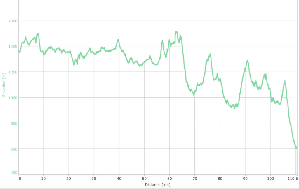
Kiandra to Tharwa Walk NSW/ACT (112 km)
Australian Alps Walking Track Section 8
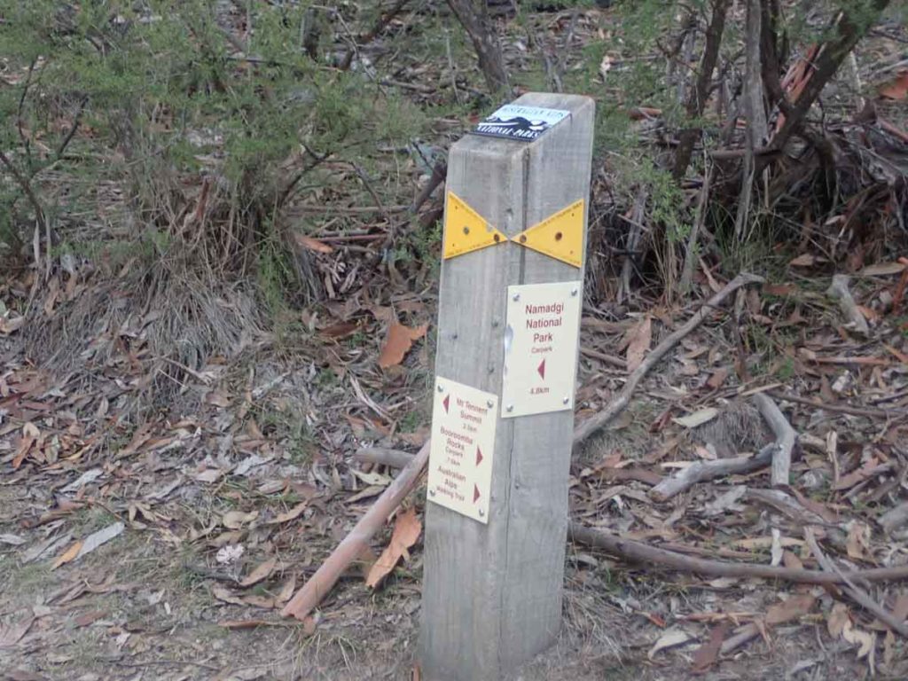
Starting Location
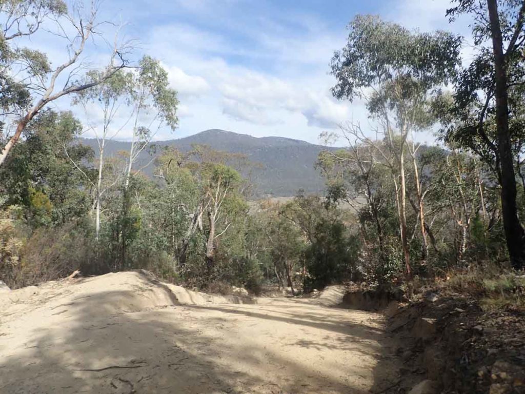
Nungar Creek trail head around 550 metres north of the old Kiandra Courthouse site along the Snowy Mountains Highway, NSW
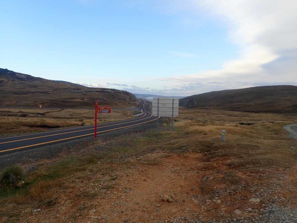
Nungar trail head just off road
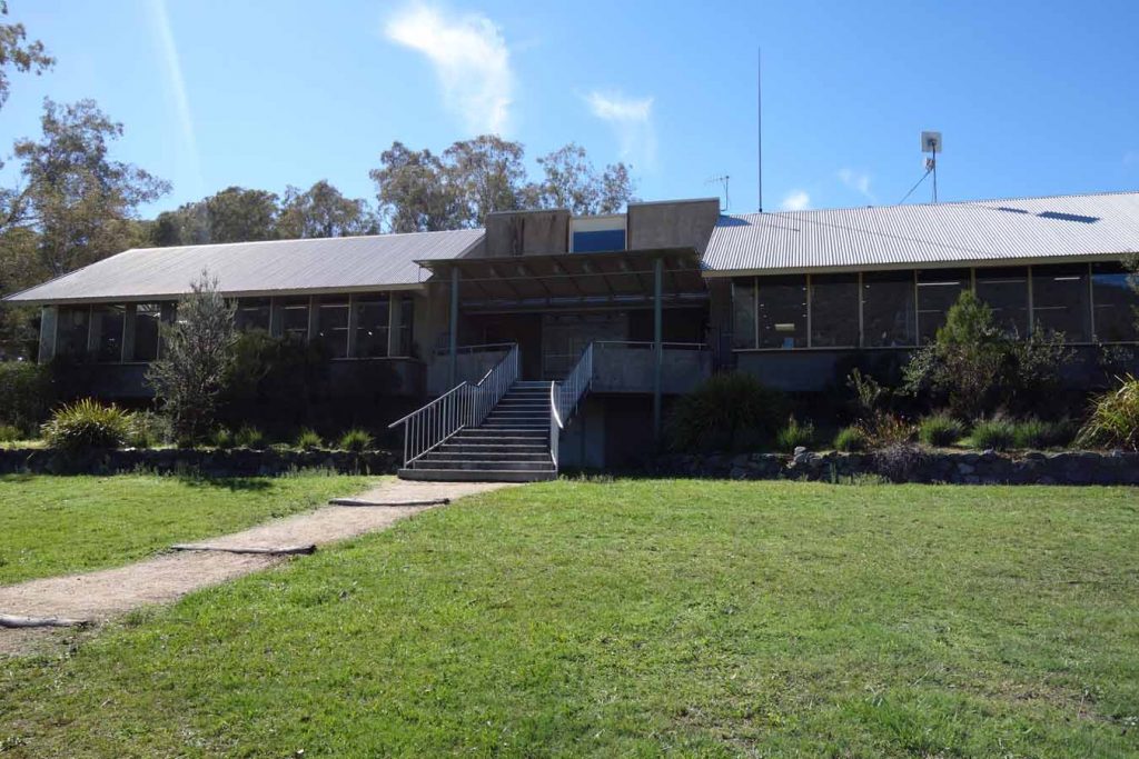
Finish Location
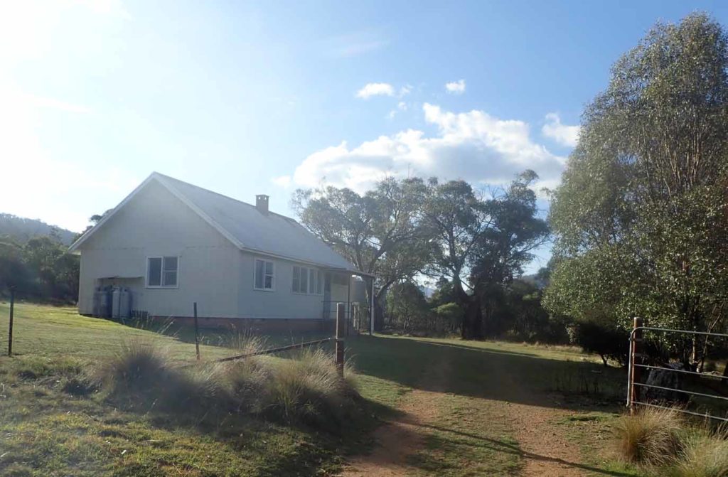
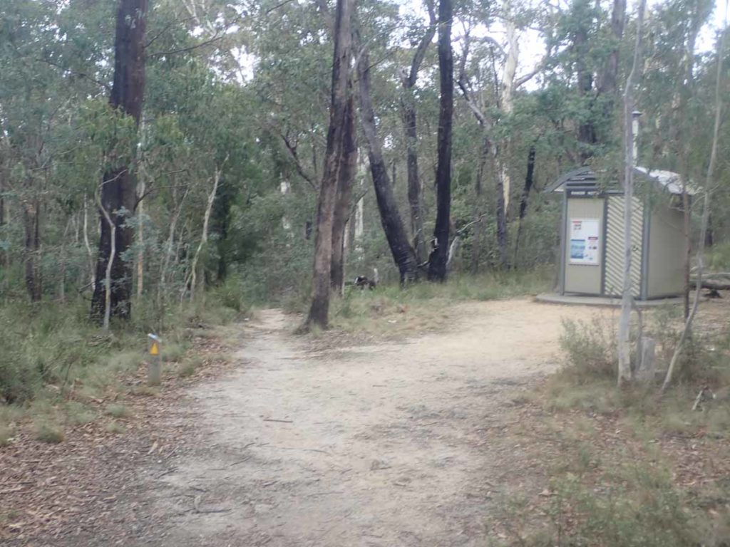
Namadgi National Park Visitor Centre, Tharwa, ACT
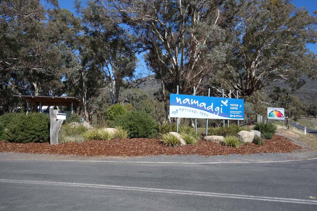
Namadgi Visitor Centre front entrance
Best Time to Travel
November – April
- While this trail is walkable year round, from May through to at least October there is a strong likelihood of snow conditions particularly at the Kiandra end of the trail. Snow is a possibility outside of these times and be present from late March until late November.
- Keep an eye out on extreme heat in the summertime as well
Kiandra to Tharwa Walking Track Review
If you are heading north, the walk from Kiandra to Tharwa is the last section (section 8) of the Australian Alps Walking Track (AAWT). I decided to do this walk in this direction for the following reasons:
- I didn’t want to spend a huge amount of time travelling to get to the trail head so wanted something within a couple of hours drive from Canberra
- In doing this walk I had planned on walking the full AAWT at some stage so wanted to do at least one entire section to get an idea of how I would go and what the logistical issues were to assist long term planning (then the 2019-20 fires hit)!
- I really do love the remote regions surrounding Canberra
- I like to physically challenge myself (at least once a year!) and wanted to do this walk in a manner that can only be classed as extreme. In this case, 112km in three days. I did have a spare day up my sleeve just in case.
The following write up details my three day trip, day by day. This write up concludes with some suggestions for ‘average hikers’ who may be interested in doing this trip in a more leisurely pace.
Day 1
36.1 km
The first day was a long one starting in Canberra with an alarm at 4:00am and leaving home just after 4:30am for a three hour trip to the trail head. This also included a breakfast stop at McDonalds in Cooma on the way. I must thank my long suffering Gill for getting up and dropping me off at the trail head before making her journey back home to Canberra.
The trip from Canberra to the trail head in Kiandra can be on a dirt road through the bottom of Namadgi National Park along the Old Boboyan Road. The main drawback with that route is the number of kangaroos and wallabies you will come across so its best done in full daylight hours.
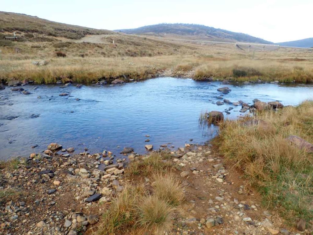
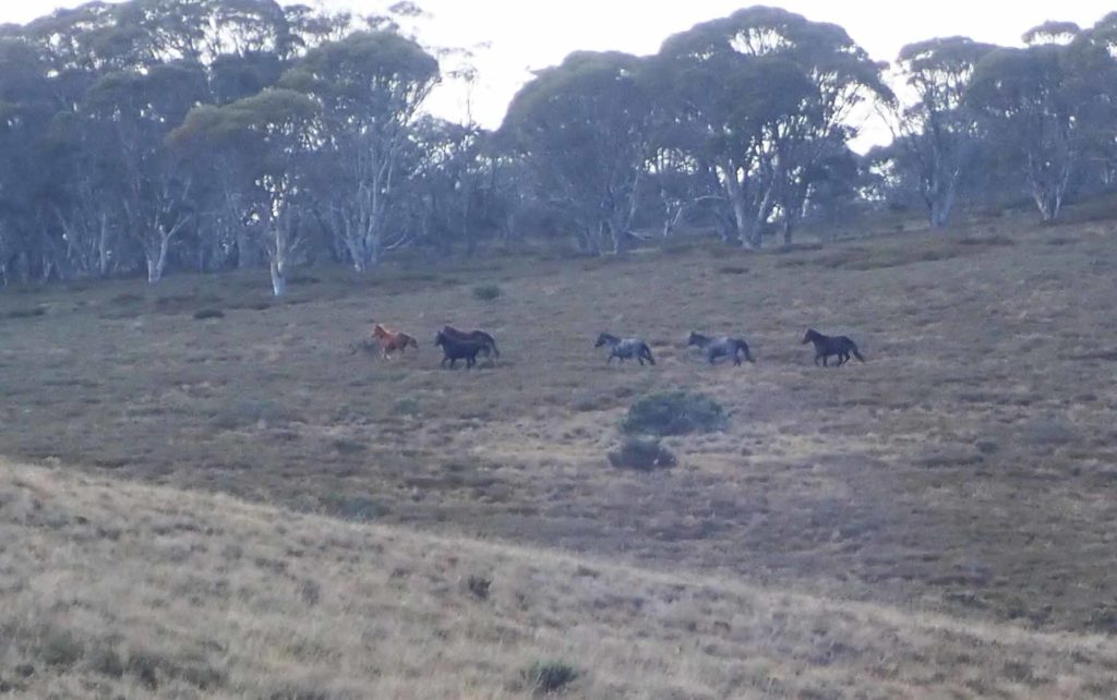
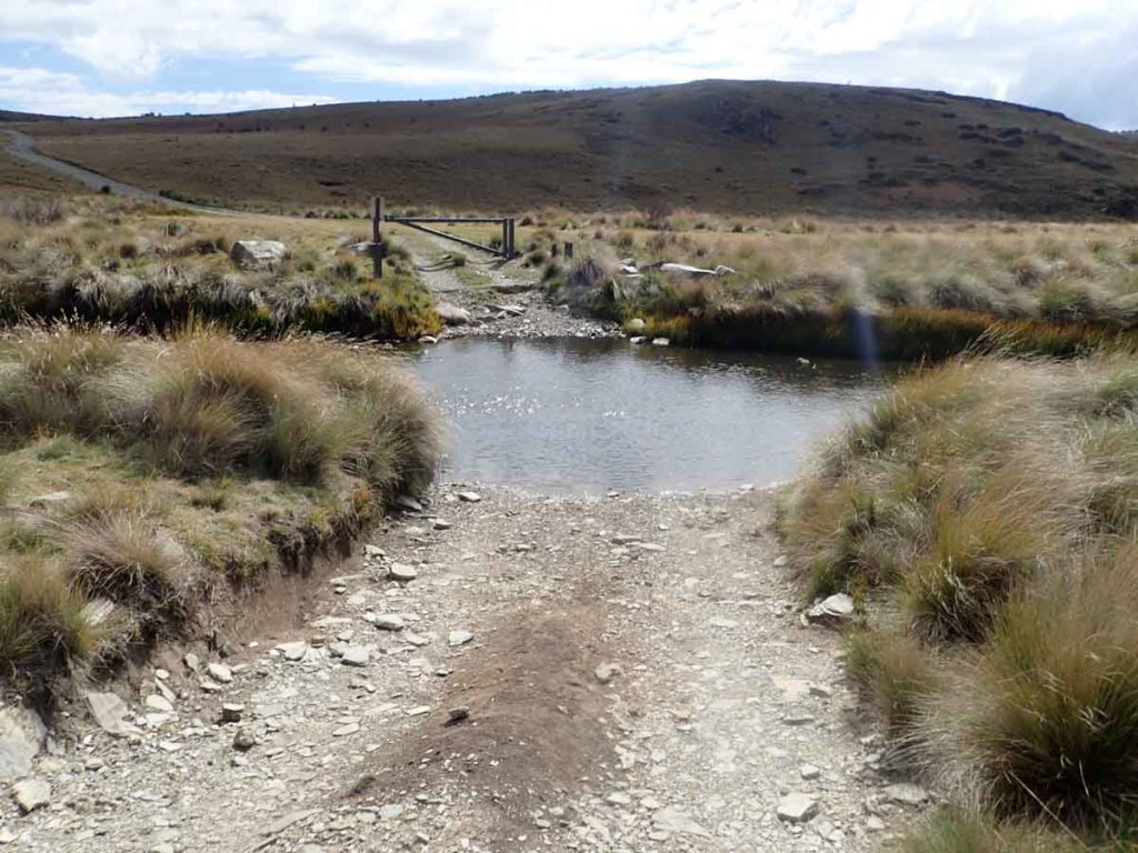
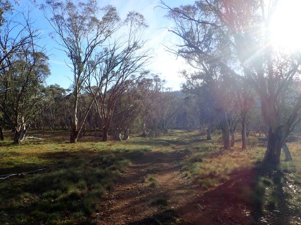
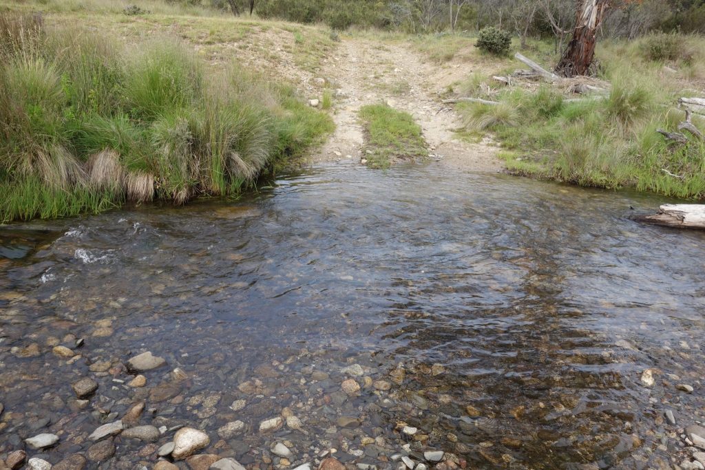
We arrived at the old Kiandra Courthouse precinct (destroyed in the fires) around 7:15am and made use of the toilet facilities (no toilet paper) before driving the 550 metres further down the road to the start of the walk on the Nungar Creek trail head. Given I was planing on doing three consecutive days of over 35 km in length, I had taped my feet and was most annoyed to discover I had a water crossing, the Eucambene River, within 500 metres of starting the walk! I knew the crossing was there but expected to be able to rock hop my way across. Instead I had to remove my boots and wade slowly across 40 cm of water. After spending some time drying off my feet it was up the hill before levelling out. Just after crossing the Eucambene River, I came across the first of the more than 150 wild horses I would encounter in the first two days of the trip. They came within about 100 metres of me to check me out before bolting off across the trail, paralleling me for a few kilometres.
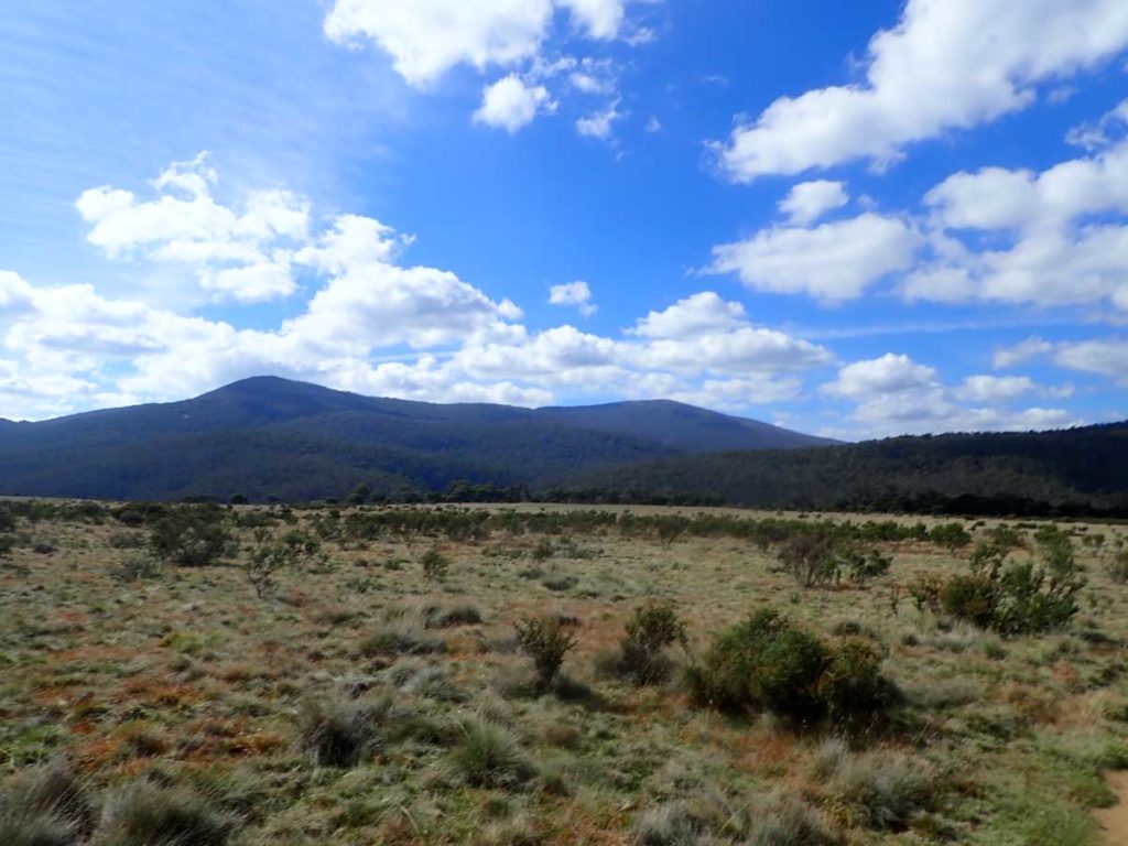
While I have done plenty of hikes within the Kosciuszko National Park, this was an area unfamiliar to me. The first day consisted of traveling along management trail through open grassland and low open forest. I do love this part of Australia! On day one I also learnt that the biggest obstacle was the horse manure and after coming back home, I found out that stallions mark their territory by leaving manure in piles. It was almost like someone had come and shovelled the manure into piles. I spent much of the first two days avoiding the piles as best that I could.
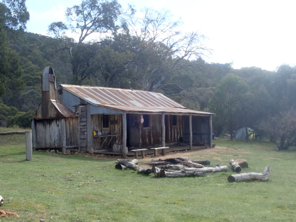
There are a number of huts along this section of the trail and I came to the first, Witzes Hut, by around morning tea time. This would be a good opportunity to have a look around as each hut is different enough to spend some time exploring. On I pressed and just after midday I had my second river crossing, this time the Murrumbidgee. Again I took my shoes off to cross at the designated crossing and while there was an area about 50 metres up stream that would have provided a dry crossing, it involved walking through dense grass that was above knee height, and looked liked a haven for snakes.
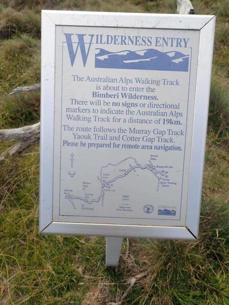
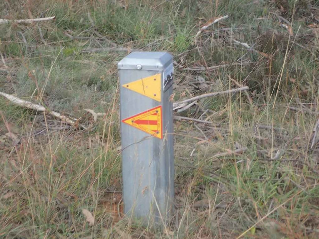
Once across the Murrumbidgee, it was good time for lunch. There is a nice open, flat area to relax just on the other side of the river where I could dry my feet. While I was using maps, the trail up until this stage had been very obvious and easy to follow but this was about to change. Within about 2 km of crossing the Murrumbidgee, the trail looped back down to the river for another crossing but not before passing a sign warning that from here on for a number of kilometres, the trail was unmarked and you needed to follow a designated heading with only the odd marker post to keep you heading in the right direction.
This river crossing took a bit of time to work out as it involved identifying the best way to get to the other side. This time I managed to do it without getting wet feet but it did require some acrobatic leaps to achieve. If you are walking this section in late spring, you would have no choice but to get wet.
The walk up and over the spur wasn’t too bad and there had been enough walkers over the previous months to trample the grass. What I did find was that at some stage, there must have been a trail realignment as the flattened grass didn’t follow the marker posts. These posts were usually on the edge of the field of vision so once you reached one, you could usually see the next one in the distance.
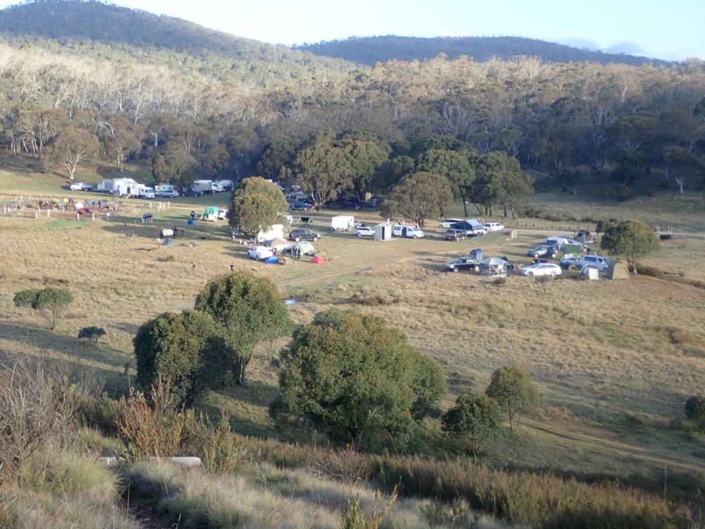
After about two hours I was back following the management trail again and heading to my campsite of choice which was Hainsworth Hut but not before passing the Ghost Gully Camping area. Given it was Easter, there were around 100 people in caravans, camper vans, tents and swags with a large number of horses in a holding pen. This is a good camping area providing it isn’t a holiday period.
Hainsworth Hut was less than 4 km away and was glad I had the whole hut to myself. I arrived just after 5:30pm after walking a 36.1 km day on what ended up being by far the easiest terrain of the whole trip. A quick dinner and I was in bed by about 6:30pm.
Day 1 all done.
Eucumbene River Crossing not long after starting the trail
Wild horses
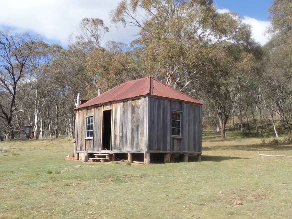
Witzes Hut
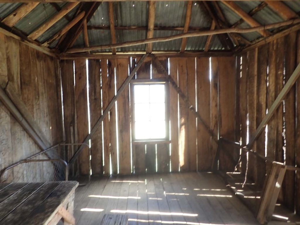
Inside Witzes Hut
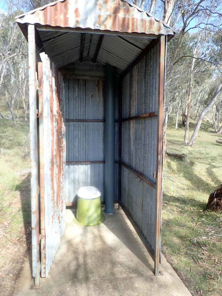
Toilet at Witzes Hut
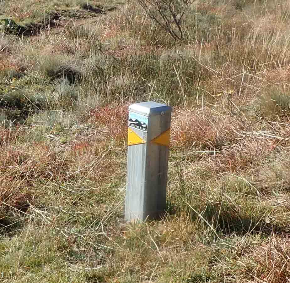
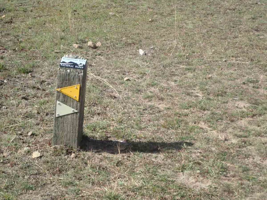
Marker post usually present where the trail turns
Murrumbidgee River – crossing number 1
Murrumbidgee River – crossing number two. At this stage you need to be creative in how you are going to cross if you want to stay dry which I did
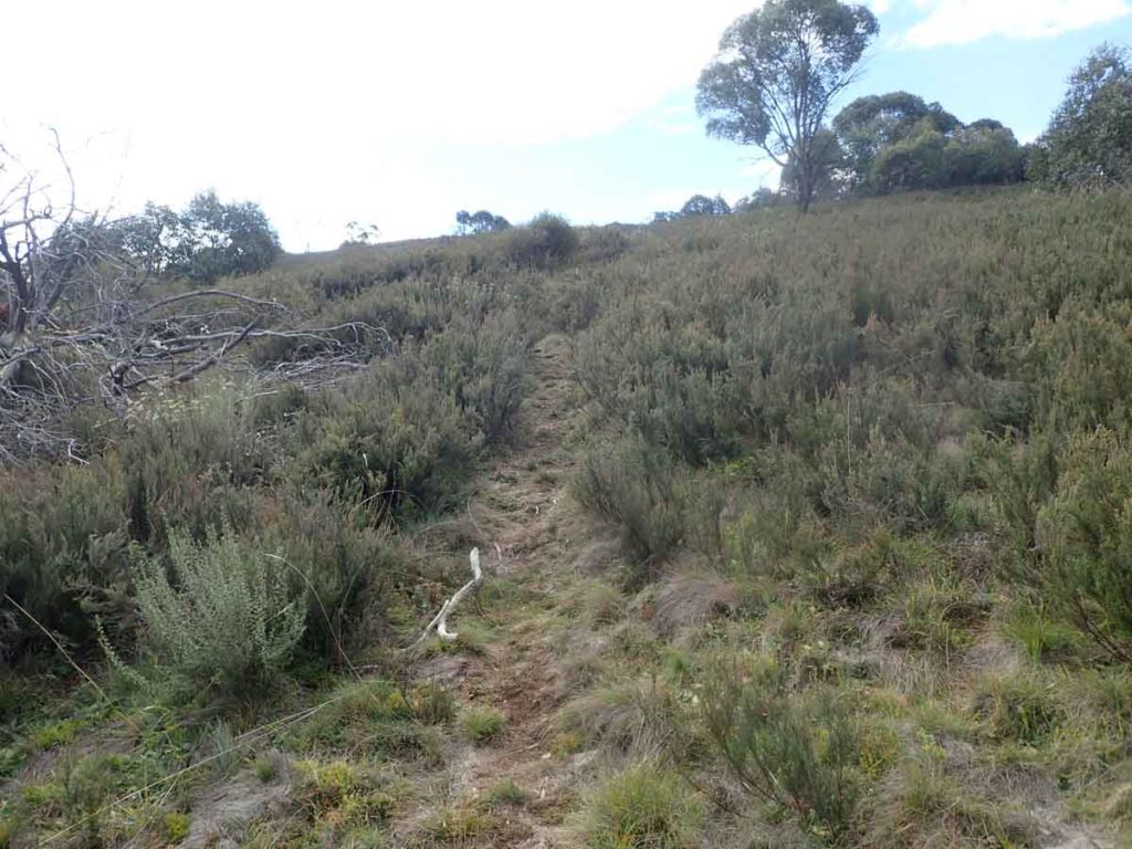
Unmarked trail, follow the worn vegetation
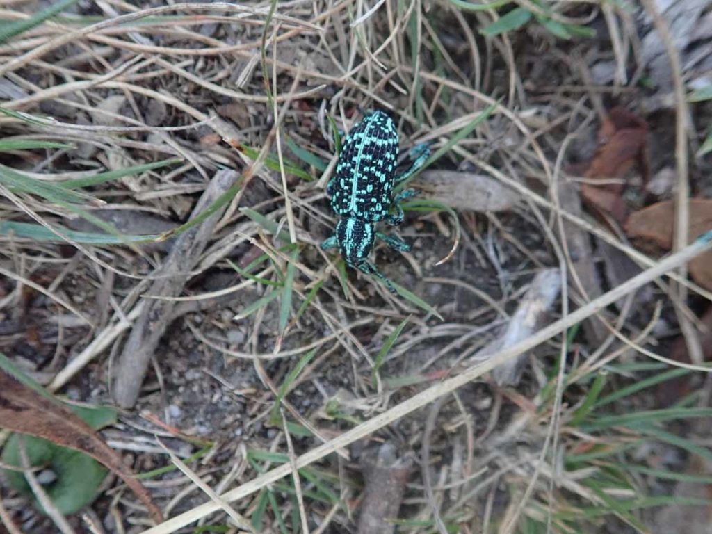
Beetle on the trail
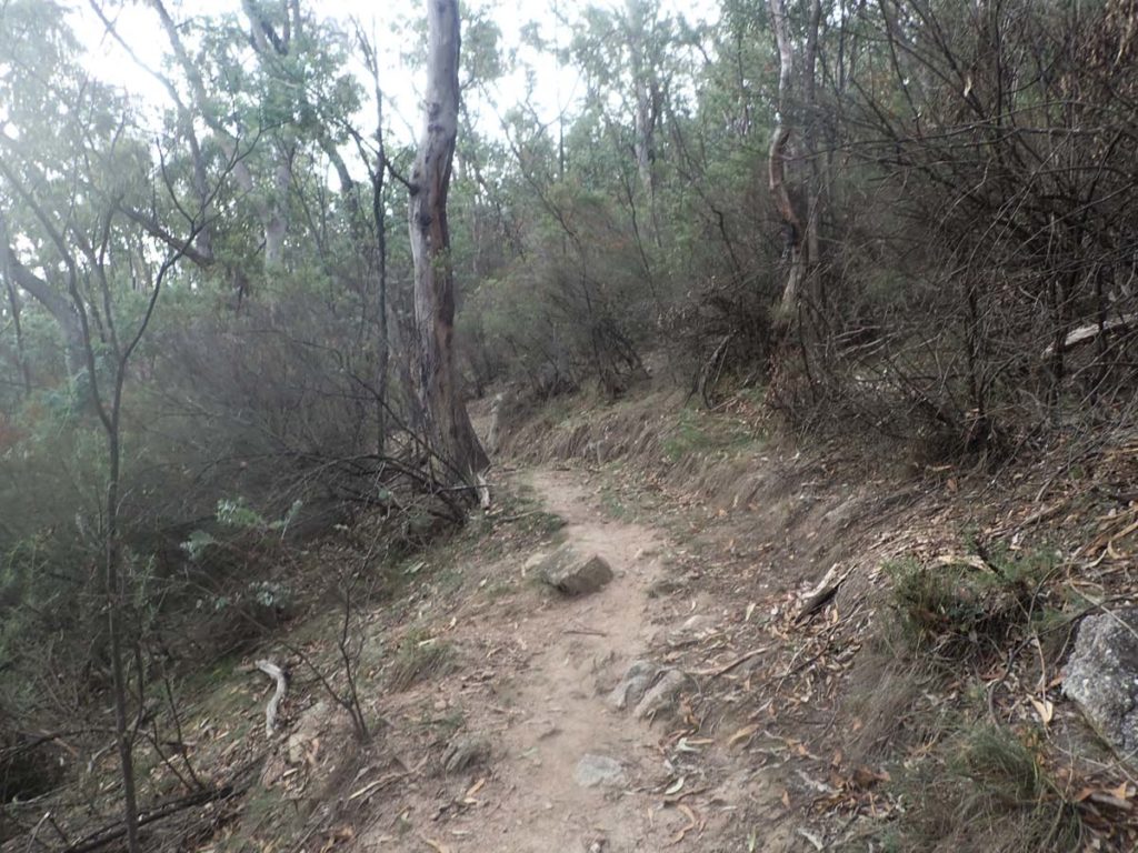
Unmarked trail
Ghost Gully Camp Ground – a popular spot
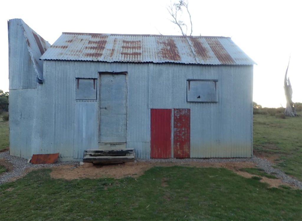
Hainsworth Hut
Hainworth Hut. I stayed here on the first night of my trip with this video shot at the start of day two. There is a good reasonably consistent water supply in front of this hut.
Day 2
39.6 km
I had a reasonably good night’s sleep and felt rested. Even after a big day of walking the day before I woke with the expectation of a hard day.
Day 2 on any hike is always my most difficult. I don’t know why but for a number of years I seem to think I can wake up, pack, toilet, and have breakfast in an hour but instead it takes me around 1.25-1.5 hours at best. I did manage to get away around 7:20am this morning and spent the first hour walking through mist as the sun continued to climb high in the sky.
Today would see me move from Kosciuszko National Park to Namadgi National Park and into familiar areas. I expected to reach Murrays Gap at the base of Mount Bimberi around 1:30pm-ish which was about right. Over that time, the tree growth started to get progressively larger as it shifted away from the alpine eucalyptus to the more temperate species.
I passed by Bill Jones Hut (around 600 metres off trail), the old Currango Homestead (about 2 km off trail) as well as the side trail to Blue Waterholes (about 3.1,km off trail). I had deliberately chosen not to go off trail on this trip deciding that 112 km over 3 days was enough. I will do some of these side trip options when I do the full trail in the next couple of years.
Around midday I reached Oldfield’s Hut and while I was aware of where it was, I hadn’t been there before. There were around ten tents pitched around the hut. I talked to a few hikers a little further down the trail as I was having lunch. You can park your car about an hours walk from Oldfields, and base yourself there, to walk up Bimberi and the surrounding areas.
I continued on crossing Murrays Gap from this direction for the first time and the journey into the central area took me longer than I was expecting. The grass was the highest I had seen it in the past five years but along with that, it was bone dry – there was very little water. I was amazed at how dry.
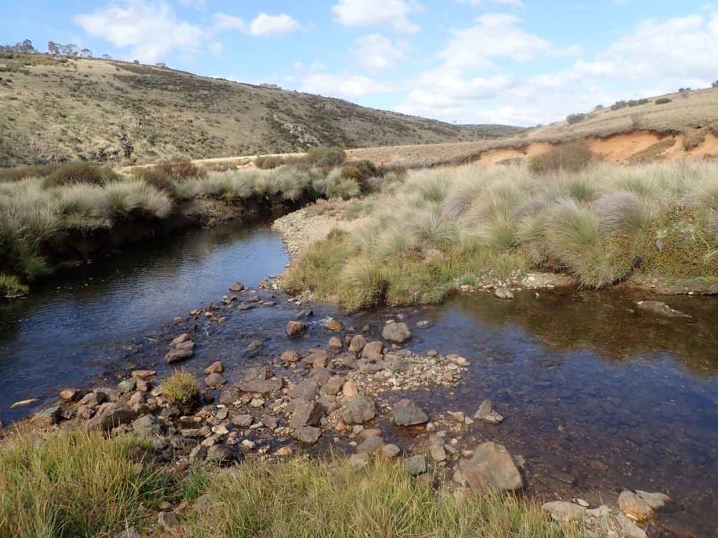
From here on, I was hiking in areas I knew well and I headed down the hill to cross the Cotter River which was my last reliable water source of the day so I used this opportunity to top up my supply. I felt a bit lazy so I did the river crossing at the back of the fenced ranger’s cottage. At this point you can get across without getting your feet wet but you do need to bush bash to get back on the trail – I wouldn’t recommend it during the middle of snake season.
From Cotter Flats it was up the hill to camp at Cotter Gap. As I approached I was concerned that the planned burn-off fires from the week before were still going. I discovered a mother and young daughter cooking their dinner. I was too tired by this time to point out that fires are banned in the Bimberi Wilderness but its something that I see all the time. The Bimberi Wilderness is a permit camping area and I had booked two nights just in case my planned stops didn’t work out as expected. On this trip the area was quite overgrown and while I could have picked a better camping spot, it would have been very close to other campers and I/they wanted some privacy.
I was so tired by this stage that after quickly setting up my tent I couldn’t be bothered making dinner so was soon asleep.
Day 2 done.
Day 2 – morning walk
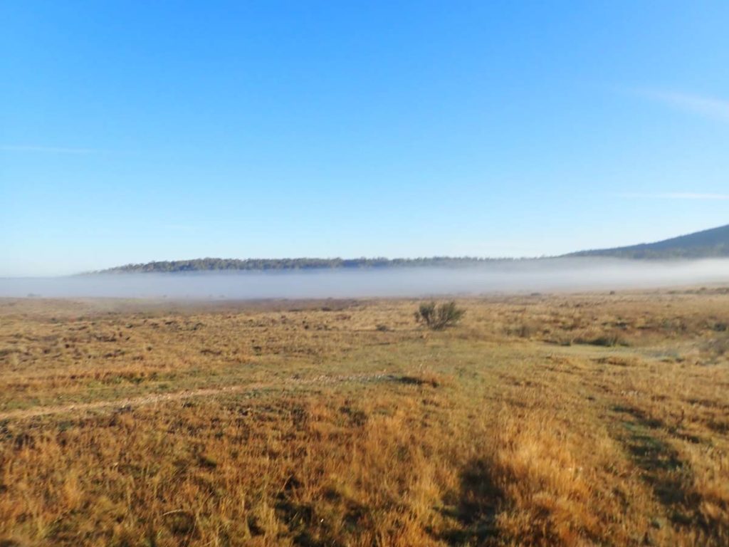
Day 2 – mist in the morning
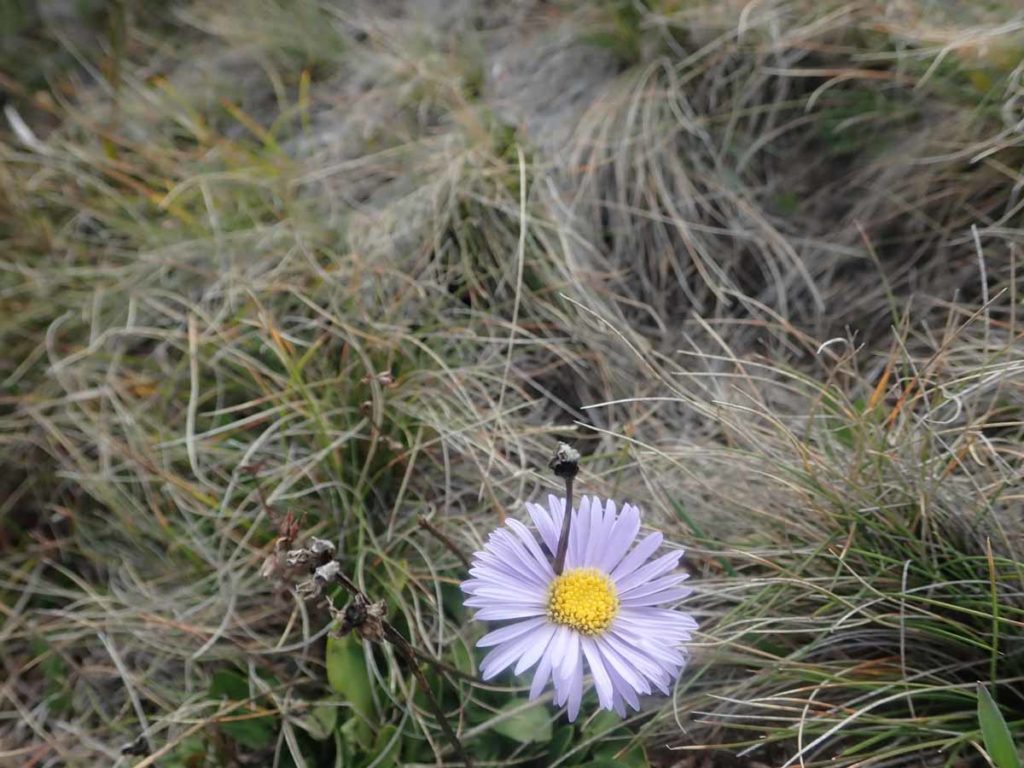
Native daisy
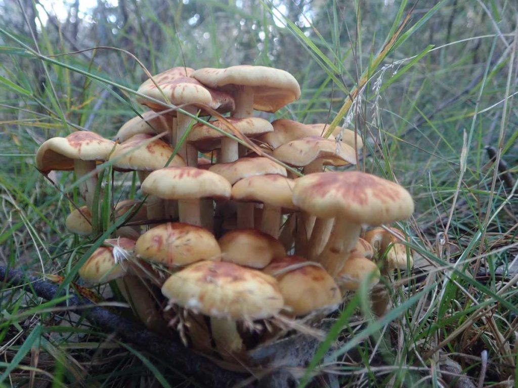
I’m a fungi
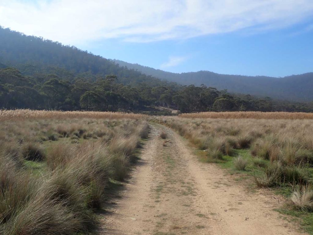
Towards Namadgi
Trail marker for the AAWT and the Bicentennial National Trail
Oldfields Hut
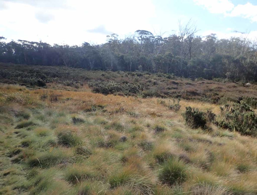
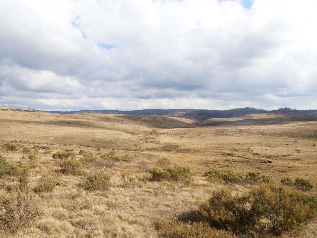
Murrays Gap overgrown
Cotter River Rangers Hut
Cotter River crossing at Cotter Flats
My night two campsite at Cotter gap. There were better choices available but I would have been camping next to another hiker and her child so opted for a bit of privacy.
Day 3
36.3 km
Another long night last night with the temperature getting down to around 2º Celcius which was the same as the night before. My tent was sopping wet from the mist overnight and there was no way it was going to dry so I put it was placed in the outer pack pocket with the intent off drying it of later in the day. On I pressed coming out into the Ororral Valley and crossing over to the Orrorral Ridge Road.
I topped up my water supply before heading up the road but made the mistake of not filling my bladder fully which would come back to bite me later in the day. The walk up the Ororral Ridge Road was bloody hard and would set the scene for what was the most difficult day of the whole trip. I was planning on going into the Honeysuckle Creek Campground to top up my water but at this stage expected I would come across other water sources (big mistake) so I skipped the side trip into the campground.
I must mention here that at no stage did I end up dehydrated or develop any physical signs from lack of water but I’m a big drinker – consuming around 4.5 litres on day one and 5.7 litres on day two. I would have preferred more water on this final day as I would have felt the better. Instead the usual secondary creeks which have served me so well over the past five years were pretty much dry. The first chance to top up water was so bad that it clogged my filter. The next opportunity was an old farm dam at the base of Mount Tennent was almost as bad – I was glad I was carrying a filter as without one, I would have expected to get sick. This water source wasn’t very appealing but I had no choice.
The walk at this stage had passed from bushland back into old farm area. The walk up Mount Tennent was long but relatively easy compared to the walk up the other side. I reached the saddle on Mount Tennent and remembered why I don’t do this trip that often – 4.8 km down to the visitor centre and the end of the walk including about 4 km of irregular stone steps. I defy anyone to find a harder set of steps anywhere in Australia.
These last few kilometres took so much out of me physically. If this was at the end of a 4-5 week AAWT trip, the fitness would be there but not after a three day marathon.
I pulled into the visitor centre at around 5:30pm doing the last 2 km with Gill who had walked part way up Mount Tennent to meet me.
Yahoo!
Trail marker in Ororral Valley
Crossing Ororral Valley
Ororral Ridge Road – this is a steep hill!
Toilets at Booroomba Rocks car park
Yes that’s water – its lucky I had a filter
Less than 5 km to go and some of the hardest hiking in Australia
Rear of the Visitor Centre at Namadgi. All done
The last 100meters of this hike as I reach the Namadgi National park Visitor centre at Tharwa. I was shattered from the 5km descent down down Mount Tennent
The Facts
- Distance: 112km
- Calories burnt according to my Fitbit: 21,500 calories over 3 days
- Steps according to my Fitbit: 158,221
- Weight lost over three days: 3.5kg
- Average time walking (including breaks): 32 Hours
- Kilometres per hour including break times: 3.4km
- Ascent: 4218 metres
- Descent: 4975 meters
Last Words
Without a doubt this is the hardest hike I have ever done. I have done longer hikes, and much bigger days previously. But given my poor fitness level (for me) and the hard terrain particularly on the last day, this was a good one to choose to help me plan the full AAWT over the next few years. Most people who do this walk don’t do it in such an extreme manner and will typically average around 18-25 km a day which is what the other walkers I came across were doing.
I really did love this trip aside from being physically shattered at the end!
Listen to podcast episode 105-Kiandra To Canberra: A taste of the Australian Alps to hear a series of recordings over the three days.
A More Leisurely Pace
Most hikers will do this walk at a more leisurely pace ranging between 15-20km per day which would make this a 6-7 day walk. If you are looking at those sort of distances, I would recommend the following which includes an ascent of Mount Bimberi:
- Day 1 – Travel to the trail head and walk to Witzes Hut 12.4km
- Day 2 – Witzes Hut to Ghost Gully Camp Ground 19.4km
- Day 3 – Ghost Gully Camp Ground to Bill Jones Hut 15.3km
- Day 4 – Bill Jones Hut/Oldfileds Hut/Camp to Murrays Gap 15.6km
- Day 5 – From Murrays Gap walk up Mount Bimberi/Murrays Gap/Cotter Gap 18.9km
- Day 6 – Cotter Gap to Honeysuckle Creek Camp Ground 18.0km
- Day 7 – Honeysuckle Creek Camp Ground to Namadgi Visitor Centre 18.0km
Approximately 117 km
There are a lot of optional side trips on this trail which could very easily add another 1-2 days
Getting There
If heading from Canberra leave the city and head to Cooma along the Monaro Highway. From Cooma, head to Adaminaby. From Adaminaby head to the Old Court House at Kiandra along the Snowy Mountains Highway – the Nungar Trail Head is 550 meters further, on the right hand side of the road.
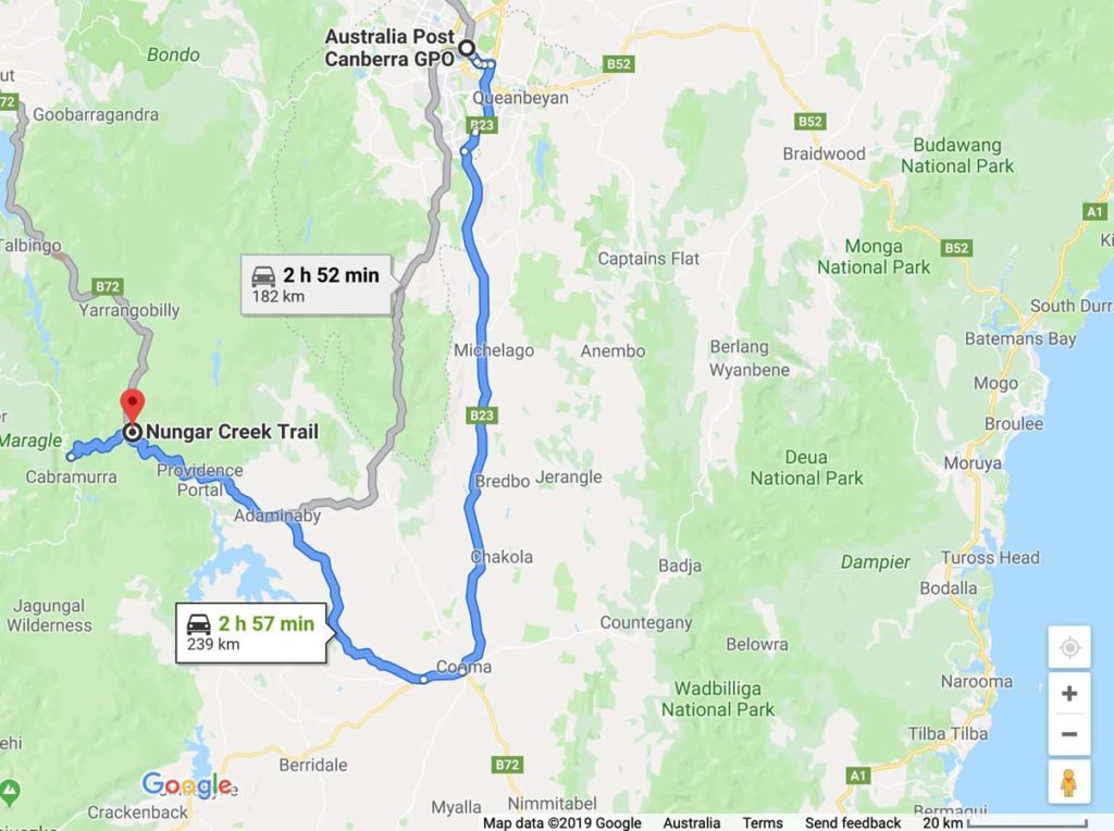
Google Maps Kiandra to Canberra. The drive to the trail head at Kiandra is about 2.5 hours from Canberra
Things to Know
- Camping is limited in the Bimberi Wilderness (Namadgi National Park) and you will need a permit that can be obtained by contacting the Namadgi Park Visitor Centre
- During periods of drought there are at least three dependable water sources from the various creeks and rivers on the trail but if in doubt fill up when you can
- Murrays Gap is infested with Red Bellied Black snakes (large ones) during the hotter months. In addition, Brown Snakes are also common in the drier parts of the trail. Pay attention where you put your feet and use tracking poles in areas of long grass as well a using gaiters
- The trail up to Mount Bimberi from Murrays Gap is overgrown and has a large number of tree falls. Pay close attention to the many small rock cairns along the trail otherwise you may find yourself lost or at best undertaking some serious bushbashing. You need to pay close attention to where you are going if you are summiting Mount Bimberi
- Be prepared to get wet feet as you cross the rivers and numerous creeks, particularly in Namadgi National Park
- There is limited phone signal on this trail with the only guaranteed phone signal being on the peak of Mount Bimberi (Telstra)
- No fires are allowed in the Bimberi Wilderness
- If you are camping check your campsite prior to pitching your shelter and before putting on footwear as there are species of Funnel Web Spiders in this region
- Horse flies are present in the hotter months and have a really good work ethic. Shorts and short sleeves tops are best avoided unless you want to spent much of the trip battling these flies. They are bigger and nastier during periods of drought
- If you camp at Cotter Flat, there are thieving kangaroos there. If you leave food out at night they will take it. Every time I have camped there they have come and investigated the cooking areas once we have gone to bed for the night
- Avoid camping under large trees particularly during rainy and windy nights as it is very common to hear several very large trees/branches fall at night time – this is evident on the trail itself
- The only guaranteed water on this section of the trail is in the larger rivers so fill up your water bladders or drink bottles when you come to a reliable water source
- Snowfall can be possible from around late March through to late November so plan
- The hardest part of this whole walk is the ascent/descent of Mount Tennent near the Namadgi Visitor Centre.
The first day was pretty easy but days two and three were hard