Meroo Head Lookout Walking Track NSW (1.9km)
NSW
Nearest Town
Lake Tabourie
Best Time of the Year to Travel
Year round
Starting Location
Car park at the trail head/ campground on Meroo Point road, NSW
Finish Location
Car park on Meroo Point road, NSW
Meroo Head Lookout Walking Track Review
The Meroo Headland Lookout Walk starts from the same car park at the Meroo Lake Walking Track, located on the NSW south coast between Batemans Bay and Ulladulla is another one of this great little walks that surprised us. This walk is 2km return (including a little bit of exploring thrown in) and the hardest things about it is finding the turn off on the highway.
The turnoff road, which is the Meroo Point Road, is not signposted and in all honesty you really needs the use of google maps on your phone to find it at least the first time you visit. We had driven past it not because we didn’t know the turnoff but because by the time we go close the traffic was a bit dense and we didn’t really have time to pull of to the side of the road so we ended up about 1km down the road bef0re finding a big enough break in the traffic to pull over and turn around.
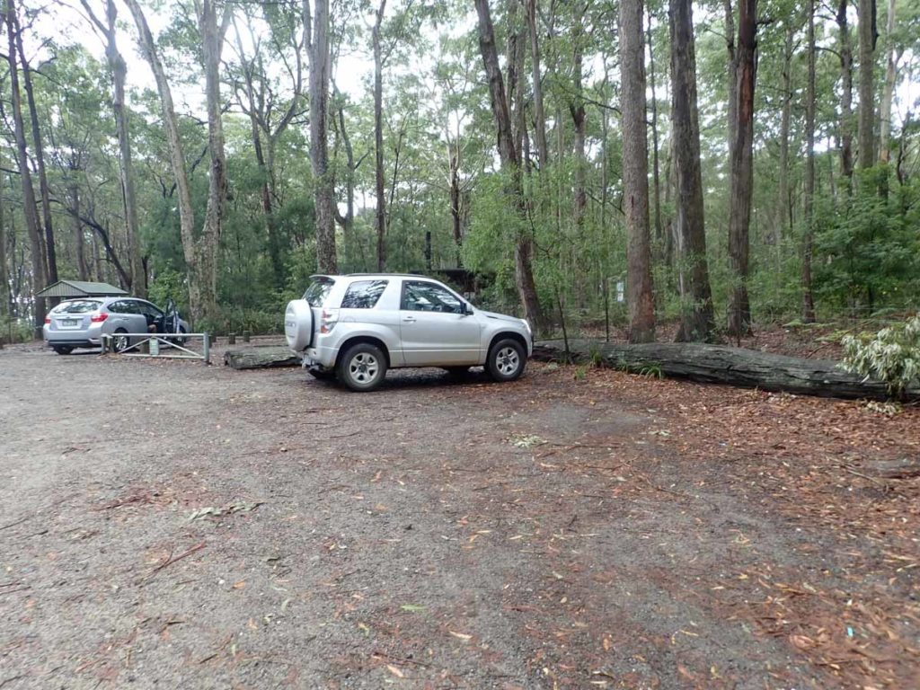
Once you turn off the highway the road is dirt but in good condition and is relatively easy to follow. From the highway you travel about 3km to the trail head,. As you travel down Meroo Point road just remember that when you get to the fork in the road keep to the right and head to the camping area rather than taking the left fork to Termeil beach. When you reach the carpark at the trail head which is also the camping area there is a good number of car parks, a large information sign, and a decent set of toilets. Having said that if you head to this area in the Easter or Christmas Holidays it’s likely to be a bit busy.
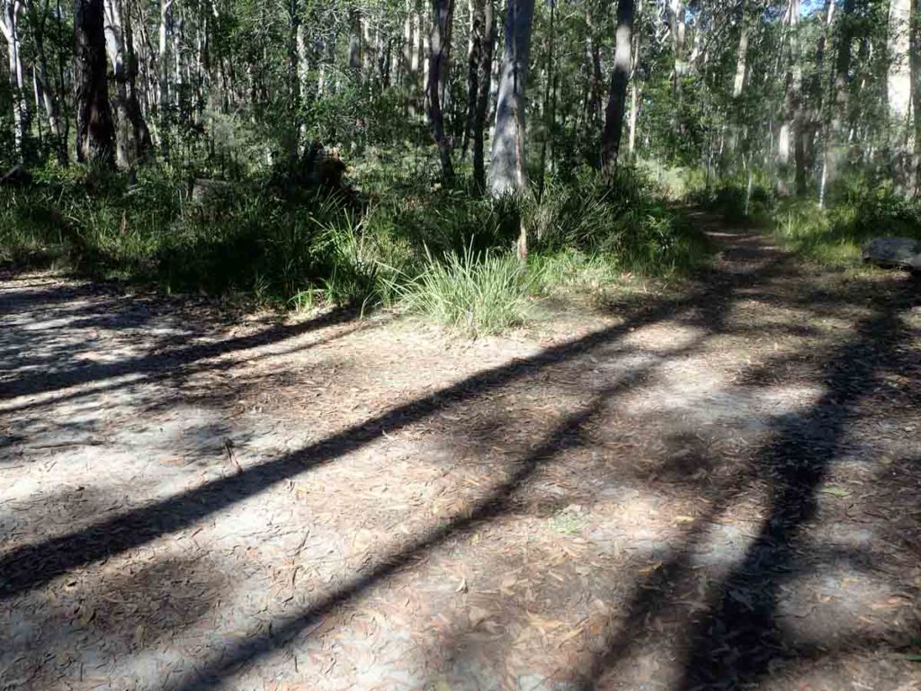
This walk is one of those ones that bats well above its weight. On the day we did this in early May the sun was out, it was pleasantly warm, and there was hardly any breeze. This meant that the sun filtered through the canopy of the trees throughout the walk.
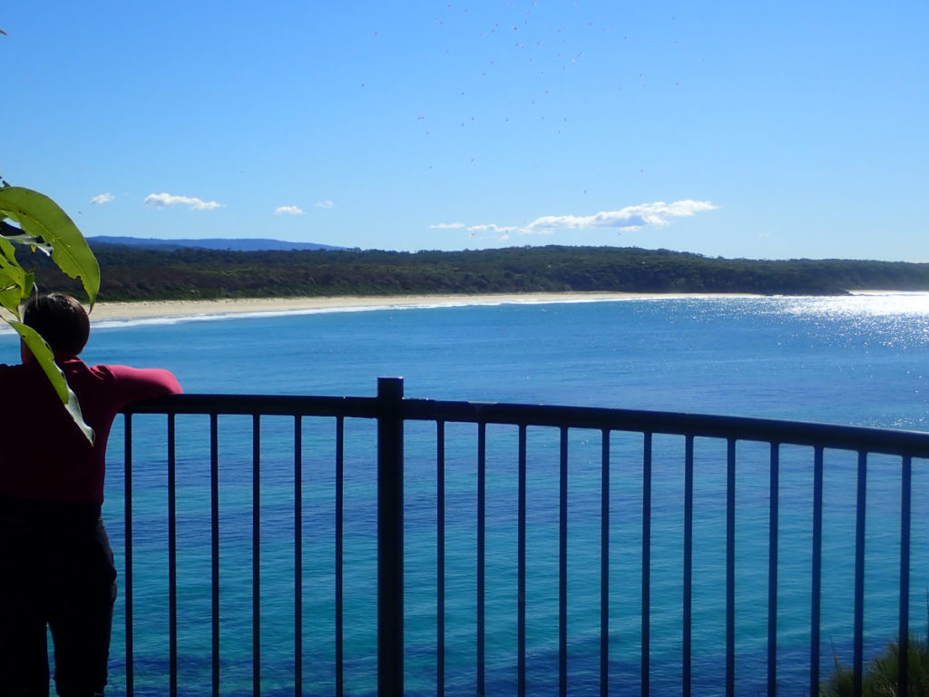
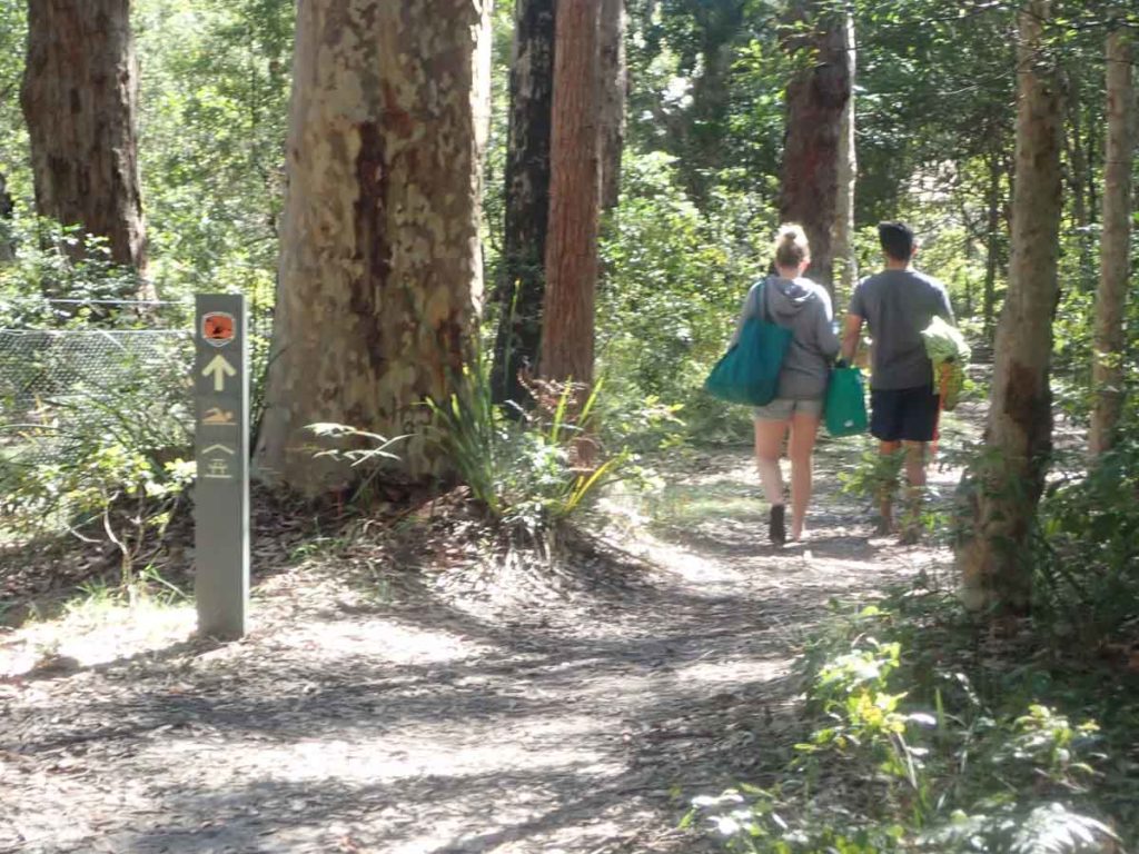
Start your walk at the the large information sign near the toilet block but rather than heading straight up the the lookout which will make for a walk just under 1km start your walk by taking the righthand fork in the path as if you are heading down t0 Shelly Beach but you will come across a sign pointing you to the Meroo Headland lookout. By doing the walk this way your walk becomes a 2km loop and will take you through some excellent open forest before coming out onto the lookout structure which provide great views tp the ocean not far below.
This walk starts at the Meroo Headland camping ground which has free camping (no bookings required) in large sites that you are allowed to sleep 6 people in. This is a cracker campers dream but also one that you could very easily set up a small tent and spend a couple of days exploring the headland and surrounding beaches. This little walk is relatively easy with no major gradient changes so will suit just about anyone.
If you plan on camping please check the NSW Parks Website to see if the campsites are open.
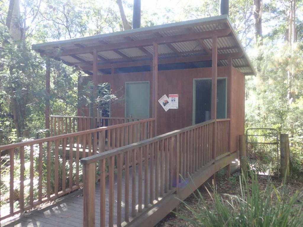
Toilet Block at Meroo Camping ground. bring toilet paper just in case
Take the fork to the right just past the toilet block and you will return on the fork on the left
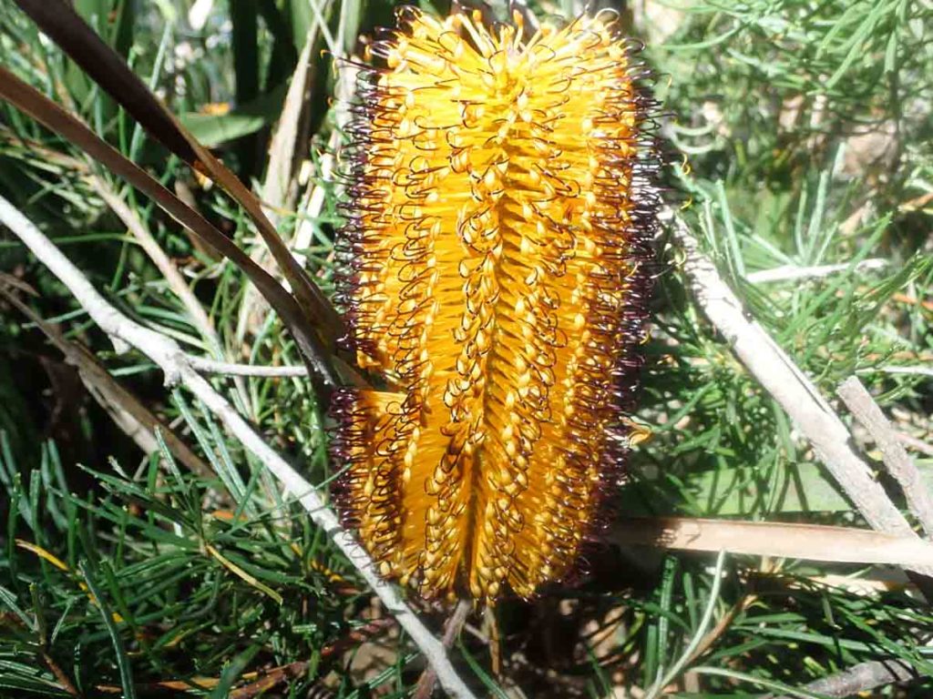
Banksia in flower
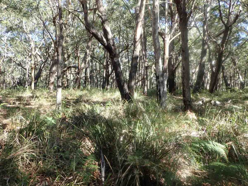
Native bushland
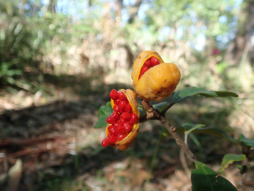
Native Pittosporum fruit
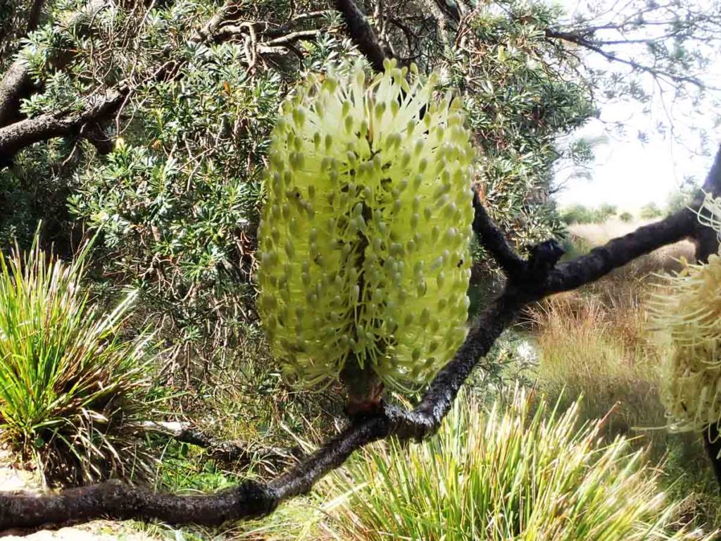
Another type of Banksia in flower
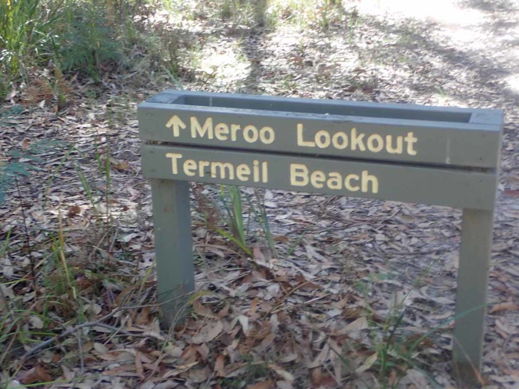
Follow the signage to the headland
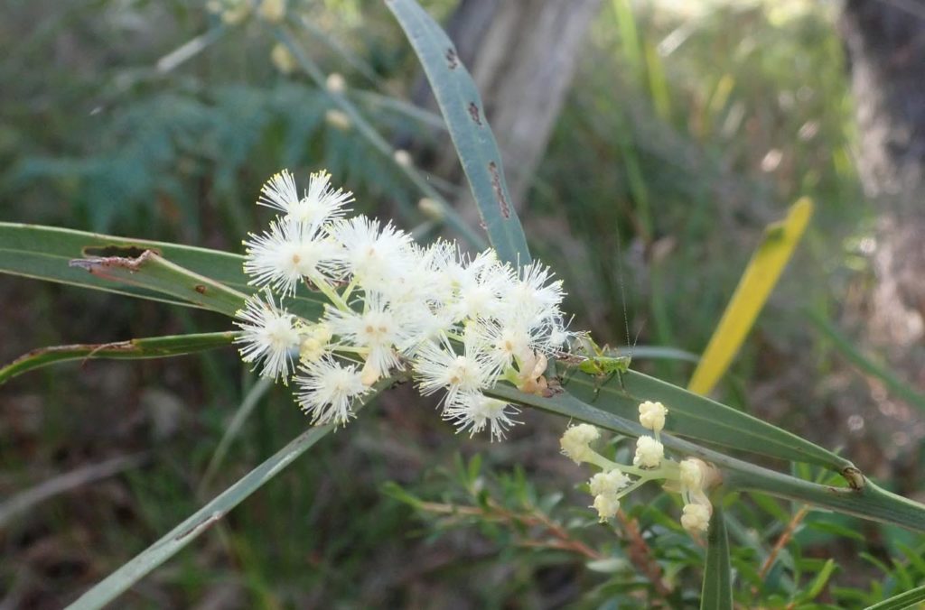
Wattle in flower
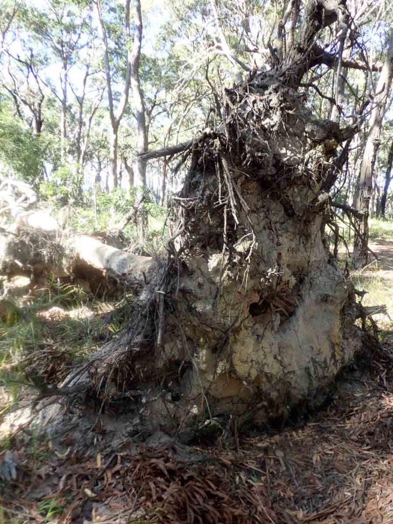
Up ended tree on trail
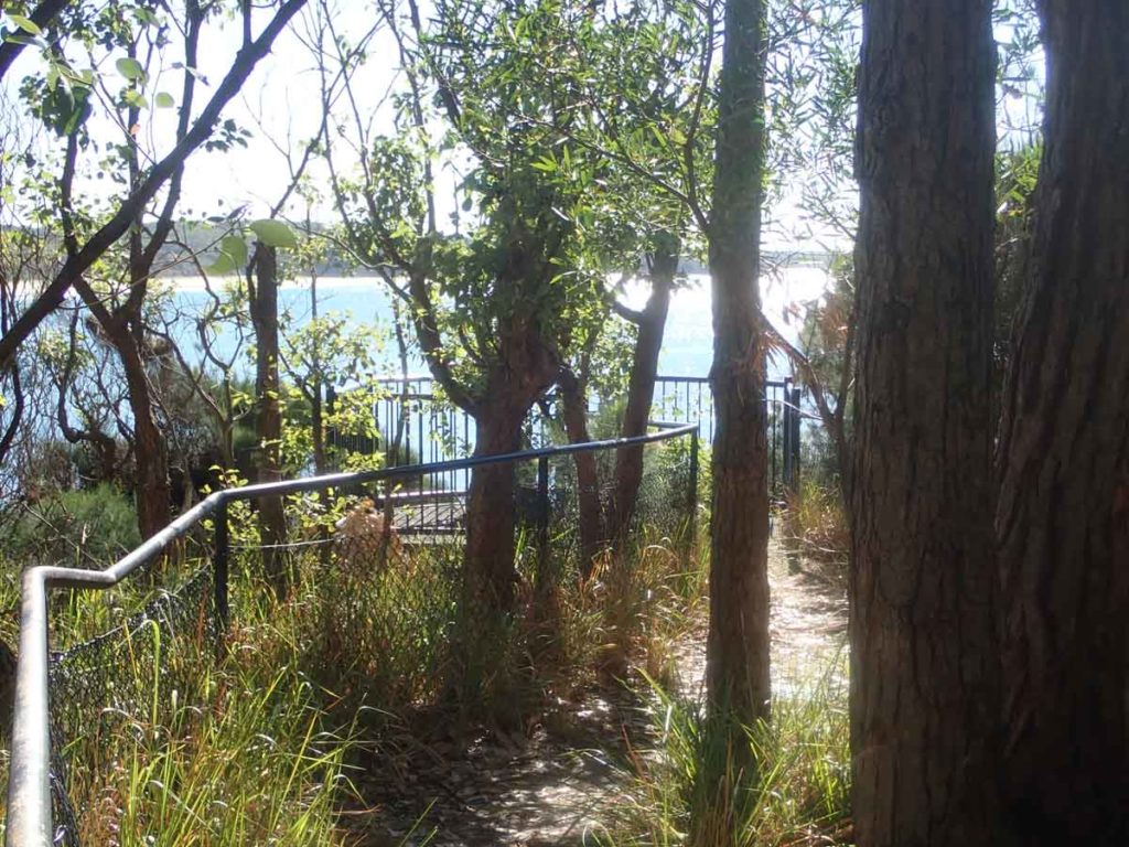
Approaching the lookout
Approaching the lookout
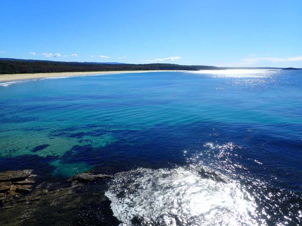
Ocean views from the lookout
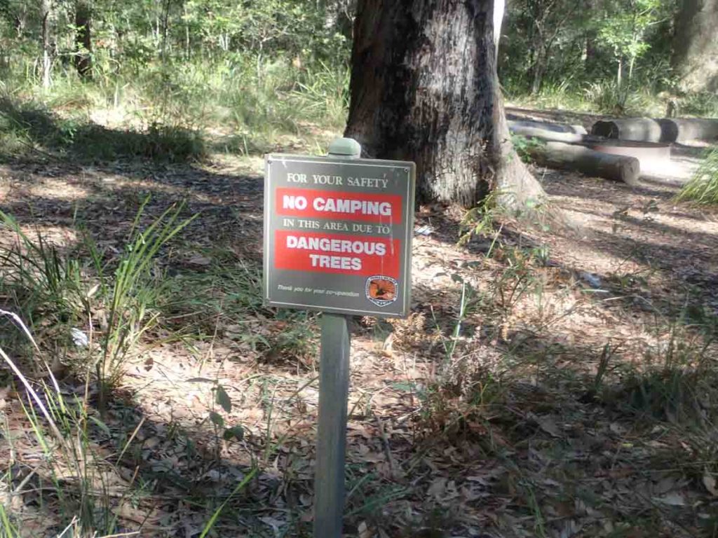
Watch where you camp
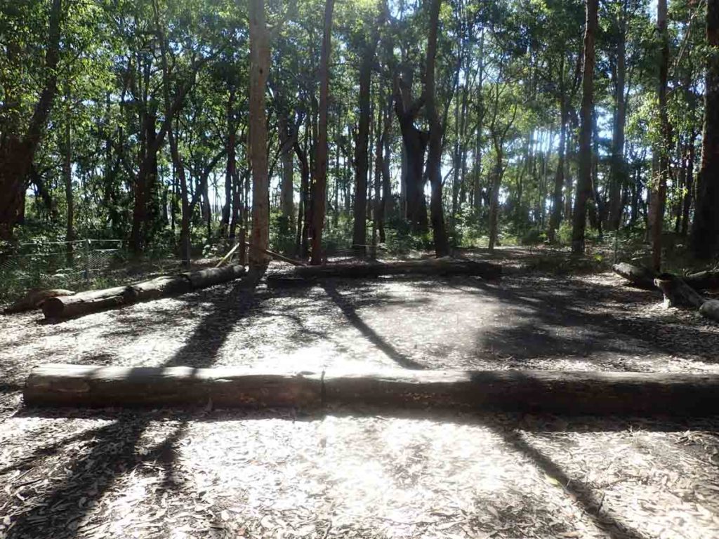
Typical camp ground
Down to the beach on the way back to the car park
Getting There
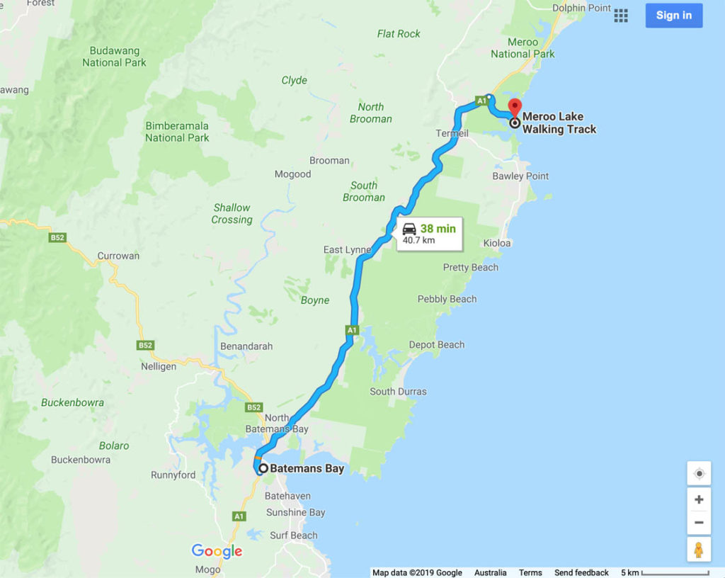
The trail head is just around 40km from the base of the Clyde Mountain heading north. Travelling from Batemans bay the turnoff road in on the right hand side of the highway
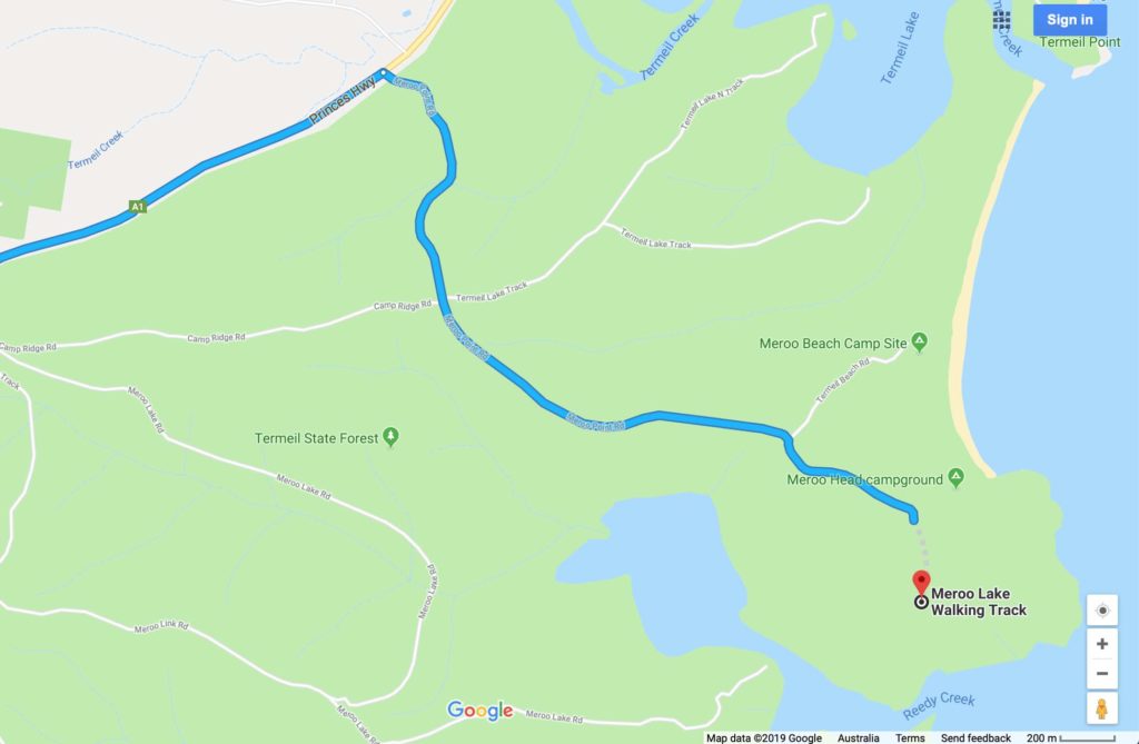
Access road close up from Google Maps. To find this road use Google Maps on your phone
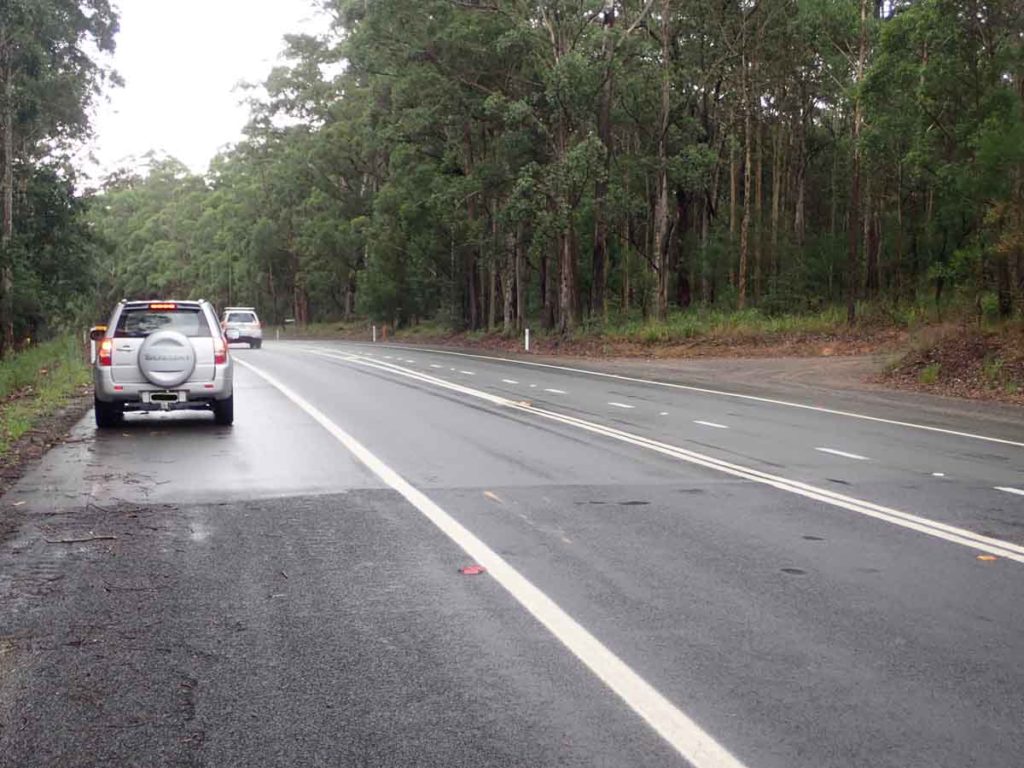
Meroo Point Road turn off. This road off the highway is poorly marked and if the traffic is heavy you may have to drive past the turn off and then turn around when you can
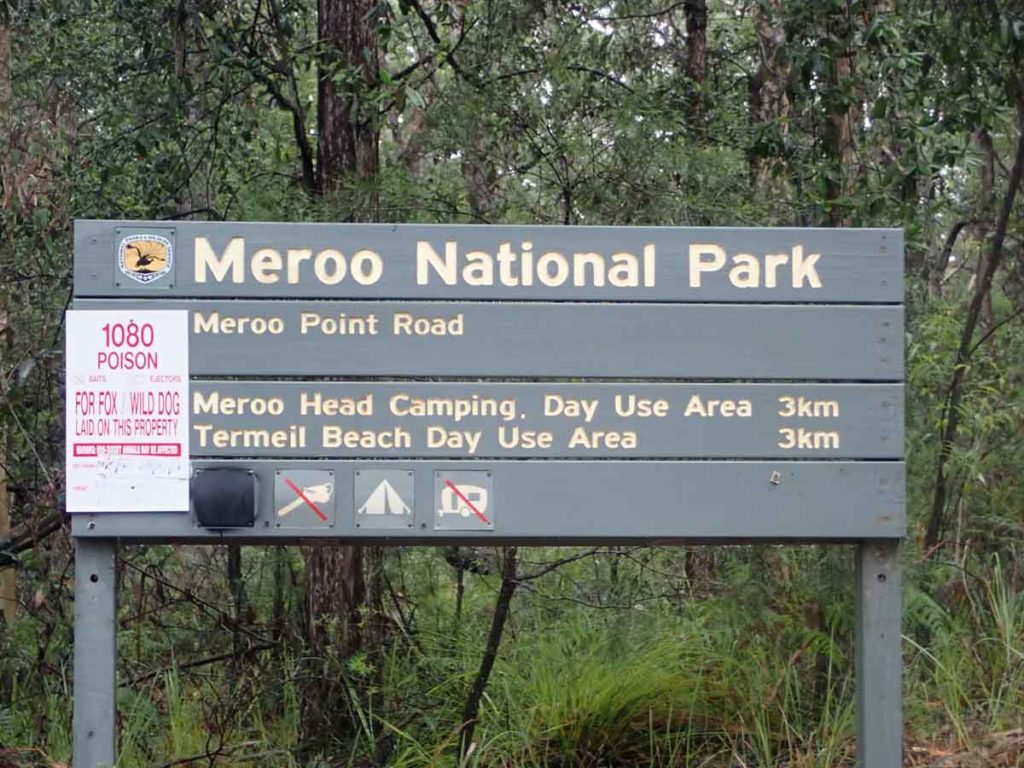
Park sign not far off the highway
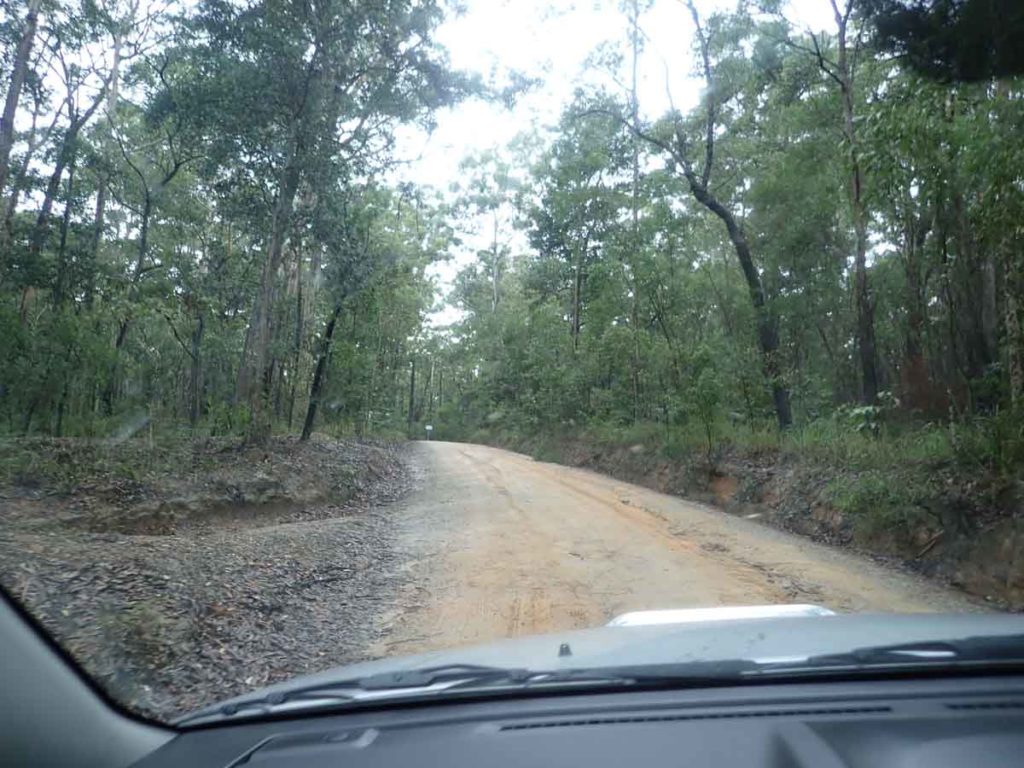
Meroo Point Road
Things to Know
- Phone: There is excellent phone signal on this track
- Water: You need to bring your own water
- Toilets:There are toilet facilities at the trail head although sometime there is no toilet paper so bring your own just in case
- Trail: Most of this trail is on management road with a smalls section on formed trail at the start of the walk
- Dogs: No dogs allowed
- Other:
- Dress for Ticks during the warmer months of the year
- This trail is walkable year round although parking may be an issue during the Easter and Christmas holidays
- If you are looking at camping check on the NSW National park website to see if the campsite is open
Disclaimer
This walk was undertaken by the team from Australian Hiker