Cape to Cape Track WA (128.7km)
Coastal Walking
Starting location
- Cape Naturaliste Lighthouse or
- Cape Leeuwin Lighthouse
We recommend starting in the north at the Cape Naturaliste Lighthouse and finishing in the south at Cape Leeuwin Lighthouse
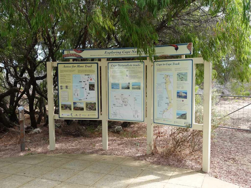
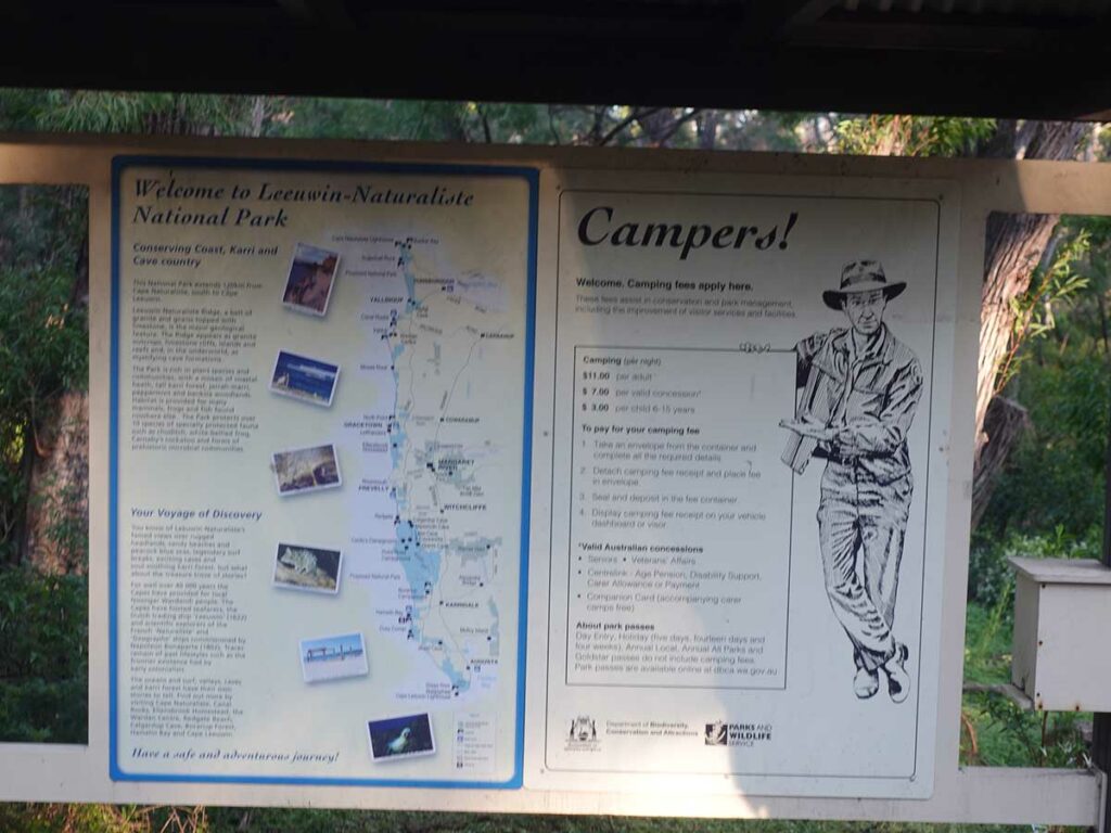
Trailhead signage at the Cape Naturaliste Lighthouse, Dunsborough, Western Australia
Finishing location
- Cape Leeuwin Lighthouse, Augusta, Western Australia
Best time to travel the Cape to Cape Track
Year round
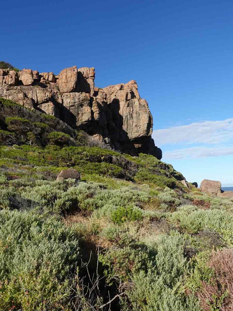
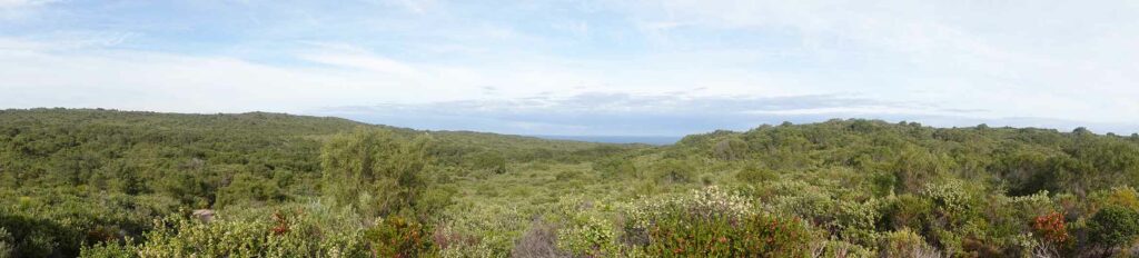
- Being a coastal hike this trail is very different to inland trails. The environment on the Cape to Cape Track is essentially mediterranean with most of the 1,000 mm rainfall occurring during the cooler winter months.
Summertime daytime averages (February)
- Maximum 27.1°C
- Minimum 14.4°C
- Rain days average 3 days
Wintertime daytime averages (July)
- Maximum 16.4°C
- Minimum 8.2°C
- Rain days average 19 days
The time of your hike will impact your reasons for doing this trail. Here are some things to consider:
- If you want a bit of solitude avoid school, Christmas, and Easter holidays
- If you want to see whales look at hiking June to July
- If you want wildflowers look at September to mid October
- If you don’t like the heat avoid November to March as the temperatures can get quite hot compared to the seasonal averages
- If you don’t like the rain, skip May to September (July is the wettest month of the year)
Map
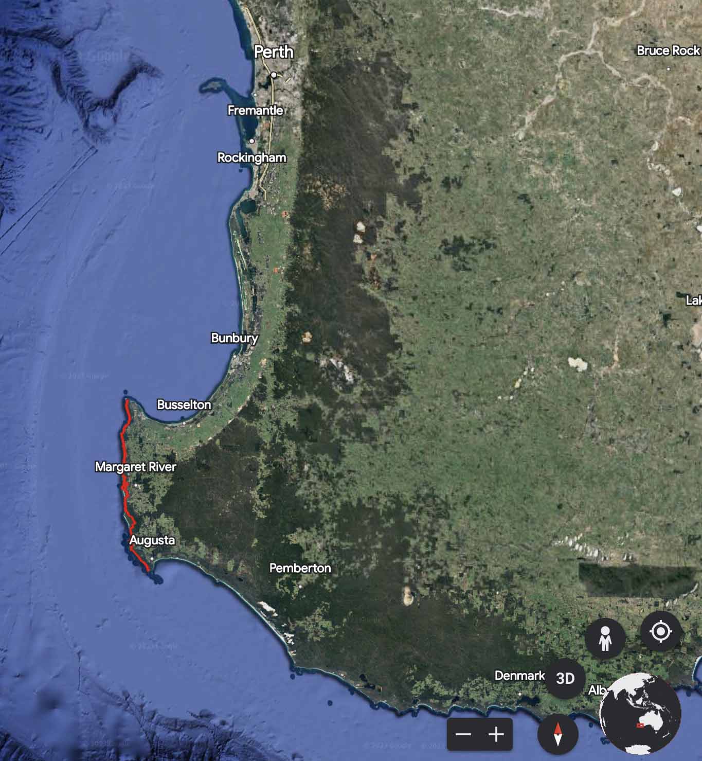
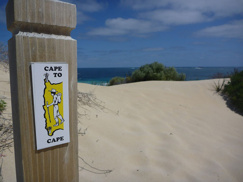
Trail image for the Cape to Cape Track, Western Australia – 128.7 km in total (bypassed the Margaret River mouth crossing). This trail starts at the Cape Naturaliste Lighthouse approximately three hours drive south of Perth
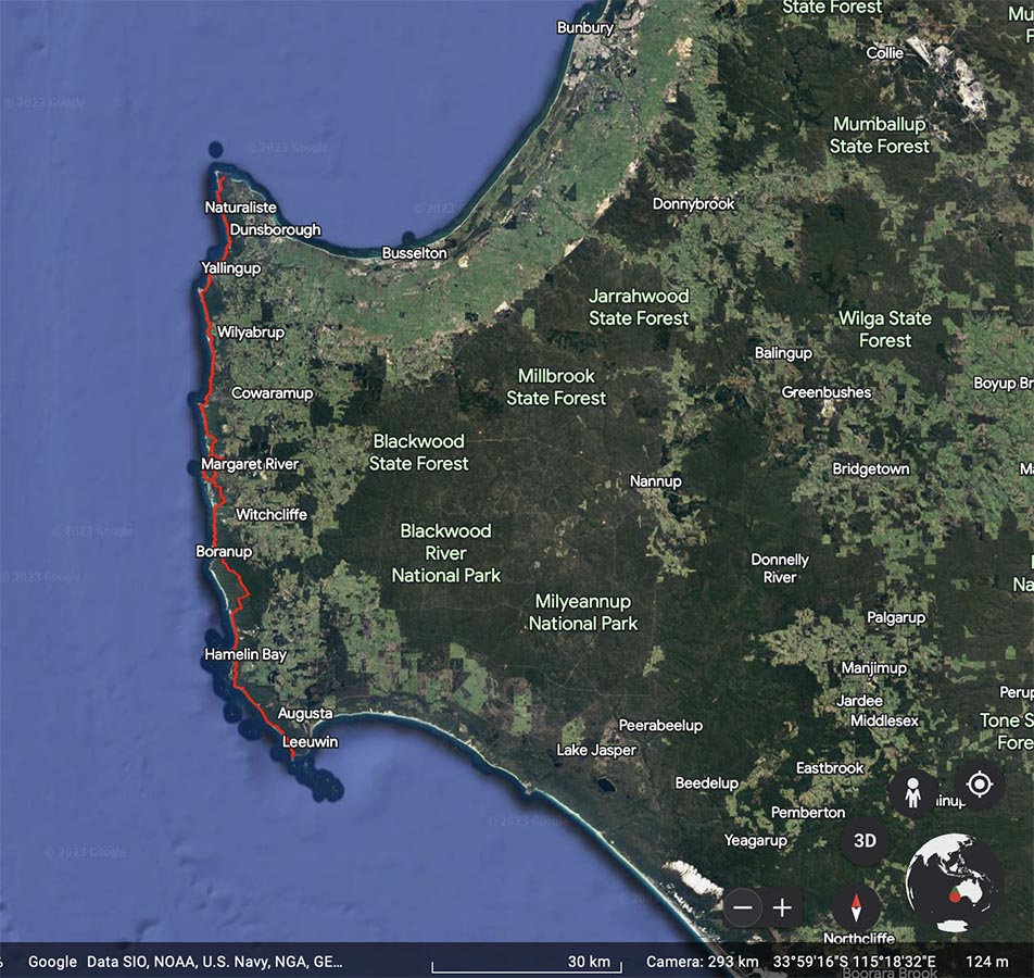
Google map showing the Cape to Cape Track
Nearest Town
- Dunsborough in the north (approximately 12 km to the trailhead)
- Augusta in the south (approximately 10 km to the trailhead)
Trip Podcasts
If you want some additional information have a listen to the series of podcasts on this trip:
- Australian Hiker Podcast Episode 251 Expectations
- Australian Hiker Podcast Episode 252 Part 1 On trail episode
- Australian Hiker Podcast Episode 253 Stop-Start
- Australian Hiker Podcast Episode 265 Part 2 On trail episode
- Australian Hiker Podcast Episode 266 Expectations versus Reality
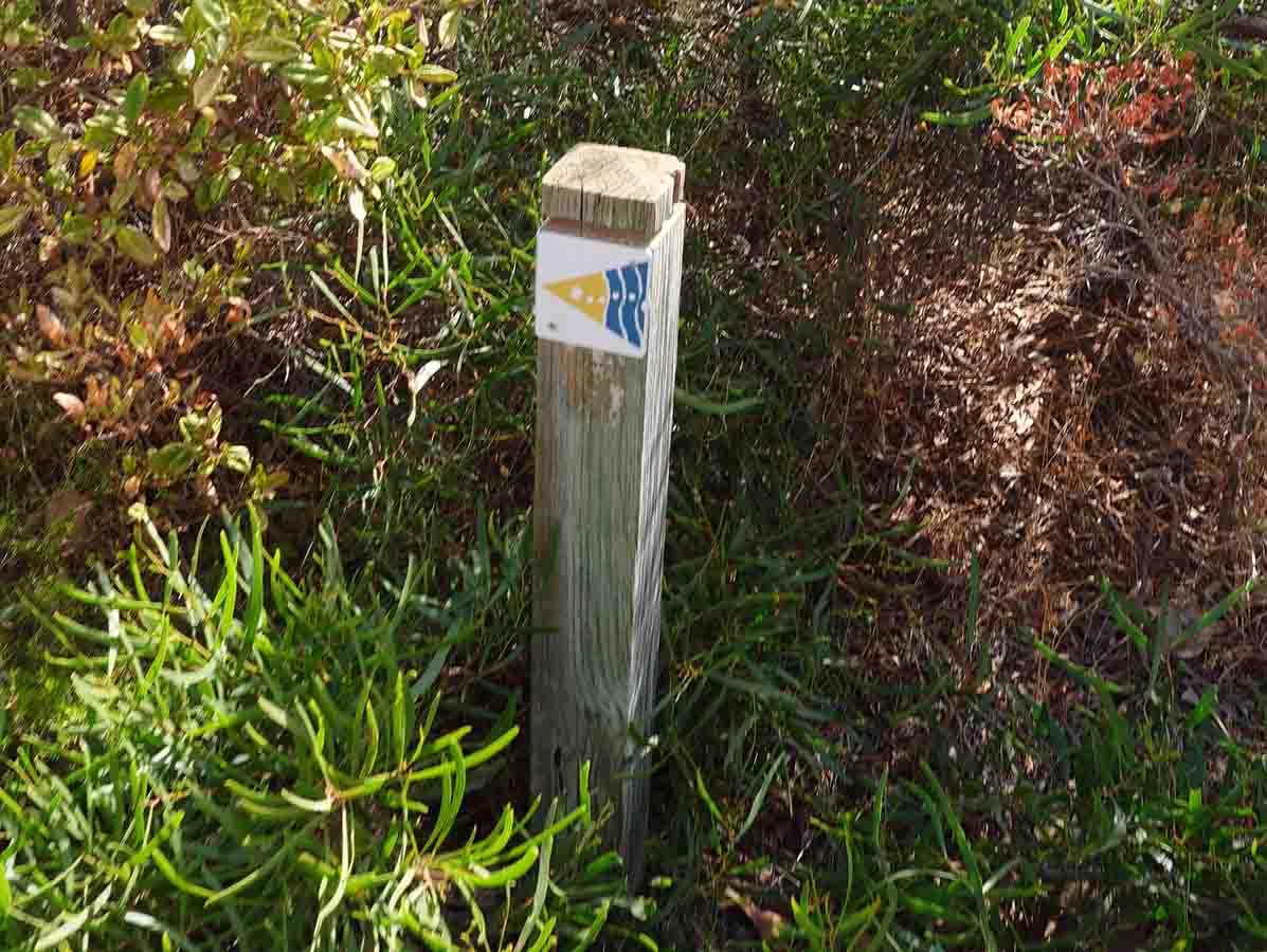
Trail marker Cape to Cape; your ever present friend on the trail
This was the older trail marker and you will still come across the occasional older signs along the trail but there aren’t many
Our Trip
The Western Australian Cape to Cape Track is one of those trails we’ve had on our list for a number of years and for one reason or another, had never seemed t0 get the opportunity. Our original intention was to complete this walk in one go as a thru hike but due to illness we found ourselves getting off trail 2.5 days into the trip and then returning later in the year to finish this walk in what can be described as a section hike.
The following write-up will take you through this trip day by day. Based on our experience, we offer some suggestions on how to get the best from this adventure. In addition, we have released a series of five (5) related podcast episodes (see links above/below) that provide an alternative way of finding out more about this trail.
There is a slide show of this walk containing many more images and videos than we could possibly include in this write-up that provide a visual overview of this trail.
Our Itinerary
Measured distances for each day
- Day 1 (10.3 km)
- Transport from Perth to Bunbury by train
- Transport from Bunbury to Dunsborough by bus
- Transport from Dunsborough to the trailhead at Cape Naturaliste Lighthouse
- Hiking from Cape Naturaliste Lighthouse to Mount Duckworth Campground
- Day 2 (22.8 km)
- Hiking from Mount Duckworth Campground to Mosses Rocks Campground
- Day 3 (11.1 km)
- Hiking from Mosses Rocks Campground to Gracetown
- Day 4 (20.9 km)
- Hiking from Gracetown to Prevelly Caravan Park
- Day 5 (17.6 km)
- Hiking from Prevelly Caravan Park to Conto Campground
- Day 6 (21 km)
- Hiking from Conto Campground to Hamelin Bay Holiday Park
- Day 7 (24.98 km)
- Hiking from Hamelin Bay Holiday Park to the trailhead at Cape Leeuwin Lighthouse
Return to Perth by car
Total distance walked 127.8 km
The Lead Up
For us 2023 was a busy year so with limited time we decided to do one multi-day walk of around 6-7 days in length and settled on the Cape to Cape Track because it fitted the bill quite nicely, particularly since we hadn’t been to WA for around five years. While we usually opt to do our walks towards the end of winter preferring the cooler conditions, we started this walk in early April to take advantage of the Easter holidays and adding a few extra days to get the trip done.
While the length and type of trail were spot-on, being an interstate traveller meant logistical considerations were a bit of a nightmare – it really did end up with a ‘planes, trains, and automobiles’ scenario; more on this later.
This walk is one of those ones that while there is nothing stopping you from starting at either end of the trail. The public transport options provided by TransWA make either direction suitable however there are pros and cons. Initially we looked at starting this walk from the southern trailhead of Cape Leeuwin and travelling north. After a frantic period of planning that at one stage had me looking at other trails due to the lack of accomodation options because it was Easter. However, I worked by travelling south I was able to overcome this issue and the trip went ahead at our chosen time.
It’s worth noting that if you’re doing trips in Western Australia, wild camping isn’t allowed in most areas of the state so you are tied to the designated camping/accomodation options to complete your trip.
Our intent was to complete this walk over seven days, in one go but we ended up completing this trip in two visits with the first section completed in April and the bulk of the trip undertaken in July-August. This split gave us the the unintended opportunity to use different logistical options for managing the trip – it also confirmed that travelling south was the best option.
Planes, Trains and Automobiles
Travelling interstate to undertake a walk adds a whole new layer of complexity. First it was the complexity of planning a walk over the Easter Holidays which makes things so much harder but when you choose a walk that starts from a regional town it just makes it so much harder.
We flew into Perth on a direct flight from Canberra and stayed the night in the city, choosing a hotel that was very close to the train station we needed the next morning. After a leisurely breakfast we walked the roughly 800 metres to the train station for the first leg of our journey from Perth to Bunbury. at Bunbury we changed over to a bus for our final leg that would take us to Dunsborough which is the closest town to the Cape Naturaliste Lighthouse and the trailhead.
After picking up our gas (the bus stops across the road from the outdoor store) and having lunch we called a taxi. We were surprised at how busy the local service was as everyone was heading out and about so we had to wait for around 30 minutes for the cab to arrive. Our other option was a 12 km walk to the trailhead!
Our original return trip was a bus from Augusta back to Bunbury and then picking up the train back to Perth. As such we allowed ourselves a spare day just in case we took longer on the walk than planned. This is a logistically fiddly walk with lots of moving pieces so keep that in mind when planning.
Perth Train Station
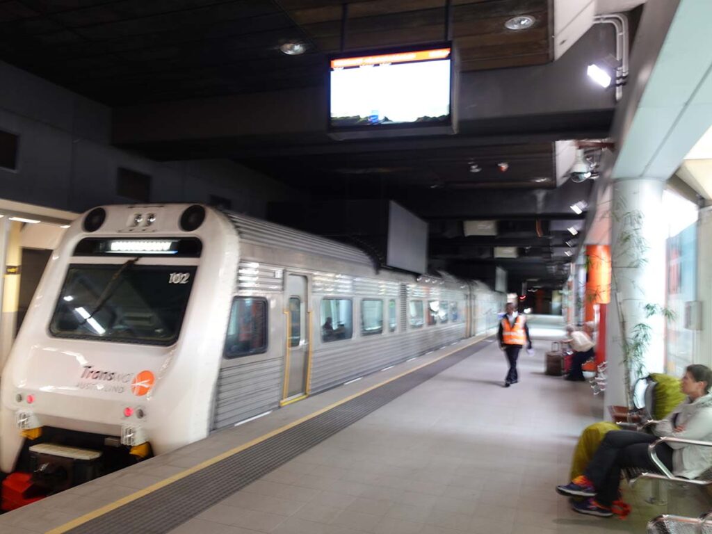
Our train south to Bunbury and we then caught a bus from Bunbury to Dunsborough
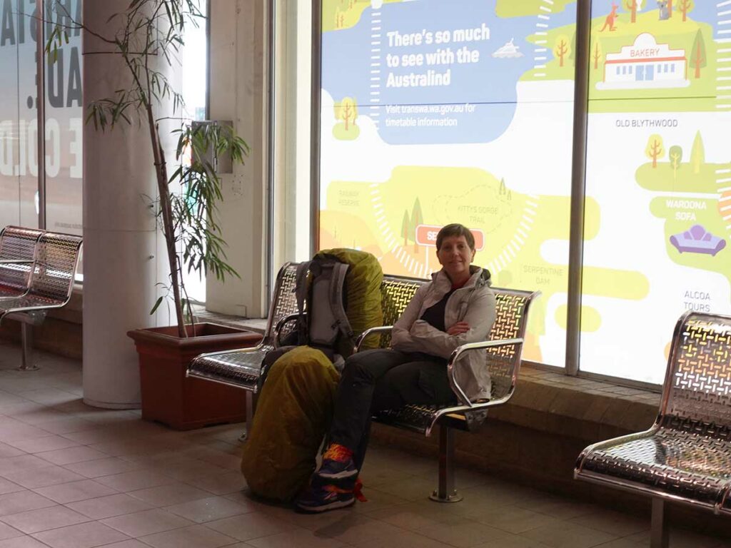
Gill waiting for the train at the Perth Station
Day 1 Cape Naturalise Lighthouse to Duckworth Campground (10.3 km)
- Distance: 10.3 km
- Time Travelled: 2.5 hours
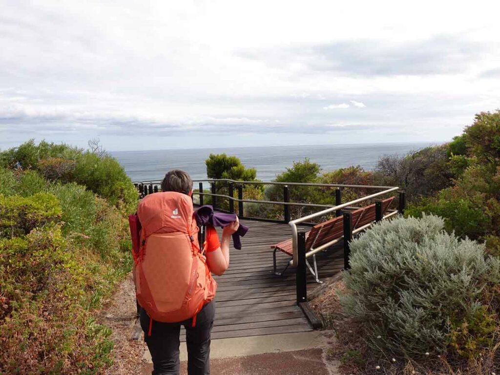
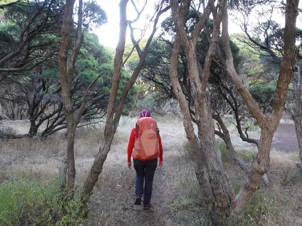
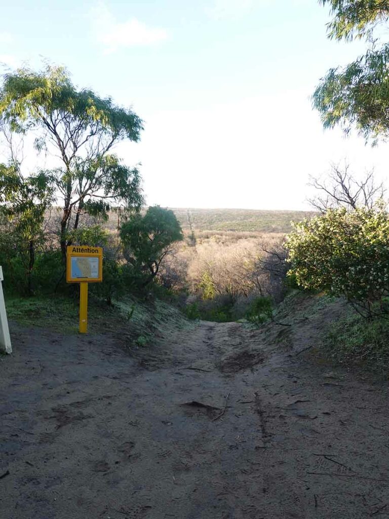
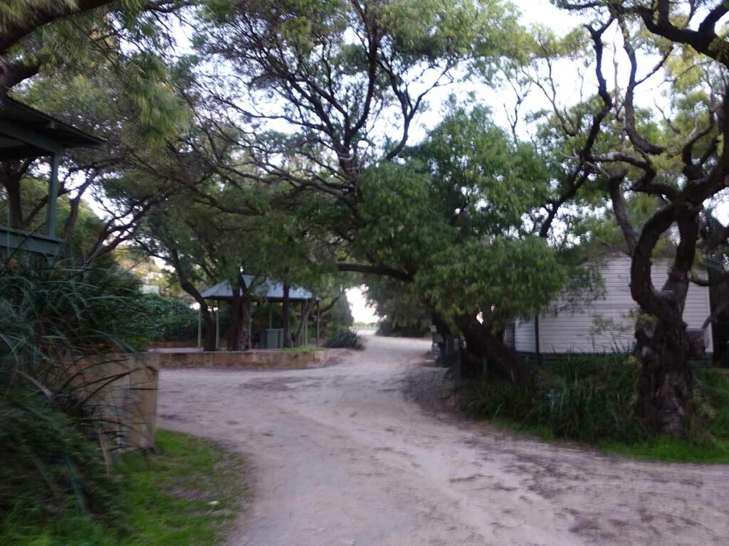
Having spent the morning getting from Perth to the trailhead, today was planned as a short day taking us 10.3 km to the first campsite on the trail which was Mount Duckworth. We were dropped off at the Cape Naturalise Lighthouse just before 3:30pm and the thing we immediately noticed was the flies. They were everywhere and really annoying. As someone who usually hikes in late winter flies aren’t typically an issue so I didn’t bring a head net with me which was a big mistake. Gill on the other hand did. I ended up putting a buff over my mouth which prevented the worst of the problem (eating flies) and thankfully this was only an issue on this day.
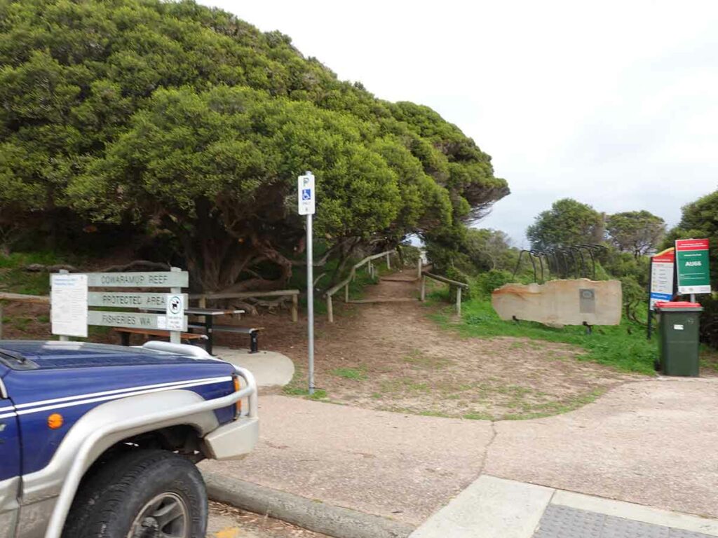
The trailhead itself at Cape Naturaliste is well set up and given the lack of any fanfare at Cape Leeuwin to the south it’s very obvious that the trail has been designed with a southerly direction in mind. As we were to learn over the coming days, the trail signage is also better when travelling from north to south.
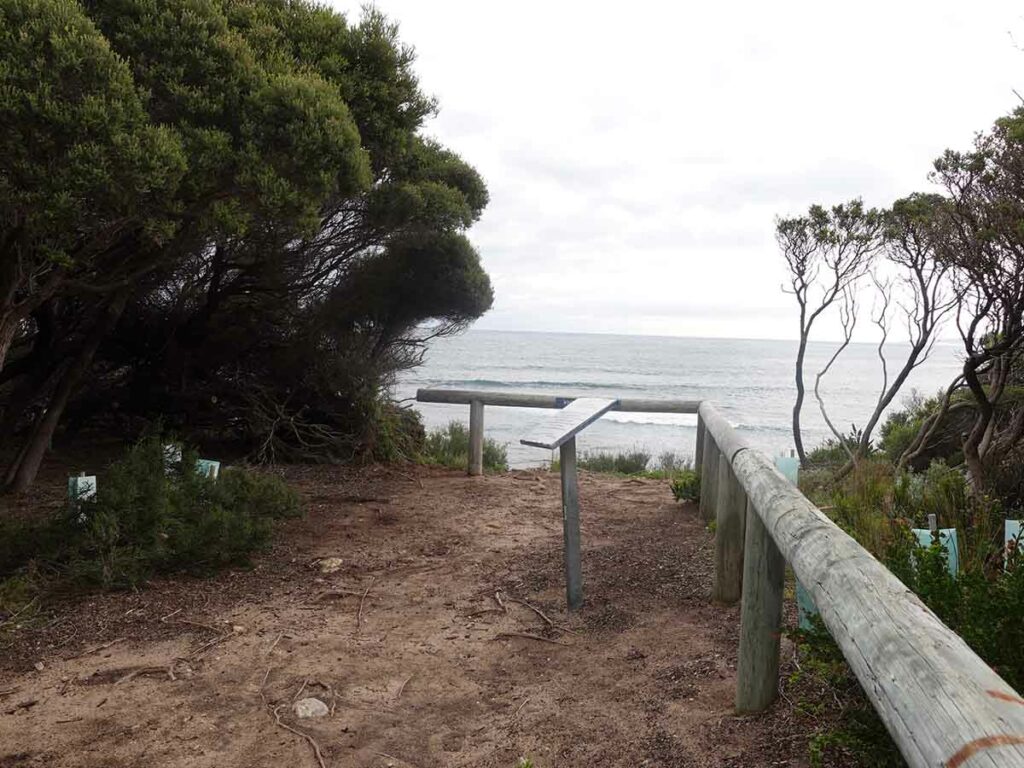
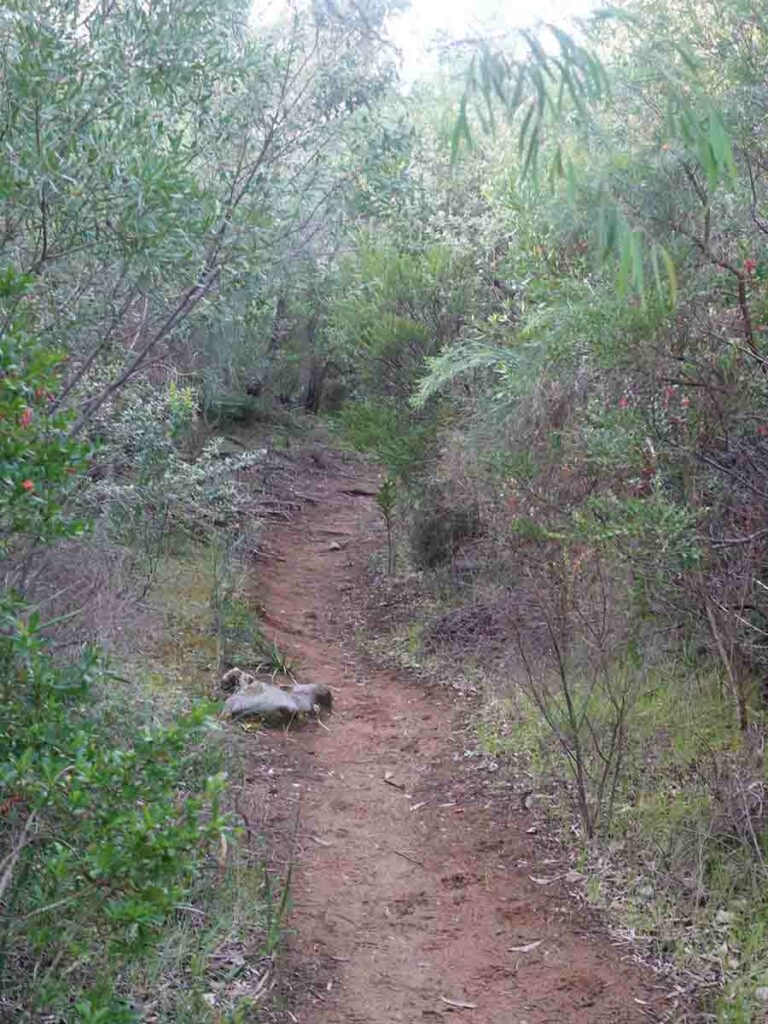
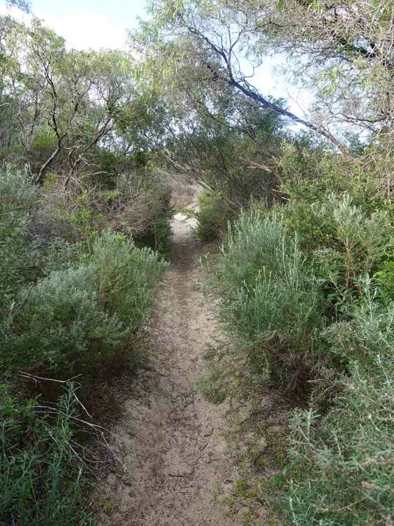
The first section of the trail which takes you down to an ocean lookout is on bitumen path but once you get past this point the trail narrows and you eventually end up on natural formed trail. Our one and only snake on this trail was a lovely glossy Dugite that was sunning itself on the path and shot off very quickly into the bushes as we approached.
The trail sign-in book is just past the tourist road access to Sugarloaf Rock. These tourist car parks are dotted all the way along this trail and with them often comes a toilet which is quite handy if you are in need.
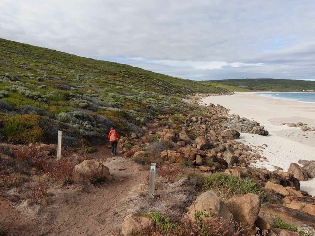
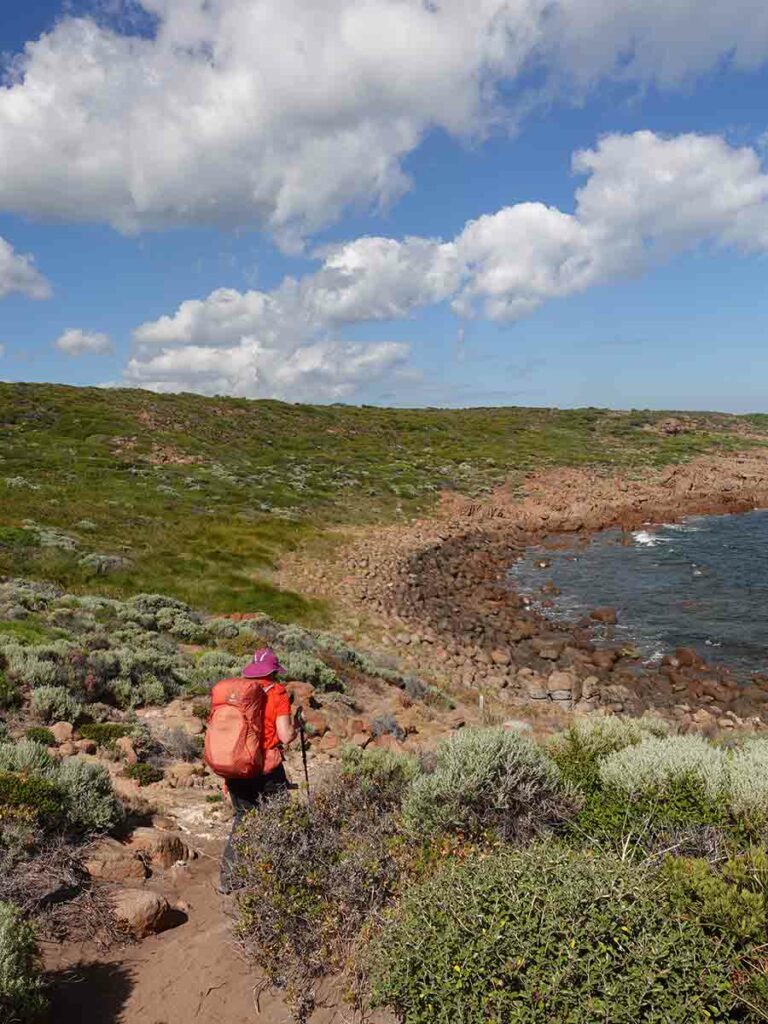
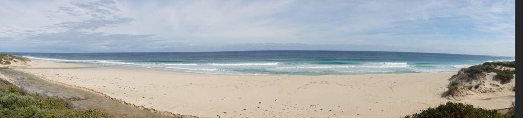
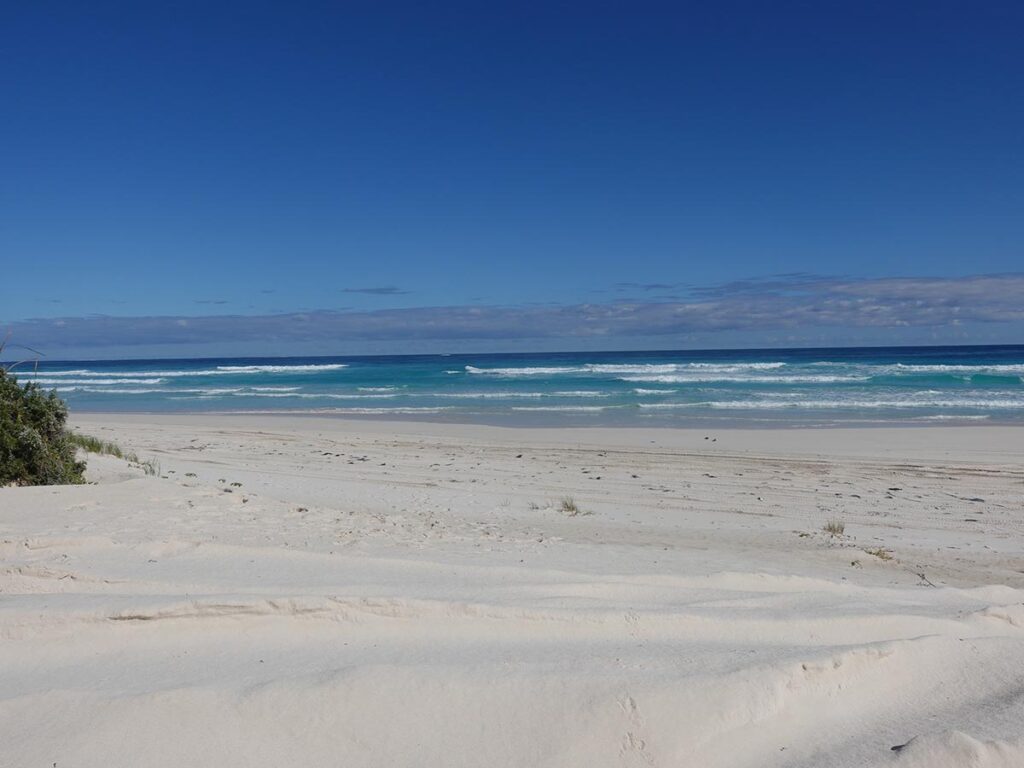
The walk itself for this day pretty much hugged to coast including some beach walking, providing some very lovely views over the Indian Ocean. I’m used to NSW beaches which in most cases have firm sections that make walking very easy however the WA beaches and sandy management roads are very soft making what seem like short distances hard going.
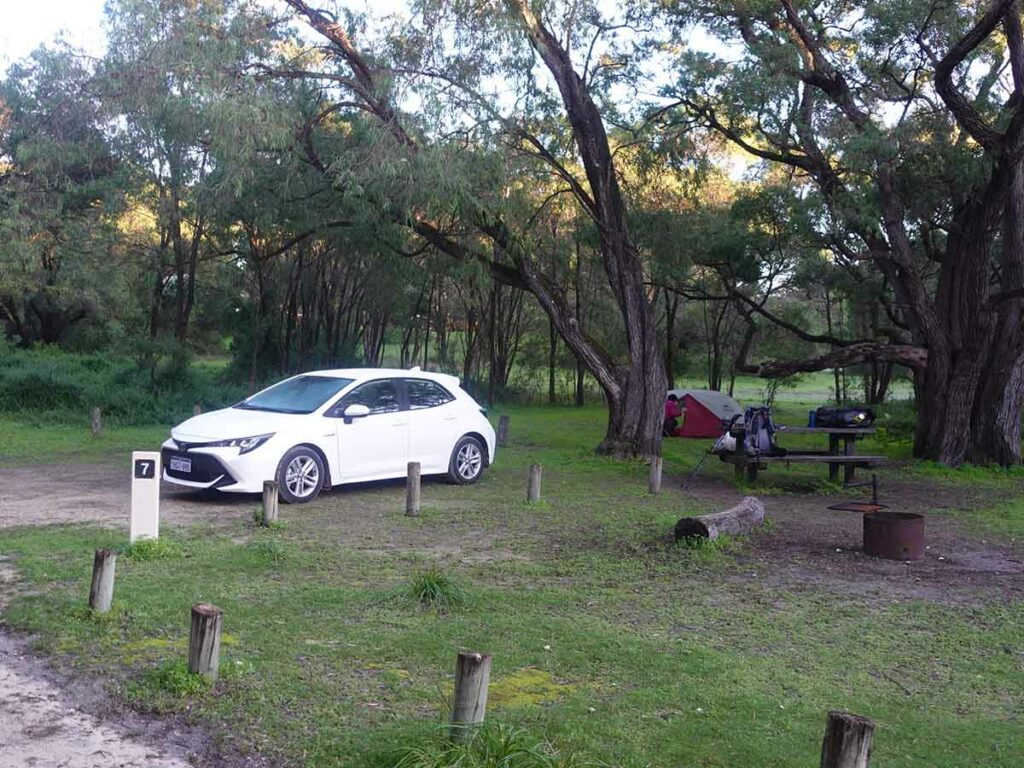
We hit Mount Duckworth campsite 2.5 hours later and at that stage there was one other couple who had already set up their tent on arguably the flatest site but so we had plenty of choice so picked the best option which also had a picnic bench with it. A school group arrived not long after us and spread themselves around the rest of the large site. This site is really only accessible to walk-in hikers.
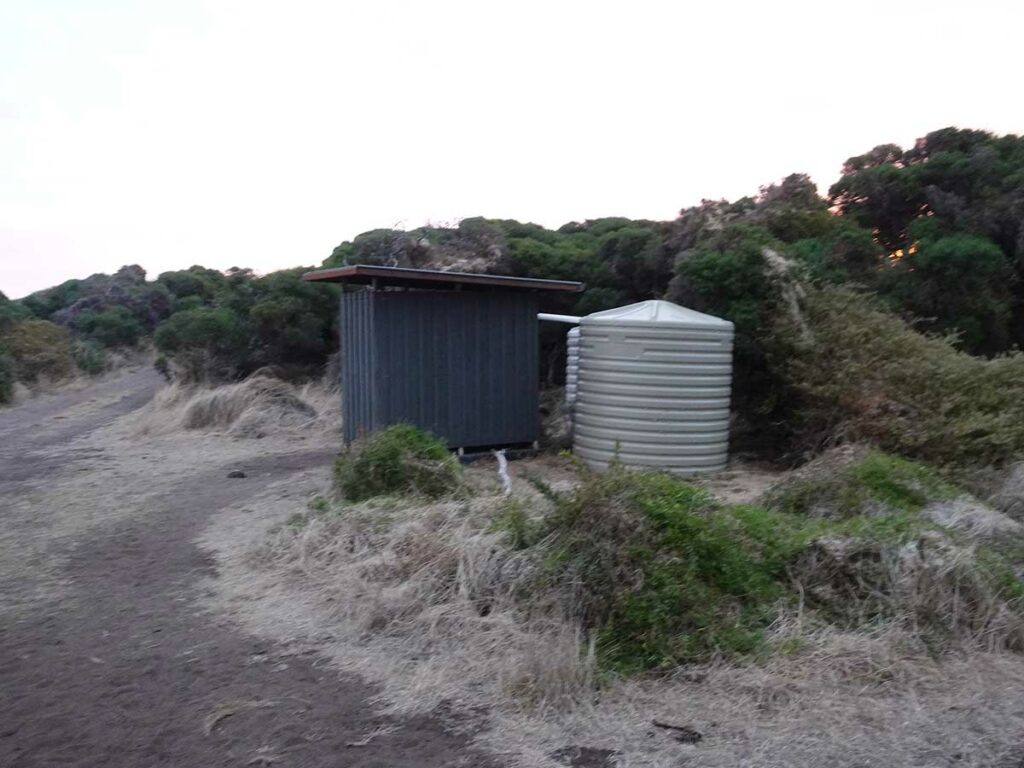
Mount Duckworth has a water tank and toilet and it’s worth noting that we had to fight our way through the bees that were also drinking from the same water source. I left filling up our water until early the next morning and timed it well managing to beat the bee issue but they were back not long after. The toilets are the typical long drop toilets and there was plenty of toilet paper.
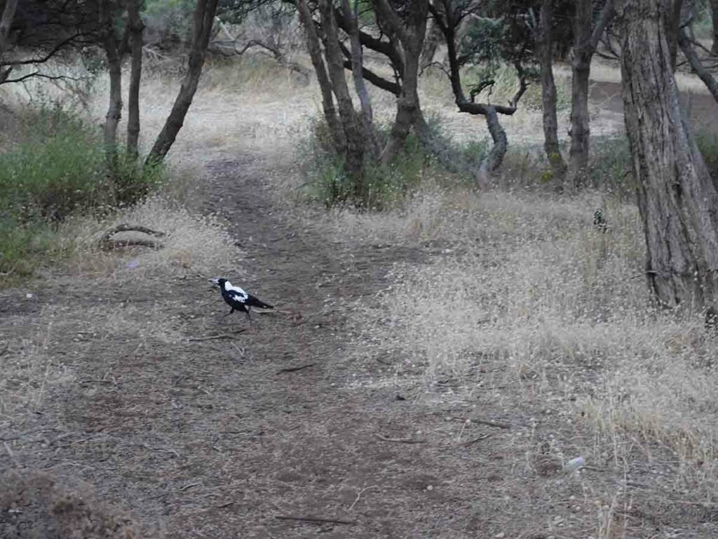
This campsite like many others has birds that will take advantage of hikers if they leave their food unattended.
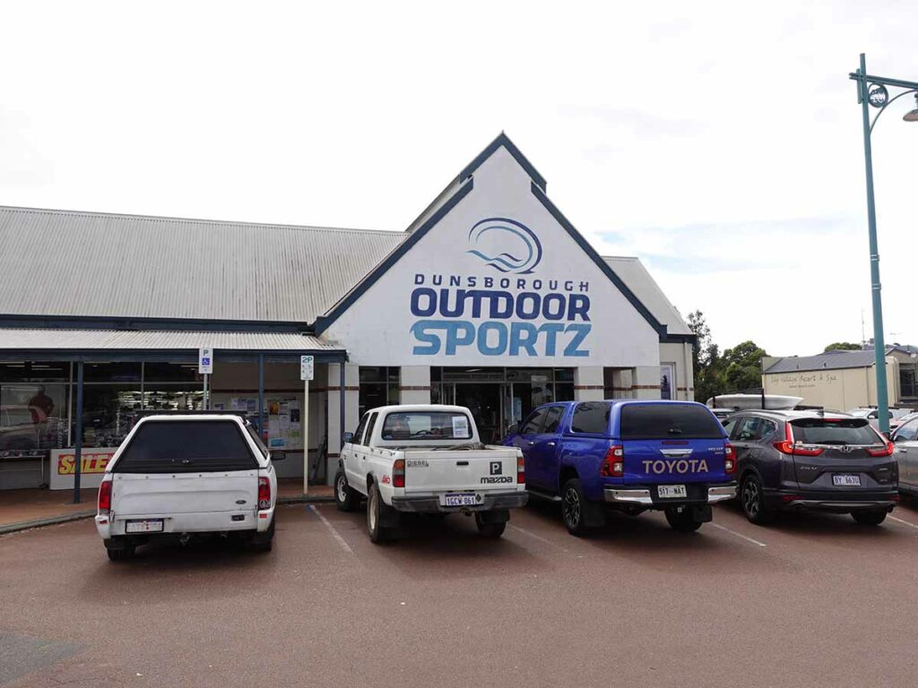
When we arrived in Dunsborough the bus stopped across the road from the outdoor store and we had arranged to pick up gas. We then had lunch and caught a taxi to the trail head which was about a 12km trip
Trail head signage at Cape Naturaliste
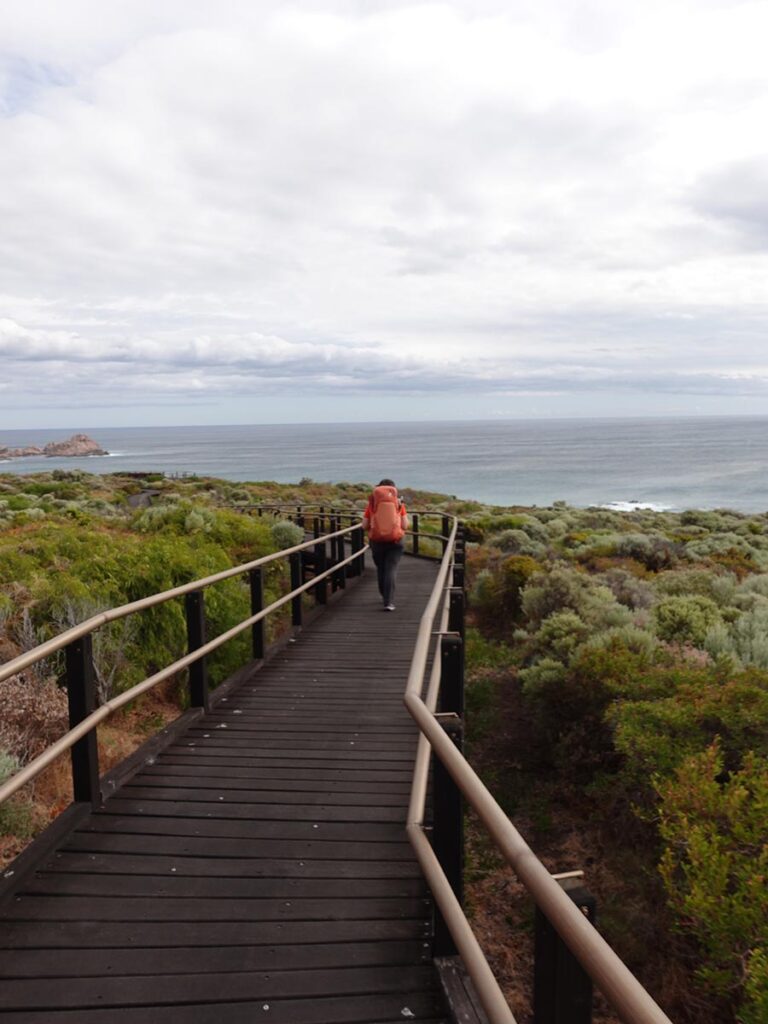
Boardwalk near trail start
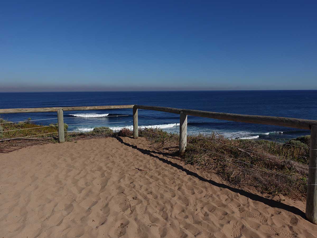
Lookout not long after starting the walk on day 1
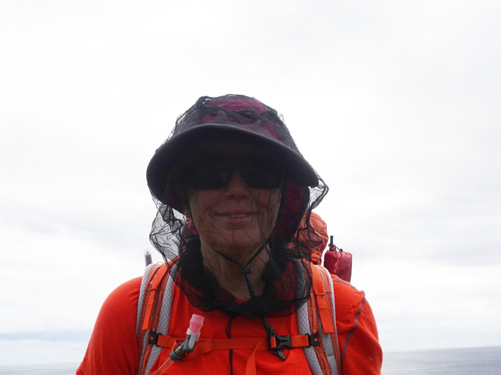
Bring a head net in the hotter months
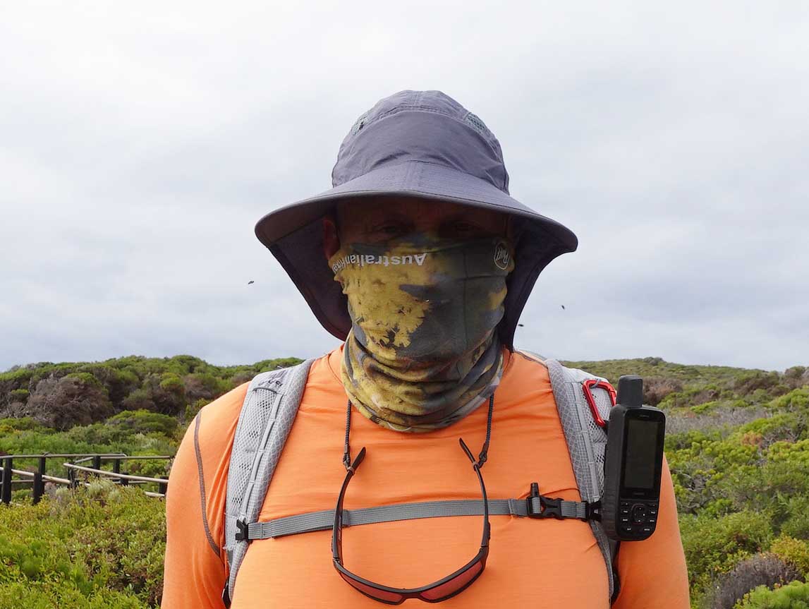
And I forgot my head net so I used by buff over my face to stop me eating flies
Across the access road to Sugarloaf rock. Lookout for vehicles, particularly on the weekends
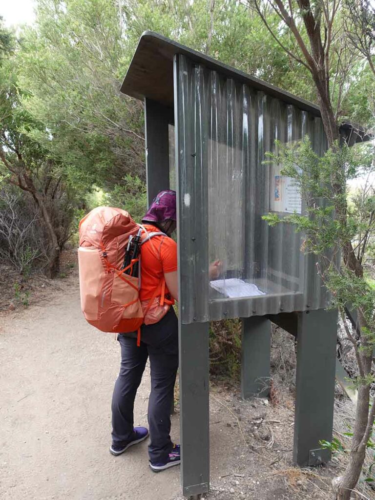
Gill signing the trail register at the start of the walk
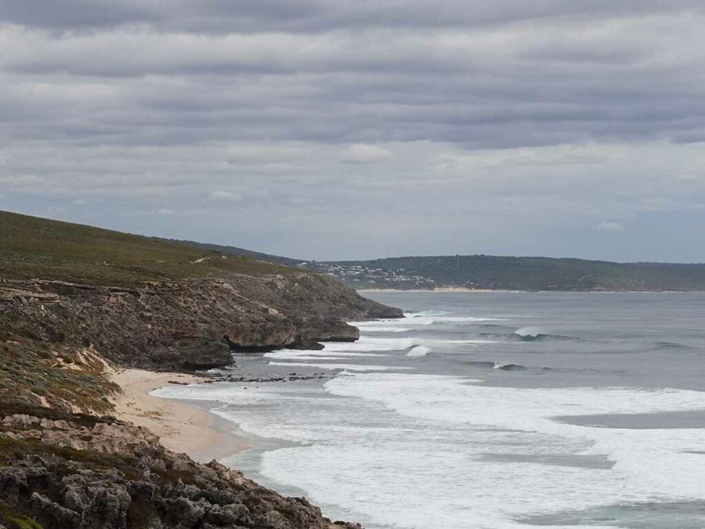
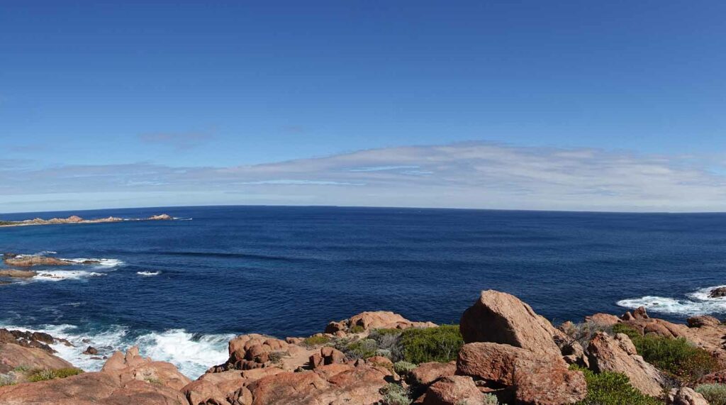
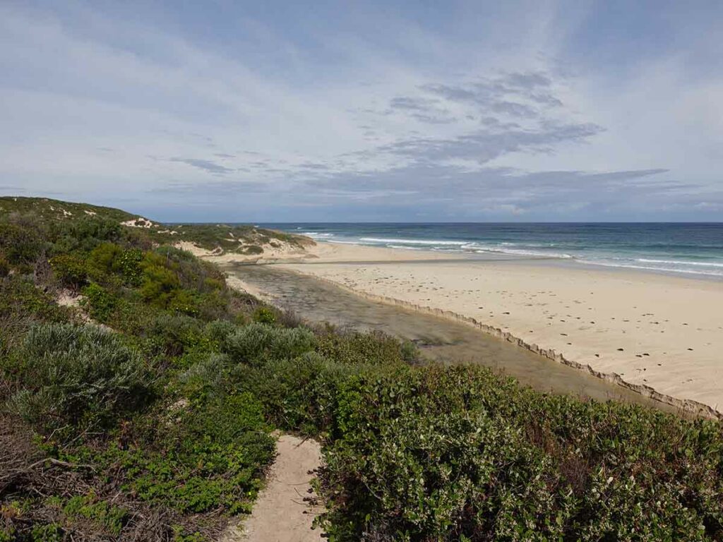
Coastal view day 1
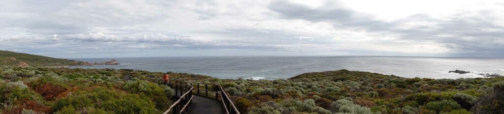
Panorama image day 1 Cape to Cape
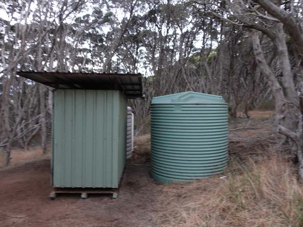
Mount Duckworth toilet and water tank
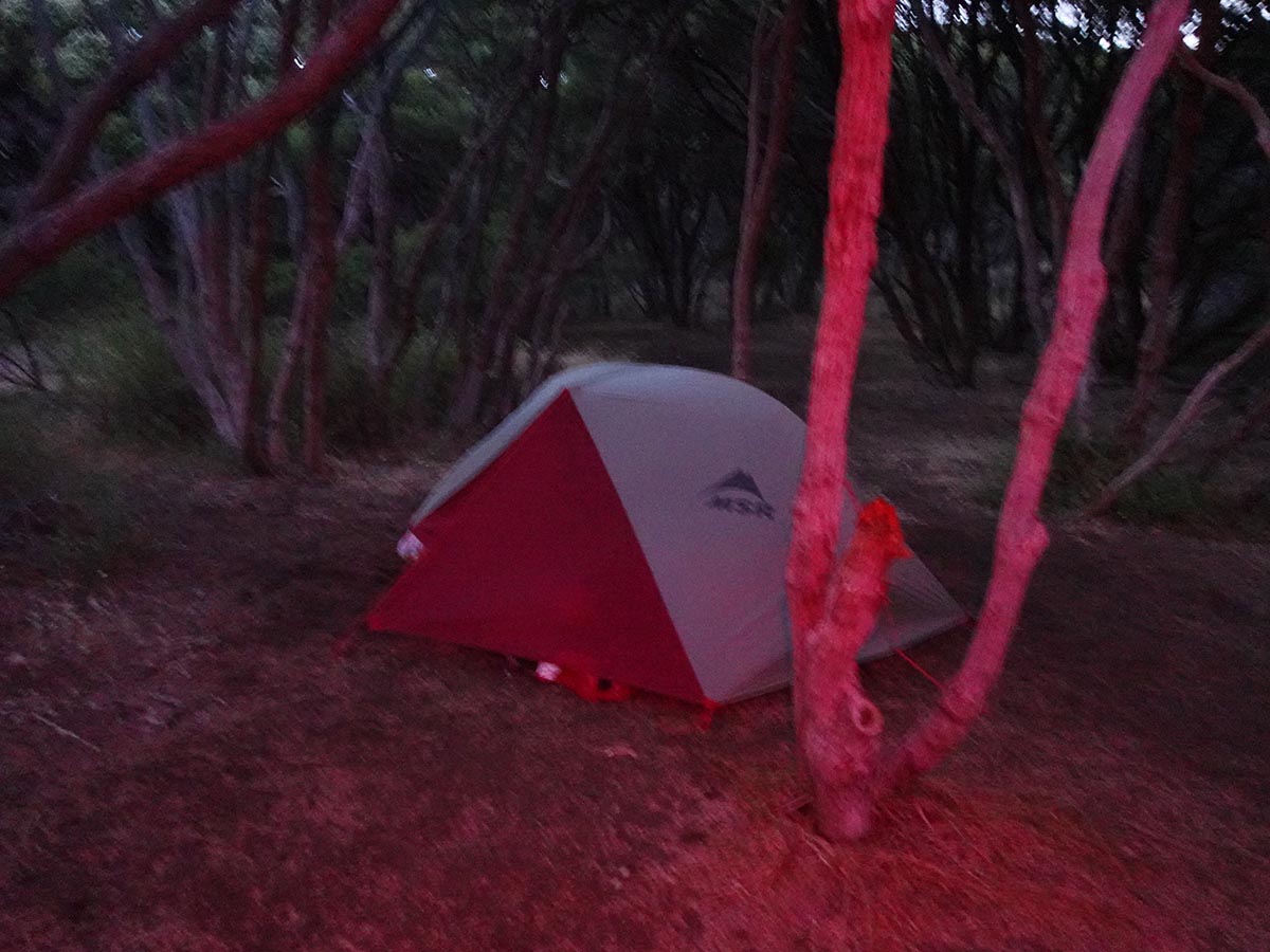
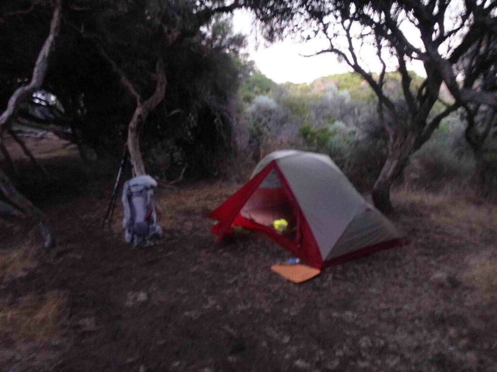
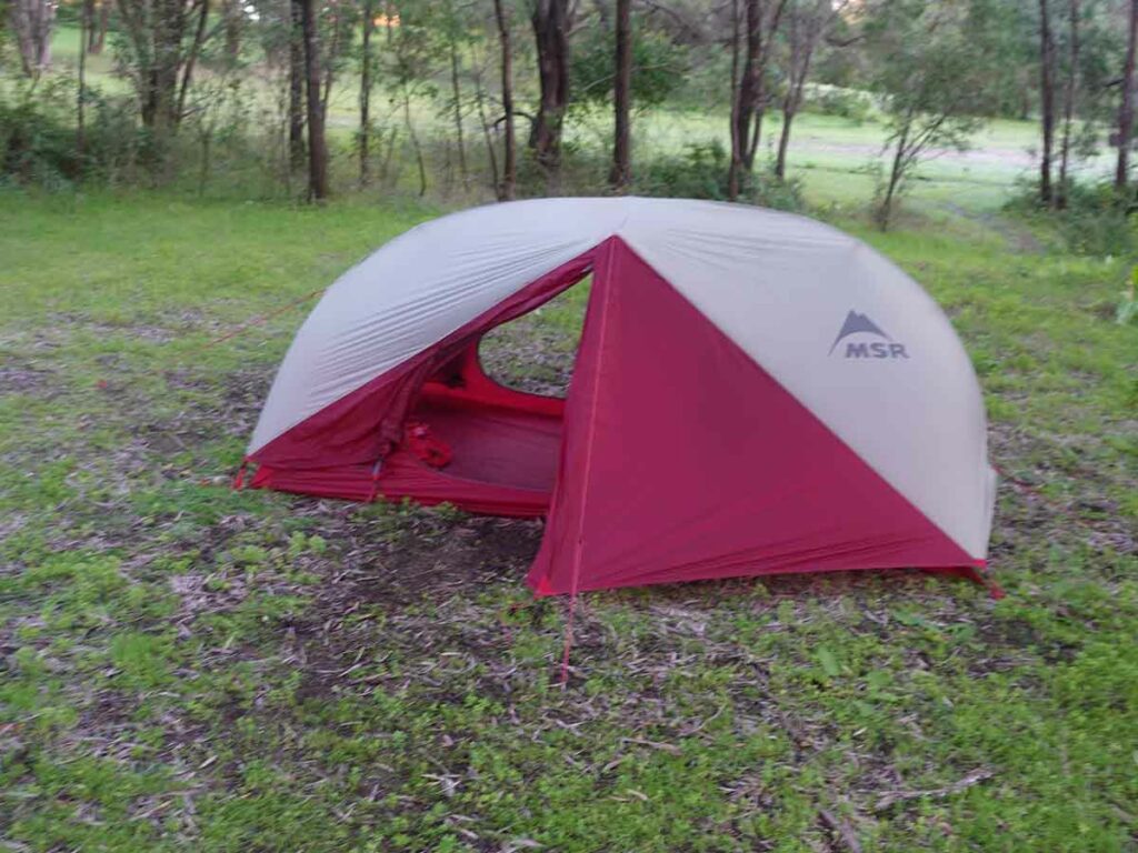
Our tent at the Mount Duckworth Campsite. I didn’t realise I had the red light on on my headlamp!
Day 2 Duckworth Campground to Moses Rocks Campsite Campground (22.8 km)
- Distance: 22.8 km
- Time Travelled: 8.5 hours
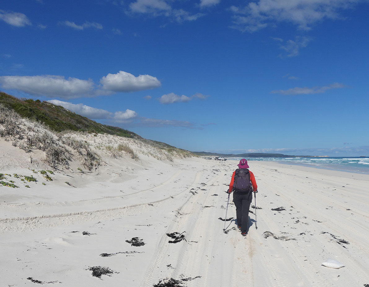
Day two; after packing up and eating breakfast we were back on trail by 7:30am taking advantage of the cooler weather. Much of the walking this day was on management road and as it was a Saturday we were had to pay attention to the weekend traffic as surfers made their way down the shared roads in their large 4WDs to catch their favourite waves. Every so often you will need to stand in the bush as the roads are a bit narrow at times. The sand on these roads was again really soft, made the walking harder than it should have been and slowed us down.
Not long after we started we hit the township of Yallingup (around 3 km further on from mount Duckworth). If you start this trip earlier in the day you would skip Mount Duckworth and spend the night at Yallingup Holiday Park instead.
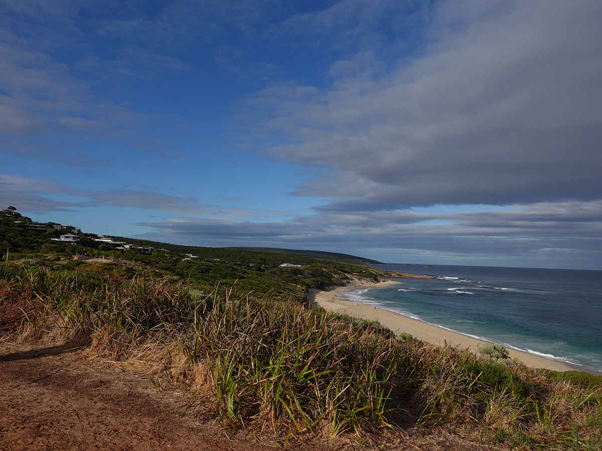
Much of the day was again spent hugging the coastline with the occasional small beach walk here and there and sections of forest walking. Nothing in the way of ground based wildlife today but plenty of birdlife along the way; we didn’t always see them, but we did hear them.
We hit our campsite for the night at Moses Rocks managing to beat the other groups in and staked our claim to one of the more secluded campsites at the back under the low trees. This campsite is a repeat of Mount Duckworth from the previous night but its much flatter. It also comes with a resident bandicoot that really doesn’t care too much about hikers and comes to inspect each site. It came in very close to see what it could find when I was cooking dinner at the benches located close to the toilet and water tank.
The low trees provide a secure area to camp and to minimise the impact of a lot of adverse weather. If you walk on a couple of hundred metres from the campsite there is a seated lookout over the ocean which if you are feeling enthusiastic, is a great spot for watching the sunset. We ended up having another six hikers spend the night at this site but with all the space we hardly noticed them.
Leaving Mount Duckworth Camp day 2
Keep an eye out for the birds as they steal food
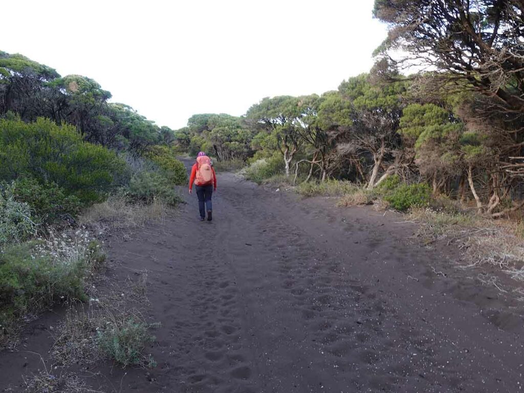
Soft sandy managment road Cape to Cape
Trail example day 2 Cape to Cape
Coast view day 2 Cape to Cape
Heading onto the beach day 2 Cape to Cape Track
Approaching Yallingup day 2 Cape to Cape
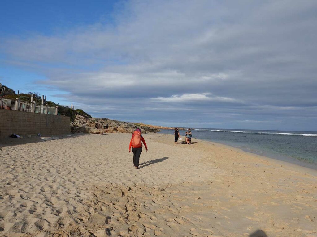
Finishing on the beach and coming into Yallingup
Caravan Park at Yallingup. If you start early the day before you can skip the Mount Duckworth campsite and stay here
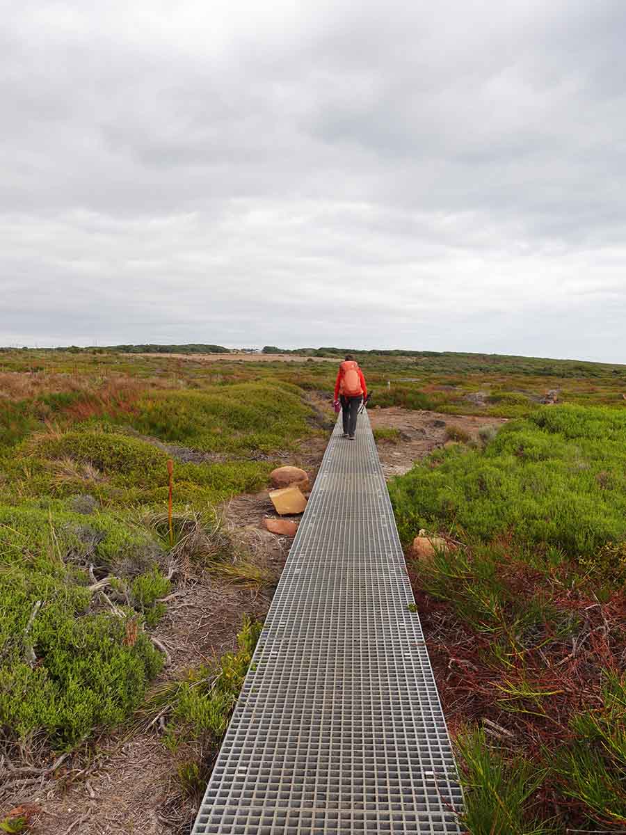
Boardwalk day 2 Cape to Cape
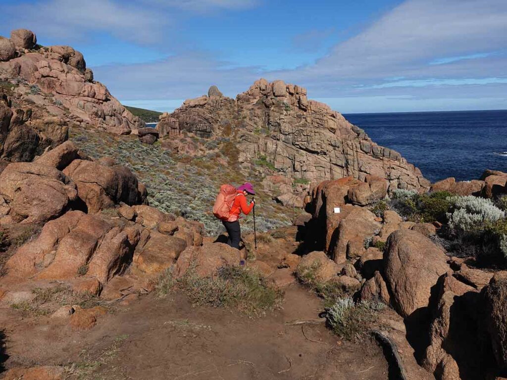
Trail example day 2 Cape to Cape. In the middle of the image just to the right of Gill you will see a small white square – that’s a trail sign
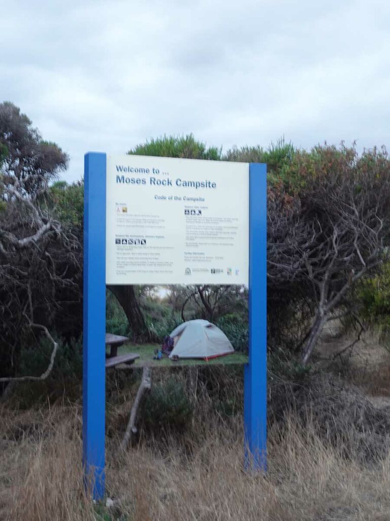
Moses Rocks campsite sign
Toilet and water tank at Moses Rocks campsite
Tent early in the night at Moses Rocks campsite
Day 3 Moses Rocks to Gracetown (11.1 km)
- Distance: 11.1 km
- Time Travelled: 3 hours
We headed off from Moses Rocks at around 8:00am with the intent of reaching Ellensbrook Campsite but this wasn’t to be. In fact due to an illness that had been brewing over the past few days, we opted for an early lunch at Gracie’s General Store (Gracetown) at around 11:00am and called it quits. For us this was a logical stopping point because we could change our return trip and head off from Gracetown as opposed to doing another day to reach the next stopping point. This was risky particularly if the illness had of progressed.
The walk into Gracetown was quite pleasant with much of the walk being along the coastline. When we hit the outskirts of Gracetown and the large recreational boat ramp, it became a bit confusing about where we were supposed to head. Even when using the FarOut app which identified the trail, we ended up following along the edge of the road (as did everyone else following behind us) because most hikers will drop in to Gracie’s General Store for a snack or lunch so is frequented by large numbers of hikers.
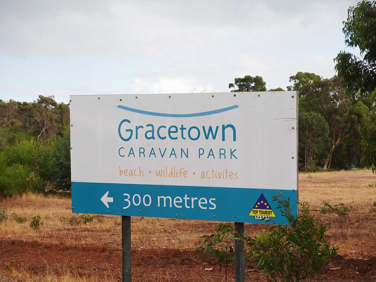
We ended up staying at the Gracetown Caravan Park for a couple of days, rescheduling our return to Perth and allowing the illness to run its course. When we called the caravan park to arrange accomodation, they offered to pick us up from Gracie’s General Store which was very welcome and saved us a 2 km. While it was disappointing to stop the hike, it was the right decision from both an enjoyment and safety perspective, and it allows us to plan the return trip in a few months time.
Leaving Duckworth Camp day 3
Soft sandy managment road Cape to Cape
Trail example day 3 Cape to Cape
Ocean view day 3 Cape to Cape
Cape to Cape day 3 beach walk
Rocky outcrop day 3 Cape to Cape
Trail example day 3
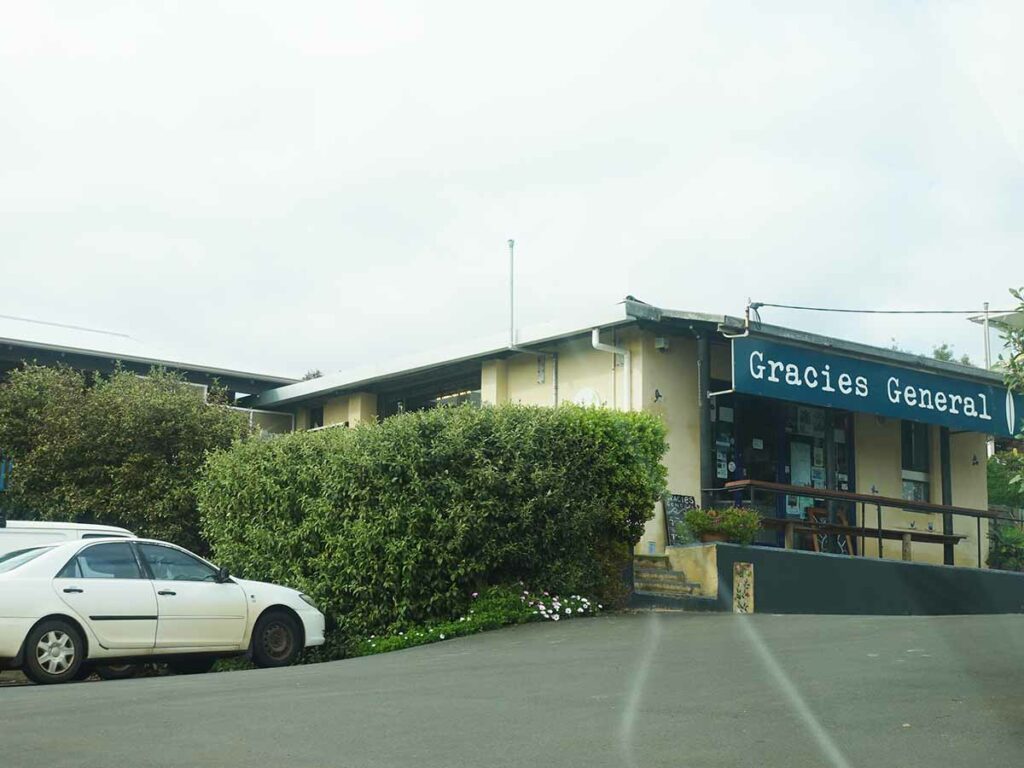
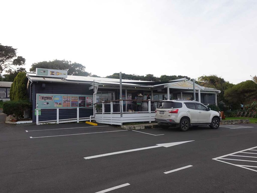
Gracie’s General Store, Gracetown
Heading to the Gracetown Caravan Park after an early stop the this walk
Day 4 Gracetown to Prevelly Holiday Park (20.9 km)
- Distance: 20.9 km
- Time Travelled: 6.5 hours
Back on trail after a couple of months break and given the limited time we had, we opted for a different transport option. On our last visit we used public transport to get down to the trail and back, but this tended to suck up the time.
On this occasion we decided on what can best be described as a ‘supported walk’ and in practice what this meant was that Gill dropped me off at the Gracetown General Store after lunch and then I started walking to our destination for the night; Prevelly Holiday Park. Gill then drove to Prevelly, dropped off the car, picked up our accomodation key and started walking back towards Gracetown with the intent of meeting me somewhere in the middle of the day’s walk.
This was to be the pattern over the next four days of walking. It provided a good opportunity for Gill to experience parts of the walk in either direction. While I decided walking south was definitely the way to go, she had rare opportunity to walk parts of the trail both ways and got to experience firsthand the different options. Gill’s conclusion was that walking south was also the way to go.
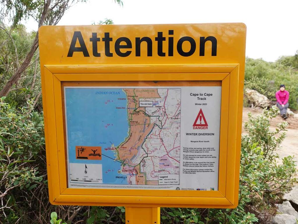
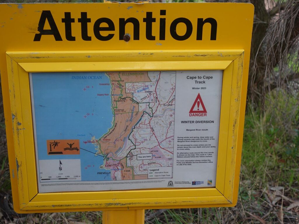
Today was also decision day because this was the day we would potentially cross the Margret River mouth. On our previous visit, the river mouth was closed (i.e. there was a sand bank between the ocean and river) and we would have taken that option. This time the river mouth had been open (i.e. the river was flowing into the ocean) for about two weeks and the conditions weren’t looking good. As such, I opted to take the inland detour which added around 4 km to the day’s total, and because we opted for this inland route, we minimised the beach walking for the day.
This was a long day; I didn’t start walking until just before lunchtime and we ended up finishing the day just on dark but we did have the opportunity to see a lovely sunset just as we are coming into Prevelly. When I met up with Gill it was at her end of the detour point and she informed me that someone at Prevelly had said take the detour so our our choice was a good one. The detour included a bridge over the Margaret River and the water was pumping from the rain over the previous week so this also confirmed our choice. On the trail we heard about an option to arrange a kayak crossing with one of the tour guide companies so if you feel that’s an option then contact them.
Again the wildlife was very limited but we saw Kangaroos along with the usual plentiful birdlife. As we commenced this second leg of the trip, the wildflowers were just starting to bud and a few to flower – while nowhere like what it would be in another month, there was still plenty to see.
For me this was the best day of the trip so far, it just felt more inviting, with the difference being we were walking through more forested areas than what there had been of the previous 2.5 days. It was also cooler being around 12-15 degrees Celcius which is my preferred temperature range so I didn’t feel like the heat was drawing all my energy.
We opted for cabin accomodation at Prevelly but could have easily pitched our tent but we decided we wanted a warm shower in our ensuite cabin at the end of the day. You choose; hike your own hike!
Restarting the walk where we left off at Gracie’s General Store, Gracetown
Heading out of the suburbs back onto the trail at Gracetown
Ocean view near Gracetown
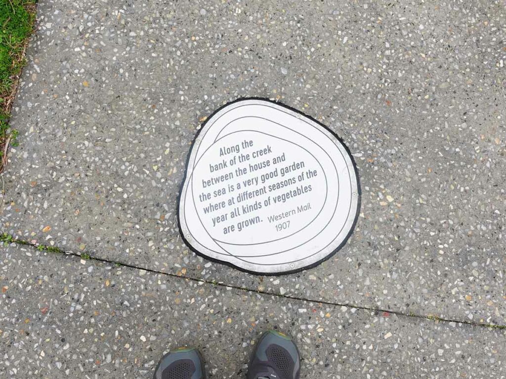
Interpretive sign in the path at Ellensbrook historic area
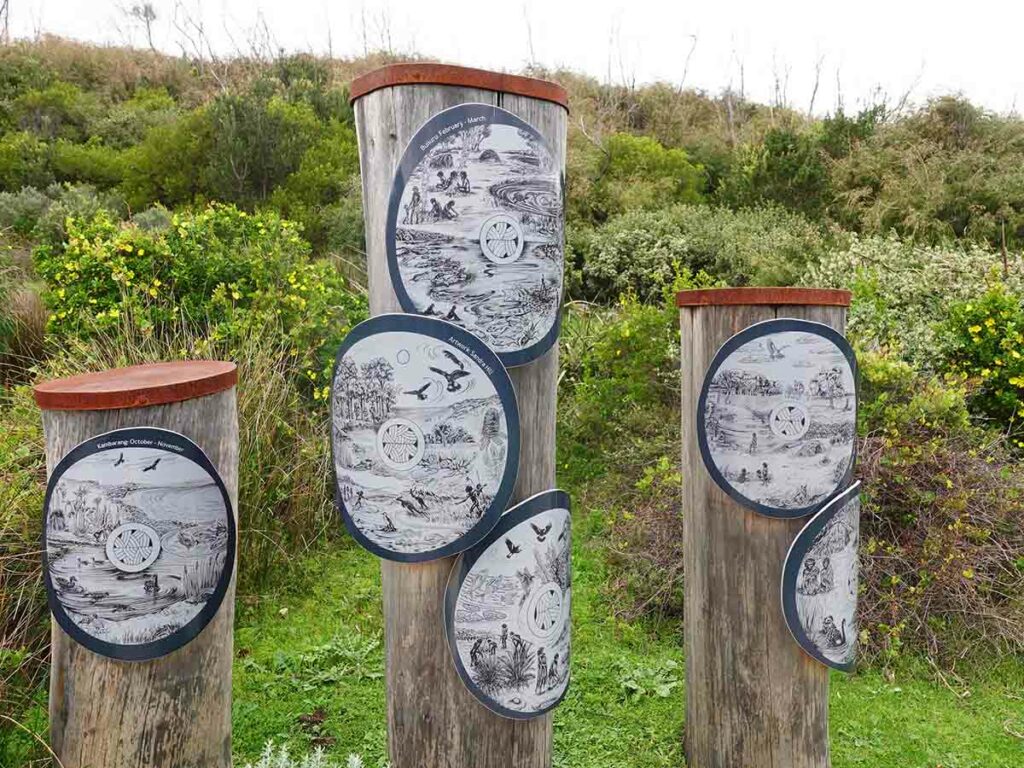
Interpretive artwork sign at Ellensbrook historic area
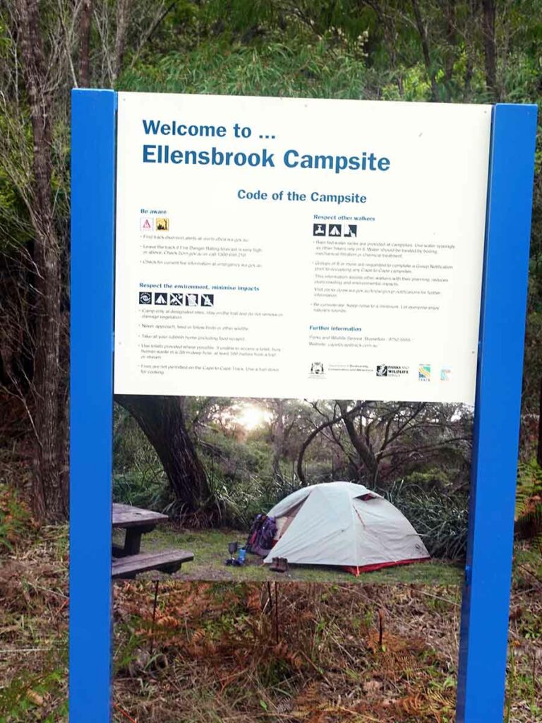
Ellensbrook campground sign
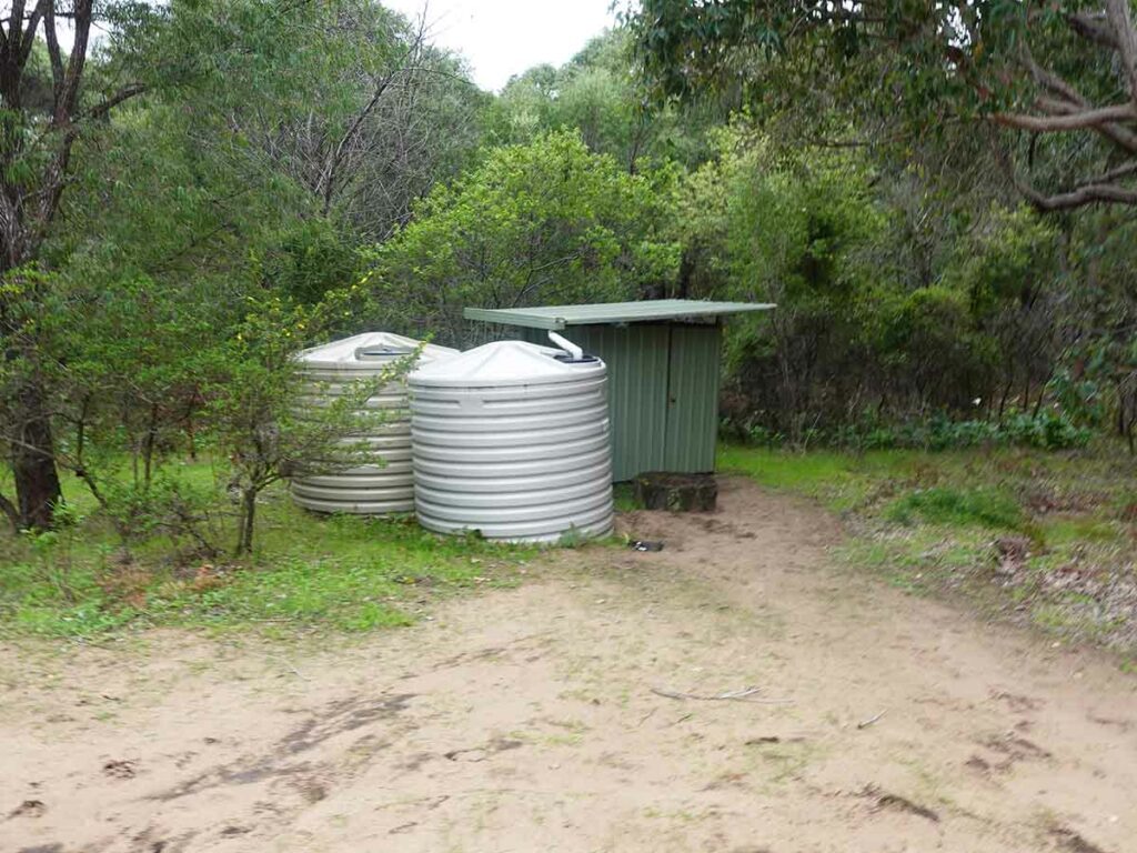
Ellensbrook campground toilet and water tank
This is the detour point where Gill waited for me
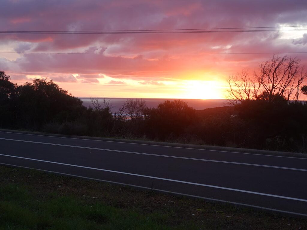
Sunset coming into Prevelly
Prevelly Holiday Park
Day 5 Prevelly to Conto Campground (17.6 km)
- Distance: 17.6 km
- Time Travelled: 8 hours
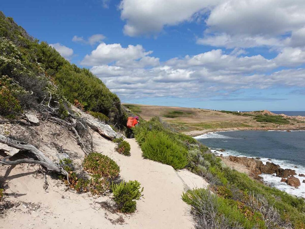
I left Prevelly at around 7:30am and started the first ascent for the day back up the hill before crossing the road and then connecting with the main trail (Prevelly is off-trail). Another great day of weather; sunny but without being hot. I headed into the bushland continuing the climb away from Prevelly and continuing the uphill climb albeit at a smaller incline.
I spent much of the morning walking through bushland but also had sections of beach walks as well. Again I really loved this day and by the end of the trip it was this day and the previous day that were my favourites over the trip.
Around lunchtime I hit Redgate Beach which is one of the main surfing beaches in the area which comes with lots of warnings bout dangerous rips. This was I met Gill who was waiting on the other side of a hollow inlet deciding that she wasn’t willing to get her feet wet.
We headed 8 km along the trail to Conto Campground which is a very large campground designed to cater for campers of all kind. We chose a campsite that was designed for car campers and was about 50 metres away from the trail, close to the toilet and close to the water supply. In fact we were the only ones in this section of the campground so ended up with a quiet night.
The tree coverage was enough to provide shelter from the wind and sun without feeling cold so it was great option. Again keep an eye out for scavenging birds as we had only walked away from our tent about 10 metres to get water and they swooped in to see what was on offer.
We set up our tent and cooked dinner all while it was still light and once the sun went down it was time for bed and probably the longest night sleep of this trip.
Trail diversion sign back on trail again day 5
Trail example 2 day 5
Trail day 5
Morning tea day 5
Off the path day 5
Follow the path day 5
Ocean view day 5
Ocean view day 5
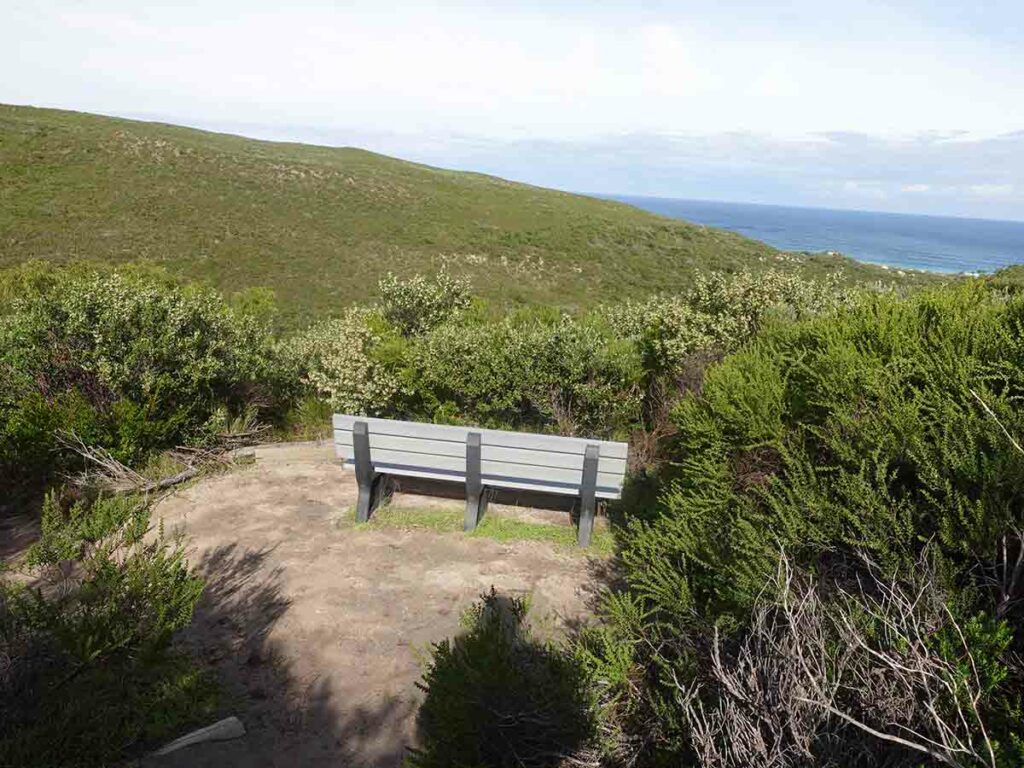
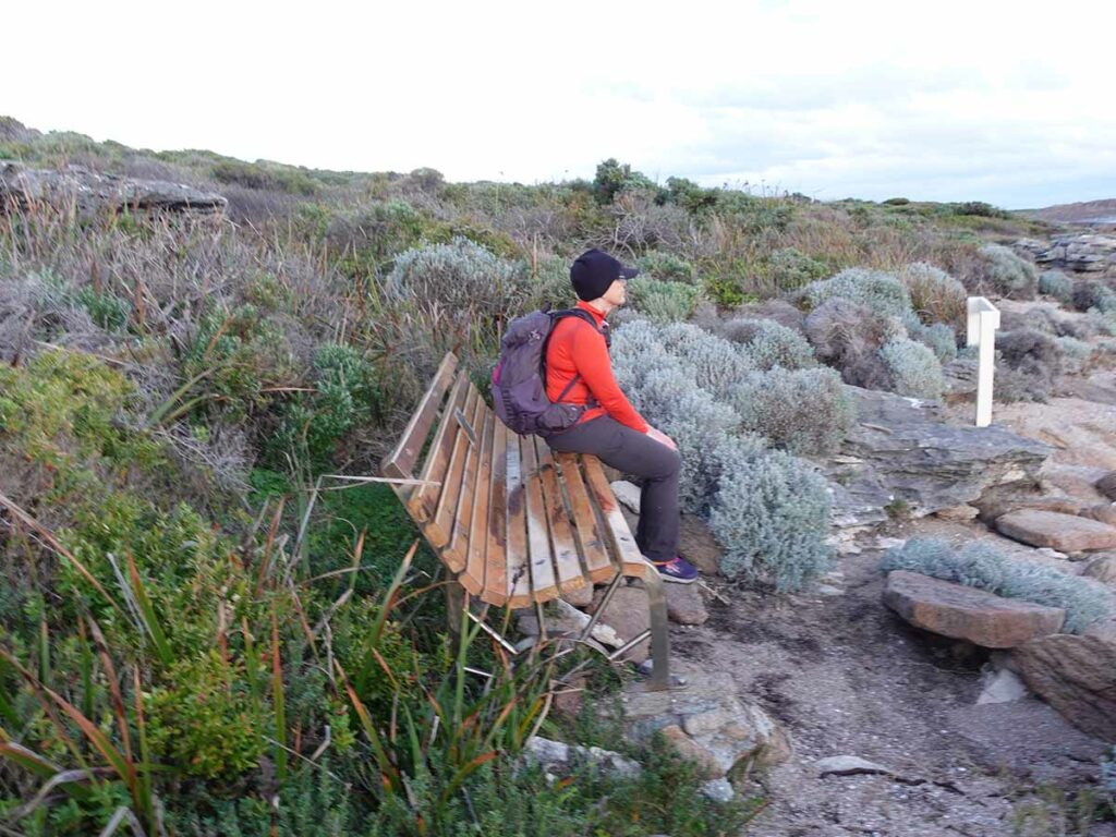
Nice seat but when you sit down all you see is the brush in front of you!
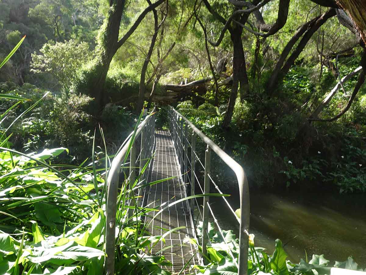
Bridge day 5
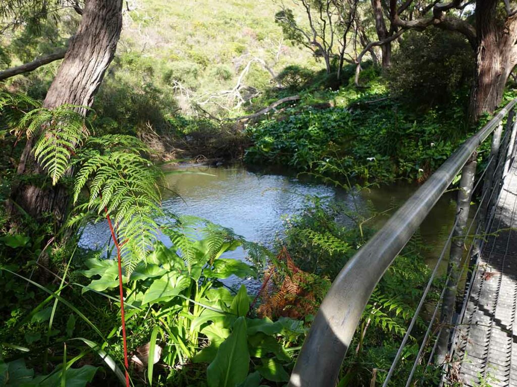
Crossing a small river day 5
Our campsite at Conto. The area we chose has parking for your car
Tent at Conto Campground
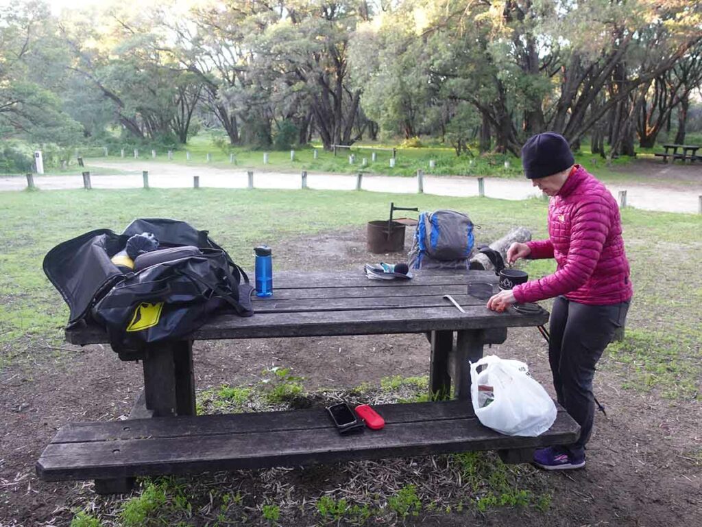
Gill preparing dinner
Day 6 Conto Campground to Hamelin Bay Holiday Park (21 km)
- Distance: 21 km
- Time Travelled: 10 hours
A big day both distance wise and time. While there as a good mix of forest walking, it was interspersed with the biggest sections of beach walking so far with one section being 6.6km on what was essentially soft sand that really slowed the day down.
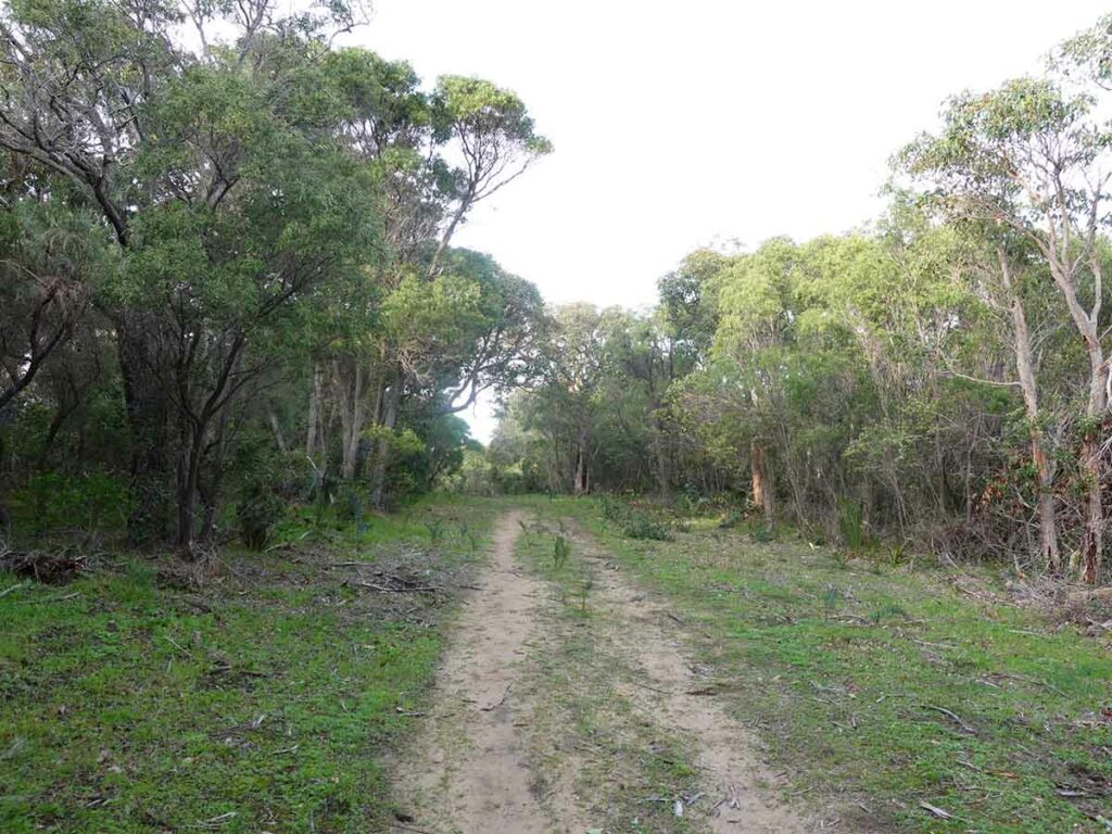
Gill had walked me over the day before to look at the start of the trail for today which was essentially a downhill slope and what looked like an uphill on the other side through burnt out forest. When starting the day and once I was into the tress, it wasn’t too bad with a lot of regrowth occurring that made for a pleasant walk. I reached the bottom of the valley and it wasn’t as I thought uphill then over the other side but instead I turned left and came across the Point Road Campsite which is a hiker accessible camp. This site was impacted by fires and at the time of this review (August 2023) and was closed as they were doing rebuilding work. Once this camp opens again it will provide a bit more privacy particularly in the busier parts of the year. Given its only another 1.2 km on it would be worth considering.
From here it was weaving through forest, over undulating landscape, before stopping for my obligatory morning tea about 100 minutes into the walk.
Today I came across a couple of groups of hikers, one doing a day walk and another couple doing the whole track and heading northwards. I’d imagine that this track would be really busy in spring with everyone trying to catch the main flowing season.
I ended up catching up with Gill at the start of the beach who left camp late to allow the tent to dry off and to do some work. Today saw what was to be at this stage the longer beach walk of the trip at 6.5 km (to be superseded by tomorrow). Gill thought she would see me soon and got to the top of a very steep sand dune and saw me approaching so we stopped just off the beach for a lunch break.
We then headed back down the beach towards Hamelin Bay. For me this was the hardest part of the whole walk as the sand was very soft and the beach was also very busy with surfers and fishermen who were driving up and down the beach in their 4WDs. Its not often that you get a vehicle hazard as an issue on a hike. The beach was exposed and it was a warm day so was very draining; Gill got to walk it twice in a different direction.
The bonus of the 4WDs was that they compacted the sand so walking in the wheel tracks made it a bit easier (I didn’t say easy). It was slow going hence the 10 hour travel time average just over 2 km per hour.
Once we hit the Hamelin Bay Resort we dropped in to get some snacks from the office and it was back to the cabin for dinner. One thing of note is that when we did this walk there was a ‘low season offer’ of pay for two nights and get the third night for free. Having the car meant we would be here for threw nights and not have to worry about packing and unpacking until we finally left. The only downside was that there is almost no internet signal at this location but if you don’t care about that then its a lovely site with good accomodation.
Starting day 6
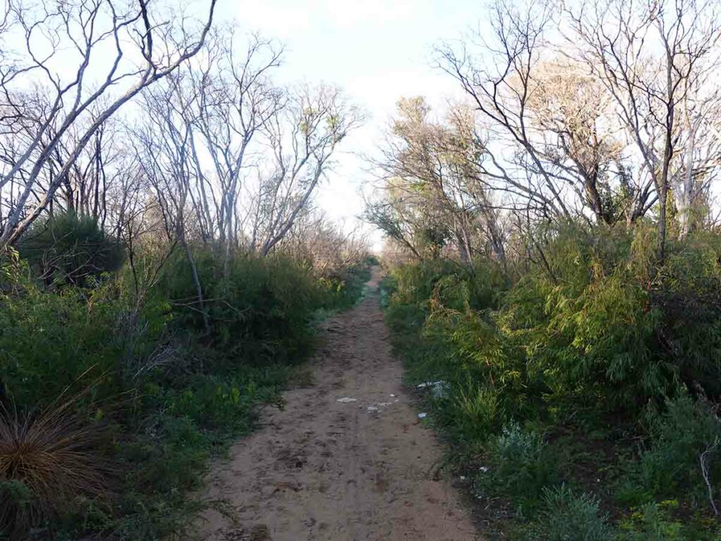
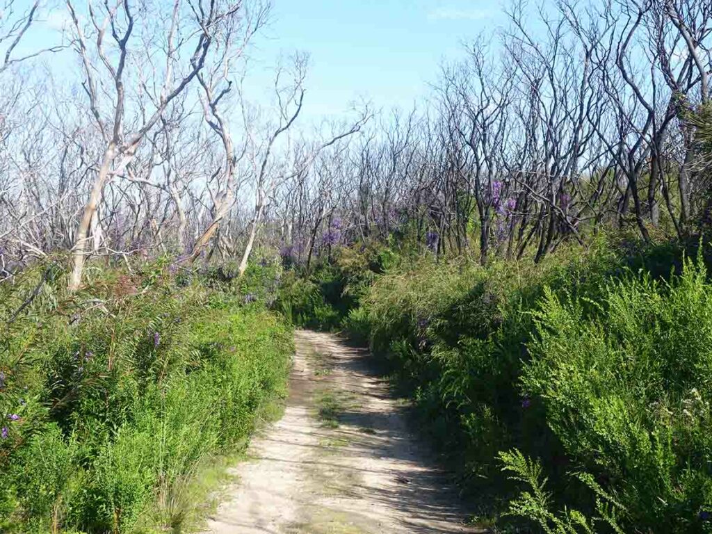
Trail example 2 on day 6. While the trees have been burnt, the undergrowth is coming back
Point Road campground located less than 2 km from Conto Campground was closed in August 2023 due to the fires and was being worked on
Turning right out of the forest and about to head into the open in around 500 metres
Trail example day 6
Going on the the main beach day 6
Beach walking
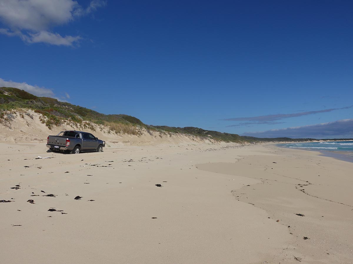
Beach traffic walking to Hamelin Bay
Coming off the beach into Hamelin Bay after a 6.5 km beach walk
Hamelin Bay cabins
Day 7 Hamelin Bay Holiday Park to Cape Leeuwin Lighthouse (24.98 km)
- Distance: 24.98 km
- Time Travelled: 10.75 hours
The biggest and hardest day of the entire trip included lots of beach walking. I misjudged the time I expected to take on this walk and due to the beach and the rock platforms it was very slow going. I could have opted to stay at Deepdene Campground but it was closed the last time we came through and decided to just have a long day. For most other trips this would have been a hard eight hour day but you definitely earn your keep on this one.
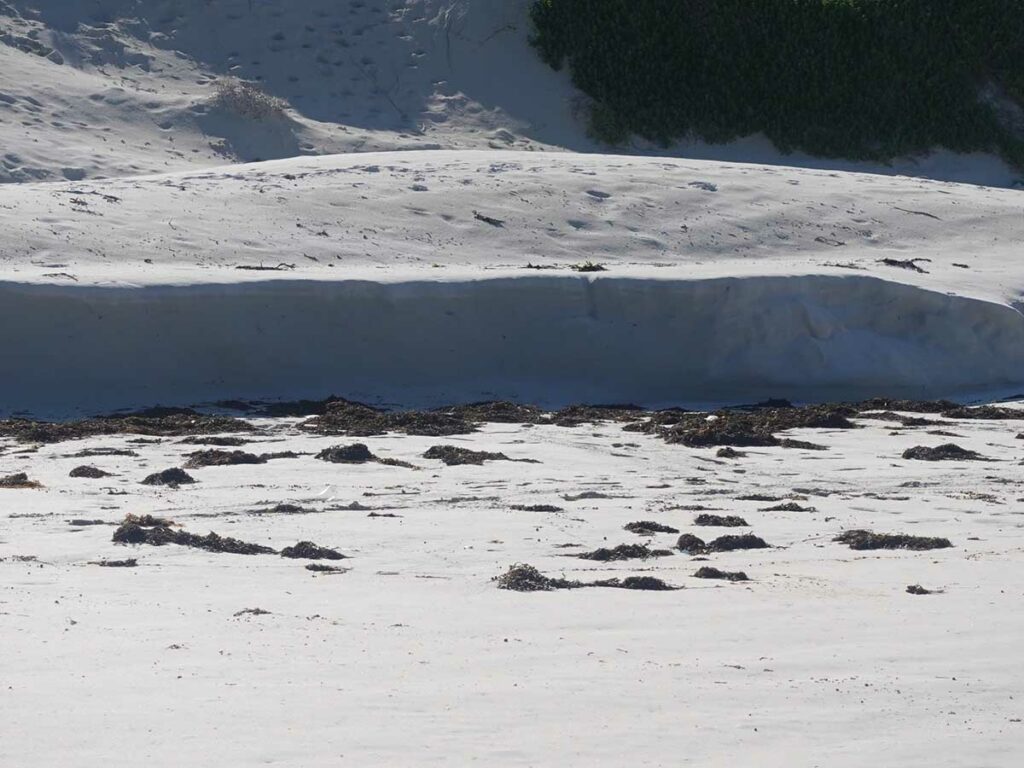
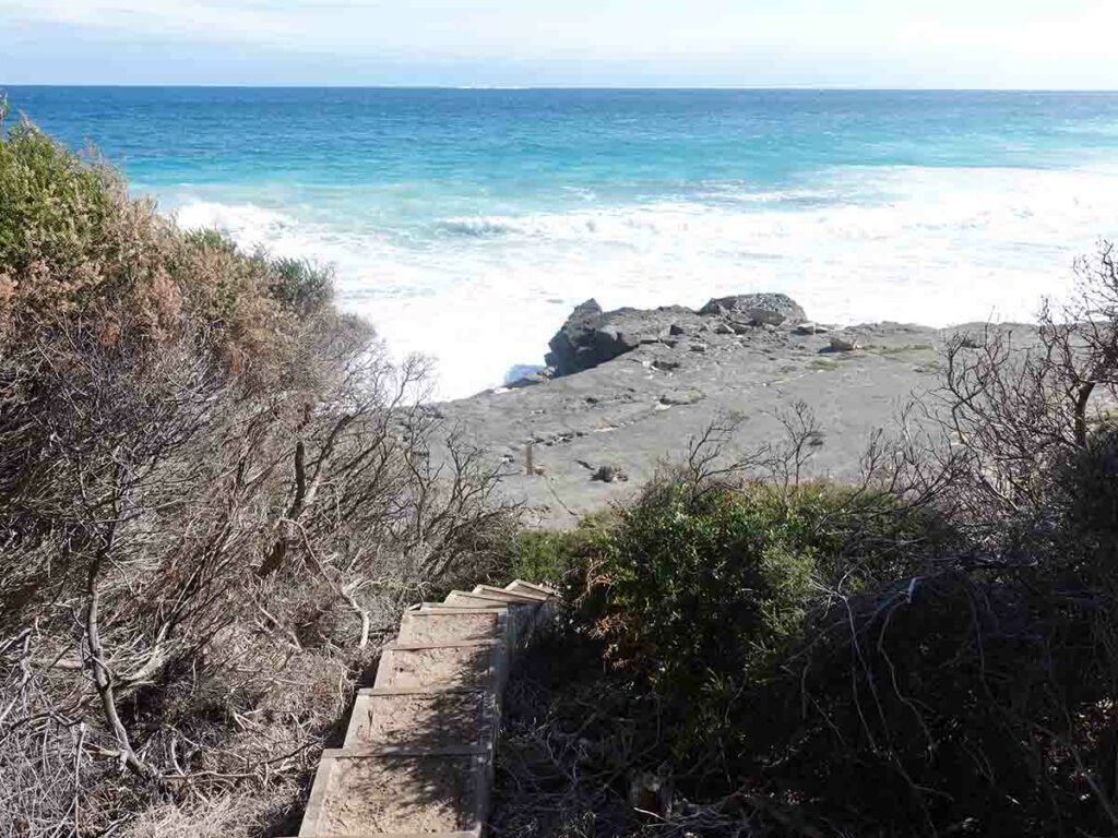
The day started with a very short beach walk which pressed home to me that if you do this walk when there are big storms with the winds driving onto the beach, then a number of beach sections would be uncrossable. On this first beach the weather was calm and the seas reasonably flat and the water was going within about five metres of the dunes and it wasn’t even high tide. Sections of the beach further on showed signs of the dunes being cut away by water action.
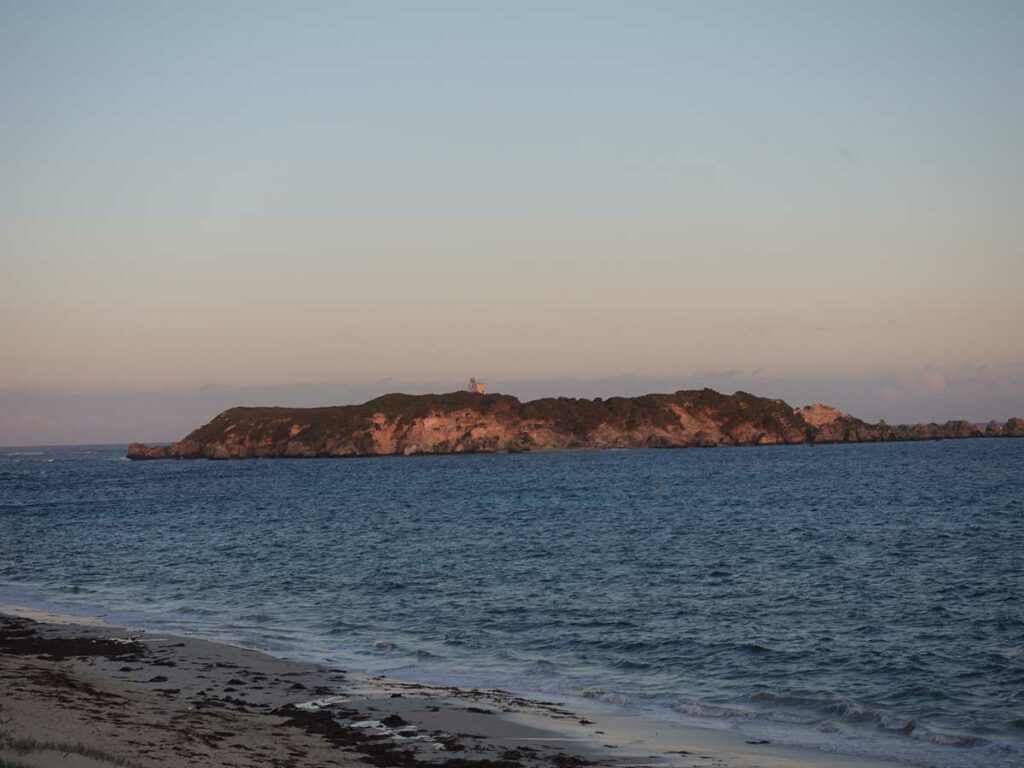
Along the large section of beach, the Cape Leeuwin Lighthouse appeared in the distance as I rounded a section of beach and was with me for much of the afternoon getting closer and closer as I walked. It only disappeared towards the end of the day as I walked back into bushland.
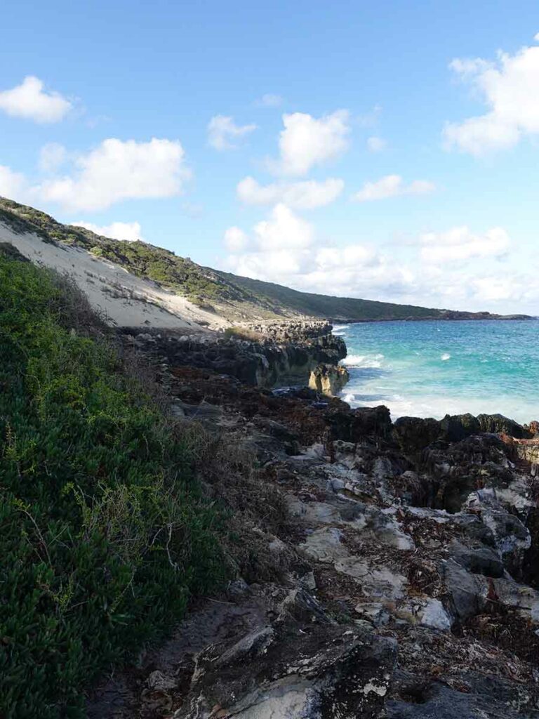
Today was also the day for the two largest hills and while they aren’t serious when compared to east coast hills and mountains, it all combined to make it very slow going. For much of the day I was travelling at around 2 km per hour. In addition the rock platforms also made it slow going.
There was one section that warned of ‘blowholes’ and when you crossed over the rocks you would occasionally get a small gust of wind/water coming through the holes which would be dangerous in big seas. There are enough management roads that connect along this coast that would potentially allow you to bypass this section but again if there are big storms you may just have to pull the pin, at least for a day until the conditions die down. This day was sunny with a light breeze so it was pleasant walking given the forecast rain had been pushed off until the next day – so, all up a dry trip.
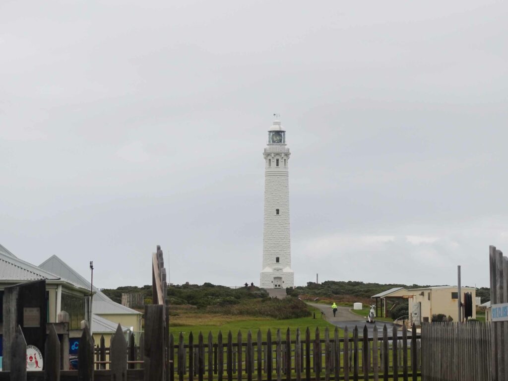
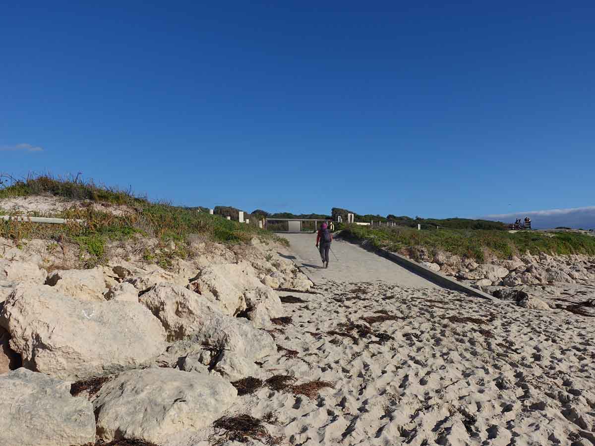
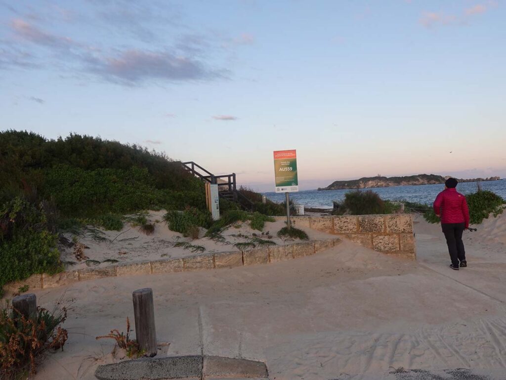
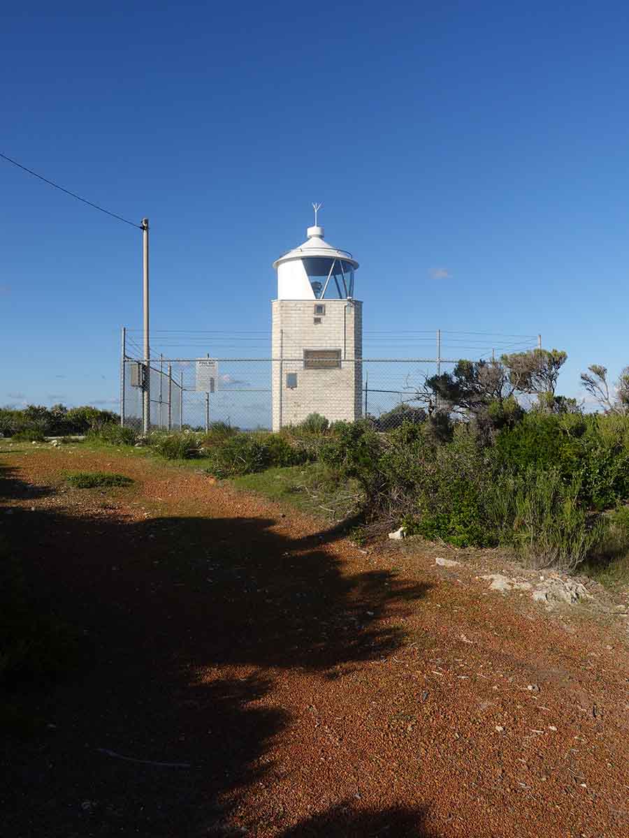
I met up with Gill at around 2:00pm, about two hours later than expected. This was largely because she decided to stay where she was and keep an eye out for me as the trail along the rock platform wasn’t as obvious coming from her direction as it should be. We eventually made it to Cape Leeuwin Lighthouse but it was just on dark so while we did get a photo of us at the trailhead, it was a bit grainy so we opted to come back the next morning to take photos of the lighthouse and the surrounding area.
We headed back through Augusta and picked dinner but as far as the Margaret River goes, Augusta isn’t really a tourist town – everything shut early and there were limited meal options but the local fish and chip shop was still open which is what we opted for. We then headed back to Hamelin Bay for a good nights sleep.
The day after we finished we did go back to the lighthouse to take some photos during the daytime and the forecast bad weather had arrived. The sea conditions were really bad and this would have prevented access to a number of the beach areas we had crossed the day before given the big seas were pushing into the coast.
Start of walk day 7
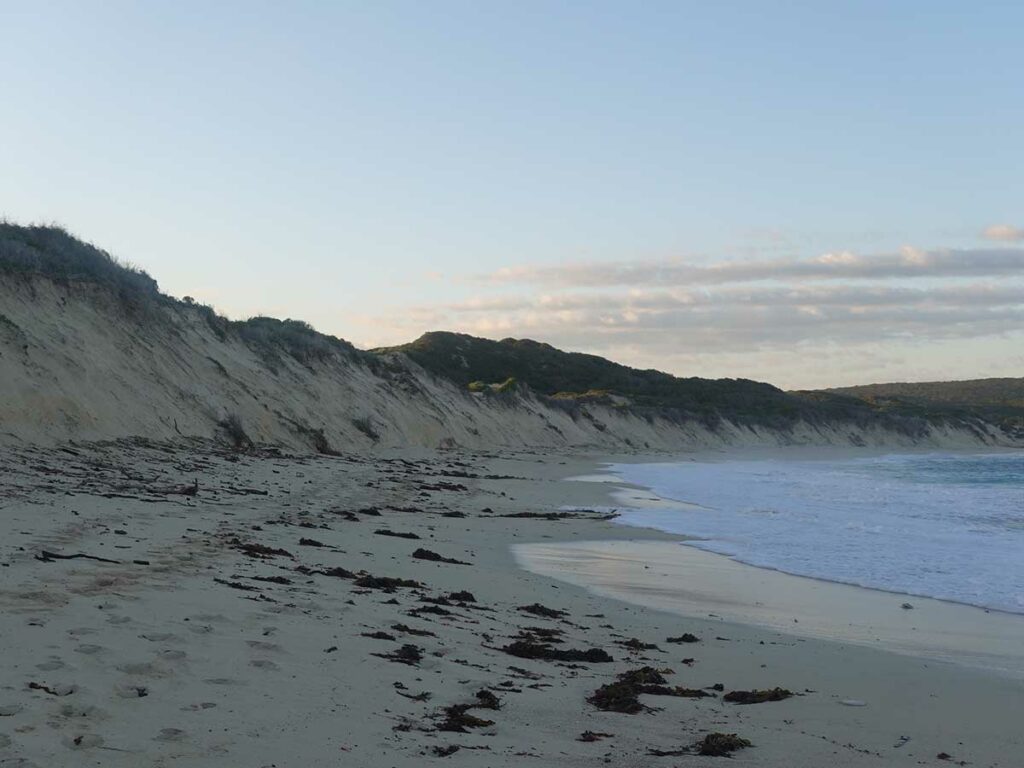
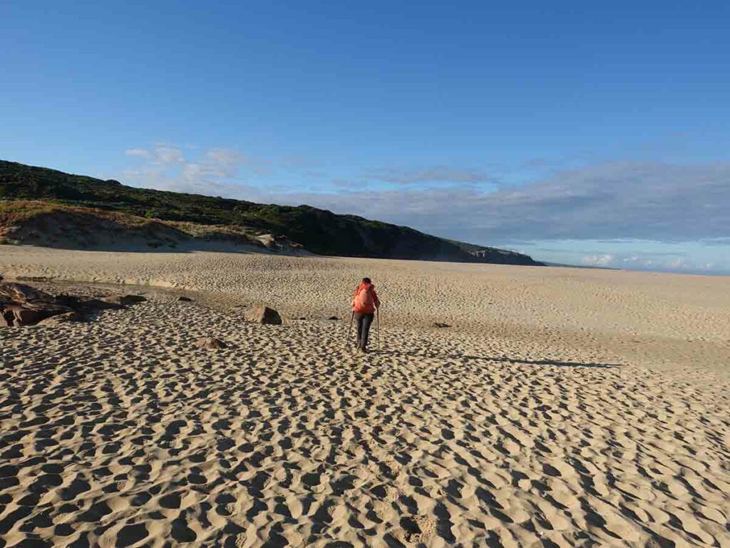
First beach walk day 7. The tide is going out and the sea was relatively calm but look how high the water is coming up the beach!
Impact of waves on the beach
Old lighthouse in Hamelin Bay
Cape Foul lighthouse
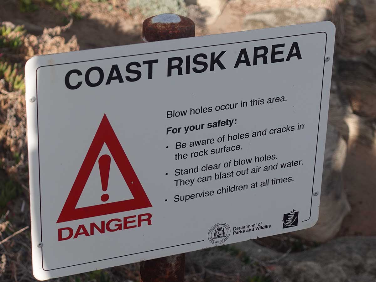
Blowhole warning sign
Blowholes
Trail example day 7
Coming onto a rock platform
Gill taking a break
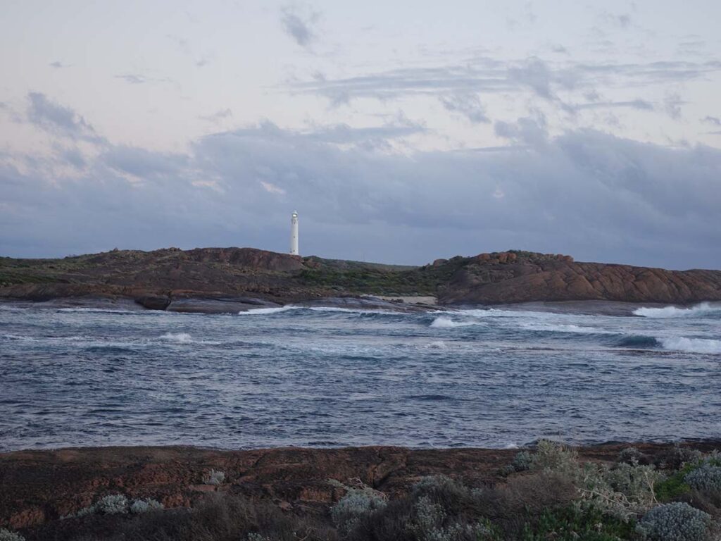
Cape Leeuwin Lighthouse in the distance
Cape Leeuwin Lighthouse
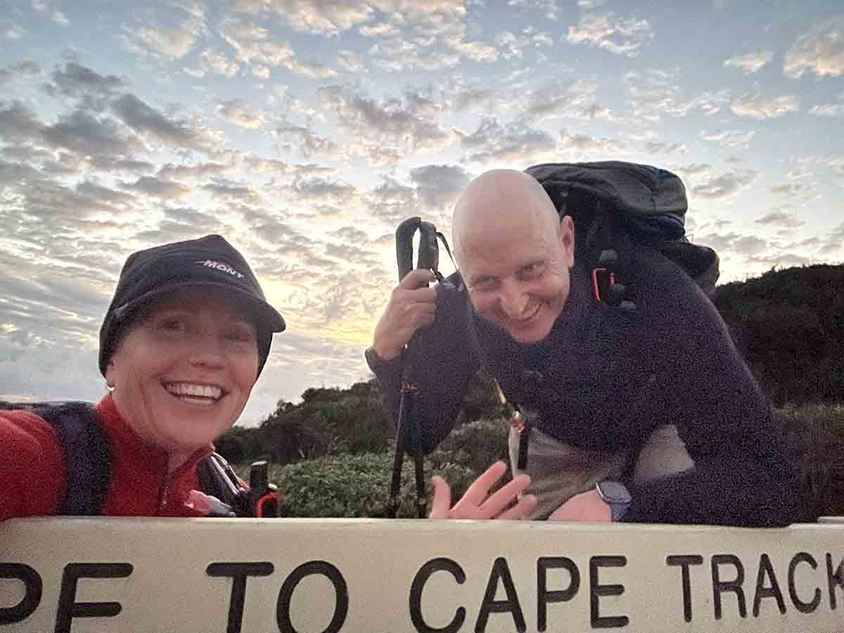
Gill and Tim looking happy at the Cape Leeuwin Trailhead
Flora, fauna and the broader environment
- Not a huge wildlife trip but given this was when we were just coming out of winter so this wasn’t a surprise
- Lots of birds
- One Dugite (snake)
- Multiple lizards
- Kangaroos
- 2 Bandicoots
- Wallabies
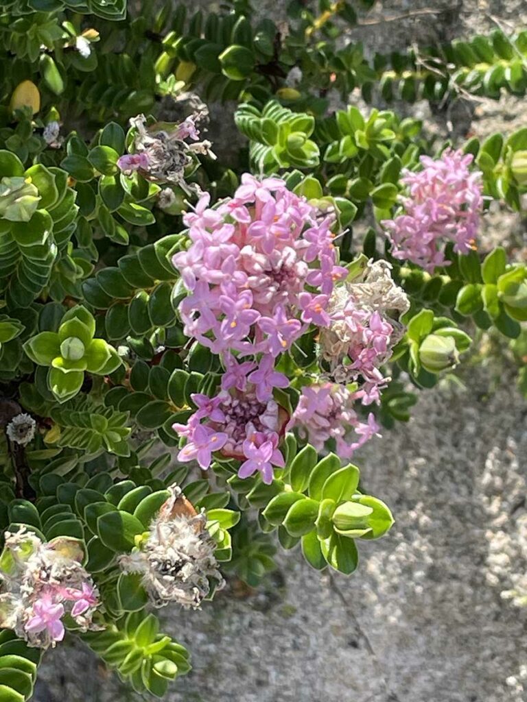
- The spring flowering was only just starting so would be better in September-October
- Coastal heathland, beach and rock platforms with some inland forest sections
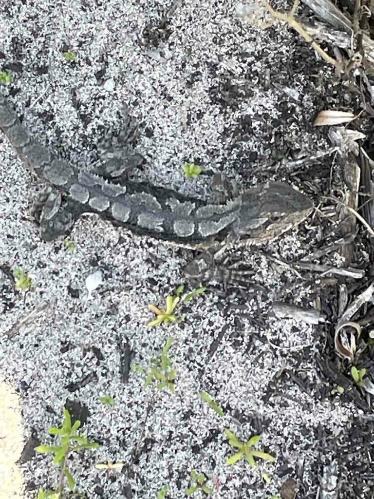
Lizard on trail. It was not moving assuming I could see it!
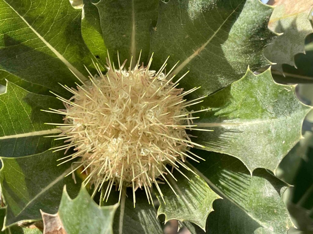
Banksia sessilis (Parrotbush)
Unknown species

Eucalyptus
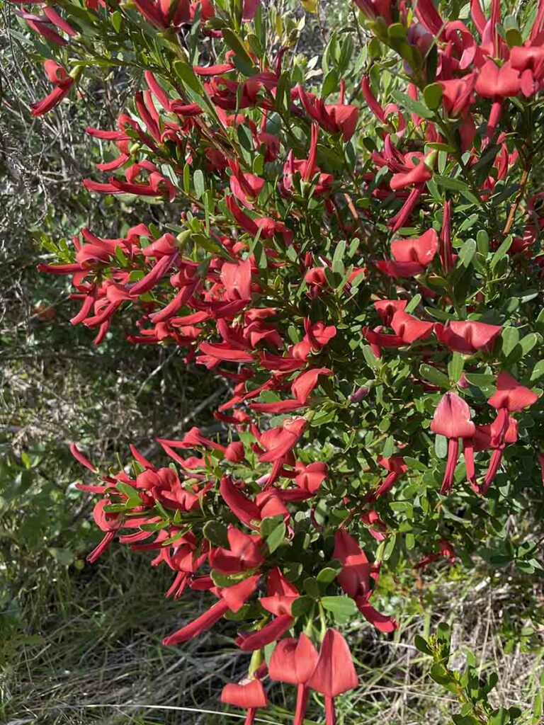
Pea species
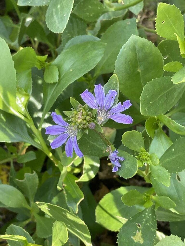
Scaevola
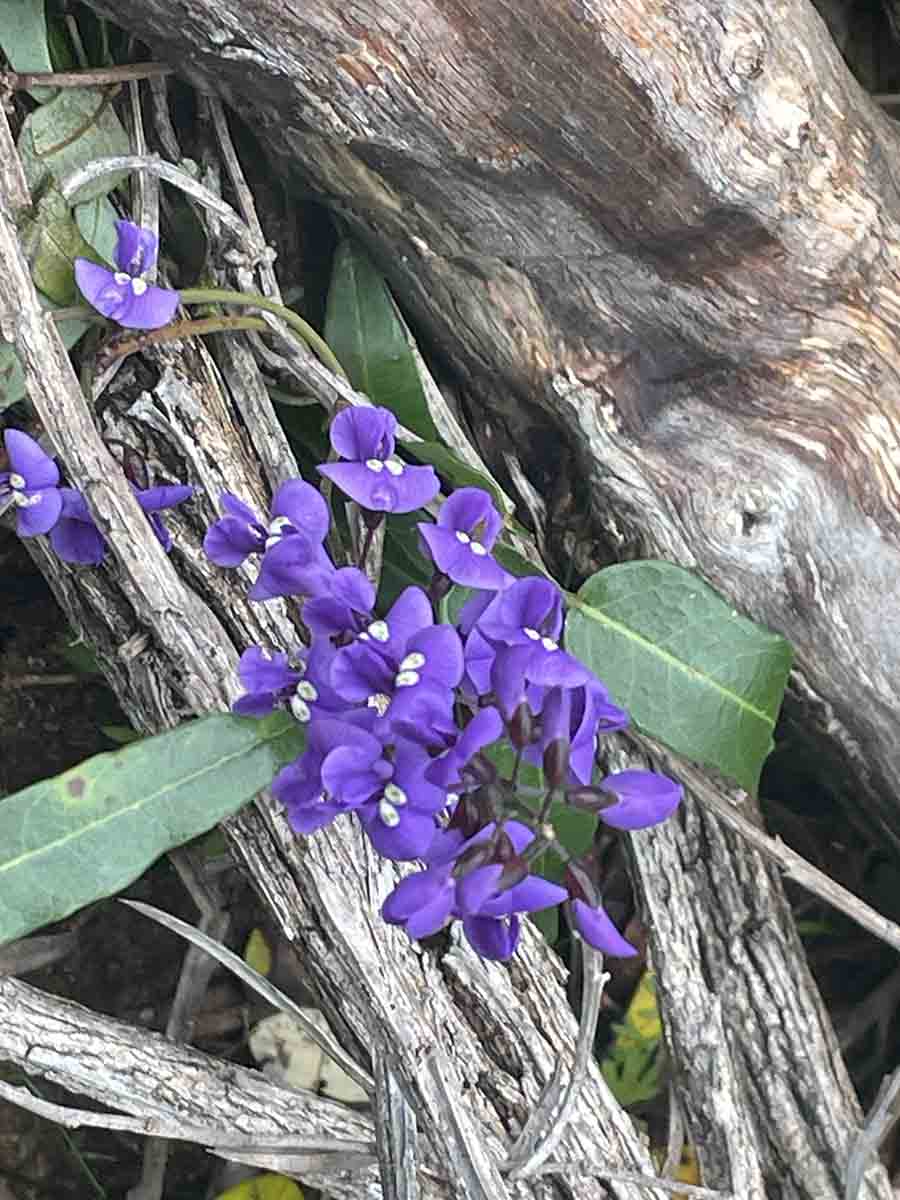
Hardenbergia
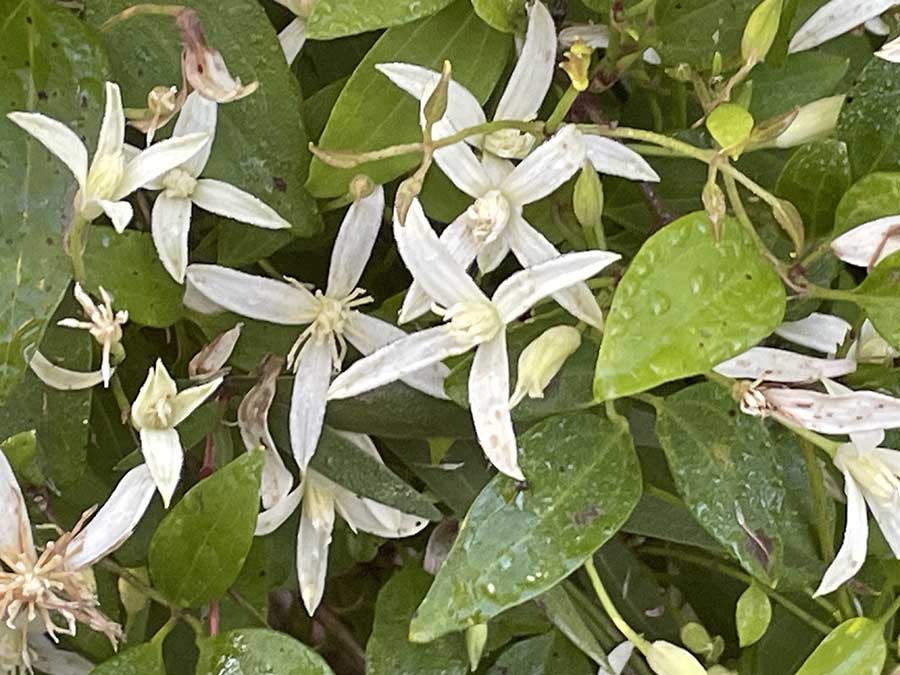
Native clematis
Unknown species #3
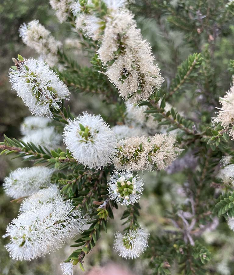
Melaleuca
Final thoughts
This walk is all about the Western Australian coastline and is easily accessible to all able bodied hikers. You can either do this in one go or do it in smaller sections depending on what suits. If doing it as a thru-hike allow somewhere between 6-8 days but be aware that the sandy soils and soft sand beaches make it hard to get a good pace up so you are likely to go slower than you think you will. We did this walk in seven days and had some days with bigger distances along with some smaller days around 10-12 km.
We would strongly recommend that you do this walk in a southerly direction and while some people push this direction because there is less chance of the sun hitting you in the eyes, its more about this is how the trail is designed with the signage being set up to do it in a southerly direction. You only have to look at the Cape Leeuwin Trailhead to note that this is more of an after thought rather the bigger more informative and more imposing trailhead at Cape Naturaliste.
You can really do this walk at any time of the year but I’d suggest doing it in the cooler months because you spend a lot of time exposed to the elements. Timing wise I’d look at July-September which will give you the cooler weather and wildflowers in the later part of that window. Really the choice is yours so do what suits.
I’m a big fan of having a variety of environments during a walk and while this does have different landscapes, it would be good to have this broken up on the big beach sections of this walk. Overall this walk is well worth doing and is a great option for those who like their coastal walks and prefer them without the mud that can be an issue on walks such as the Great Ocean Walk in Victoria which is a similar distance.
Trail video
This short video contains photos and videos to show you the walk from start to finish
In Style
There are a number of companies that provide guided options on this walk and also include options where you don’t camp. Find out more here
Getting There
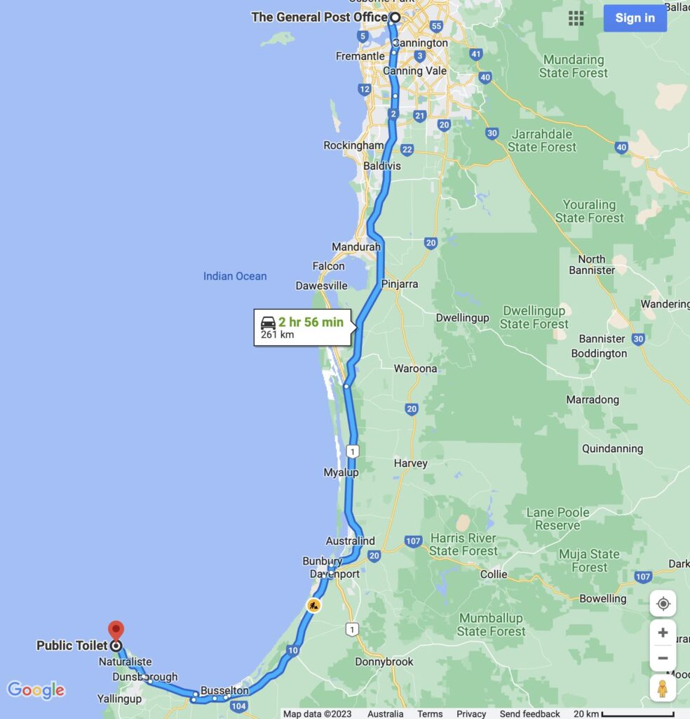
If starting at Cape Naturaliste or Cape Leeuwin the easiest options are to get a lift or use public transport to get to Dunsborough or Augusta and then taxi out to the trailhead. Cape Leeuwin is about 260 km south of Perth and about a three hour drive.
Things to Know
- Phone: The phone signal on this trail is variable only really available close to the towns or on the high points (Telstra) so it would be even less reliable with other carriers
- Water: Water is available at each of the campsites
- You should filter the water
- Don’t count on water availability during the summer months
- Toilets: Toilets are at the campsites and regularly at the tourist car parks along the way. You should bring a trowel and toilet paper for in-between just in case
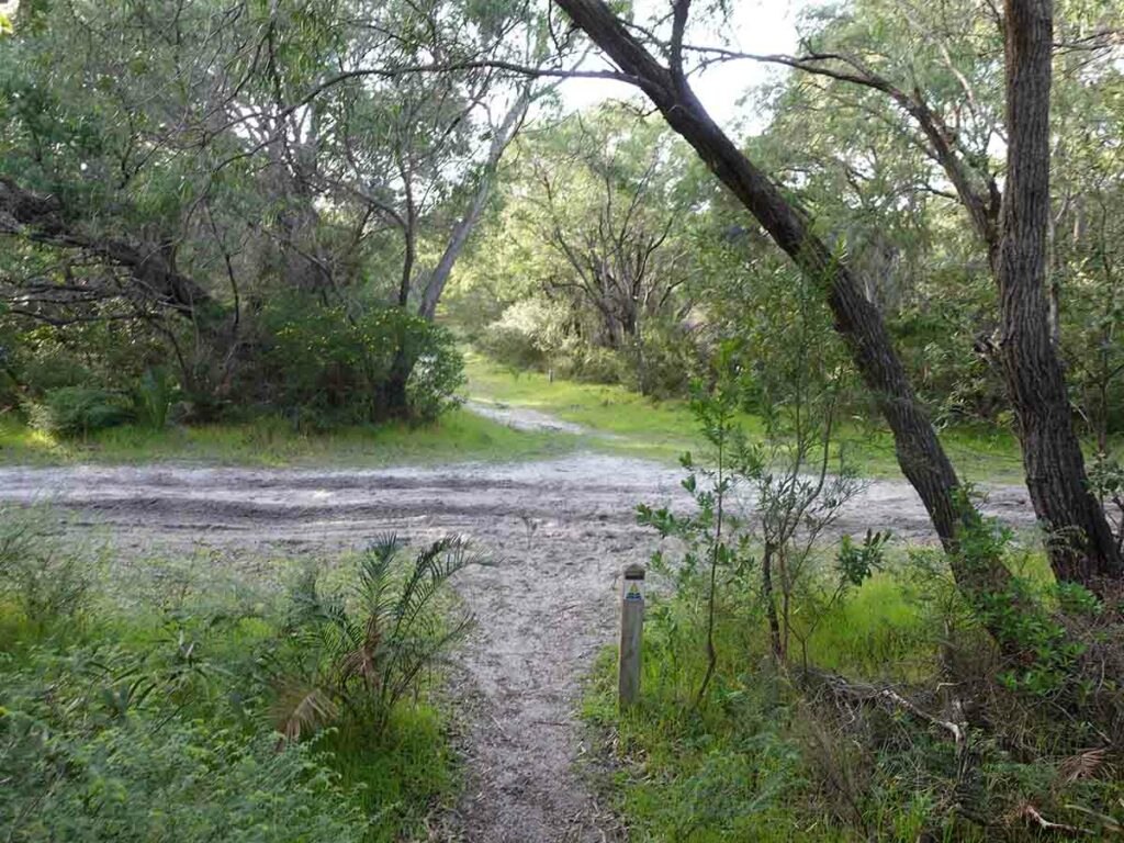
- Trail: This trail consists of formed track, occasional boardwalk sections, and beach/rock platform walking
- Dogs: Dogs are NOT allowed
- Camping: Only allowed at designated campsites so book early to get your desired dates
- Holiday parks also form your accomodation on this trail and at some of them you can book a cabin rather than tent it
- Other:
- This walk is best done starting at Cape Naturaliste and finishing at Cape Leeuwin in the south
- Its worth taking the guidebook for this hike with you
- Bring wet weather gear, you definitely need it during the colder months of the year but likely year round
- The flies are merciless in the hotter months so bring long sleeves and pants and a head net
- Inlet crossings
- There is one main inlet crossing on this trail which is at the Margret River mouth. There are also some small stream crossings that will require you to get wet feet during the rainy season. During the rainy season you may need yo take the bypass route and go around the Margaret River or alternatively arrange a kayak to get across
- Carry a copy of the tide times for this walk
- Pay attention to the tide times and where possible cross at low-lowish tide
- Do your research on how to cross inlets if you aren’t familiar with this practice. The depth and conditions of the Margaret River mouth will vary greatly so if there is any doubt, don’t cross
- There is one main inlet crossing on this trail which is at the Margret River mouth. There are also some small stream crossings that will require you to get wet feet during the rainy season. During the rainy season you may need yo take the bypass route and go around the Margaret River or alternatively arrange a kayak to get across
- Fuel
- Pick up your full at one of the major towns such as Augusta, Dunsborough or Perth as its hard to find on the trail at the smaller locations
Suggested Resources
In addition to the Australian Hiker Podcasts and write up the following resources will help with your planning
- West Australian Parks Service
- General trail information for the Cape to Cape Walk
- Campsite Bookings
- Go to the TrailsWA site here
- Friends of the Cape to Cape Track
- More resources here
- Wooditjup Bilya-Margaret River (river Mouth) Facebook Group
- This is a great resource that provides regular updates and photos of the Margaret River Mouth crossing
- Wooditjup Bilya-Margaret River (river Mouth) Facebook Group
- More resources here
- On trail accomodation
- Transport
- TransWA
- Transport to and from each trail head by bus and train
- TransWA
- Guidebook
- See our review here
- Farout phone app
- This app is a great on-trail and planning resource that’s well worth the money. Find out more here
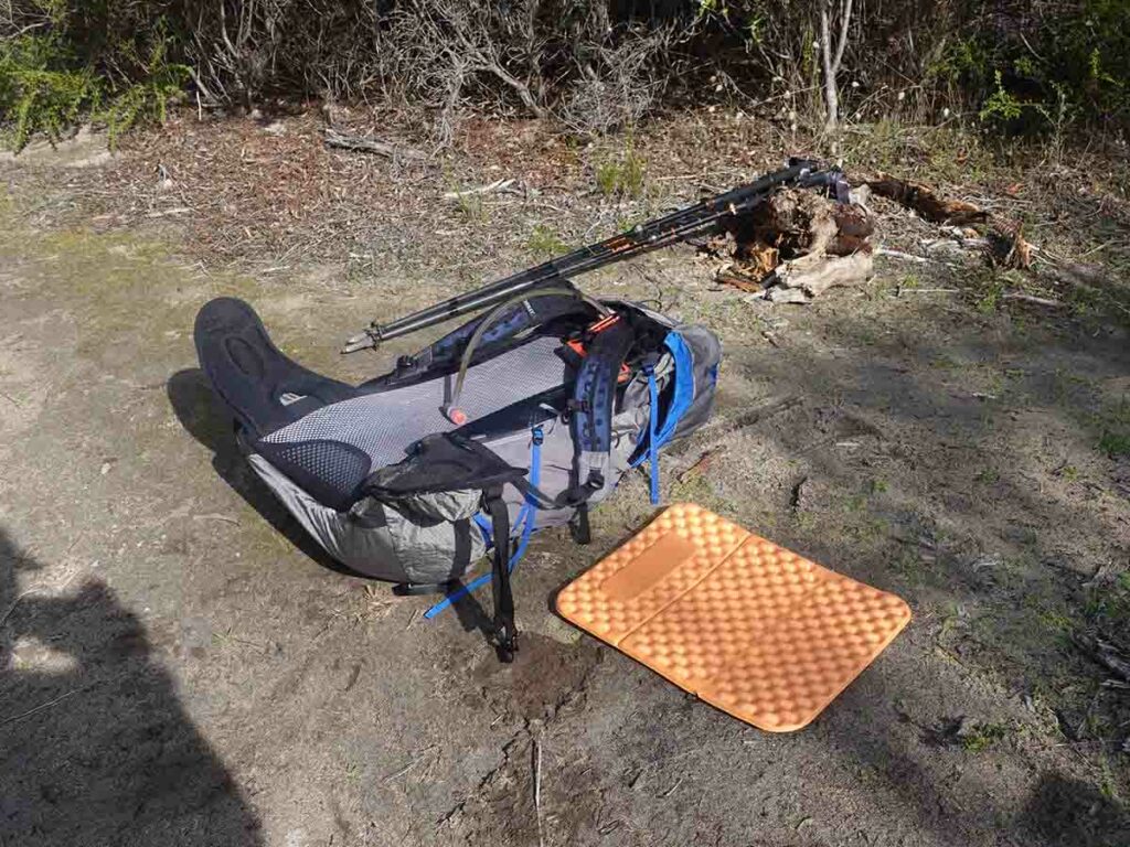
Equipment suggestions
Everyone has preferences in relation to gear they carry on a hike. The following are some suggestions on things worth taking based on our trip:
- Insect head net during the warmer months is a must
- Trowel and toilet paper
- Just in case you need to go in-between campsites
Have a look at Tim and Gill’s Multi Day Gear lists to use as a guide if you are quite sure what to take:
Disclaimer
This walk was undertaken by the team from Australian Hiker