Murramarang South Coast Walk NSW (34km)
Murramarang National Park
Nearest Town
Batemans Bay, NSW (closest major town)
Starting Location
- Pretty Beach (northern trailhead) recommended
- Maloneys Beach (southern trailhead) optional
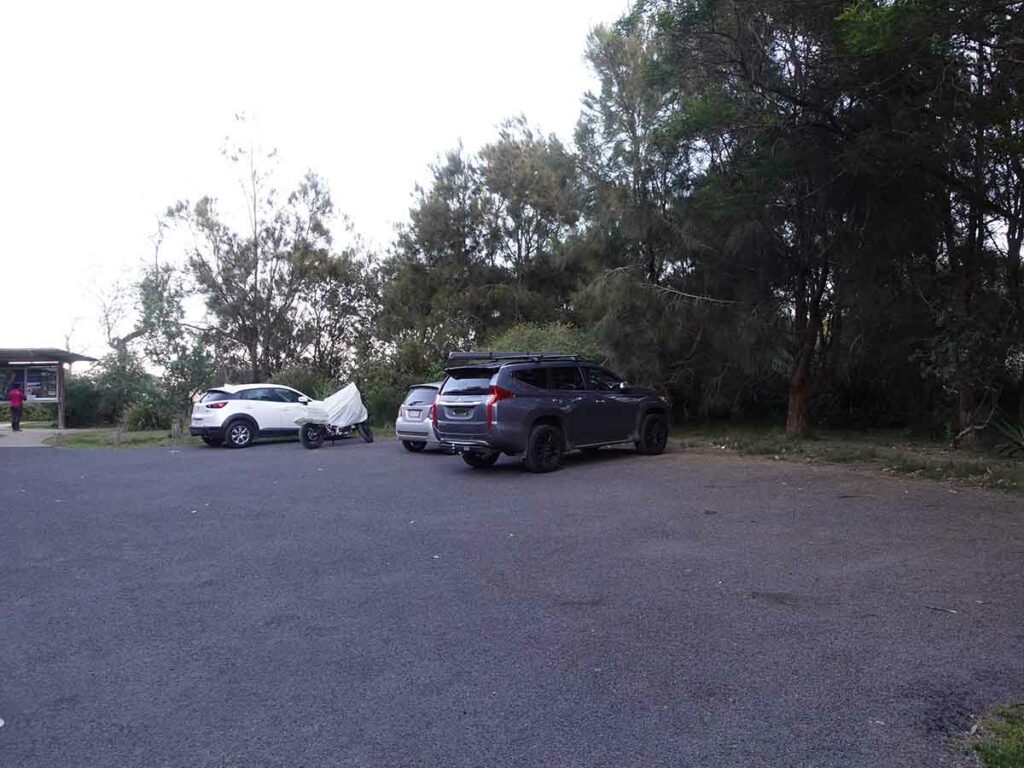
Car park at the Pretty Beach trailhead
Finish Location
- Maloneys Beach (southern trailhead) recommended
- Pretty Beach (northern trailhead) optional
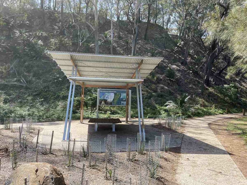
Trailhead at Maloneys Beach
Best Time of the Year to Walk
Year round but mid spring or late autumn are the picks for the weather and sea conditions
Who is this walk for?
Hikers of all experience levels will love this walk, we did! Having said that, this is a great walk if you are new to multi-day hiking
Which direction?
The Murramarang South Coast Walk can be done by travelling north-south or south-north. Tim walked this trail heading south and Gill did half of this trail on each of the two days travelling north before turning around with Tim and heading south. We both voted on travelling south as being the best choice given the great views. While this trail is by no means physically difficult, it’s easier travelling south.
Online resources
The following online resources will help you plan and book your hike
- NSW Parks Trail website
- Provides lots of information and accommodation options
- Some packages offer a shuttle service to help with the transport
- NSW Parks Service App (apple and Android)
- Quick to download and is a big help for navigation on-trail
- Murramarang Beachfront Holiday Resort
- A range of accomodation from glamping to camping and everywhere in-between, this is where we stayed and if doing this walk over two days, its in the perfect location
- Durras Lake crossing option
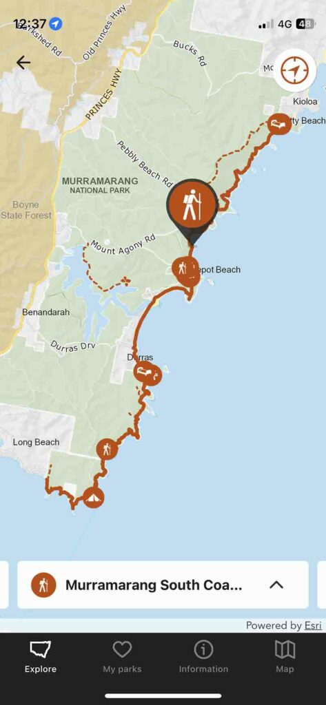
Example of map on the NSW Parks Service App
Murramarang South Coast Walk Review
This is another one of those walks I have been eagerly watching for a number of years for it to come to fruition. Between the 2019-20 bushfires and COVID, this walking track only opened in late April of 2023. One of the reasons I had been paying close attention is that I’ve spent much of my life walking sections of this coastline as well as spending time both on and in the water in this area.
This trail is 34 km long and is designed to be done over a three day period but having said that its also been designed to allow you to choose your own adventure. We did this walk over two days splitting the trail distance roughly in half and for fit walkers, this won’t be difficult to do. This trail is also one that would be very easy to dawdle on and take 3-4 days stopping along the way to swim or sunbathe, or even to fish if you are into that. There are also options to do side trails and extend the distance and duration if you feel like it.
We chose to do this walk in the way that it was designed starting at Pretty Beach in the north and making our way south to Maloneys Beach in the south. We know we can comfortably do 20 km per day so rather than do this walk over the three days, we opted to do it in two days. In our case we drove from Canberra on the Friday night and stayed at the Murramarang Beachfront Holiday Resort at South Durras. The next day Gill drove me to the northern trailhead at Pretty Beach and I started walking south with my destination being Murramarang Beachfront Holiday Resort at South Durras covering a distance of 18 km. Gill returned to the accomodation and started walking north to meet me before turning around and continuing the walk back to our accomodation. In addition to making the car shuffle easy, it also meant she got to see sections of the trail in both directions.
So how did we go?
Day 1 - just the facts
- Staring point: Pretty Beach trailhead
- Finishing point: Murramarang Beachfront Holiday Resort
- Direction traveled; South
- Distance travelled: 18 km
- Start time: 7:43am
- Finish time: 2:30pm (including lunch and morning tea break)
- Total time on-trail: 6 hours and 47 minutes
Day 2 - just the facts
- Staring point: Murramarang Beachfront Holiday Resort
- Finishing point: Maloneys Beach trailhead
- Direction traveled: South
- Distance travelled: 16 km
- Start time: 7:45am
- Finish time: 1:30pm (including morning tea break)
- Total time on-trail: 5 hours and 45 minutes
Trail experience
We left our accommodation at the Murramarang Beachfront Holiday Resort and drove the 40 minutes to the northern trailhead at Pretty Beach. While there were shorter routes to get to Pretty Beach, we opted to take the turnoff at Termeil which has the best road into Pretty Beach. If you don’t have a 4WD/AWD vehicle, choose this road for the sake of your car.
After doing the obligatory social media, I started walking at 7:43am straight onto the beach, across a small rock platform and then onto another longer beach which would very much be par for the course on this first day. We had perfect weather conditions and very flats seas so had an easy time of the beach crossings. I have also seen this coastline with some huge seas and if that’s the forecast, I’d look at changing your trip dates.
The signage on this trail is reasonably good and you just need to remember that if you’re travelling south then the ocean will be on your left. Signage on this first day is reasonably good with just one exception and there is usually a marker post with its little Kangaroo logo that points you in the right direction. This is where the recommended NSW Parks Service app comes into play. I used this app extensively over the two day trip and found that it worked better when you have downloaded the trail information and map than when you have phone signal; it just seems to work faster.
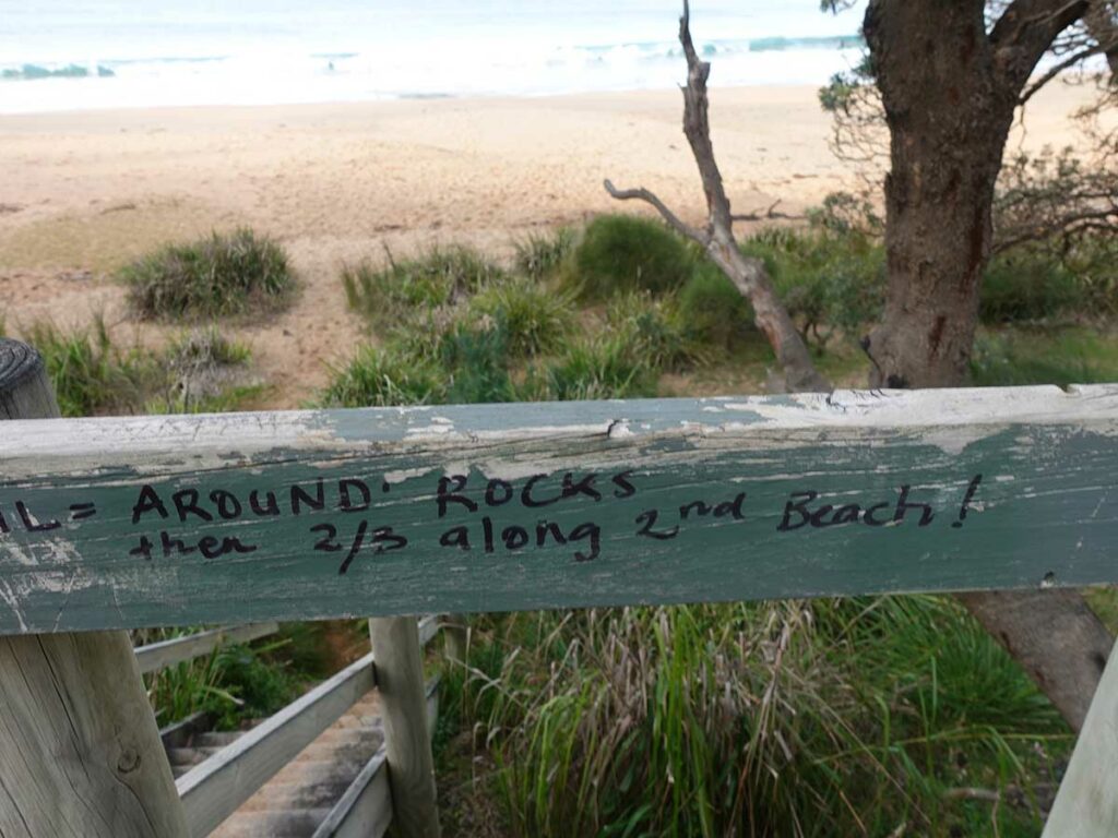
So long as you have location services turned on, you can see where you are on the trail and if you’re in any doubt, this little app is very accurate. Where the signage is lacking on the first day is as you leave the long beach as you’re approaching the Murramarang Resort. The app wants you to turn right off the beach to skirt the lagoon but there is no signage and the trail off the beach isn’t very obvious. While we found the trail, you will notice a set of stairs straight ahead and so long as there haven’t been heavy rains, the stairs are an easier option. There are a couple of other sections on the trail where you do really need to get the app out because you come across an intersection and it’s not obvious which direction to take. Case in point is when you descend onto Myrtle Beach – someone has written in permeant markers both on an approaching trail sign and on the stairs that descend onto the beach, that you need to go over the rock platform onto the second beach to find the exit back into bushland (see image below).
Now back to the trail itself. The first day spends more time on beaches and rock platforms than the second day which has more clifftop walking. One thing I will say about the trip overall is that in almost all cases, the elevation change is very gradual and minor. The biggest exception on the whole trip is as you walk up the hill at Depot Beach before heading down onto the North Durras Beach. The uphill from Depot Beach isn’t too bad but the downhill is steep and if you have chosen to do this walk in a northerly direction, you will certainly notice this hill.
The trail itself is in very good condition as you would expect being so new but at no stage were there any areas that looked like they would become muddy in periods of heavy rains. In most cases, the trail tread is formed track but there are also small sections of metal mesh every so often to protect the vegetation as well as the odd timber board walk from the older trail infrastructure still present. Most of the newer sections are made from rough swan sandstone which brings a certain character to the trail.
Wildlife at the time I did this walk was limited being restricted to kangaroos, the occasional wallaby (including one that shot off as I passed by), and lots of birdlife. For me the biggest plus of this trail is the vegetation, which while there is some consistency along the trail there are also changes as you go so you don’t become bored with what you’re seeing. Gill made the comment that she preferred the southern end of the trail closer towards Batemans Bay and I must agree as I found myself just wanting to sit and take it all in.
Infrastructure on this trail is limited which I don’t mind. All up there was one wooden seat on this trail located near the northern trailhead and I noticed two large sandstone blocks which also make great seats. The main infrastructure on this trail that isn’t part of one of the pre existing villages, is the Oaky Beach Campground which is located approximately 8 km for the Maloneys Beach trailhead. There are a series of large tent platforms that will comfortably take two tents as well as a shelter for cooking meals and socialising. Oh and not to forget the toilets which are also present at the various camping facilities along the way.
Prior to this walk my biggest concern was the inlet crossing at Nort Durras and only a few week prior to our trip the water depth was around chest hight. We opted to drive in and have look on the day we traveled to the coast and this gave us good piece of mind. I would strongly suggest that you either print out some tide chart or have a tide app on your phone. Where possible, try to avoid high tide which is easier said than done because we turned up around noon on the first day and hit high tide which thankfully was only around waist deep. If you have a concern about crossing inlets, contact the local NSW Parks Service because there is an option to get a canoe across (for a fee) which is apparently what many hikers do or contact http://www.bayandbeyond.com.au/crossings. If there have been periods of heavy rains and big seas, a canoe may well be your best option otherwise you’ll need to take the long walk out to the road and around the inlet.
From the inlet you have a long walk down the beach to the Murramarang Resort. One thing to note is that the sand on this beach is really, really fine and it’s almost impossible to get rid of it without having a shower. Speaking of showers, the Resort has great accomodation options ranging rom tent sites, glamping tents to a variety of cabins. In addition, there is a good restaurant/cafe that serves what can best be described a ‘pub food’ meaning good wholesome food, good prices and big serves. We opted for a cabin which while it wasn’t cheap, meant we could get away doing this walk with 20 litre packs. If however you decide to ‘rough it’, then you will be carrying a larger pack to cater for all the camping gear. At the end of day one we reached our destination at around 2:30pm ready for afternoon tea and an early dinner.
Day two started by walking out of our cabin door and connecting back up with the trail that runs past the Resort on the beach. On this second day it felt like I spent the first hour not straying very far from the Resort. I looped around the headland above the Resort before heading off along the coastline. As mentioned this second day just had a different feel to it walking through large Eucalyptus forests and spending more time walking along headland above the beaches. I just wanted to sit and take it all in. As per day one Gill started her day from the other end at the Maloneys Beach trailhead before we met up on-trail on the northern side of the Oakey Beach campsite before walking back to the southern trailhead.
While we managed to have some really good weather on this walk, its worth noting that nighttime temperatures on our walk almost reached zero degrees Celcius so make sure you take some cold weather gear with you. On both days I started walking with my puffy jacket on but after about an hour I stripped it off given I and the weather warmed up. Daytime temperatures reached around 17 degrees which in my case is an ideal hiking temperature.
So what did we think? We both loved this trail and will defiantly look at doing it again which is rare for us. In fact we liked this trail so much that when it comes time to update our Top 10 favourite hikes list this one will make the cut!
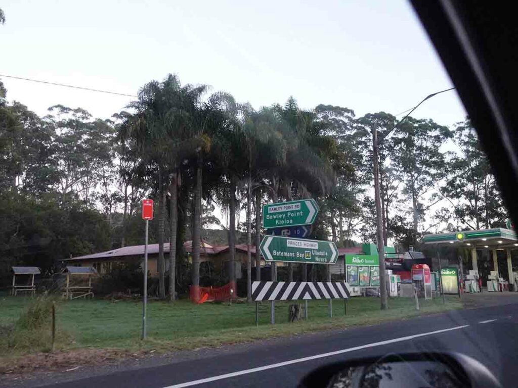
Turnoff to Pretty Beach
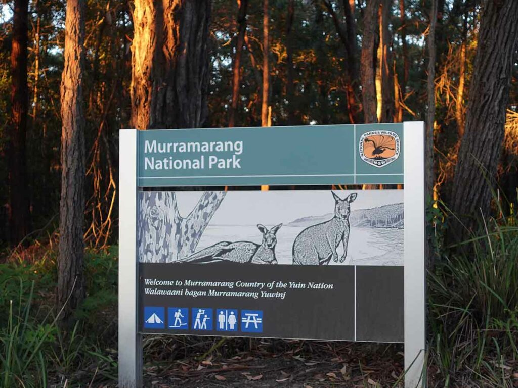
Approaching the northern trailhead
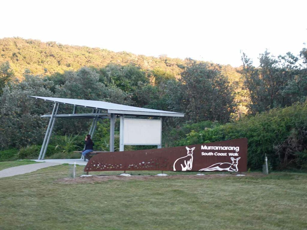
Shelter at the Pretty Beach trailhead
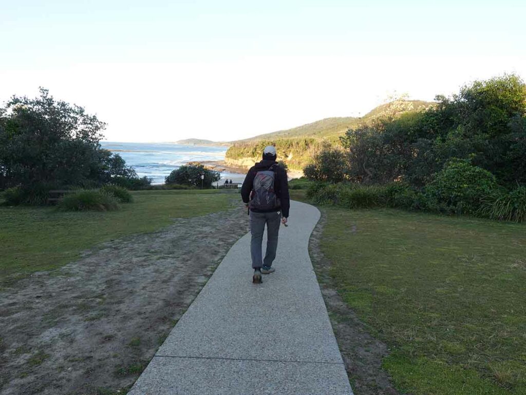
Away I go on the Murramarang South Coast Walk
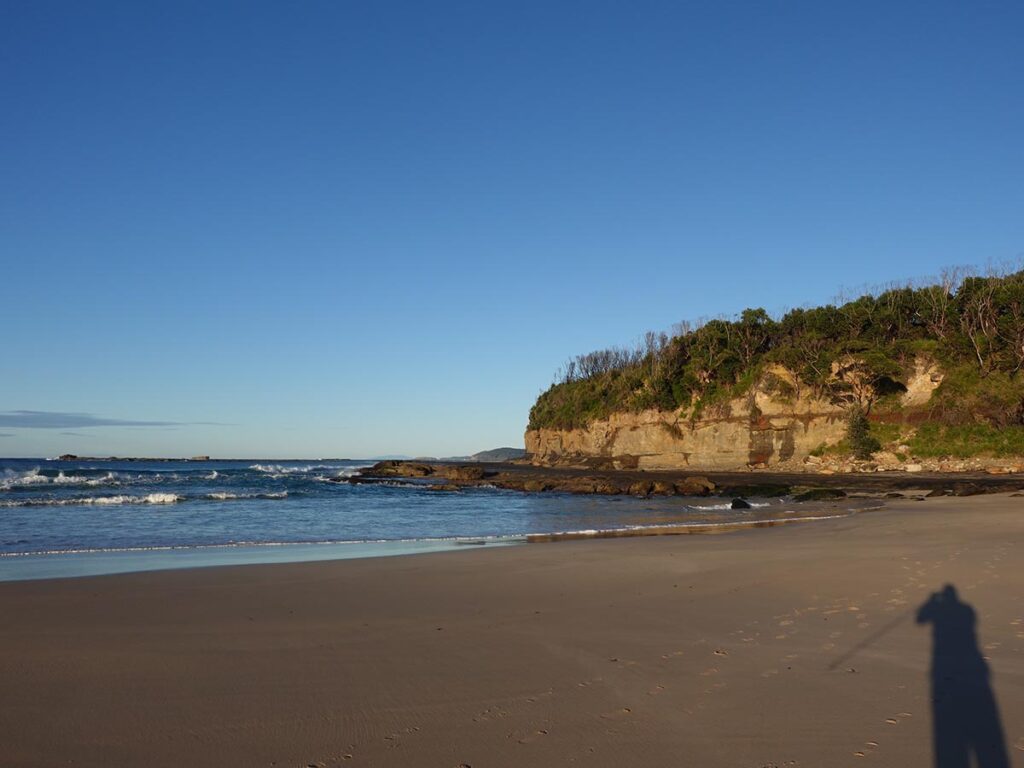
First beach and first rock platform about 100 metres away from the trail start
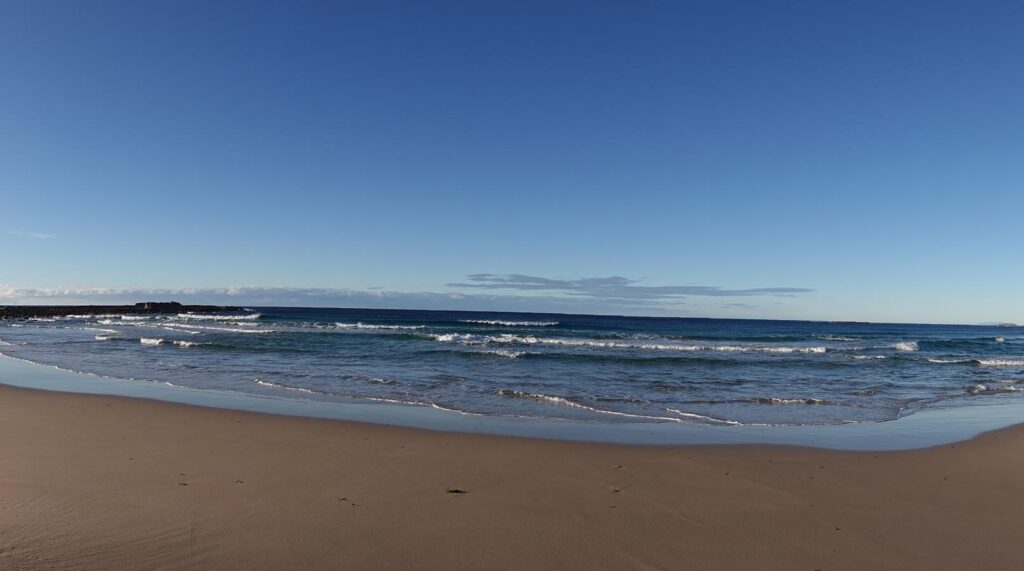
And another beach
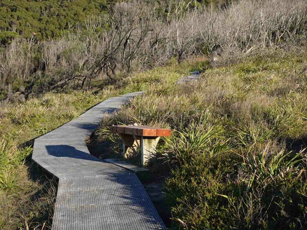
Mesh boardwalk and seat. This was the only timber seat I could find on the trail
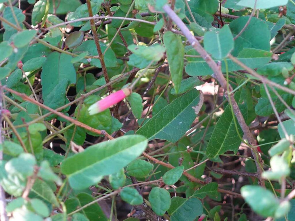
Correa in flower
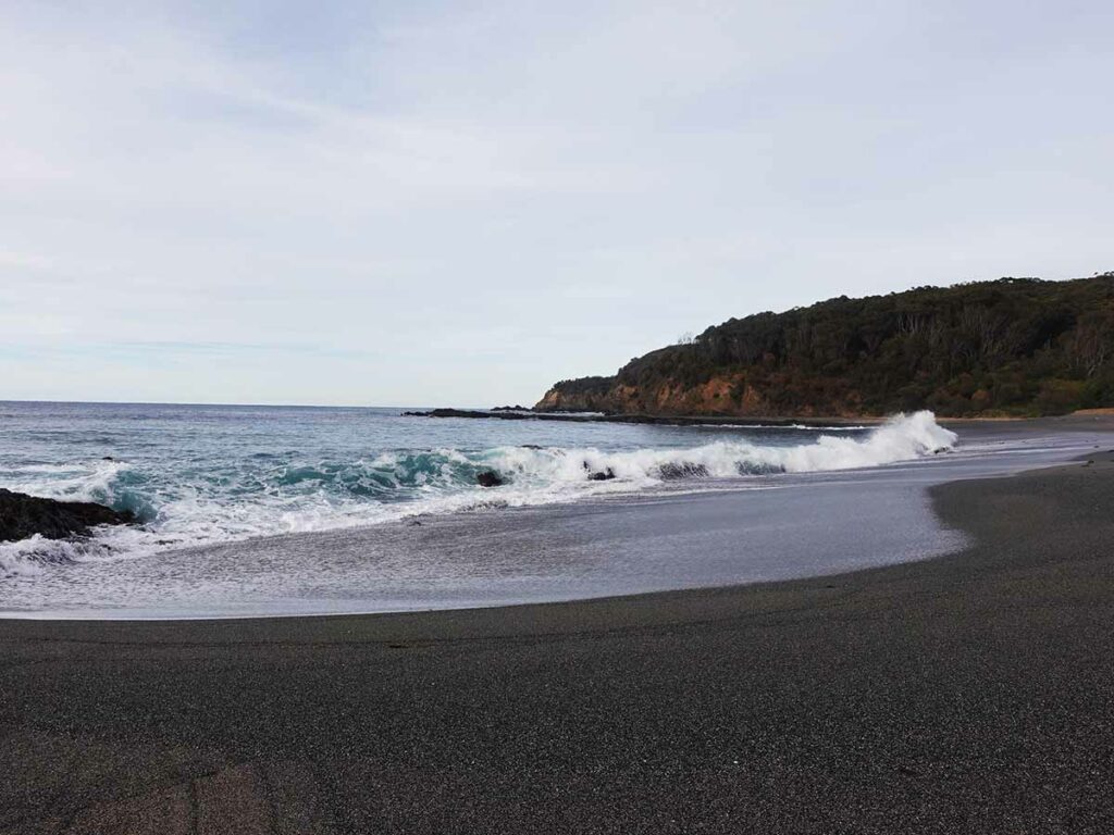
Beach with waves
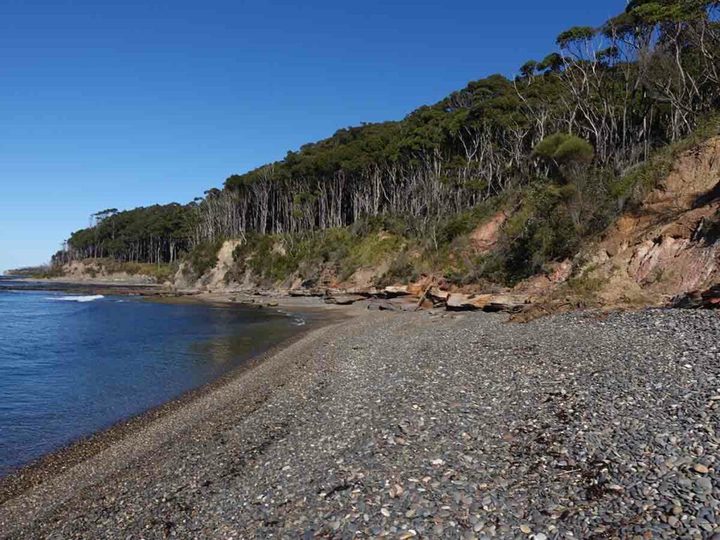
Rocky Beach walk
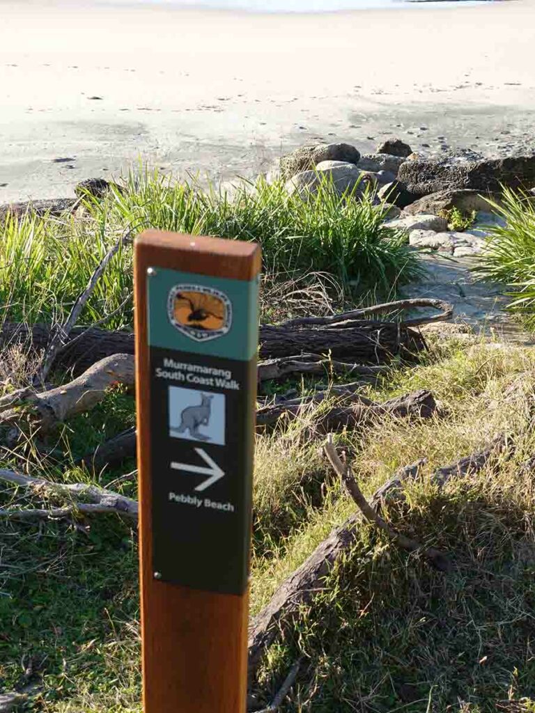
Trail marker sign on the Murramarang South Coast Walk
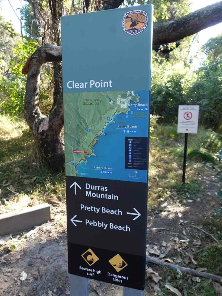
Larger trail marker sign
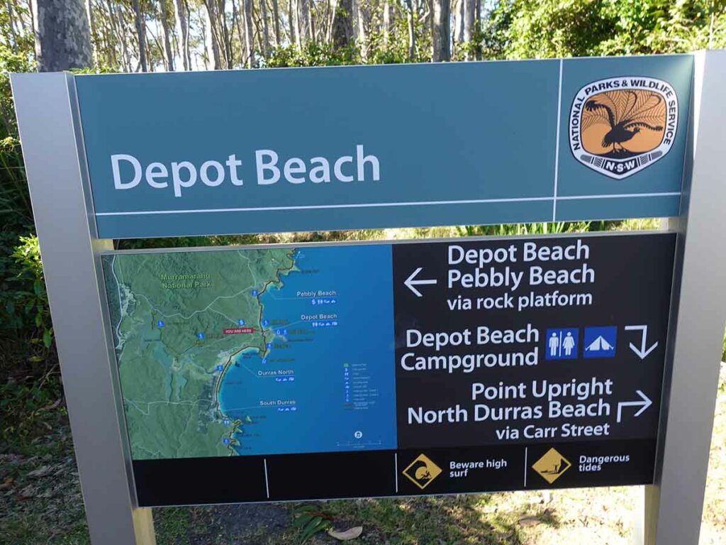
Larger trail marker sign 2
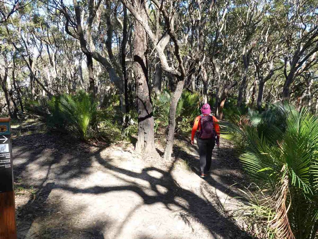
Trail example leaving Depot Beach. The hill up above Depot Beach is covered in Macrozamias
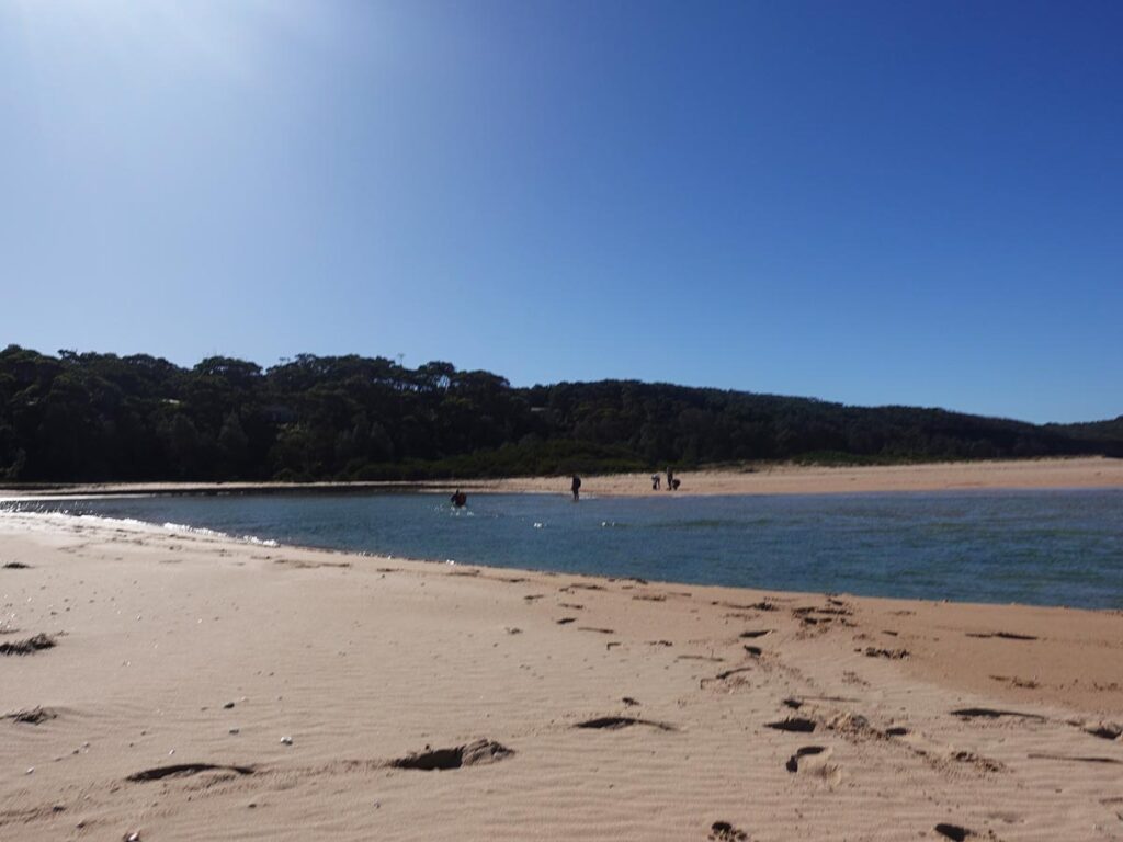
Hiker crossing the Durras Inlet. Watch the slideshow to see a video of Tim crossing
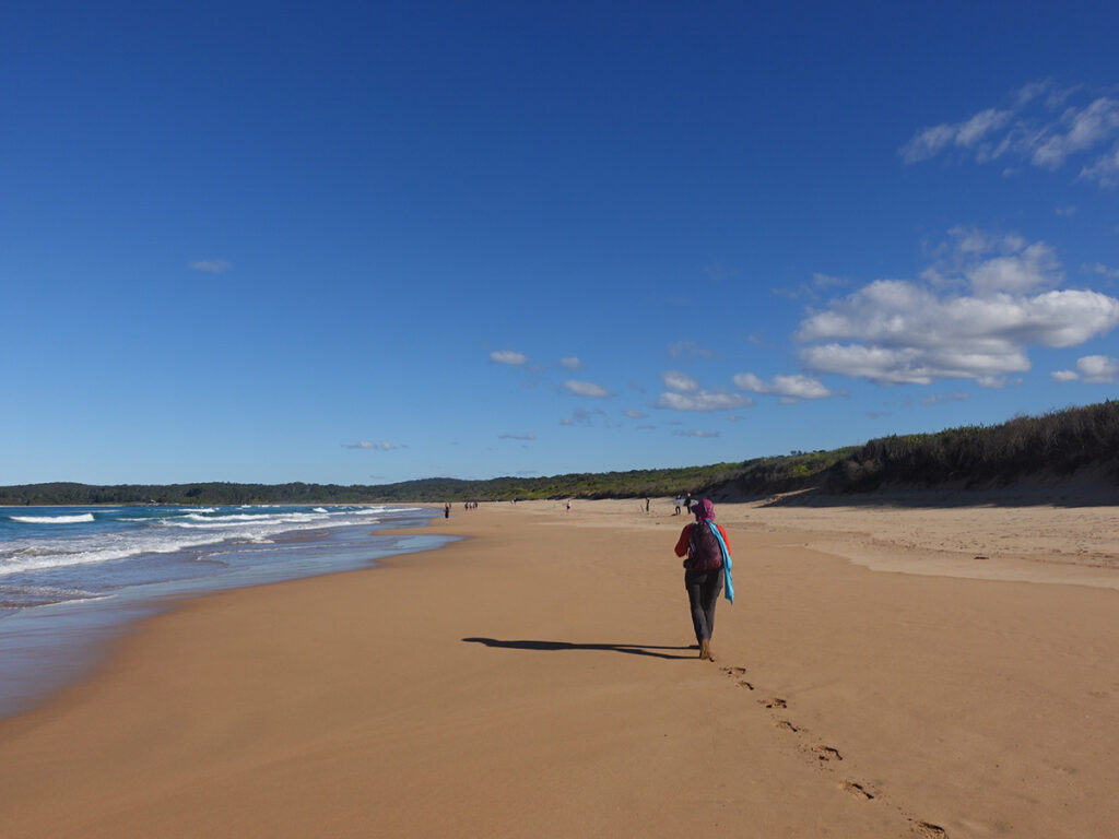
Gill heading towards Murramarang Resort
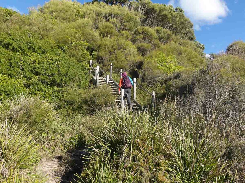
Up the stairs. The stairs aren’t officially part of the trail and access can be restricted due to heavy rains but they are more noticeable than the trail proper and achieve the same result
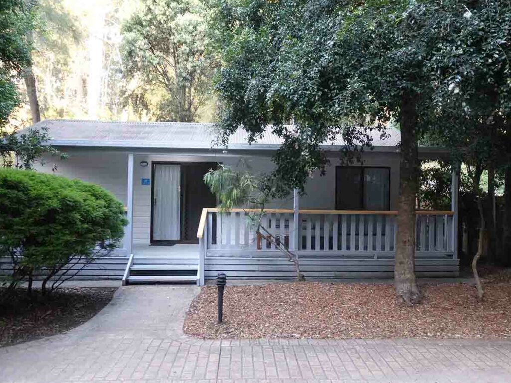
Our accomodation at Murramarang
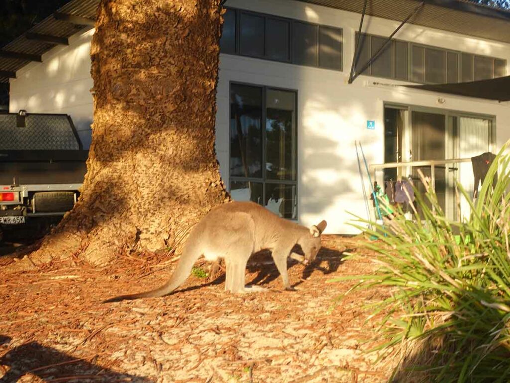
Kangaroo at Murramarang Resort
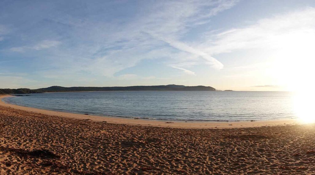
Beach at South Durras day two
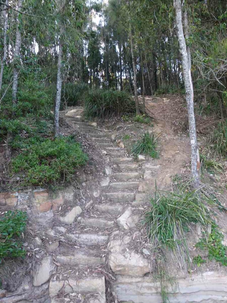
Stairs at the start of day two
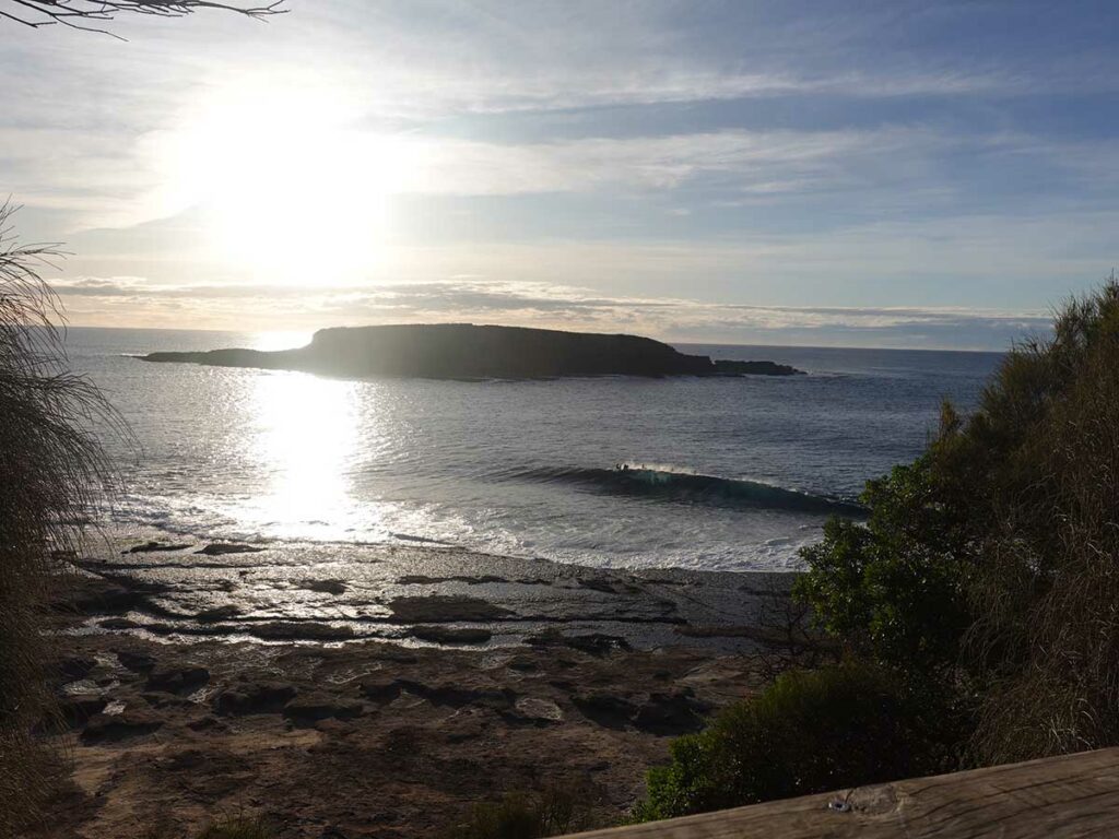
Wasp Island on the headland above the Murramarang Resort
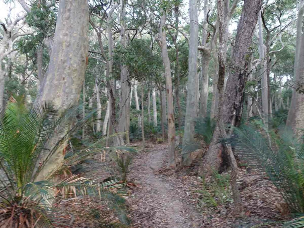
Trail example day two
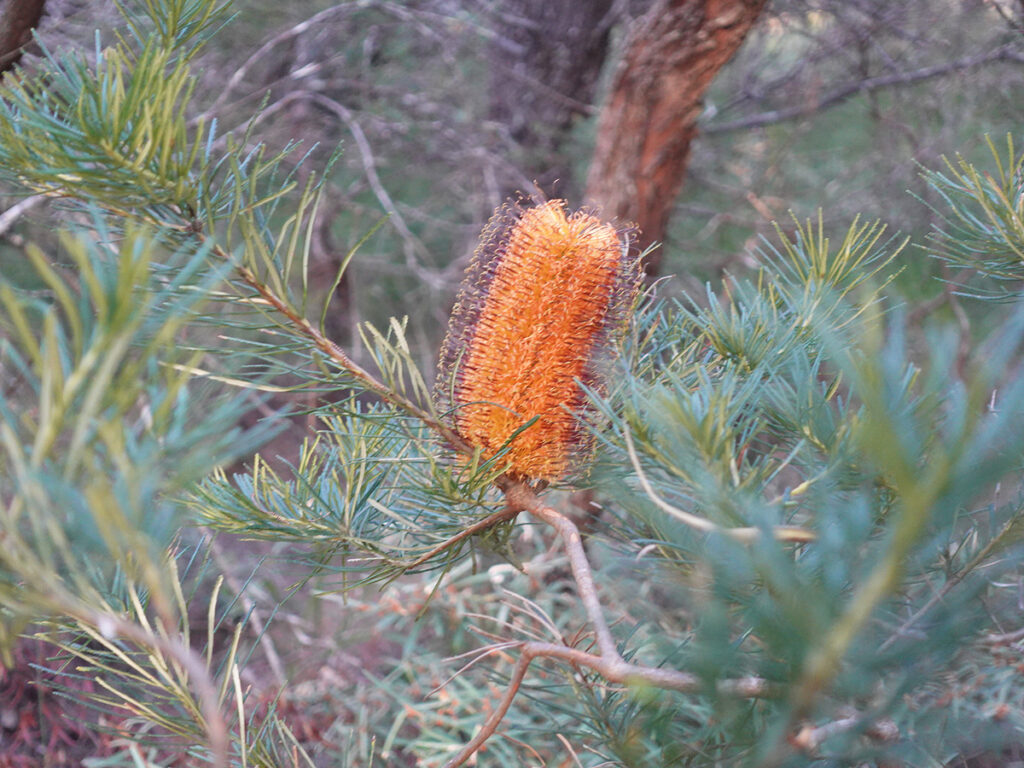
Banksia in flower
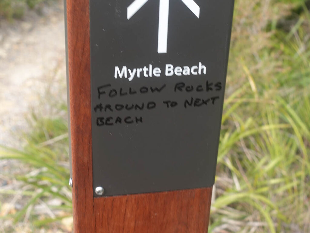
Additional directions on one of the signs approaching Myrtle Beach
More directions
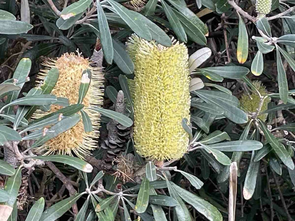
Banksia at Myrtle Beach
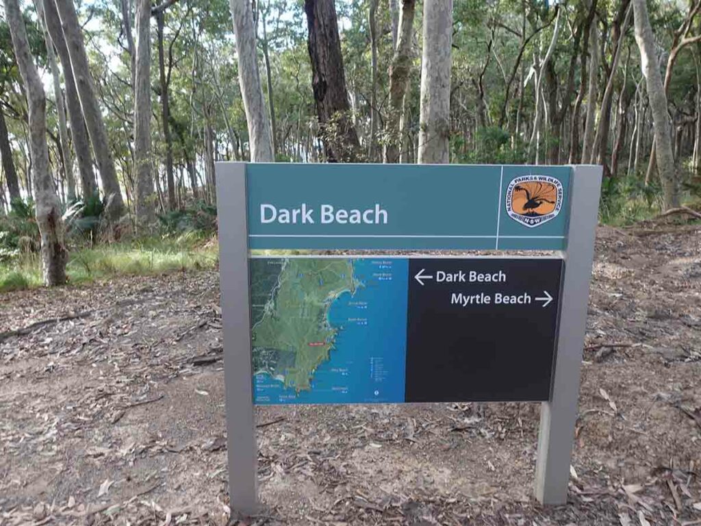
Trail sign day two
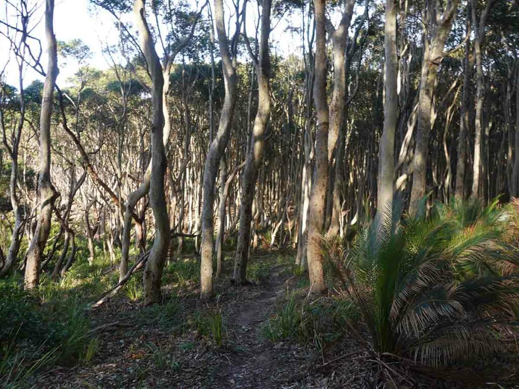
Trail example day two 2
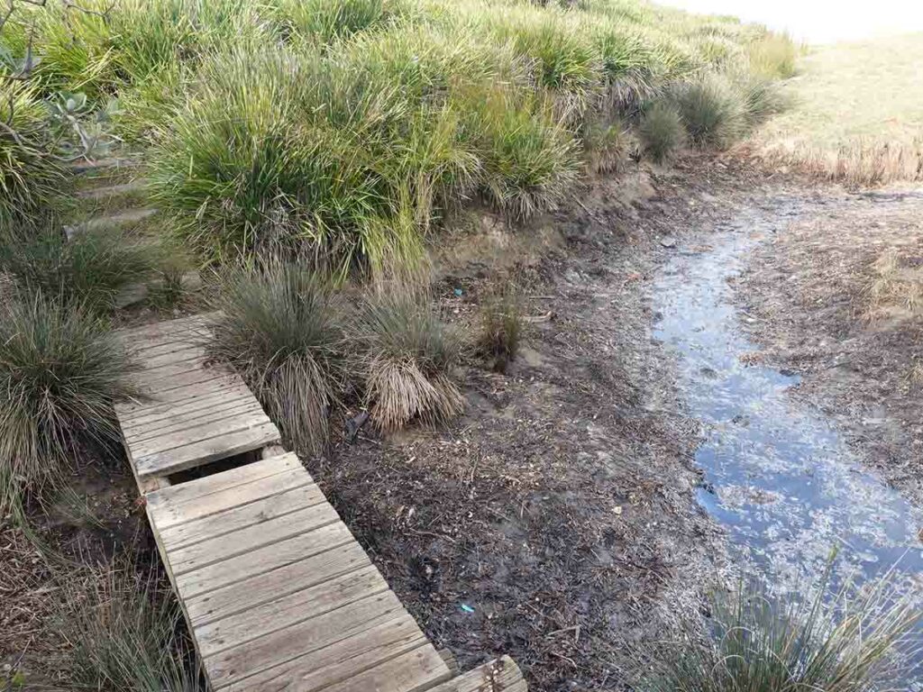
Old trail infrastructure on day two
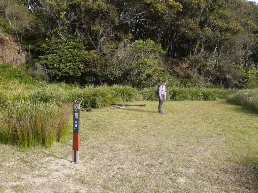
Heading to Oakey Beach Campground
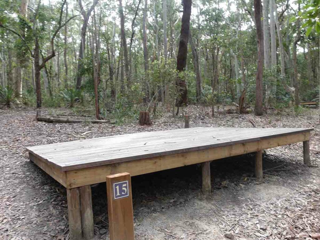
Tent platform at Oakey Beach Campground
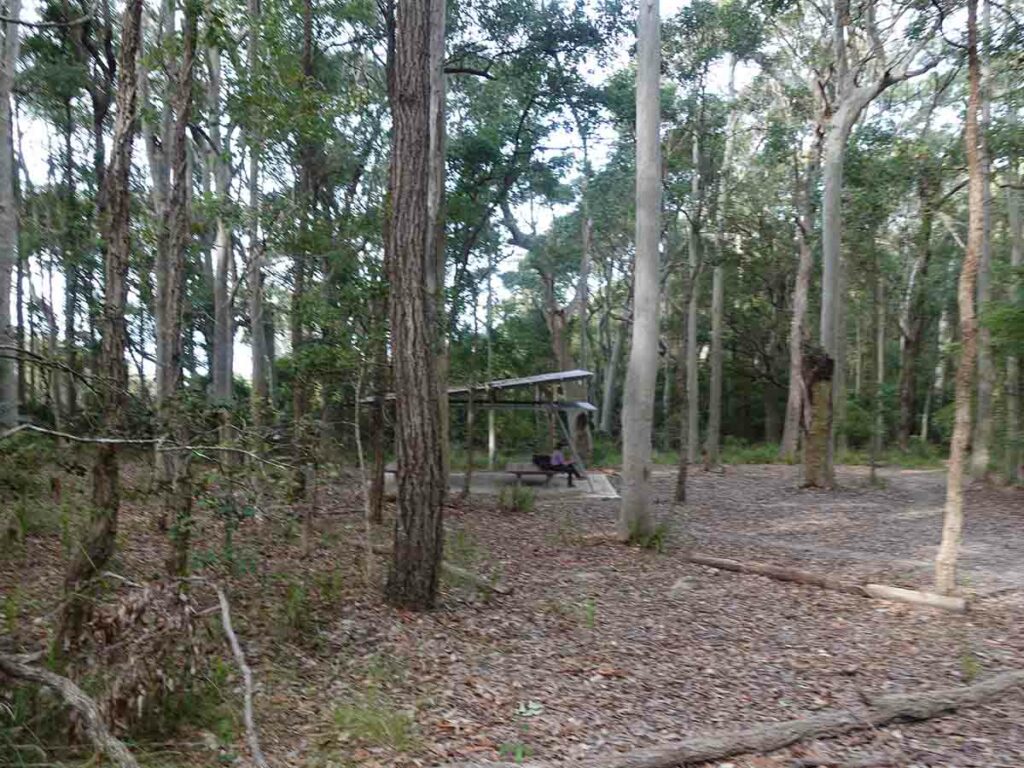
Shelter at Oakey Beach
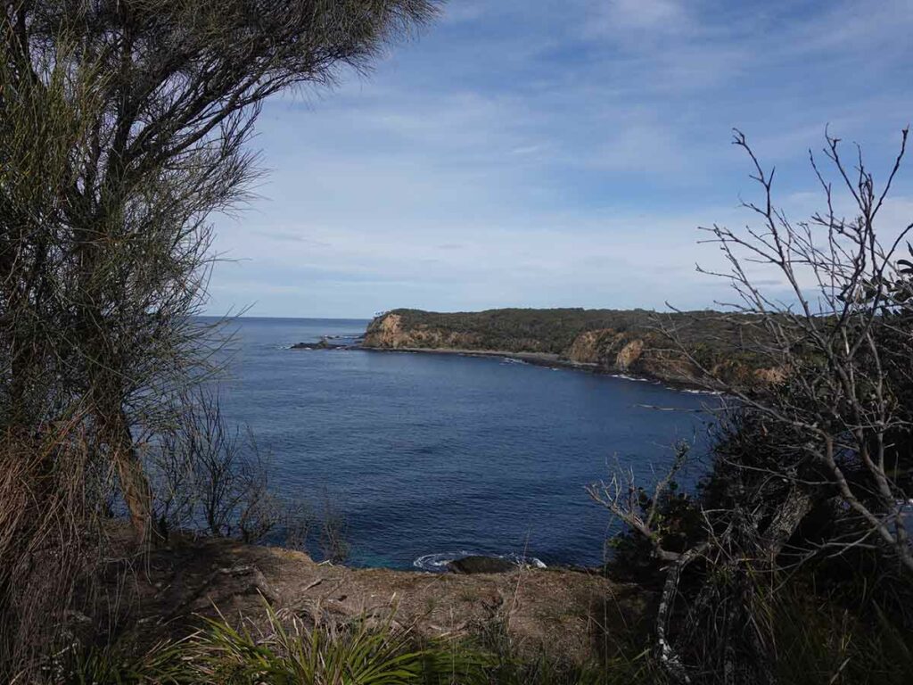
Clifftop views
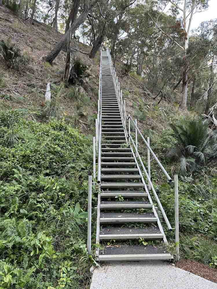
Stairs at Maloneys Beach. Apparently there are 113 steps

Trail Head at Maloneys Beach as at 10 December 2023 that has now been completed
Trail video
This short video contains photos and videos to show you the walk from start to finish
Trail location
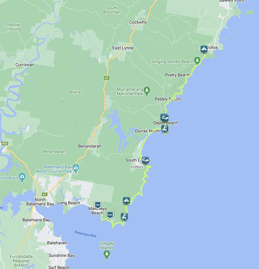
Map showing the location of the Murramarang South Coast Walk located north of Batemans Bay in southern NSW
Getting There
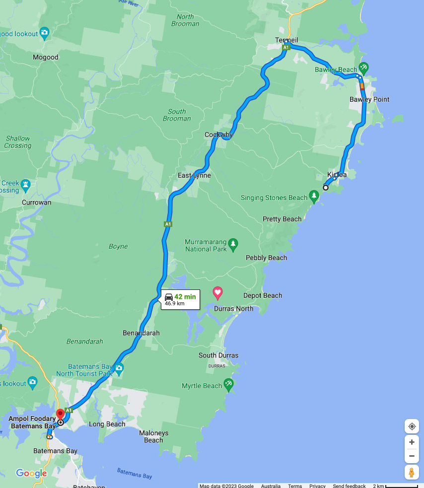
Google Map from the base of the Clyde Mountain to the main trailhead at Pretty Beach. Roughly a 42 km and 45 minute drive. There are shorter routes but this one is on good quality bitumen road. If you don’t have a 4WD/AWD avoid the shortcuts as the potholes can be serious at times
Things to know
- Phone: There is variable phone signal on this trail (Telstra), mainly near the small villages that dot the trail and as you approach Batemans Bay
- Water: Bring your own water otherwise bring a filter and draw water from the accomodation sites
- Toilets: There are toilets on this trail at the accomodation sites
- Trail: This walk is on formed trail with small sections of steel mesh, stone steps, and beach (rock and sand) walking
- Dogs: Dogs not allowed
- Camping: Camping allowed within selected areas
- Other:
- Ticks! Wear long sleeves and long pants particularly during the warmer months. Stay out of the grass and long vegetation
- The ocean
- Watch your footing when walking on rock platforms as it can be slippery
- Don’t turn your back on the water particularly when the water is a bit rougher
Disclaimer
This walk was undertaken by the team from Australian Hiker