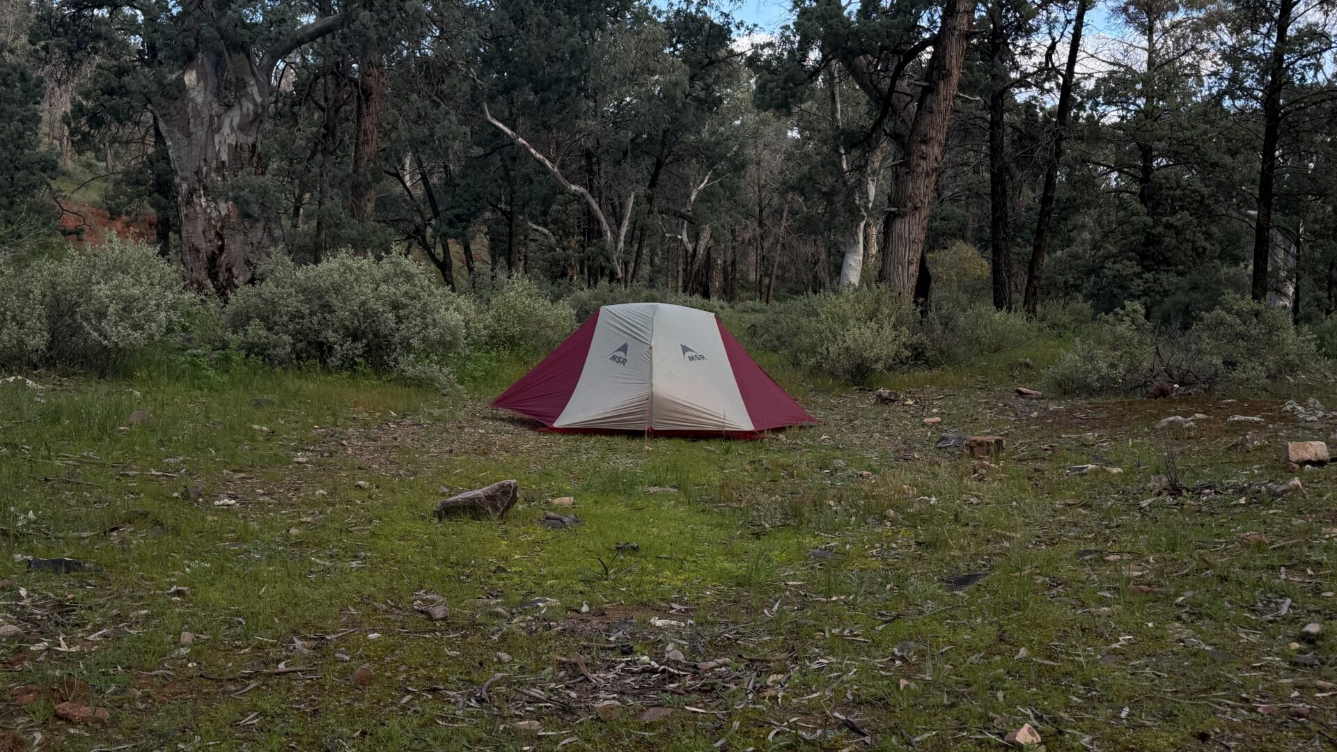
Given how early I went to bed last night I slept in blocks until the alarm went off just before 5:45am. I am dressed and have packed away some of my gear. After I finish this post I will pack everything else away with the aim of heading off by 7:30am. Last night was warm and at no stage did I get cold.
Today I’m heading to Aroona Campground which is about 18 km away which is one of my shorter days of this trip and a good way to ease myself into what will be my biggest hike to date.
The day itself went well and I am feeling mentally and physically up for this trip but I am not travelling as fast as I used to so throughout the day including breaks I’m averaging just over 3 km per hour. Given I have just started and am carrying unwanted body weight, I expect my speed to increase over the coming weeks. It does provide a good marker for my speed. I need to leave camp to get to my destination by 4:00pm which allows me to get set up and organised before it starts to get dark. The first half of this day I was powering along but did slow down as the day went on.
Signage wise the trail is easy to follow but I discovered early on that when you come to a fork in the trail you don’t just need to think left or right but also ‘middle’. I had a few times when I should have gone up the centre but I went right rather than take one of the branches in the creek bed. I didn’t go far as I was presented with a three metre tall fence so turned around and found the proper route. I also had one instance here there were no trail markers, possibly due to the heavy rains and took the risk which proved to be correct.
The other issue with the trail markers at the movement is that on a number of them the vegetation is so dense that sometimes they are very hard to spot.
The recent rainfall has also resulted in water channels in some sections of the trail with the biggest one being about two metres wide and almost the same depth which requires a sidetrack to head back up on a more gentle gradient.
Wildlife was pretty minimal on this day with just one emu being sighted along with some other lovely parrots. I did hear a number of other birds but don’t have the knowledge to work out what they were from their song.
Temperate wise it was a good day and at no stage did I feel hot or get sweaty. In fact if I had been sitting for an extended period I would have needed to put my rain jacket on. Later in the afternoon the cloud cover increased and the temperature dropped a little. At one stage I had about ten spots of very light rain but thankfully that was all.
Vegetation wise apart from being lush in some sections the main trees were native conifers. This conifer dominates this part of South Australia and creates a unique environment.
I reached the on-trail water source after midday and stopped for lunch and then continued on to Aroona which snuck up on me as I crossed a fence and saw the ruins about 69 metres to my right. I had a quick look around the ruins before heading down into the valley to the Aroona campsite.
This is a paid site and in all honestly isn’t designed for hiking tents, but vehicle campers and caravans. Ideally they need to set up a site with tent platforms to cater for the small hiking tents. I ended up crossing the creek bed and camping on a grassy flat area which while not as good as it looked from the other side, was far better than anything on offer in the campground.
After setting up and sorting my water out I ended up having dinner just after 4:00pm but not long before another hiker turned up who was also doing the entire walk and in this case it was her second time. I was in bed by 5:30pm after a tiring day. After doing some podcast recordings I settled down for a much needed sleep.
One thing that I do on my long distance hikes is share my location through Garmin Mapshare. This online map lets you see where I am, with a time delay built in, and how I’m progressing. If you are out on-trail and have internet access to use this map, say hi if I’m nearby. The farther apart the pins, the faster I am moving! In addition if you zoom in you can see the terrain from close up however it doesn’t really reflect the lush state of this area at this stage.