2026 Heysen Trail
Day 1
Day 1 And so it begins
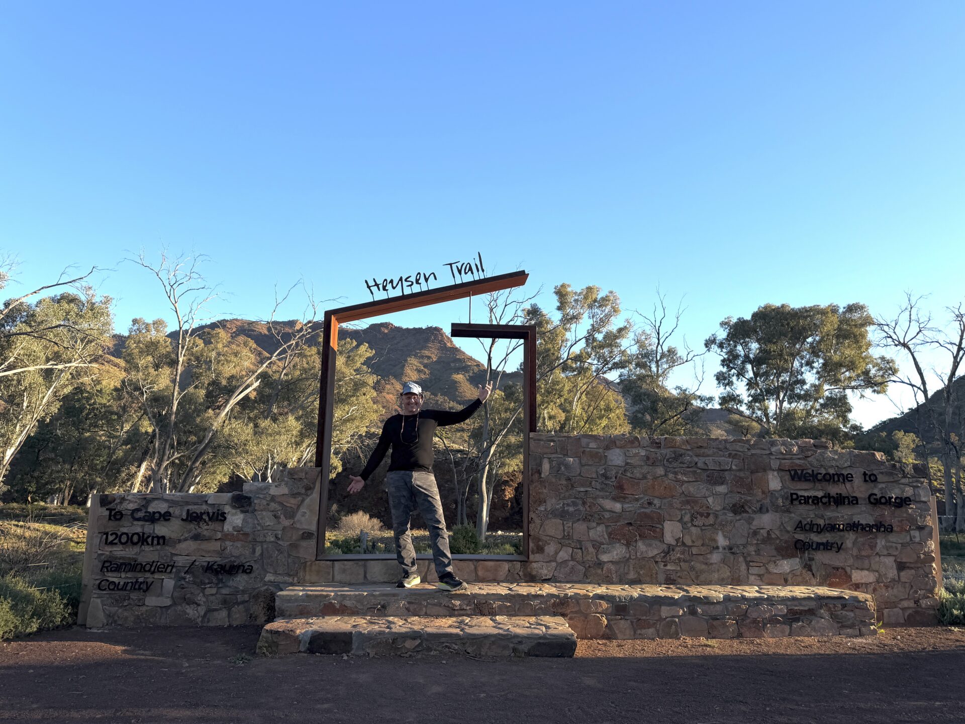 Tim at the northern trailhead
Today is my final travel day and also where I start the Heysen Trail. After doing some social media early on I headed into town for breakfast and also to buy some pens as I needed to send my duffle bag and puffer jacket back to Canberra which is a bit hard when you can’t write on the post bag. Once I had all that sorted out I checked out and went up to the Wadlata Outback Centre which was where I was being picked up. After sitting outside in the sun for about an hour I head inside for an early lunch.
By the time I came out the Melbourne hiker that I met yesterday had turned up and shortly after our transport had also turned up so we left about 15 minutes earlier than we planned at 1:15pm. On the way up north we picked up another hiker, Michael, at Quorn who was doing the northern section of the trail so unexpectedly there were three of us starting on the same day.
For some reason the trip took longer than I thought and by the time we got to Parachilna is was approaching 4:30am. After the obligatory social media and trail head photos if was off for what turned out to be a 598 metre walk to the walking campsite according to my GPS. There ended up being only 2 hikers camping this night as the women from Melbourne had pushed on and given her speed she seemed to be making short work of it. Michael, the Tasmanian hiker who was doing Parachilna to Qourn due to timing constraints, and myself.
This site was overgrown due to the heavy rains of the past month which apparently dropped a massive amount of rain which the local said they hadn’t seen in 30 years. I must admit that while I knew about the heavy rains I didn’t realise the impact that it could have on the environment.
The campsite itself was basic containing a water tank with a satellite sensor so the level could be checked remotely, and that was about it. While there was a lot of vegetation the tents sites were bare earth. After chatting for a while and having dinner it was time to sleep.
One thing that I do on my long distance hikes is share my location through Garmin Mapshare. Through this online map you will be able to see where I am, with a time delay built in, and how I’m progressing. If you are out on-trail and have internet access to be able to use this map, say hi if I’m nearby. Please note that while this mapshare will go live on this day but given I’m only walking 500 metres to the first campsite it won’t really make much sense. Tomorrow is an 18km day so mapshare will make much more sense as it drops pins based on time. The farther apart the pins, the faster I am moving! In addition if you zoom in you can see the terrain from close up however it doesn’t really reflect the lush state of this area at this stage.
You can see where I will be able to see where I’m at the following link:
https://aus-share.explore.garmin.com/HeysentrailAH
If you have any questions about my journey drop me an email at info@australianhiker.com.au and I will reply when I can within the whims of the internet signal which will be erratic on the northern end of the trail so it may be several days before I can respond.
Previous Post Today is my final travel day and also where I start the Heysen Trail. After doing some social media early on I headed into town for breakfast and also to buy some pens as I needed to send my duffle bag and puffer jacket back to Canberra which is a bit hard when […]