Urambi Hills ACT (2.3km)
Canberra Nature Reserve
Nearest Town
Canberra
Best Time of the Year to Travel
Year round
Starting Location
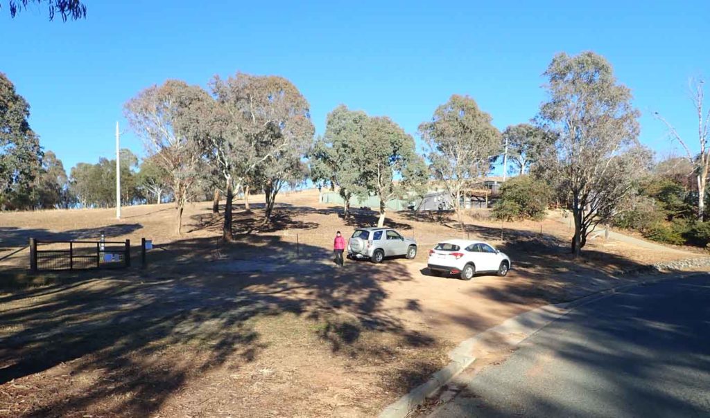
Car park just along Meredith Street in Kambah
Finish Location
Car park along Meredith Street in Kambah
Urambi Hills Walk Review
This walk is not particularly long or difficult but it will get your breath racing as you summit the two hills, in particular the first one as its a steady climb all the way up. To start this walk you have two main choices but we strongly recommend using the Meredith Circuit end as we feel its a bit more scenic.
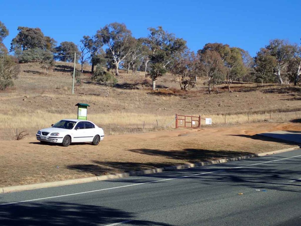
Park your car just of the road in the green space between the houses (at around 40 Meredith Circuit). This is minimal signage on this walk with the exception of a few arrowed posts but the trail is pretty easy to follow. Head through the first two gates and make you way up the heavily work track up the hill to the first summit. On your way to this mid point of your ascent you will pass though another gate and at this point the views, mainly towards the Western Border of the ACT and the Brindabella Ranges open up.
Head on past the first hill then down before starting your ascent up towards the second hill which is hidden by trees until you almost reach the summit. You gain some views at this point towards the suburb of Kambah and over towards Mount Taylor and Black Mountain in the distance. The second summit is marked by a Trig Station and provides excellent views below the Lake Tuggeranong and the Tuggeranong Town centre below as well as views to the adjacent farmland and neighbouring Namadgi National Park. There is a small seat just of the summit of the hill towards the trees if you feel like a bit of a rest.
From here head back the way you came and rather than heading past the smaller of the hills which you passed on the way over make a small detour to this summit which has a newer seat that provides views down into the suburbs below. From here head back towards the track and back down towards the car park.
While not a long walk it does provide easy views and is well worth doing at least once.
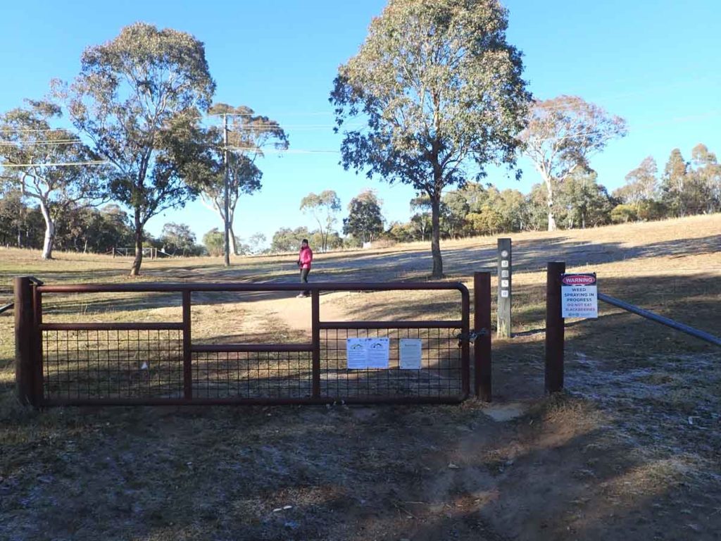
Through the first gate follow the well worn trail
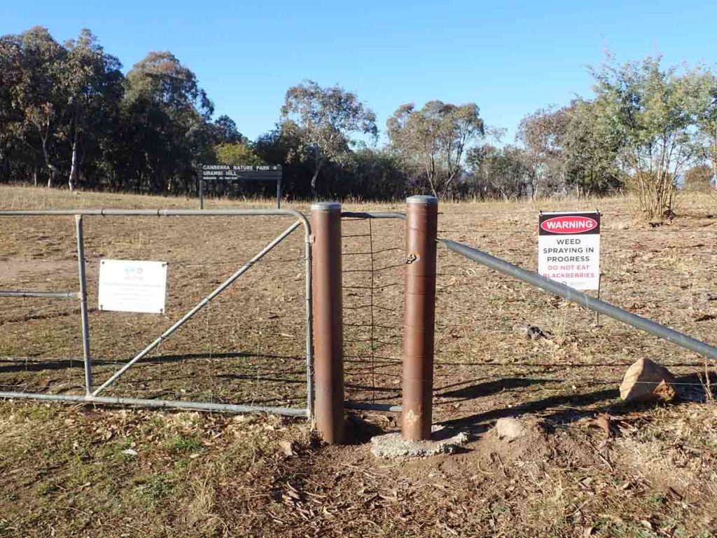
Through the next gate
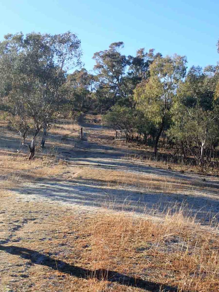
Up the hill along the well worn trail
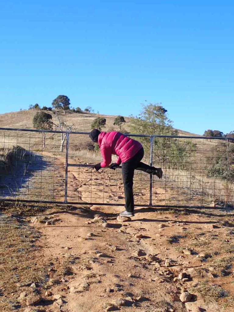
Oh look! another gate
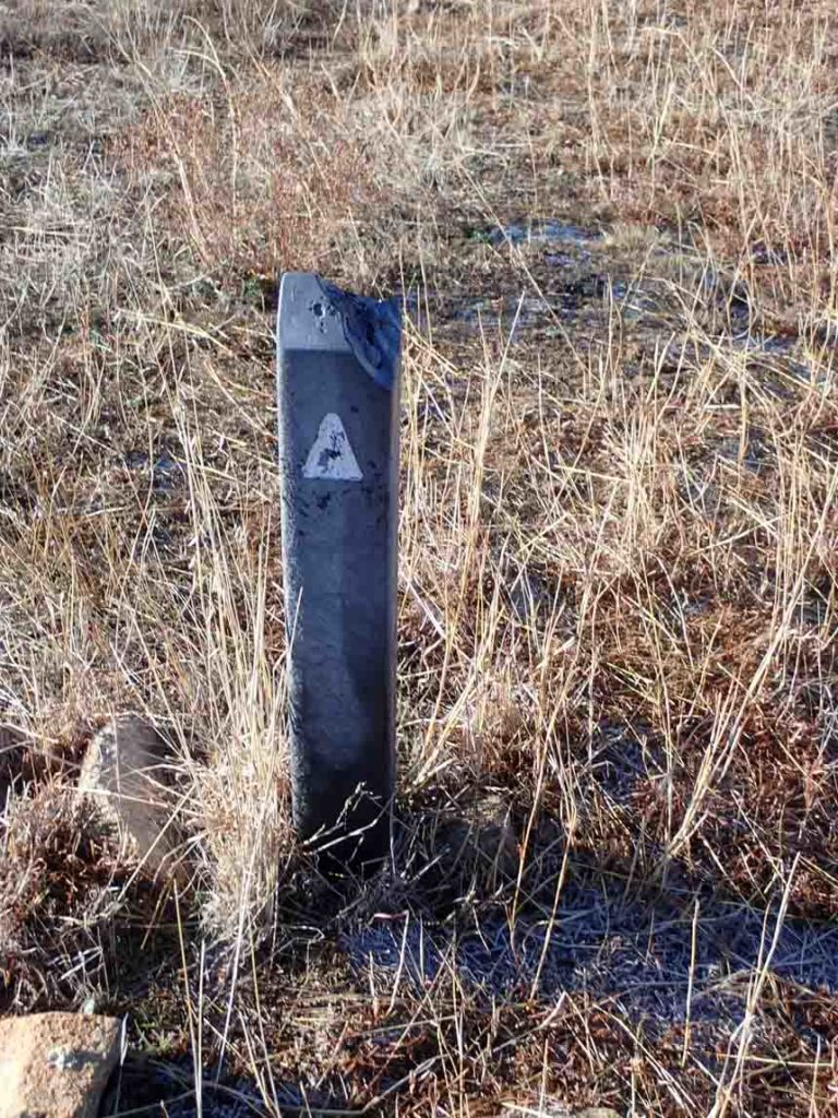
Trail markers are basic but you get the point. There is no other interpretive signage on this trail
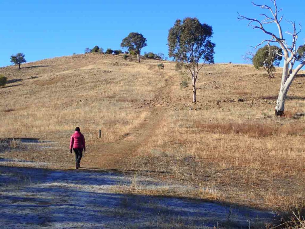
Up towards the first of two hills
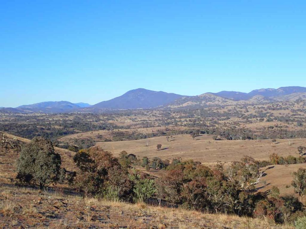
Views out to adjacent farmland and towards the Brindabella Ranges. Mount Tennent in the large mountain in this image
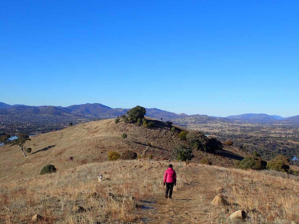
Past the top of the first hill and on towards the destination point on the next hill
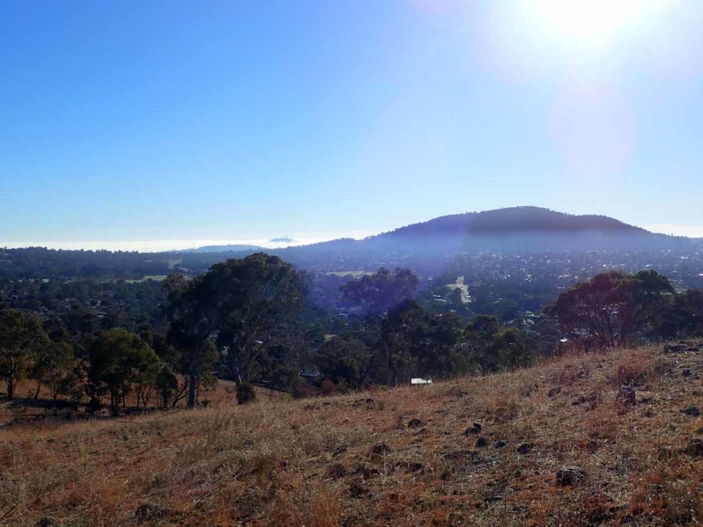
Views into the surrounding suburbs. The large hill in this image is Mount Taylor. If you look closely you can see Black Mountain with its tower to the left
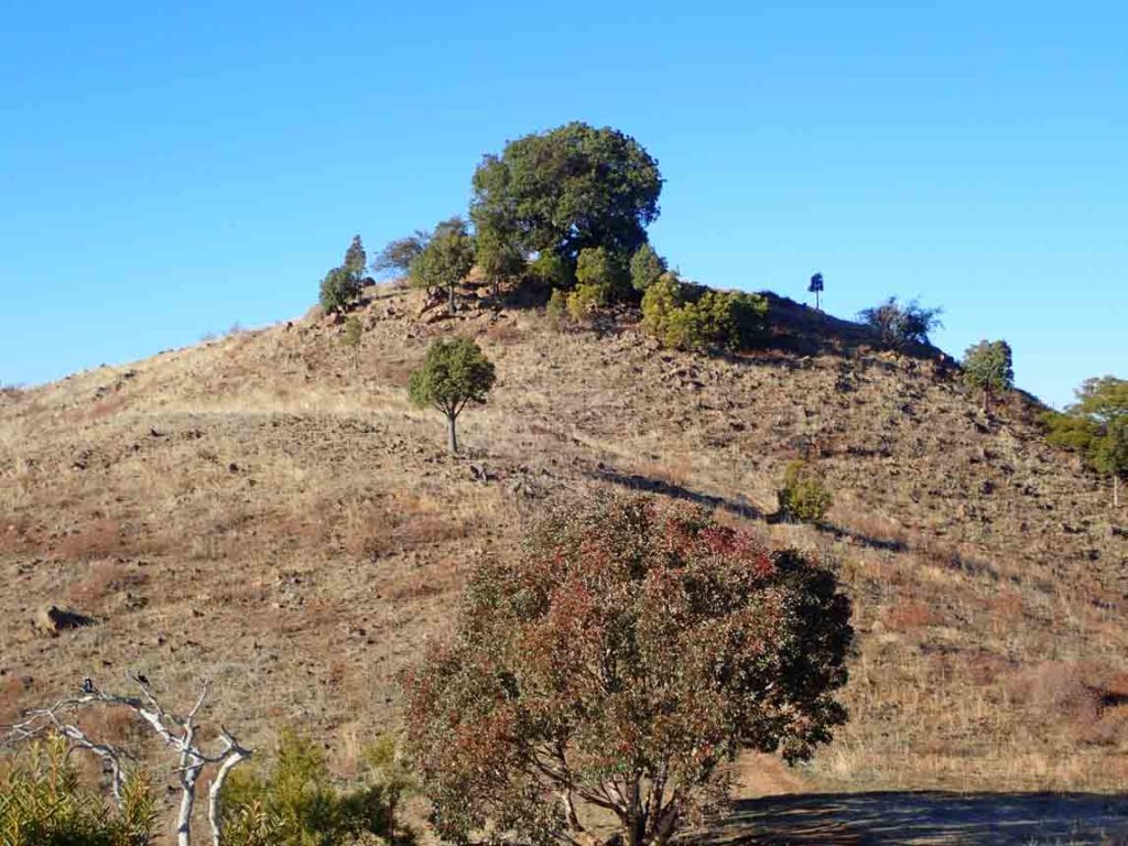
The main summit is at the top of this hill behind the trees
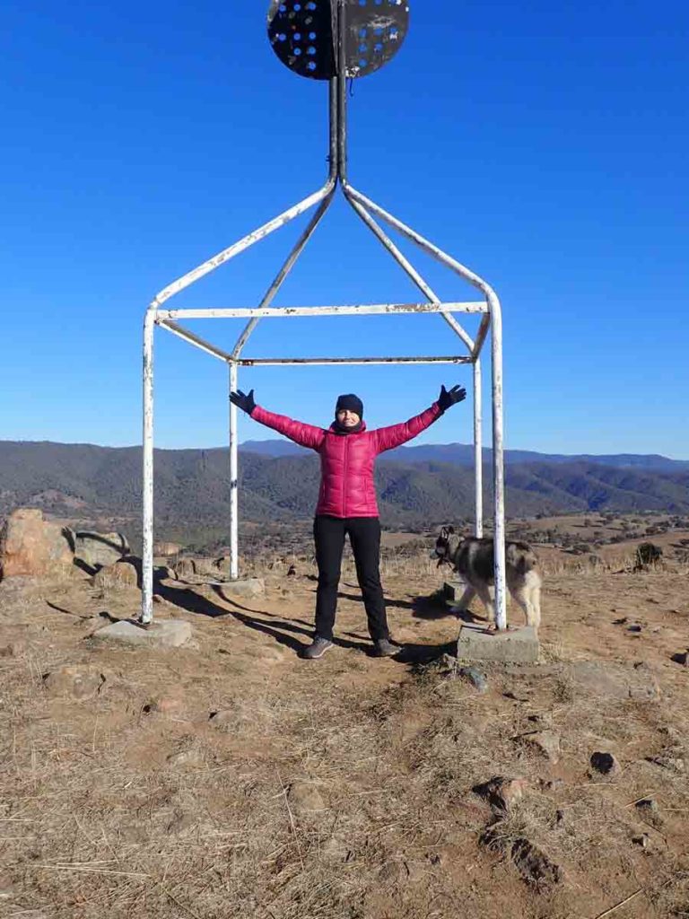
The destination point at the TRIG Station. No the dog is not ours but was an escapee. We called the owner who came to retrieve it.
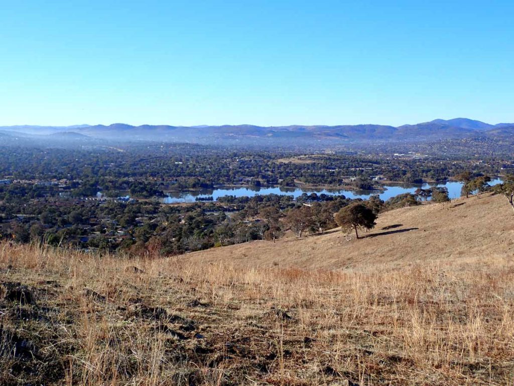
Urambi Hills view down towards Lake Tuggernong
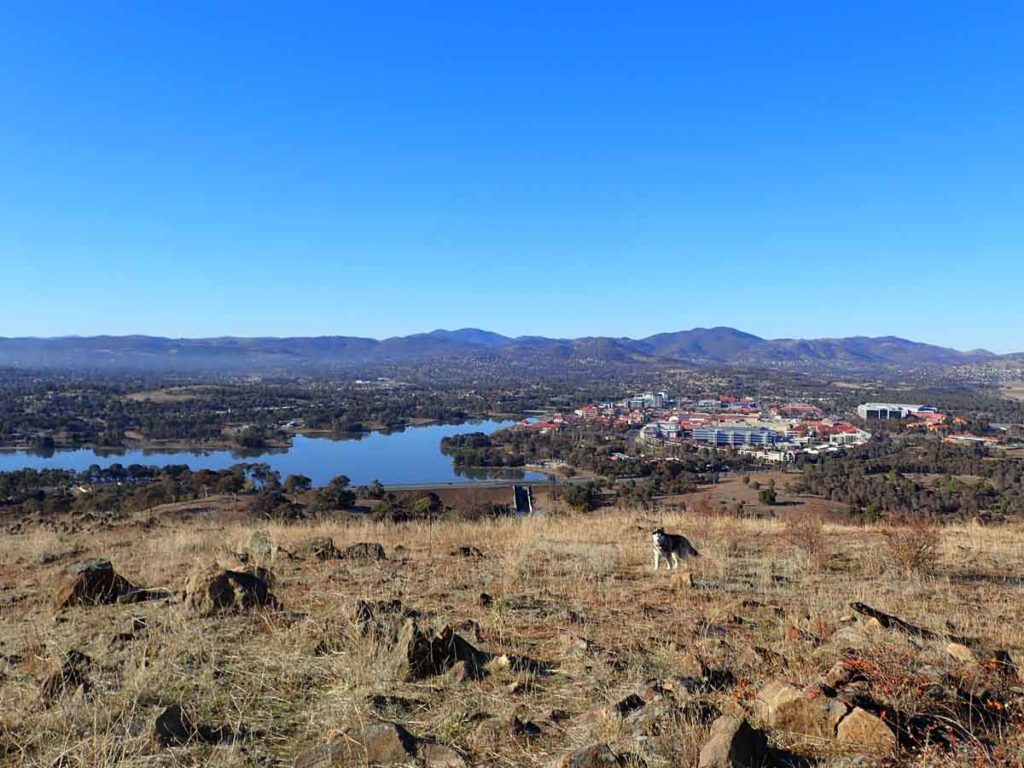
Urambi Hills views towards Lake Tuggernanong and the adjacent town centre
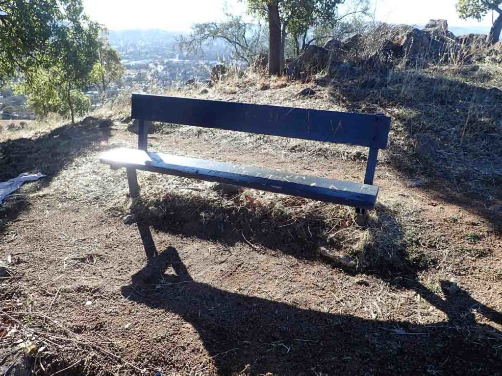
Seat located at the main summit
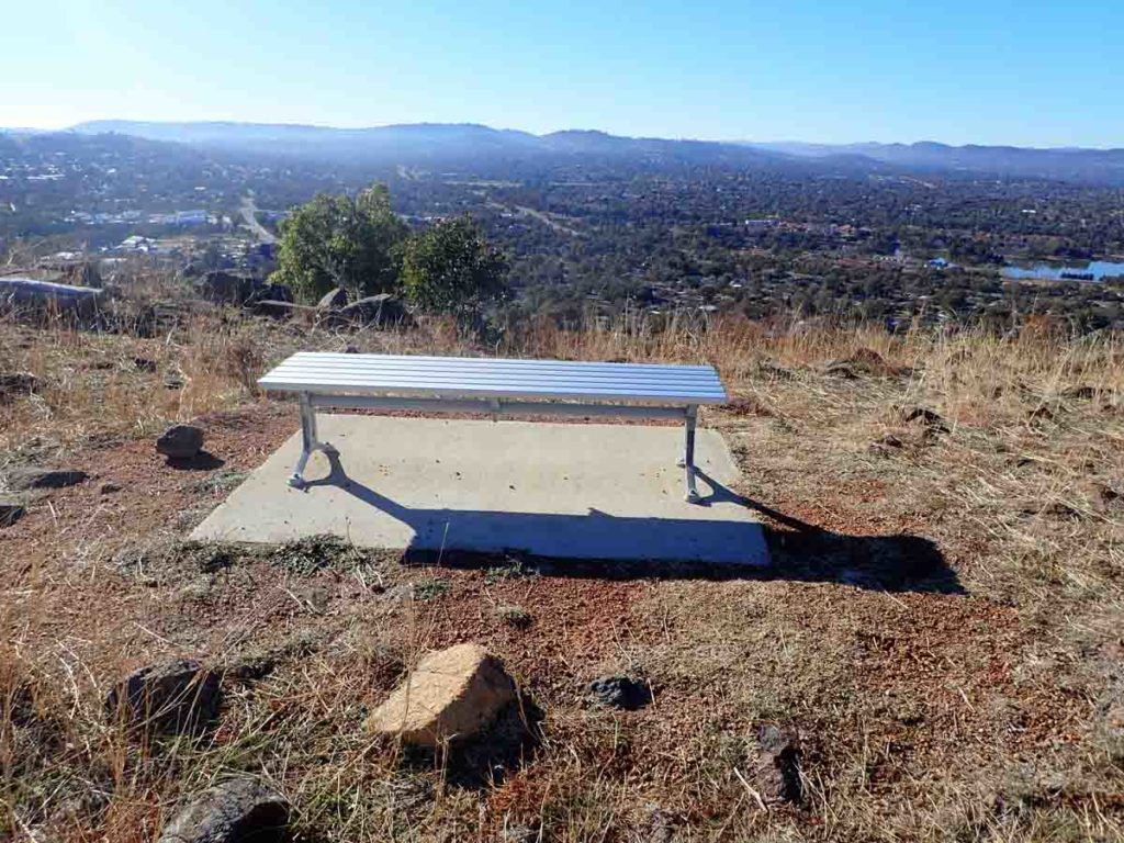
Seat located at the lower summit on the first hill. We visited the top of this hill on the way back
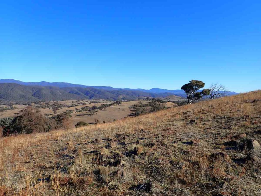
Another view as we head down
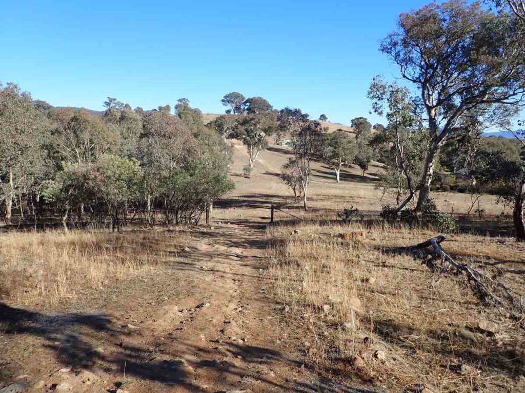
Heading back to the car
Getting There
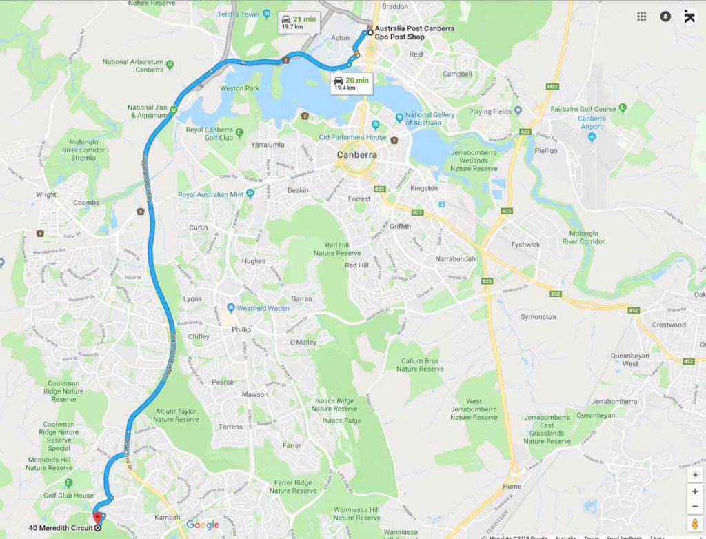
Google Map to the trail head for Urambi Hills Walk from the Canberra GPO which is about 20km:
- This walk is located on the southwestern edge of the Australian Capital Territory. The car park is located just off Meredith Circuit in the suburb of Kambah

Parking area and trail head along Meredith Circuit in Kambah at around house number 40
Things to Know
- Phone: There is good phone signal on this trail (All networks)
- Water: You need to bring your own water
- Toilets: There are no toilets on this trail
- Trail: This walk is on a combination of dirt management road/trail and bitumen surface
- Dogs: Dogs allowed on leash
- Camping: No camping is allowed on this trail
- Other:
- Bring adequate shade (hat, long sleeves etc) in the hotter months
- This trail is walkable year round
- This trail can be done from Learmonth Drive down towards the lake end as is meets with Athlon Drive. However the Meredith Circuit starting point is the best option for views
Alternate starting point which is located just off Learmonth Drive at the lake end
Disclaimer
This walk was undertaken by the team from Australian Hiker