Murramarang Aboriginal Area Walking Track NSW (3.7km)
NSW
Nearest Town
The trail head for this walk is actually closer to the town of Ulladullla (27km to the north) however Batemans Bay is the closet town if traveling from Canberra
Best Time of the Year to Travel
Year round
Starting Location
Trail head car park along Murramarang Road, Bawley Point (adjacent to Block #285)
Finish Location
Trail head car park along Murramarang Road, Bawley Point (adjacent to Block #285)
Murramarang Aboriginal Area Walking Track Review
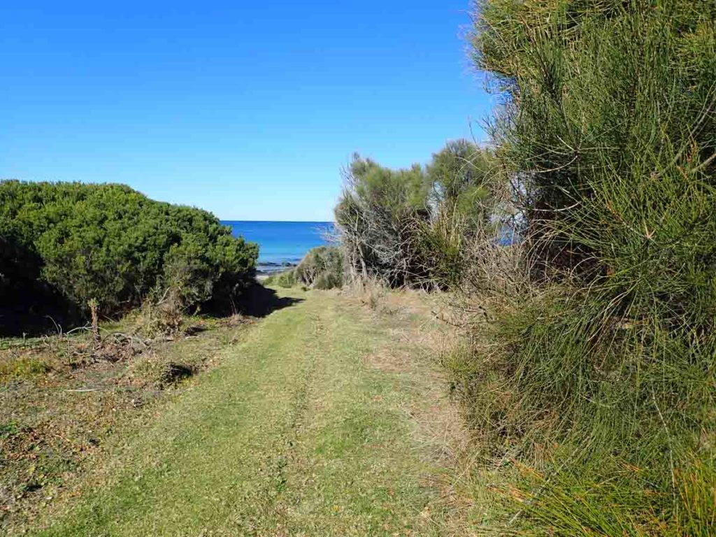
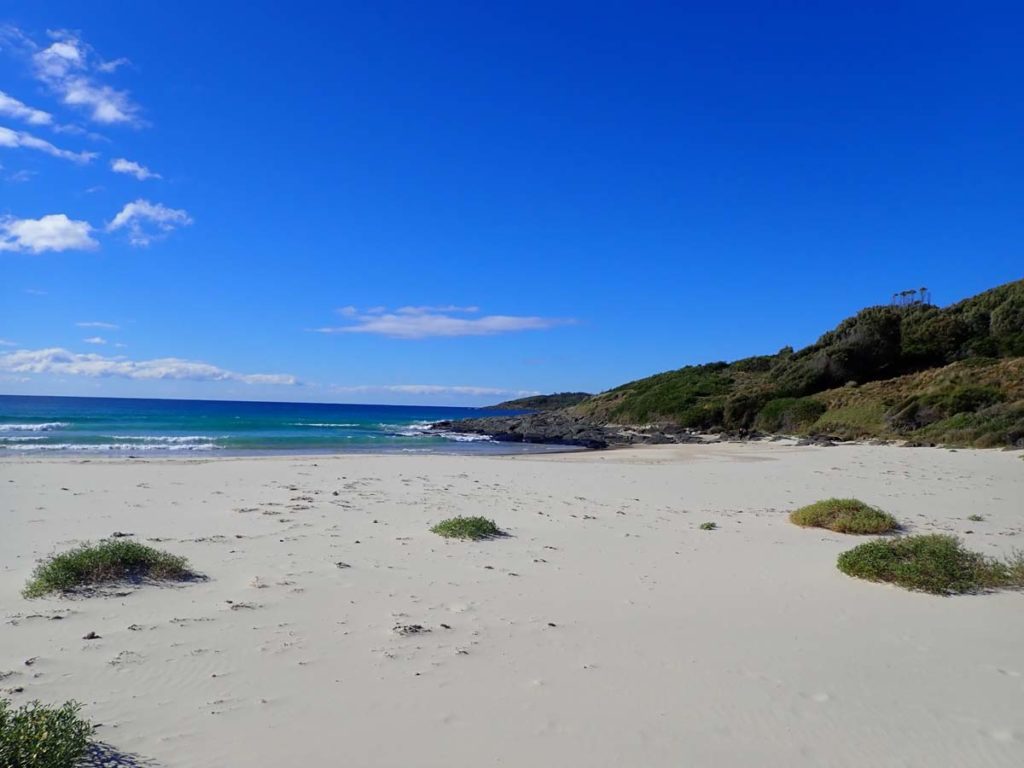
This walk is a relatively easy walk on the south coast of NSW on the Bawley Point Headland. I love bush walks that are adjacent to the ocean as it provides the best of both worlds with ocean and bush views providing three opportunities to head down to the beach for a swim.
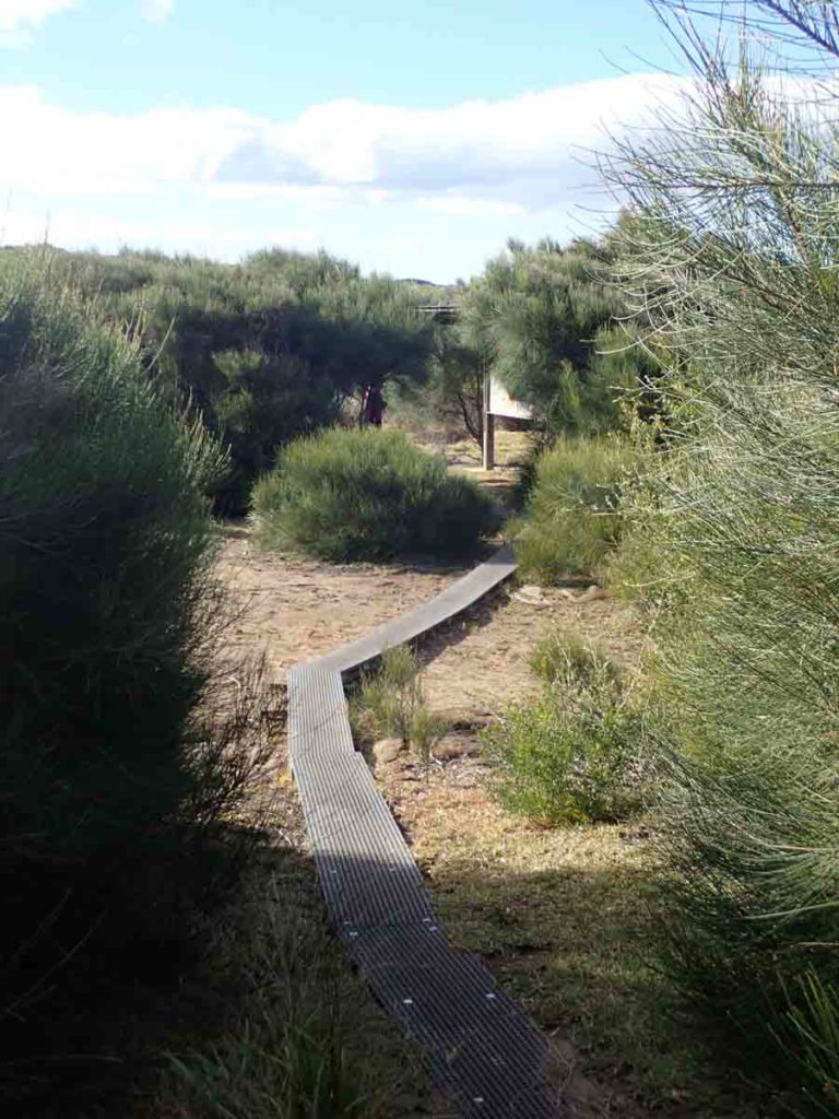
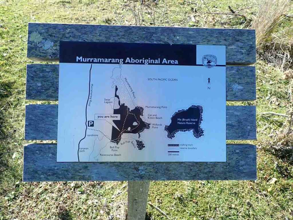
While this walk shows up in the NSW parks website as being around 2km this doesn’t factor in the walk to the actual trail head from the carpark. All up the distance is 3.7km which is still an easy walk. Park your car and head to the right hand corner of the car park along a poorly identified trail down the the beach. Once you get to the beach turn left before going onto the sand and you will come across some trail markers and signage that will will take you to the formal start of the walk. Head down a small metal mesh boardwalk to a largish interpretation centre that provides detailed information on when the local Indigenous population used to live in this area.
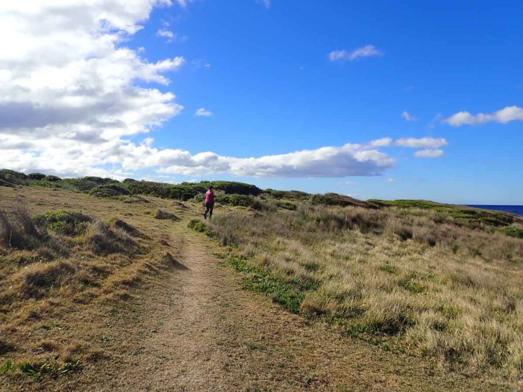
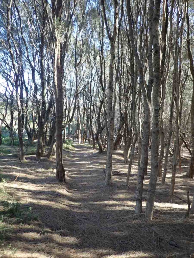
Head off on the well worn sandy trail and follow the marker arrows as you go. The default direction for this walk is anti clockwise and as you walk you will come across a number of small raised platforms or ‘U’ shaped seating areas that have additional interpretation signage.
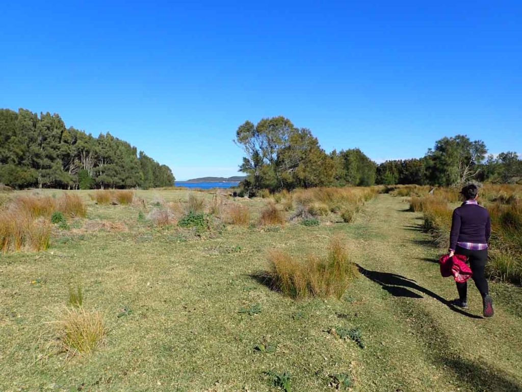
This trail has a slight slope to it but overall its a pretty easy walk though coastal scrubland that provides frequent views to the nearby ocean on the east and to the adjacent mountains to the west including one of the regions best known bush walks Pigeon House Mountain. If you have a pair of swimmers with you you can access the beach just as you come down from the car park, shortly after the trail head signage, and just as you start heading back to the carpark on the return leg. This walk has a large number of Kangaroos scattered in the grassy areas just of the trail.
One warning here is that this part of the coast is ‘tick central’ so wear long pants and socks, and a long-sleeved top when doing this walk in the hotter moths of the year. Having said that this is a great family walk that is relatively easy and if the weather is warm enough bring a lunch and swim gear to take advantage of the excellent beaches adjacent to this walk and make a day of it.
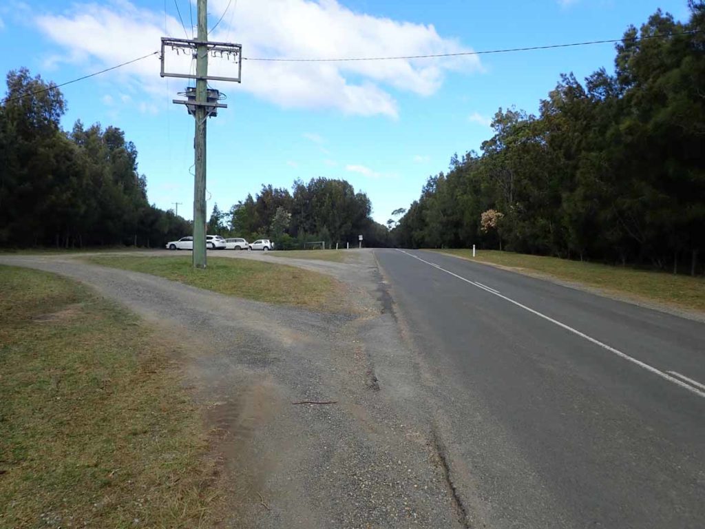
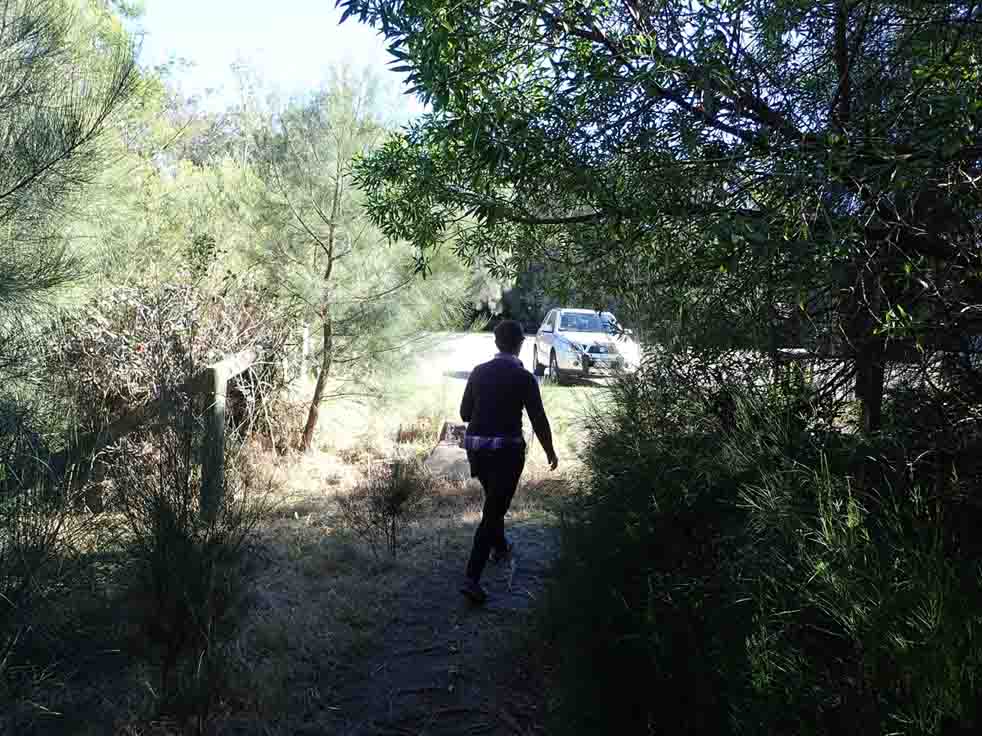
The start of the walk is in the right hand corner of the car park and is a bit overgrown
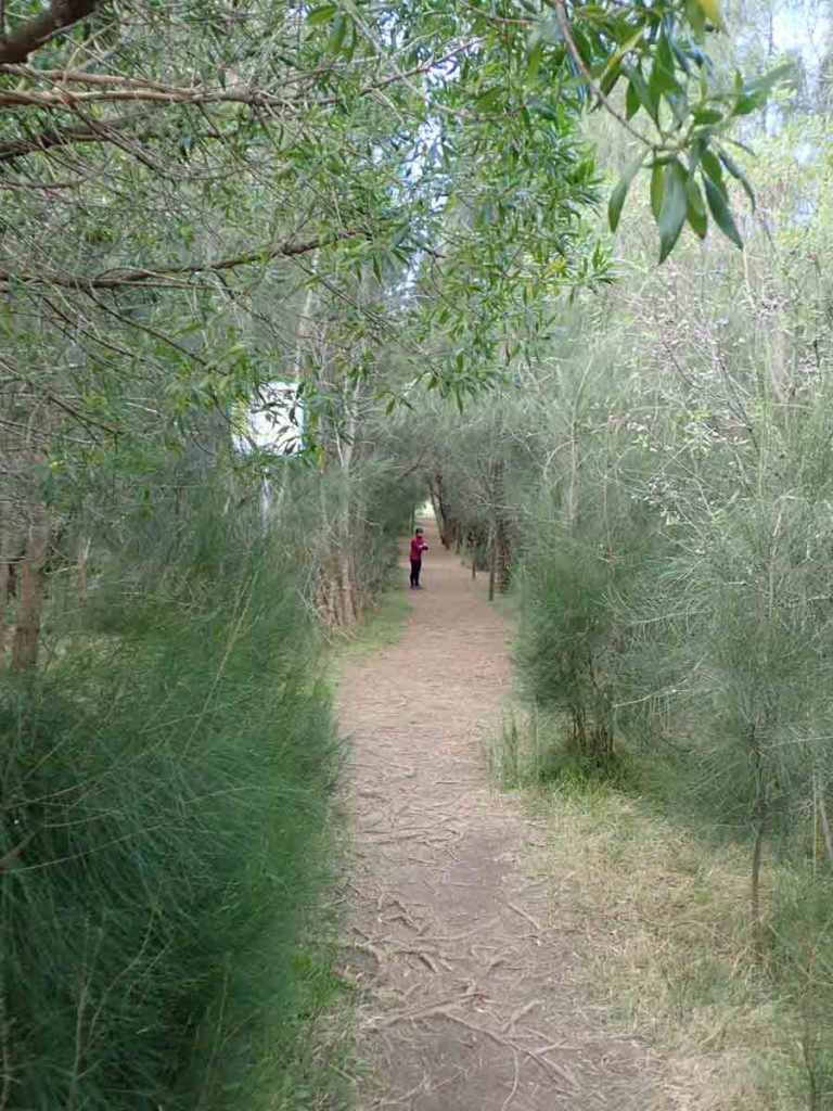
The first part of the walk to the beach is a bit of a green tunnel
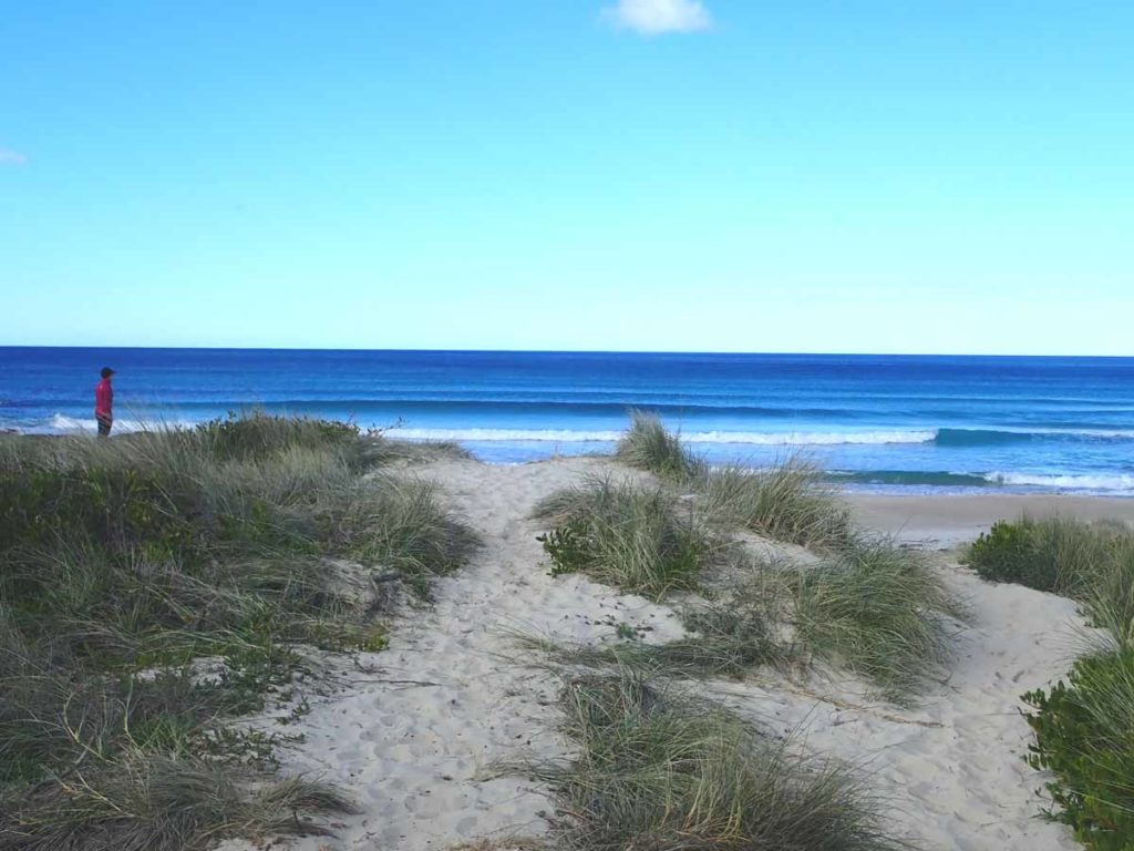
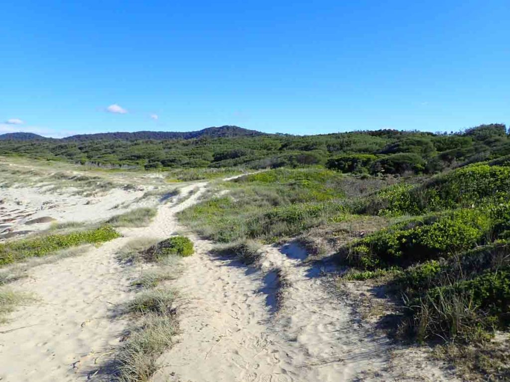
Great day for a swim. Your first access point to the beach
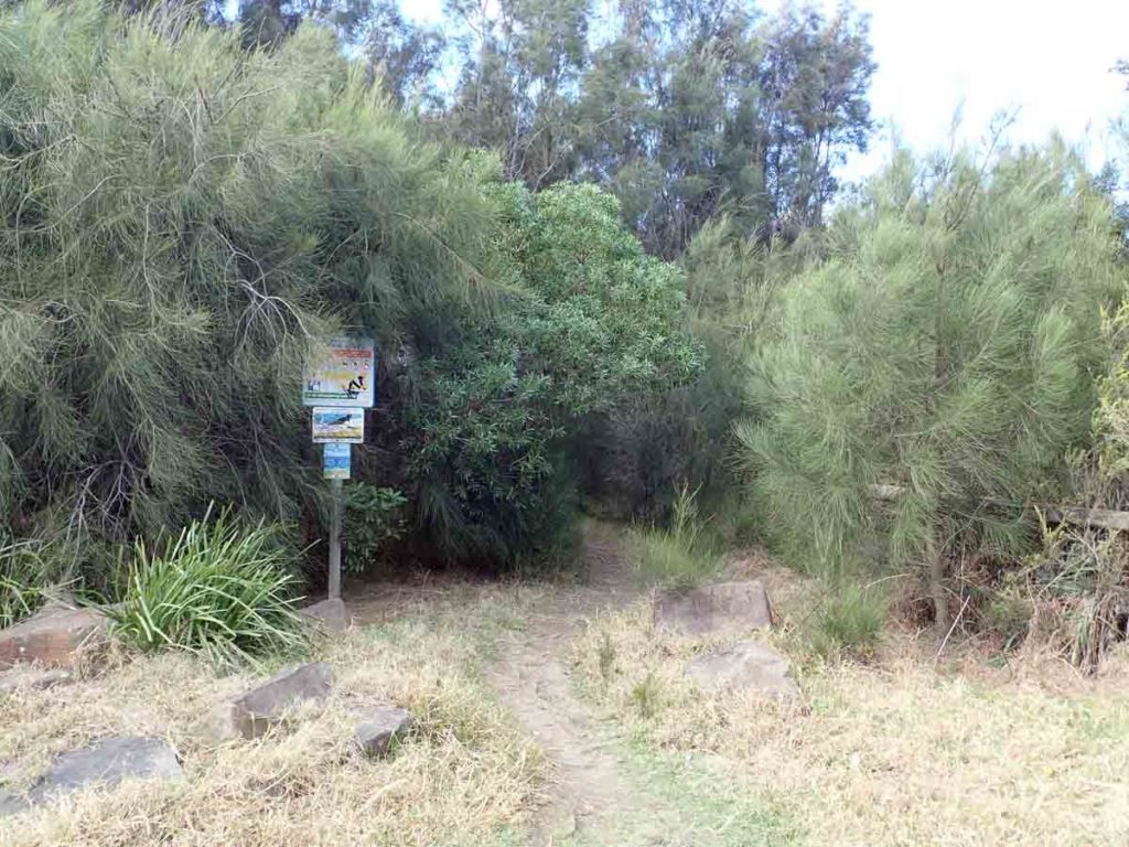
Just before to go onto the beach proper turn left to head to the formal start of this walk
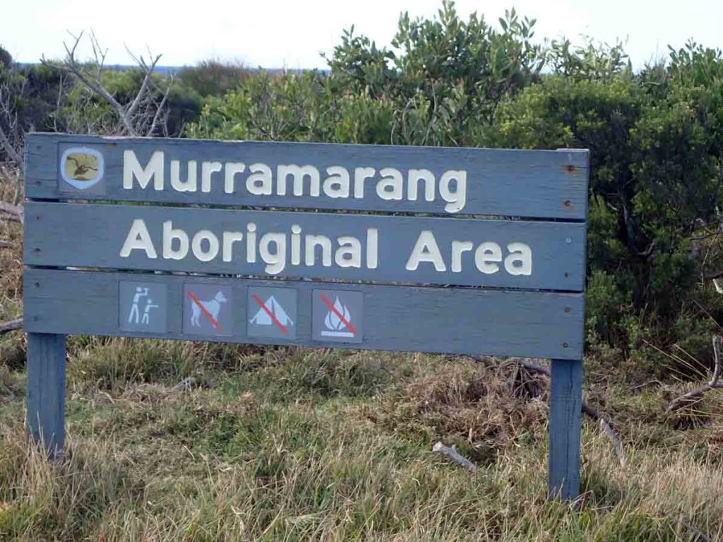
Walk past the area sign
The formal start of the track
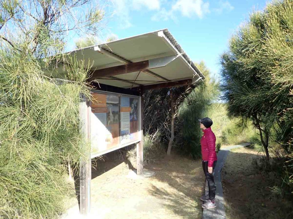
Formal trail head with a large set of interpretation signage
A second access point to the beach just past the trail head
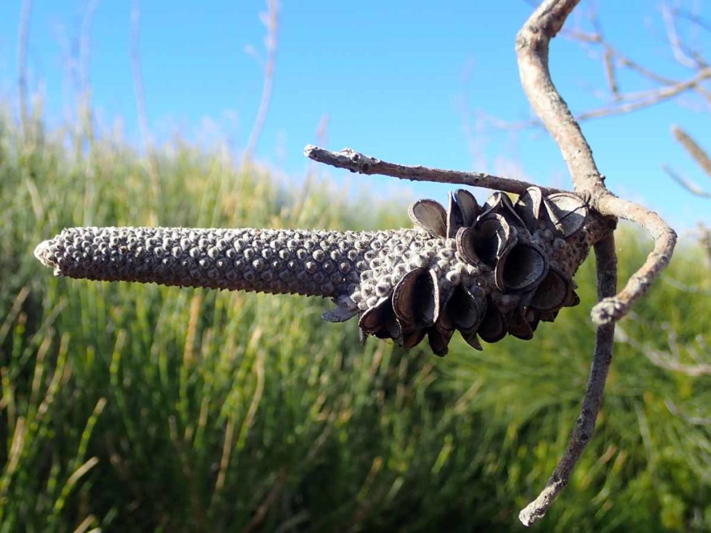
Spent Banksia seed head
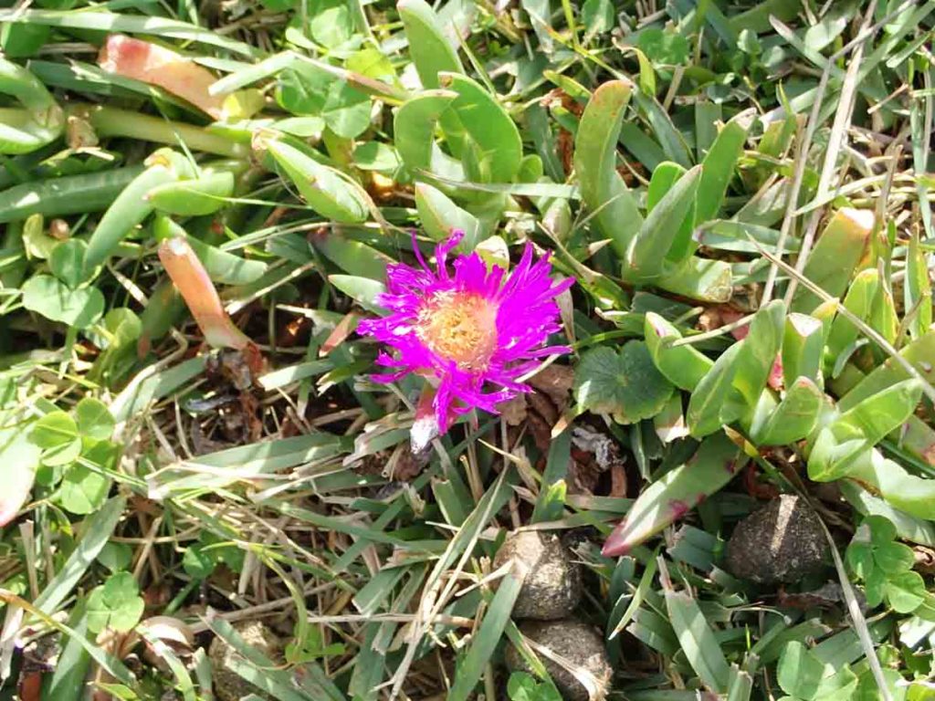
Pretty in pink
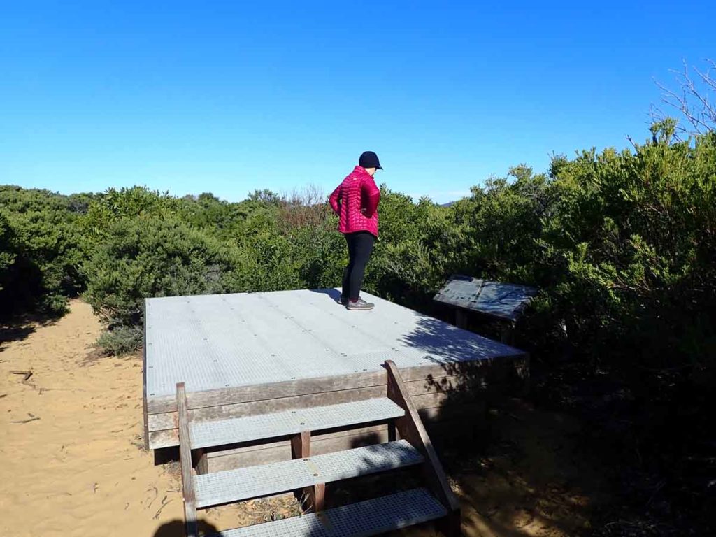
Raised platforms to improve the view
Signage along the trail
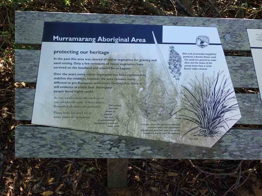
Signage along the trail
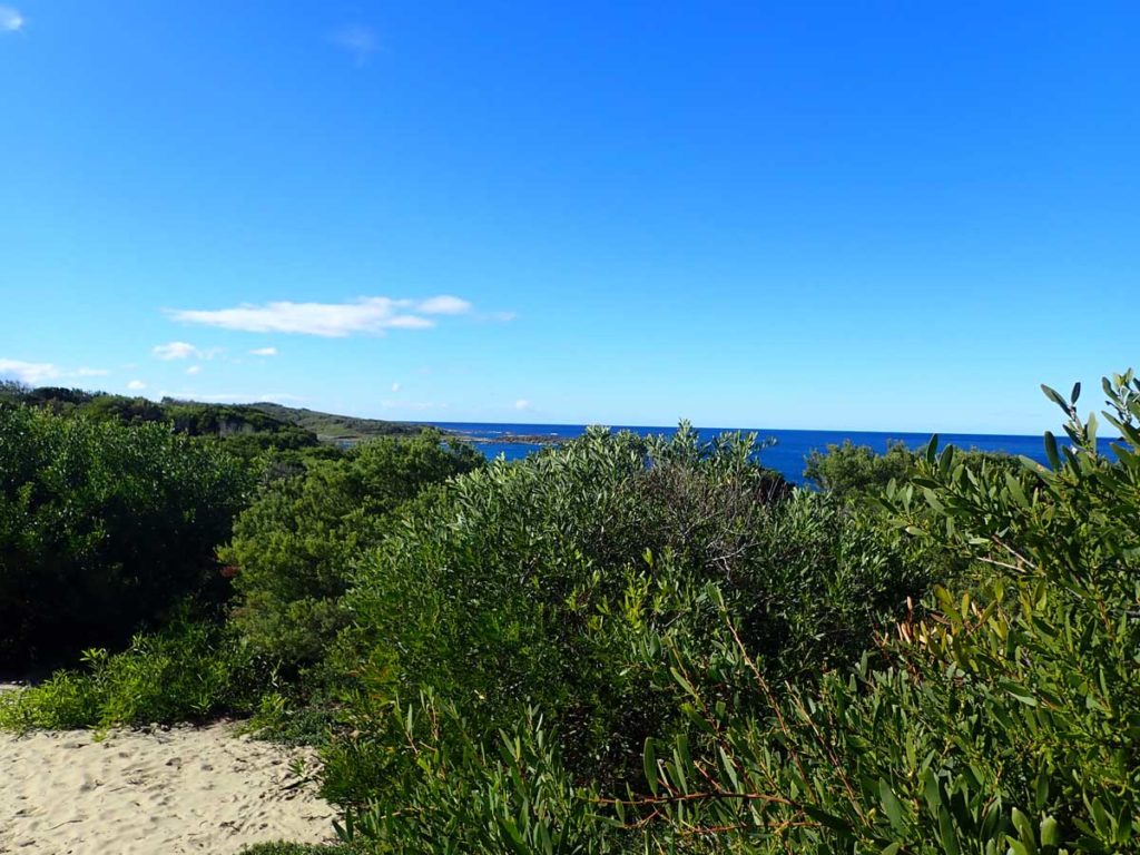
Bush and ocean together, my favourite
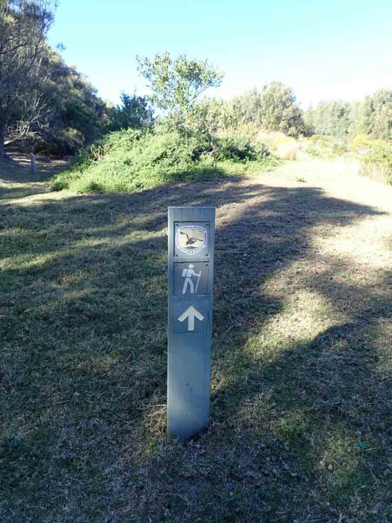
Follow the trail markers
On the trail just before the turn back point
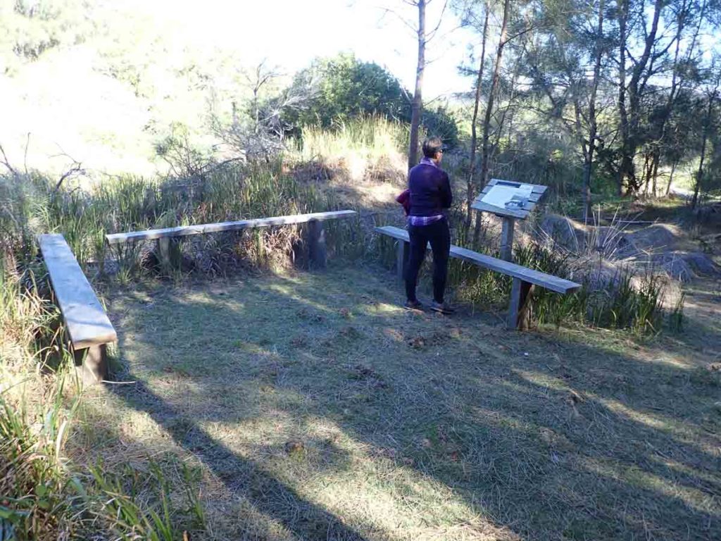
‘U’ shaped seating and signage area
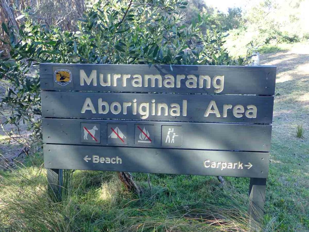
Left to the car park right to the beach
Beach on the north side of the headland with Brush Island in the background
Heading back to the car park
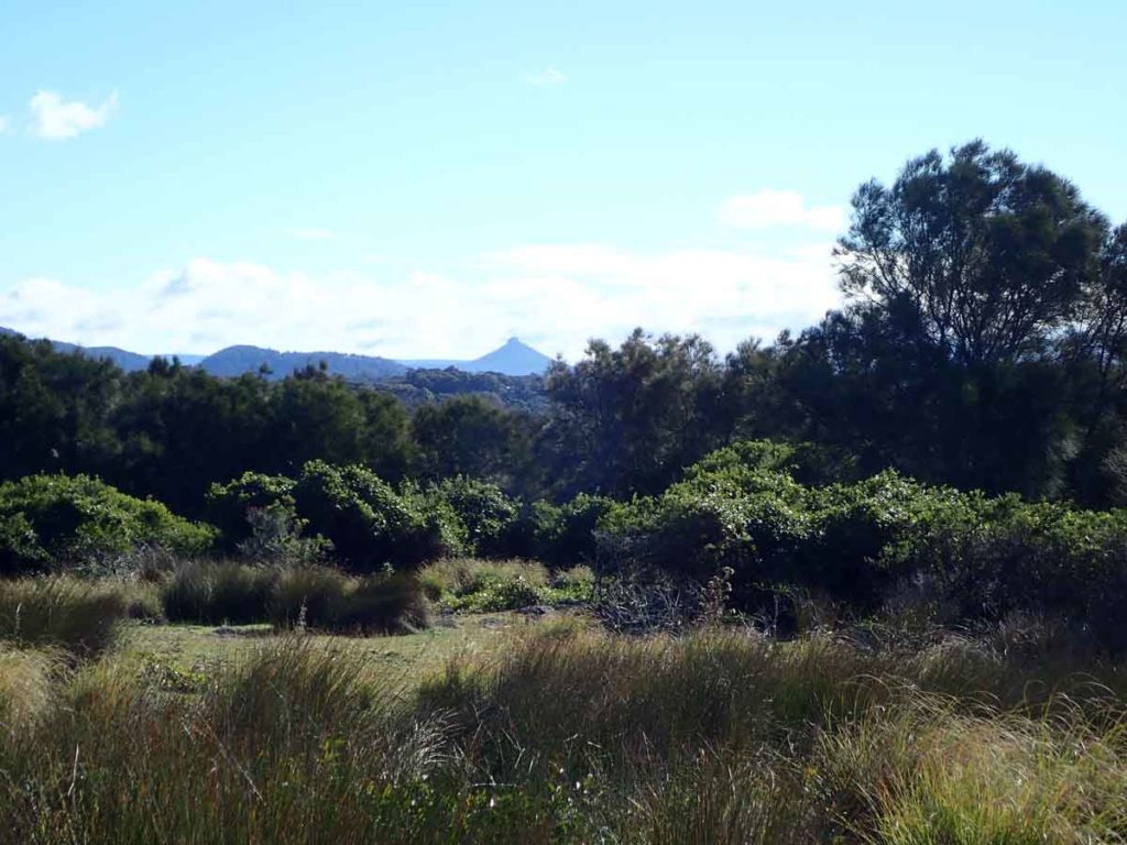
The distinctive Pigeon House Mountain in the distance
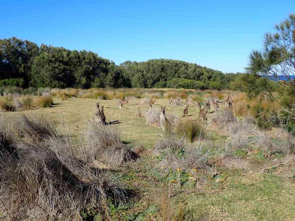
Just a few Kangaroos
Heading back to the car park
Walk done!
Getting There
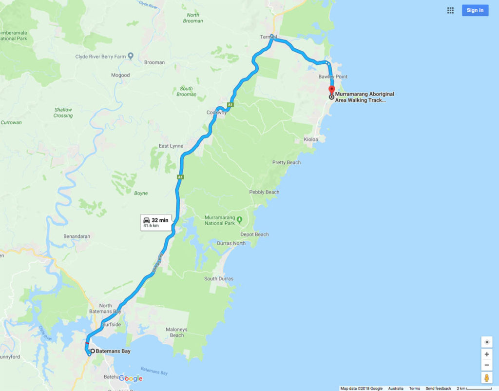
Google Map to the trail head from Batemans Bay. The Drive from the turn off at the bottom of the Clyde Mountain to the trail head car park is around 42km and 32 minutes away
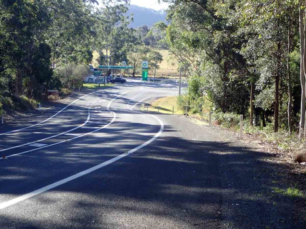
Turn of to the right at the BP service station (Termeil)
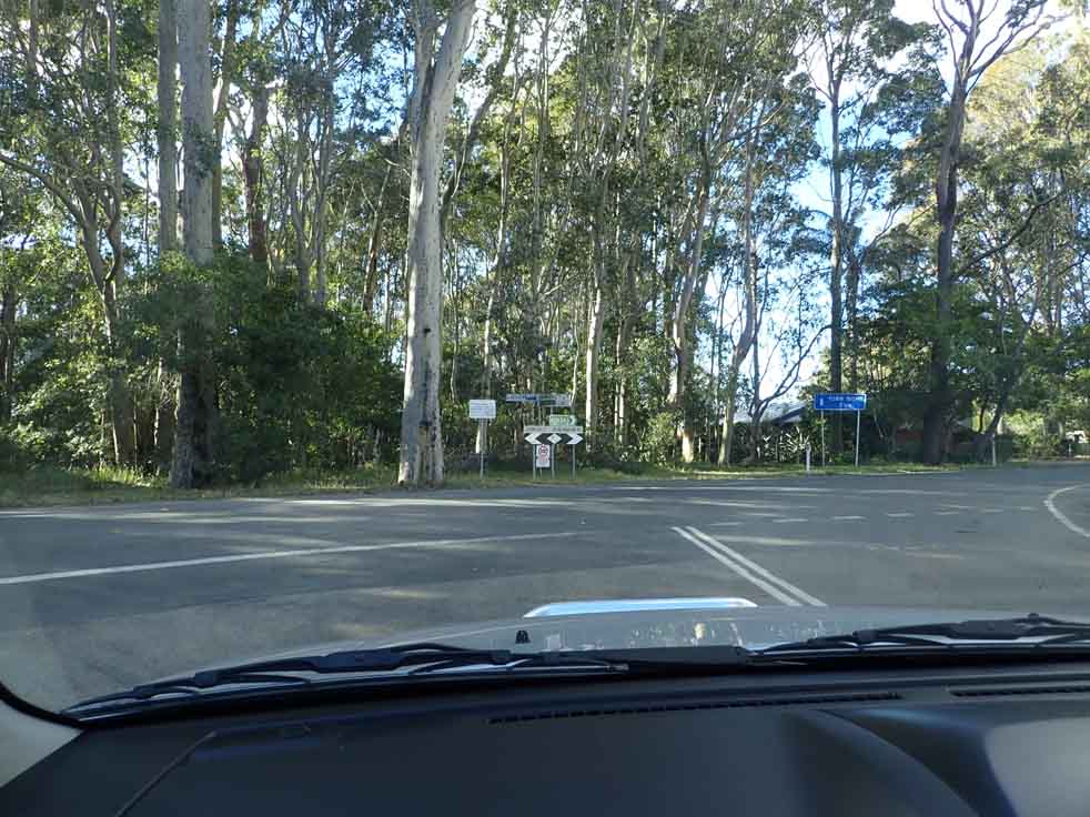
Turn right at the T junction. This turn off is about 5.5km from the highway
Trail head car park along Murramarang Road, Bawley Point (adjacent to Block #285). this car park is about 3km for the ‘T’ junction turnoff
Things to Know
- There are no toilets
- You should bring your own water
- This trail is walkable year round
- The mobile phone coverage is excellent on this trail
- Dogs are not allowed on this walk
- Dress for Ticks during the warmer months of the year
Disclaimer
This walk was undertaken by the team from Australian Hiker