Tuggeranong Hill Summit Track ACT (3.0km)
Canberra Nature Reserve
Nearest Town
The closest suburb to the trailhead is Theodore, ACT
Starting Location
There are a few different locations where you can start this walk from if you live in the surrounding suburbs but if you are travelling to this walk by car then the Callister Crescent car park is the one to use. Please note that the fact sheet on the official government website says ‘Calliste Crescent’ and it took me about 10 minutes of searching the map to work out that this was a spelling mistake
Finish Location
Callister Crescent car park
Callister Crescent car park. This car park isn’t huge and while a popular walk on this side of town, it doesn’t attract the volumes of people y0u find on the Mount Taylor or Mount Ainslie walks
Best Time of the Year to Walk
Year round
Tuggeranong Hill Summit Track Review
I have lived in Canberra for most of my life I had never walked up Tuggeranong Hill before and now that I have, I’ve come to the conclusion this is a great little walk that I will do on a semi regular basis. The Tuggeranong Hill summit walk can be started from various suburbs around the hill and if you live nearby you just need to locate the most convenient starting point. If you are driving from to do this walk then park at the Callister Crescent car park but be warned that the car park isn’t huge and you may need to park along the street.
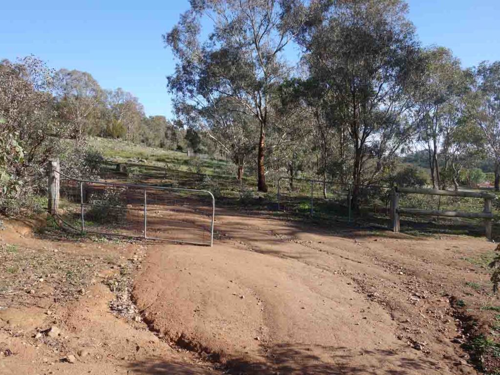
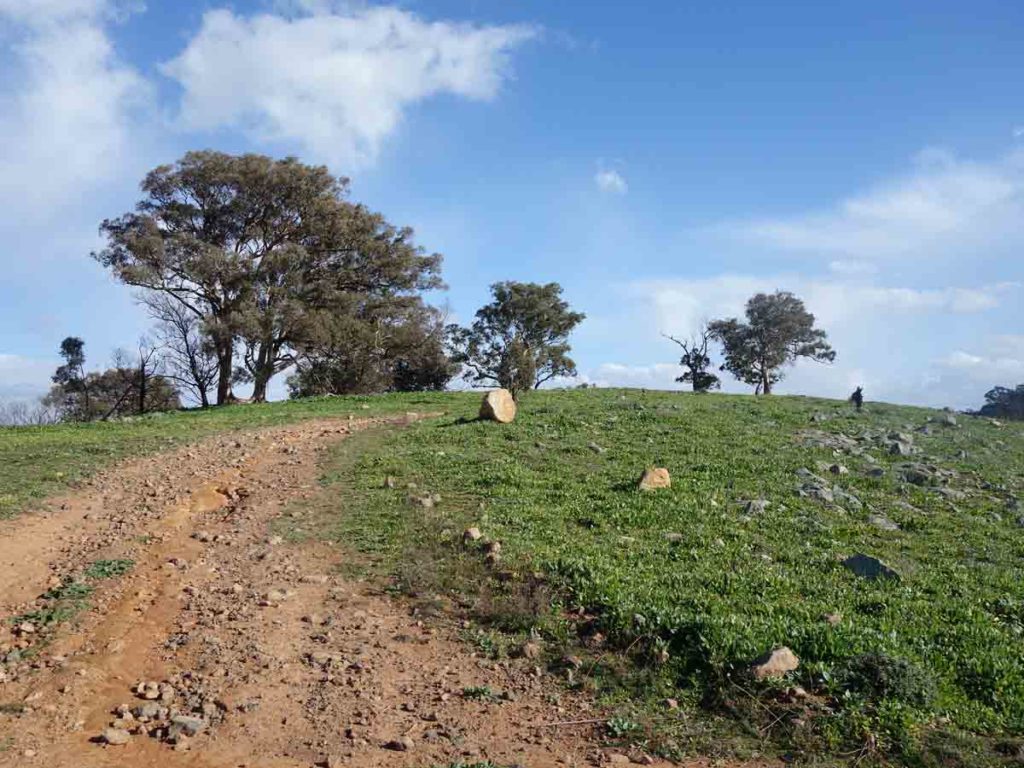
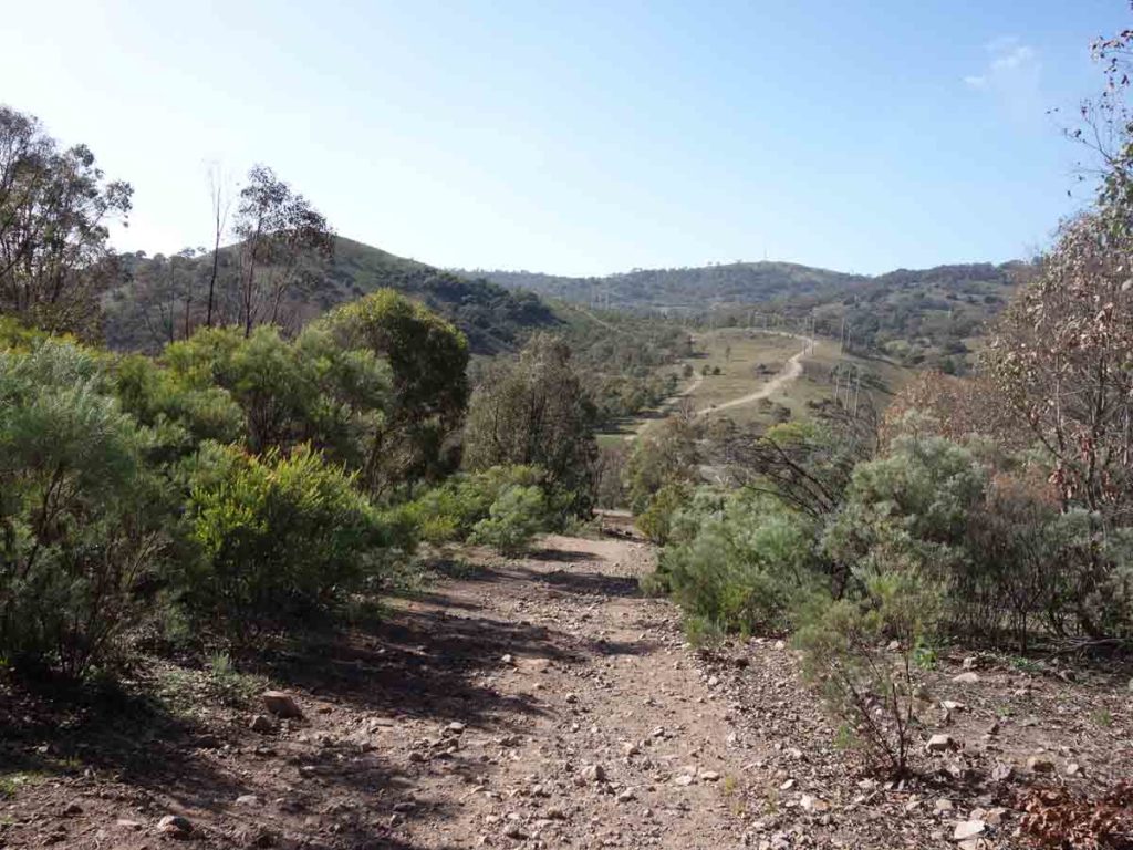
The walk to the summit is just on 1.5 km (3 km return in total) and takes you up to the summit of Tuggeranong Hill on a vehicle management road. With short exception, this walk is pretty much uphill all the way – the gradient is steep and is reasonably consistent (see graph in images below). While not an overly long trip to the summit, it is reasonably taxing compared to many other walks of similar length. In addition, the road doesn’t look like it’s heavily used and is fairly rocky. Start the walk by going through the entry gate at the end of the car park and head slightly right, over towards the electricity sub station. You will see roads going in just about every direction but the track you want is the one that takes you in a very obvious uphill direction. One thing to note here is the lack of directional signage on this track with the only information being on a small sign on the gate.
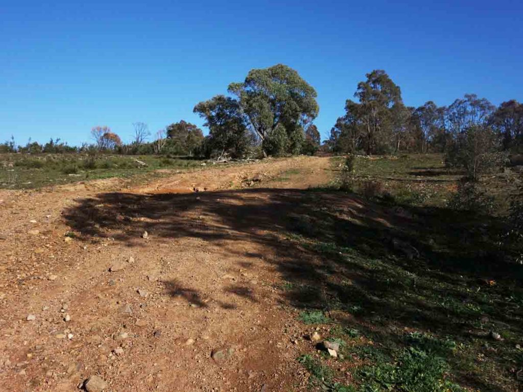
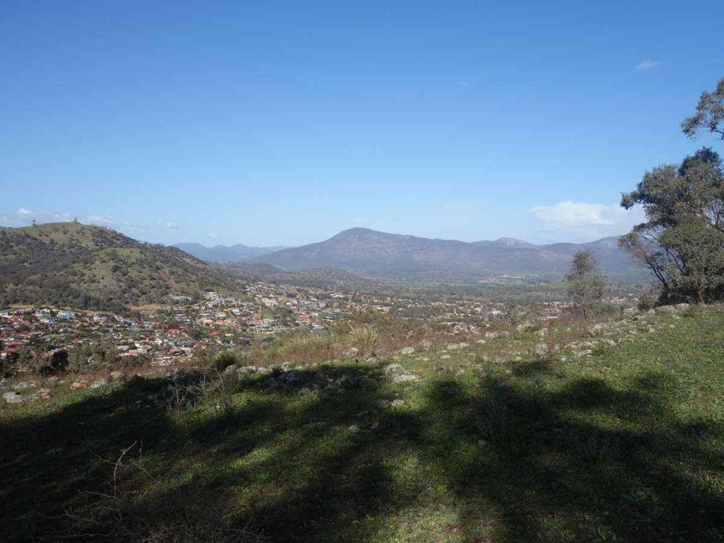
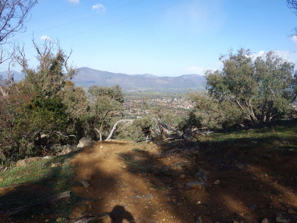
On the uphill trip you will start picking up the views about 5oo metres onwards and at the 950 metre mark you’ll reach a saddle that provides views of the bottom of Tuggeranong Valley towards Namadgi National Park on one side and down towards the Tuggeranong Town Centre and Lake Tuggeranong on the other. Once you leave this first small peak you have a short downhill section before you continue to climb up to the main summit. The first obvious feature you reach as you approach the top is the telecommunications array just below the summit itself. From the main summit you can see towards Black Mountain Tower in the city and if you know your peaks well, you can also make out Mount Ainslie and Mount Majura. You also get views to the south over the Tuggeranong Valley in various directions. The summit itself has a lot of agricultural weeds but is a pleasant enough area to just sit and take in the views – it would be a good spot for a tea break or lunch.
Wildlife on this track is minimal, we saw a lone wallaby that hopped off pretty quickly but the main feature is birdlife with lots of magpies and even a pair of eagles soaring overhead at the summit. This walk is located about 30 minutes from the centre of Canberra, has some good views and a good steady uphill climb. It just feels like a nice walk. I can see myself using this as a training walk for some long distance walks I have planned.

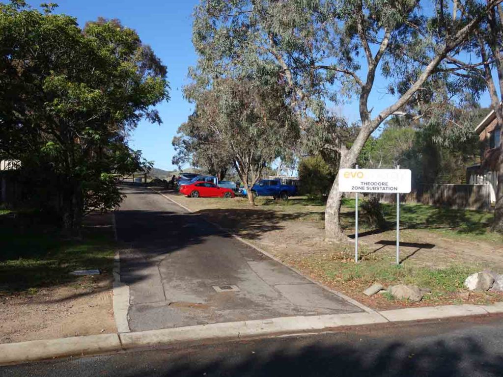
Trailhead gate on Callister Crescent. This is the main entry for this walk
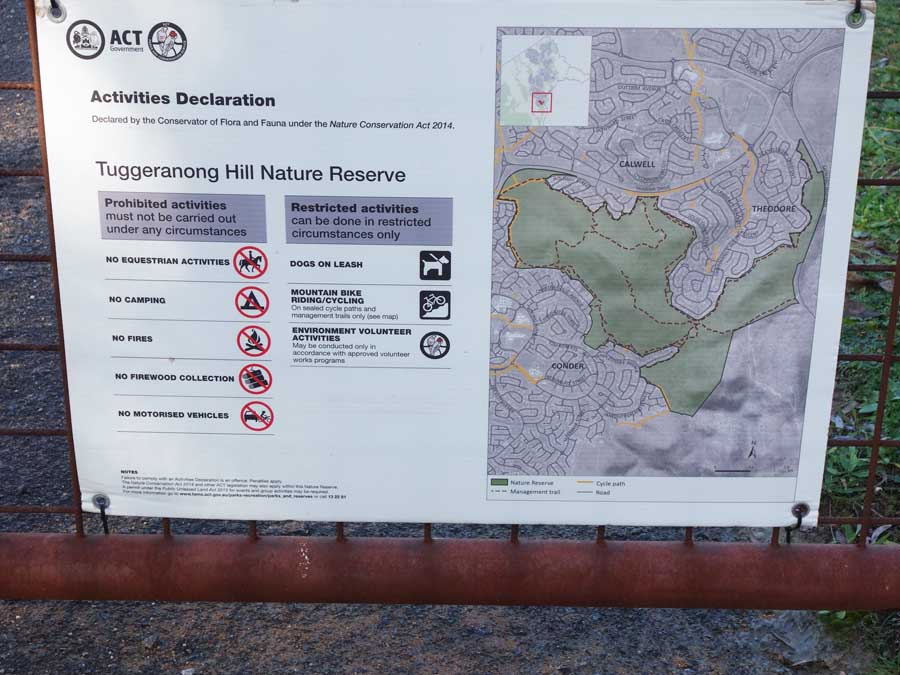
Trail information on the entry gate
What you see is what you get. There is no information about the walking tracks on this sign board
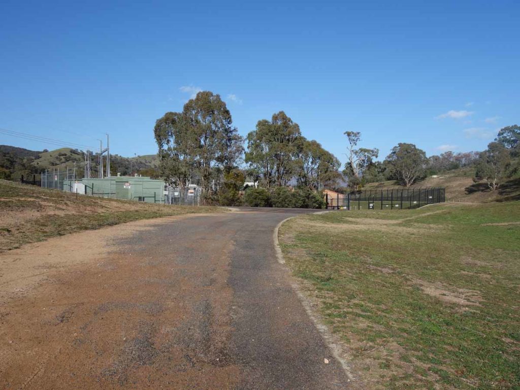
Head over towards the electricity sub station before veering right up towards the road that heads up the hill
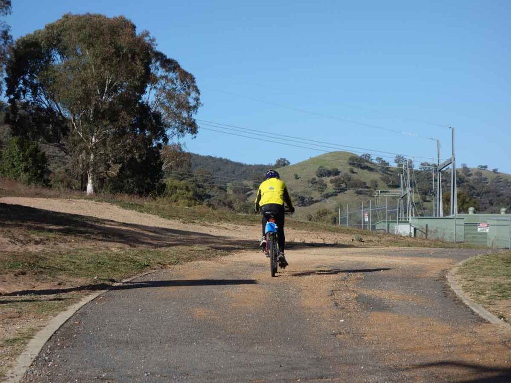
Shared track. Cyclists also use the lower trail
Head towards the gate on the summit road
Head up the road to the summit
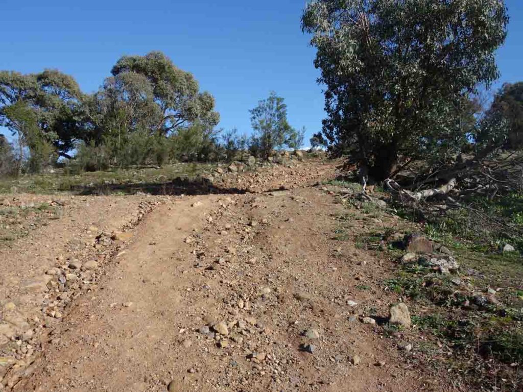
The road is on the steepish side
Looking towards Mount Tennent
The first summit is about 950 metres into the walk and provides views down over Tuggeranong Valley, and Lake Tuggeranong as well as over to Mount Tennent
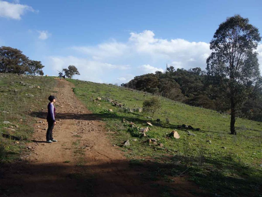
Viewing both summits
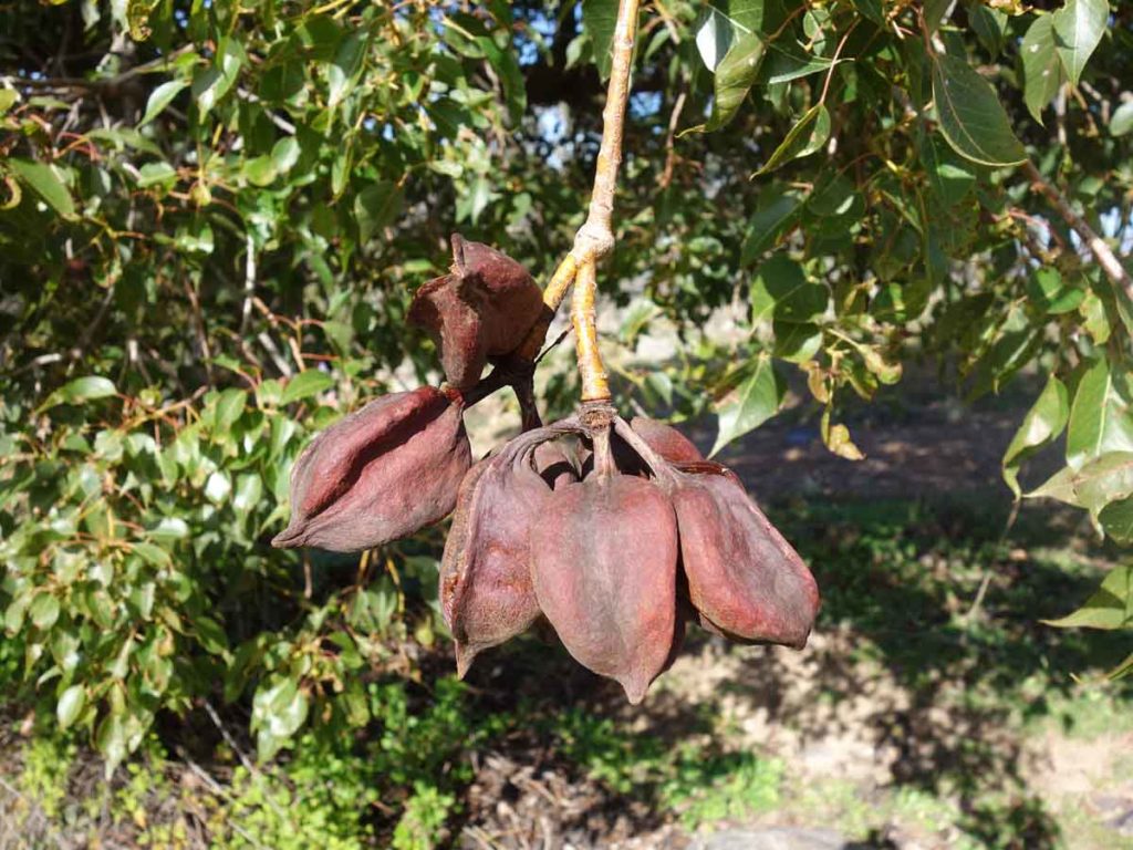
Kurrajong seed pods
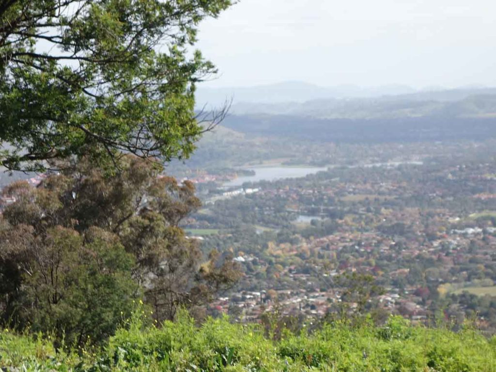
Tuggeranong Town Centre and Lake Tuggeranong viewed from the first summit
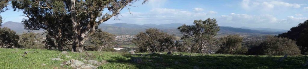
Panoramic view at the saddle
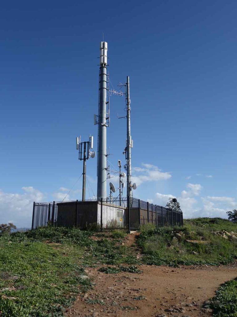
Communications towers adjacent to the summit
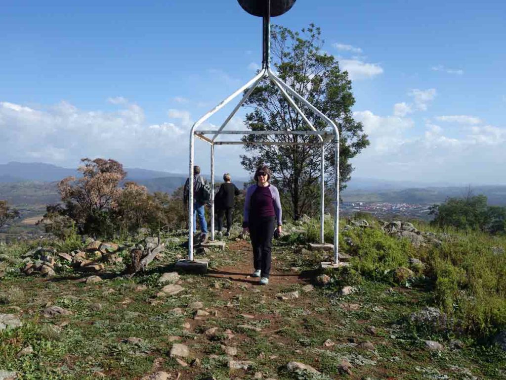
Trig station at the summit
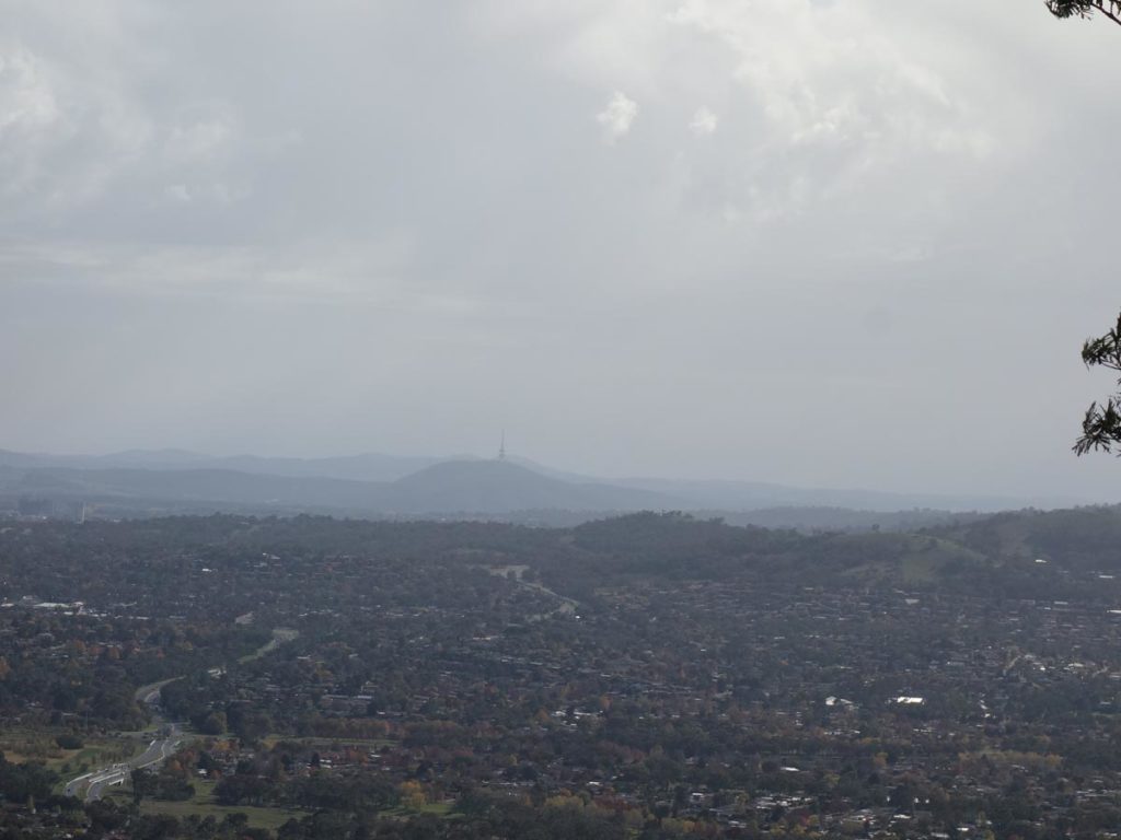
Black Mountain Tower off in the distance
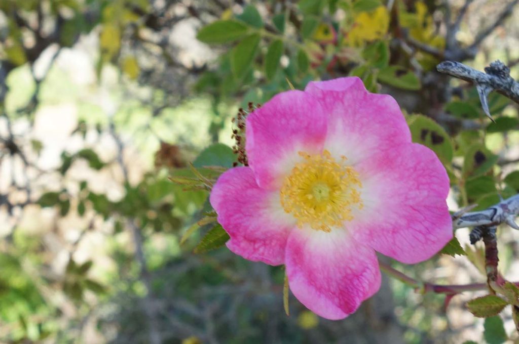
Rose bush gone wild
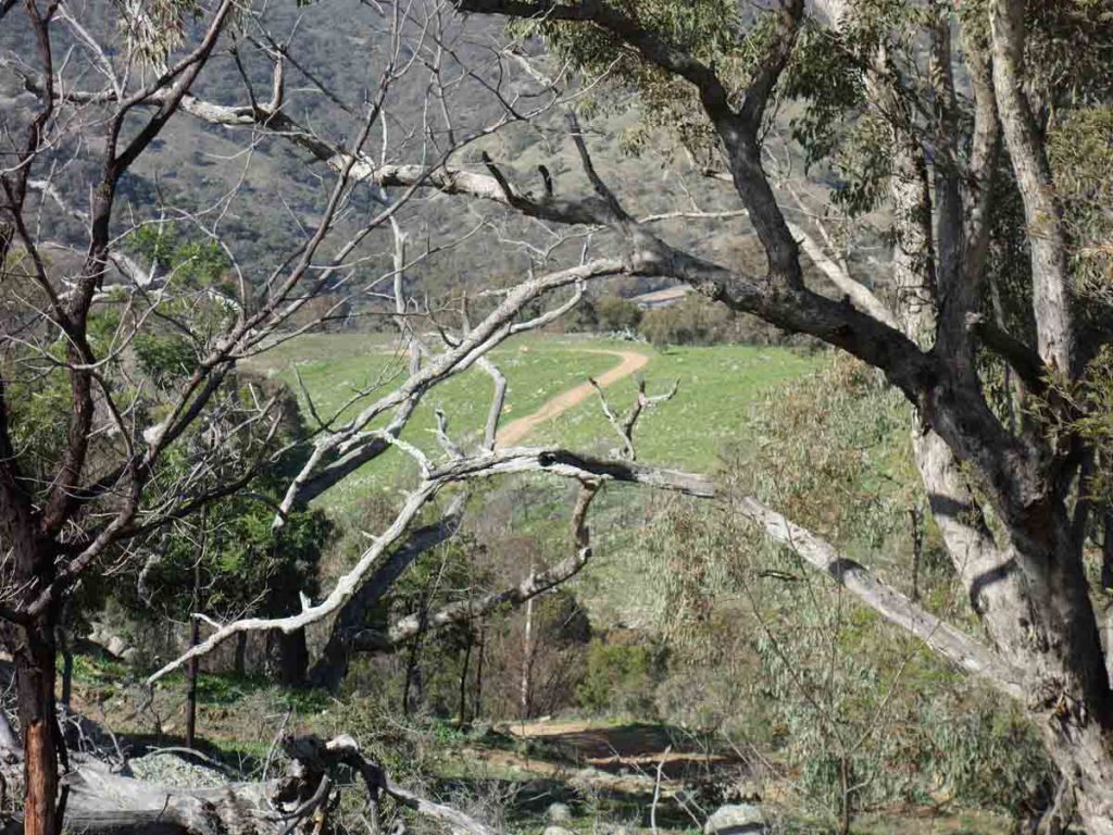
Looking down towards the lower part of the track
Heading back down
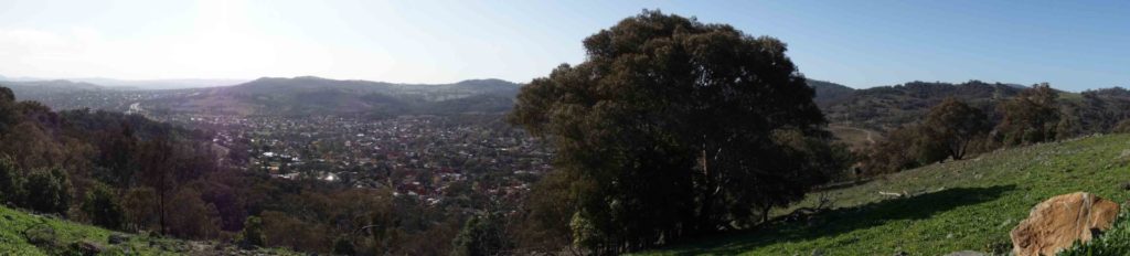
Panorama image from Tuggeranong Hill
Heading down
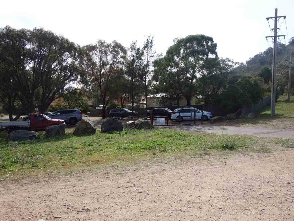
Returning to the car park
Getting There
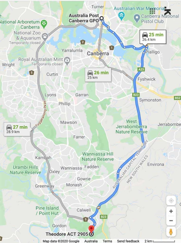
The main trailhead at Callister Crescent is around 25 km from the Canberra GPO and around a 26 minute drive
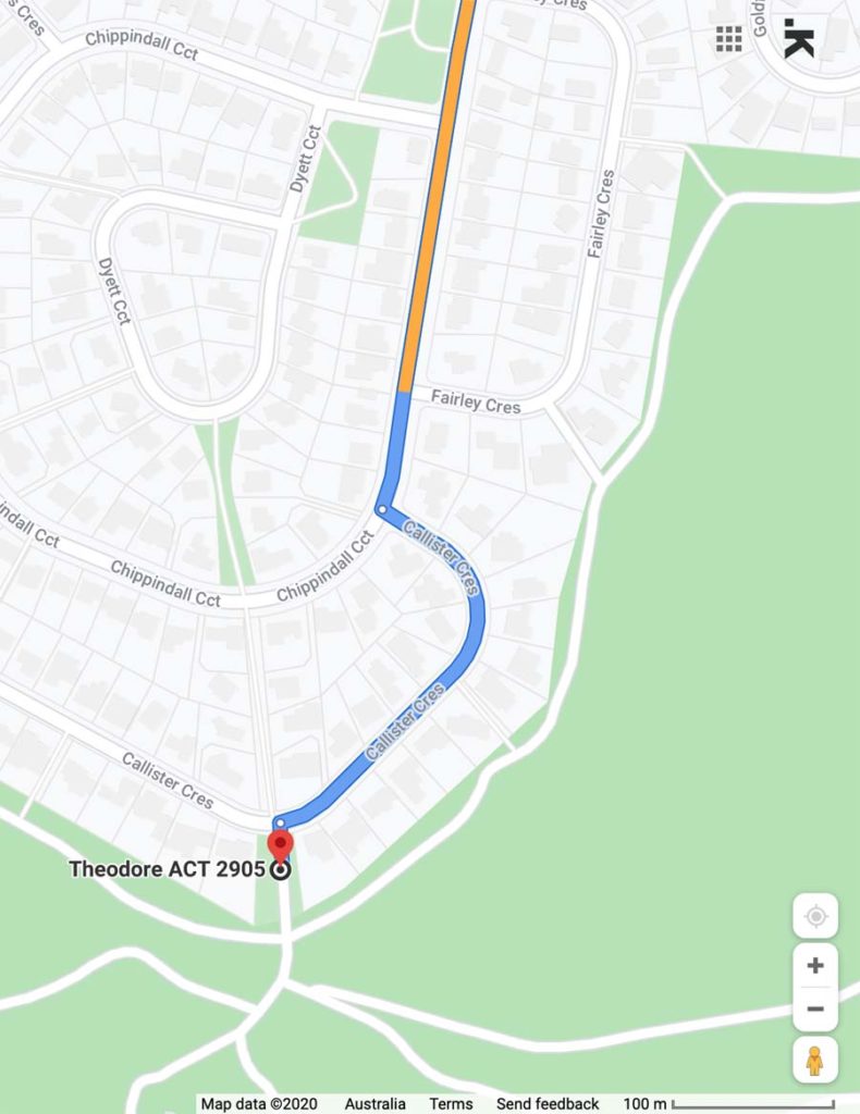
Close up of map to trailhead
Things to know
- Phone: There is good phone signal on this trail
- Water: You need to bring your own water
- Toilets: There are no toilets on this trail
- Trail: This walk is entirely on a dirt management road that is at least one car wide
- Dogs: No dogs allowed
- Camping: No Camping
- Other:
- Bring adequate shade (hat, long sleeves etc) in the hotter months
- No camping is allowed on this trail
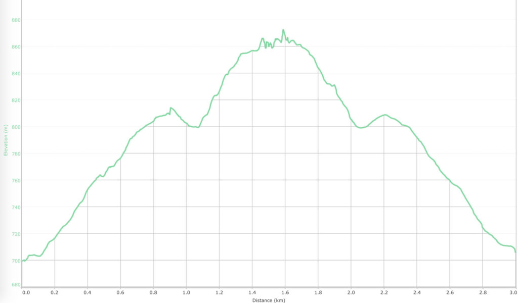
Change in altitude
Disclaimer
This walk was undertaken by the team from Australian Hiker