Rob Roy-via Big Monks Summit Track ACT (10.4km)
ACT
Nearest Town
The closest suburb to the trailhead is Banks, ACT
Starting Location
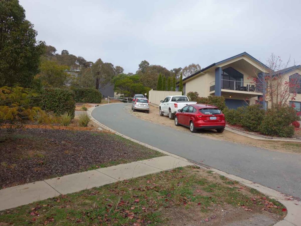
Car park on Orange Thorn Crescent adjacent to the large water storage reservoir
Finish Location
Car park on Orange Thorn Crescent adjacent to the large water storage reservoir
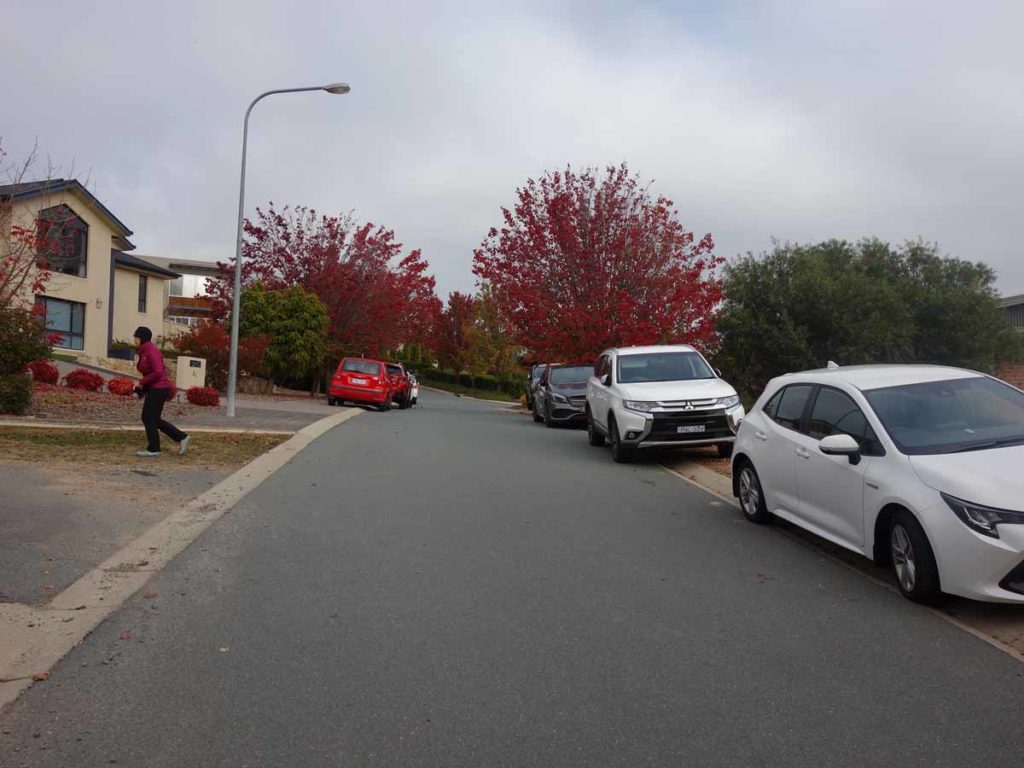
The car park on Orange Thorn Crescent is very small only catering for about four cars so if you don’t turn up early, expect to park along the adjacent street – make sure you park off the road so you don’t obstruct resident access
Best Time of the Year to Walk
Year round although if walking in mid-summer go early to avoid the heat
Rob Roy-via Big Monks Summit Track Review
This walk combines both the Big Monks Summit Walk and takes in the Rob Roy Summit but if you don’t feel like doing both summits, you can very easily skip Big Monks. Doing the combined walk is a total distance of 10.4 km and will take a fit hiker around 3.25-3.5 hours including stops at both peaks. If you are new to hiking or unfit, allow about 4-5 hours.
There are two difficult parts to this walk with the first being getting to the trailhead. Arriving at your start point requires you to weave in and out of the suburb of Banks – the easiest way to get there is by entering ‘Big Monks’ into the Google Maps app on your car or phone. If you are using a paper map, you are heading towards the suburban water tank on Orange Thorn Crescent. Once you arrive you will then need to find a parking space. The trailhead parking consists of space along the side of the access road otherwise you’ll need to park along the adjacent street but please be considerate of local residents.
This walk starts by heading up hill on the right hand side of the large water tank – this is the second difficult part of this walk. While the trail is almost all uphill until you reach the summit, the first 700 metres is very steep, with a gradient of about 1:6. The fact that this first section of the walk is on bitumen road provides a good indication it is steep and the main reason the grade for this walk is 4. If you are looking for an easy walk then this isn’t it. Having said that, once you get past this first section the walk does become much easier.
There is limited signage on this trail and you need to stay on the management road until you reach a turn point at about the 1.8 km mark directing you right towards your first summit of the day – Big Monks. Continue uphill but the slope is not steep. As you approach the summit you will reach a saddle and if you head right about 150 metres you end up at the TRIG station on the summit which really does provide some excellent views. I also suggest walking down to the saddle and over to the left to the lone Kurrajong Tree on the lower summit as this provides additional views that you don’t quite get from the Big Monks summit itself.
Once you’ve had your fill of the views at Big Monks, head back down the hill to where you turned up to Big Monks and rather than turning left to head back to the car park, head straight ahead across the small saddle and up the hill on the management road towards the Rob Roy Summit. At the T-intersection go right – turning left will take you up to another, smaller summit. To reach the Rob Roy Summit continue right on the management road which will take you very obviously upwards. As strange as it sounds, further on you start heading downwards and it looks like you are about to head back down and around the main summit. At this point you could almost be forgiven for thinking you have missed the summit but shortly into the descent you’ll see a very well worn, unmarked, foot trail on the left side of the road which takes you to the rocky peak of the Rob Roy Summit.
The philosophy 100+ years ago was to remove every tree to maximise grazing land. For whatever reason, the peak at Rob Roy looks like it missed that experience or maybe it has regrown given it is pretty much treed all the way to the summit. There is a very old TRIG station on Rob Roy but given the tree growth there are really no spectacular views although you can move around the general summit to peek out through the trees.
The reward of walking to the summit of Rob Roy is the return walk. As you start heading down the hill you come across some very obvious points on the road where the trees have thinned out and you get get some excellent views across various parts of the city. Its worthwhile taking a bit of break here to take them all in.
From here you wind your way back to the saddle turn point and start making your back down to the trailhead. The downhill walk from this point also provides you with some excellent views you won’t have noticed on the way up. Take in the views across the adjacent valleys and into the southern residential areas of the Tuggeranong Valley. As you approach the bottom of the walk it’s here you’ll again hit that really steep section of the trail – it’s so bad there are warning signs for pedestrians and cyclists to pay attention. Take care as you walk down this steep section!
Overall this walk is light-on for bird and animal life but it’s the views you come for. I’m really coming to love this end of town and will definitely come back to walk this trail again when I have the chance.
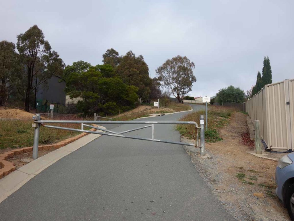
Trailhead start gate just off Orange Thorn Crescent. This is the main entry for this walk
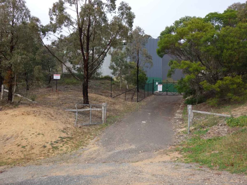
Suburban water tank at the trailhead
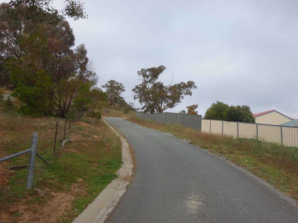
Heading up towards the reserve entry. The turn into the reserve is about 90 metres up from the entry gate
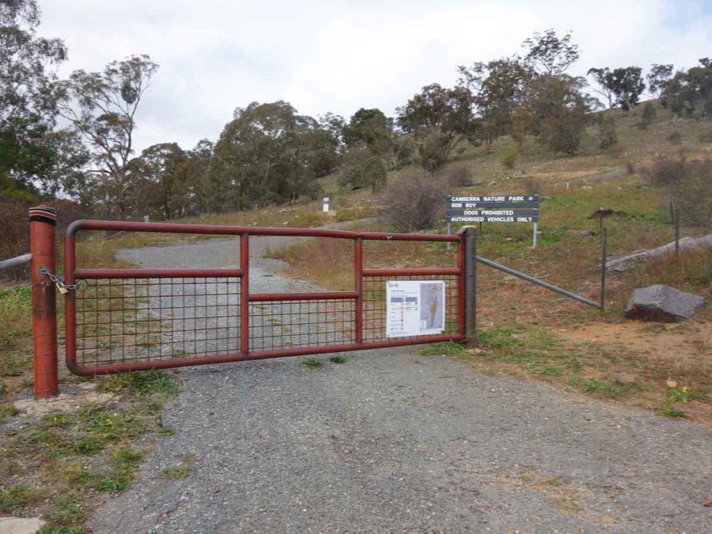
Entry into the Rob Roy Nature Reserve. This is one of the most ‘industrial’ reserve gates in the Canberra area
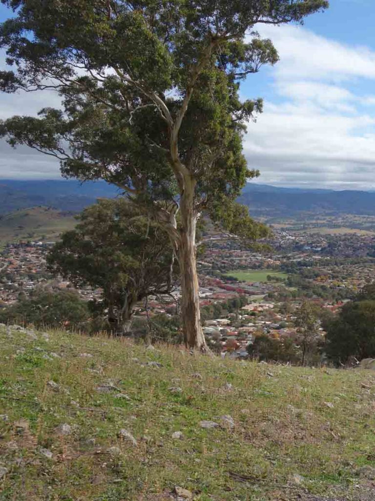
Views into the suburbs on the way up
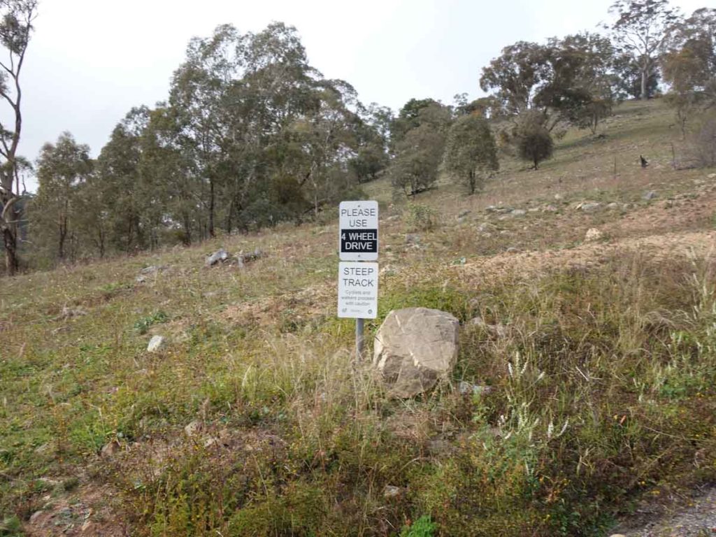
Sign warning about the steep slope
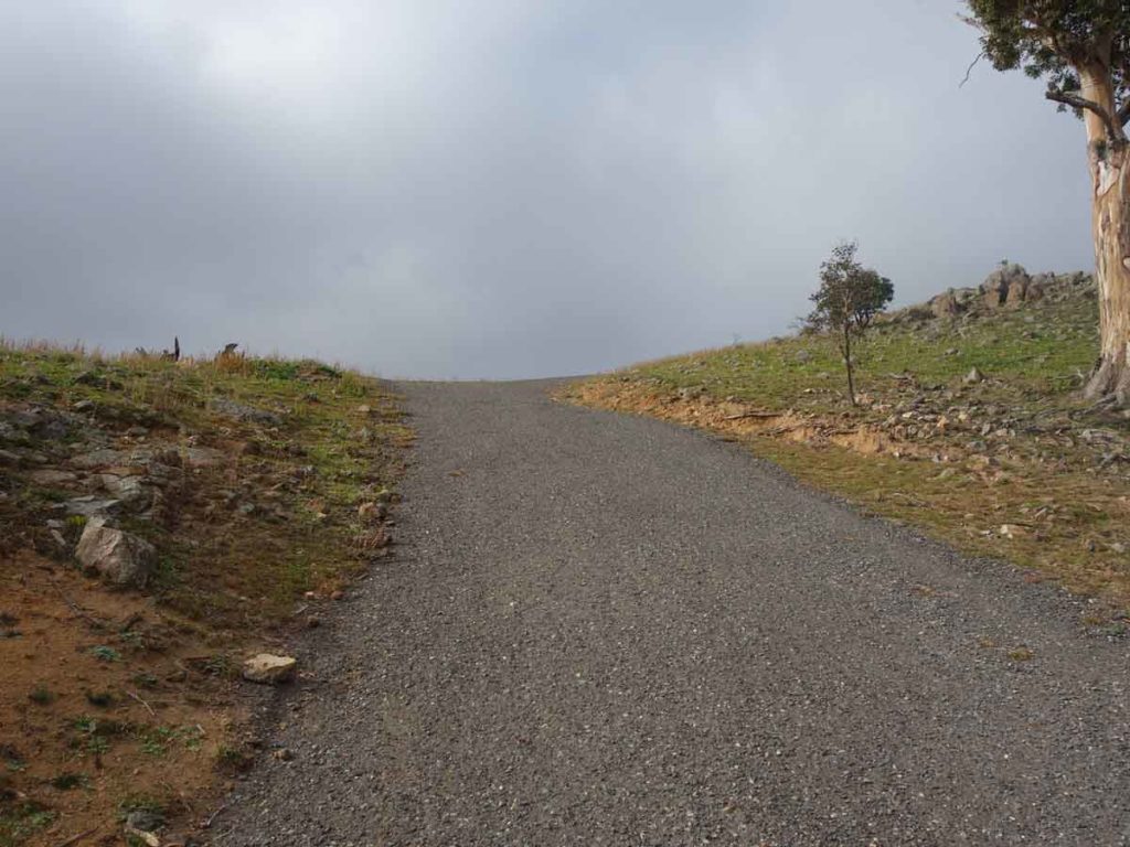
Bitumen road on the first 700 metres of trail. This is a flatter section of this road
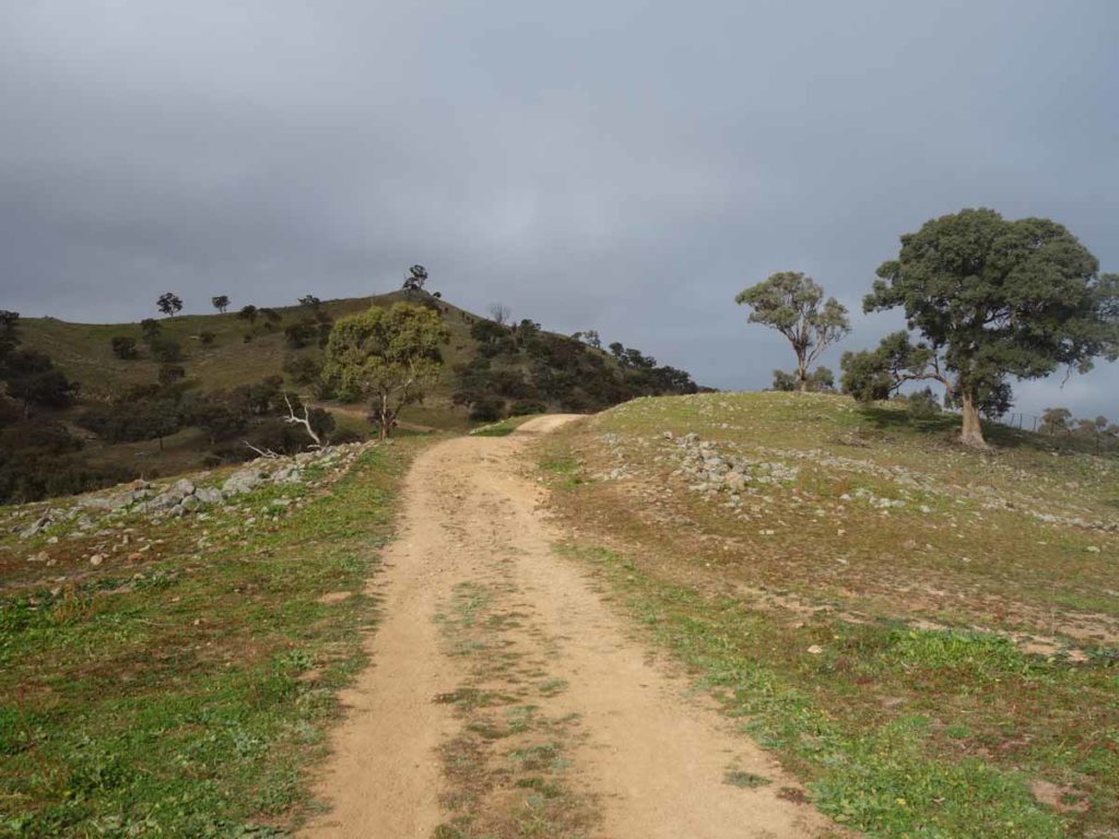
On to dirt and the trail flattens out

Slope warning sign just off the edge of the trail
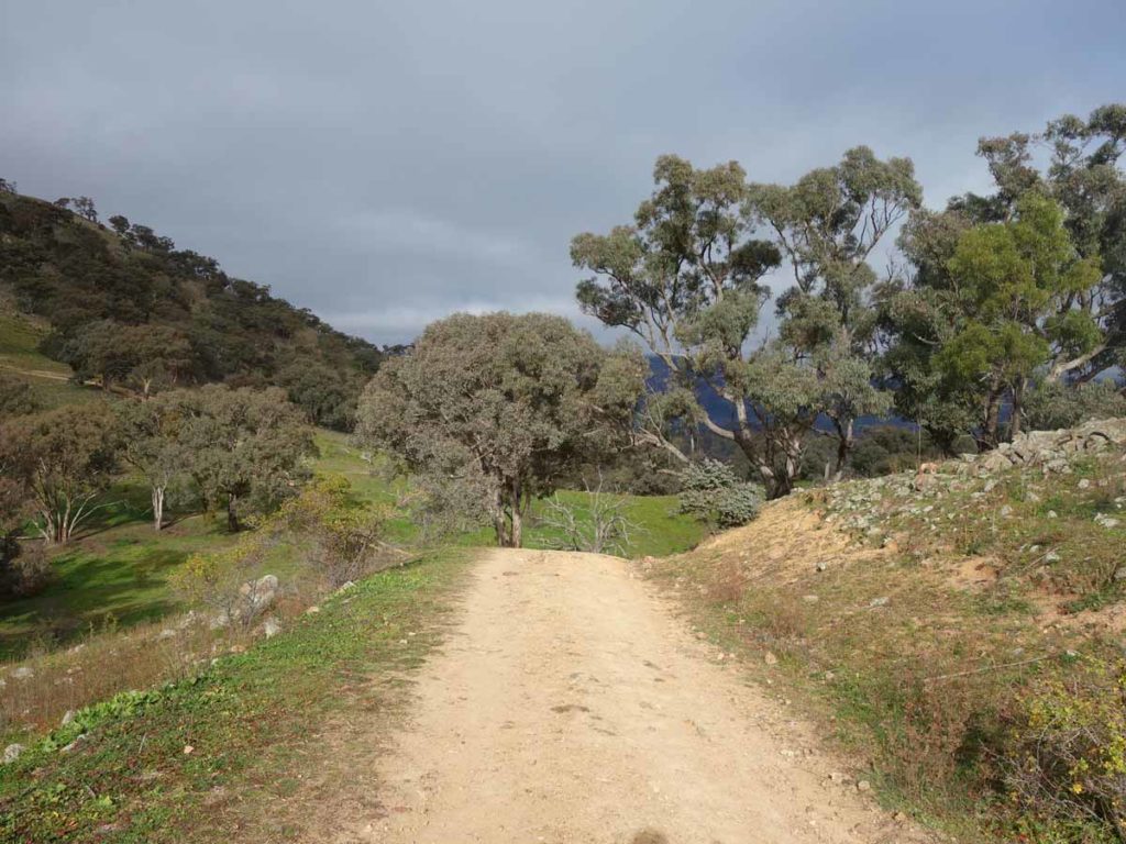
A short downhill section
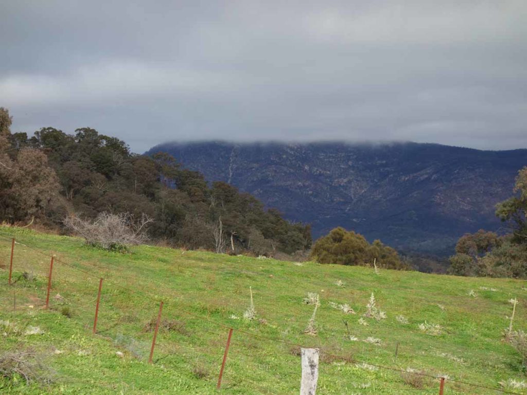
Mount Tennent summit covered in cloud
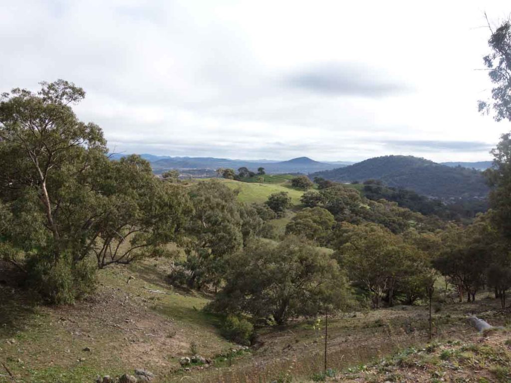
More views

Panorama view from the trail
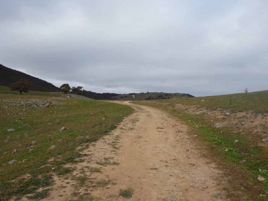
There is a sign just in the middle of this image on the edge of the trail
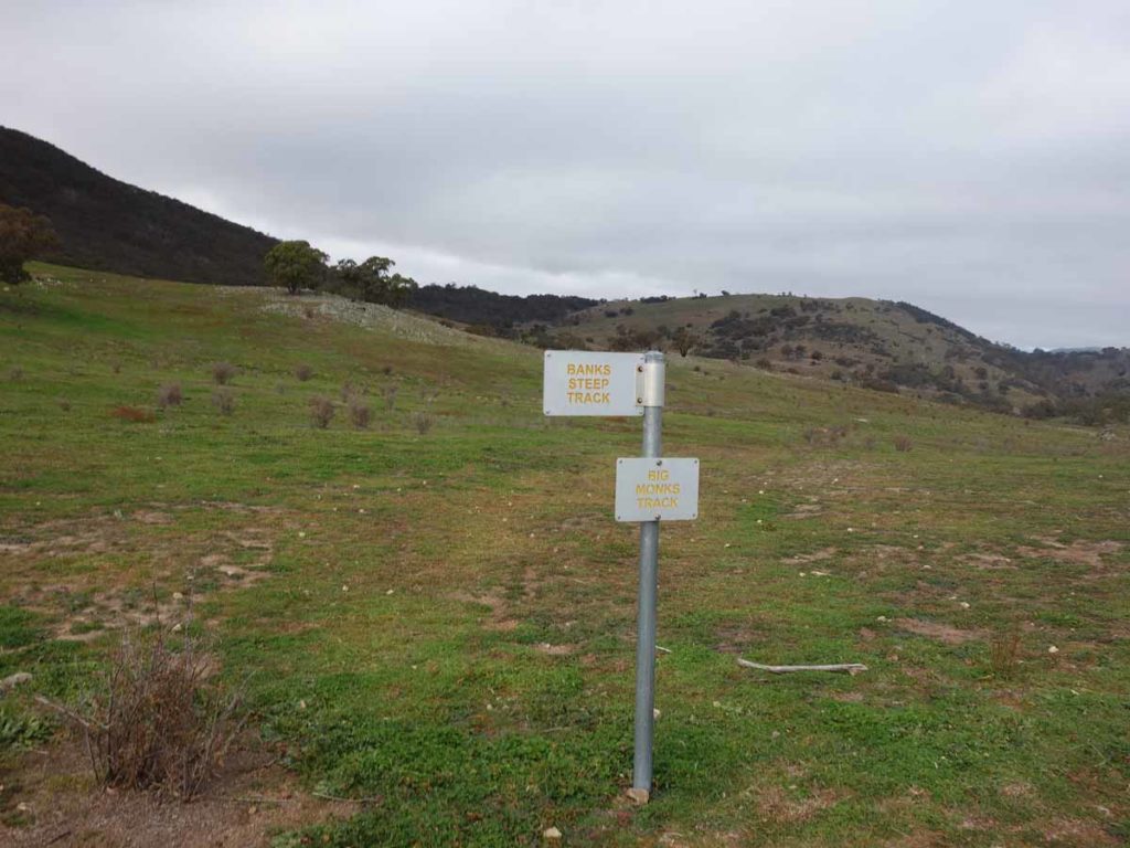
Trail sign. If you go right you’ll head to Big Monks. Go left and you head on towards Rob Roy Summit. There is also a road that goes straight ahead and bypasses the Rob Roy Summit altogether
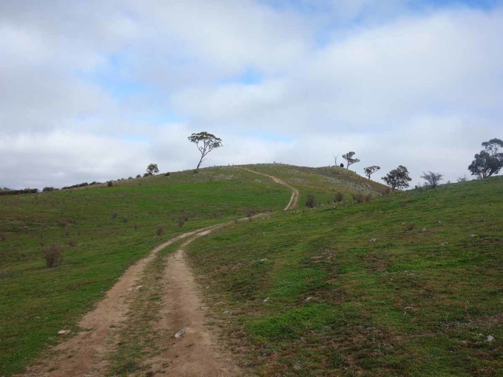
Up towards the summit
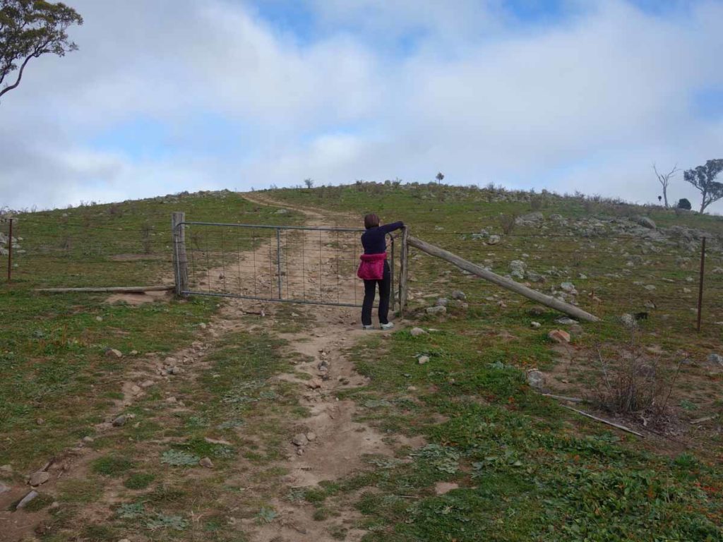
Through the gate. Remember to close it on the way through
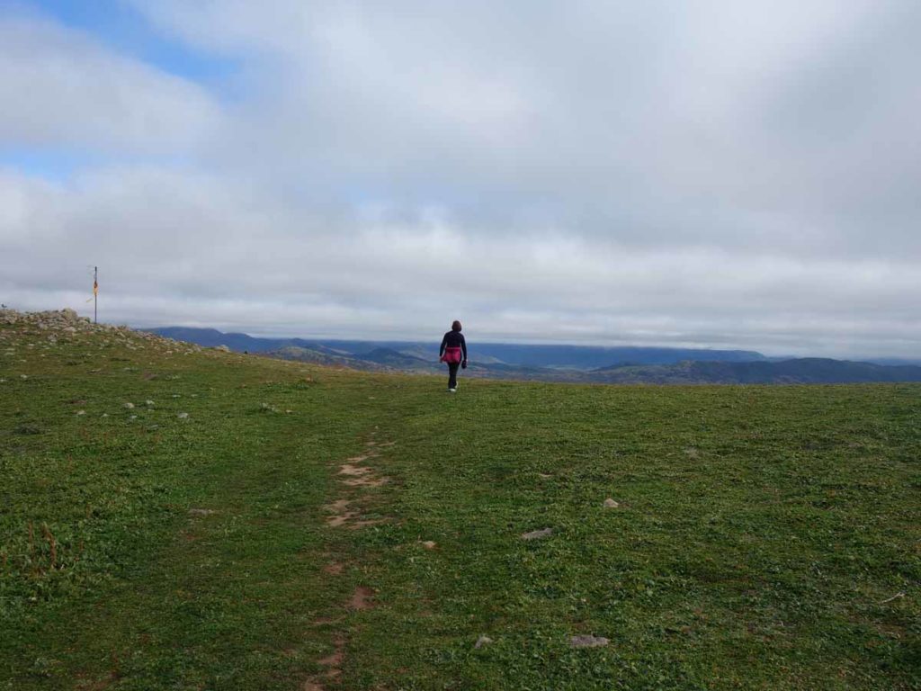
The saddle below the summit
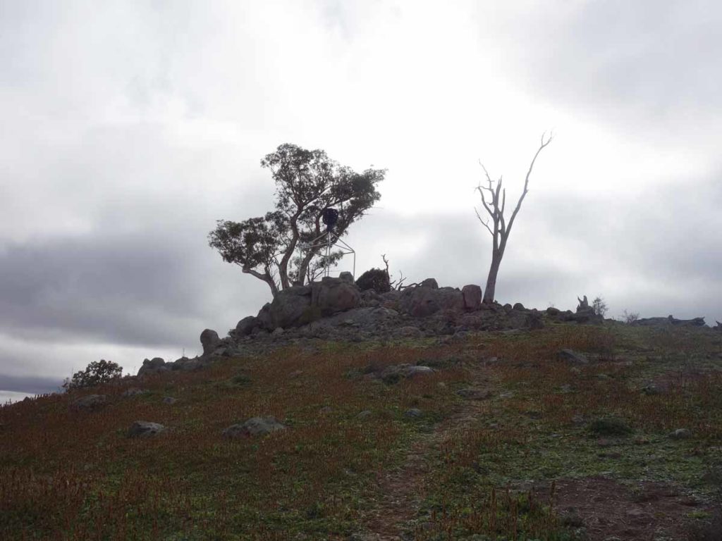
Big Monks Summit
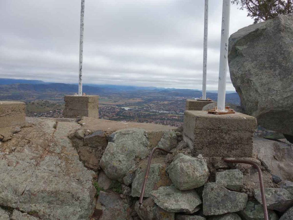
The summit of Big Monks

Panorama from the summit
There really are some great views from this summit!
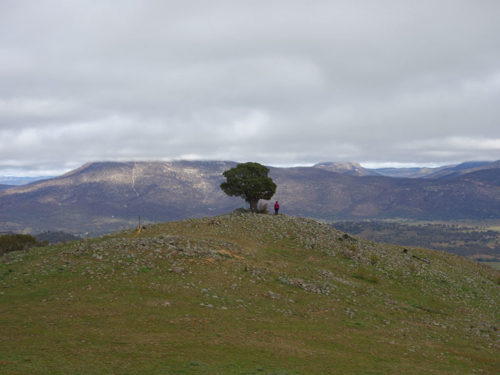
Lone Kurrajong Tree on the lower hill
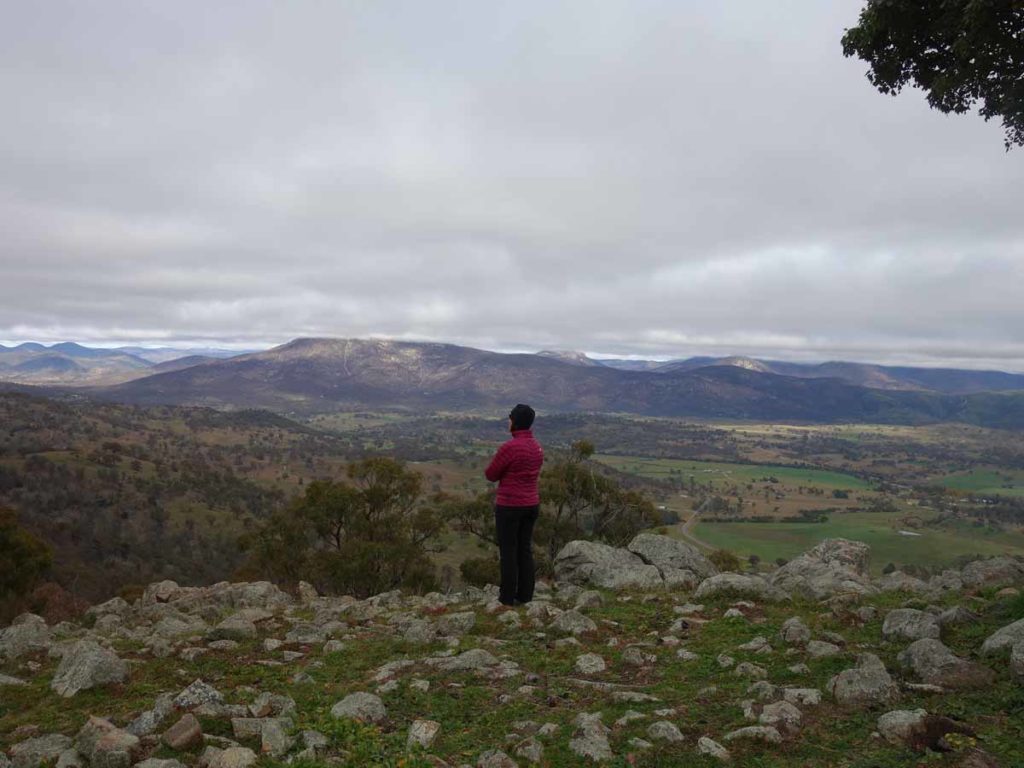
Contemplation
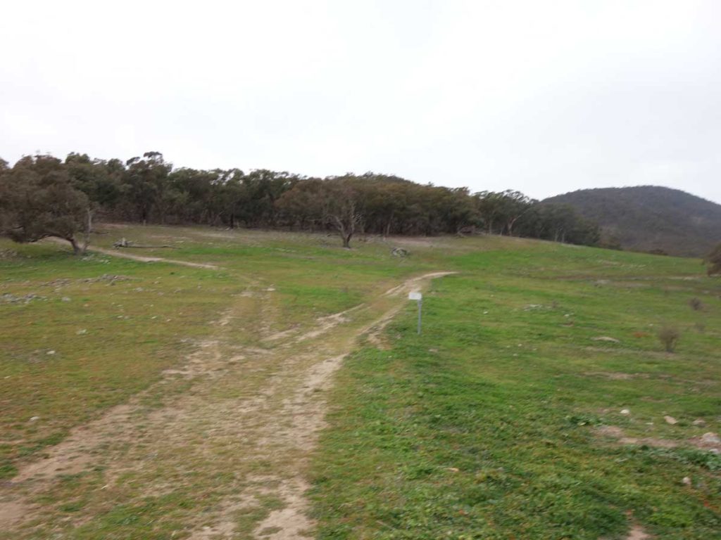
Coming down from Big Monks, veer to the left and follow the signs to the Rob Roy Summit
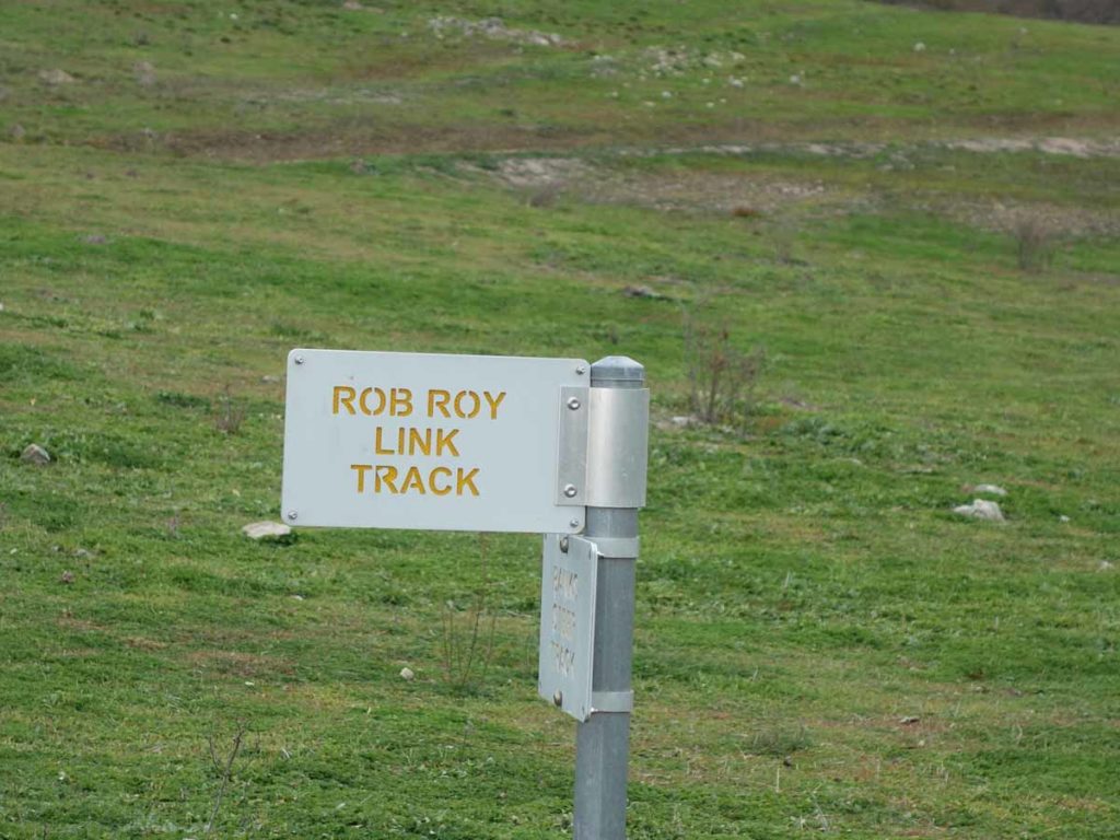
The signage is basic on this trail but easy to follow most of the way to Rob Roy Summit
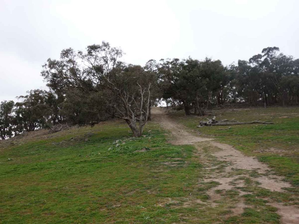
Up the hill and through the gate
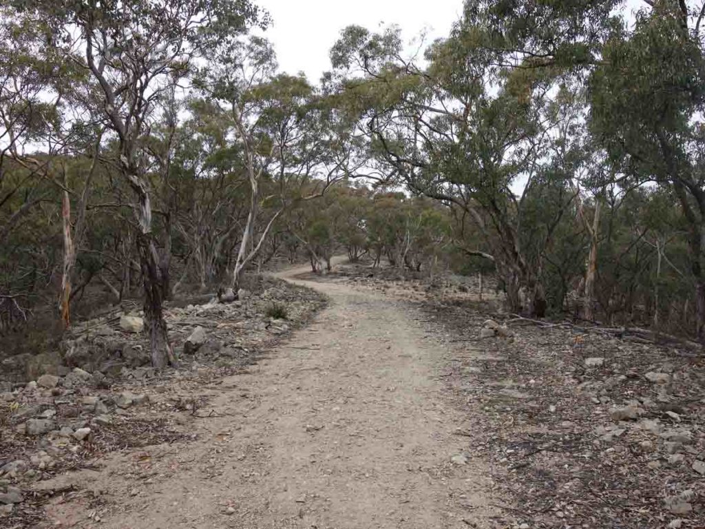
The trail continues to follow the management road
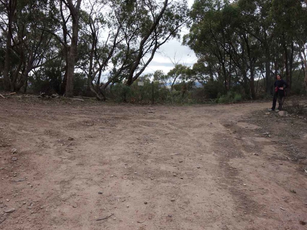
Turn right at the T intersection. Left will take you up to an unamed peak
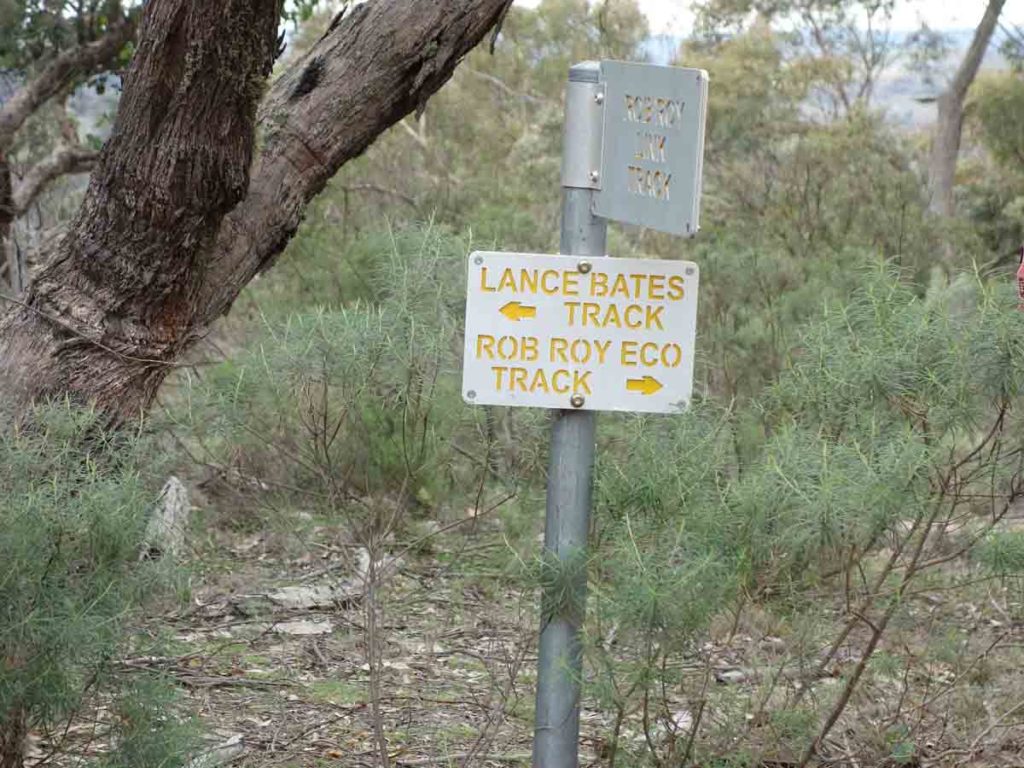
Turn right at this sign towards Rob Roy
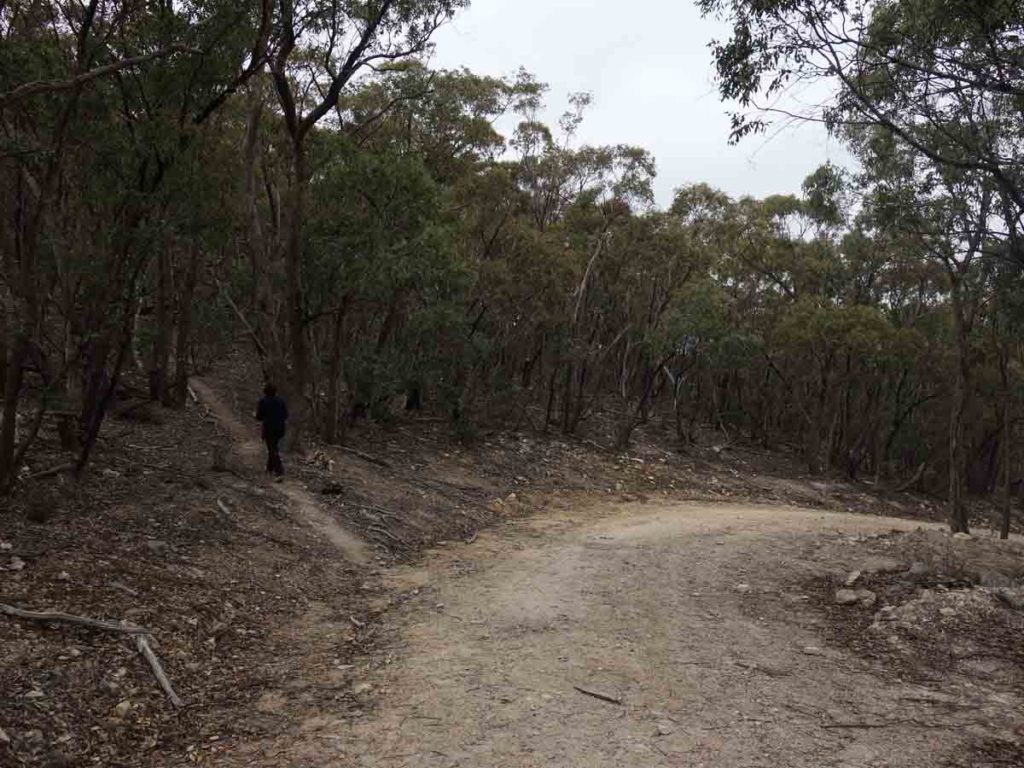
Side track to the summit of Mount Rob Roy. This side trail is on the left and is not signposted – you will come across it not long after you start heading down hill
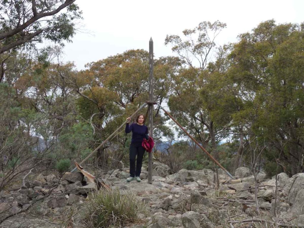
Gill and the Rob Roy Summit marker
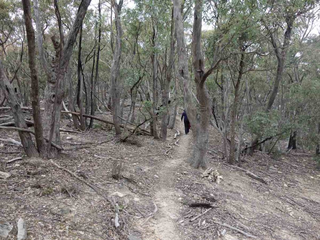
Heading down from the Summit marker
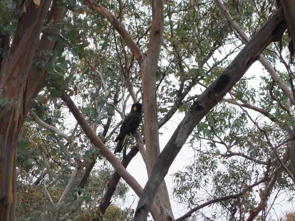
Yellow Tailed Black Cockatoo off the side of the trail
The summit of Mt Rob Roy is heavily treed but the the views below all the summit is where it’s all at
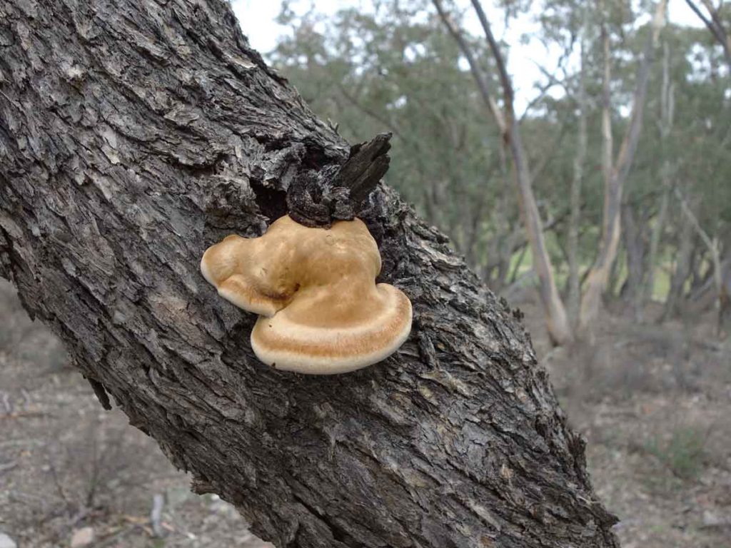
Wood Rot Fungus
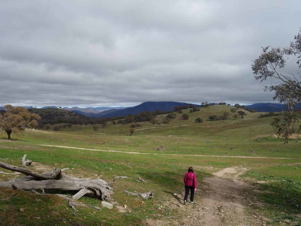
Returning back to the saddle
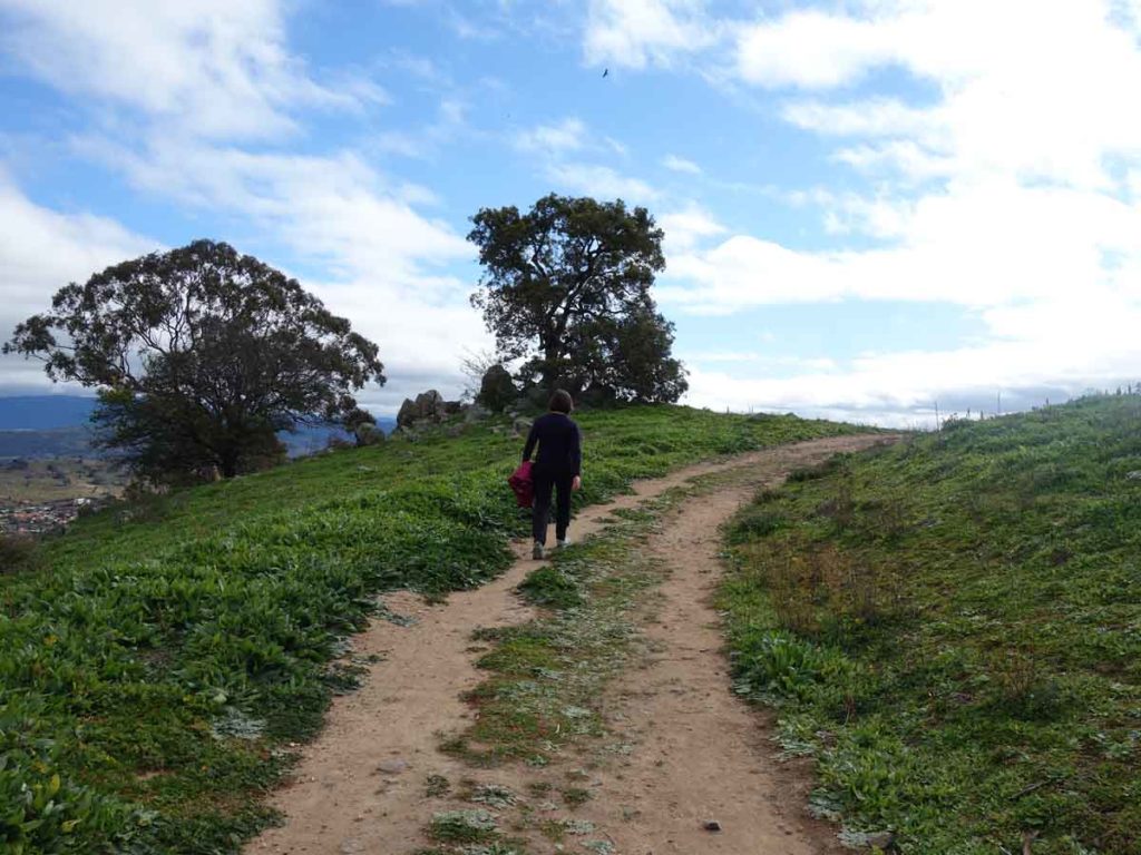
Heading home

Panorama view
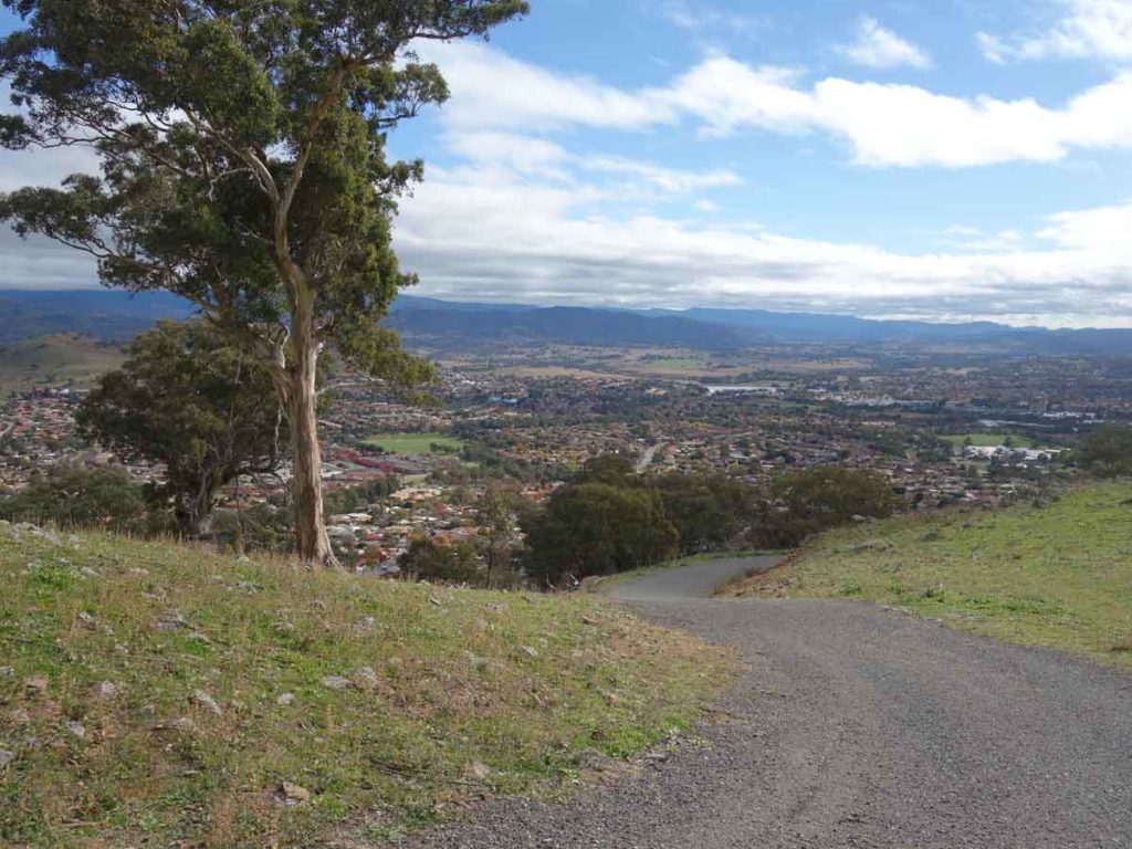
View down on to Tuggeranong Valley
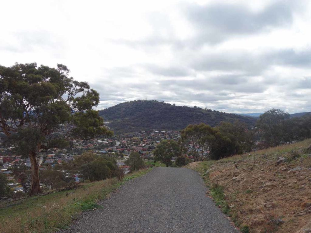
Tuggeranong Hill as veiwed on the way down
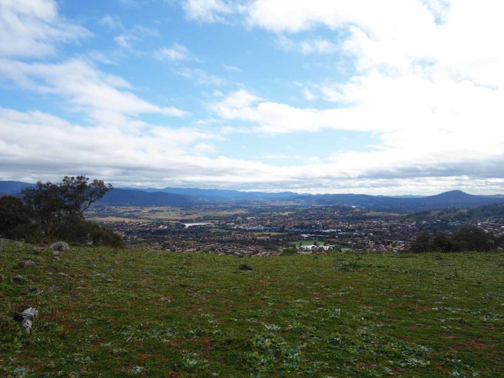
View on the way down
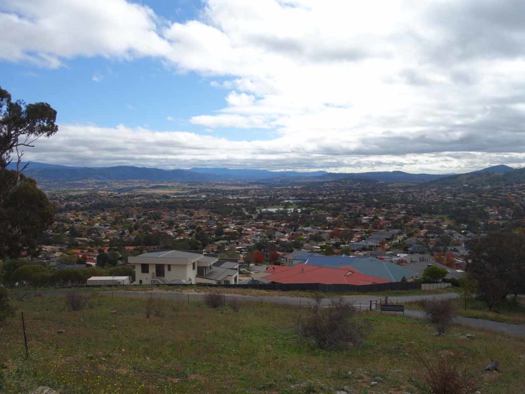
Almost to the car park
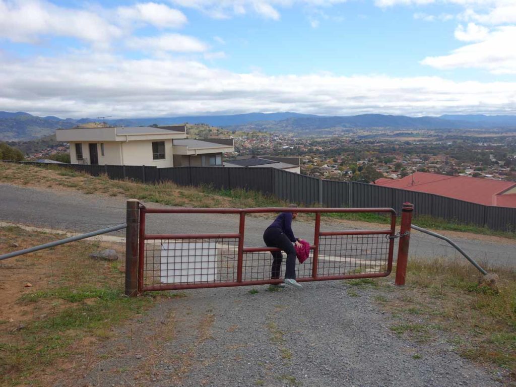
Through the gate
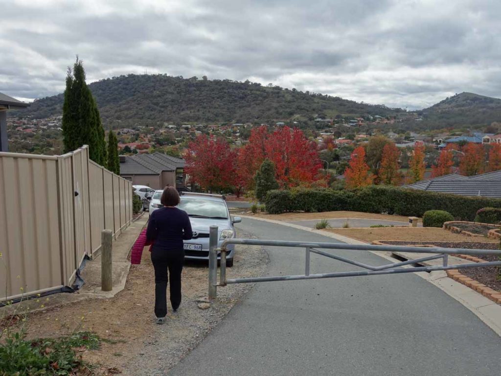
Back to the trailhead
Getting There
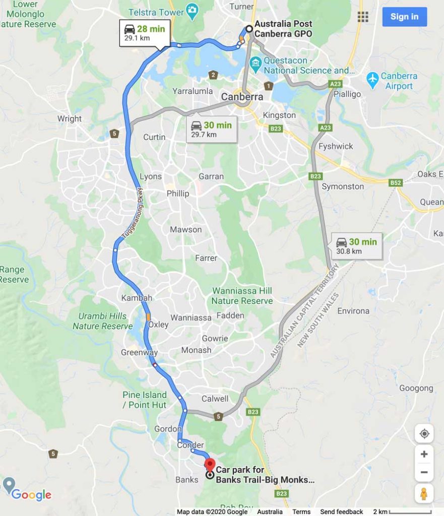
The main trailhead at Orange Thorn Crescent is around 30 km from the Canberra GPO and around a 30 minute drive. Getting to the trailhead requires you to weave through the suburb
Things to know
- Phone: There is excellent phone coverage on this trail (Telstra)
- Water: You need to bring your own water
- Toilets: There are no toilets on this trail
- Trail: This trail consists of formed track
- Dogs: No dogs allowed on this trail
- Other:
- This walk is an out and walk back experience
- The first section of this walk is very steep and as bad as it is going up, the return leg is worse so take care
- No camping is allowed on this trail
- Bring adequate shade (hat, long sleeves etc) in the hotter months
- The views leading up to/down from the summit of Rob Roy are better than the views at the summit


Trailhead car park
Disclaimer
This walk was undertaken by the team from Australian Hiker