Clancy’s Walking Track ACT (1.5km)
Canberra Nature Reserve
Nearest Town
The closest suburb to the trailhead is Watson
Starting Location
There are two possible starting points for this walk:
- Tay Street, Watson
- This car park is suitable for all types of cars and will fit about 12-15 vehicles
- Anthill Street, Watson
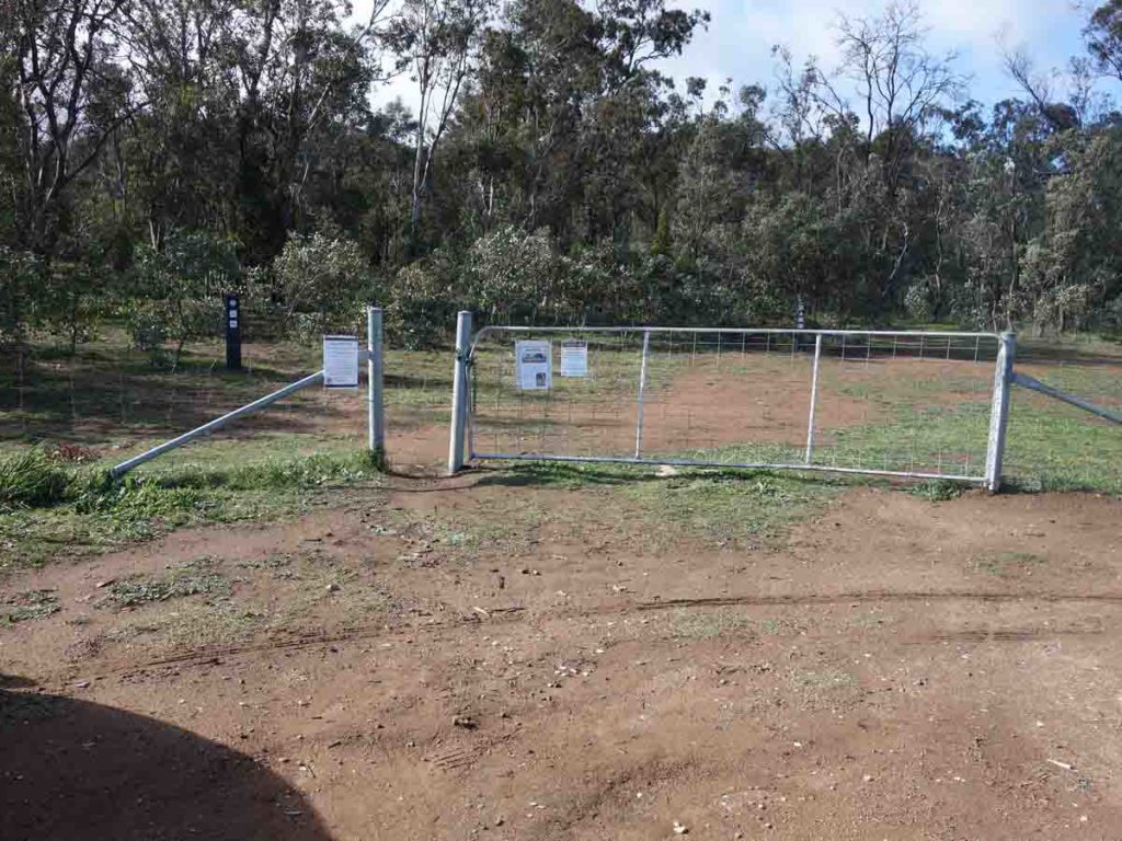
- If you use this car park, be careful if you have a low slung car because the entry and exit points are steep. The car park is a bit informal and will fit about 8 cars. This car park is usually not as busy as the main one on Tay Street
Finish Location
There are two possible finishing points for this trail depending on where you started:
- Tay Street, Watson
- This car park is suitable for all types of cars and will fit about 12-15 vehicles
- Anthill Street, Watson
- If you use this car park, be careful if you have a low slung car because the entry and exit points are steep. The car park is a bit informal and will fit about 8 cars. This car park is usually not as busy as the main one on Tay Street
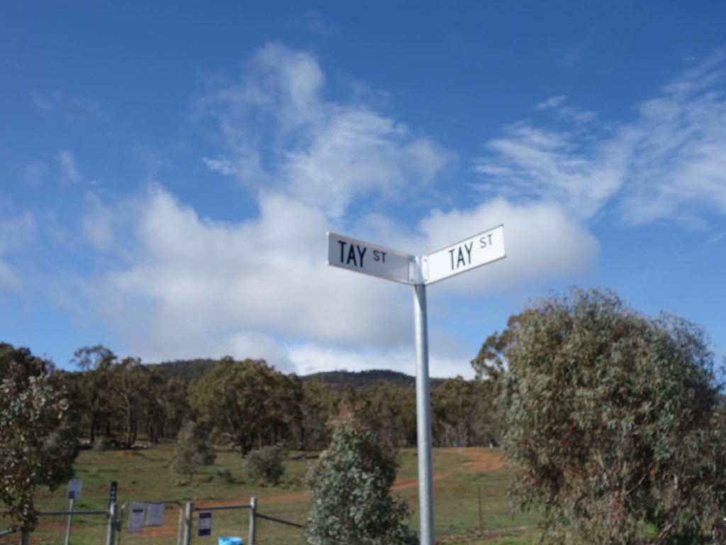
Trailhead on the corner of Tay Street and Tay Street!
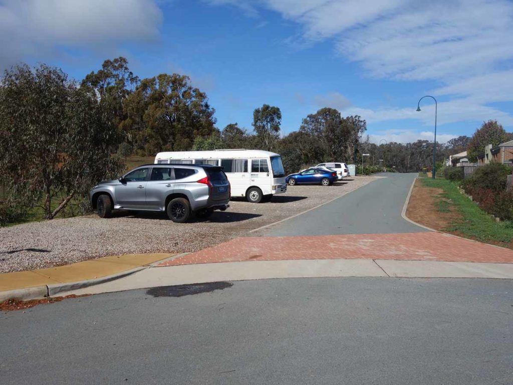
Tay Street car park
Best Time of the Year to Walk
Year round
Clancy's Walking Track Review
This is one of those short walks I had ignored over the past fews years but when Namadgi National Park was closed due to the 2020 bushfires, I was keen to ferret out those not so well known walks scattered throughout Canberra’s suburbs.
Clancy’s Walking Track, named after a restaurant that used to be on the site, is only a short walk (a 1.5 km loop) so it isn’t going to physically stress you too much but if you live close by, it will allow you to walk through bushland instead of through the suburbs. In addition, if you really feel inclined you can walk along the management roads on the base of Mount Majura or head up to the summit of Mount Majura itself.
There are two car parks for this trail with the first being located on Anthill Street – this is the one you find if you do a search on Google Maps. This car park is not as well used and by the look of it, the original one for this site. We have a highish-set 4WD but I wouldn’t recommend using this car park if you have a low slung vehicle. The main trailhead car park is on Tay street about 1 km away and it designed for all types of cars in all types of weather.
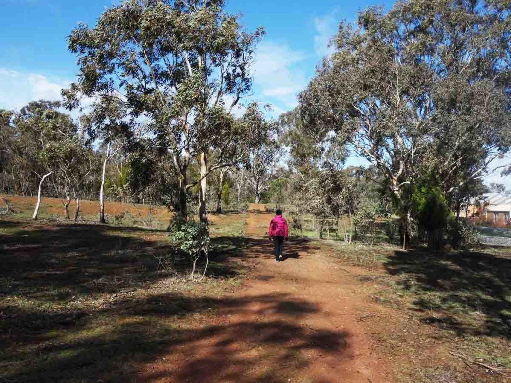
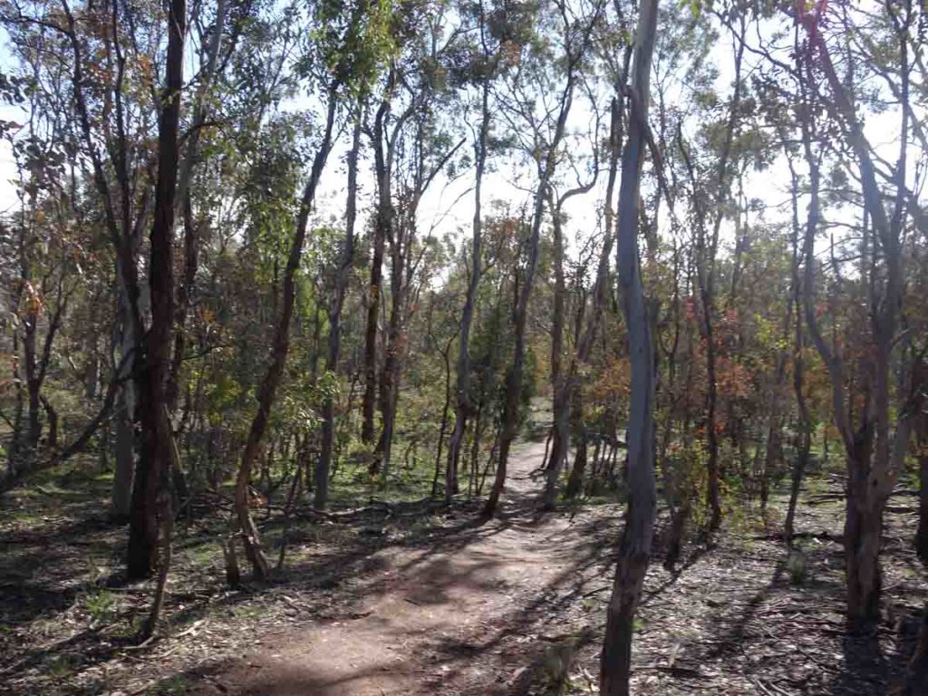
The trail itself is on formed track and takes you through fairly open forest and grassland. We didn’t see any wildlife on the day we did the walk with the exception of a few birds but there were lots of little fungi and wildflowers scattered long the trail if you bothered to look. This trail isn’t going to win any prizes and is never going to be considered spectacular but it is a nice little walk particularly if you live in that part of the city.
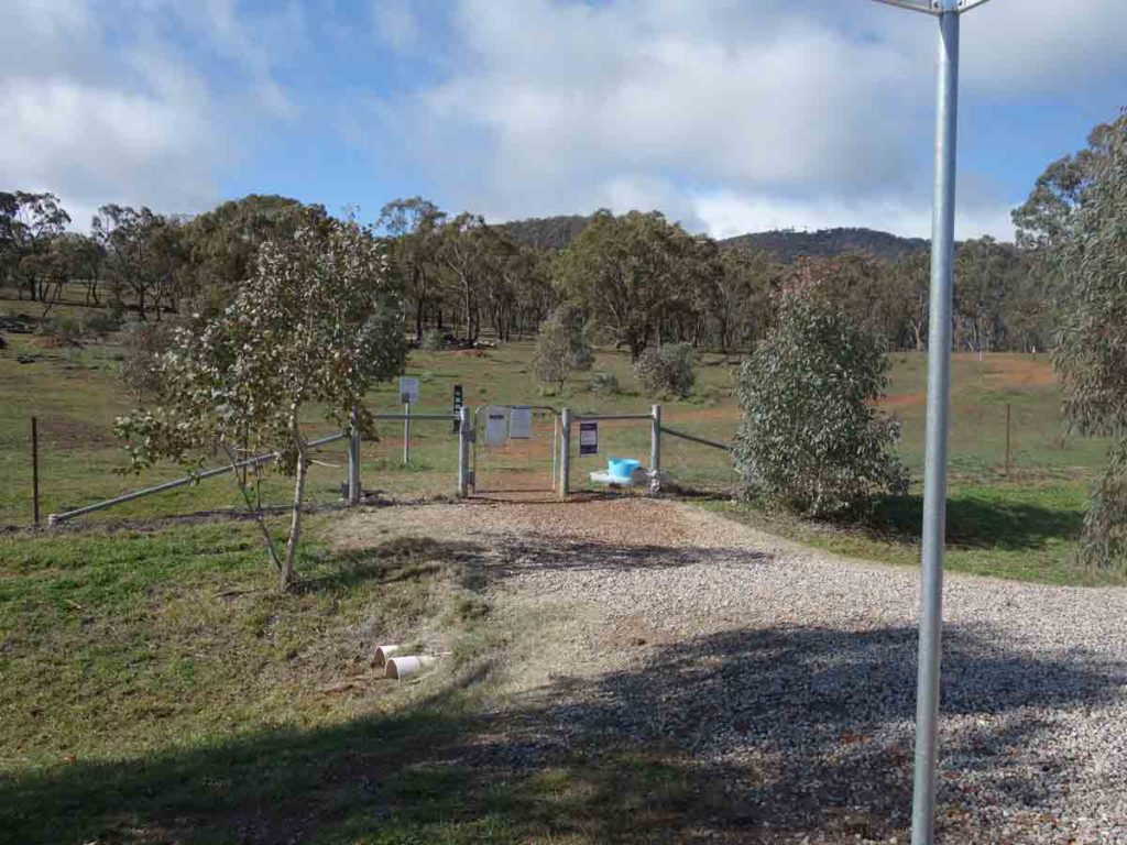
Tay Street gate. This is the main entry for this walk
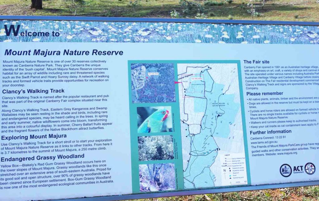
Tay Street interpretation signage
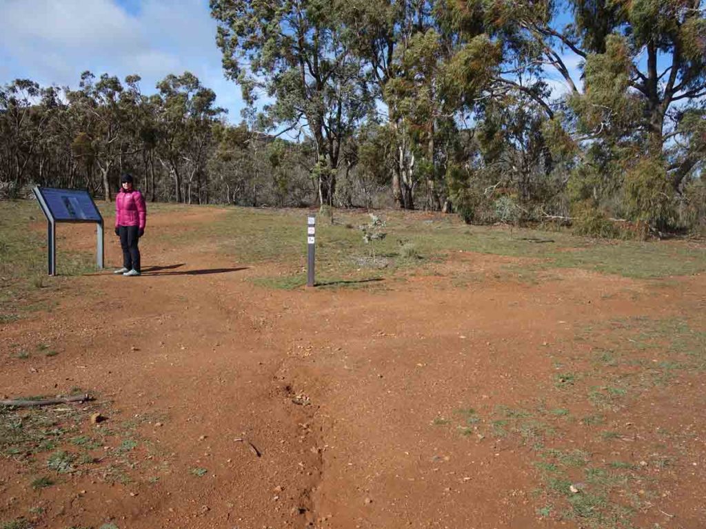
On the trail. At Tay Street you can go straight ahead or go right at this point as the walk is a loop
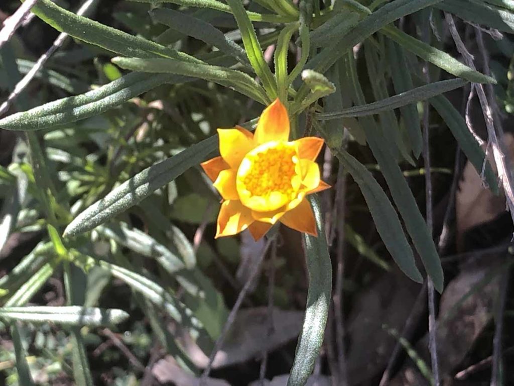
Paper Daisy
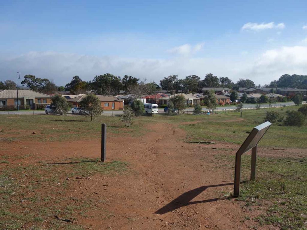
Turn right at Tay Street. The suburb of Watson is visible on the right just out of the image
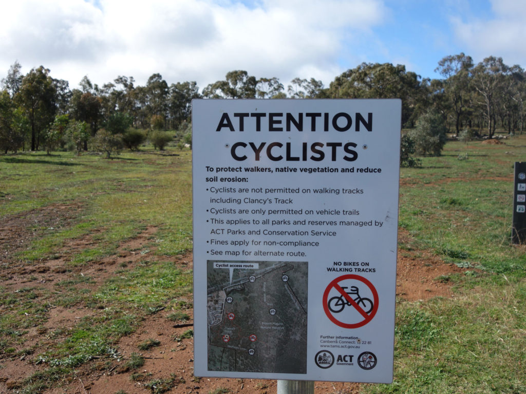
No bikes on this trail
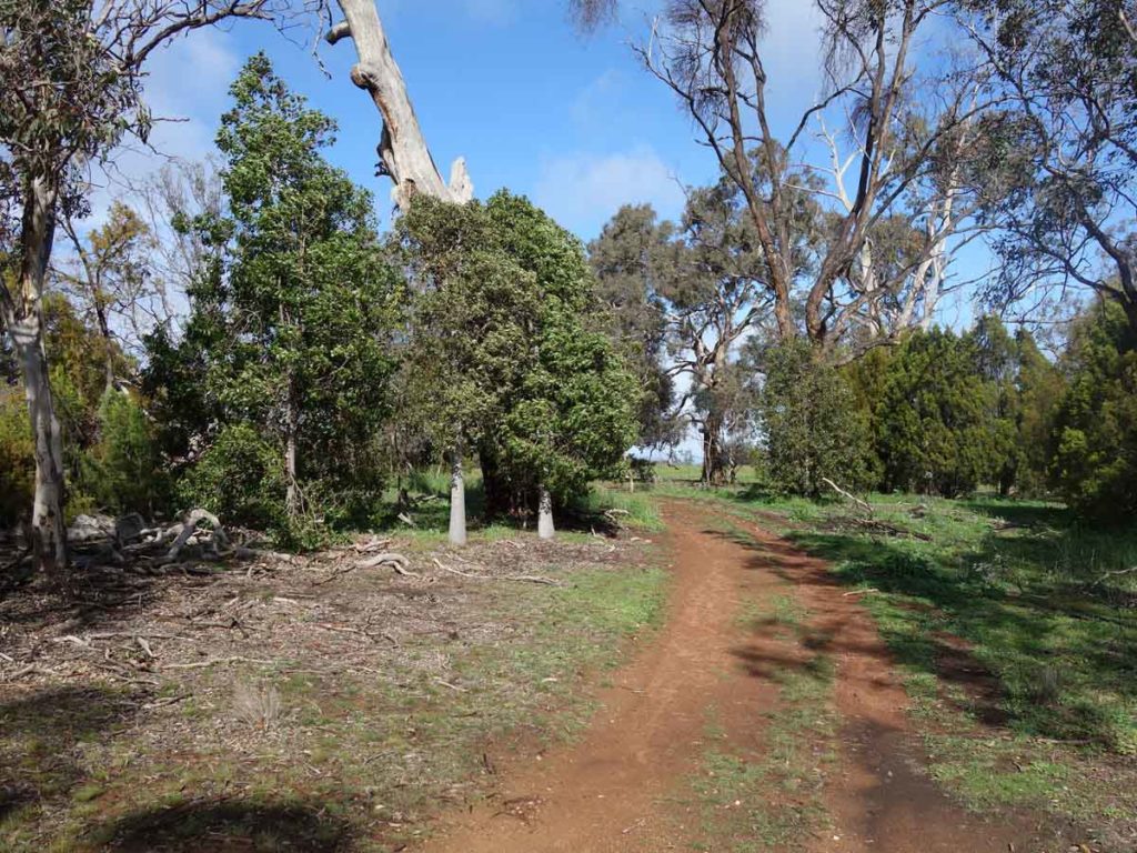
Trail example
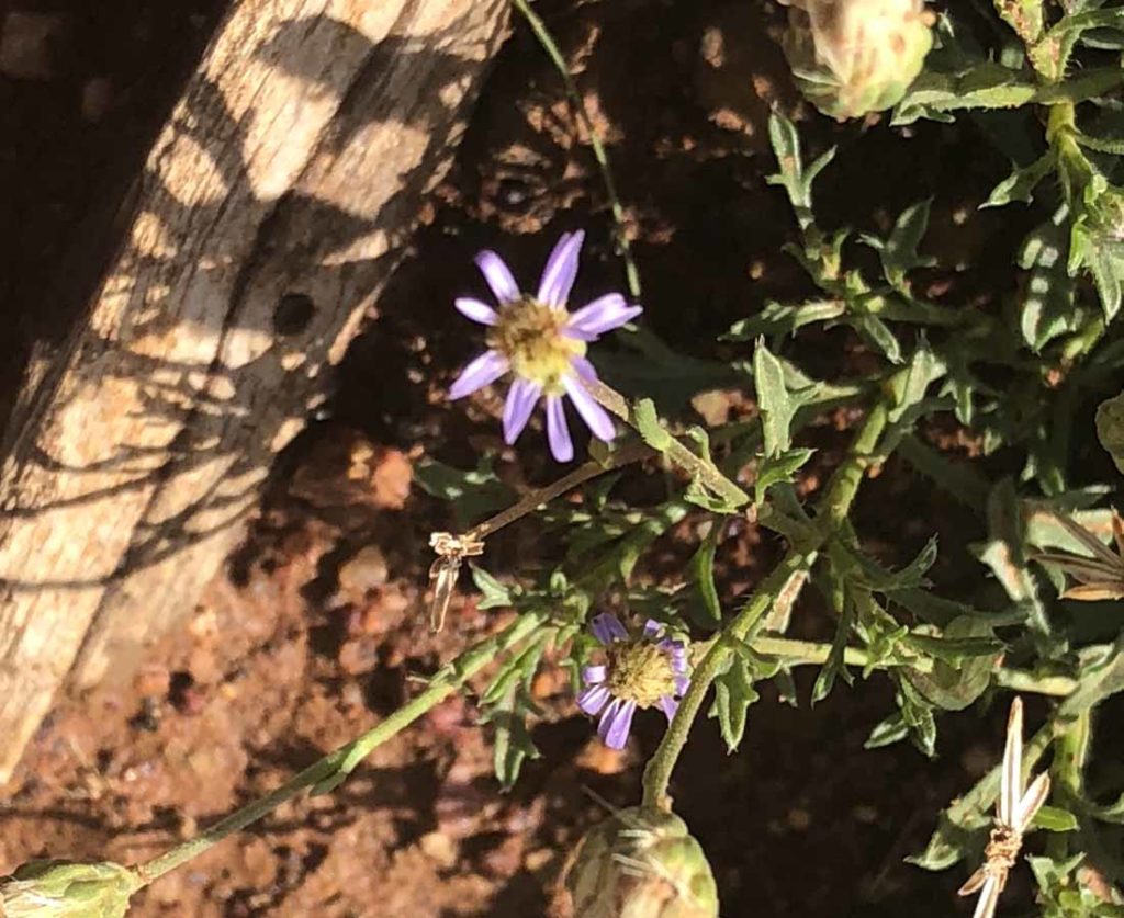
Native Daisy
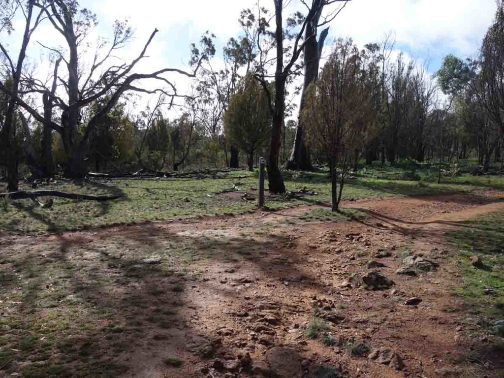
Approaching the Antill Street car park
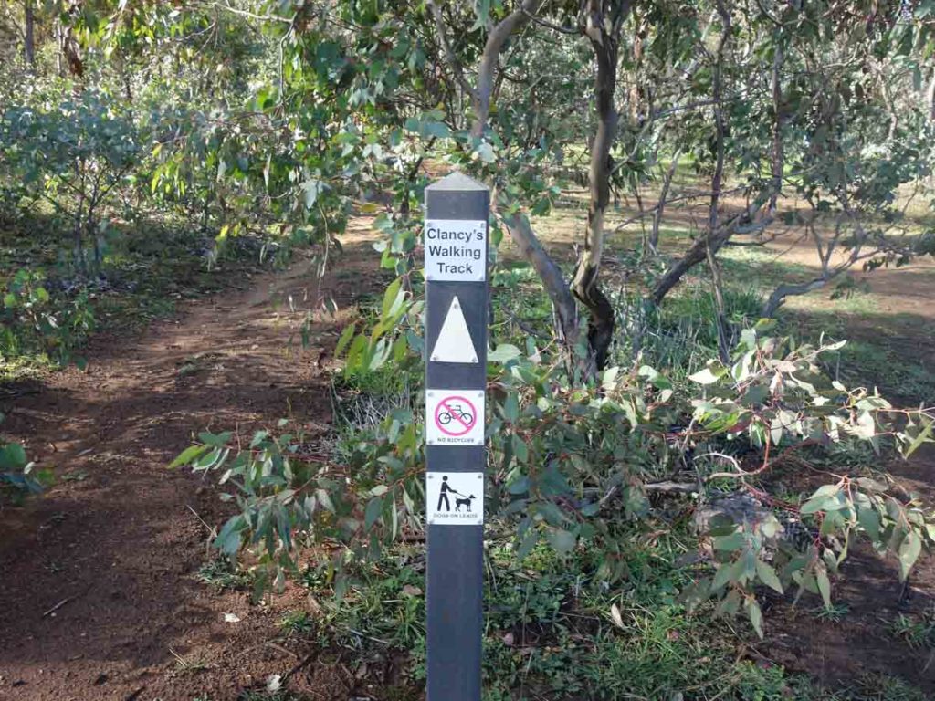
Trail signage off Anthill Street
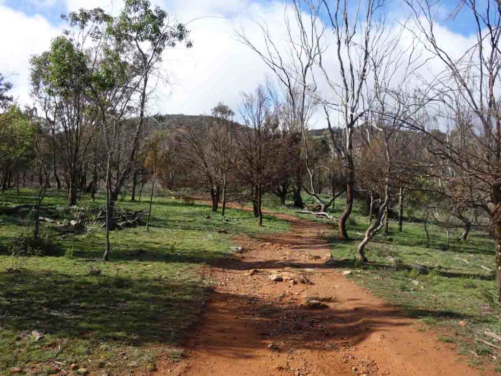
Trail example with Mount Majura in the background
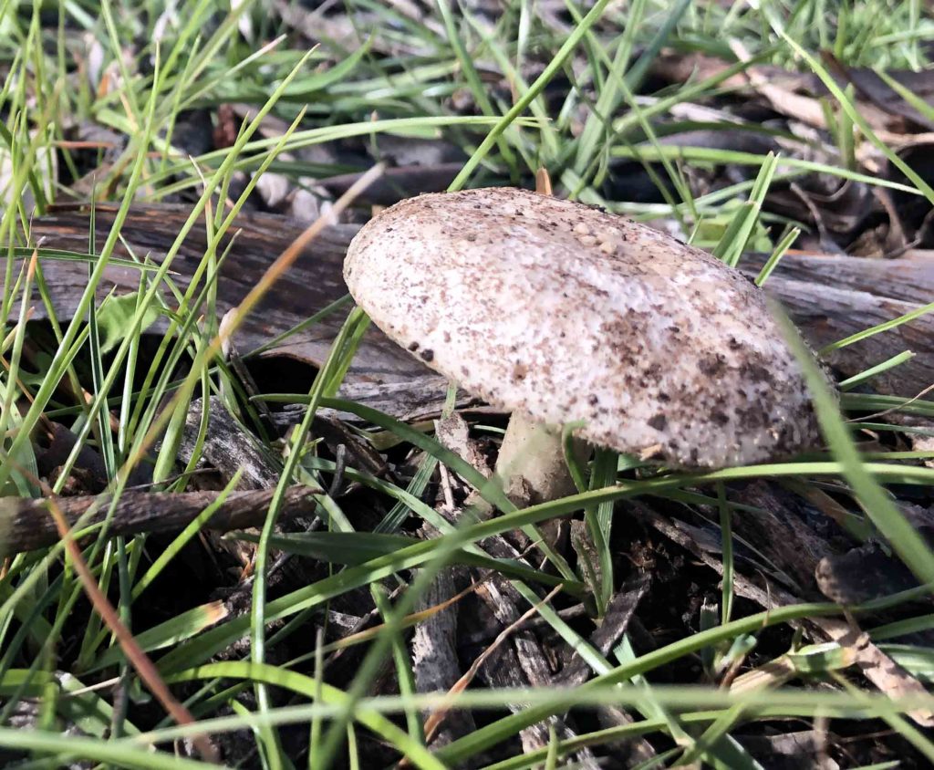
Fungi on the trail
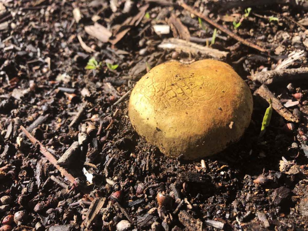
More fungi on the trail
Trail example
Look out for the turn signs
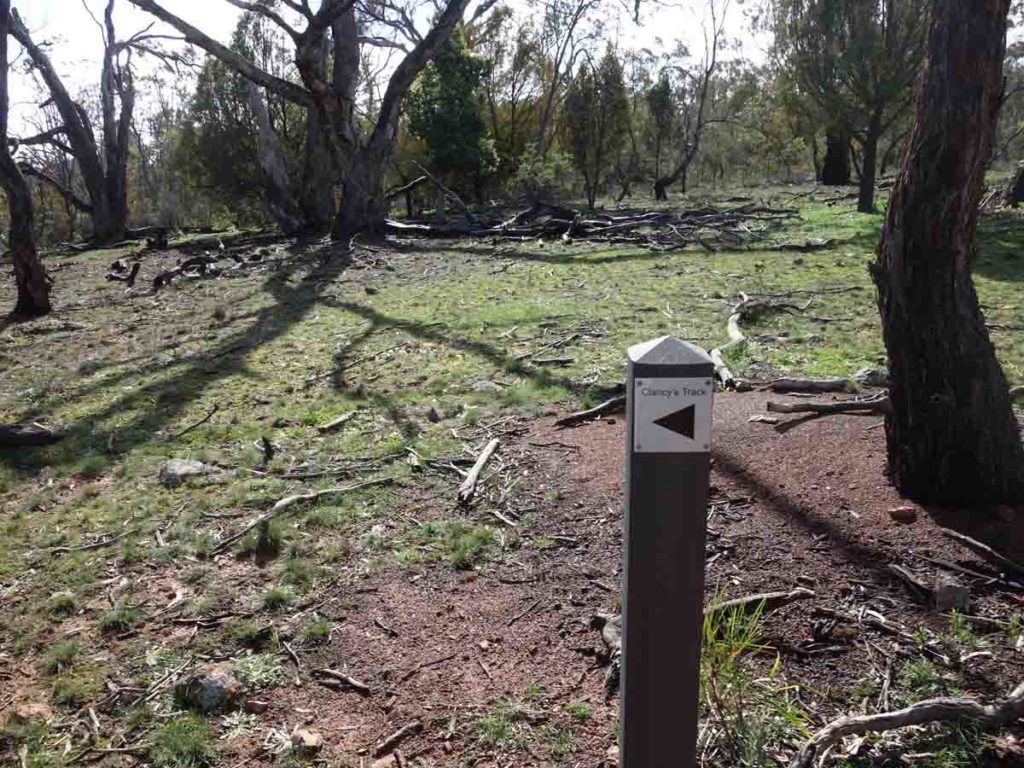
Trail signage showing which direction to head
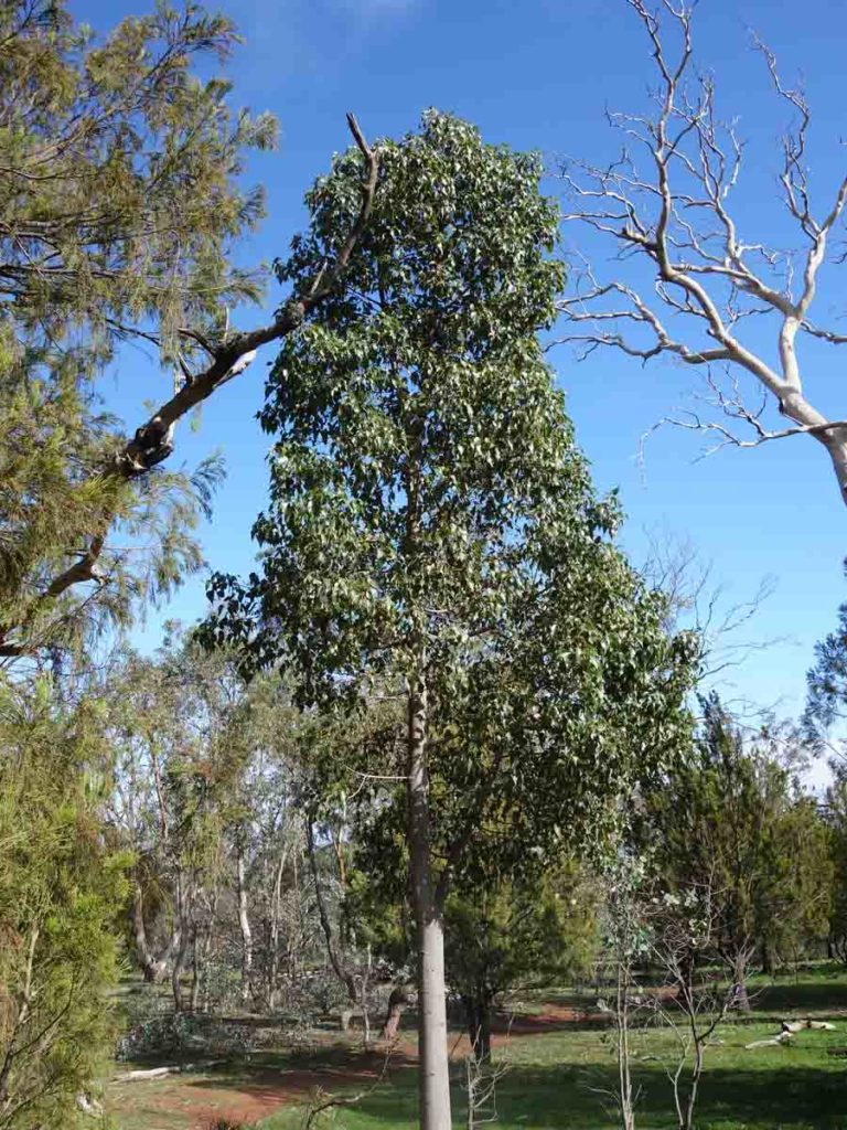
Kurrajong trees are common around Mount Majura
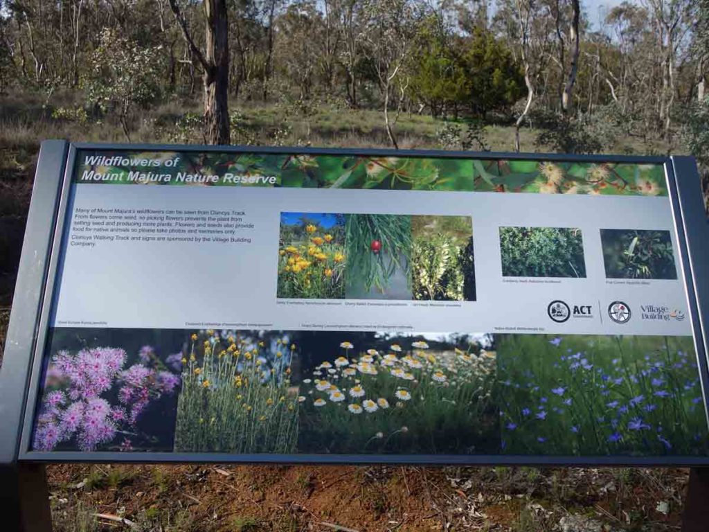
Interpretation signage
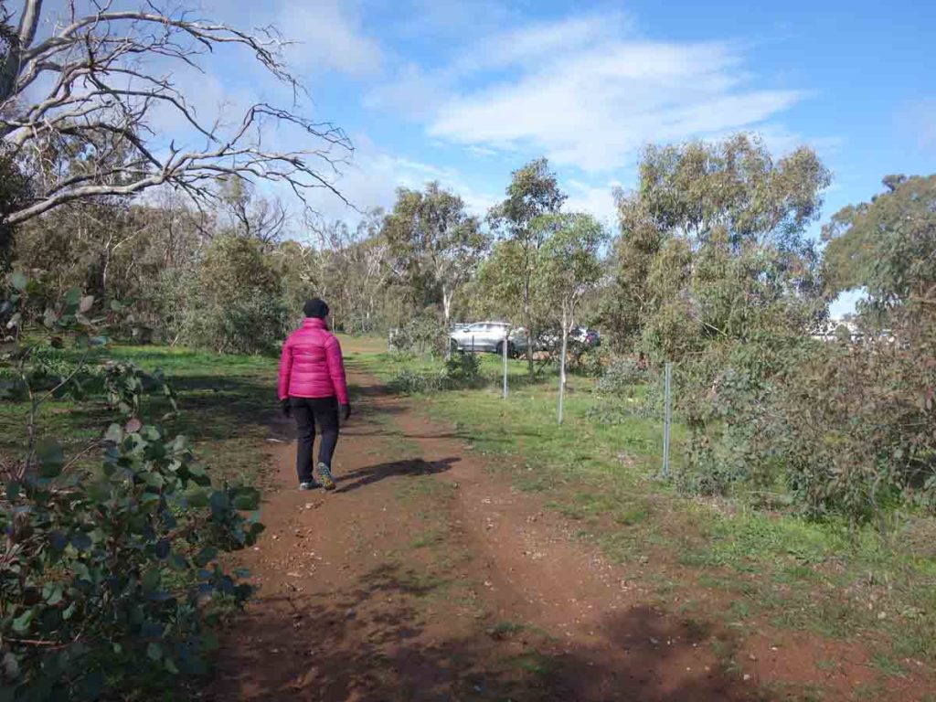
Heading back to the trailhead on Tay Street
Getting There
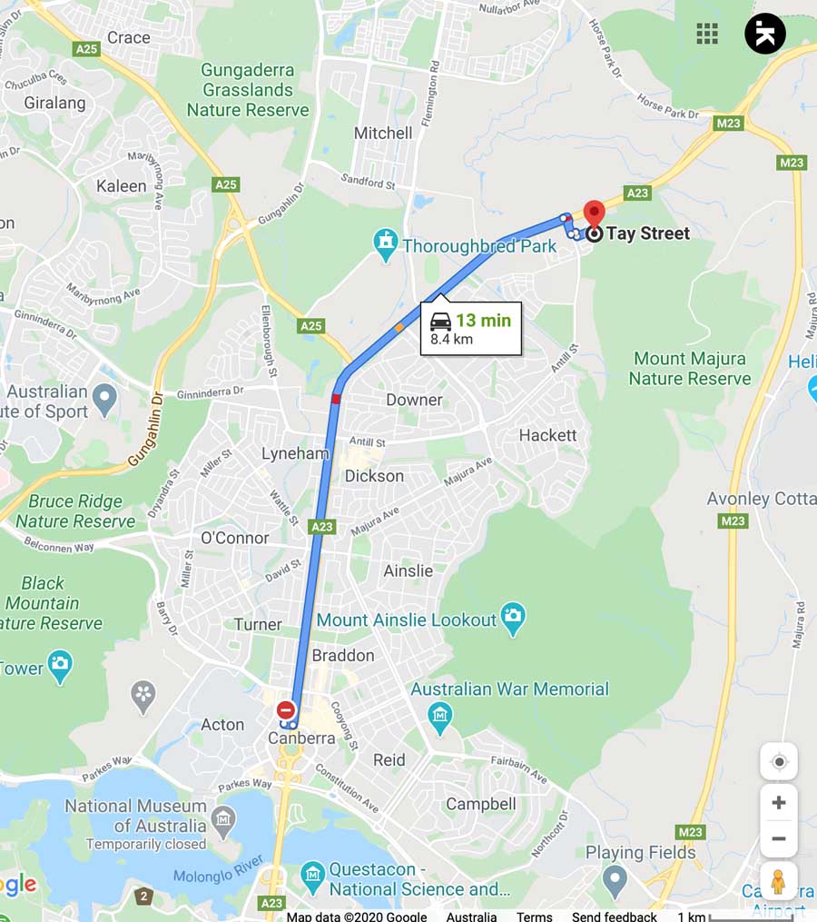
The main trailhead at Tay Street is around 8.5 km from the Canberra GPO and around a 10 minute drive. This is a newer trailhead and the car park is better suited to low slung cars
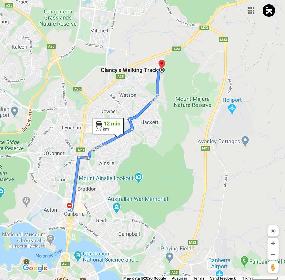
Anthill Street trailhead. Use this car park if your car has high ground clearance
Things to know
- Phone: There is good phone signal on this track
- Water: Bring your own water
- Toilets: None
- Trail: This walk is entirely on formed trail
- Dogs: Dogs allowed on a leash
- Other:
- Bring adequate shade (hat, long sleeves etc) in the hotter months
Disclaimer
This walk was undertaken by the team from Australian Hiker