Thredbo River Track NSW (9.2km)
Kosciuszko National Park
Best Time of the Year to Walk
Late November to late March
Which way
This walk can be done in a number of ways:
- Walking one way starting at Thredbo or at Cascades car park then getting picked up at the other end (4.6km)
- Doing a return walk starting at Thredbo or at Cascades car park (9.2km)
- Combining this walk with the Dead Horse Gap Track with or without the chairlift rise (10.3km)
We opted to do this walk starting at the Cascades car park and heading towards Thredbo before returning back to our car. This meant that the walk to Thredbo was mainly downhill and the return walk was on the whole uphill. Having done this walk in both directions I would strongly suggest to get a better experience you do this walk one way starting at Cascades and walking to Thredbo. We just found that we connected with the river better on the downhill run.
If you plan on combining this walk with the Dead Horse Gap Track then I would suggest starting off with the chairlift ride at Thredbo Village up to Eagle Nest, walking the Dead Horse Gap Track down to Alpine Way and then finishing the walk off with Thredbo River Track at Thredbo. This will provide an easier walk as well as providing the best views on both walks.
Thredbo River Track Review
The Thredbo River Track is as the name suggests a walk that hugs the Thredbo River. We opted to do this walk starting at the Cascades car park along Alpine Way and walking downhill to Thredbo before returning back to our starting point. Doing this walk this way makes for a harder second half of the walk but it’s easier to park provided you get an early start to the day.
This walk is on formed trail which includes natural surface, steps and small sections of mesh. Starting at the Cascades Trailhead the walk to Thredbo Village is mainly downhill with sections that are almost flat along and some very small sections of uphill. This walk runs straight down the valley and stays very close to the river rarely straying far. Much of the upper section of this walk is also close to Alpine Way and as such you get a bit of traffic noise. This doesn’t last for long and the traffic noise disappears very quickly and replaced by the noise of the river itself.
Animal life was almost none existent on the day we did this walk mainly consisting of small lizards sunning themselves on the trail. On the return trip we saw two Highland Copperhead Snakes, also sunny themselves until we disturbed them. While we didn’t see any birds we could definitely hear them. Plant life in early autumn saw some species in flower but we weren’t walking at the peak flowering season.
The trail itself crosses over a number of small bridges and there’s even a small lookout that takes in the key waterfall along the way (see the trail slideshow below). The sign you are reaching Thredbo Village is when you start to pass the Thredbo Golf Course.
Signage is limited along this trail with the occasional marker post as you go. The thing to remember is that you’re staying very close to the river so if in doubt keep this in mind and you want stray off trail.
Once we reached the Crackenback Road at Thredbo Village it was time to turn around and make our way back to our starting point. For us the trip back just didn’t have the same feel and we didn’t feel as connected with the river so if you are only walking this track one way, start at Cascades and walk to Thredbo.
All up the return 9.2km trip took us approximately 3 hours and 15 minutes but we weren’t pushing the pace and took time to sit on the occasional seat as we went.
This is a lovely hike, accessible to most hikers and well worth doing.
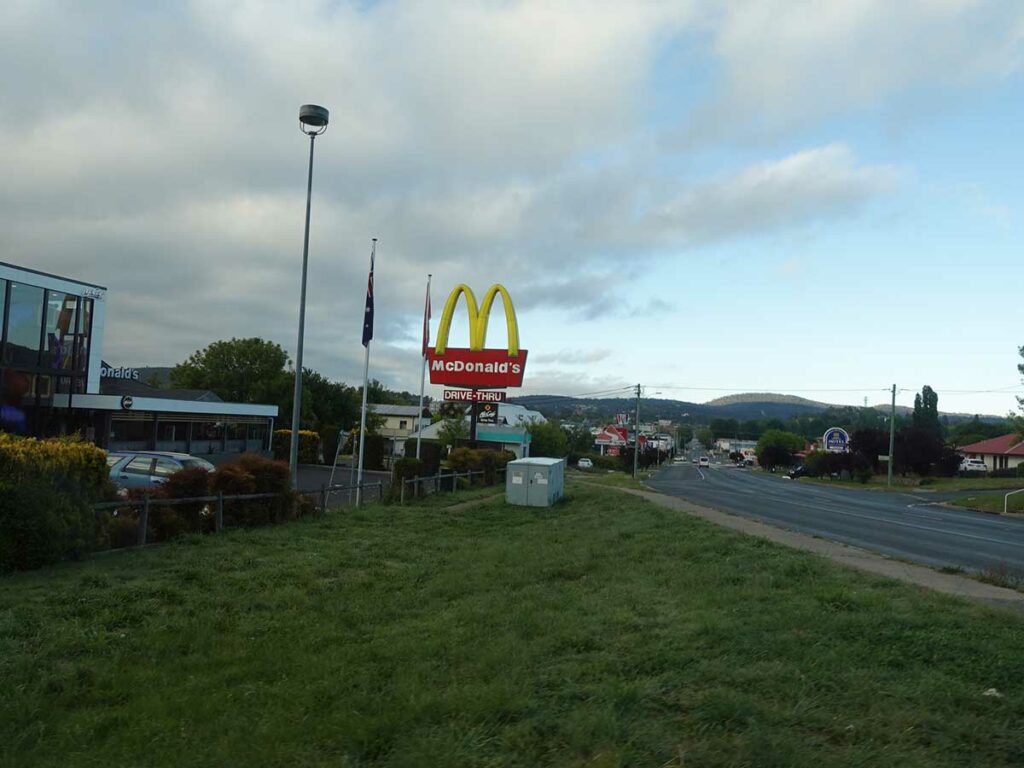
Maccas at Cooma, our usual breakfast stop
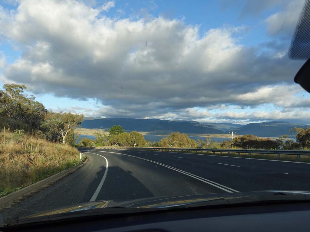
Approaching Lake Jindabyne

Drive past both entry points for Thredbo Village
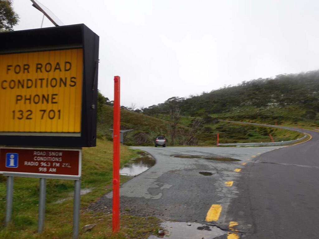
Pull into the car park for the Cascades trailhead
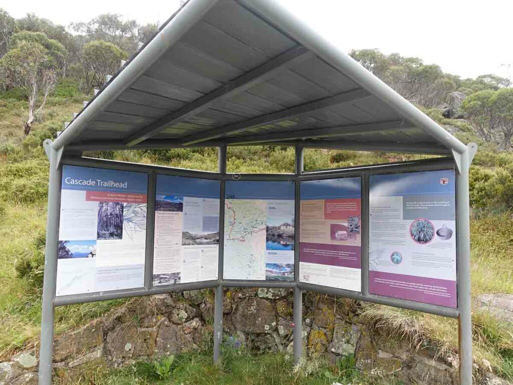
Cascade Hut trailhead information kiosk

Walk across the road and turn left downhill

Away we go on the Thredbo River Track

Thredbo River at the start of the trail

Temporary bridge (2 large adults at a time!)

Trail signage. Veer to the right onto the Thredbo River Track. Going left will take you onto the Dead Horse Gap Track

Still a bit cold this early in the morning

Gill on the Thredbo River Track

Eucalyptus, the dominant tree on this trail

Trail example on the Thredbo River Track

Paper Daisy

Trail example

Small waterfall and lookout

Gill at the lookout

River view

Bridge on trail

Trail example 2

And another bridge
Gill on the Thredbo River Track

Thredbo Gold Course

Bench near Thredbo

River at Thredbo Village

Bridge into Thredbo Village

Thredbo trail end

Heading back

Trail example on the way back

Back to Alpine Way

Almost back to the Cascades trailhead

Back to the Cascades trailhead car park which is also the car park for the Dead Horse Gap Track and the Thredbo River Track
Trail video
This short video contains photos and videos to show you the walk from start to finish
Getting There
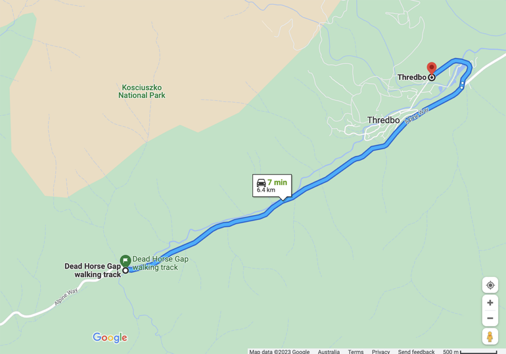
Google Map from Thredbo Village to the trailhead which is a distance of approximately 6.5km
Things to know
- Phone: Phone signal is variable on this trail (Telstra), data signal is variable
- Water: Bring your own water, otherwise filter from the river
- Toilets: There are toilets in Thredbo Village
- Trail: This walk is on formed trail
- Dogs: Dogs not allowed
- Camping: Camping not allowed
- Other:
- Unless you are into snow snowshoeing or skiing, do this walk late November to late March. Even then, check the conditions just in case
- Check the weather conditions – snow is possible in most months of the year
- Bring a broad brimmed hat, long sleeved top and long pants as the UV index can be brutal in the Alps (see below)
- Wear long sleeves and pants to ward off the March Flies
- This trail can be done as a one way or return adventure
Disclaimer
This walk was undertaken by the team from Australian Hiker