Mount Jerrabomberra NSW (3.8km)
NSW
Nearest Town
The closest suburb to the trailhead is Jerrabomberra, NSW
Starting Location
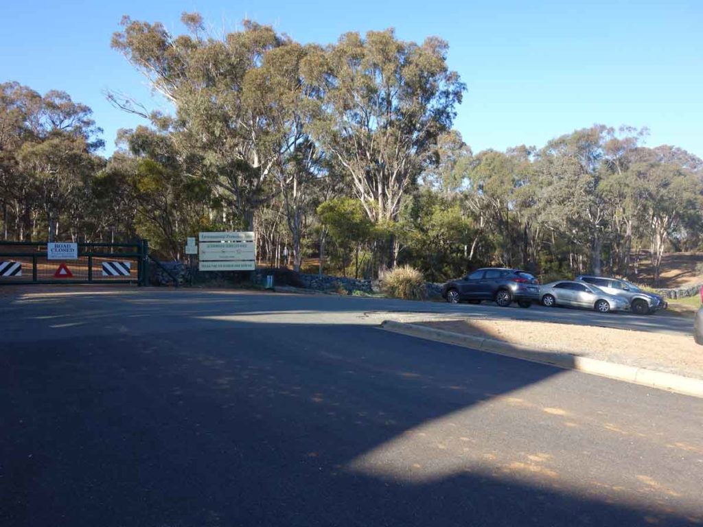
Trailhead car park just up Jerrabomberra Hill road which is off Halloran Drive, Jerrabomberra NSW
Finish Location
Trail head car park just up Jerrabomberra Hill Road which is off Halloran Drive, Jerrabomberra NSW
Best Time of the Year to Walk
Year round
Mount Jerrabomberra Summit Walk Review
Mount Jerrabomberra is located just on the NSW side of the NSW/Australian Capital Territory border. The lookout at the summit which is your destination provides excellent views over the NSW city of Queanbeyan but given the shape of the hill and the treed slopes, views from the summit aren’t only where this walk really shines – views provided on the way back down are superb. This mountain is well isolated and adjacent to a large open grassy plain and you get to see the nearby ACT summits of Black Mountain, Mount Ainslie and Mount Majura, as well as views out towards the distant Brindabellas.
The walk starts in a small car park at the trailhead located in the residential suburb of Jerrabomberra. Park in the car park and enter through the gap in the gate before taking a left turn up the hill. You will come to a T intersection a few hundred metres in and at this point you’ll again take a left turn and follow the management road past a large water tank (on the left) all the way up to the upper water tanks that sit not far from the summit. There is a water bubbler at this intersection which is a rarity on walking trails in this region. The other thing worth noting about this walk is that the management road which makes up most of this walk, is the best I have seen in the Canberra region; it was smooth and well maintained at least on the day we did this walk.
As you approach the summit you will see a series of obvious stone steps that will take you the last short distance to the lookout that sits on the edge of the summit with the high point containing a cellular phone tower. The lookout has a small metal viewing platform, seating and descriptive viewing information that highlights the main features of Queanbeyan below.
The return route back down the mountain can either be back down the stairs or for a bit of difference you can walk past the cellular tower and head back down on the management road. This descent will take you back to the base of the stairs where you will return to the car park the way you came. The descent provides some excellent views through breaks in the trees at various points on the way down.
The birdlife on the walk was everywhere and in addition the occasional wallaby can be spotted just off the side of the track but only if you pay attention. The vegetation on this trail also has a very different feel to it than other walks I have done in this region and I was amazed at the changes you can get within a relatively small region.
This summit walk is well worth doing and in talking to hikers who live in the area and use this mountain for their local walks, there are lots of opportunities to explore the rest of the reserve via side tracks and alternate walks.
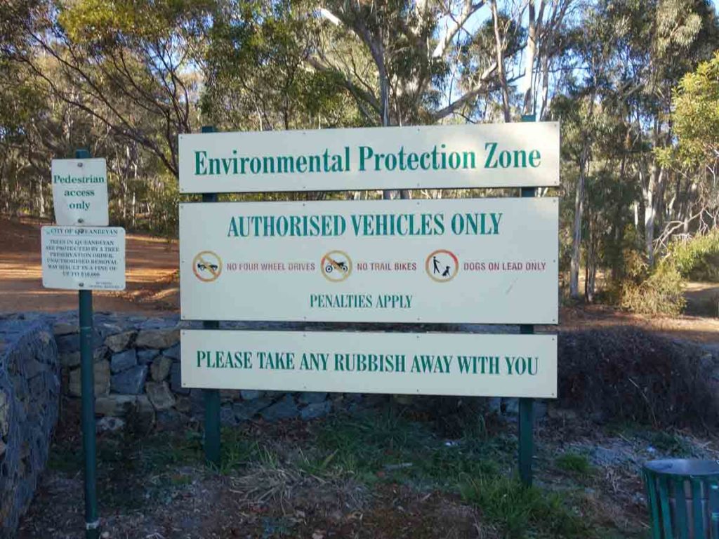
Trail signage. Dogs are allowed on a leash. While they would prefer you to take rubbish away there is a bin at the trailhead car park
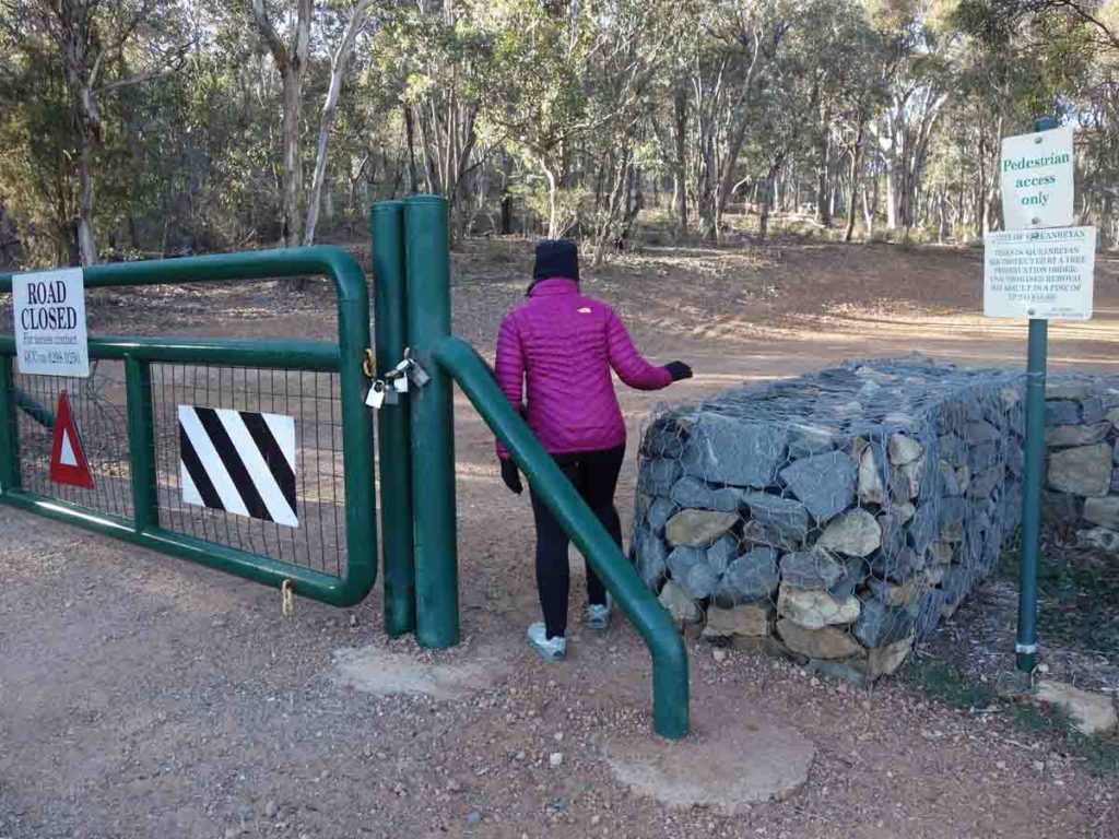
Through the gate at the trailhead
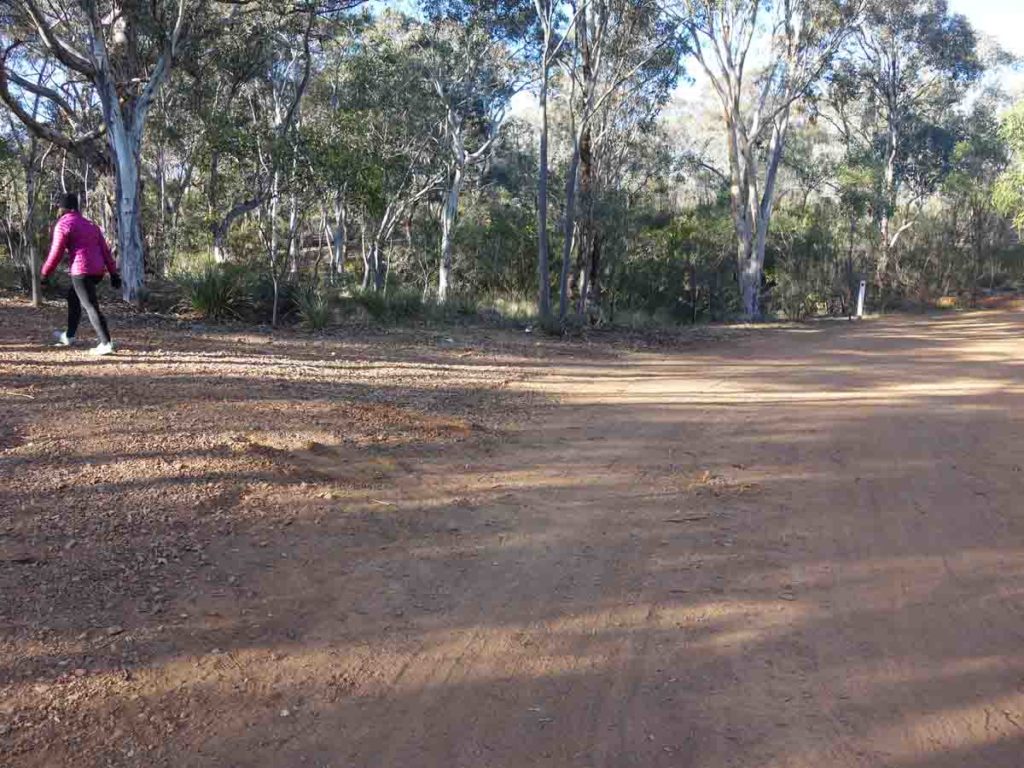
Then veer left
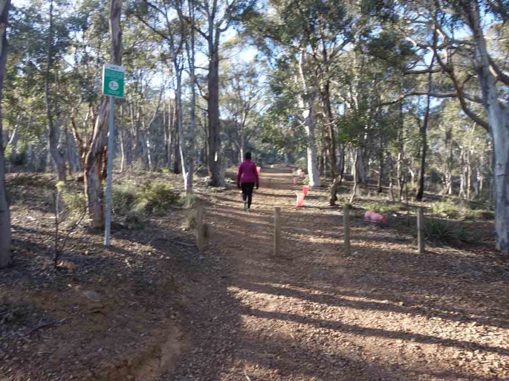
Head up the hill
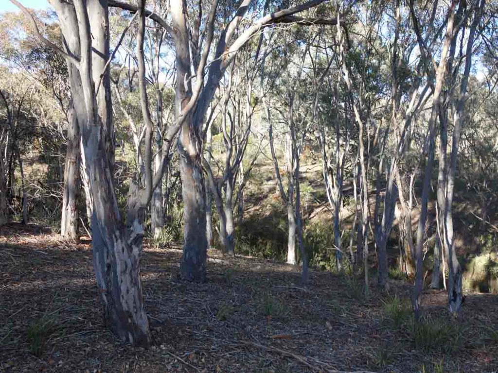
Bush off the side of the trail
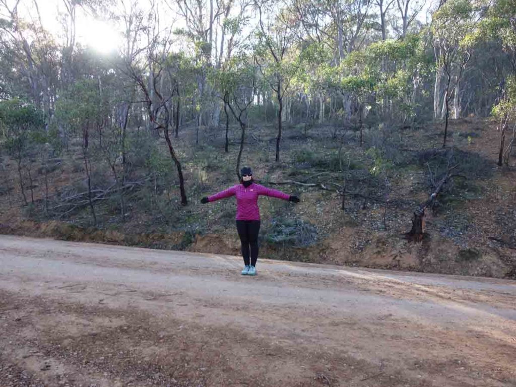
Turn left at the T intersection
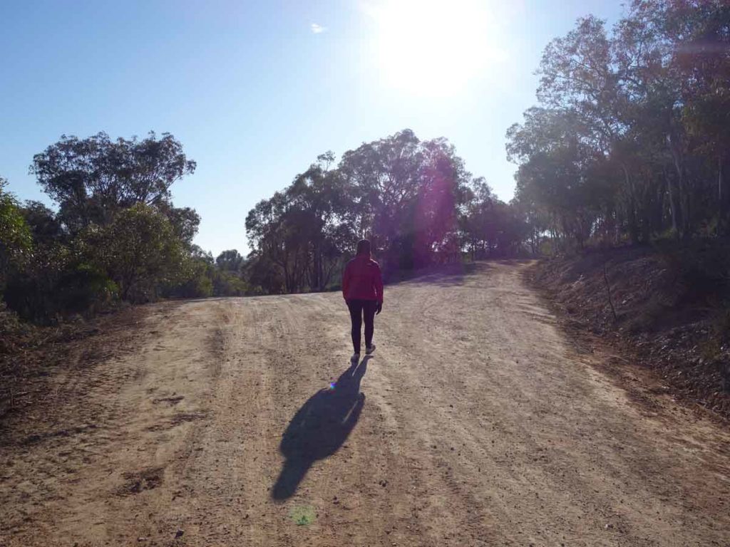
Keep right as you head up the hill. Left at this point will take you down to a service area
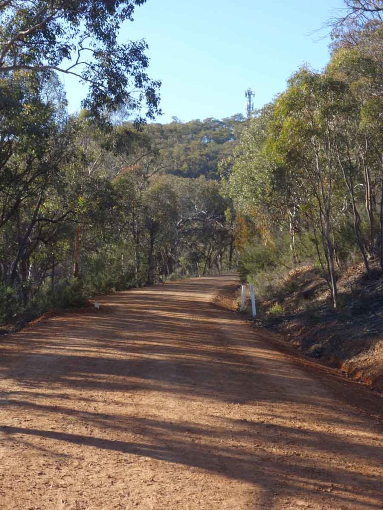
View to the summit (phone tower). This road is in unbelievably good condition
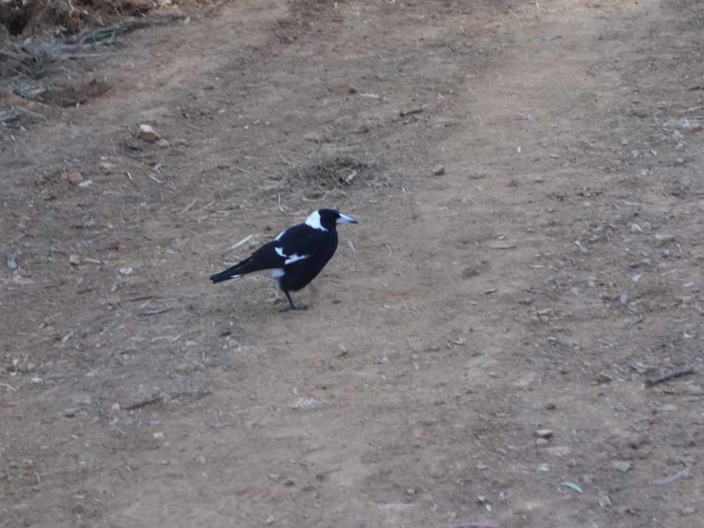
There is a lot of birdlife on the trail including the familiar magpies
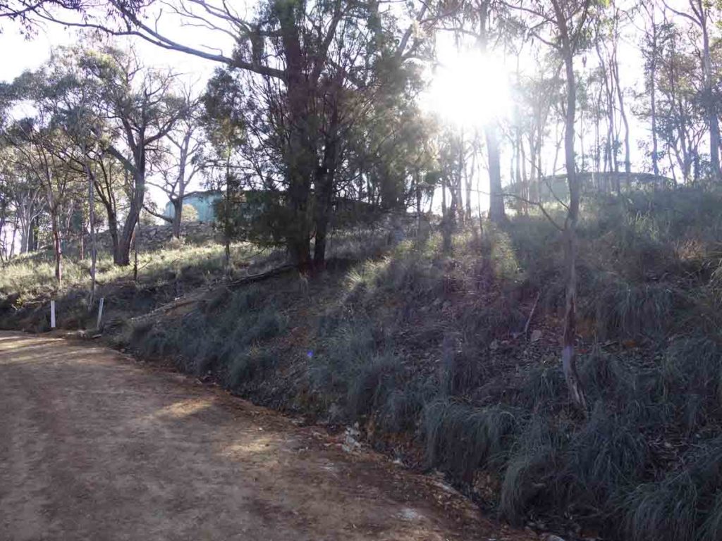
Water tanks just below the summit
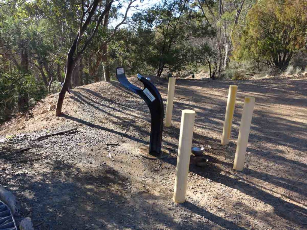
Water bubbler on the trail near the water tanks, just below the summit
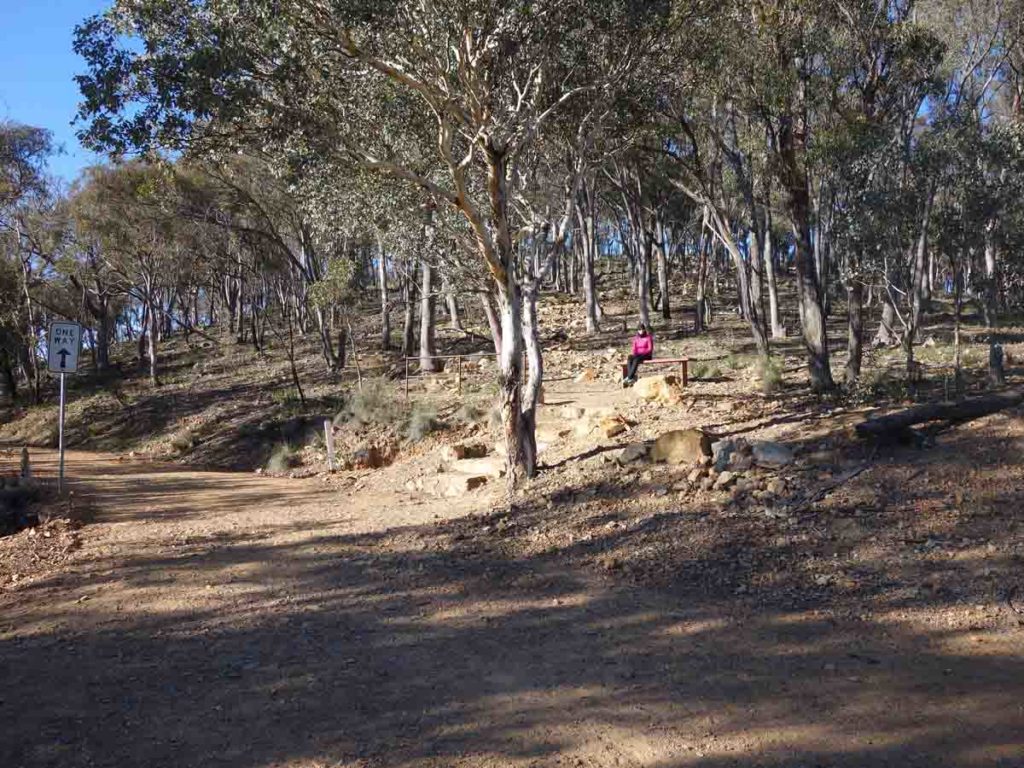
Up the stairs
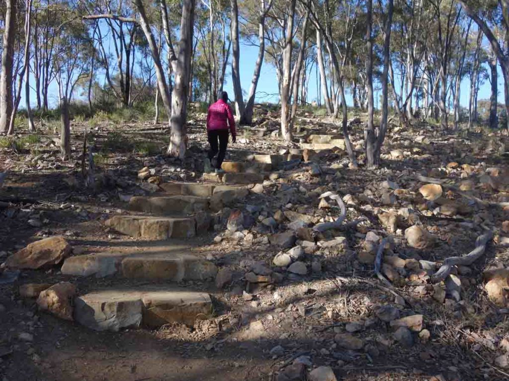
Stairs up to the summit
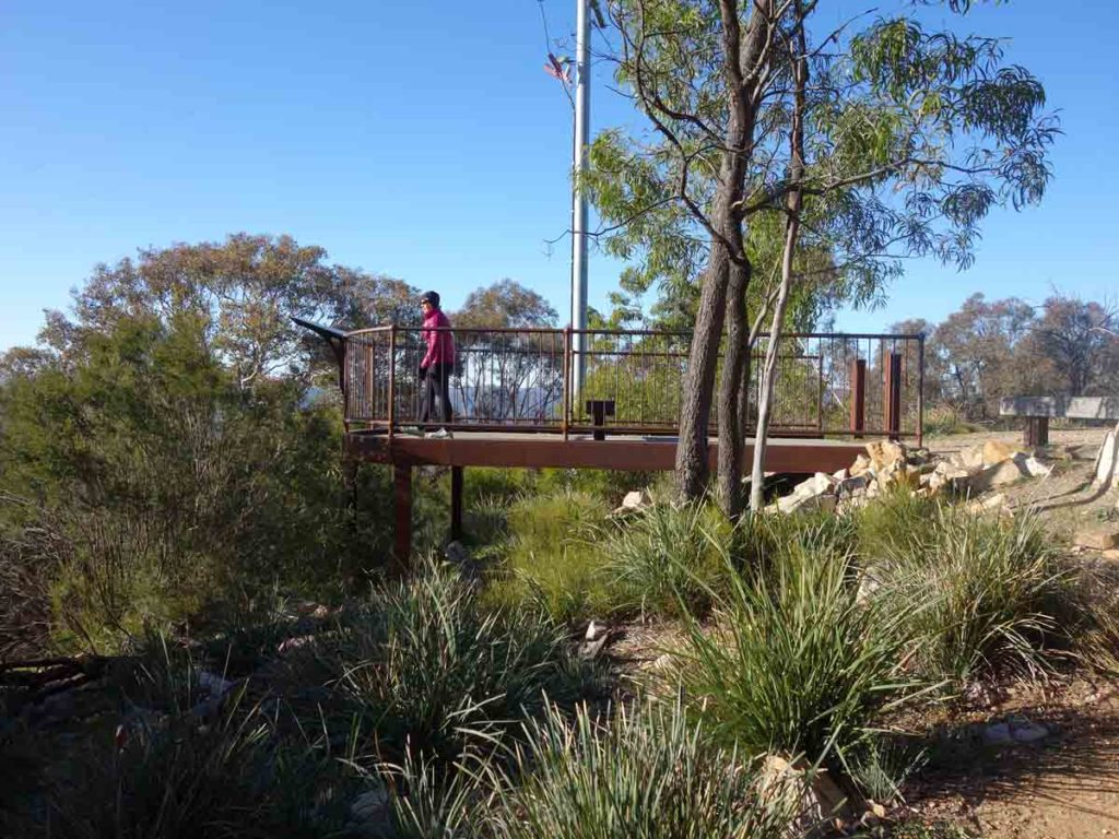
Summit lookout
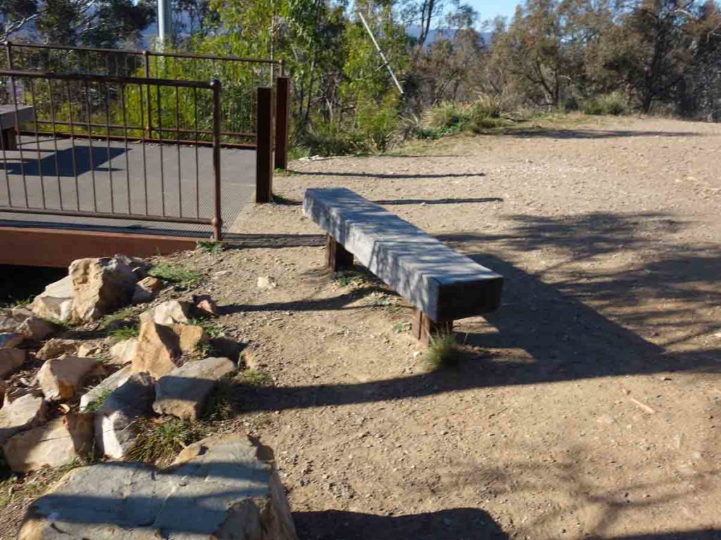
Seating at the summit – there are a couple of options here
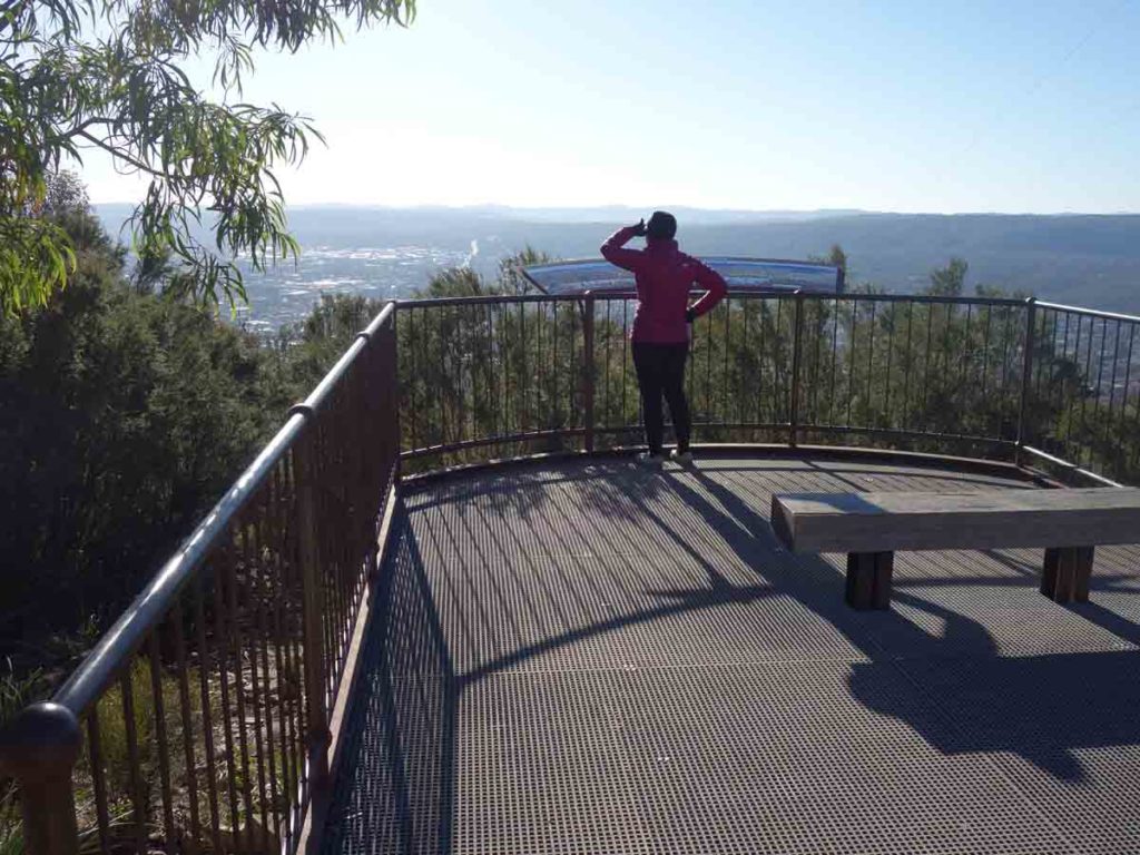
Views over Queanbeyan
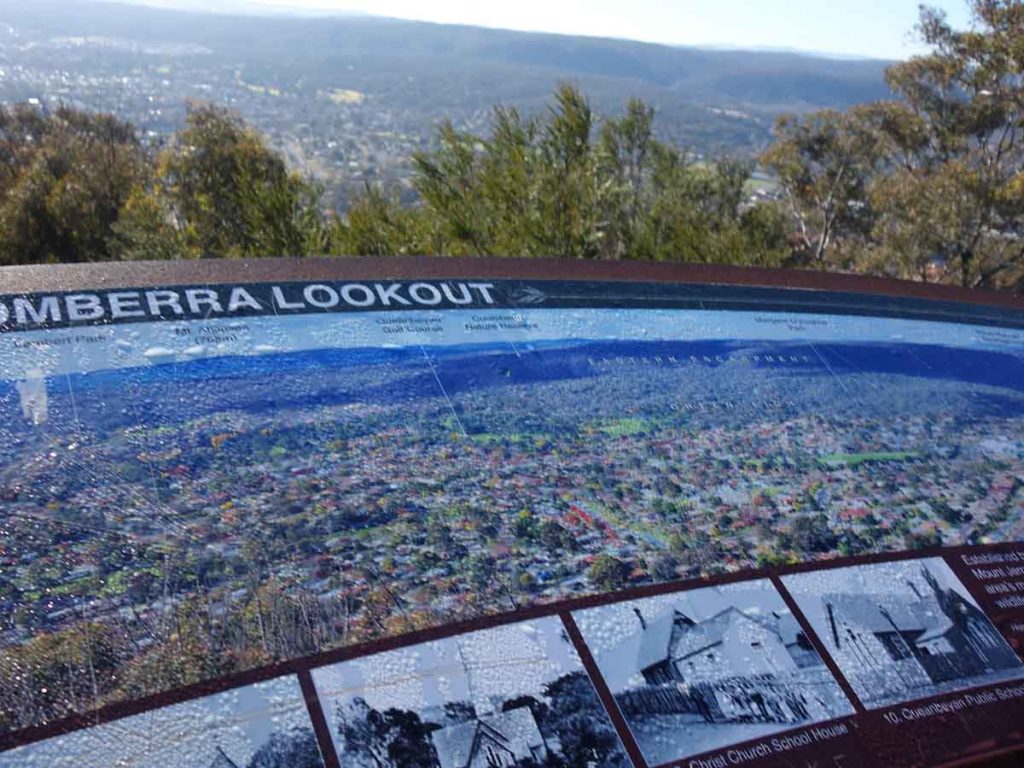
Interpretation signage at the summit
Views over the city of Queanbeyan from the lookout at the summit of Mount Jerrabomberra

Great views through the trees
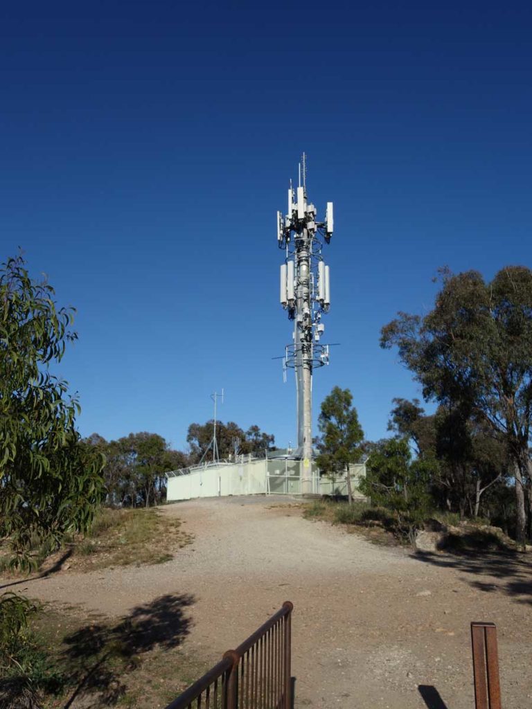
Cell phone tower just behind the lookout
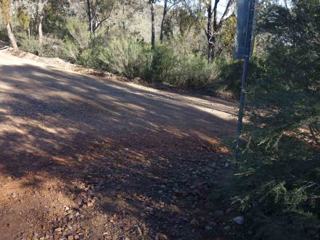
You can either head back down the stairs the way you came or avoid the stairs by using the road which will take you back to the junction at the water bubbler
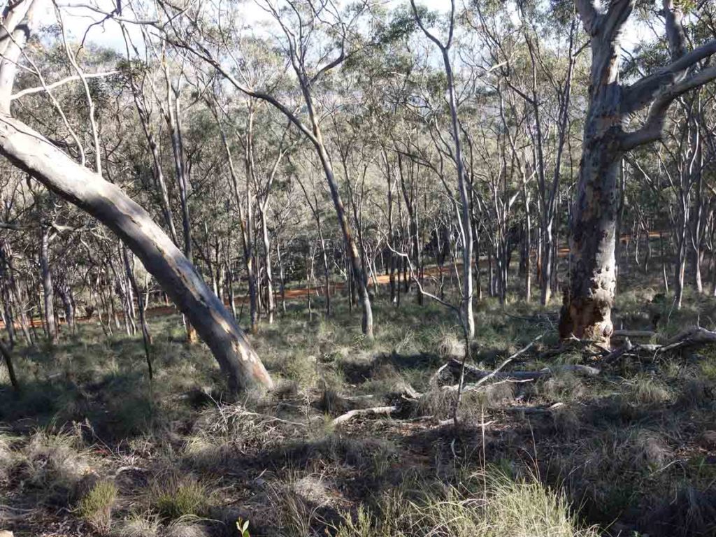
View down through the trees to the next road
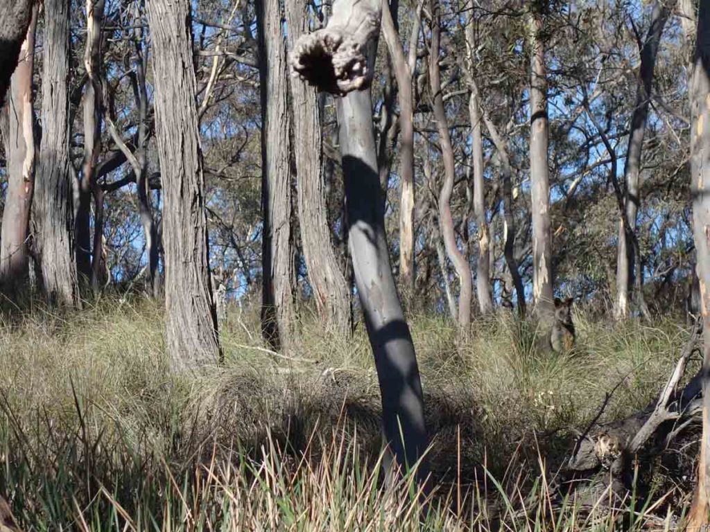
Look closely – there is a wallaby in the grass
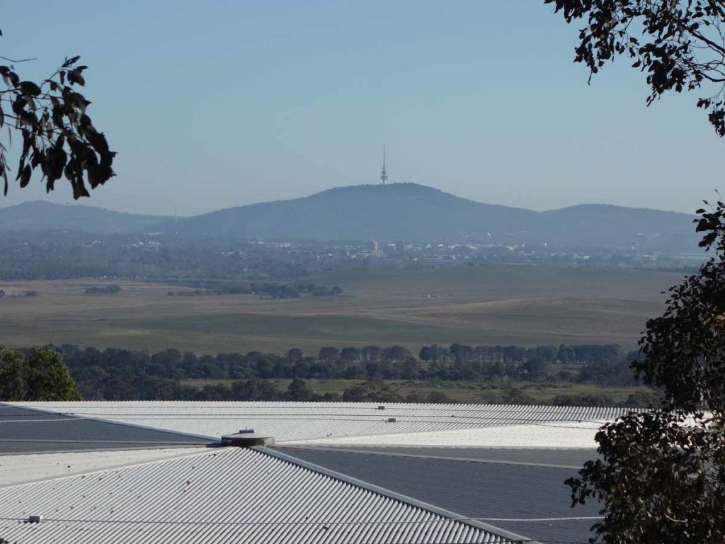
Views to Black Mountain in Canberra looking over the lower water tank
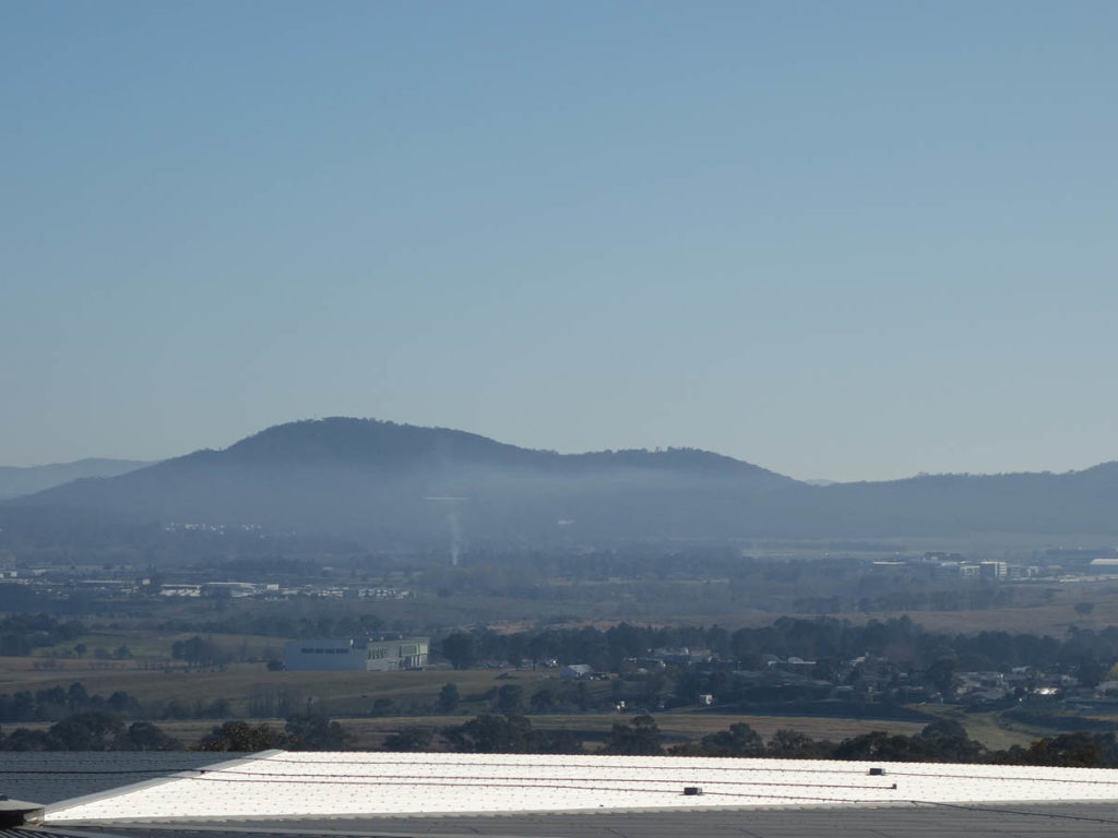
Views to Mount Ainslie and Mount Majura
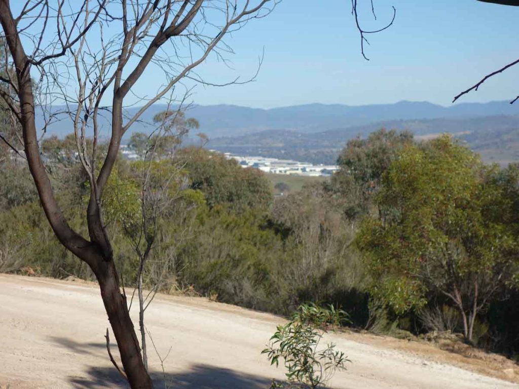
Views to Hume industrial estate and the Brindabella mountains in the background
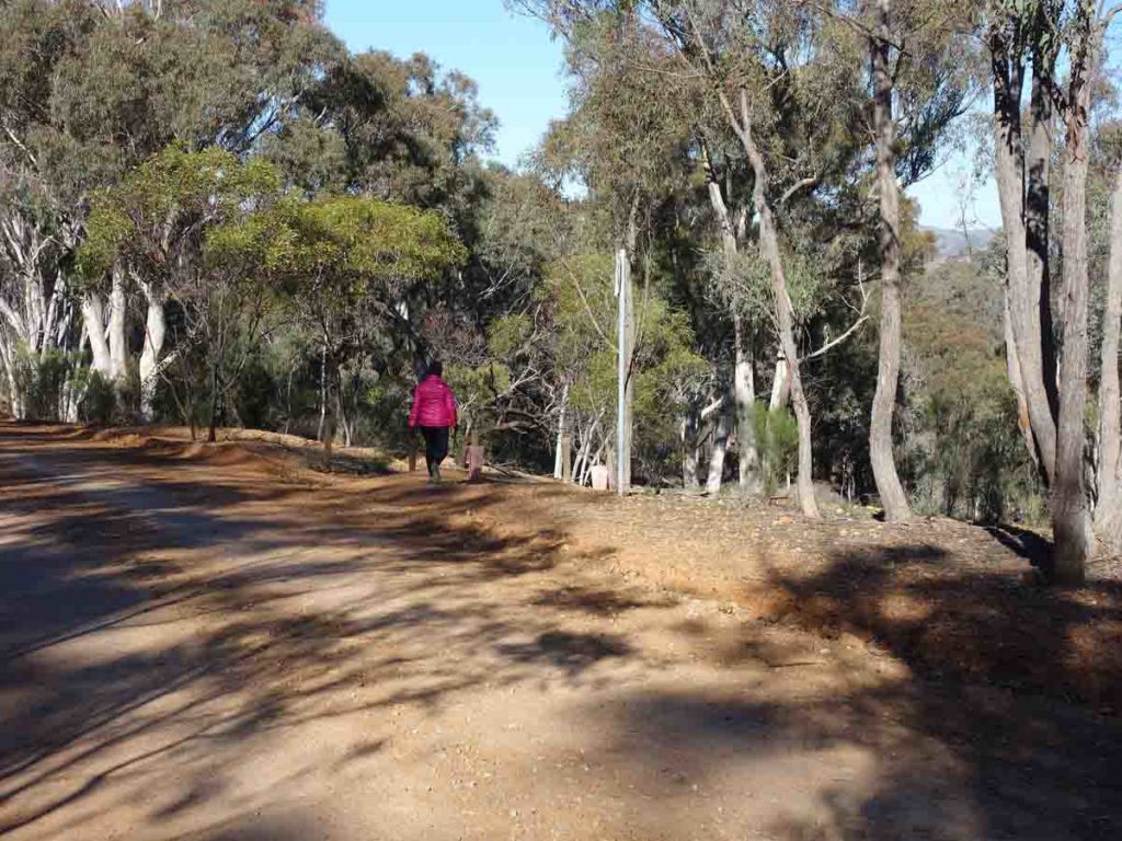
Turn off to the right
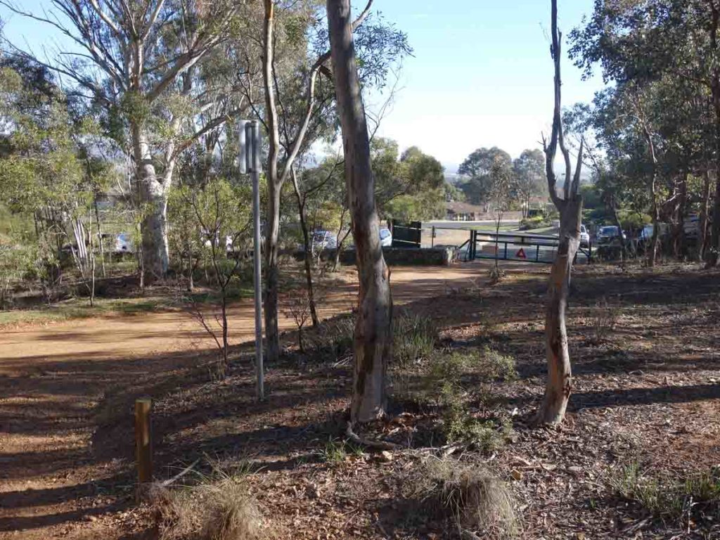
Back to the car park
Getting There
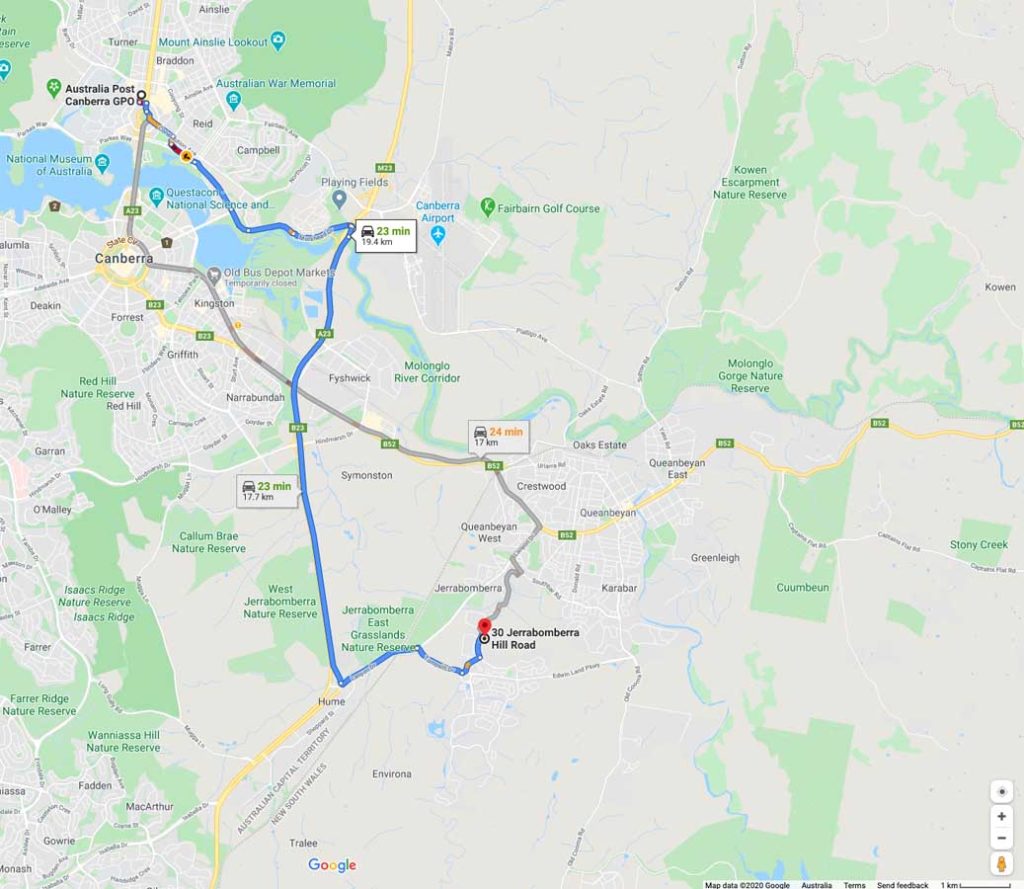
The main trailhead car park is just up Jerrabomberra Hill Road which is off Halloran Drive, Jerrabomberra NSW. This trailhead is around 20 km from the Canberra GPO and around a 25 minute drive
Things to know
- Phone: There is reasonable phone signal on this track
- Water: You need to bring your own water although there is a water bubbler close to the summit
- Toilets: There are no toilets on this trail
- Trail: With the exception of a short section up to the summit, this trail is on management road
- Dogs: Dogs are allowed on a leash
- Camping: No camping allowed
- Other:
- This walk is done as an out and back return

Trailhead and car park. This car park isn’t huge but will fit around 8 cars
Disclaimer
This walk was undertaken by the team from Australian Hiker