Black Mountain Woodland Walk ACT (2.6km)
Canberra Nature Reserve
Nearest Town
The closest suburb to the trailhead is Aranda, ACT
Starting Location
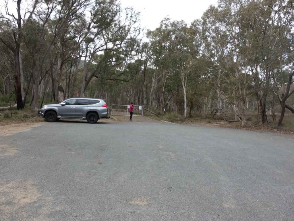
Trailhead car park along Caswell Drive (base of Black Mountain), ACT
Finish Location
Trailhead car park along Caswell Drive (base of Black Mountain), ACT
Best Time of the Year to Walk
Year round
Black Mountain Woodland Walk Review
The Black Mountain Woodland Walk in the centre of Canberra is by no means an overly long walk at 2.6 km and is not as well known as the Black Mountain Summit Walk but is well worth doing all the same. There are two options for a starting location with the best one being the car park along the base of Black Mountain on Caswell Drive. This roadway is a major arterial road and is separated in the middle by a concrete divider so if you want to use this option then you need to approach it from the Belconnen Way end. If you are coming from around Lake Burley Griffin or from the Tuggeranong Valley, then there is another car park on the other side of Caswell Drive -park there and the starting point is accessed by walking through the underpass (i.e. under the roadway).
If you are doing this walk it’s best to avoid peak hour so you have an easy opportunity to pull off the road without feeling pushed.
If you do this walk in an anti clockwise manner the first half of the walk is very easy and relatively flat but once you start to loop back around, the top half of the walk is uphill and will make you puff in a couple of sections (see elevation image below). On the top half of the trail there is a designated vantage point with seating that provides views down the Tuggeranong Parkway (road), towards the Arboretum, the Governor General’s residence and over to Mount Painter.
The trail continues to undulate from here but isn’t overly strenuous before coming across a bush trail on the left of the track which connects you back to the road you walked out on. Overall the majority of this trail is on management track. On the day we did this walk, the bird and animal life was non existent but typically you would expect to see the odd kangaroo or wallaby and definitely some birds. The vegetation on this trail is open Eucalyptus forest on the whole with some grassy areas along the lower section of trail.
This is a great short walk with within a stones throw of the centre of Canberra and one that is very popular with local walkers and trail runners alike.
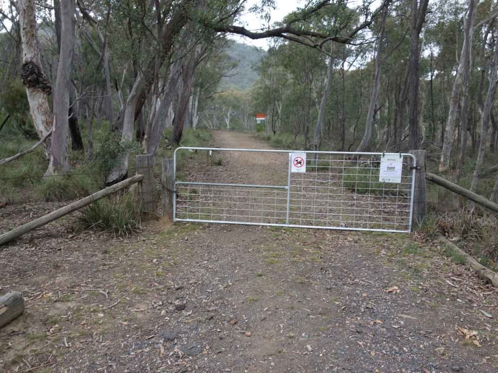
Entering through the gate is one option
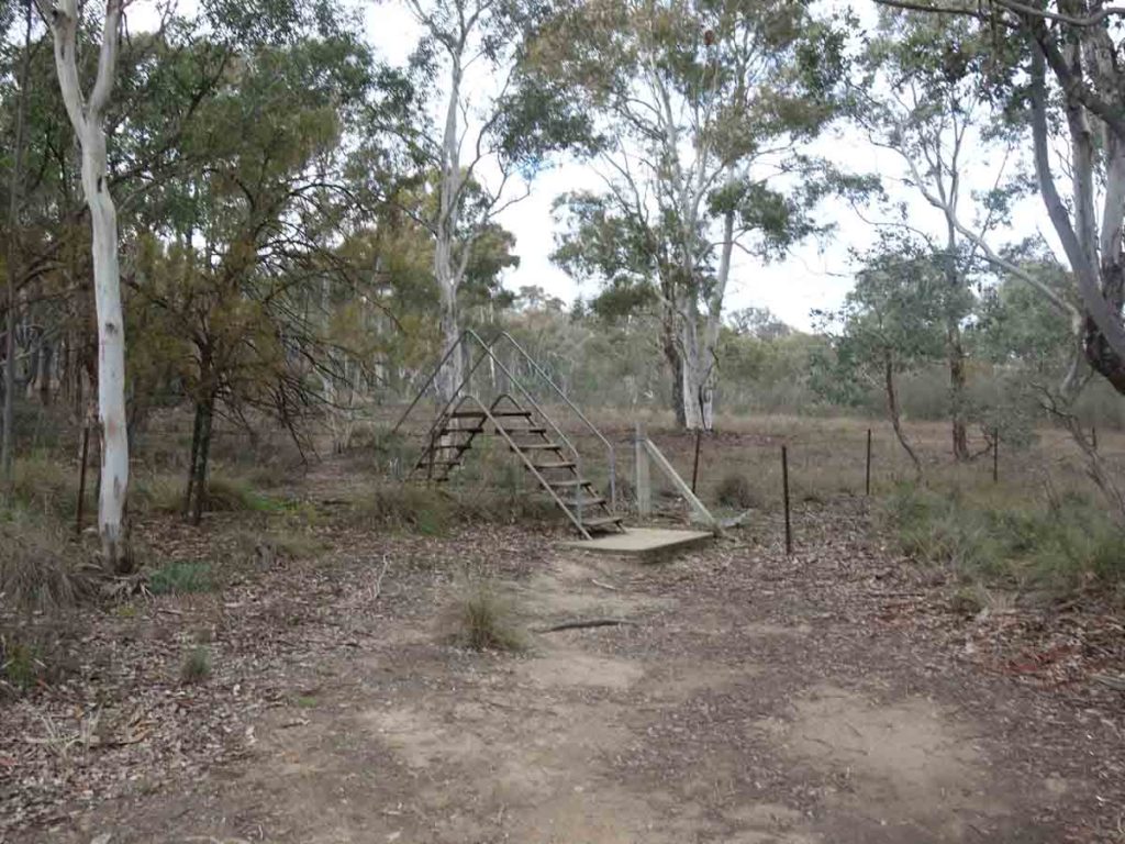
There is also a stile about 8 metres right of the gate
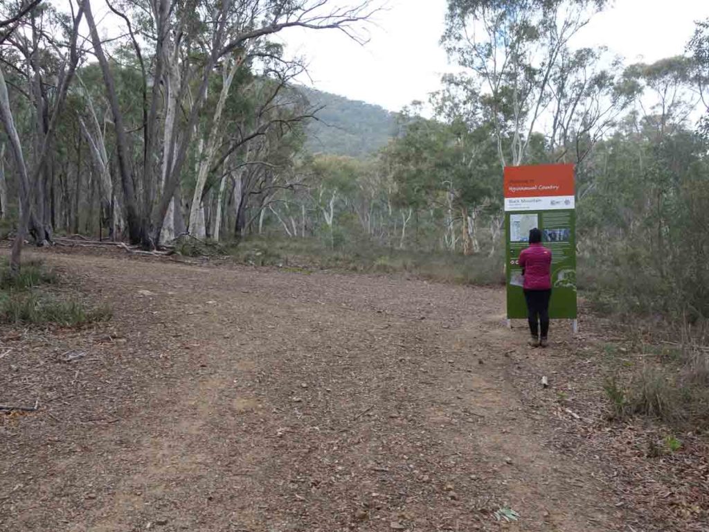
Trailhead signage not far from the gate

Information signage
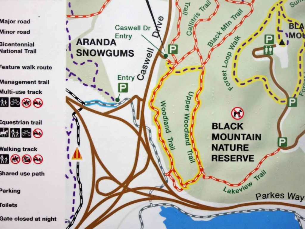
Site map at the trail information. Turn right at this intersection
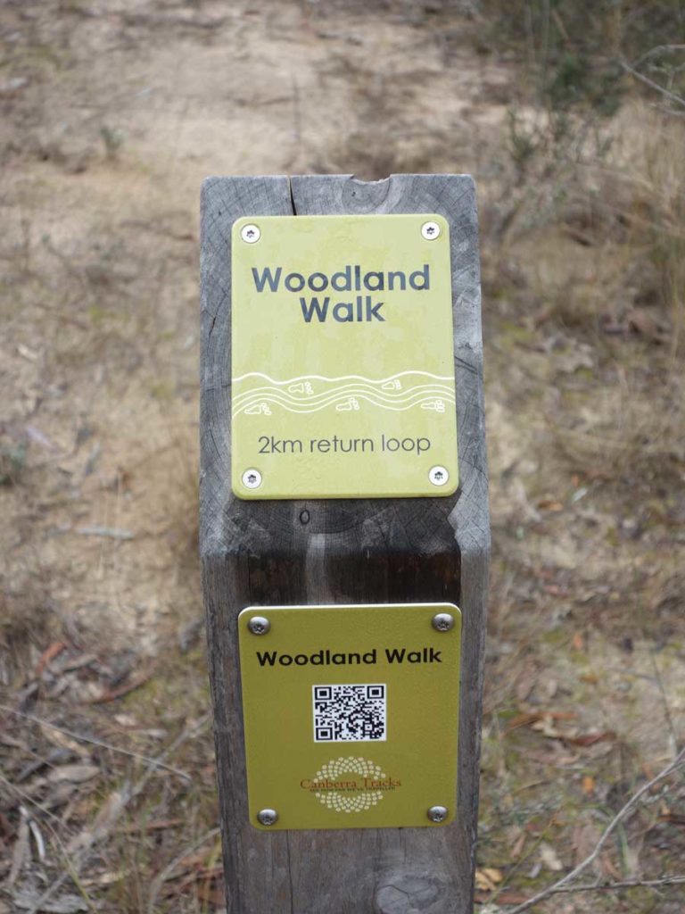
Trail marker and QR code
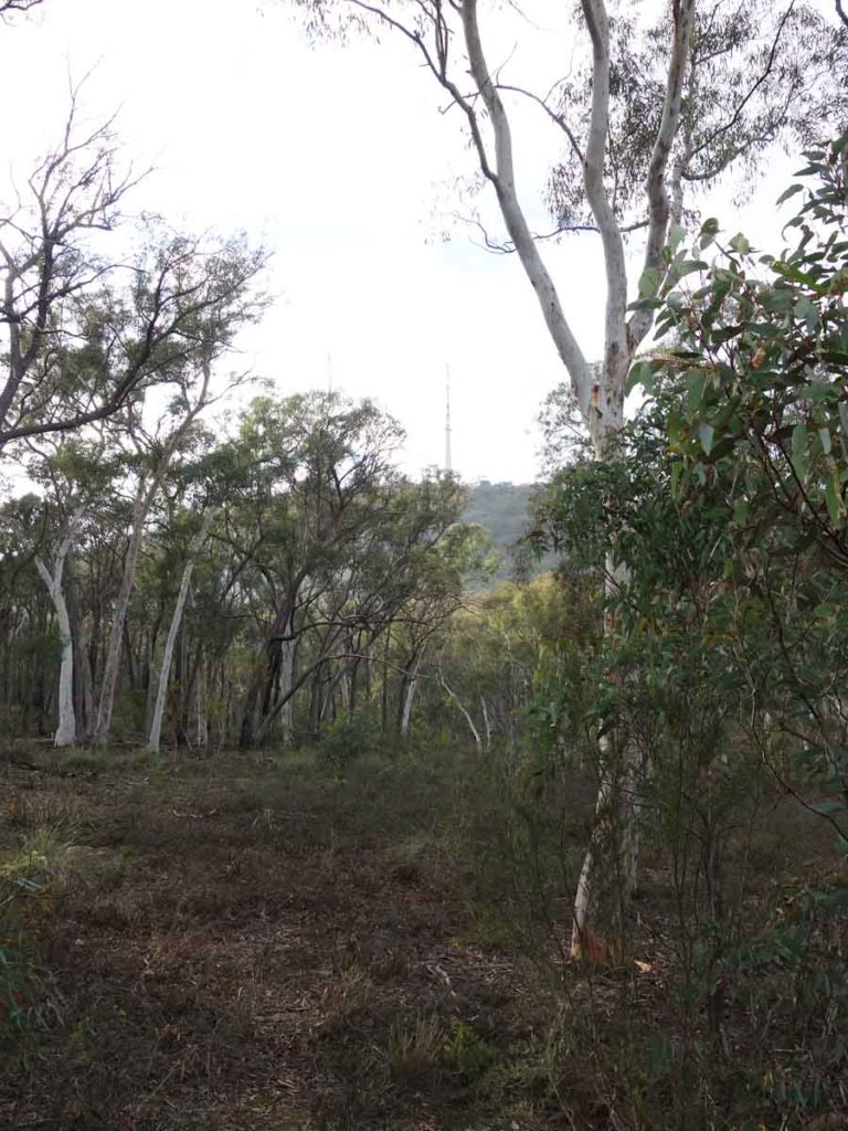
View of Black Mountain

Not far into the walk you will see this turnoff. We went straight ahead and the image below shows the elevation profile. Have a look at the image below – if you turn left here your walk will look very different.
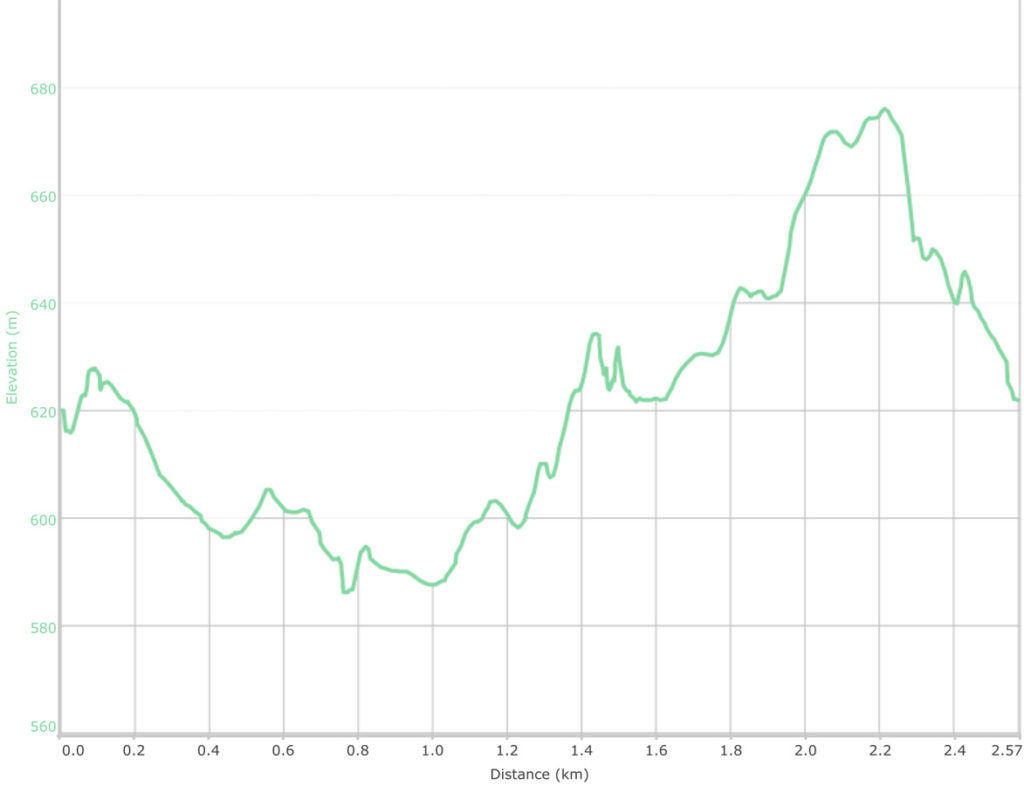
Elevation profile for the Black Mountain Woodland Walk – as done in an anti clockwise manner
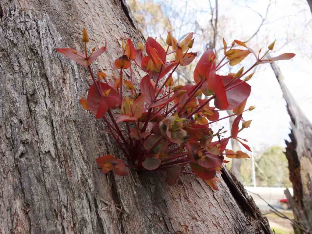
Regrowth on some of the Eucalyptus after a particularly dry period

Trail marker on the side of the management road
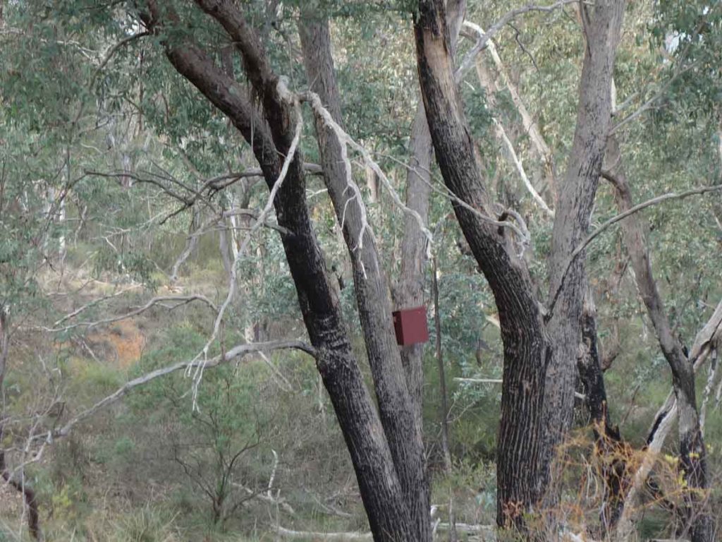
Bird box in the trees just off the trail

Alternate entry gate. If you park at the car park on the other side of Caswell Drive, which you will do if you are coming around the lake or from the direction of Tuggeranong direction, then you will use this entry point

Car park on the other side of the road
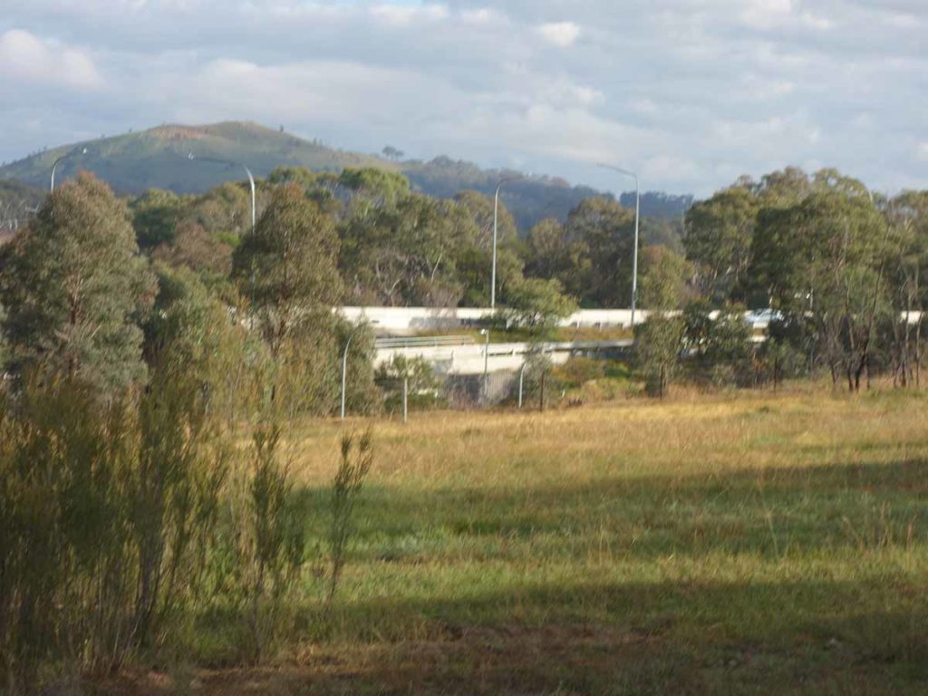
Underpass just visible in the midle of the image
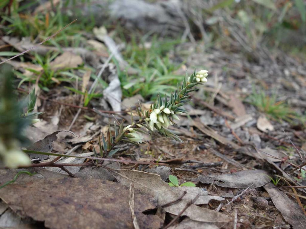
Look for the small stuff on the trail
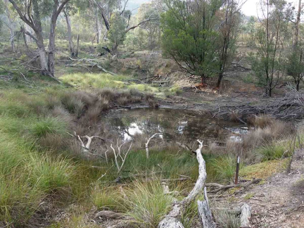
Dam on the trail, not very full at the moment
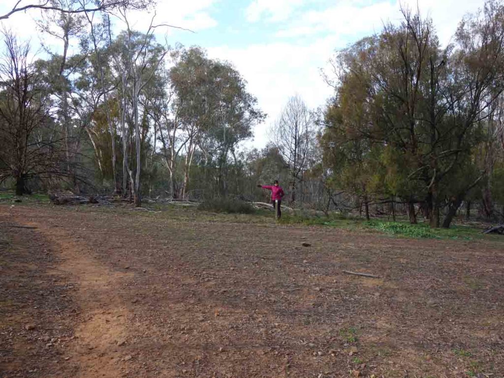
Turn left at this intersection and follow the signage. From here on, the track is mainly uphill
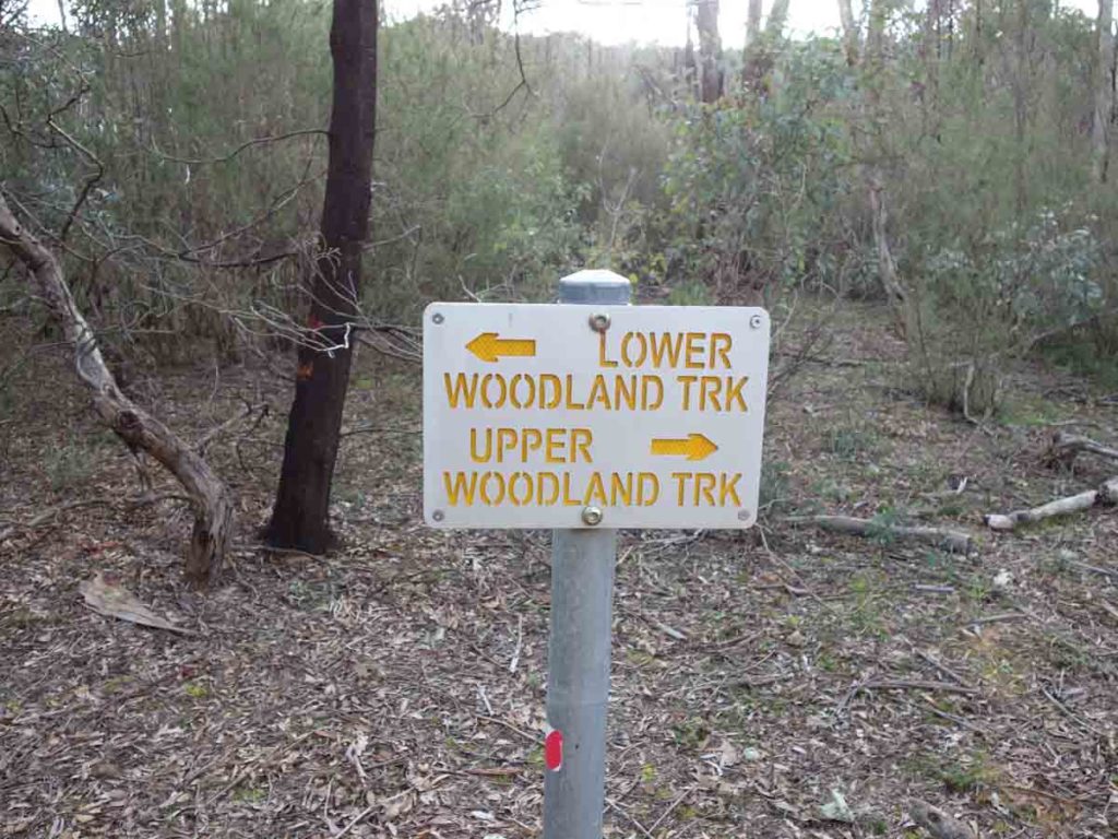
Trail signage
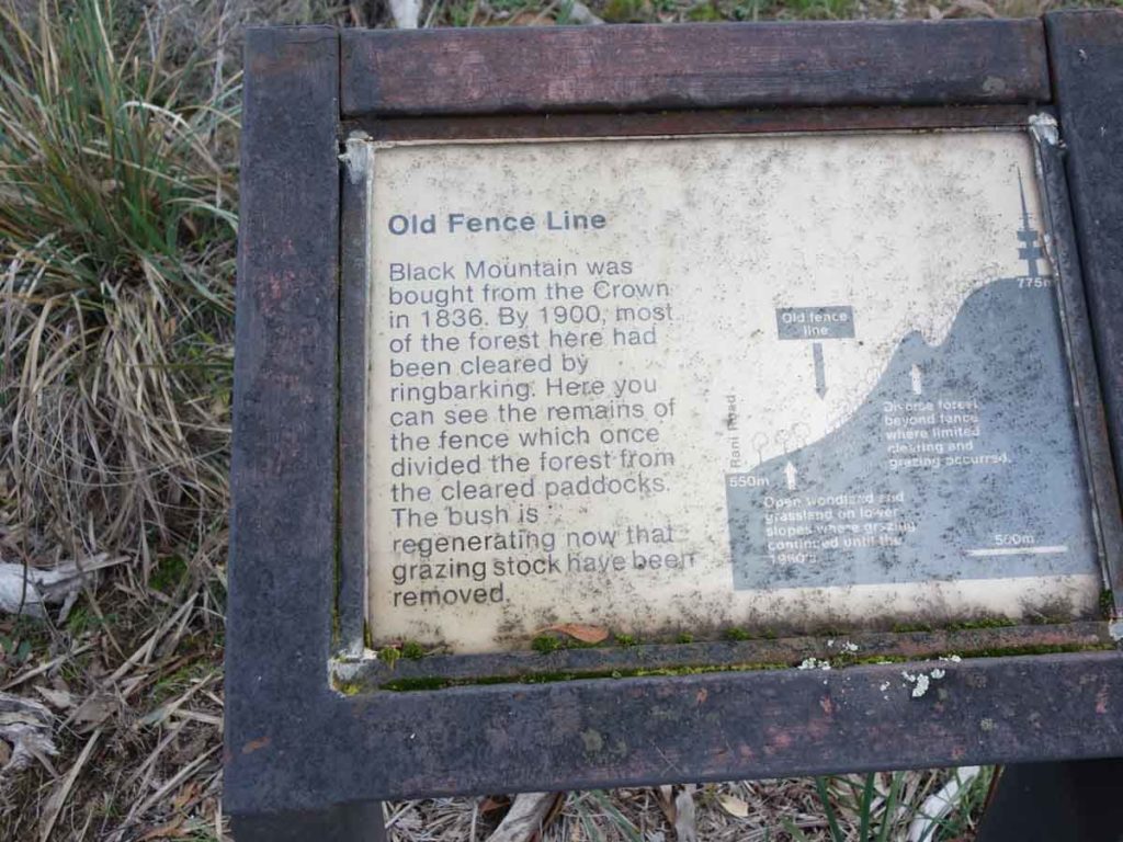
Canberra heritage. We could only find one fence post at this site
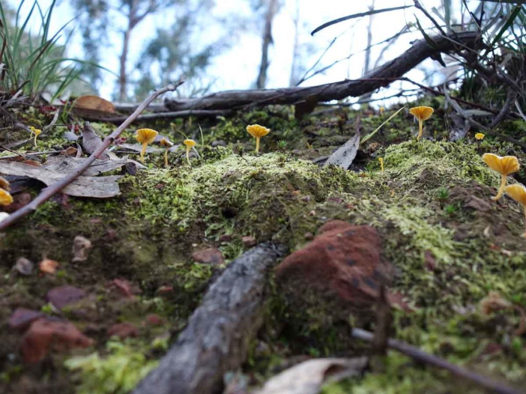
Fungi on the trail
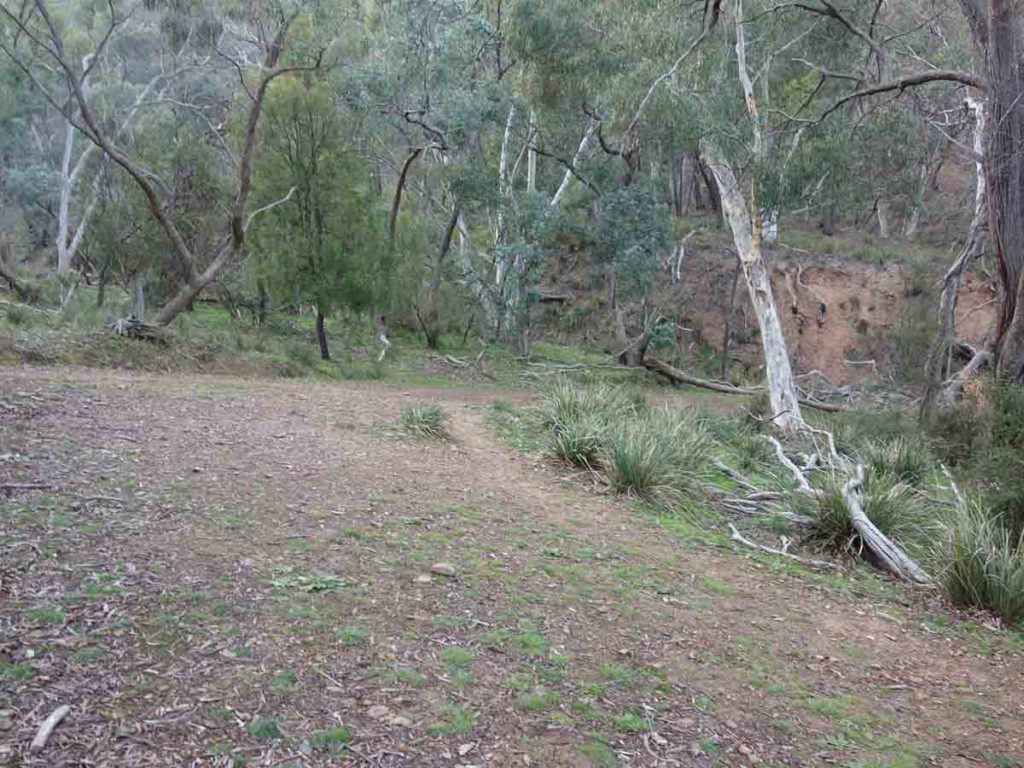
Lakeview Trail off to the right. Don’t take this trail unless you feel like a detour
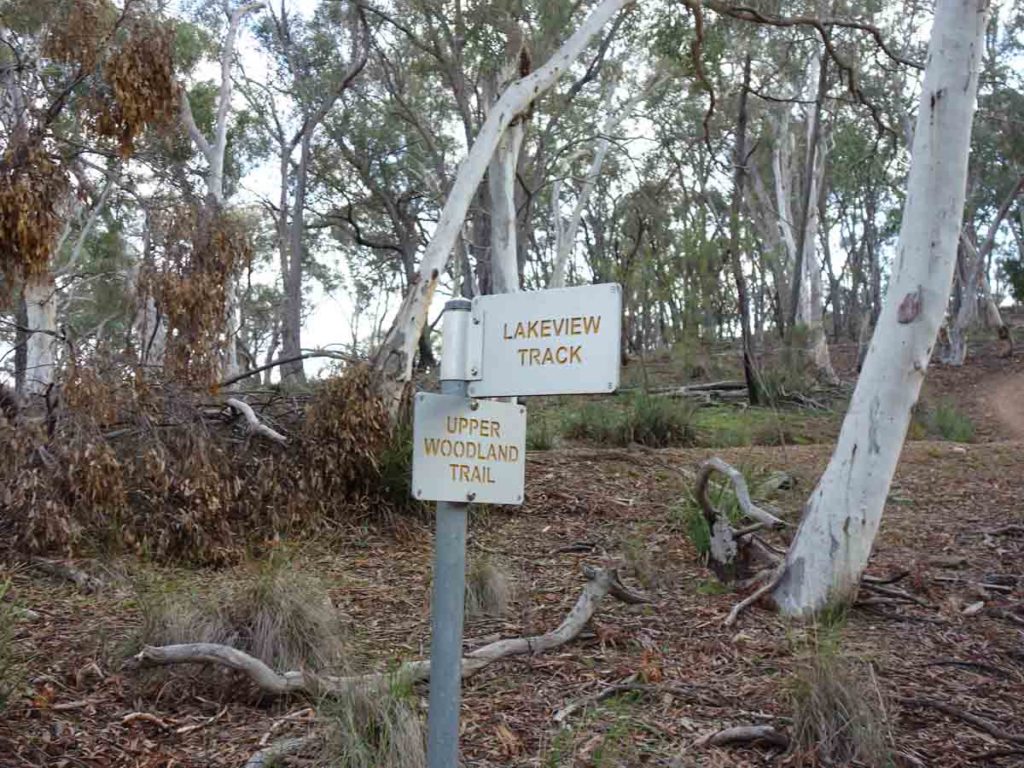
More signage
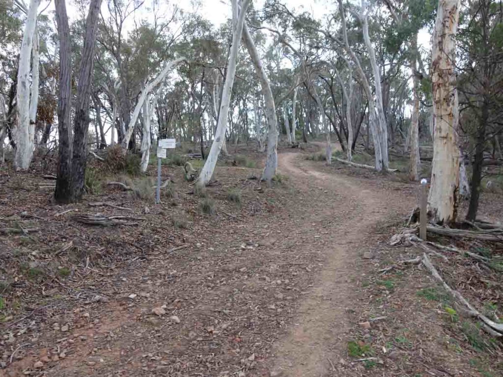
And up we go. Much of the back half of this trail is uphill
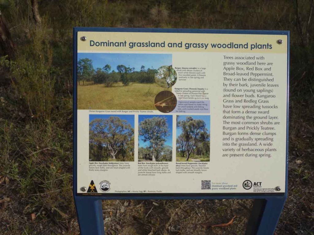
On-trail signage
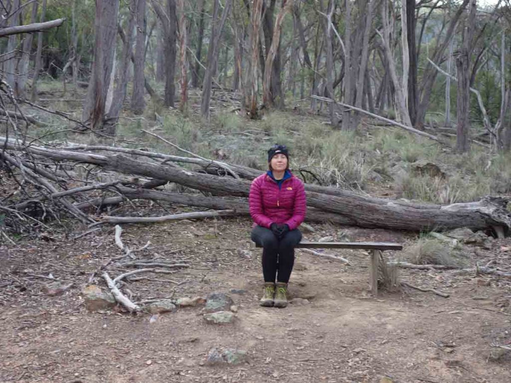
Seat at the the high vantage point on the trail
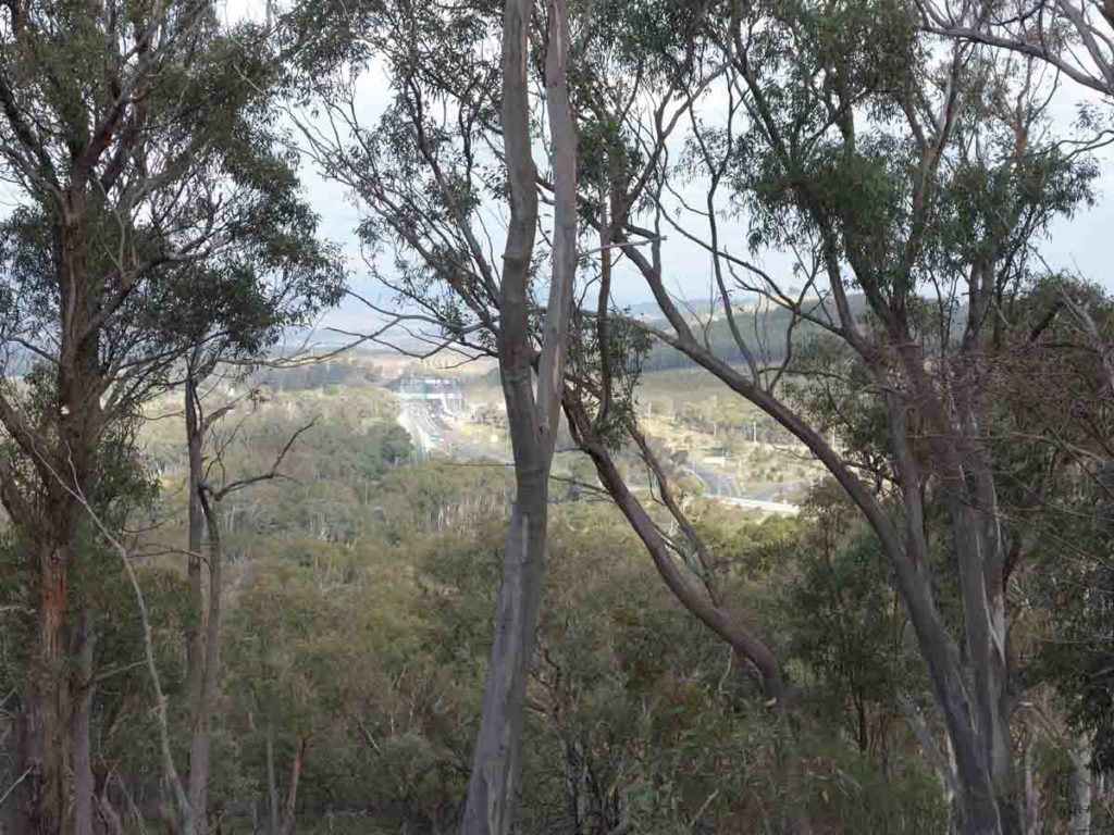
Views towards the Arboretum. You can also see Government House in the distance if you know where to look
View from the main vantage point on the Black Mountain Woodland Walk, Canberra, ACT
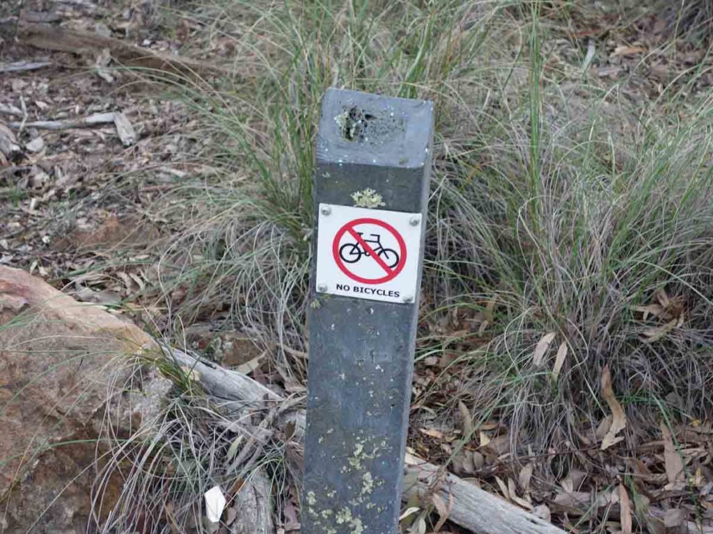
No bikes allowed off the main management road
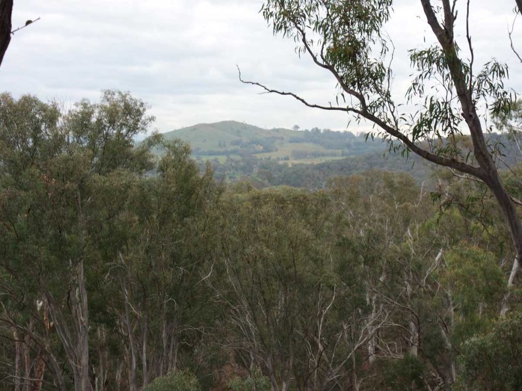
Views to Mount Painter. This is one of our favourite Canberra Urban Walks
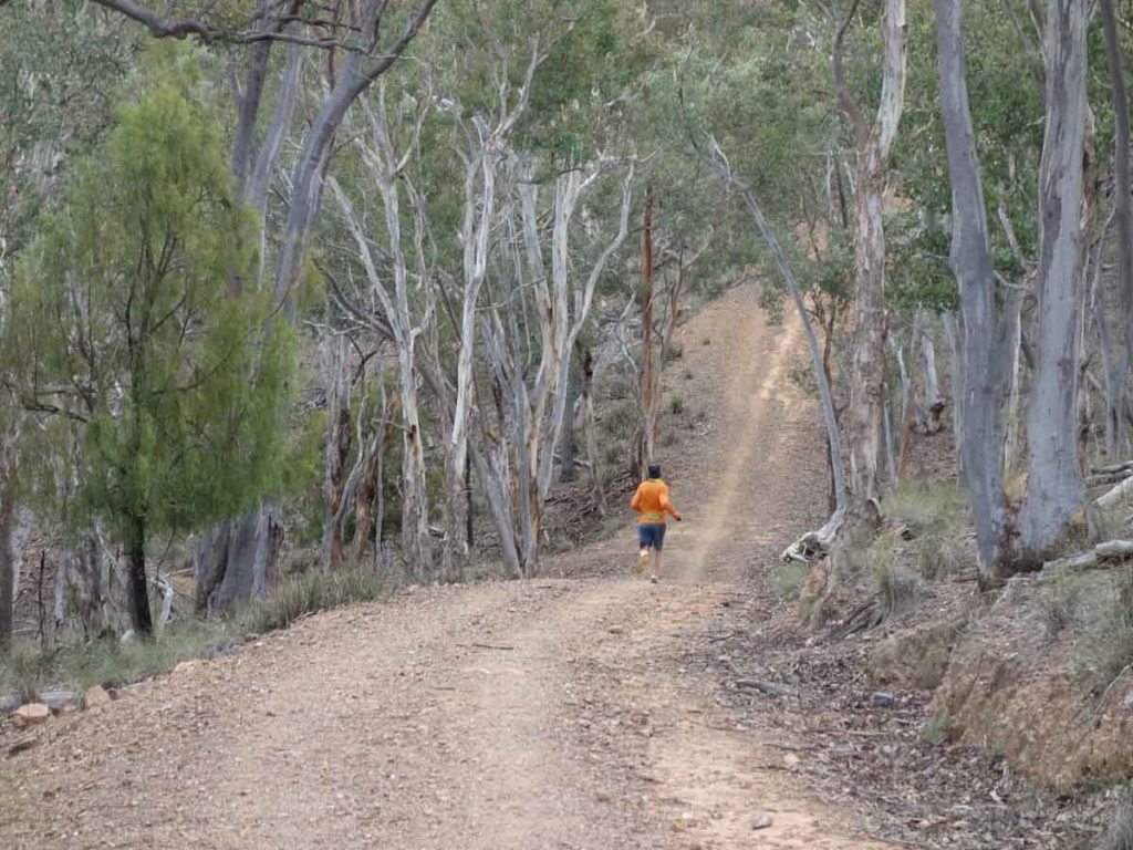
This trail is also popular with trail runners
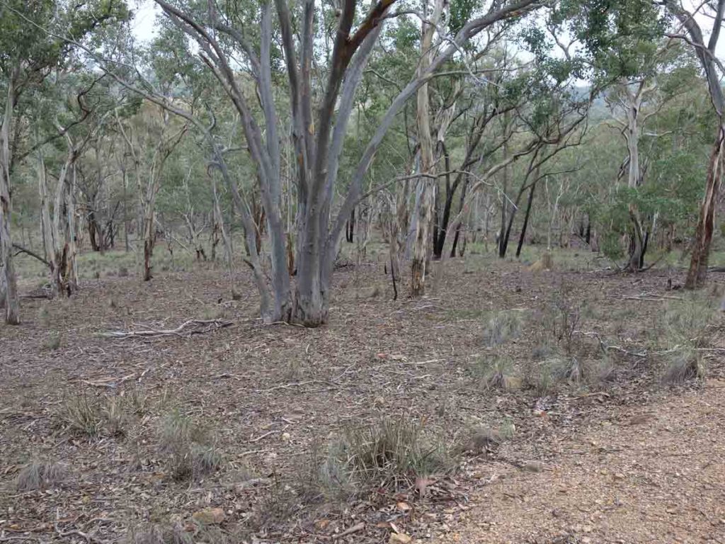
Bushland view. We love the dry forest
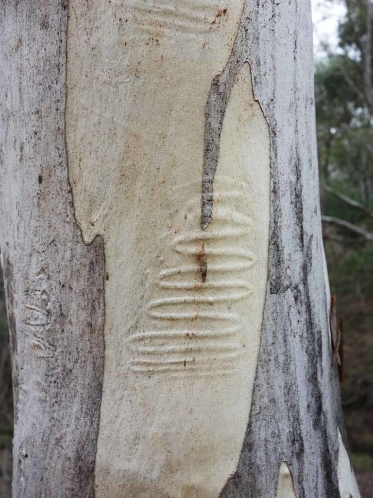
Scribbly Gum Moth – early stages
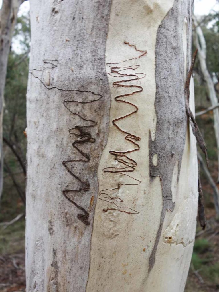
Scribbly Gum
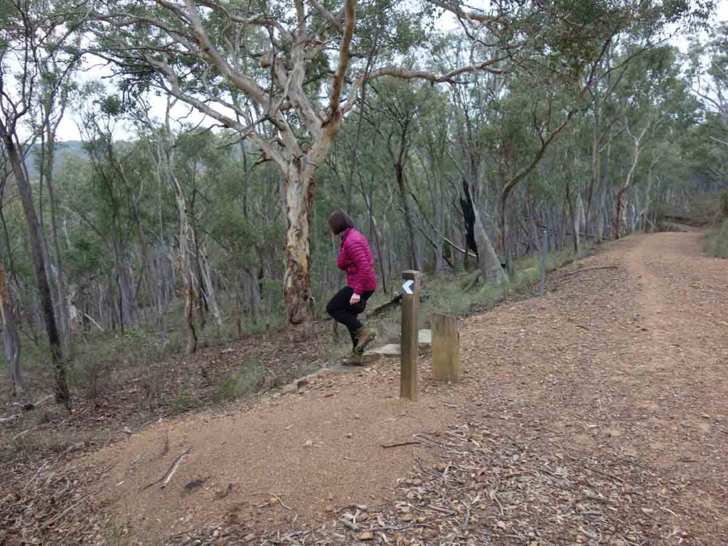
And down we go, turning to the left. Keep an eye out for this set of rock steps
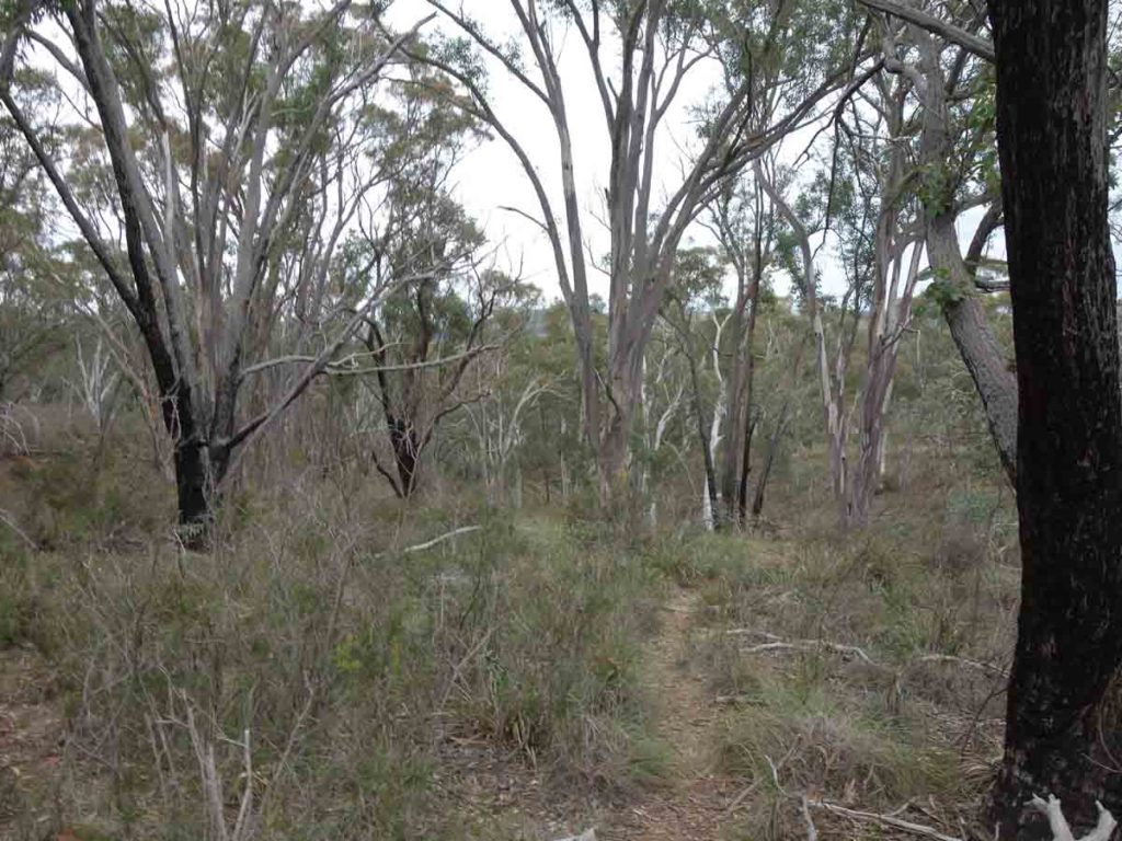
Through the bush

Our end point in sight
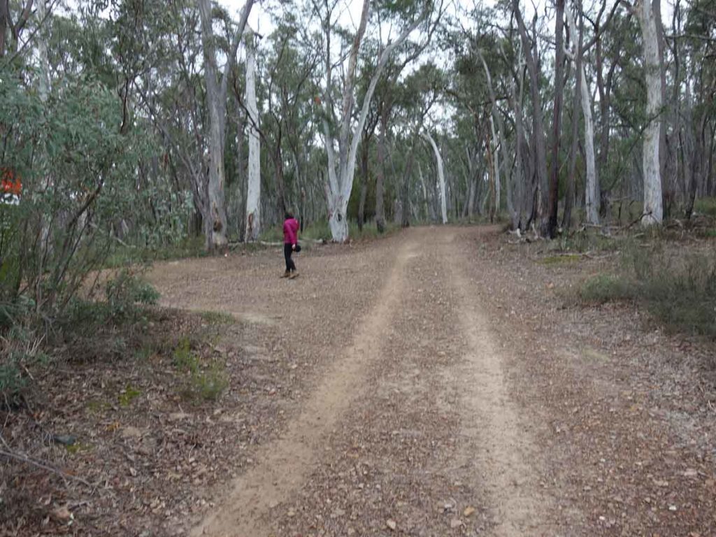
At this stage you will finish on the road that you came started on. Head back to the car park

Back to the starting sign
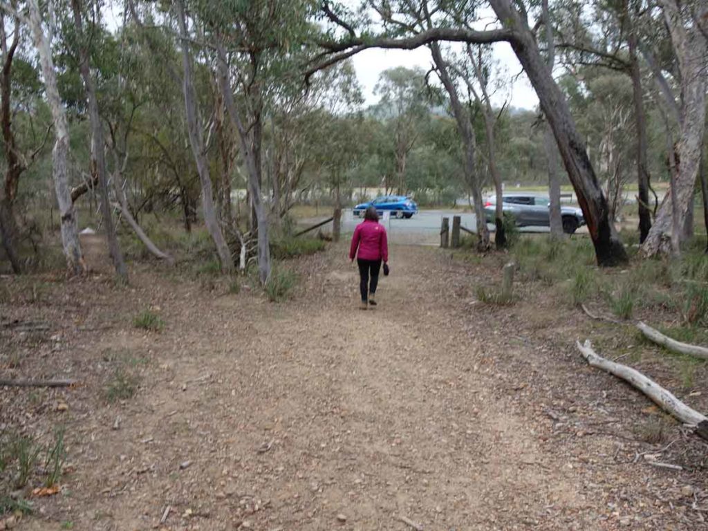
Return to the car park
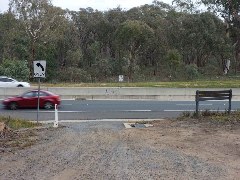
Car park exit. Caswell Drive can be very busy so it’s best to avoid this road at peak hour
Getting There
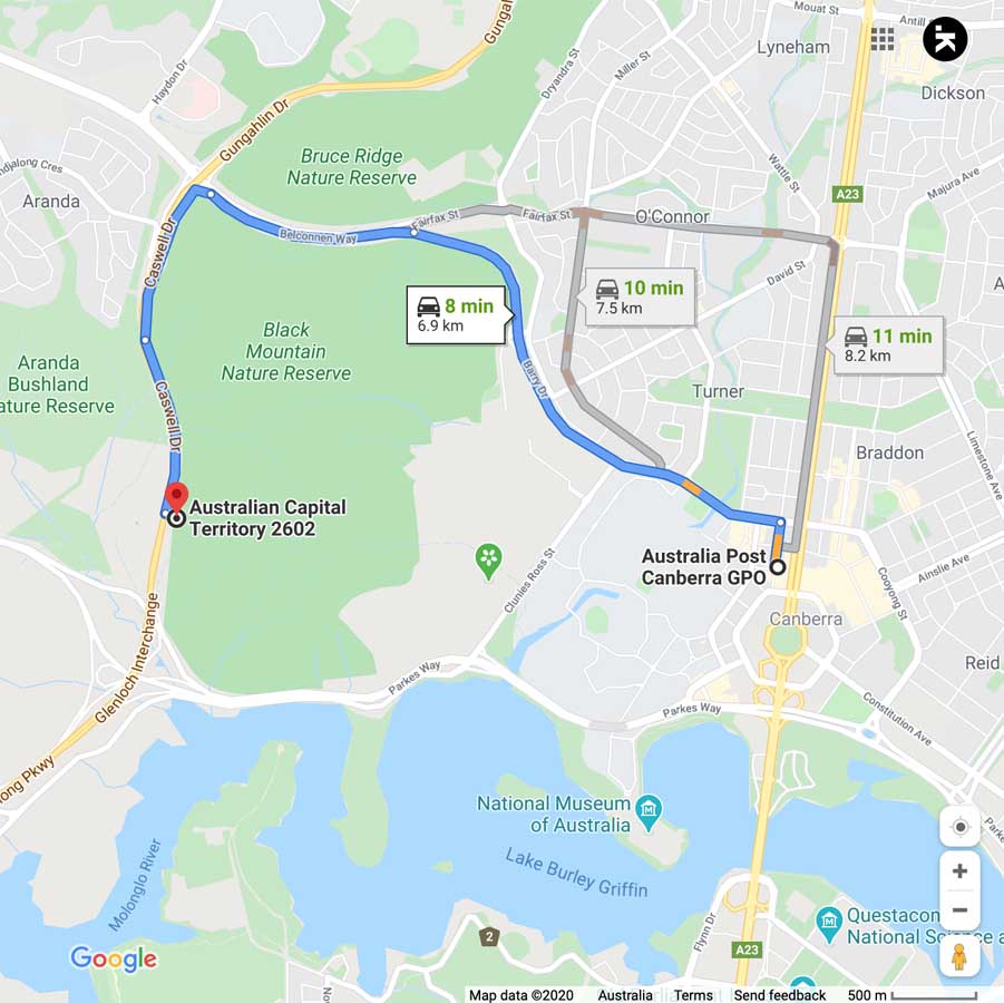
The main trailhead car park is along the base of Black Mountain on Caswell Drive. To use this car park you will need to travel from the city along Belconnen Way. If you come from around Lake Burley Griffin, then you will have to use the car park on the other side of the road and use the underpass under the road.
This trailhead is around 7 km from the Canberra GPO and around a 10 minute drive
Things to know
- Phone: There is good phone signal on this track (Telstra)
- Water: Bring your own water
- Toilets: There are no toilets on this trail
- Trail: This trail consists of formed track and management road
- Dogs: Dogs NOT allowed
- Camping: No camping is allowed on this trail
- Other:
- This walk is done in a loop
- This car park will comfortably fit around 10+ cars

Turn off Caswell Drive into the car park. You will need to turn off Belconnen Drive to use this car park
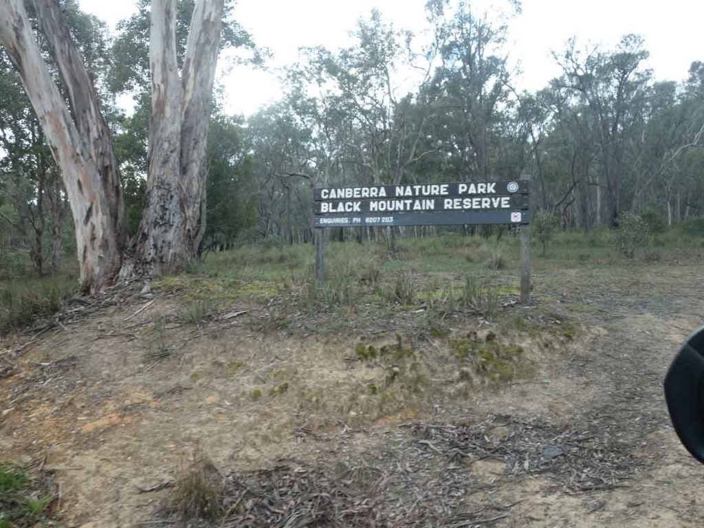
Car park signage at the entrance to the car park

This car park will comfortably fit around 12 cars. You can also park across the road and walk under the underpass – the start of the trail is not far from this one
Disclaimer
This walk was undertaken by the team from Australian Hiker