Mount Ainslie Circuit ACT (8.2km)
Urban hike
Nearest Town
The closest suburb to the trailhead is Campbell, ACT. You can start this walk from a number of access points in Campbell, Ainslie and Hackett which are the three suburbs that surround Mount Ainslie
Starting Location
Trailhead car park just off Fairbairn Avenue on the road to the summit of Mount Ainslie
Finish Location
Trailhead car park at the base of Mount Ainslie
Trailhead car park at the base of Mount Ainslie
Best Time of the Year to Walk
Year round
Mount Ainslie Circuit ACT Review
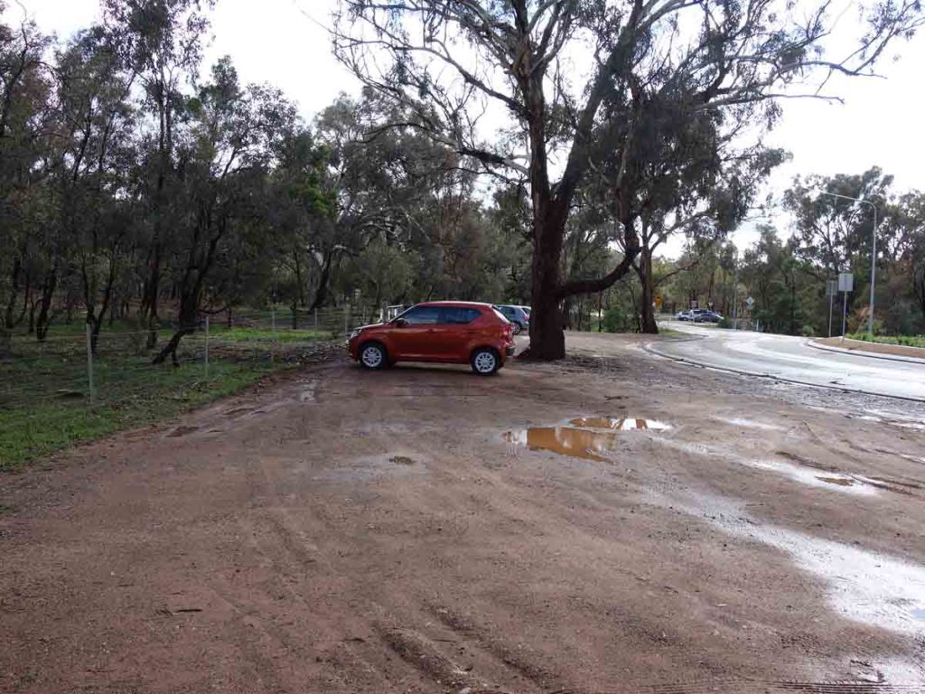
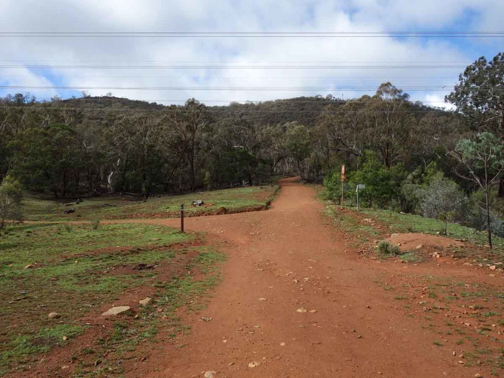
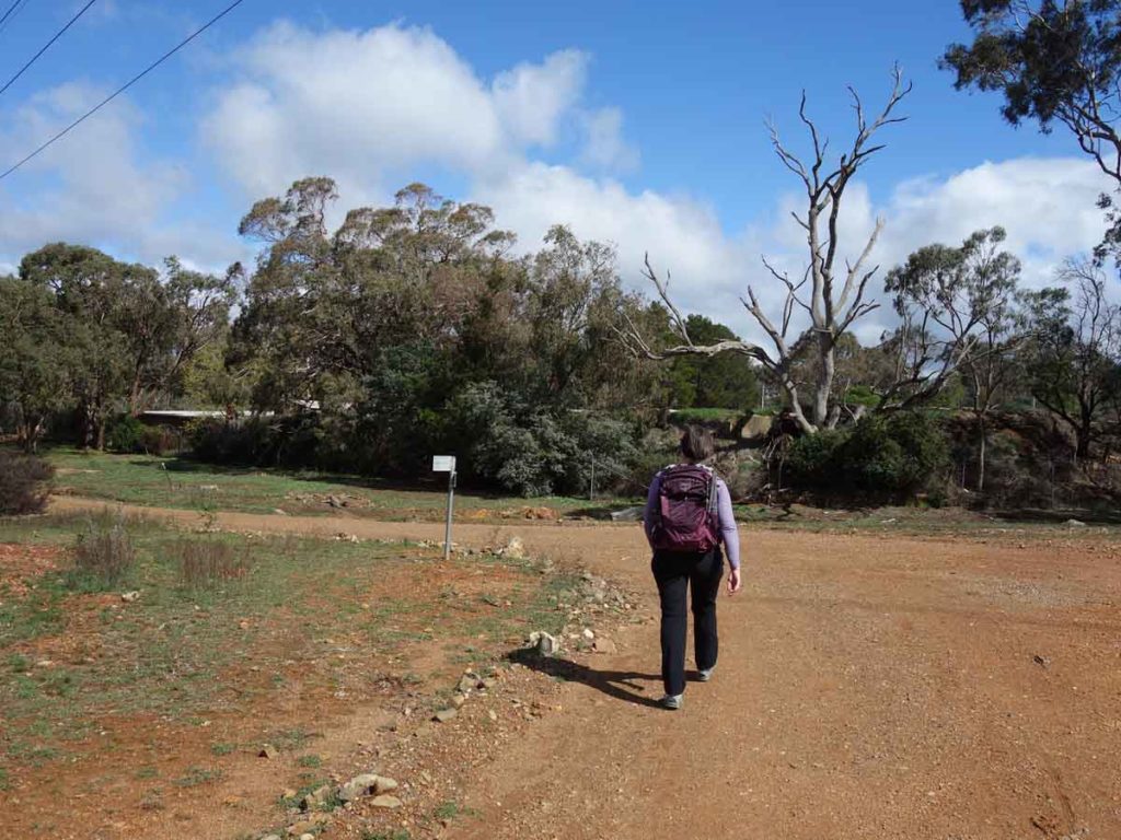
This is a walk that you will struggle to find much information about and isn’t going to make anyone’s top ten list any time soon. Sometimes all you want is a walk that doesn’t require too much travelling to get to so you can get into the bush quickly. This 8.2 km circuit around the base of Mount Ainslie is one such walk. You can start this walk in a number of locations from the suburbs of Campbell, Ainslie and Hackett but we chose to start it at the base of Mount Ainslie just as you turn off Fairbairn Avenue onto the summit road. The car park is on the left hand side of the road and very obvious and easy to locate. We live within walking distance of this location and but it’s also only a 10 minute drive from the centre of the city.
Part of this walk follows the Canberra Centenary Trail (mountain bike option) but otherwise the signage is limited and you need to keep an eye on the summit and loop your way around the mountain without turning off towards neighbouring Mount Majura. Specifically you need to avoid side trails take you up the the summit.
You can do this walk by travelling in either a clockwise or anticlockwise direction – this decision is really up to you but we recommend you walk in an anti-clockwise direction as the hardest section of the walk is on the east section of the walk closest to the airport. The entire walk is on management road and most of the walk is an easy grade with the exception of the eastern side of the track which is a little more difficult with some serious undulations for about 1.5 km before it flattens out again. I have ridden my mountain bike on this track in the past and one of the eastern sections is so steep and rocky that I can remember going downhill at 20 km per hour with my back brakes full on. Walking wise it’s not as bad as it sounds but if your fitness is not there then you will feel it.
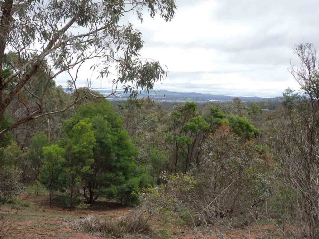
As mentioned this walk can’t be classed as spectacular but it it does provide views into the residential and city areas on the western side, view towards the Mount Majura summit on the north, and then on the eastern side views across the Majura valley which contain the airport and on the far edge to NSW and the city of Queanbeyan.
Expect to see wallabies and kangaroos at various points and on the day we did this walk there was the odd Black Cockatoo flying around making their distinctive squawk. Vegetation wise it’s pretty similar all the way around although on the eastern side there is a bit more overhead coverage as opposed to the back of the mountain where the vegetation has been cleared well away from the road.
Overall this walk is worth doing if you don’t want to leave the city. Its an excellent training walk if you are planning on doing a multi-day or multi-week trip. Overall it will take about 2-2.5 hours to complete so take some water and snacks.
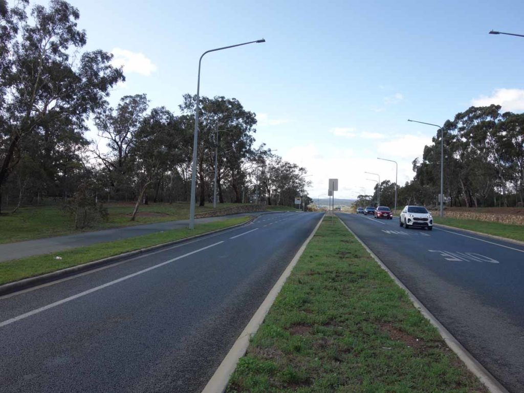
Mount Ainslie turnoff coming from the city
Mount Ainslie turnoff
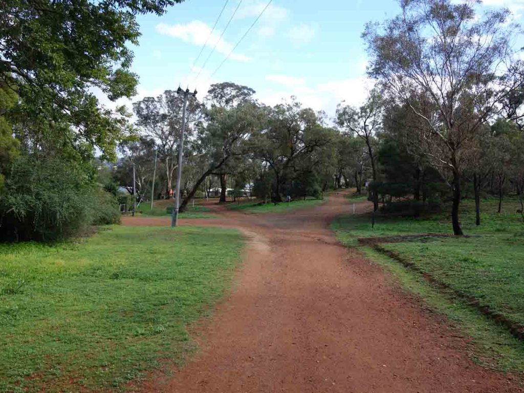
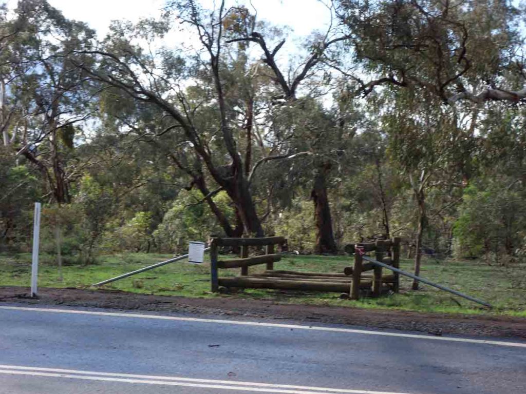
Trail car park at the start of the trail
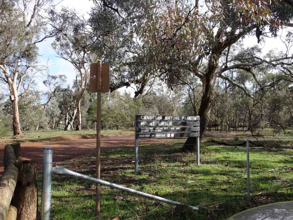
Trailhead signage
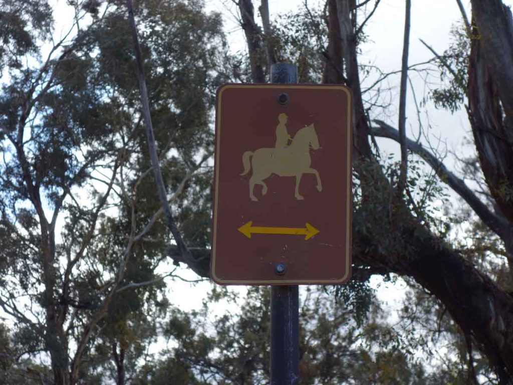
Horses on trail. This trail is shared with walkers, cyclists and the very occasional horse
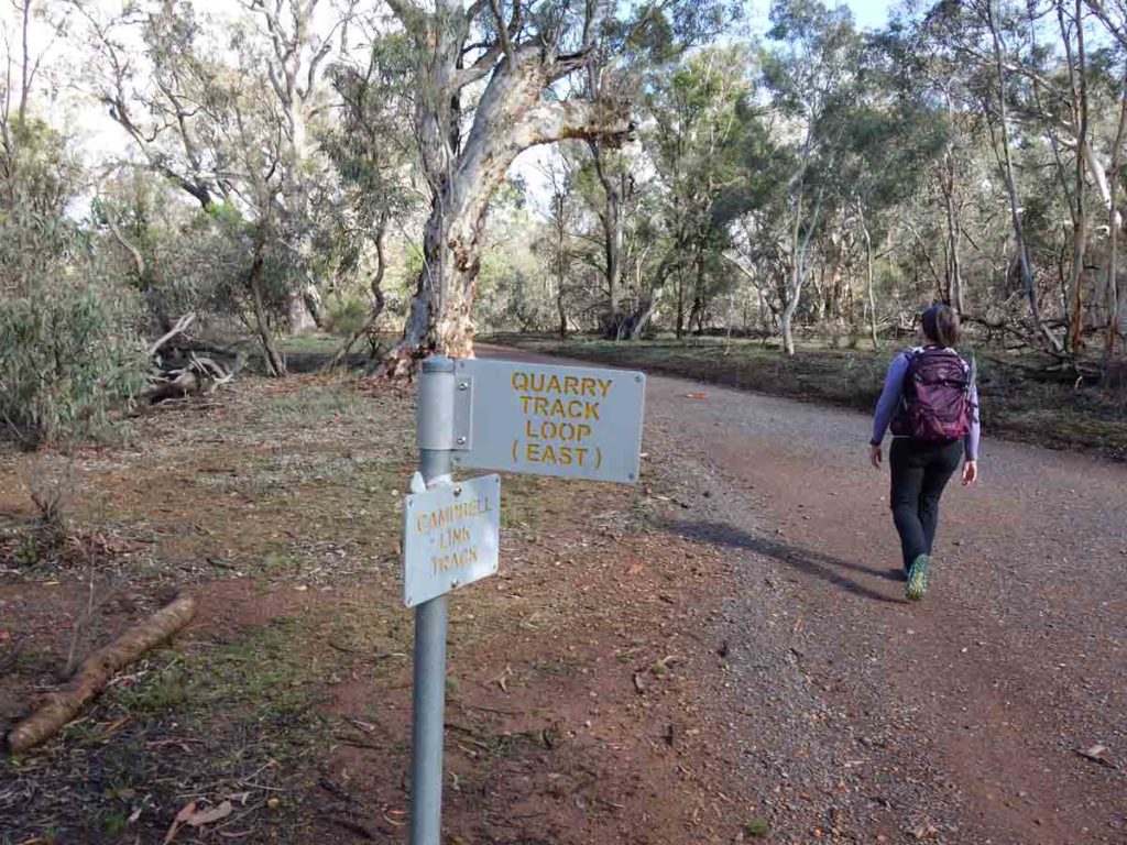
Signage example
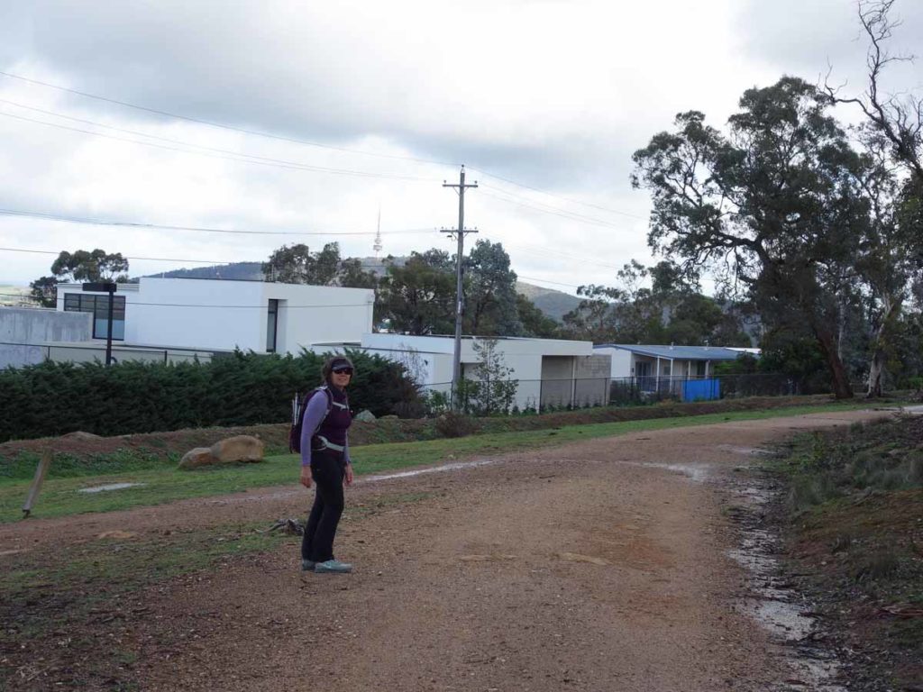
Back of Campbell looking towards Black Mountain
Mount Ainslie Summit Trail crosses this management road
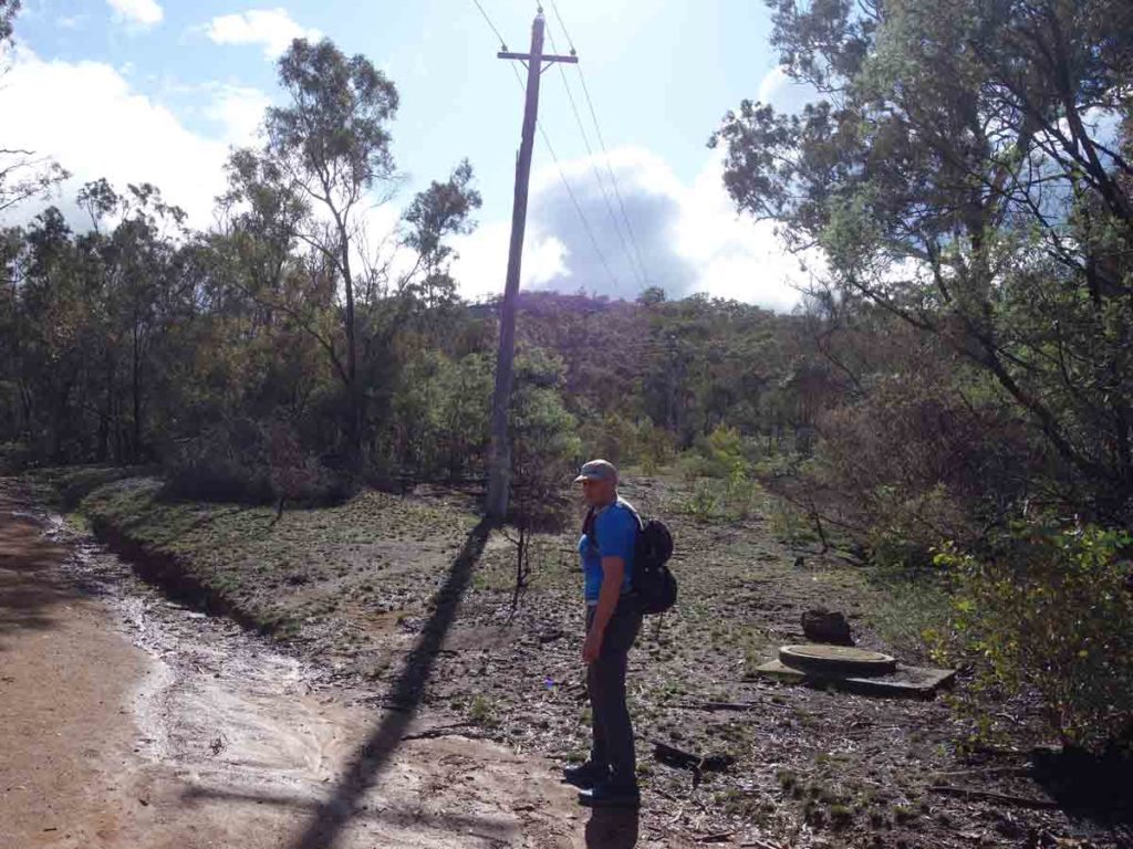
Mount Ainslie in the background
Keep right and hug the mountain
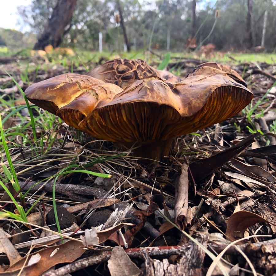
Fungus on Mount Ainslie
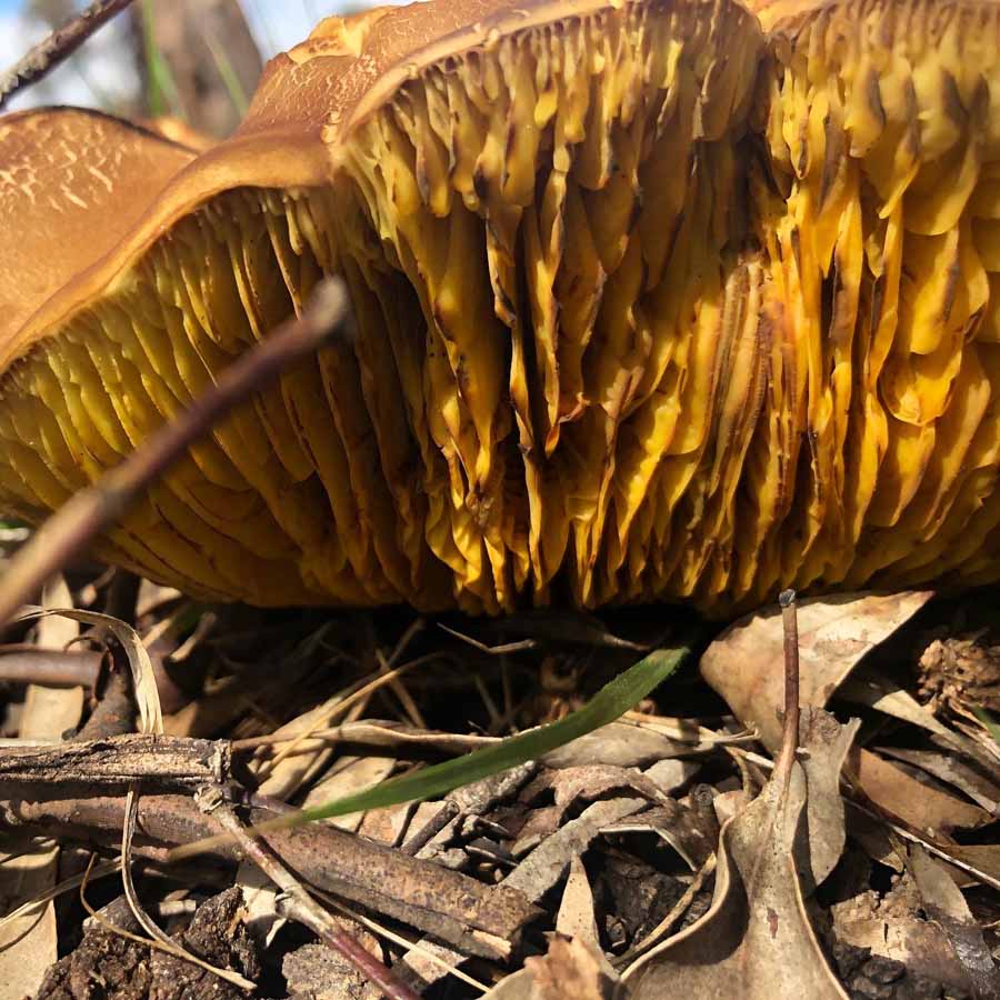
Fungus on Mount Ainslie, close up of the gills
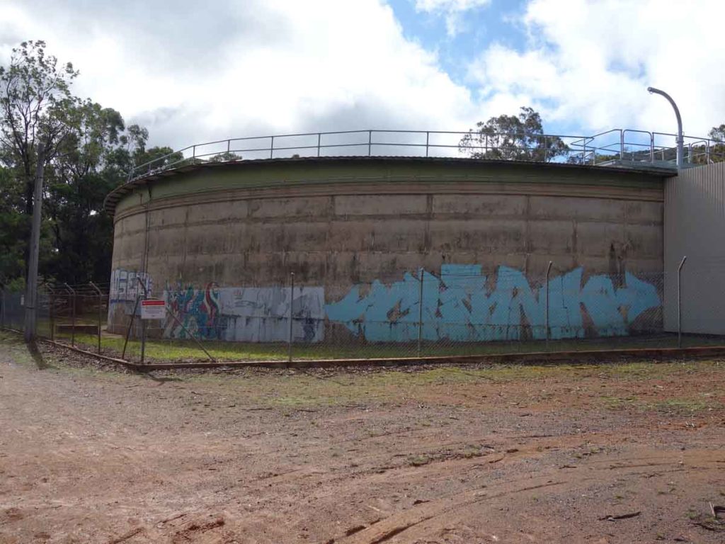
Water supply to feed the suburbs of Canberra
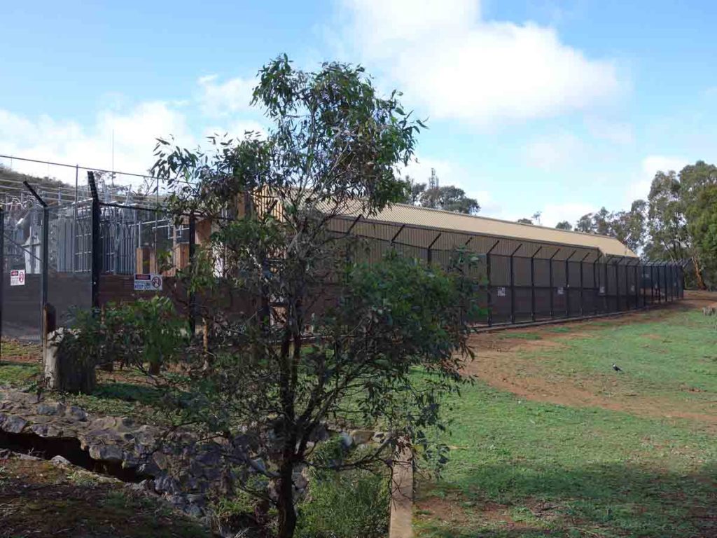
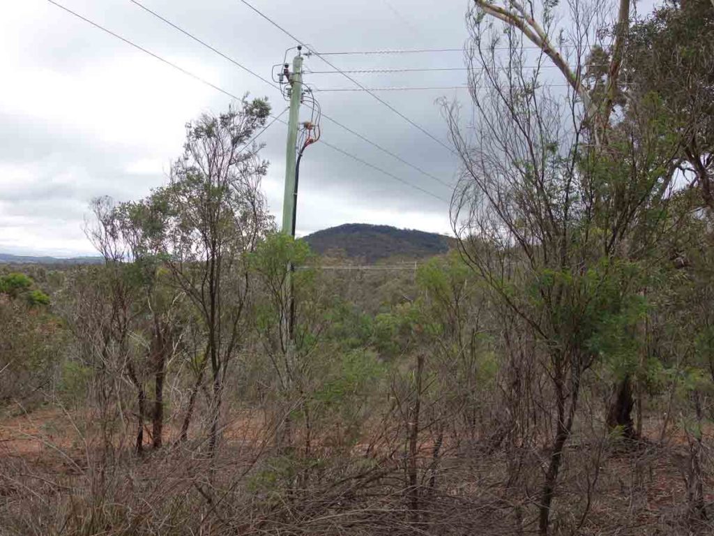
Electricity sub-station
View to Black Mountain
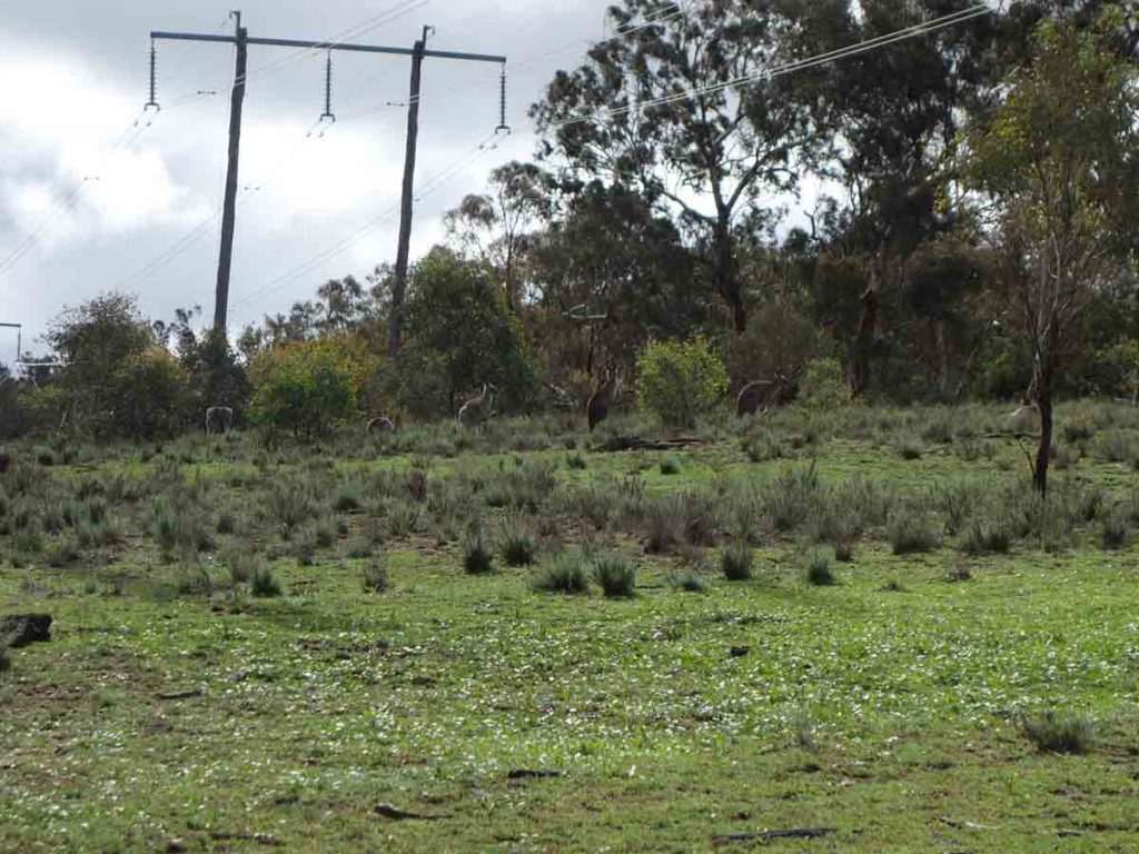
Kangaroos on the side of the trail
Veer left. The trail that goes straight ahead leads to the summit of Mount Ainslie
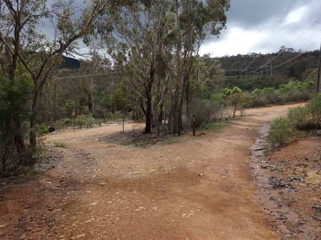
Veer right because left goes to Mount Majura
Mount Majura
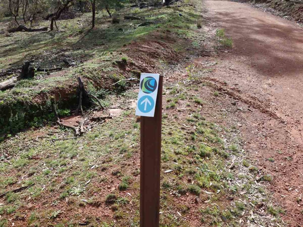
Canberra Centenary Trail signage which you follow for much of the trail
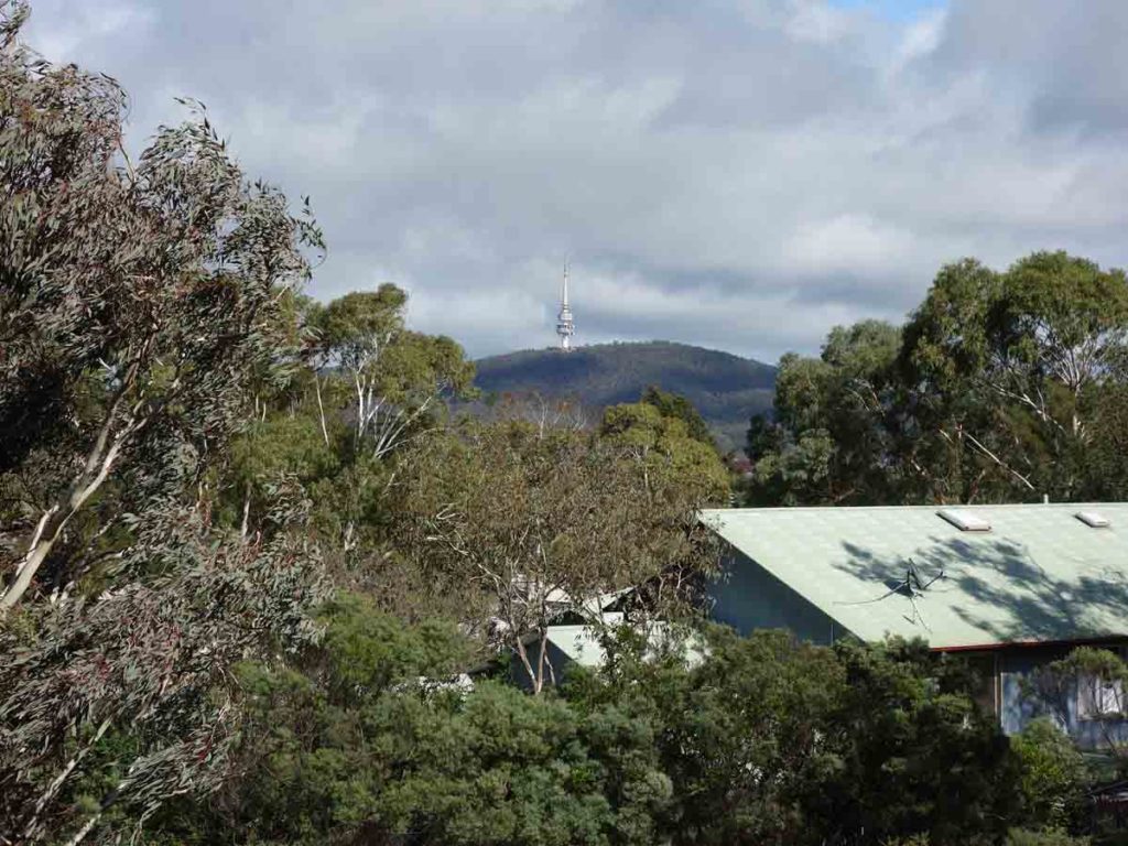
Views down into the north of Canberra
Video taken at on the Mount Ainslie Circuit
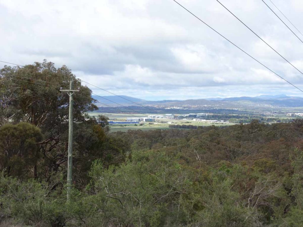
View down to Canberra airport
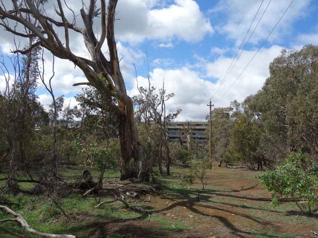
Campbell Park Offices
Coming up to the gun club
Finish point just across the road from the car park
Getting There
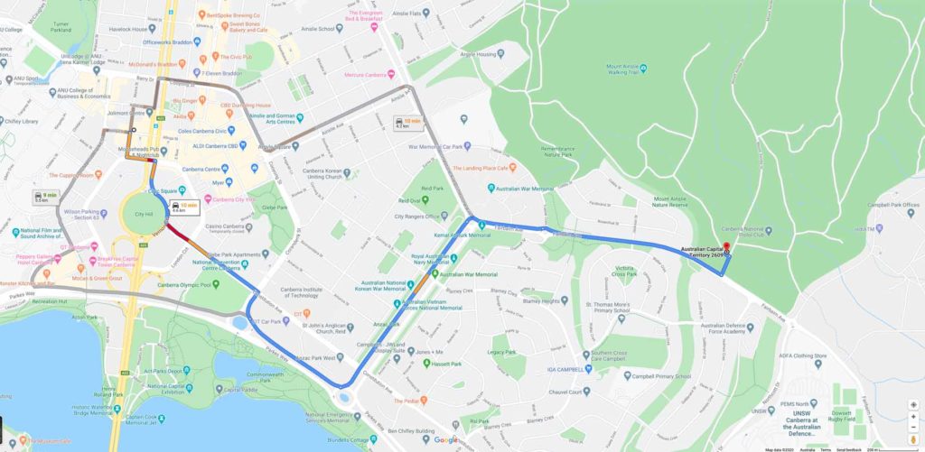
The trailhead is around 5 km from the Canberra GPO and around a 10 minute drive
Trail car park
Things to Know
- Water: Bring your own water
- Toilets: There are no toilets on this trail
- Phone: There is good phone signal on this trail (Telstra)
- Dogs: Dogs allowed on leash
- Camping: No camping is allowed on this trail
- Trail: This walk is entirely on management road
- Other:
- Bring adequate shade (hat, long sleeves etc) in the hotter months
Disclaimer
This walk was undertaken by the team from Australian Hiker