Mount McDonald Summit Track ACT (4.36km)
ACT
Nearest Town
The closest suburbs to the trailhead are Duffy and Wright, ACT
Starting Location
Trailhead car park on Brindabella Road
Finish Location
Trailhead car park on Brindabella Road
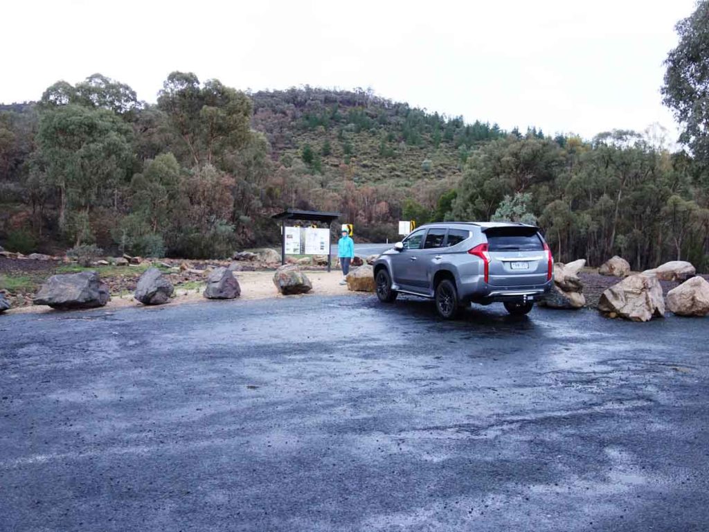
Trailhead car park
Best Time of the Year to Walk
Year round
Mount McDonald Summit Track Review
The Mount McDonald Summit Track is the longer of two walks that start from this location and can easily be combined with the shorter Cotter Dam Lookout Walk. In fact by adding on the lookout, you only add about 300 metres to the trail itself. The trail starts from the smallish car park on Brindabella Road, located up above the main Cotter Recreation Area. The car park isn’t huge but will fit about 5-6 cars. There is good interpretation material on the two walks and the surrounding areas but no toilet or water facilities at this car park however the Cotter Recreation Area is only about a five minute drive away.
Start the walk by heading up hill on the obvious trail behind the interpretation signage. The entire walk is pretty much uphill until you reach the summit and then almost entirely downhill with the exception of a couple of small sections on the return. The trip is slightly over 4 km in length and will take most fit hikers around 1.25 hours to complete.
Once you reach the management road shortly after the start of the walk I suggest making the slight detour to the Cotter Dam Lookout. Once you reach the lookout spend time taking in the views which includes looking down towards the Cotter Dam and the Dam wall. This lookout also contains a seat and it’s own interpretation signage. Head back to the management road and make your way to the summit of Mount McDonald. There are small signposts at key points on the way up so you aren’t likely to lose your way. Once you reach the summit you have views down onto the landscape below in all directions but to see them unencumbered, you will need to shift through some of the vegetation at various points.
The return trip is back the way you came and you just need to keep and eye out for the turn on the left. This walk is doable for most hikers, provides unique views of this part of the ACT and is well worth doing at least once.
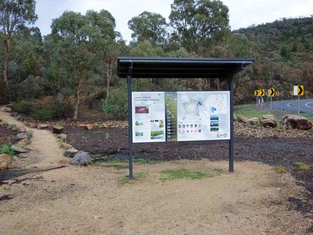
Trailhead signage
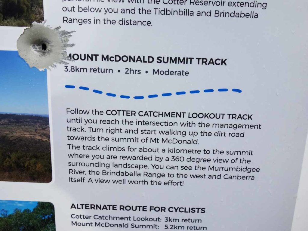
Trail information for Mount McDonald
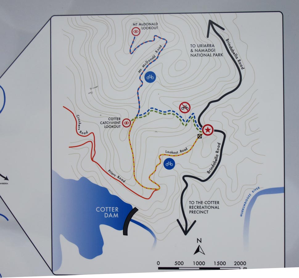
Trails map
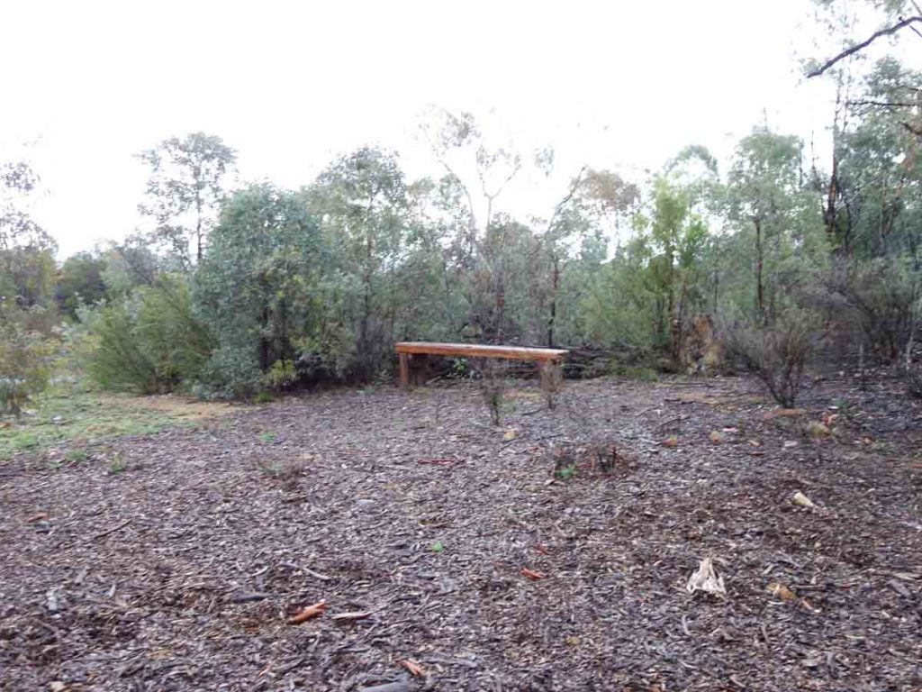
Seat at the trailhead
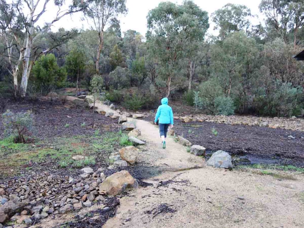
Trail marking arrows
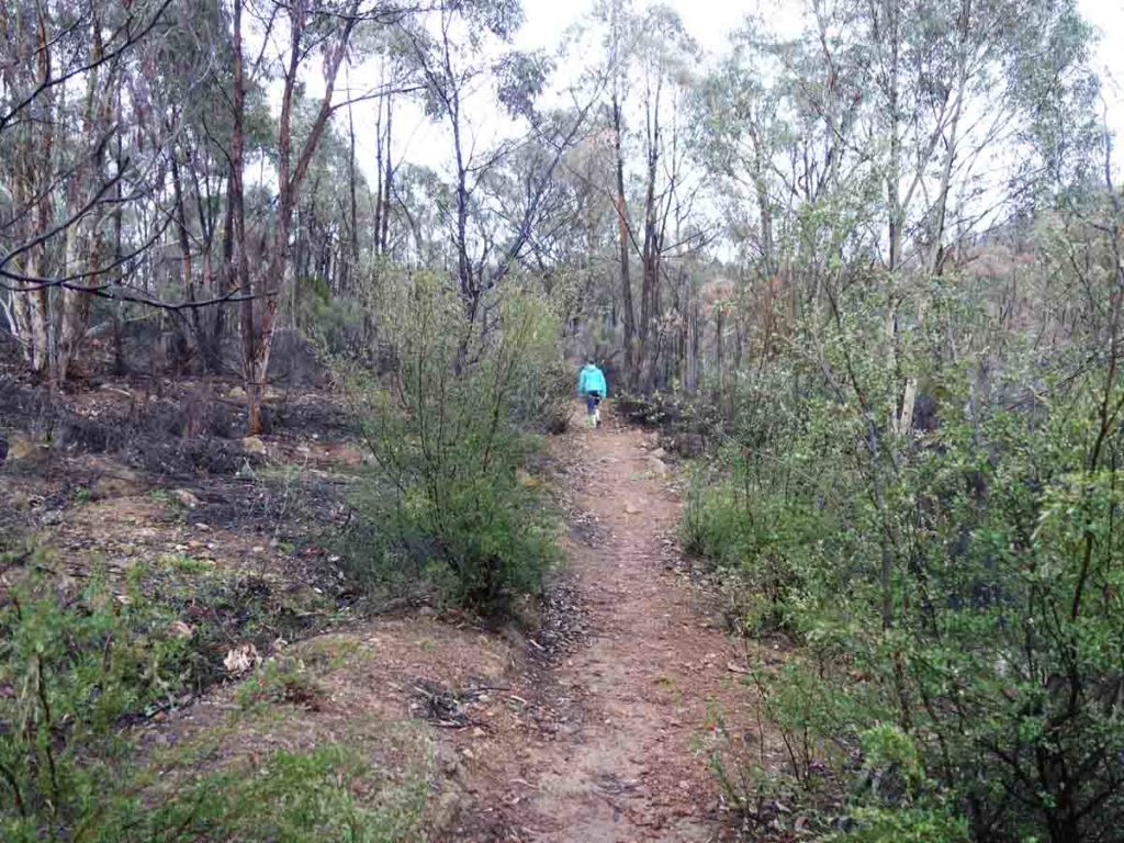
Trail example
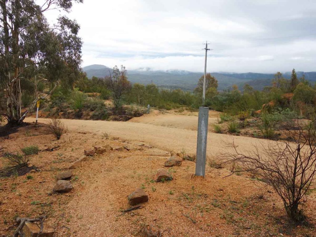
Straight to the Cotter Dam Lookout or turn right to Mount McDonald
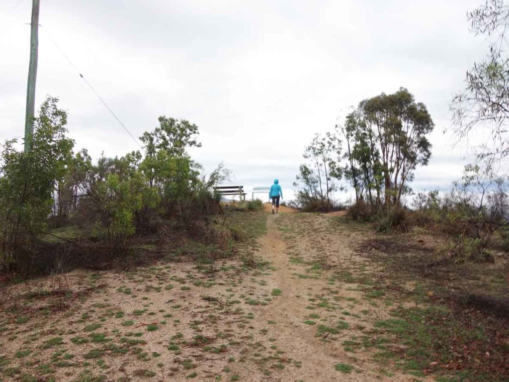
Approaching the summit
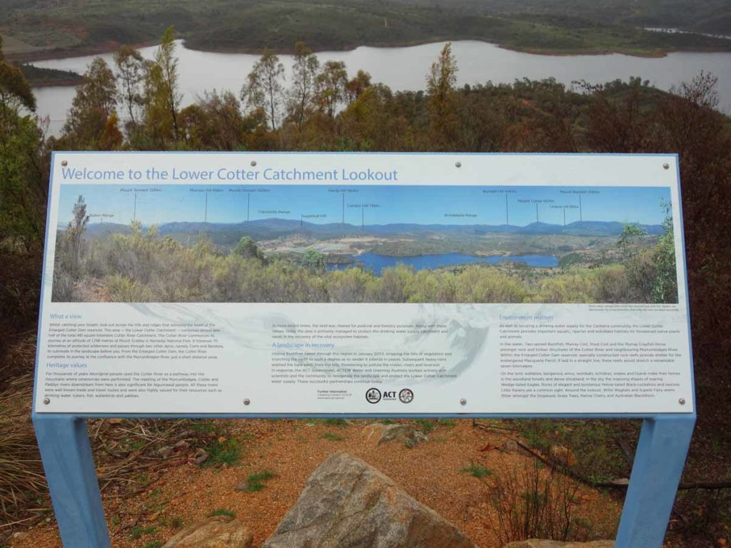
Cotter Dam Lookout interpretation signage

Panorama view of the Dam from the lookout
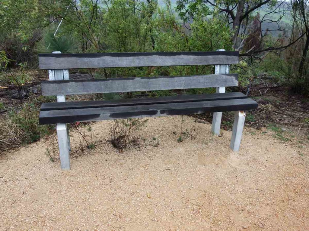
Seat at the lookout
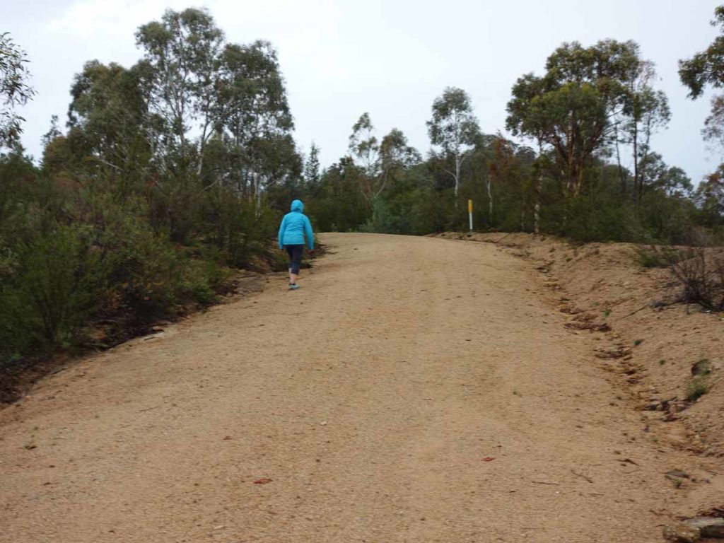
Once you leave the car park head back onto the management road and up to the summit
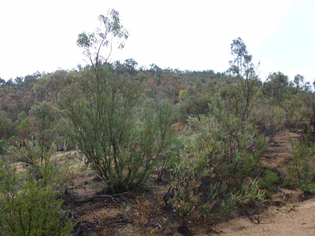
Mount McDonald peak on the left
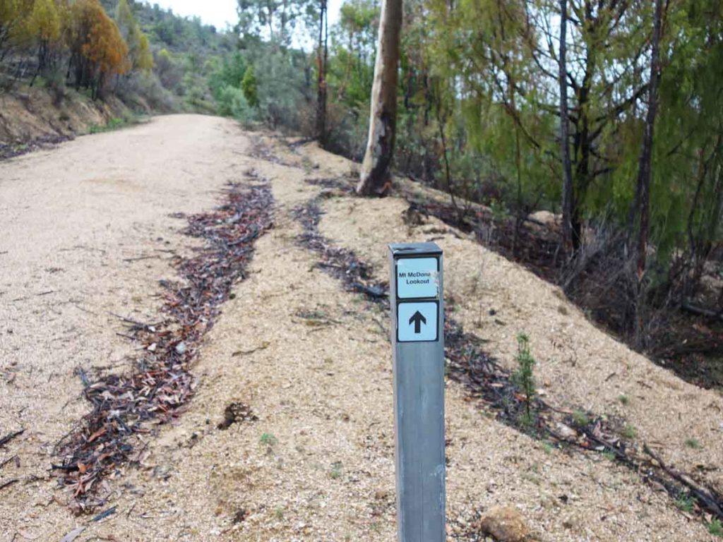
Directional signage on trail
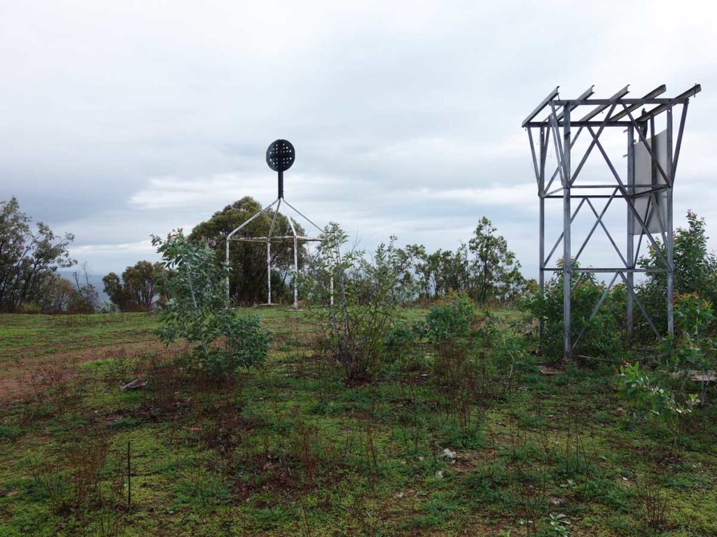
Mount McDonald Summit
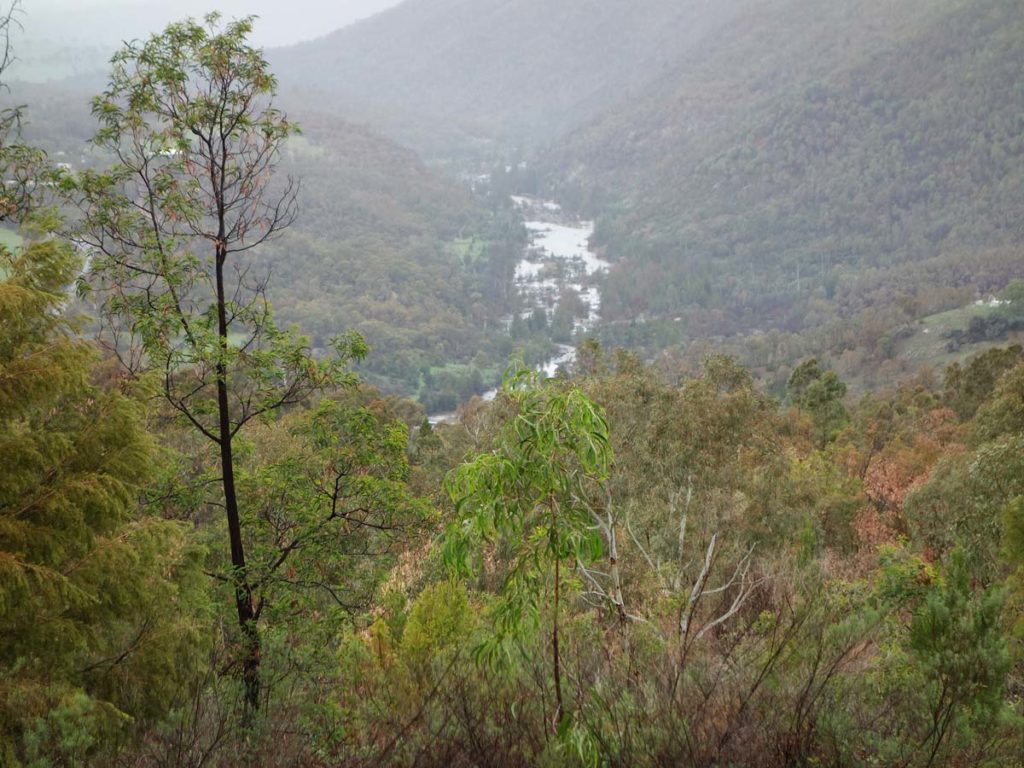
Looking down onto the Murrumbidgee River from the summit of Mount McDonald
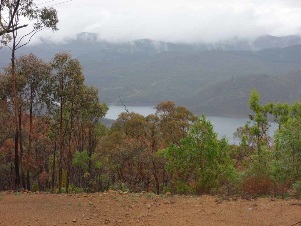
View down to the Cotter Dam from the summit
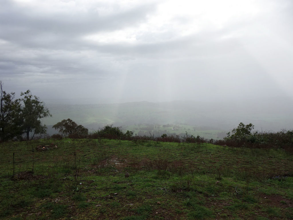
I love the rain
Video taken at the summit of Mount McDonald
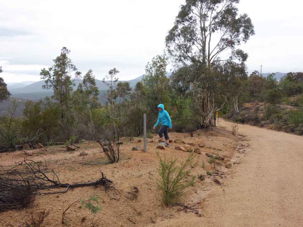
One the way back down turn left to head back down to the car park
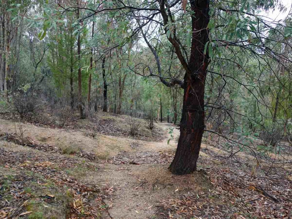
Heading back down hill
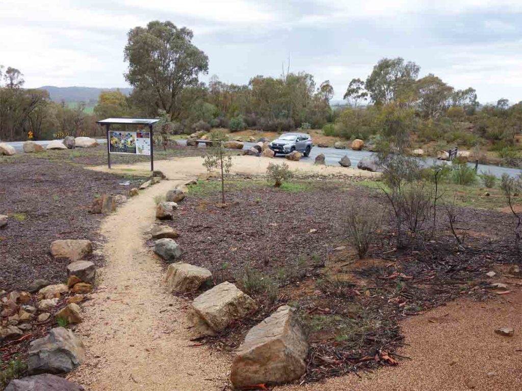
Returning to the car park
Getting There
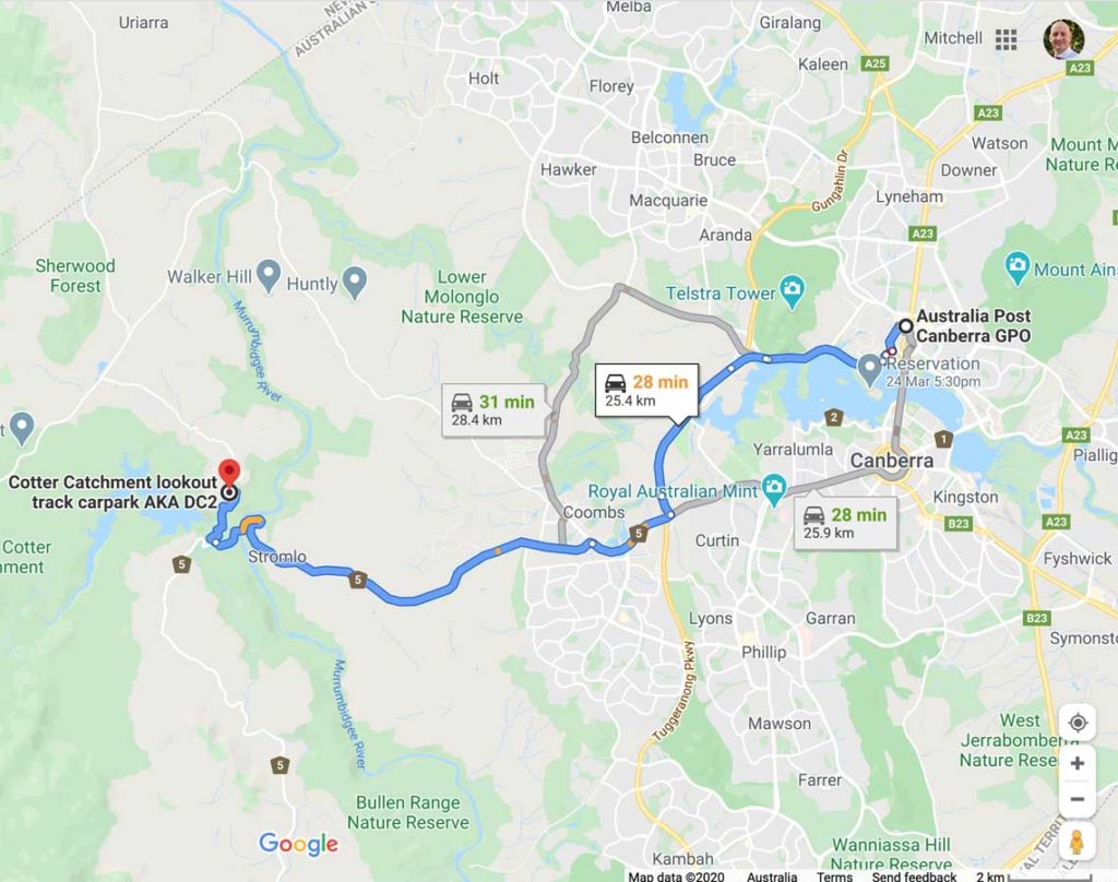
The trailhead is around 29 km from the Canberra GPO and around a 30 minute drive
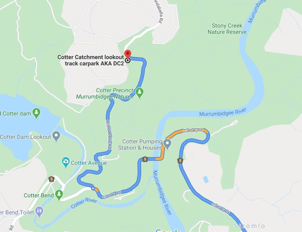
Close up of trail start
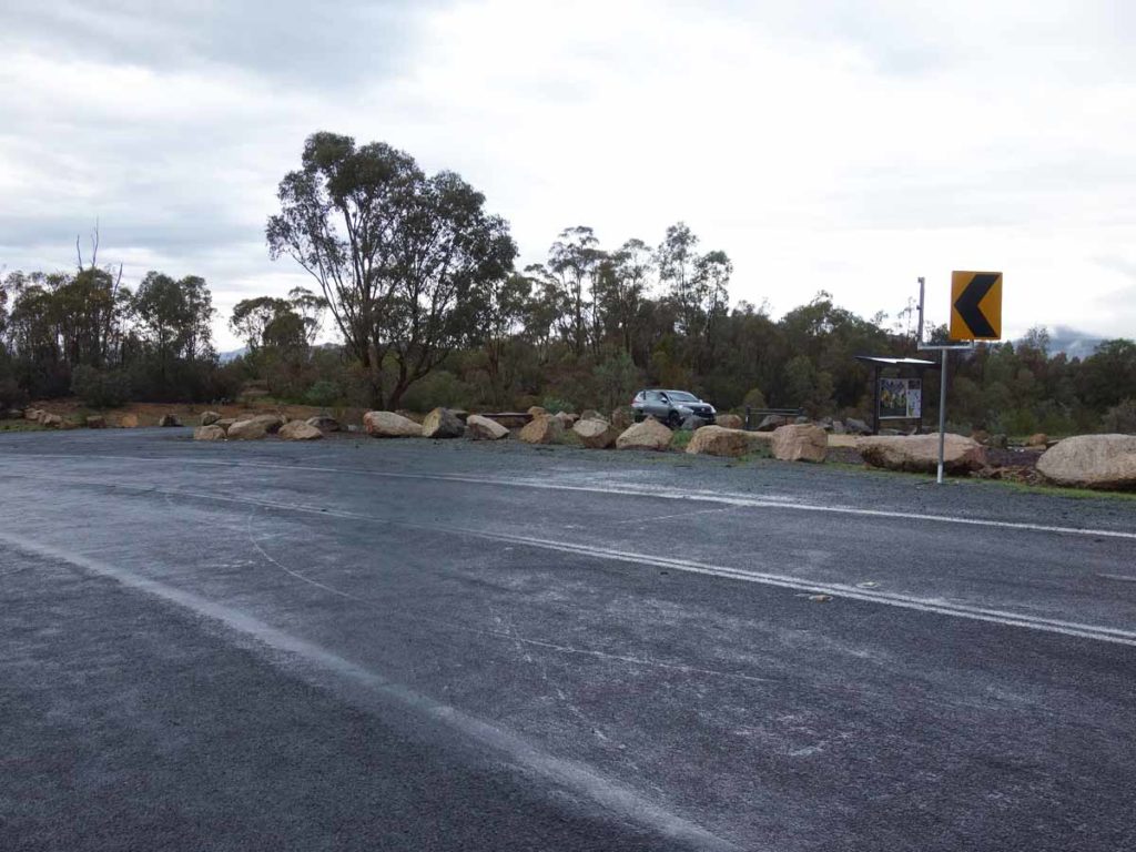
Turnoff into the car park

Trailhead car park
Things to Know
- Phone: There is good phone signal on this trail (Telstra)
- Water: You need to bring your own water
- Toilets: There are no toilets on this trail
- Trail: This walk is on a combination of dirt management road/trail and bitumen surface
- Dogs: No Dogs allowed
- Camping: No camping allowed
- Other:
- Bring adequate shade (hat, long sleeves etc) in the hotter months
- Bring insect repellant in summer
Disclaimer
This walk was undertaken by the team from Australian Hiker