Glenburn Heritage Precinct Loop ACT (12.6km)
Glenburn Heritage Precinct
Nearest Town
Queanbeyan, NSW
Best Time of the Year to Travel
Year round. Avoid this walk in the afternoon in mid summer as it’s a bit exposed
Starting Location
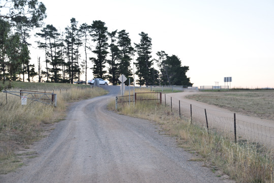
Glenburn Precinct Carpark
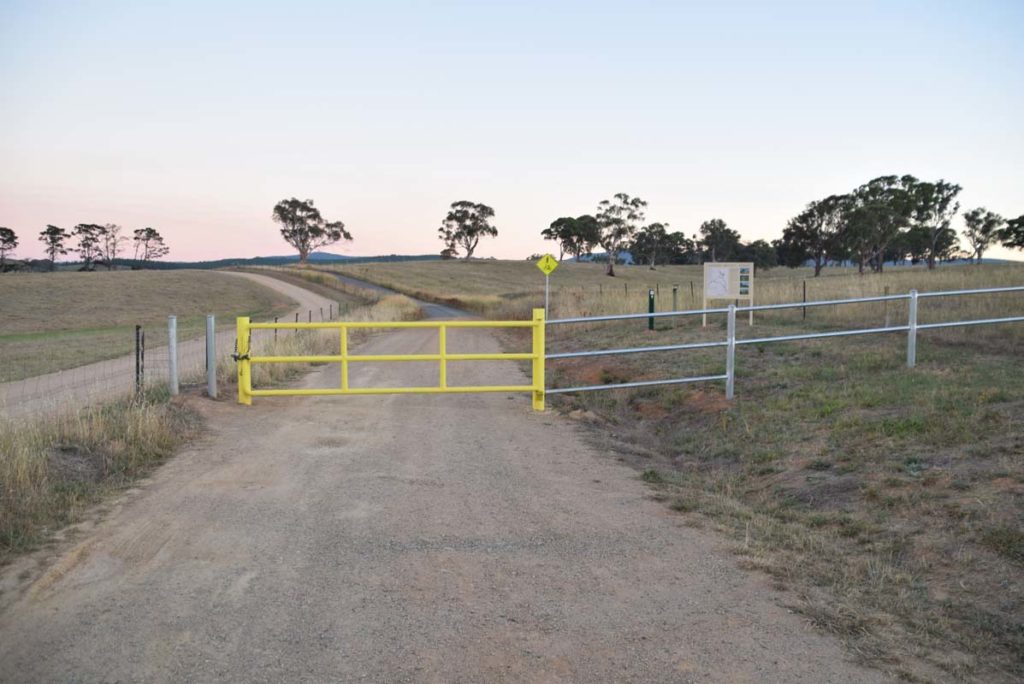
Trail head. Either nose in or park along the road if your car doesn’t have much clearance
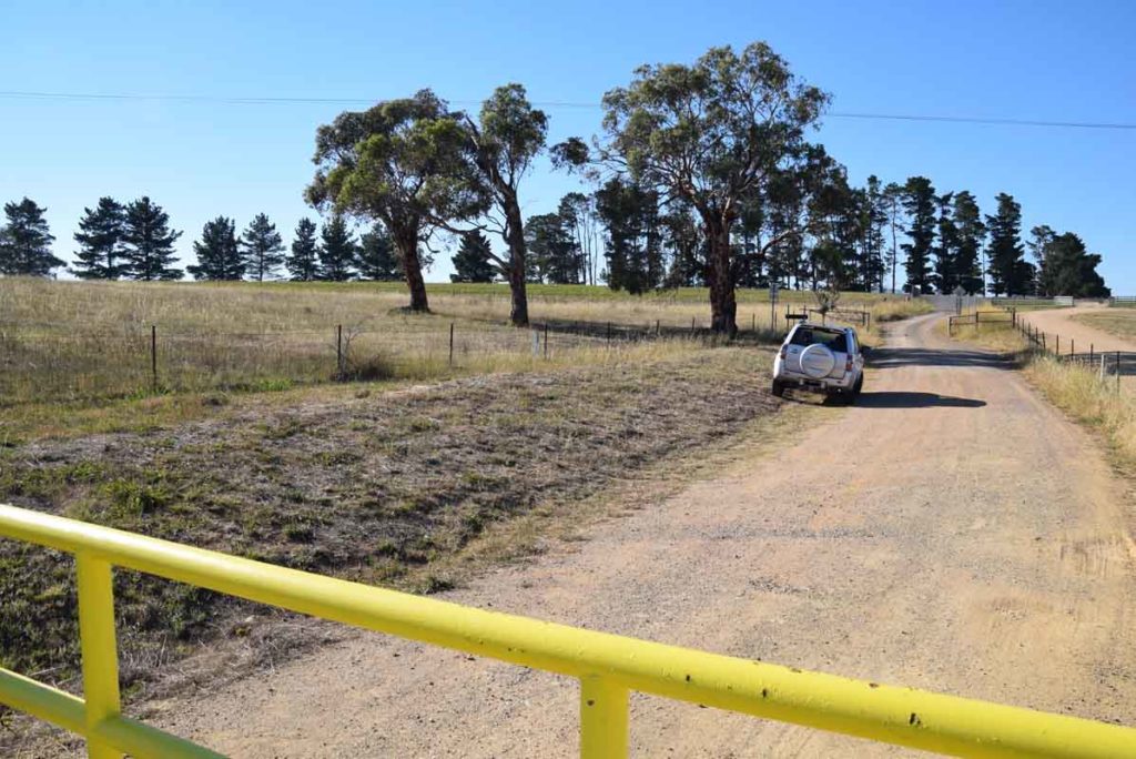
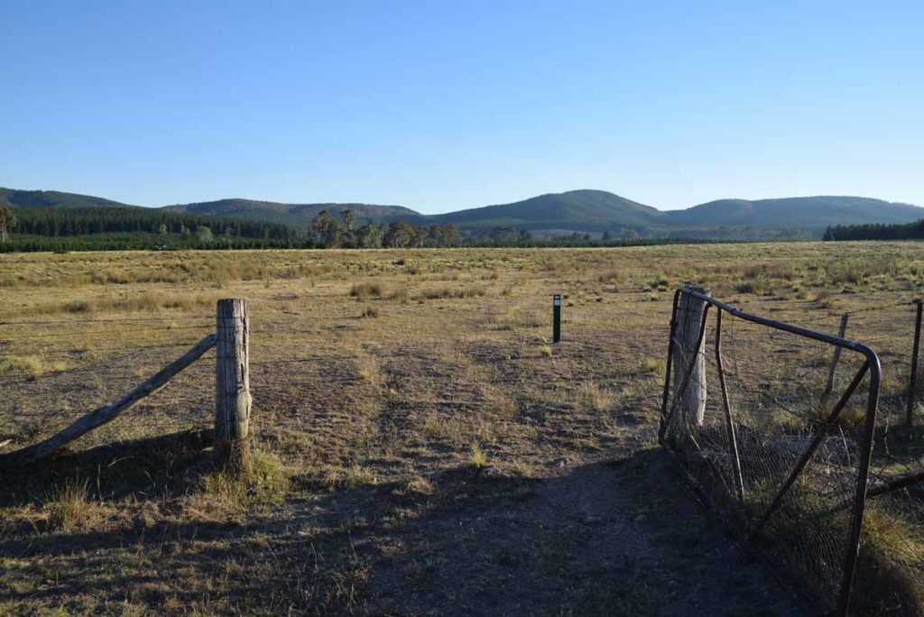
Car park looking back out towards the highway
Finish Location
Glenburn Precinct Carpark
Glenburn Heritage Precinct Loop Review
The Glenburn Heritage Precinct consists of a series of interconnected walks. Two stand alone walks that include the Glenburn Heritage Trail (10.4km) and the Burbong Heritage Trail (9.9km). When combined they form the longer Glenburn Loop Trail (12.6km) which is the subject of this post. These trails are a good opportunity to take in local settler history that I didn’t really know existed and they provide a bit of variation to traditional bush or urban walking that is very close to the city. The Glenburn Heritage Precinct Loop can’t really be described as a bushwalk as you are walking through old farmland, and through pine forest to take in some of the Canberra Regions early history. Much of this walk is done on management trail except when you are at the heritage sites themselves.
Start this trail by heading off from the carpark and not far into the walk you have the choice to either turn left and do the Burbong section of the walk first or keep walking straight ahead and the the Glenburn section. Given the way the signage is set up I would suggest doing this walk in the anticlockwise direction. Sites that you will come across if you do the walk in the anticlockwise direction are as follows :
- Glenburn Shearing Quarters
- Glenburn Shearing Shed
- Colverwell Graves
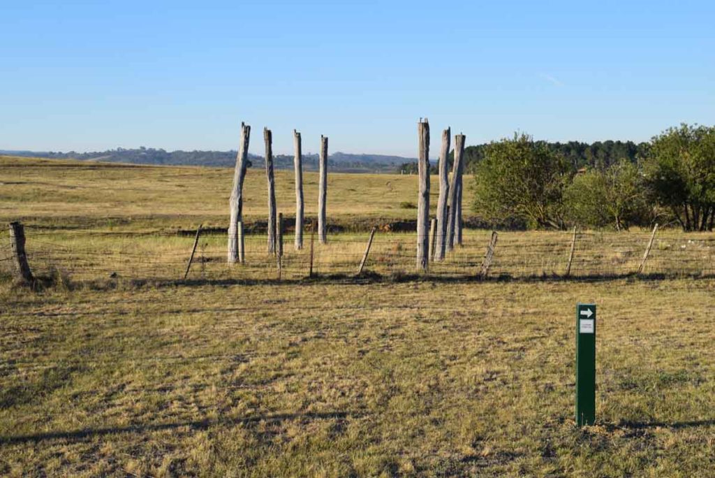
- Glenburn Hayshed Site
- Glenburn Hay/machinery
- Glenburn Homestead (when you leave the homestead turn left to visit the Sheep Dip and yards next before moving on back up the hill to the Kowen school site otherwise you will miss it)
- Glenburn Sheep Dip and Yards
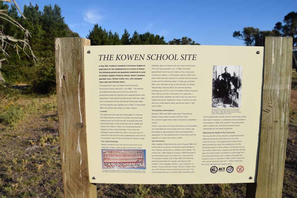
- Kowen School Site
- Charcoal Kilns Site
- Sheep Loading Ramp and yards
- Argyle Homestead
- Coppins Homestead Ruins
- Curleys Homestead Site
- Colliers Homestead Ruins
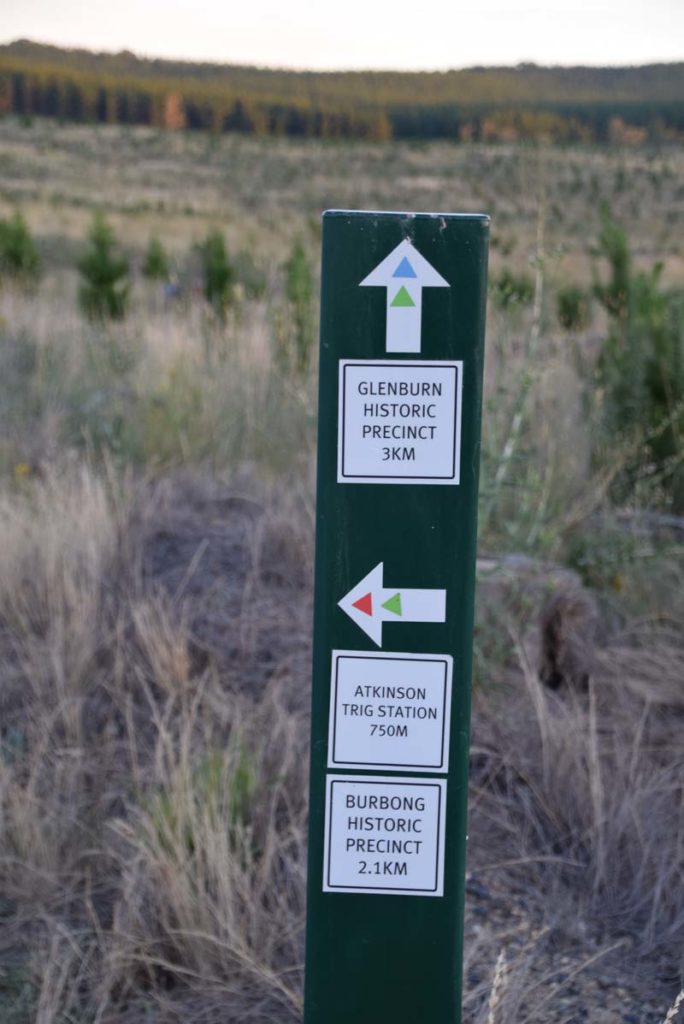
- Atkinsons Trig Station
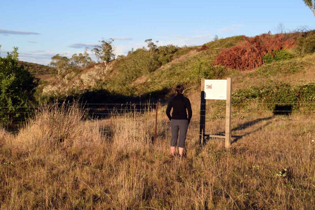
The trailhead has some very informative signage and you can also pick up a small pamphlet that clearly points out what you will see on the trail. The trail markers are well set out and you just need to pay attention at the right times to ensure that you follow the colour coded trail markers. In this case by doing the loop trail you are following the green trail blazes. In walking the three trails on seperate days I started just after 6:00am in the morning on each day due the the forecast high temperatures in mid summer and given that these trails are relatively exposed do them early during the hot parts of the year. In the cooler months the starting time is really up to you.
This is a great 12.6km walk with lots to see and in addition this is a dog friendly trail. Please remember to keep dogs on a leash as there are lots of Kangaroos and livestock in this area.
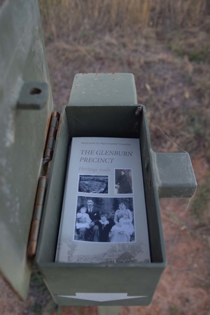
Brochure holder at the trail head
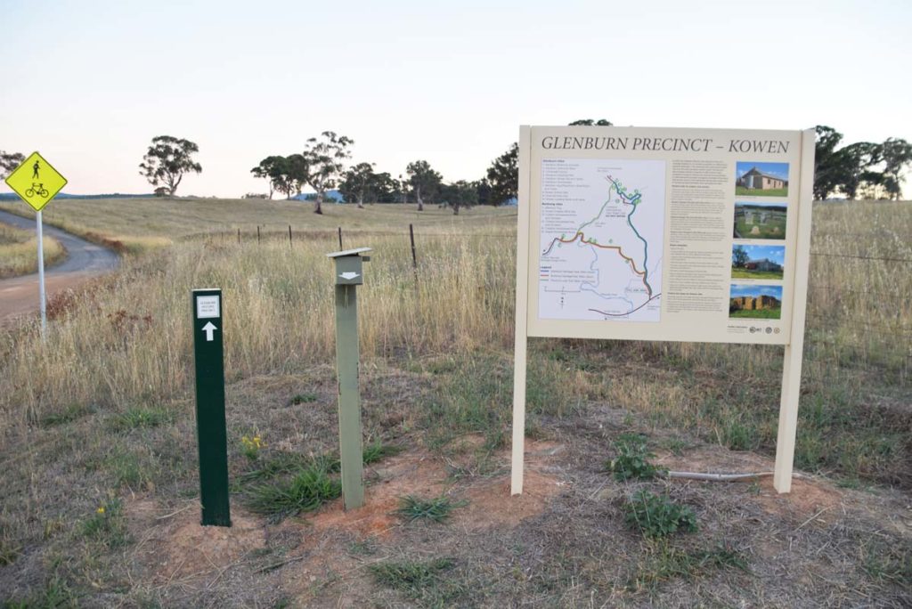
Trail head signage
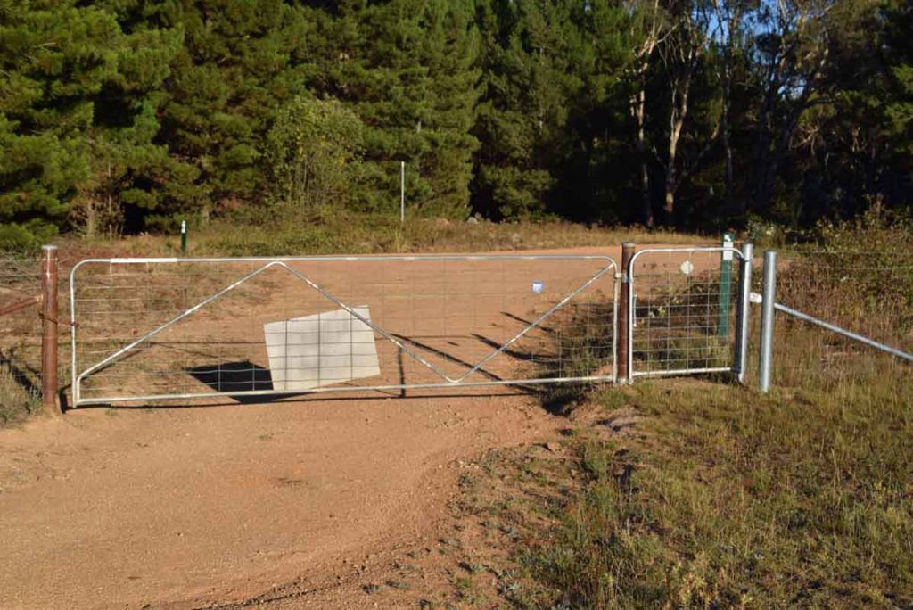
Trail head. There is a small open gateway on the left of the yellow gate
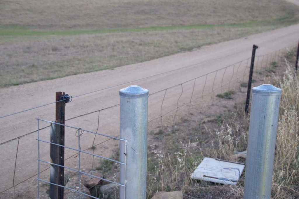
Keeps your hands away from the side property fence as you walk through the gate as the fence is electric
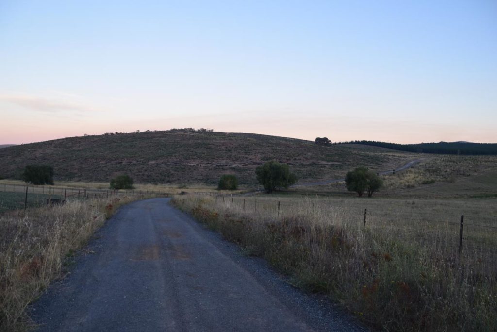
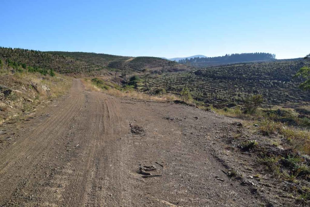
Much of this trail is management road with smaller sections on open grassland. The trail is not heavily used, mainly because no-one knows its there
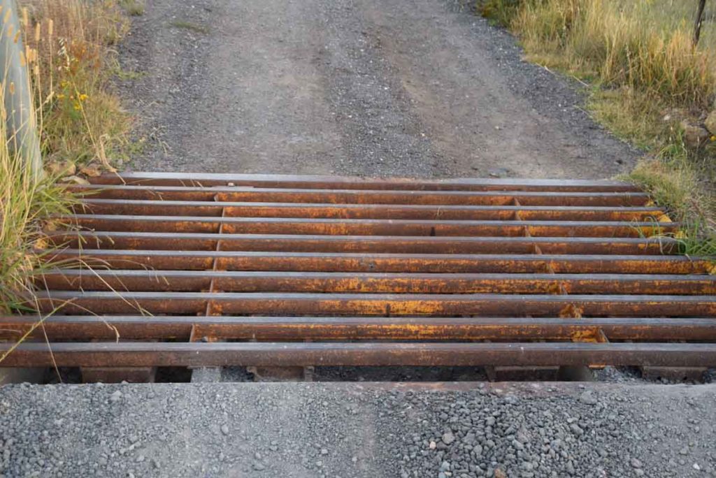
You will have a couple of cattle grates to cross on this trail
The three trails that make up this precinct are colour coded. Follow the correct colour for your chosen trail. The green trail (the Precinct Loop Trail) is a loop that combines the other two trails
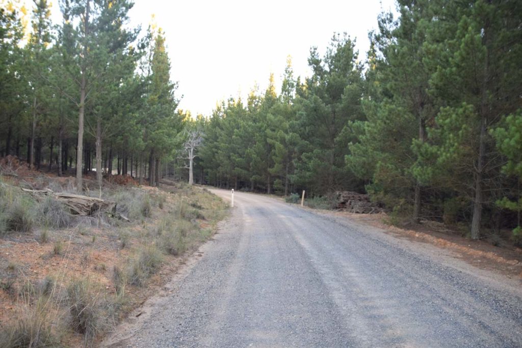
Part of the walk is through pine forest
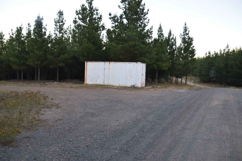
Keep walking past this container
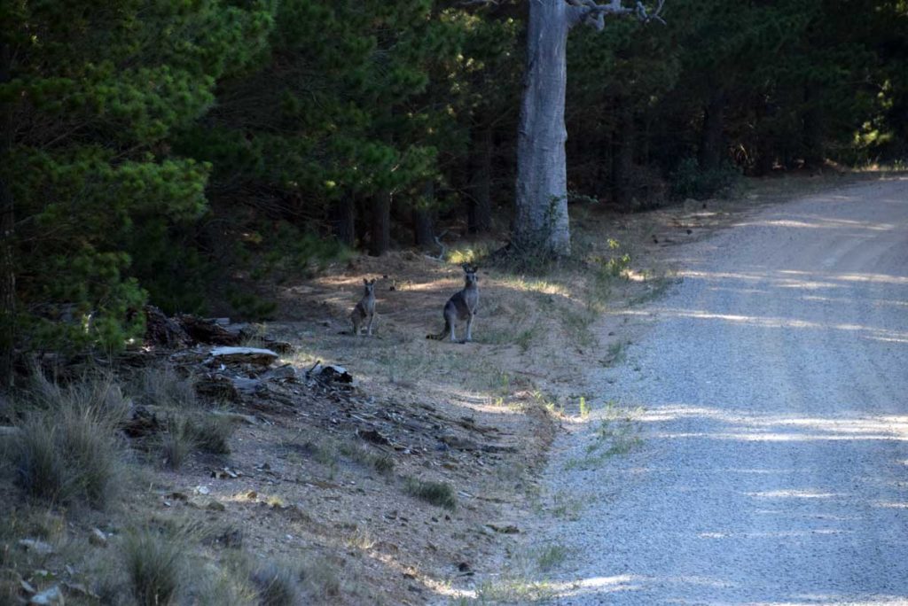
The Kangaroos are very timid and if you want yo take photos then do it from a long distance
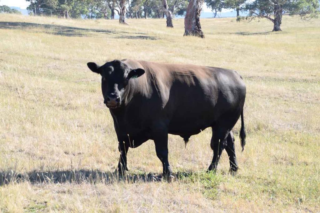
On the other hand the large bulls on the farm next door are quite happy to have their photo taken
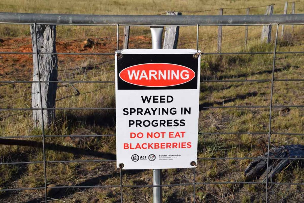
Being an old farm area there are plenty of blackberries but don’t eat them as there is a spraying program in progress
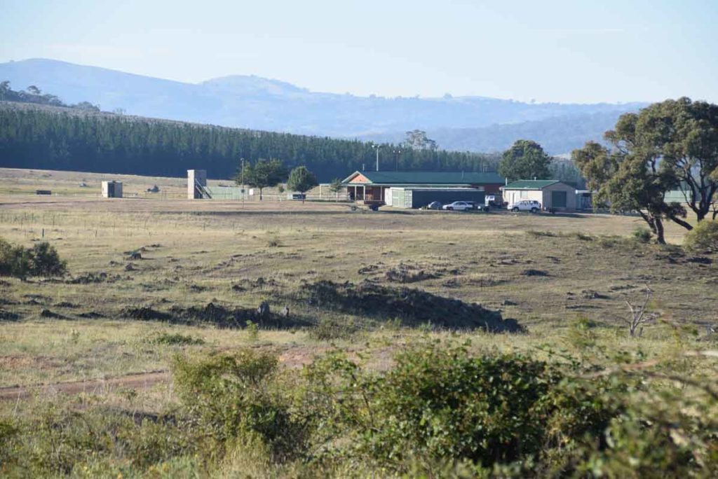
Shooting club. Keep out!
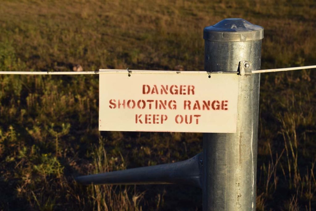
Keep out, shooting range! This walk skirts the shooting range
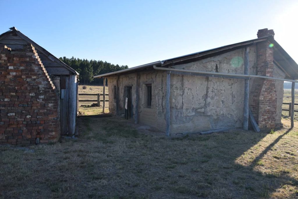
Shearers quarters and woolshed
Shearers quarters
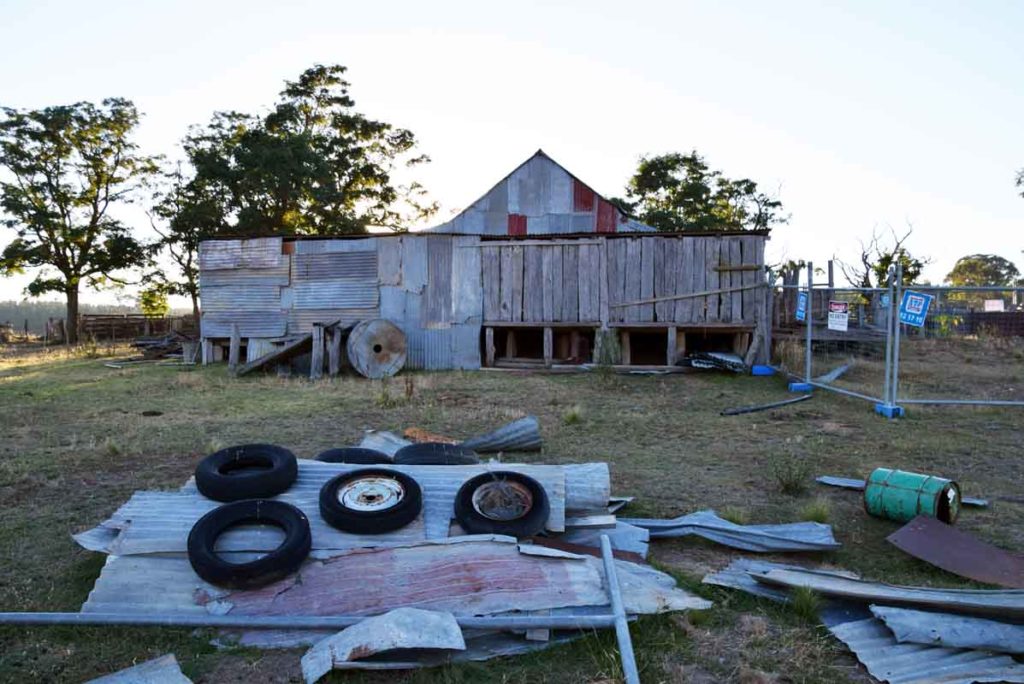
Woolshed
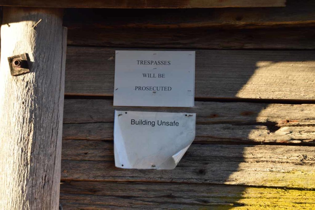
Warning sign on the woolshed. Keep out as its unsafe
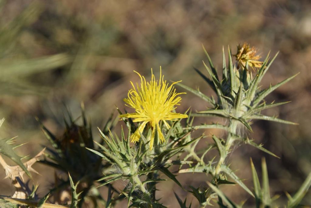
Thistle in flower. It’s a weed but pretty all the same
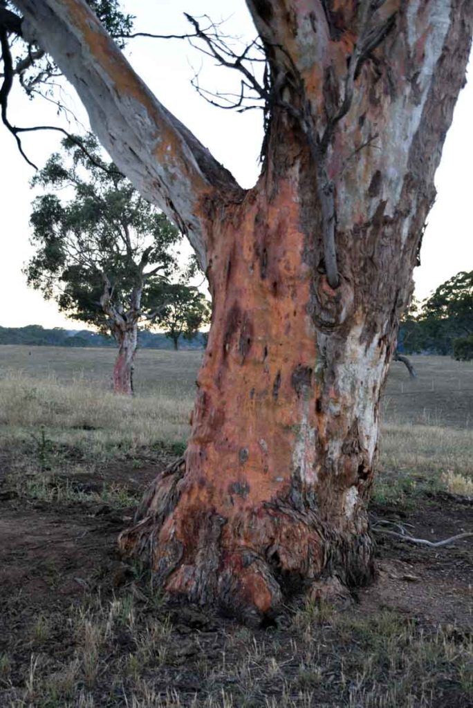
Colourful tree bark
Walk past the woodshed and head towards the paddock and though the gate and you will see a sign directing you to the graves
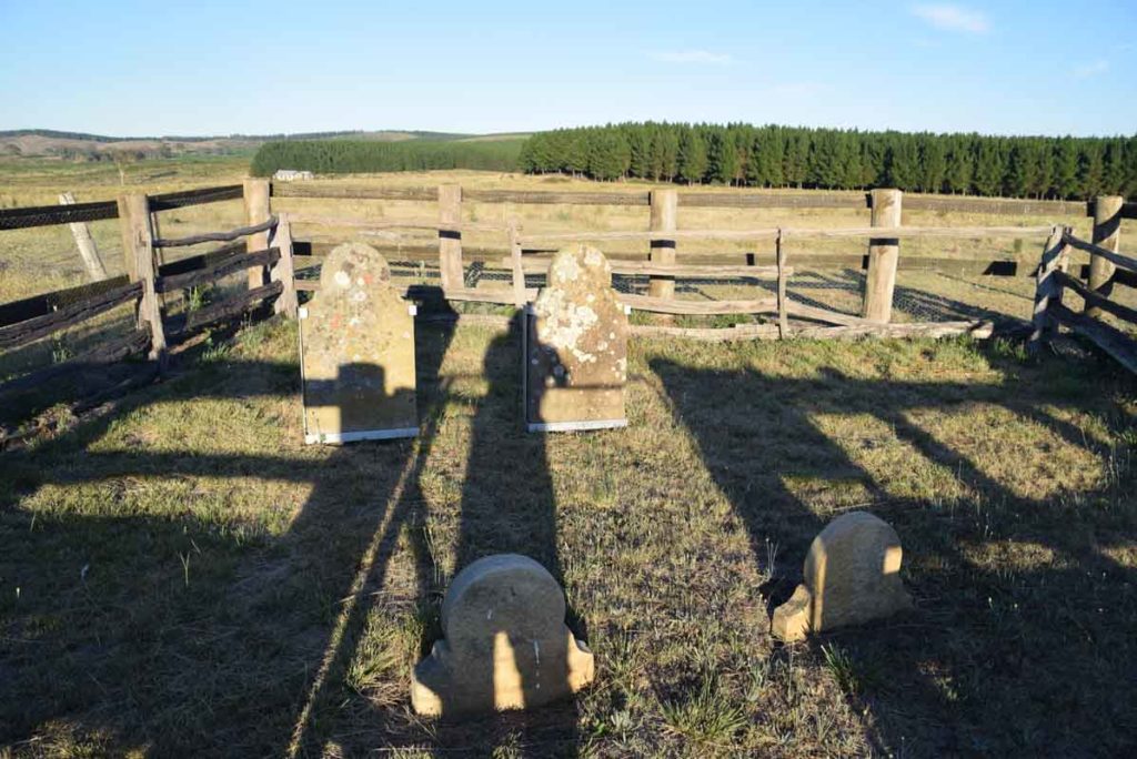
Grave site
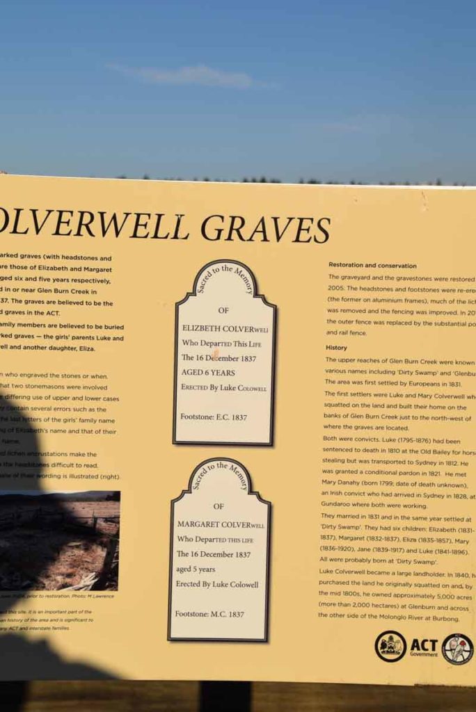
These graves are from 1837 and are some of the oldest graves in the Canberra Region predating St Johns Church
Remains of the hay shed
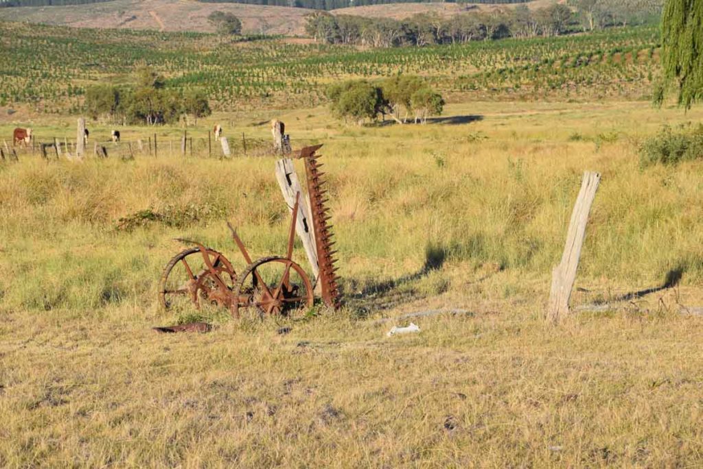
Old farm machinery dots the landscape
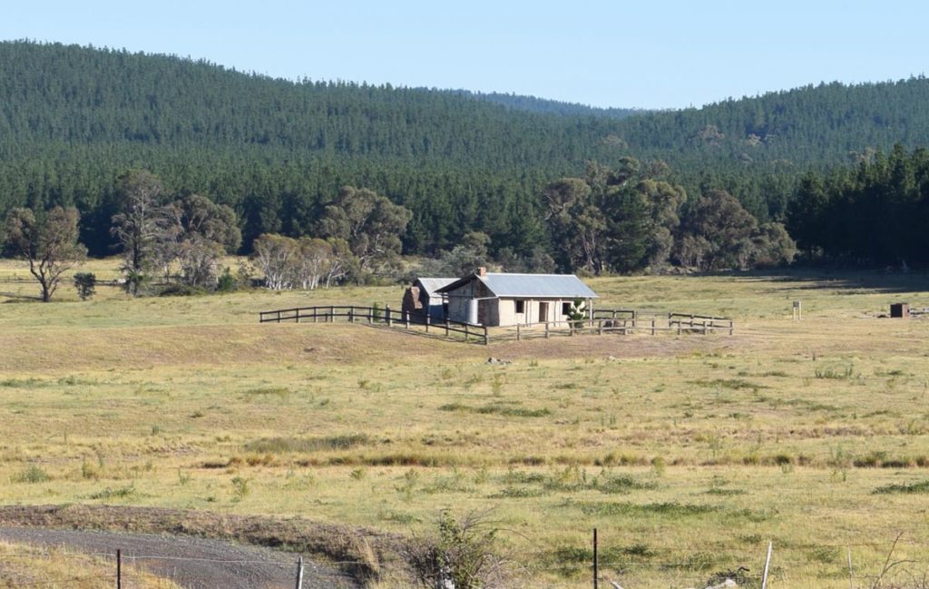
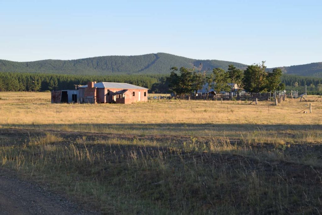
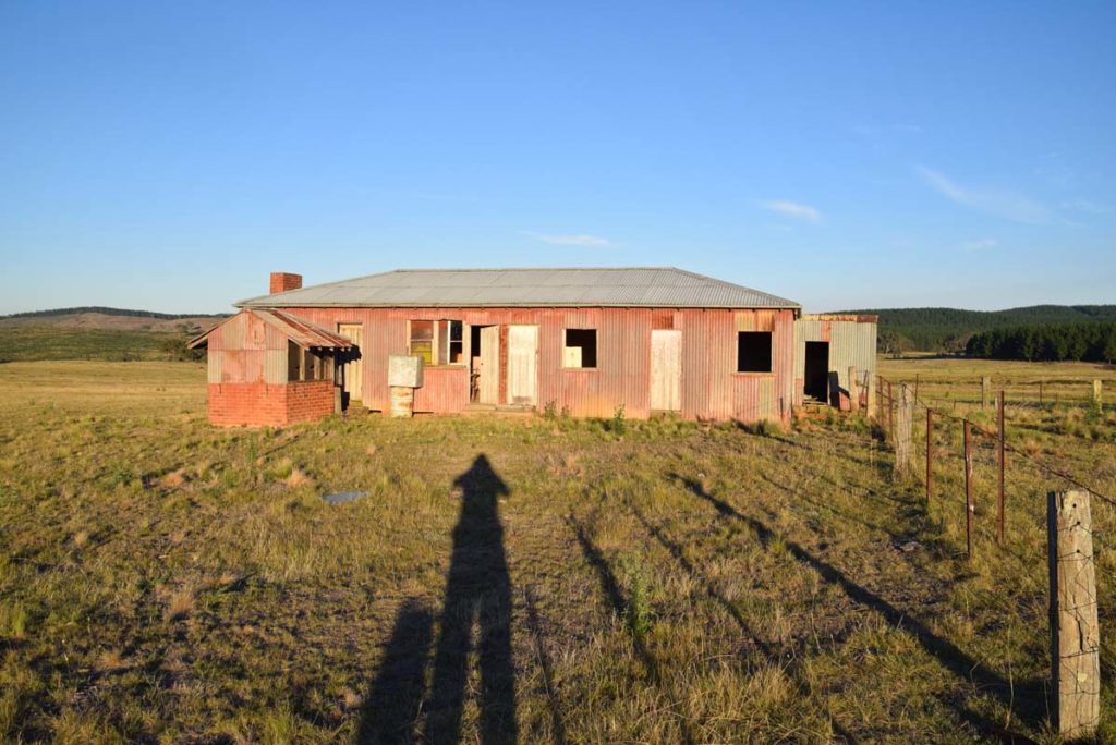
Glenburn Homestead from a distance
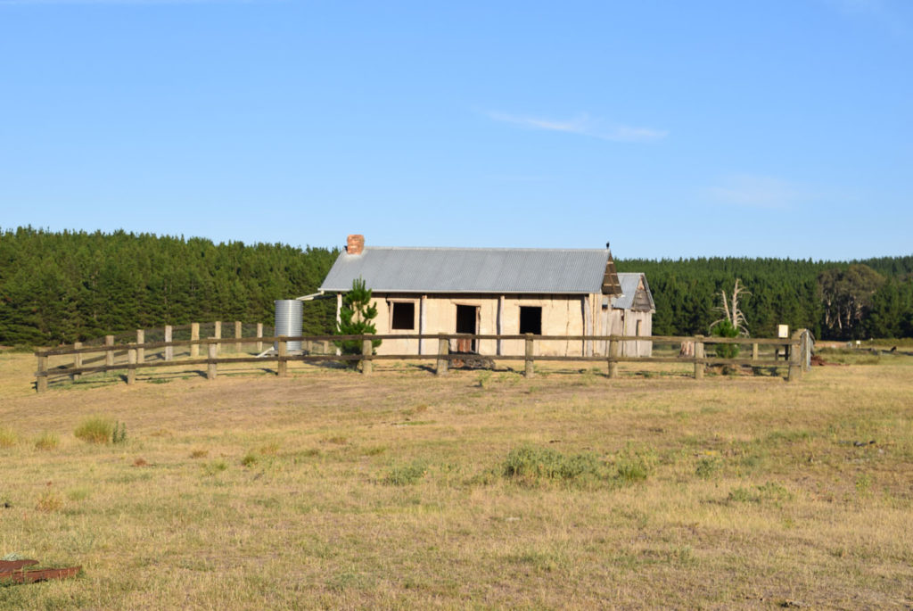
Glenburn Homestead
Rear of the Glenburn homestead
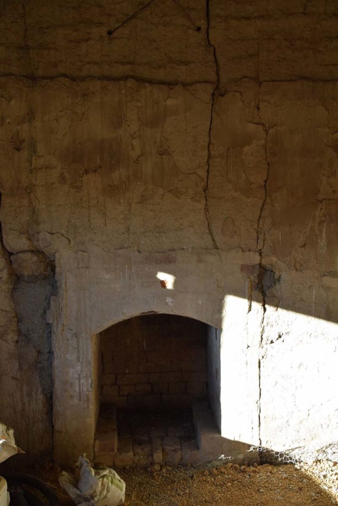
Fireplace inside Glenburn homestead
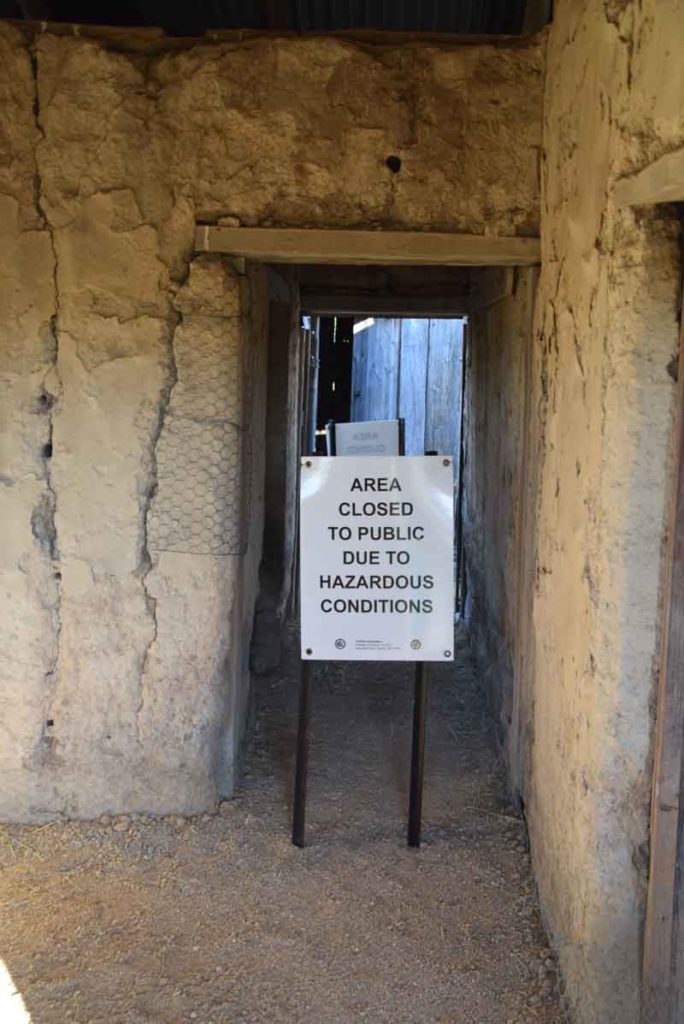
While you can enter the homestead there are areas you need to keep out of for safety reasons
The small shed at the back of the homestead serves as a lunch stop or a respite from the heat or the rain
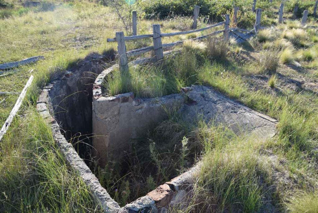
Sheep Dip and yards. List this site immediately after visiting the Glenburn homestead before turning back towards the homestead and heading up the hill to continue the trail. The get to the Ship dip site go almost to the gate of the shooting club to allow you to move around the large erosion gully/water course
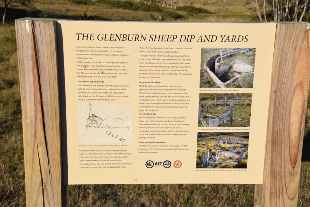
Sheep yards Signage
As you leave the Glenburn homestead head to to the sheep Dip site first. From there walk back towards the Homestead site head up the hill to continue on the Precinct Loop Trail
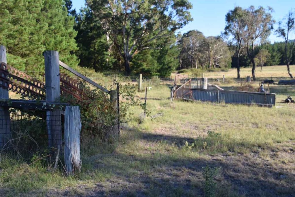
Sheep loading ramp and yards
Go though the gate when you reach the fence near the old school site head towards the Burbong section of this walk
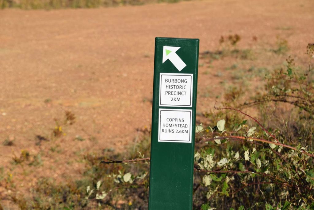
Follow the green blazes as you go
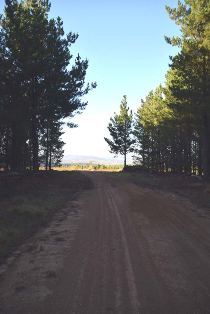
Once you have gone through the gate you will have a short section of shaded pine forest before you are back in the open again
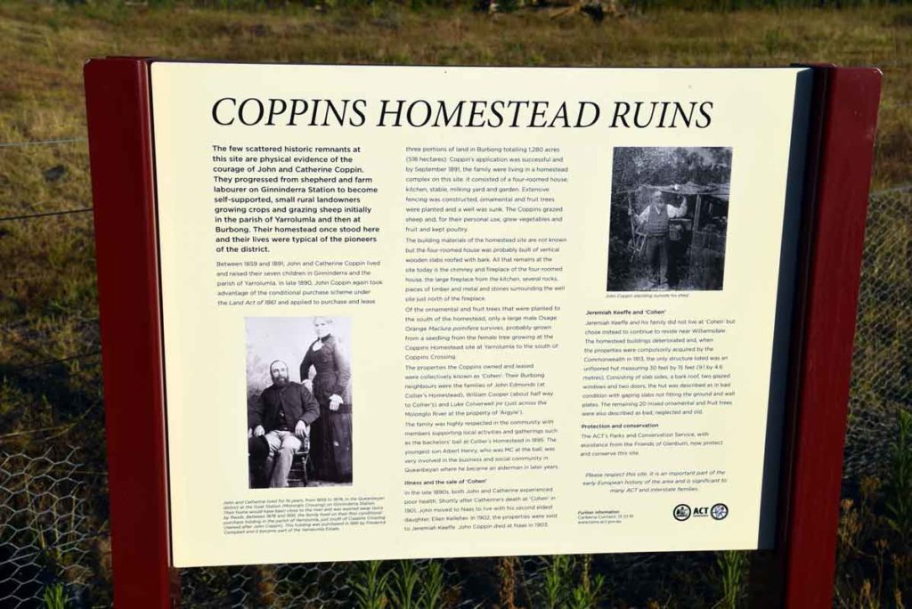
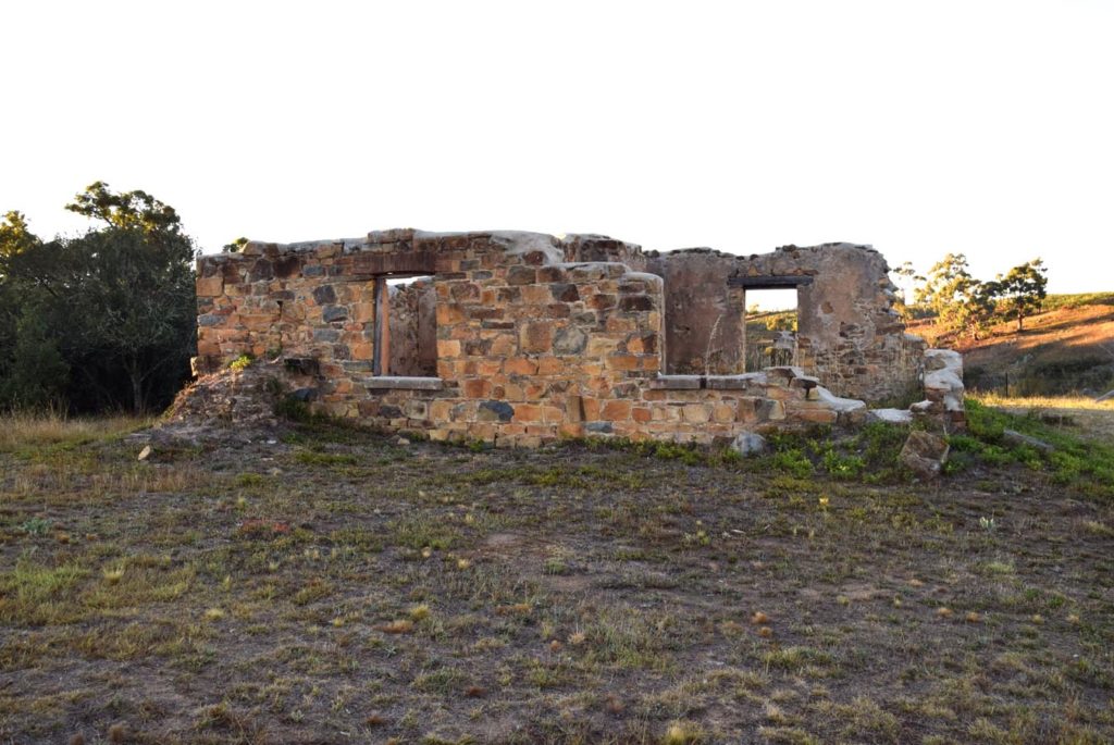
The next heritage site on the loop trail is the Coppins homestead
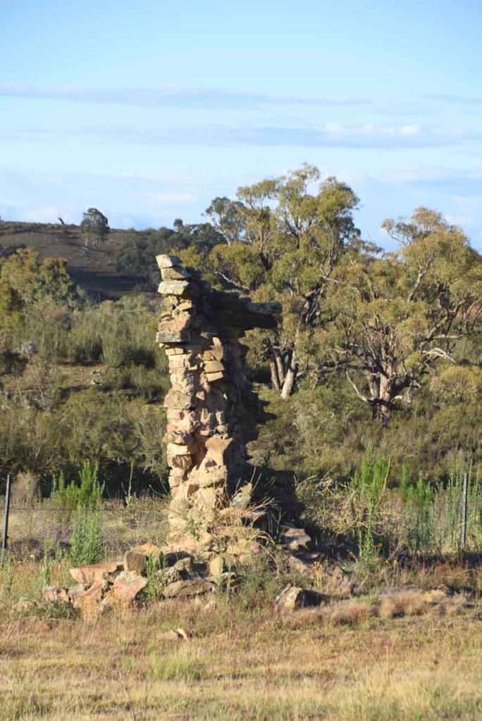
Coppins Homestead ruins
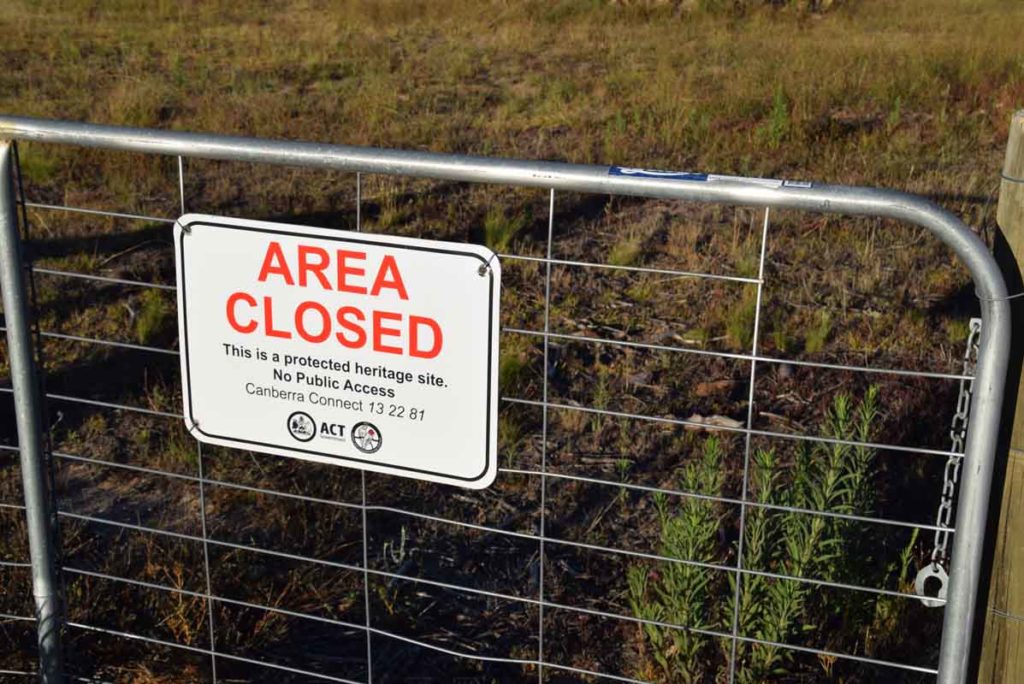
The Coppins Homestead ruins are very unstable so you can only view the ruins from outside the fence
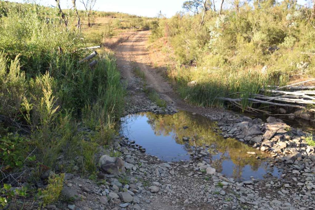
Molonglo River crossing to get to Argyle Homestead
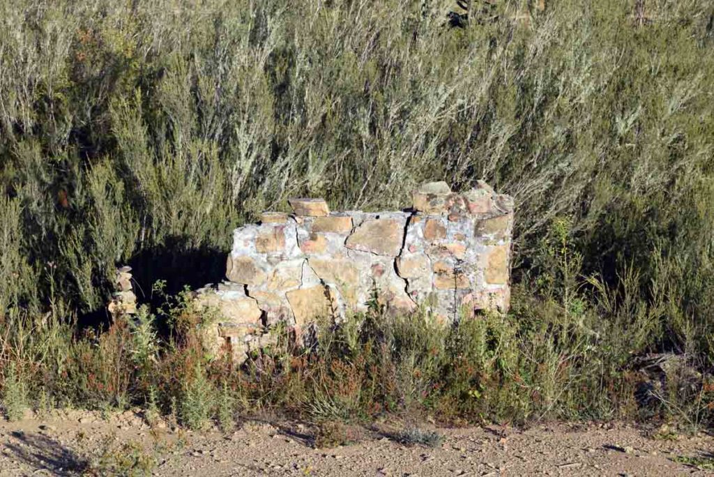
Arglye homestead ruins. This is about all that is visible of these ruins. Turn around and go back the way you came once you leave here
Turning left at this junction to continue on the loop. The sign is not so obvious at this point
Curleys Homestead Site
Colliers Homestead ruins and orchard
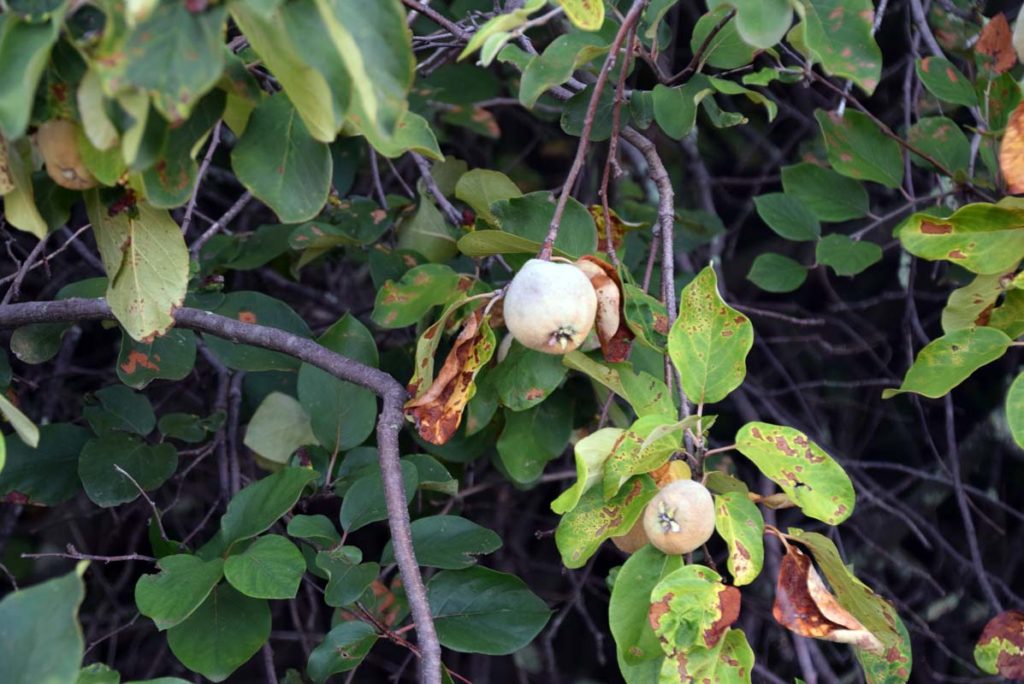
The is an old orchard at the Collier Homestead ruins that is loaded with both Quinces and Plums. The plums are reasonably tasty and if your into using Quinces there are probably enough on these trees to supply the entire Canberra population
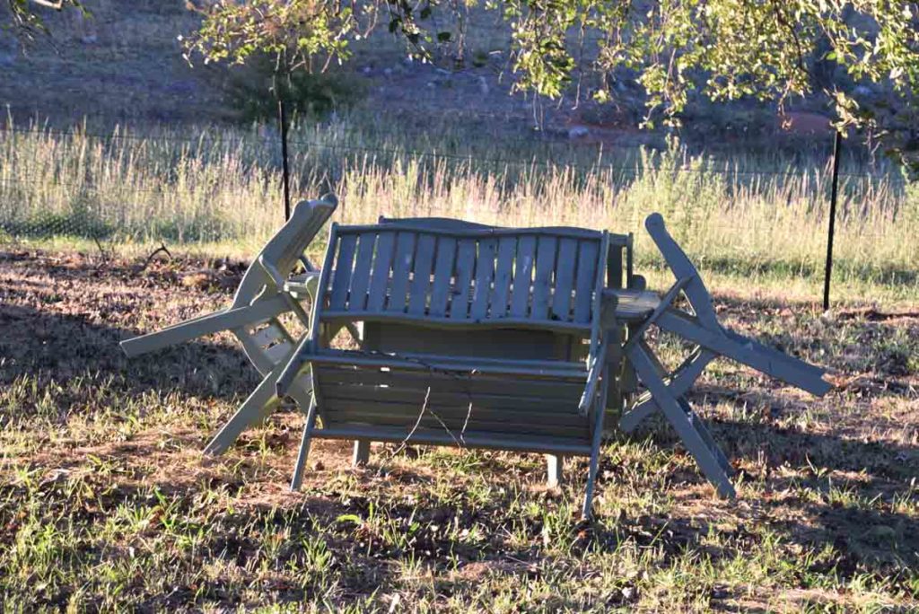
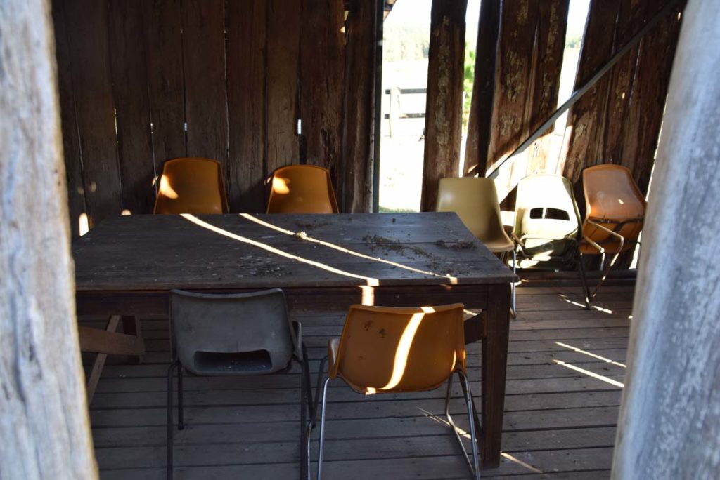
If you are looking for somewhere to take a break then there are a table and chairs in the rear corner of the Colliers Orchard
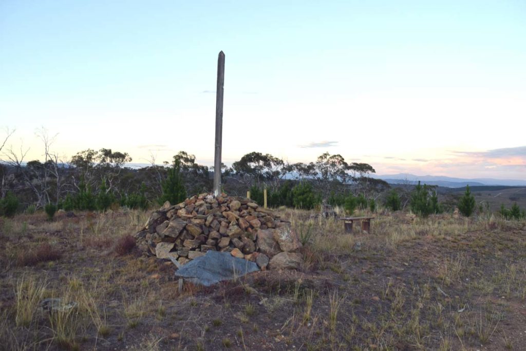
Historic Atkinsons Trig marker and the last heritage feature on this loop trail. From here head back down the hill and turn right (flow the signs) towards the trail head
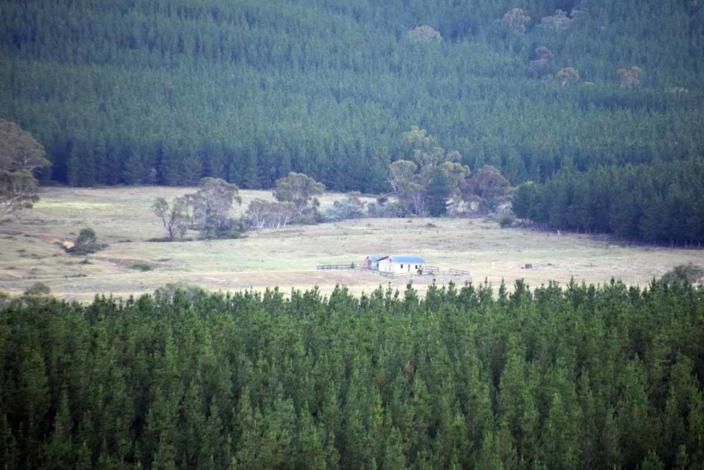
From the hilltop at Atkinson’s Trig you can see back to the Glenburn Homestead in the distance
Getting There
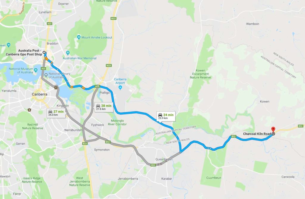
The hardest things about this walk is getting to the trail head. I have driven past this trail for the last 8 months without realising it’s there
- From Canberra drive through Queanbeyan and head towards the coast.
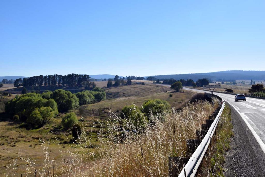
- Once you reach Burbong Bridge over the Molonglo River you only have about 1km to go
- You will see a large brown site indicating that this site is only 200 metres away and at about the same time you will notice a large timber farm shed just off the road so slow down
- There is an access road just past the shed on the left side of the road which has two driveways. Don’t go into the farm as its private property but look for the sign indicating the Canberra Clay Pigeon Shooting Club. The trail head is about 80 metres down the road
The whole trip from the the Canberra GPO is only about 24km which is one of the closet non urban walks to the centre of Canberra
Burbong Bridge over Molonglo River. Notice the railway bridge to the left
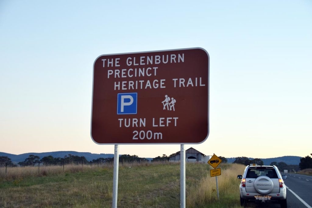
Sign and shed not far past the bridge
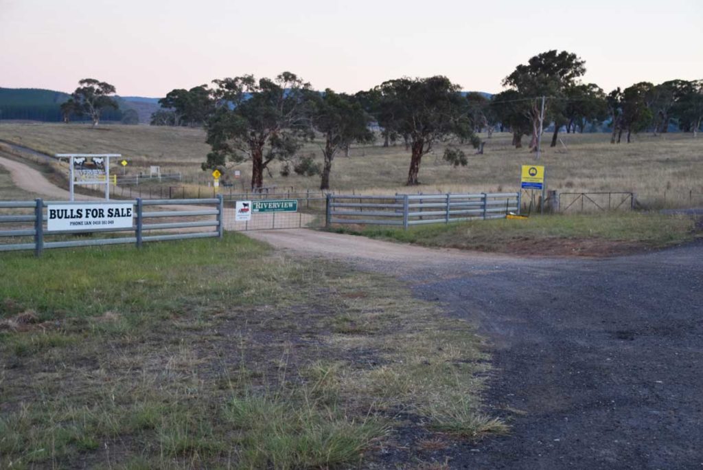
Entry road. The gate to the left is private property. The open gateway to the right with the shooting club sign is what you are looking for
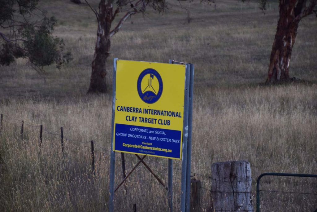
Shooting club sign
Looking back towards the highway
Things to Know
- Phone: There is good phone signal on this trail which is a rarity on many Canberra trails
- Water: You need to bring your own water although there are some small water holes that you can you if you have a filter
- Toilets: There are no toilets available so bring a trowel and toilet paper
- Trail: This trail is a bit exposed during mid summer so walk early if the forecast is hot
- Dogs: Dogs allowed (on leash)
- Camping: Camping not allowed
- Other:
- This walk is done in as a connected loop
- If walking in mid summer months start early to avoid the heat and bring a good hat
Disclaimer
This walk was undertaken by the team from Australian Hiker