Corn Trail Walking Track NSW (15.4km)
Monga National Park
Nearest Town
Braidwood, NSW
Starting Location
Dasyurus Picnic Area
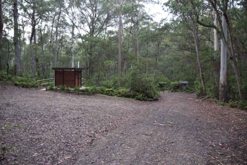
Dasyurus Picnic Area. The Corn Trail trail head starts at this picnic area which has toilets and easily accessible parking
Finish Location
Dasyurus Picnic Area
Best Time to Travel
Year round
Corn Trail Walking Track Review
With some notable exceptions I have lived in Canberra for most of my life and like most Canberrans driving down the Clyde Mountain to the NSW south coast is a way of life. My first memory as a child that walking tracks existed was over 40 years ago (does that date me?) driving past the trail head to the ‘Corn Trail’ near the top of the Clyde Mountain. In fact the old access point to the Corn Trail, while still visible from the highway near the start of the descent down the Clyde Mountain was shifted to a nearby access road with the aim of preventing accidents on this very busy road. So after passing this trail for the umpteenth time I finally decided that enough was enough and it was time to do this walk.
The Corn Trail was originally used by the local Indigenous population as an access way between the tablelands and the south coast and this turned into an access point for European settlers on pack horses. The trailhead now starts on a signposted access road into the Monga National Park around 1km further back towards Canberra from the original trail head. This newer trail head is easier to access and well off the road and the busy traffic.
The trail head is now a secluded picnic area although you can still hear the traffic from the nearby highway. There is a single pit toilet at the upper trail head along with car parking and a nice location to have a break. This walk starts just off the bank of the Mongarlowe River which is next to the car park and you have the choice of picking your way across the rocks or walking through the water. If you do this walk after heavy rains expect to get wet feet so bring an extra pair of socks.
Before I get into discussing the trail proper be aware that while the parks website states that this trail is 12km long the trail head signs say 15km. Not a great problem in itself but on the day I was doing this walk I had originally planned to walk down and then walk back up thinking I would be walking 24km. I hadn’t allowed enough time for an additional 5km so it was lucky that I had the option to do a one way hike and get picked up at the lower trail head.
One thing that threw me on this trail was that the first 4km is actually uphill which is very confusing when you know that you are heading down the mountain. Once you get into the walk itself you realise that you are skirting the large steep gullies that are very visible from a car and following the ridge lines down the mountain.
The trail heads at both end have good interpretation material and trail information but the directional signage on this trail is very limited and just enough keep you on track. Having said that don’t rely on it as there are a couple points where you need to pay attention and use common sense to keep you on track.
The trail itself is reasonably well worn, sandy, easy to follow, and with a couple of exceptions not overly steep (for hikers). Horses can use this trail although this may present more of a challenge. Some of the paths on the lower half of the trail also slope very quickly away and while not dangerous you want to pay attention to your footing.
The vegetation on this trail changes throughout and at one point you are in a rainforest environment that is almost tropical so you definitely won’t get board. Animal life was a bit limited on the day I did my walk but I did come across a very large goanna sunning itself in the middle of the trail that moved so quickly up a tree that even though I had my camera in my hand it was too quick for me. I also disturbed a pair of lyrebirds that were most upset at me being there and let me know in no uncertain terms what they thought.
While the are some good vantage points this trail isn’t really about the panoramic views but instead about being in an remote, almost wilderness environment. I walked most of this trail by myself and found that I really enjoyed the solitude which gave me a chance to think without distraction and to just ‘be in the moment’ which is not so easy on the busier trails.
You have the option to do this trail as an end to end in which case I would start at the upper trail head at the Dasyurus Picnic Area. This will rely on having a non hiker with you or else doing a car shuffle. Alternatively you can choose to do this hike in both directions (30.8km) and return to your staring point. If you do plan to do this I would recommend starting at the lower trail head so the second half of your trip is downhill. The start point for this would be the lower trail head which is off No Name Mountain Road.
This trail is well worth walking but you do need a good level of fitness as well as needing to be comfortable in remote areas.
One last comment is that since we walked this track in early 2018 the 2019-20 fires and heavy rains have impacted this tercak so its going to look different to the images shown in this write up. As it is a remote walk that requires accessing dirt roads I would check the NSW Parks page on this walk for any trail closures.
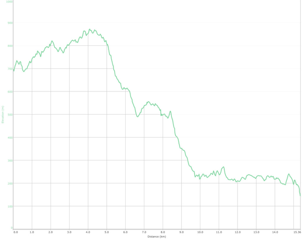
When starting from the upper trail head the first 4km is actually uphill before you start heading down
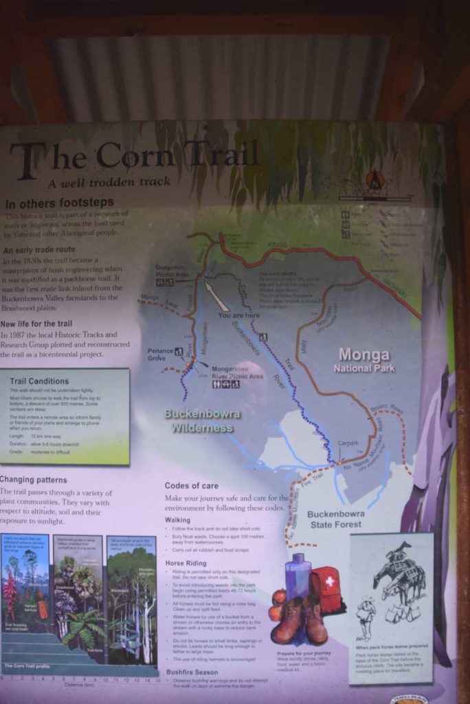
Trail Head signage
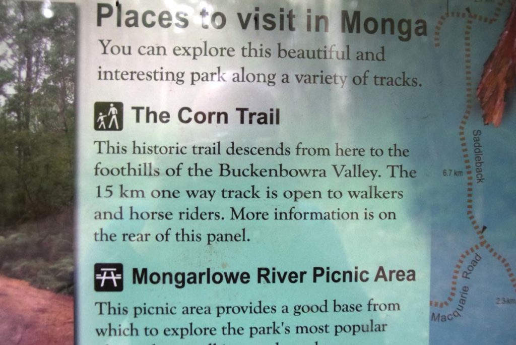
Trail head signage
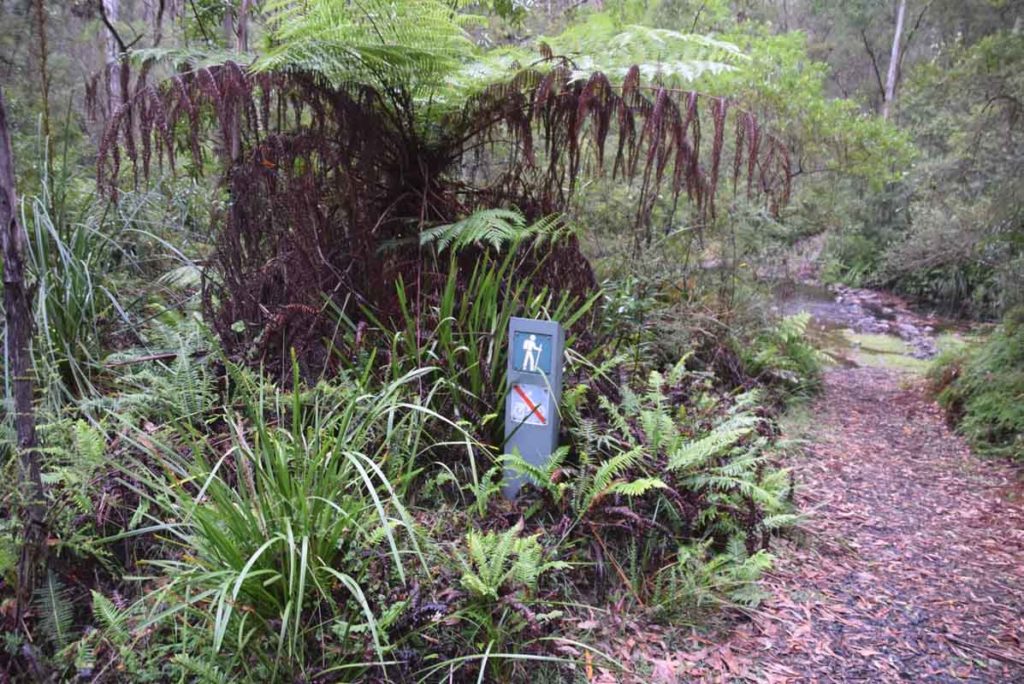
Walk Start
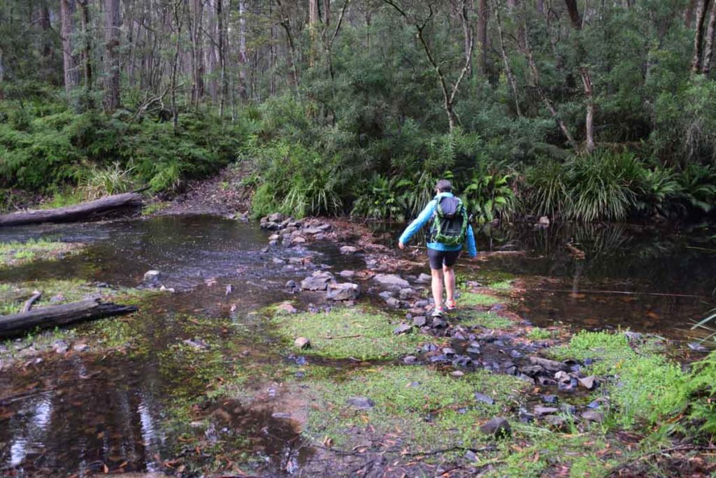
Over Mongarlowe River just as you start the trail. If there has been heavy rain bring an extra pair of socks just in case
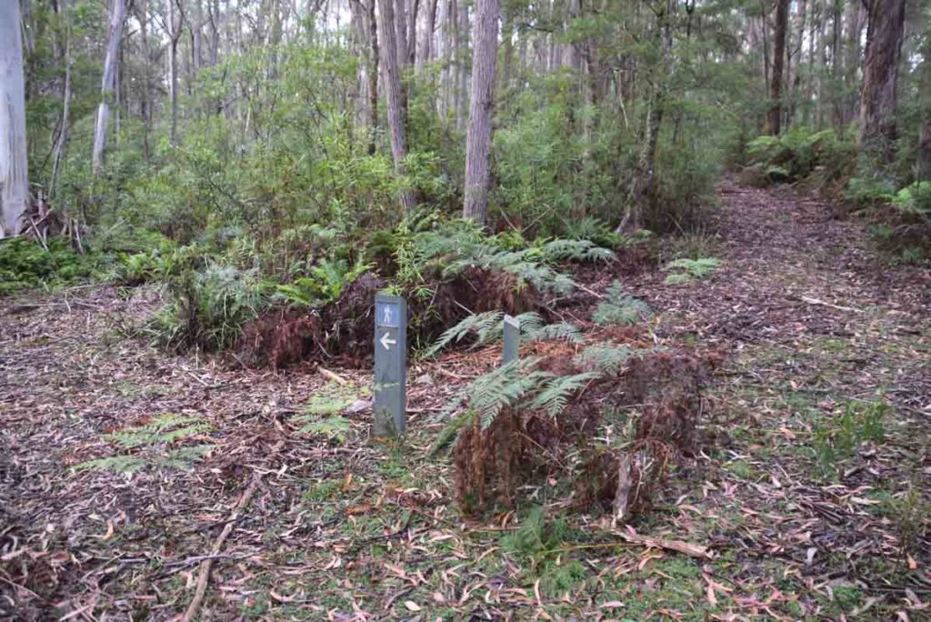
Turn signage is located at key points but you still need to pay attention and use common sense in a couple of areas
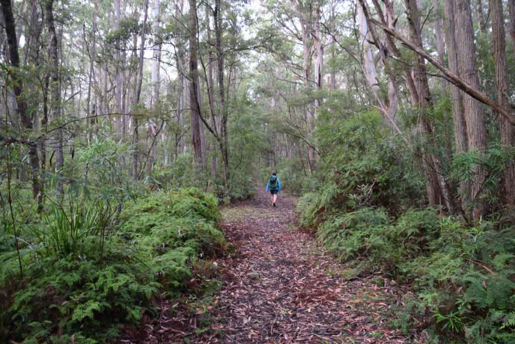
Path example near the start of the trail
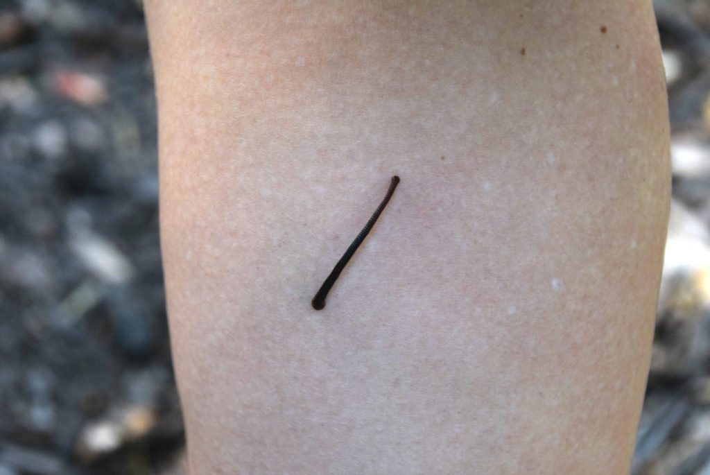
Leeches are common in this area so wear long pants
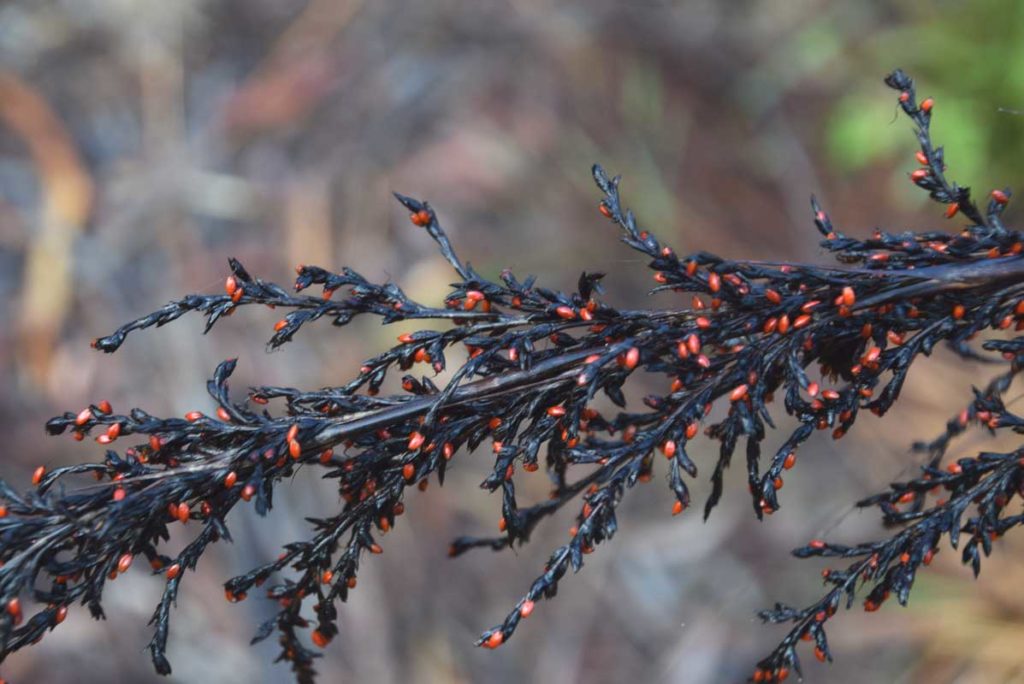
While the landscape is spectacular the small stuff is also a highlight
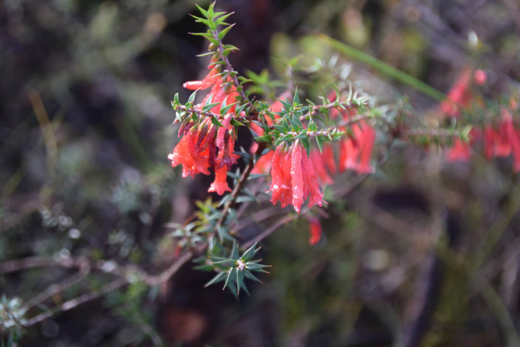
Epacris in flower
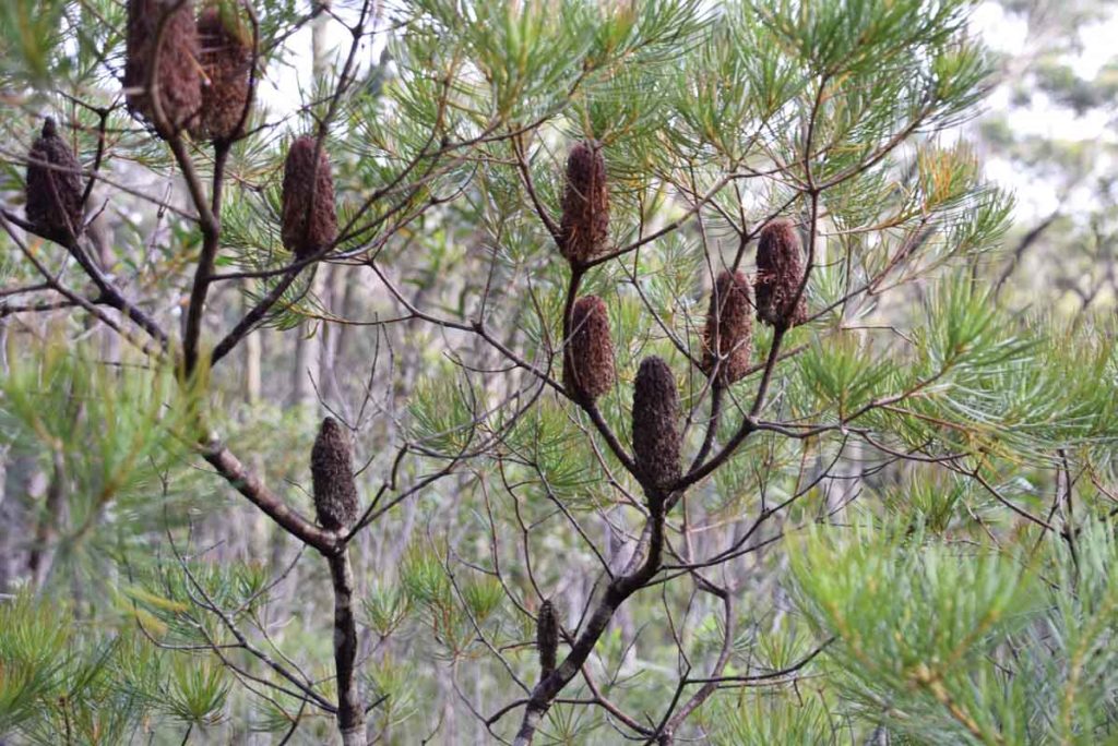
Old Banksia flowers
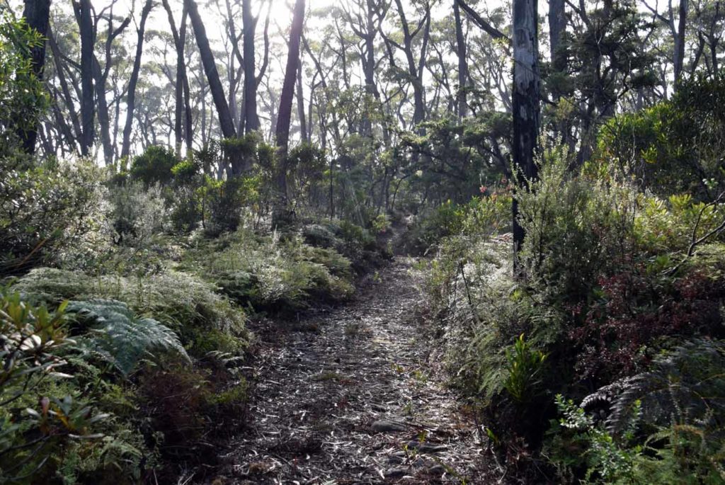
This trail is a pleasure to walk on with lots of variety
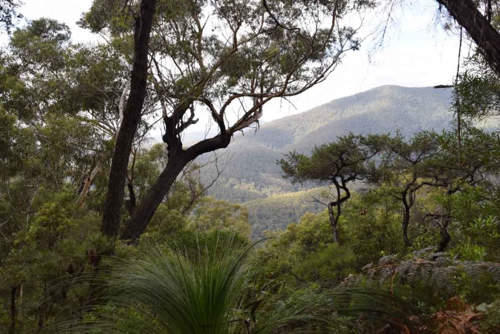
The views while not panoramic are still pretty spectacular
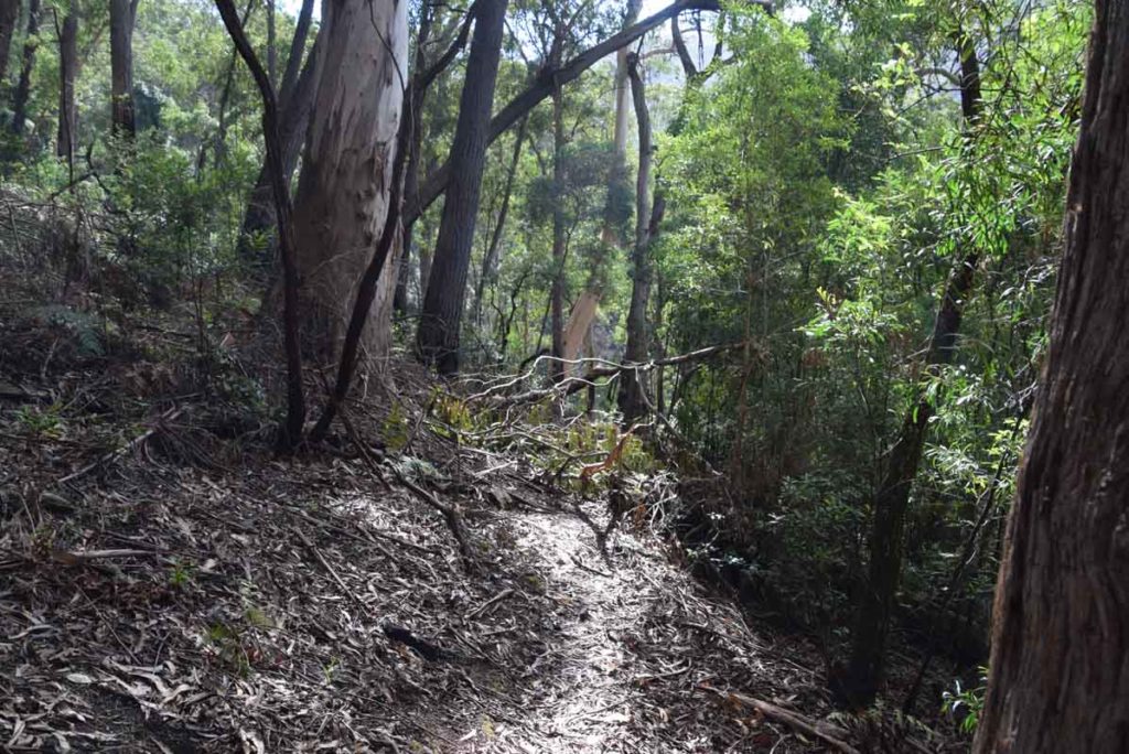
Fallen trees are present on this trail and you just need to move around them/go over them
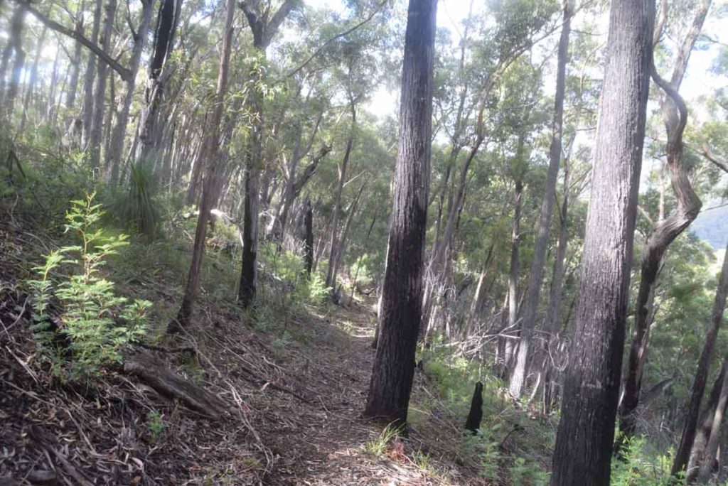
The vegetation changes as you go keeping you interested
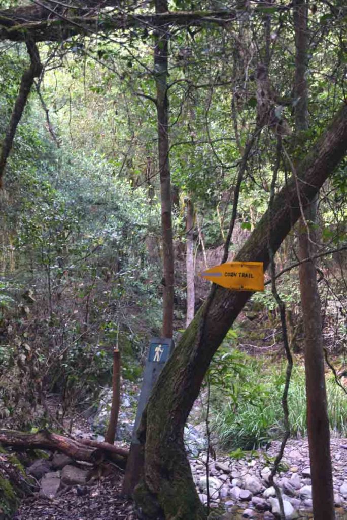
Follow the signage. When you see this sign you are just about to cross the Buckenbowra River which is the second of two river crossing on this trail
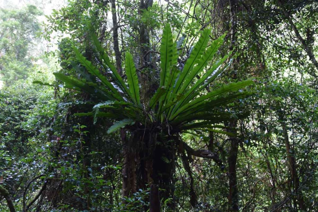
The vegetation around the Buckenbowra River is almost tropical
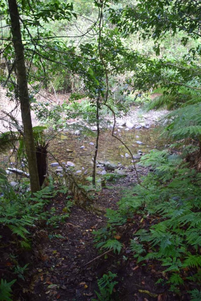
Pay attention as you cross the Bucjkenbowra river as it is possible to loose the trail here. You are crossing at a 45° angle
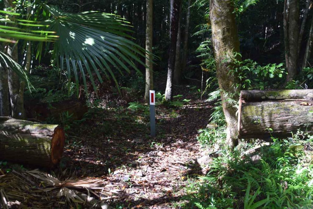
After you cross the Buckenbowra River follow these reflective red signs through the rainforest area. You can see the next sign as you go
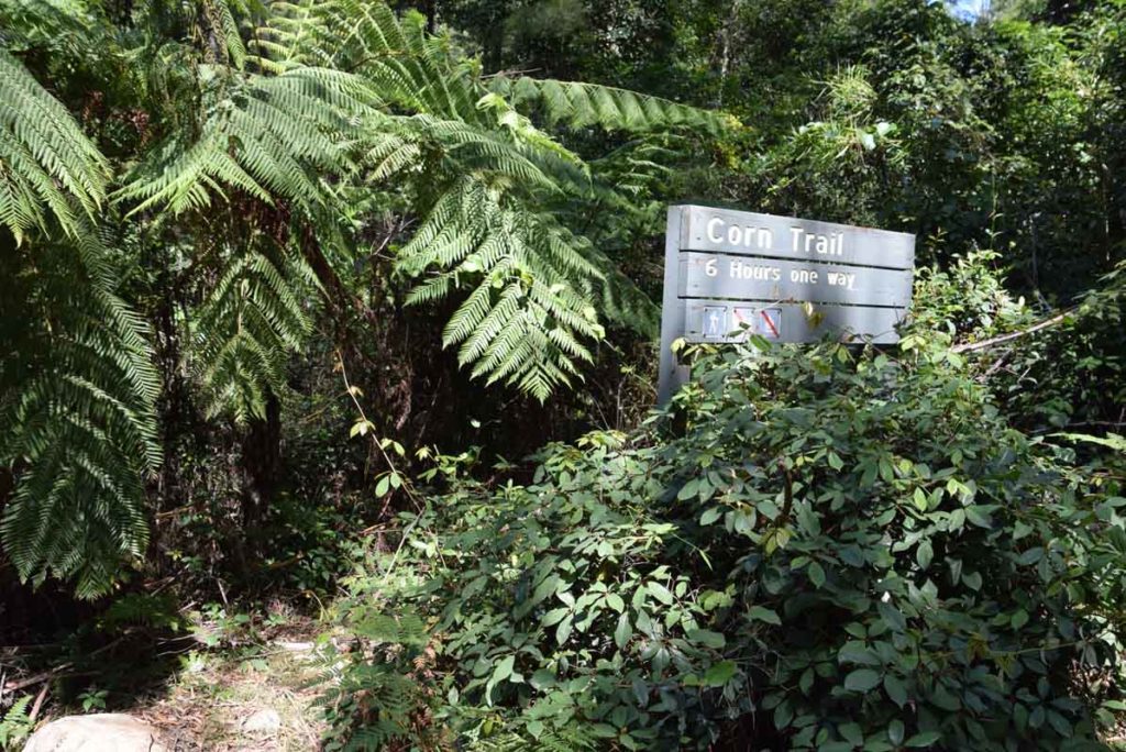
The lower trailhead sign
Getting There
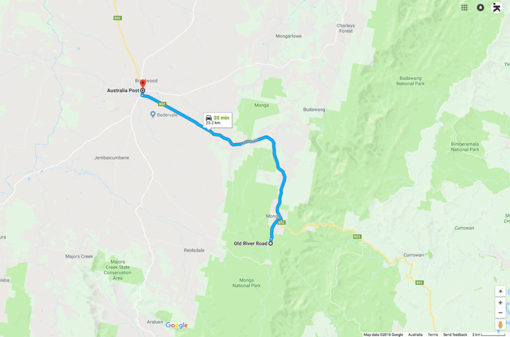
This trip took about 1.5 hours from the centre of Canberra to the Dasyurus Picnic area where you start the walk. From Braidwood to the trailhead is around 25 minutes
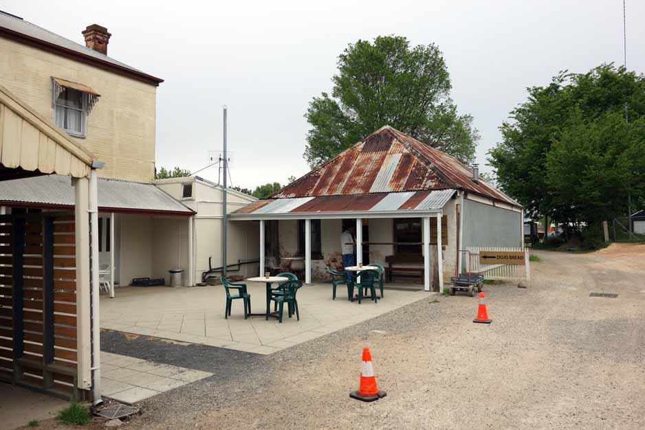
Dojo Bakery in Braidwood is one of the best bakeries in this region. Its well worth a visit but it closes at 1:00pm. They do excellent coffee, great venison sausage rolls, and a salted caramel slice to die for! The Dojo Bakery is down a small alley on the left side of the road just after you go over the pedestrian crossing in the centre of town
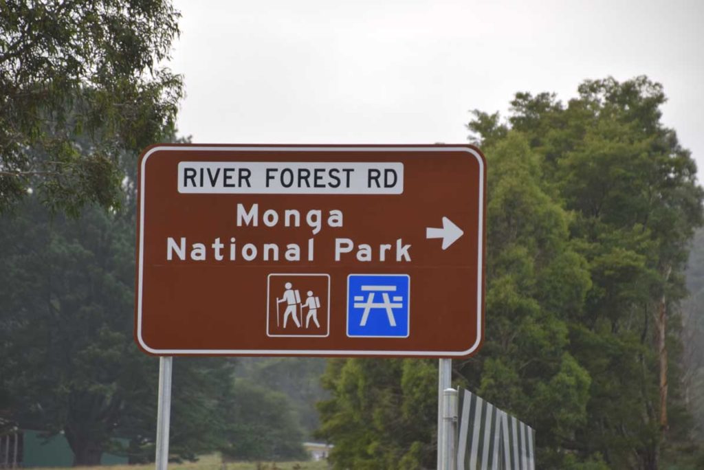
This sign is where you turn which is just before you hit the Clyde Mountain
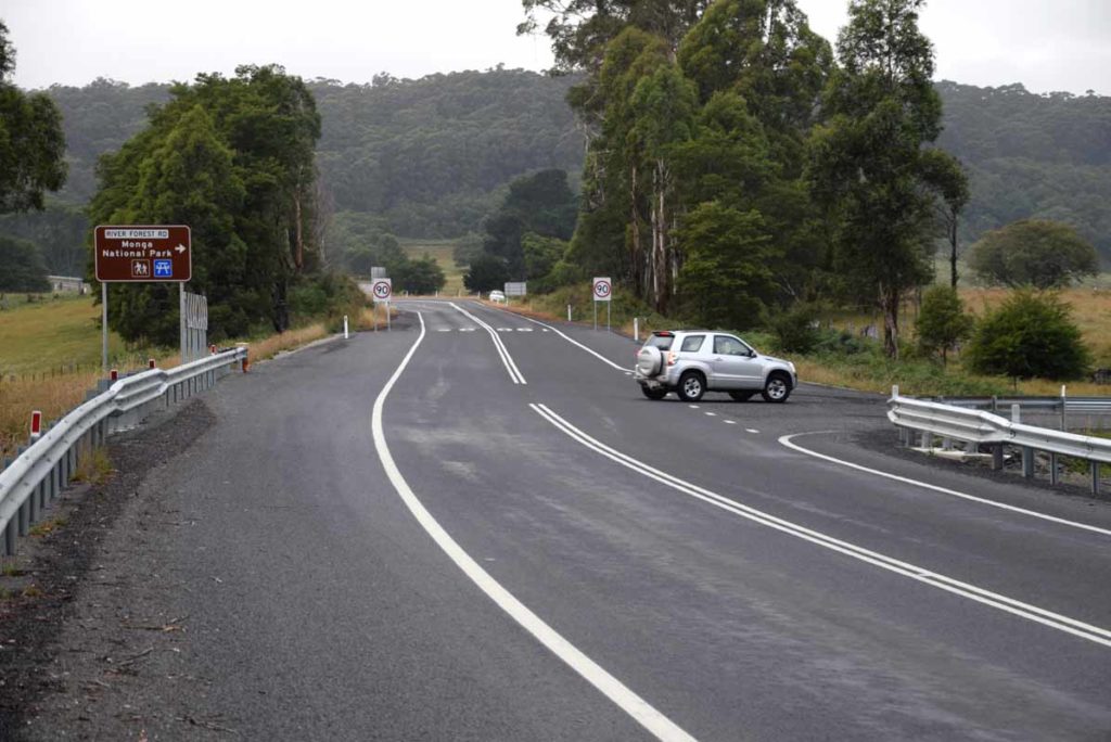
Turn off the highway here at River Forest road
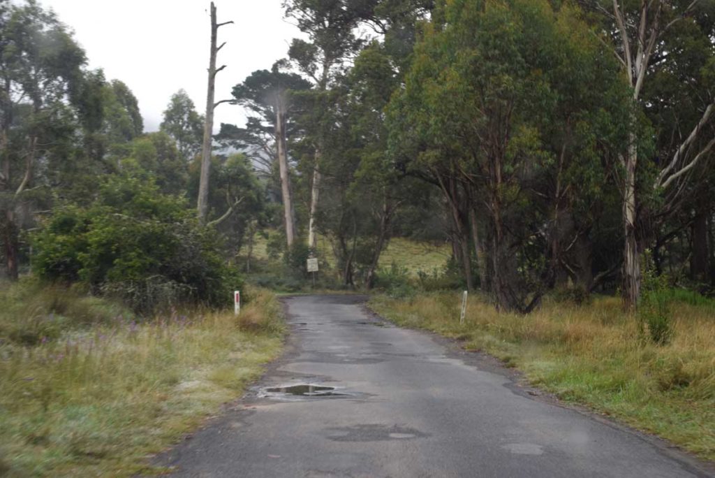
Once you have turned you have a short section of poor quality bitumen road
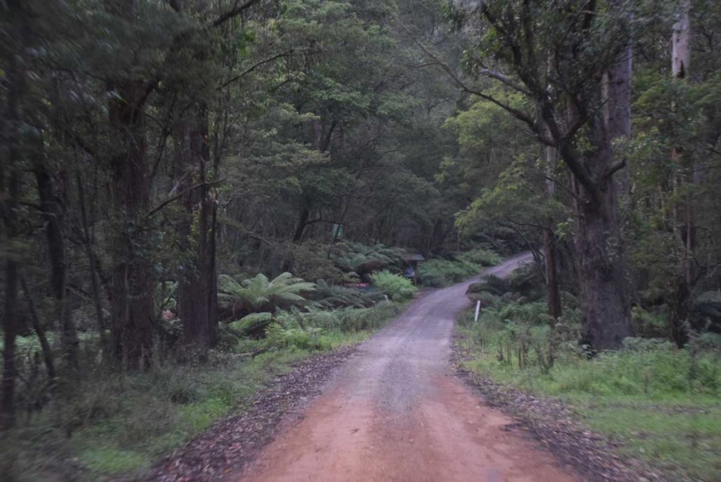
The bitumen road turns to unsealed road
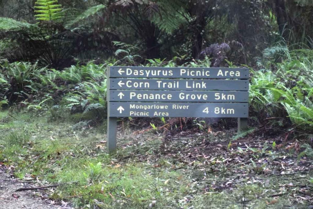
Look for this sign not far off the road that takes you to Dasyurus Picnic area which is where the walk starts
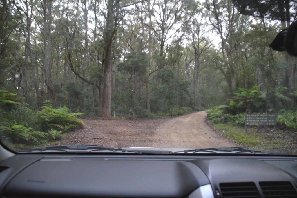
Turn off onto this road. The Carpark is about 500 meters from this turn off
The Lower Trail Head
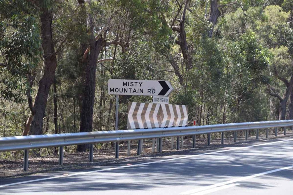
The turnoff to the lower trail head is 10.5km on the highway from the upper trail head. Look for this sign. Please note this road is only for 4WD/AWD vehicles at present
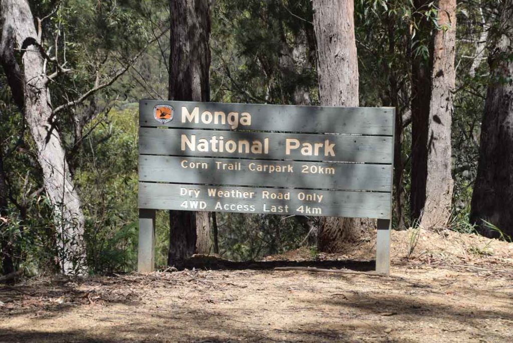
Lower trail head directions. You have about 20km on unsealed road to reach the lower trail head
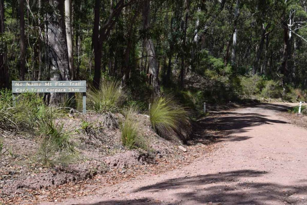
Turn off Misty Mountain road onto No Name Mountain Road and this will take you to the lower trail head park
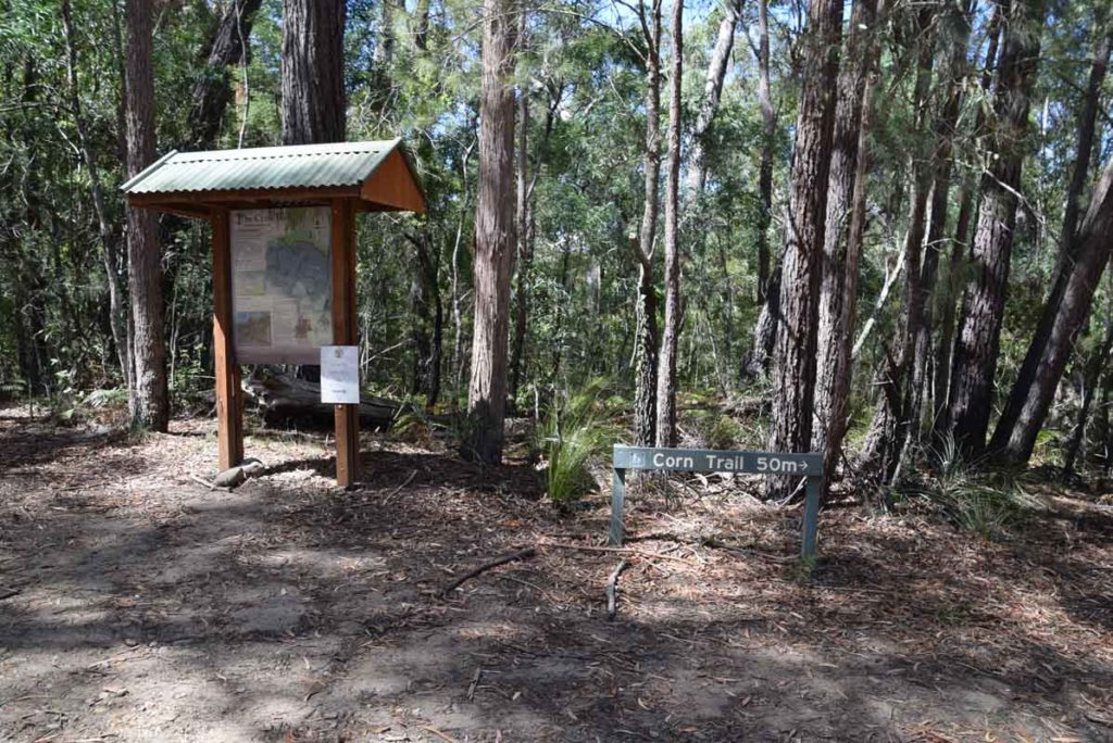
Lower trail head
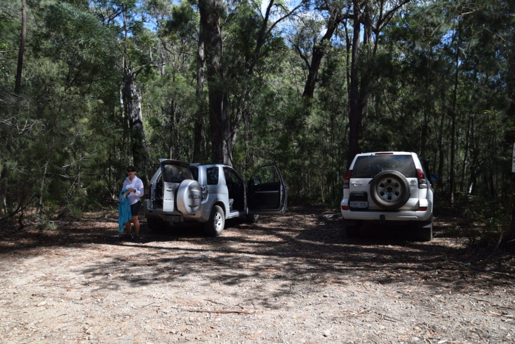
Lower Trail Head car park
Things to Know
- Once you start walking the trail signage is almost non existent. The trail is however reasonably obvious for the most part
- Mobile phone signal is limited on this trail and is mainly available near the trailheads and intermittently throughout
- Access to this site is relatively easy however be aware that your vehicle will need to have good clearance off the road and after heavy rains you would be advised to take a 4WD
- After heavy rains you are likely to get your feet wet on the two main water crossings, the first of which is at the upper trail head
- This trail is also accessible for horses although I’d want to be very comfortable on a horse in some of the steeper areas
- Wear long pants as leeches can be an issue on this trail
Disclaimer
This walk was undertaken by the team from Australian Hiker