Burbong Heritage Trail ACT (9.9km)
Canberra Nature Reserve
Nearest Town
Queanbeyan, NSW
Best Time of the Year to Travel
Year round. Avoid this walk in the afternoon in mid summer as there is not much shade on this trail
Starting Location
Glenburn Precinct Carpark
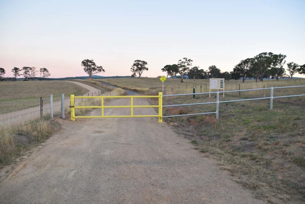
Trail head. Either nose in or park along the road if your car doesn’t have much clearance
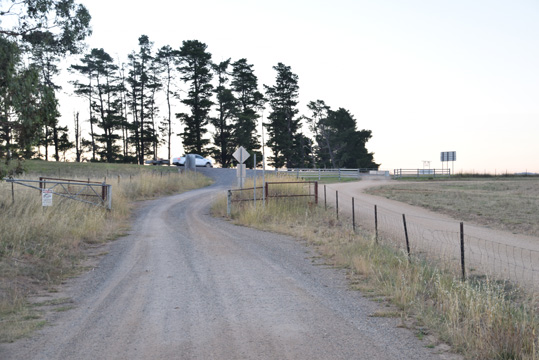
Car park looking back out towards the highway
Finish Location
Glenburn Precinct Carpark
What's special
A great walk for those into old buildings and heritage
Burbong Heritage Trail Review
The Glenburn Heritage Precinct consists of a series of three interconnected walks. Two stand alone walks that include the Glenburn Heritage Trail (10.4km), the Burbong Heritage Trail (9.9km), and the longer Glenburn Loop Trail (12.6km) that combines both of the stands alone walks. The hardest thing about these walks is finding them. I drove past this trail head for eight months and because it is so close to Canberra I am usually doing final social media updates or reading the paper on the way down the coast for the day and aren’t looking up (no I’m not driving). It was only when I decided to do these walks that I realised exactly where they are.
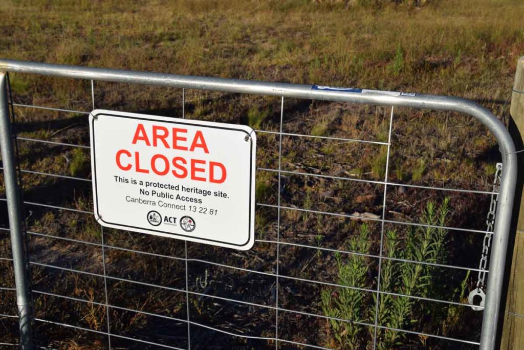
These trails are a good opportunity to take in local settler history that I didn’t really know existed and they provide a bit of variation to traditional bush or urban walking that is very close to the city. The trailhead is very informative and also has a small pamphlet holder that clearly points out what you will see on the trail. The trail markers are well set out and you just need to pay attention at the right times to ensure that you follow the colour coded trail markers. In the case of the Burbong Heritage walk these markers are red. The majority of this trail has no shade so start early if you are doing this walk in summertime. The main heritage sites on this trail also have excellent interpaton signage so you can read all about what you are looking at.
Heritage Sites on this trail include an old trig station, a number of ruined farmhouses and apparently a cooper mine although the trail signage doesn’t identify this and I haven’t been able to find it on my visits there. You start this walk at th trailhead carpark and shortly after starting you will come to a side road that takes you up hill to the left. There is a trail marker on the edge of the road and so long as you are paying attention you won’t have any problems. Take this side road up the hill and once you reach the summit you will come across the first heritage site, the historic Atkinson’s Trig Station, which was erected in 1878. At this location you will get some excellent 360° views across the countryside including to the Glenburn Homestead which you can visit as part of the Glenburn Heritage Trail or on the longer Glenburn Precinct Loop Trail.
From the Trig station you descent back down the hill towards the next two ruined homesteads of Colliers and Curlys which are only separated by about 70 metres distance. The Colliers homestead ruins are the main feature on this trail and in addition there is an orchard that contains some very sweet plums as well as a huge number of Quince trees. At the bottom corner of the orchard hidden away is a table and chairs which is an excellent place to take a break. Speaking of food on the trail there are huge areas of out of control Blackberries that are loaded with fruit during the mid to late summer. There is no indication that these plants have been sprayed so if your feeling game you could spend the entire day picking blackberries and not even make a dint.
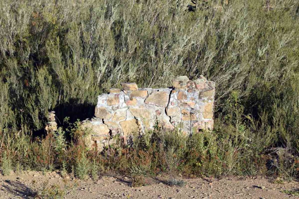
From the Colliers and Curlys homestead you next stop is the ruins of the Coppins and Argyle homesteads. Coppins homestead like the others is behind a fence but where you can enter the other sites this homestead is not open to the public and in looking at the ruins they look like they could fall at any stage to for your own safety keep on the outside of the fence. I wouldn’t worry about visiting the Argyle homestead as it doesn’t really have much to offer but as its only a few hundred meters away from Coppins it won’t take you long. The return trip is back the way you came.
While I enjoyed this walk I would suggest that you either do the Glenburn Heritage Trail as a standalone walk or if you can cope with doing just on 13km do the Glenburn Precinct Loop Trail that takes both of these walks in in one trip.
One thing that I would say with these trails is that you can take dogs provided they are on leashes which is a rarity.

We started this walk just on sun rise and at that time the moon was still very prominent
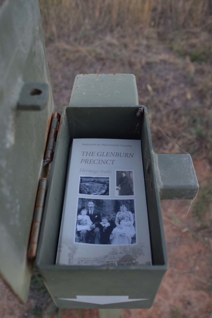
Brochure holder at the trail head
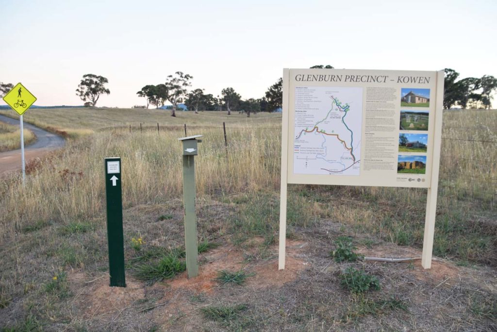
Trail head signage
Trail head. There is a small open gateway on the left of the yellow gate
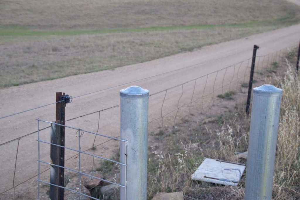
Keeps your hands away from the side property fence as you walk through the gate as the fence is electric
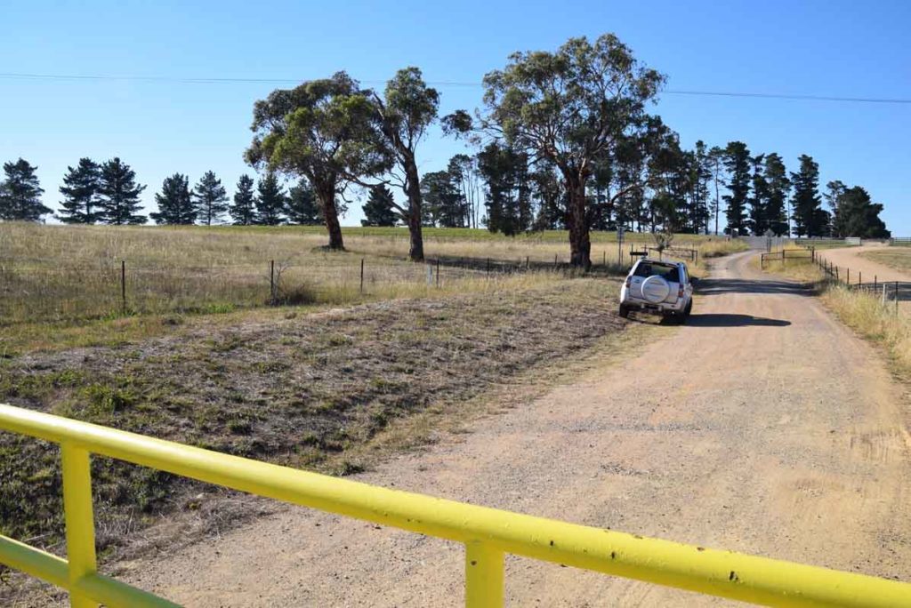
Much of this trail is management road with smaller sections on open grassland. The trail is not heavily used, mainly because no-one knows its there
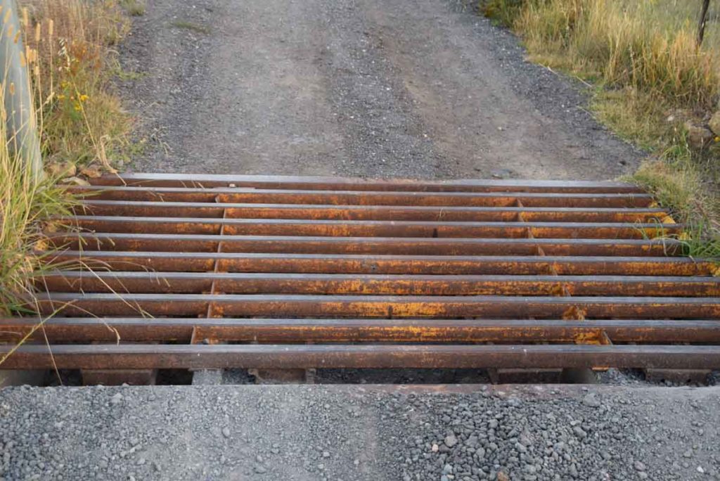
You will have a couple of cattle grates to cross on this trail
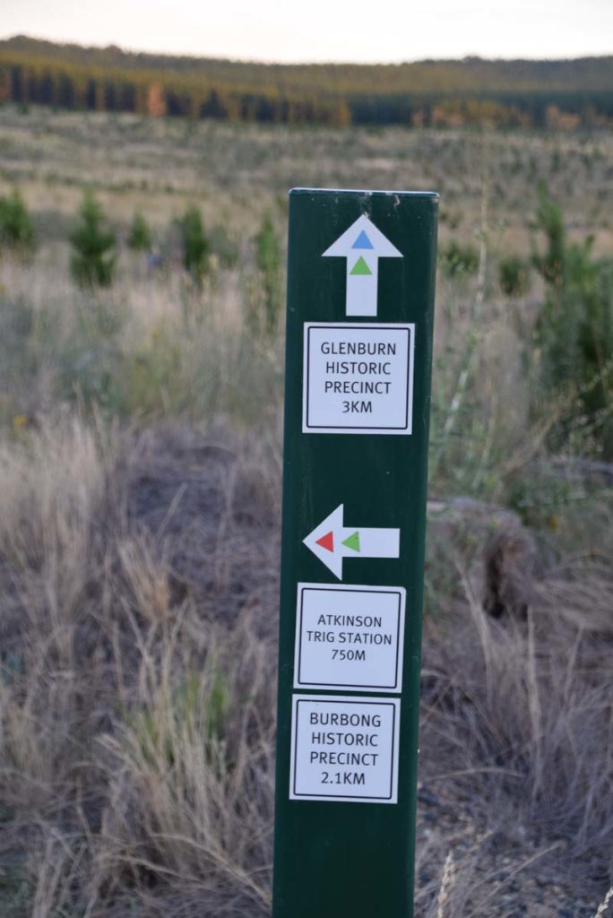
The three trails that make up this precinct are colour coded. The Burbong Heritage Trail uses red trail markers and at this point you head up the hill. The green trail (the Glenburn Precinct Loop Trail) is a loop that combines the Burbong Heritage Trail and Glenburn Heritage Trail

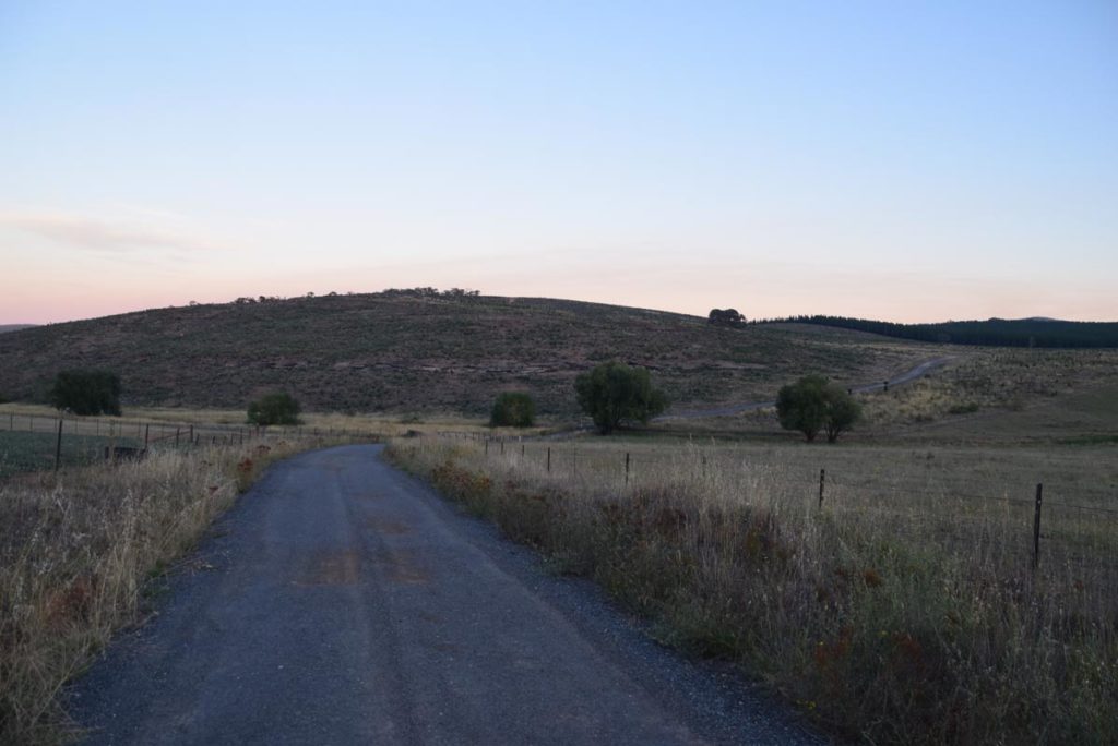
The hills on this trail are plentiful and while not steep you do notice them

While the sun was coming up behind us the view from the opposite direction was spectacular

The view from the top of the hill to the surrounding low areas is one of the highlights of this hike particularly if you do it early in the morning
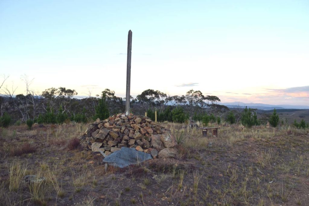
Historic trig marker and the first feature on this trail
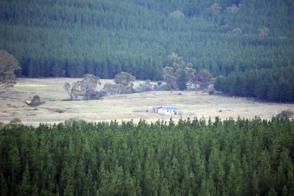
From the hilltop at Atkinson’s Trig you can see the Glenburn Homestead in the distance. This homestead is part of the Glenburn Heritage Trail and Glenburn Precinct Loop Trail

For very up there is a down. The trail follows along this fence line as it heads towards the Colliers Homestead ruins
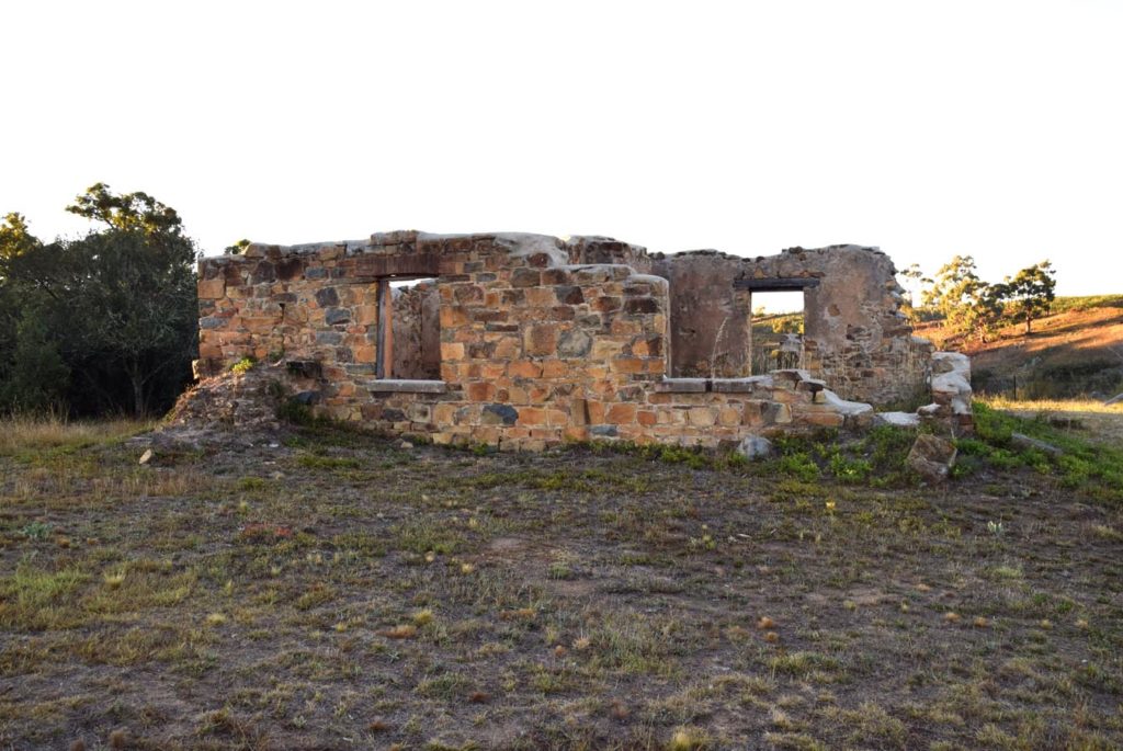
Colliers Homestead ruins and orchard
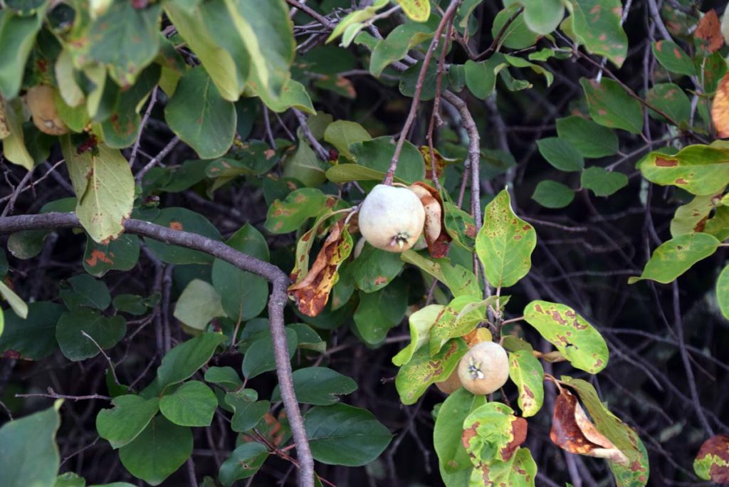
The is an old orchard at the Collier Homestead ruins that is loaded with both Quinces and Plums. The plums are reasonably tasty and if your into using Quinces there are probably enough on these trees to supply the entire Canberra population
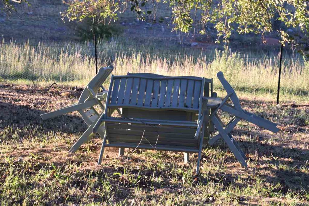
If you are looking for somewhere to take a break then there are a table and chairs in the rear corner of the Colliers Orchard
Curleys Homestead Site which is around 70 metres away from the Colliers site. This homestead consists of a pile of rubble only

Bullrushes near the Curleys Homestead site

The Kangaroos in this precinct are some of the shyest in Canberra
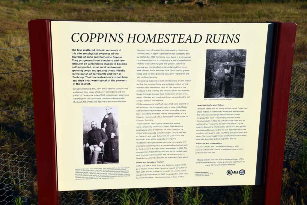
Coppins Homestead interpretive signage
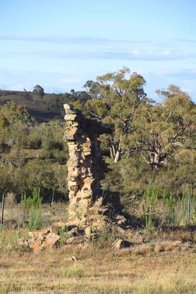
Coppins Homestead ruins consist of an old Chimney as well as part of the old homestead
The Coppins Homestead ruins are very unstable so you can only view the ruins from outside the fence
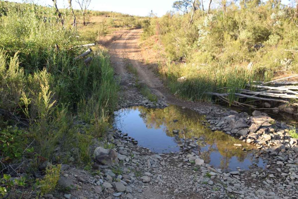
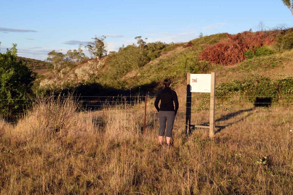
Wet crossing to get to Argyle Homestead ruins
Arglye homestead ruins. This is about all that is visible of these ruins.
Getting There
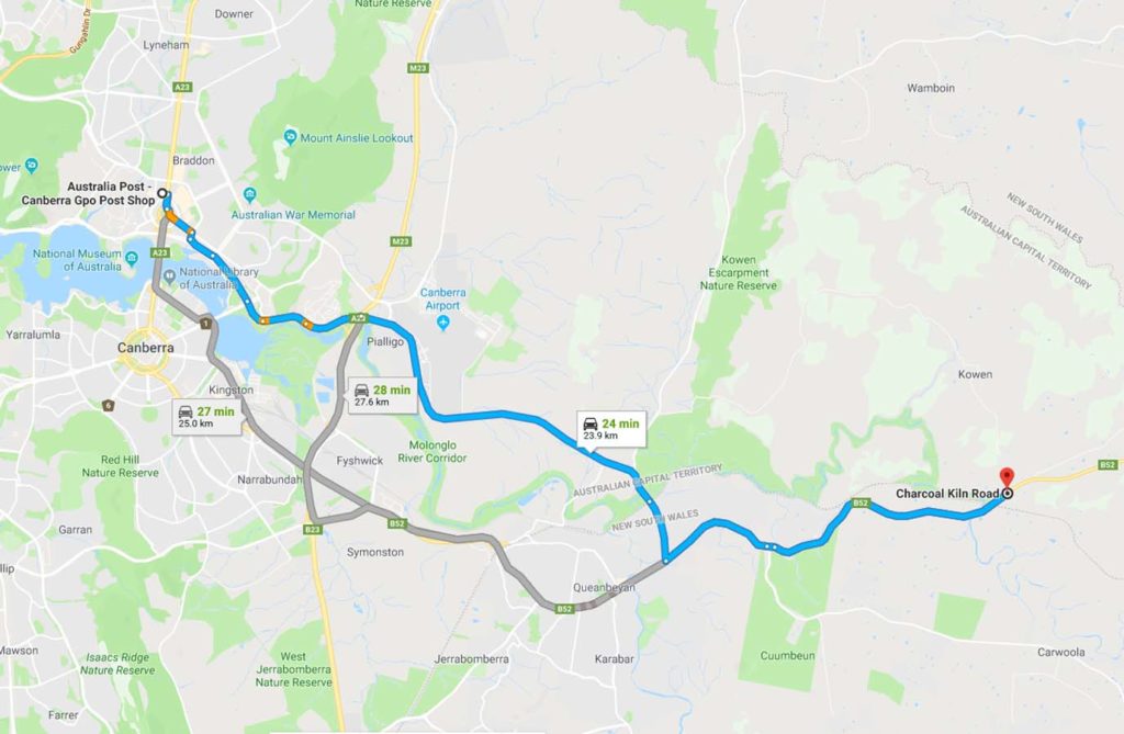
The hardest things about this walk is getting to the trail head. I drove past this trail for 8 months without realising it was there
- From Canberra drive through Queanbeyan and head towards the coast.
- Once you reach Burbong Bridge over the Molonglo River (not far from the outskirts of Queanbeyan) you only have about 1km to go
- You will see a large brown sign indicating that this site is only 200 metres away and at about the same time you will notice a large farm shed just off the road so slow down
- There is an access road just past the shed on the left side of the road which has two driveways. Don’t go into the farm as its private property but look for the sign indicating the Canberra Clay Pigeon Shooting Club. The trail head is about 80 metres down this road
The whole trip from the the Canberra GPO is only about 24km which is one of the closet non urban walks to the centre of Canberra
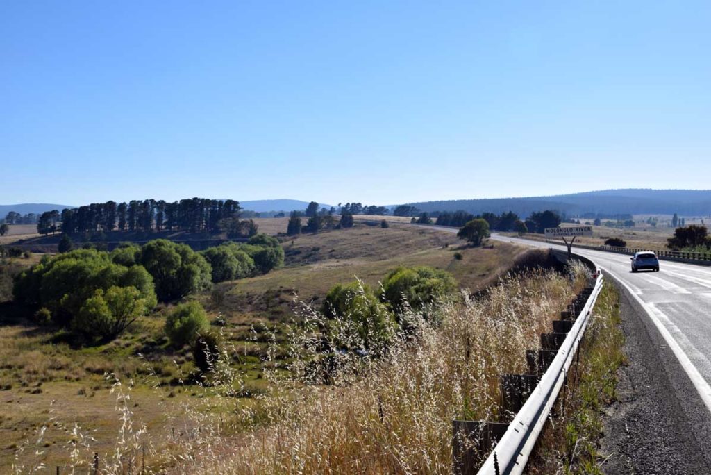
Burbong Bridge over Molonglo River. Notice the railway bridge to the left
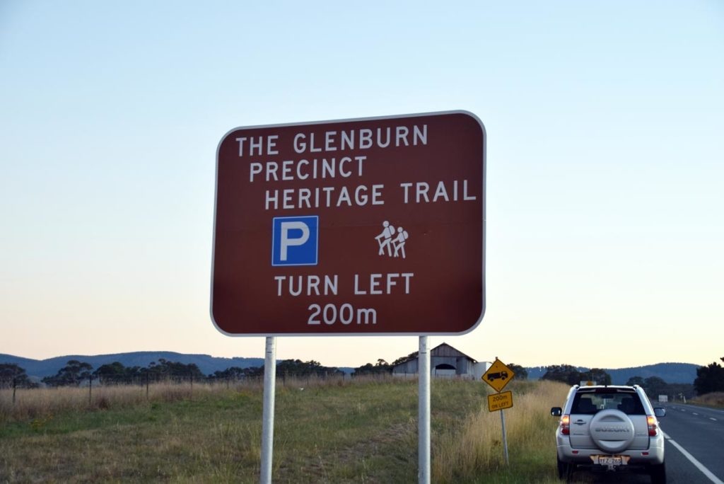
Sign and shed not far past the bridge
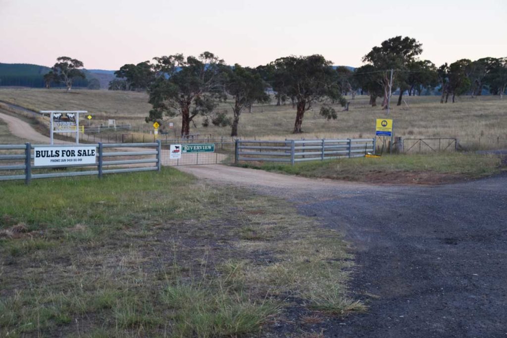
Entry road. The gate to the left is private property. The open gateway to the right with the shooting club sign is what you are looking for
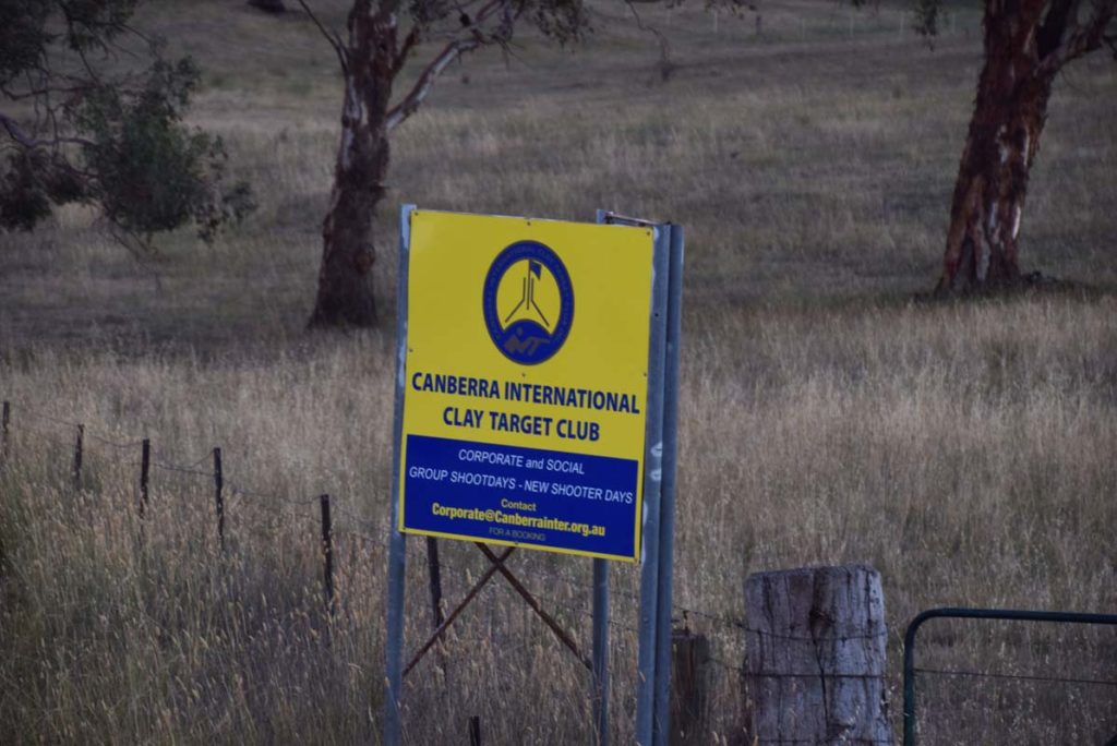
Shooting club sign
Looking back towards the highway
Things to Know
- Phone: There is good phone signal (Telstra) on this trail which is a rarity on many Canberra trails
- Water: You should bring your own water as there is limited water available on the trail
- Toilets: There are no toilets on this trail
- Trail: This trail consists of formed track but is mainly management road
- Dogs: Dogs allowed on a leash
- Other:
- This trail is a bit exposed during mid summer so walk early if the forecast is hot and make sure you are protected from the sun
Disclaimer
This walk was undertaken by the team from Australian Hiker
Last Updated
28 June 2026