White Track, Bungonia NSW (6.8km)
Bungonia National Park
Nearest Town
The closest town to the trailhead is Goulburn, NSW. You will also pass close by the tiny hamlet of Bungonia
Starting Location
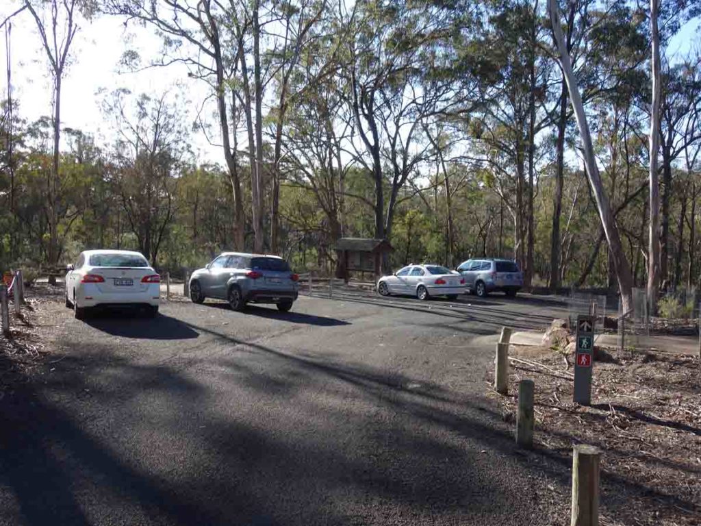
Start this trail from the David Reid car park
Finish Location
David Reid car park
Best Time of the Year to Walk
Year round
White Track - Shoalhaven River, Bungonia NSW Review
Bungonia National Park, is located in country NSW close to the inland city of Goulburn, 90 minutes from the outskirts of Canberra, and not much further from the southern outskirts of Sydney. This National Park focuses on the Bungonia Gorge, a large gorge that provides panoramic views. There are plenty of key tracks to suit walkers of all levels of experience, including one that takes you into the gorge itself (the Red Track).
The full 6.8 km White Track down to the Shoalhaven River starts from the David Read car park which is also the starting location for both the Red Track and the Green Track. While these other two tracks are circuits, the White Track is a 6.8 km out and back trip. The White Track is rated as hard so if you don’t feel like doing it all in one day, you have the option of camping overnight close to the river before making the journey back up.
The first section of this walk takes you to the Mount Ayre Lookout which is the easiest part of this track and will suit most hikers. Immediately after leaving the Mount Ayre Lookout things start getting hard and you have a shortish (around 300 metre) steep downhill section on a loose surface – you will benefit from having footwear that provides very good grip and stability along with trekking poles. Once you get past this steep section the track flattens out somewhat as you make your way towards a lower part of Mount Ayre. This section of track provides fantastic views both sides of the valley below into Bungonia Gorge on the left and down to the Shoalhaven River on the right. At this stage the vegetation has is more lush and when we did this walk in early spring, there was a good variety of plants in flower.
As you approach the lower part of the peak you will skirt around the side and start the main descent to the river below. This section down to the river is by far the hardest section of the walk and you will need to pay attention to your footing as the trail surface is both loose and steep. My knees aren’t usually a fan of downhill sections but in this case it was my leg muscles that were complaining. The river below creeps up on you quite quickly and the trail almost flattens out as you cross a small sharp ridge line before making your way down to the river itself.
It’s here that you’re on a sandy embankment and one possible option for camping. A word of warning about camping; on the day we visited it was very obvious that the water had flow through here had been quite high and reasonably recent. If there are periods of heavy and sustained rain you will need to pay close attention to where you camp.
We spent around 25 minutes at the river taking in the serenity before heading back up. The uphill climb while steep is actually easier footing wise and it took us less time to return to the car park than to do the descent. We stopped back at the Mount Ayre Lookout for a short break and having done the walk, we could now see where we had walked almost all the way down to the river itself.
Signage on this trail is marked by small white markers and in all honesty its not a good colour choice. These little markers are limited in number and several are attached to trees with silvery grey bark so are very hard to spot. We came across two people who weren’t totally sure they were on the right trail until they saw us. If you stay on the worn trail you are fine but it is a matter of trust if you haven’t done this walk before.
All up this walk took us just shy of four hours. The park fact sheet suggests allowing five hours which depending on your fitness level, is not unrealistic. Overall this is a tough but very enjoyable walk. Given the vegetation on the trail its very obviously less impacted by walkers it was apparent that the White Track doesn’t get as many visitors as the more difficult Red Track. We also didn’t see any animal life on this track apart from bird life near the river. What was very obvious was the abundance of flowering native plants which wasn’t unexpected given we walked this track on early spring.
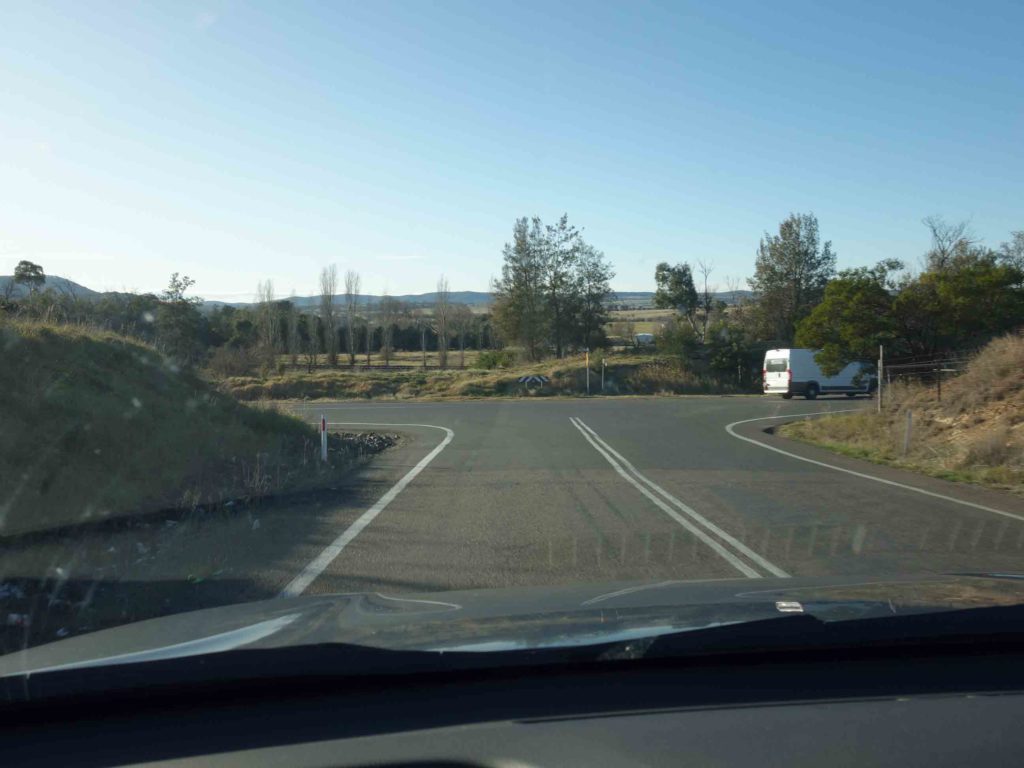
Getting to Bungonia National Park takes a bit of weaving but the signage is reasonably good. Your best bet is to enter ‘David Reid Access’ into Google Maps and this will direct you very well to the start point
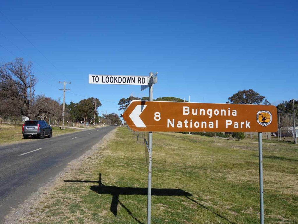
Follow the road signs to the Bungonia National Park
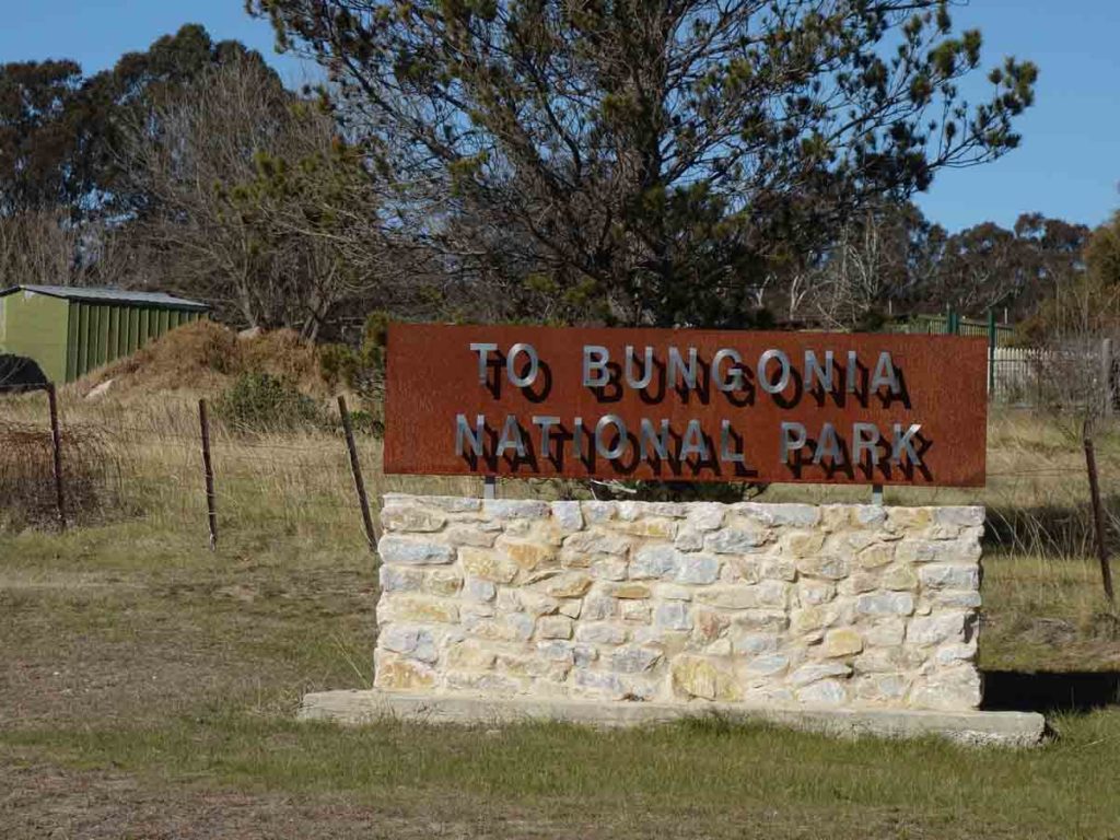
The signage is very obvious. This intersection is just before the Bungonia village
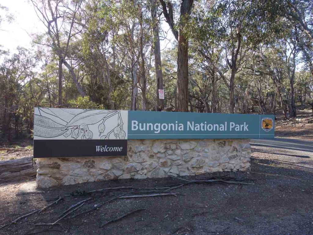
Entering Bungonia National Park
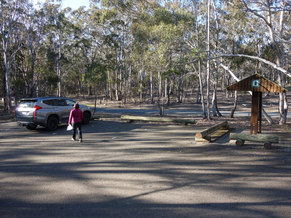
Visitor centre car park
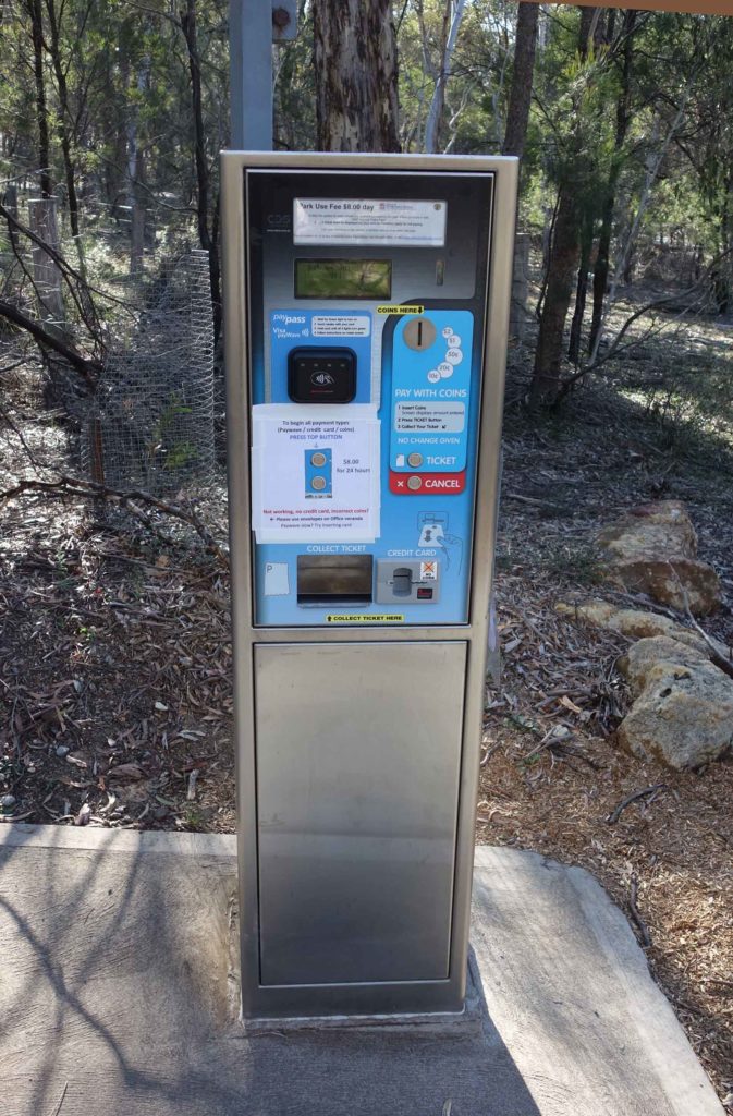
Park entry fee machine
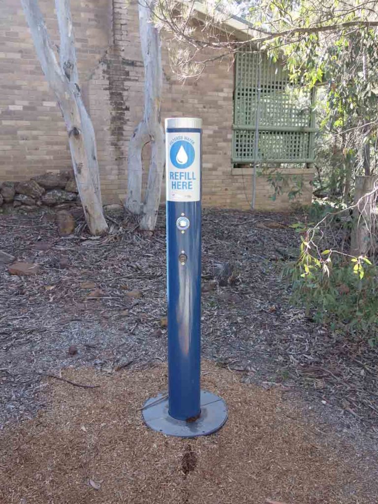
Water tap at the visitor centre. There is another one at the campground. The water tanks at the car parks contain unfiltered water
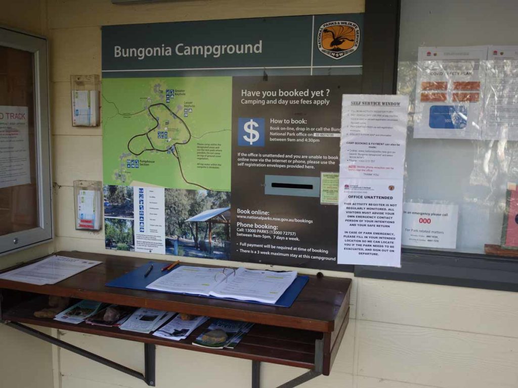
Close-up of trail register – make sure you sign in and out. There are paper copies of the trail maps just to the side of this register
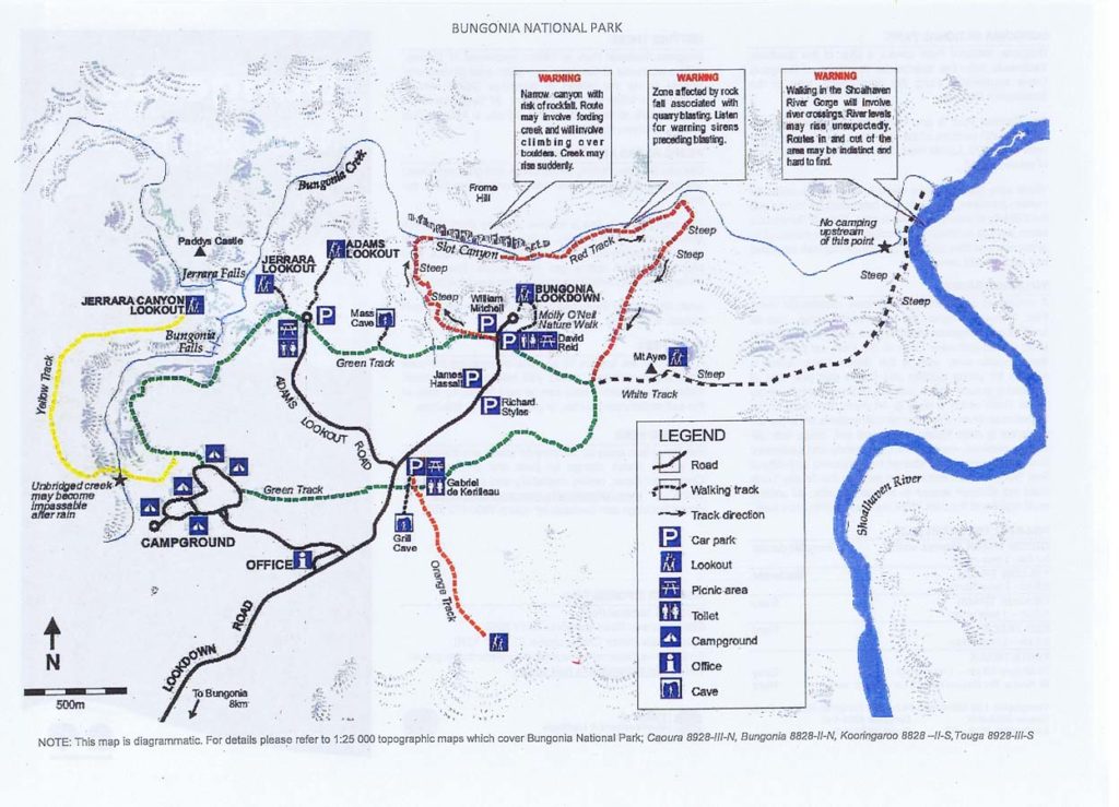
Bungonia Gorge trail map. This image was current as at 6 September 2020. Use this as a guide but you are best picking up a hard copy at the park just in case there have been changes/updates
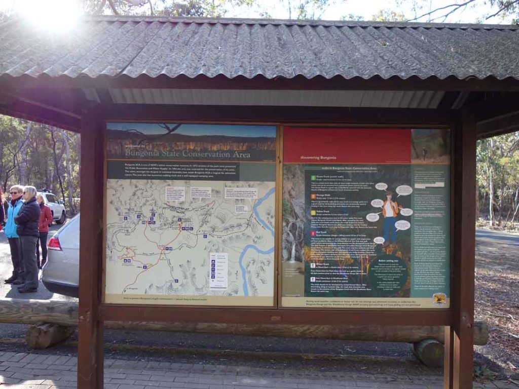
Bungonia Gorge signage. These information kiosks are spread around the park and contain detailed information on the walks
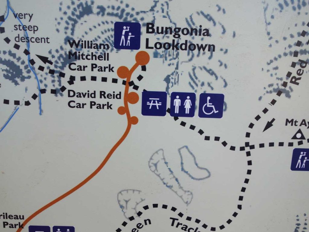
Close up of map showing David Reid car park. This car park is less than a five minute drive from the visitor centre
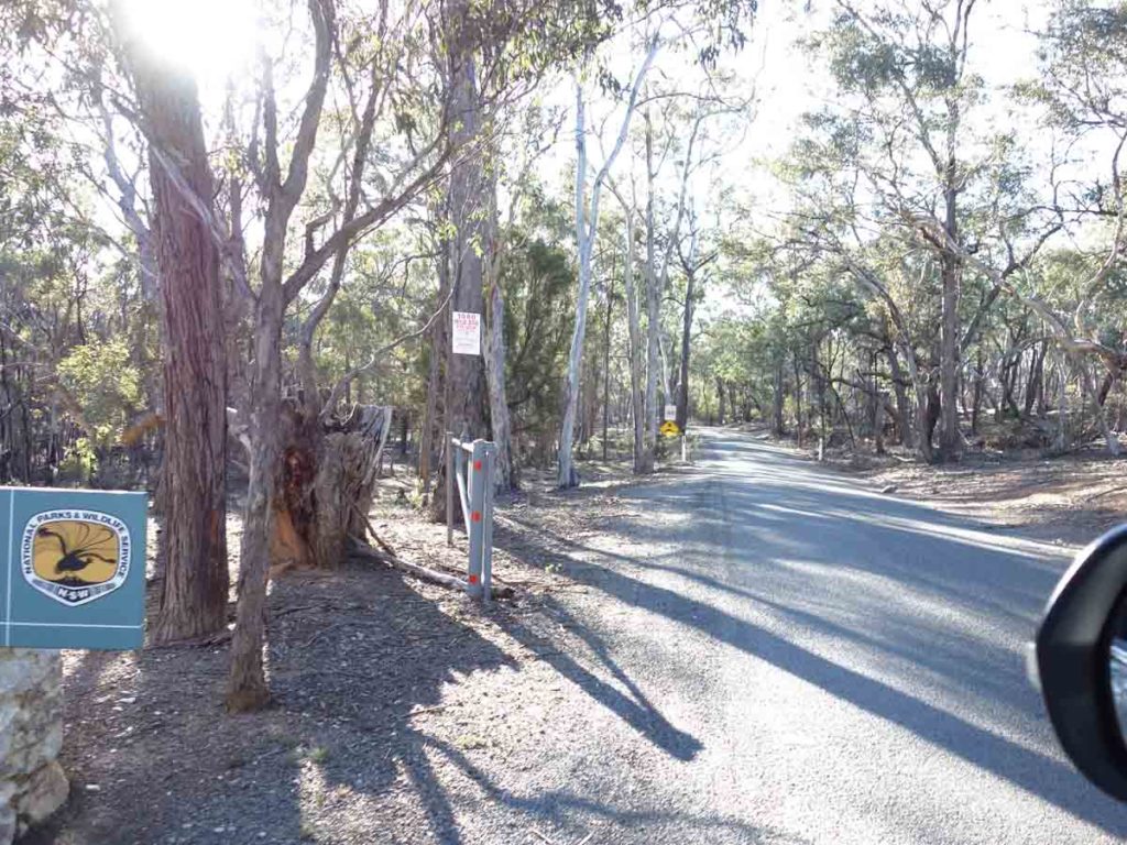
There is a road that accesses all the main car parks and runs a short distance through the park. It can be a bit narrow in places so pay attention to the traffic
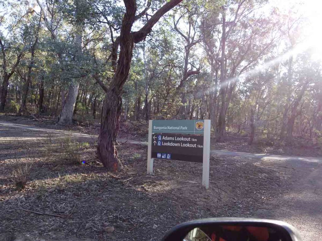
Turnoff to Adams Lookout. You will drive past this sign on the way to the David Reid car park. If you have family with you and plan on having a barbecue at the end of the walk, there are great facilities at the Adams Lookout car park

Entry signage to the David Reid car park
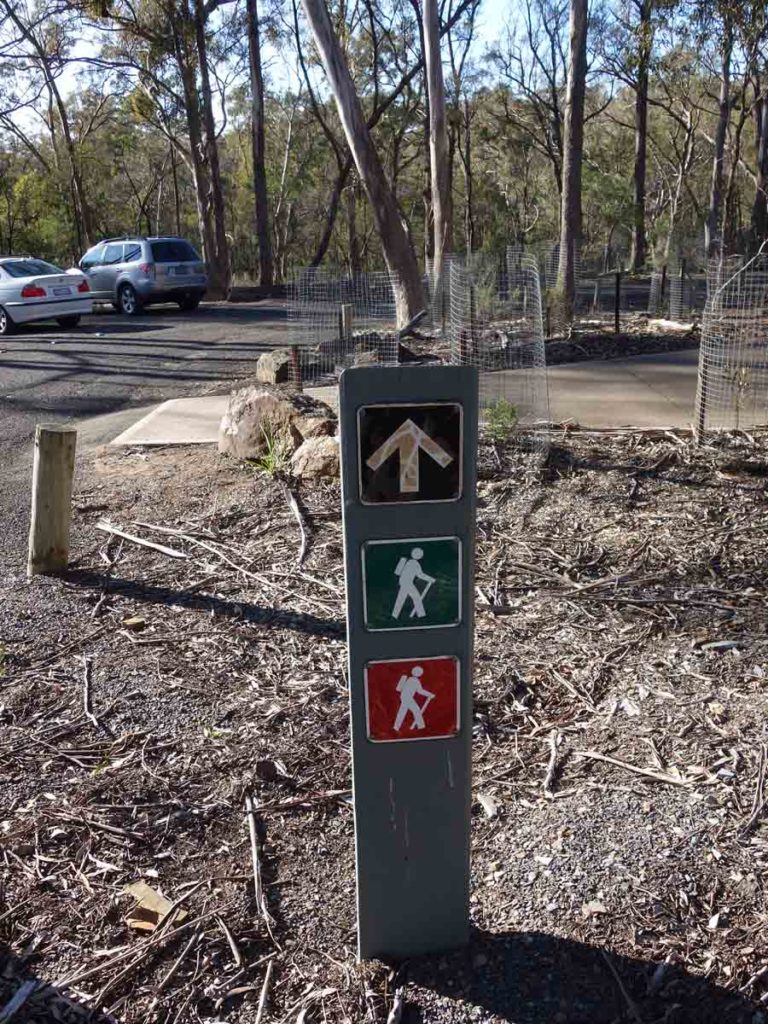
The White Track which takes you to Mount Ayre starts at the David Read car park and heads towards the Shoalhaven River. The Mount Ayre walk is a seperate walk on the White Track. For about the first 400 metres, the track is shared with the Red Track and Green Track
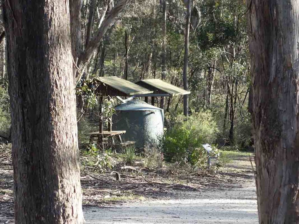
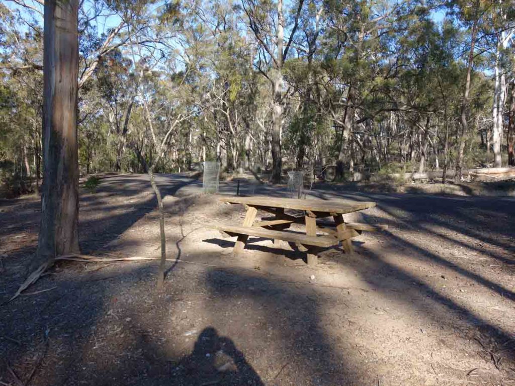
Picnic area at the car park
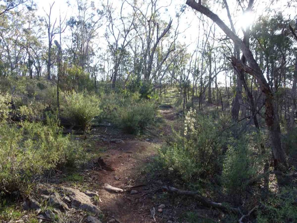
The trail out to the Mount Ayre Lookout is for the most part reasonably wide but there are a few narrow sections close to the drop off
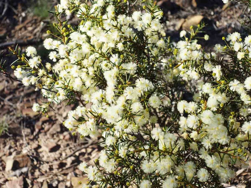
Wattle in flower Bungonia White Track, September
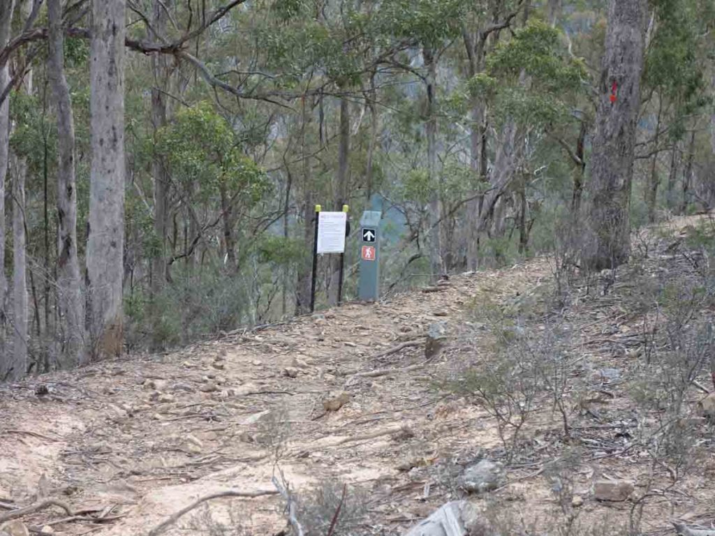
The Red Track runs off to the left going downhill and the Green Track turns to the right. At this point go straight ahead on the White Track
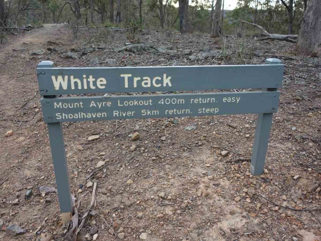
On to the White Track
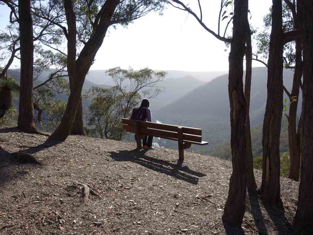
Mount Ayre Lookout
Video taken from Mount Ayre lookout
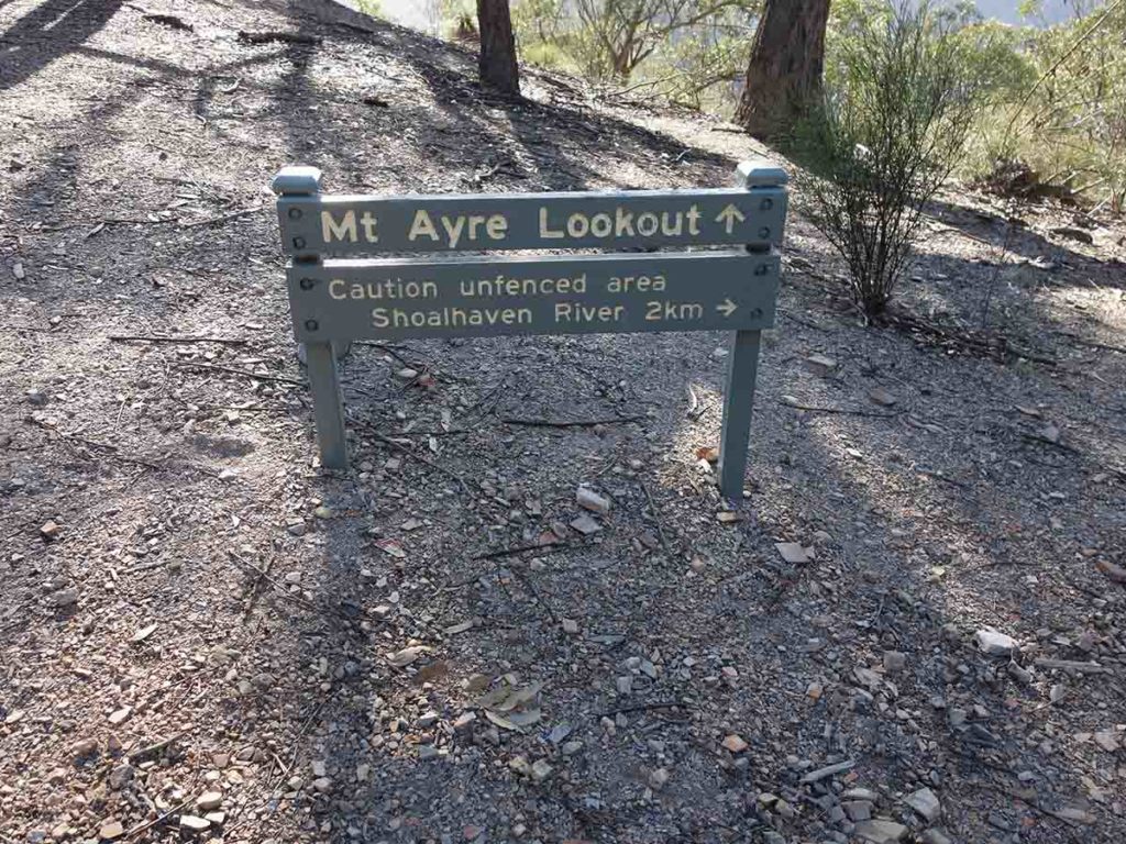
Follow the trail ahead
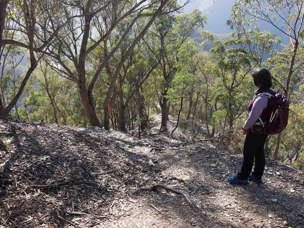
The White Track – the photo doesn’t do it justice but its steeper than it looks. The first steep section is about 300 meters long
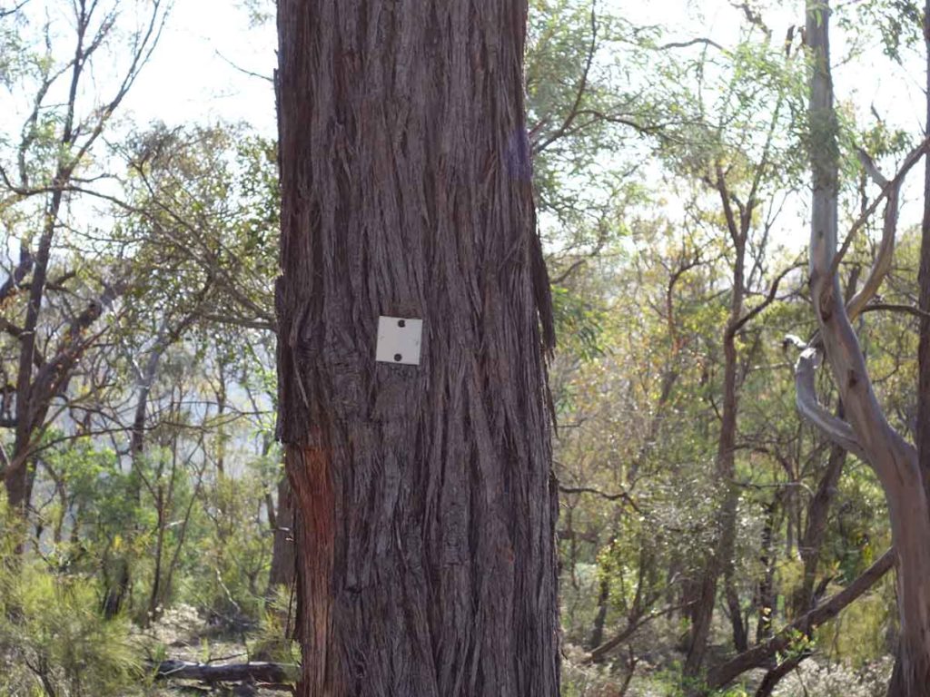
Trail marker – small, white metal squares
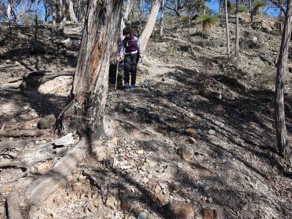
Gill coming down the first section of steep trail. The trail is very loose so wear ‘grippy’ footwear
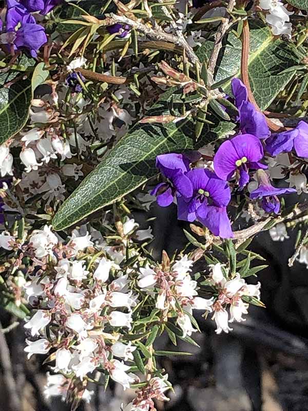
Hardenbergia in flower
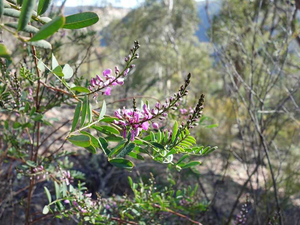
Indigofera in flower
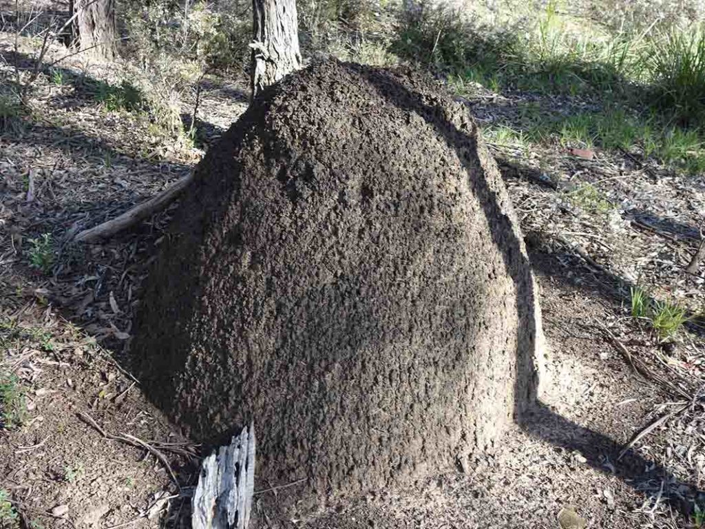
Termite mound just off the track
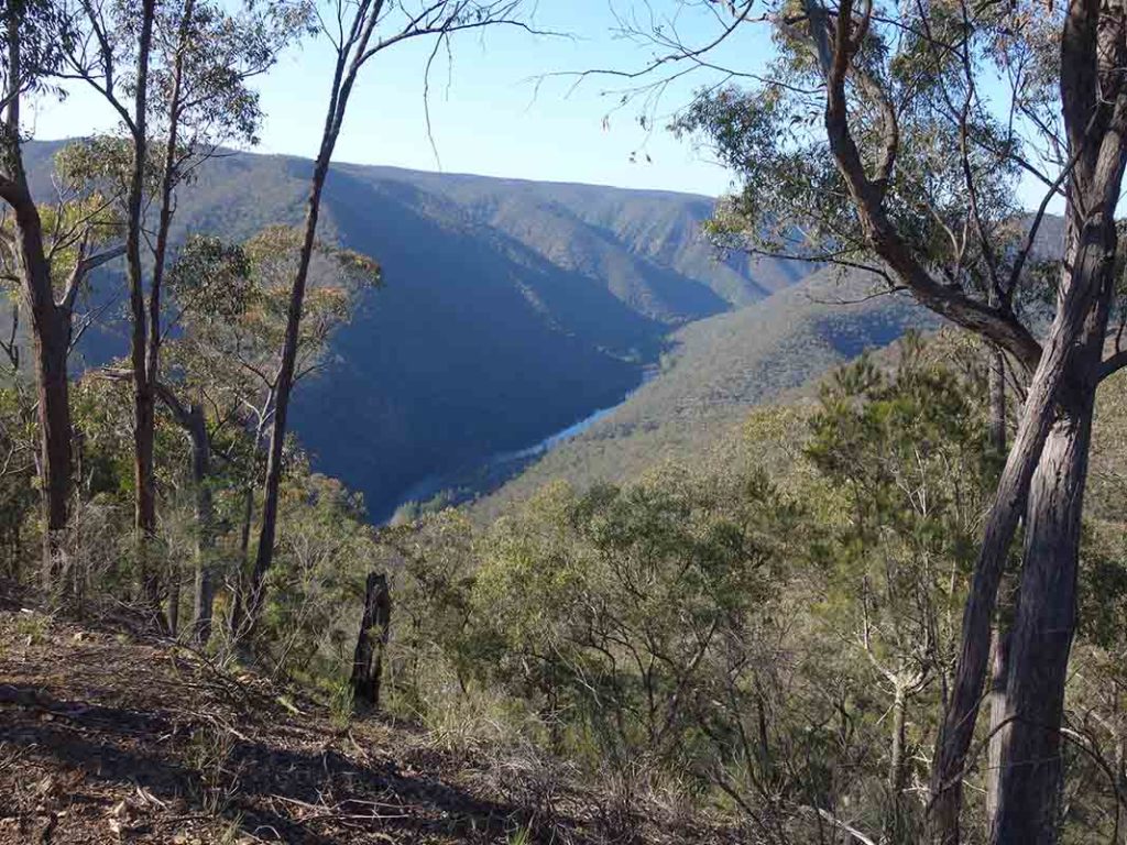
Views down to the Shoalhaven River
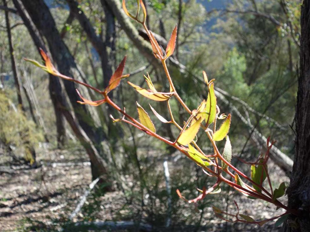
Regrowth on a eucalyptus
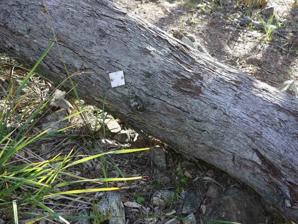
Trail marker on fallen tree
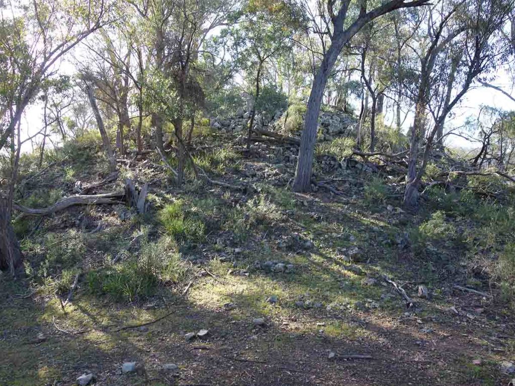
Lower peak on Mount Ayre – the trail heads to the left of this image
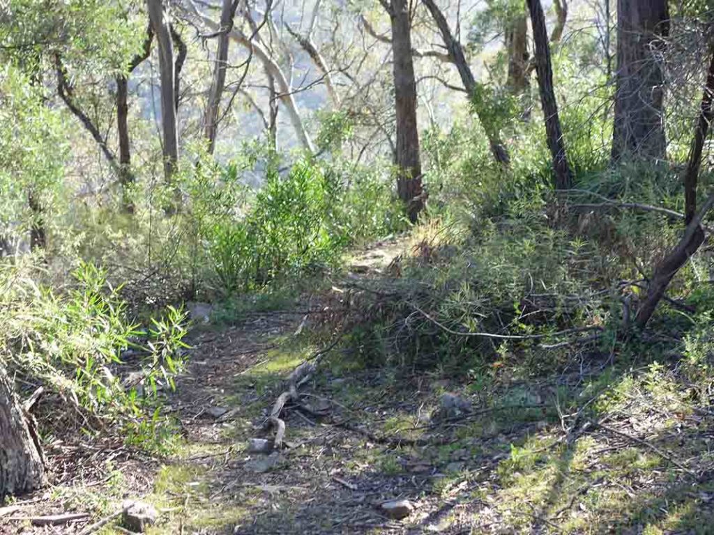
Trail example
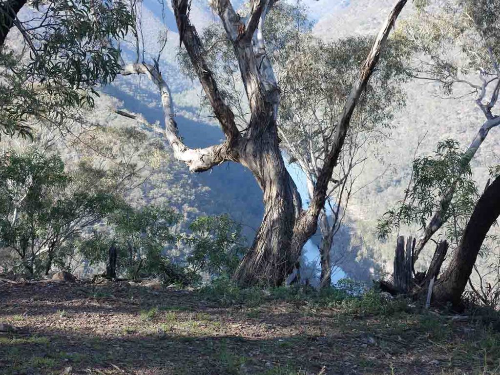
View down to the Shoalhaven River from the lower peak
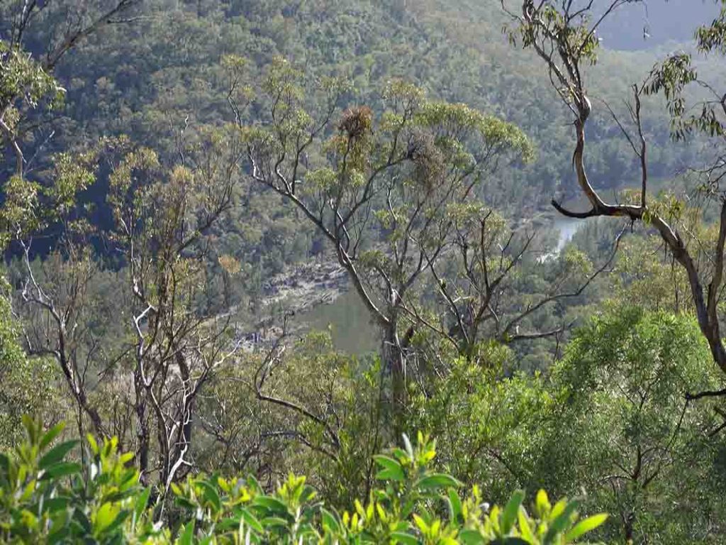
Getting closer
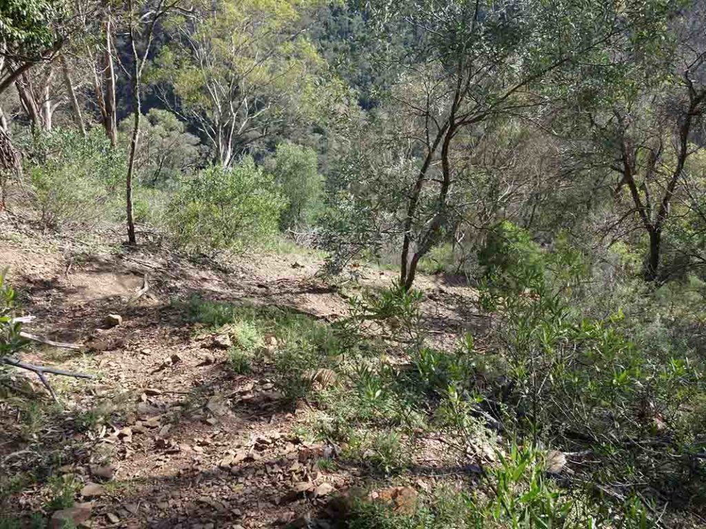
Trail example going down
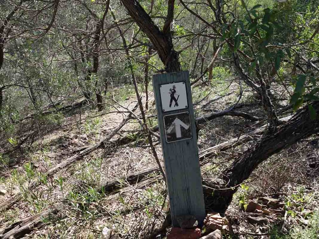
A rarity on this track. Signage is at a minimum but following the track is pretty straight forward
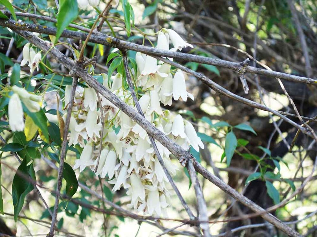
Pandora in flower
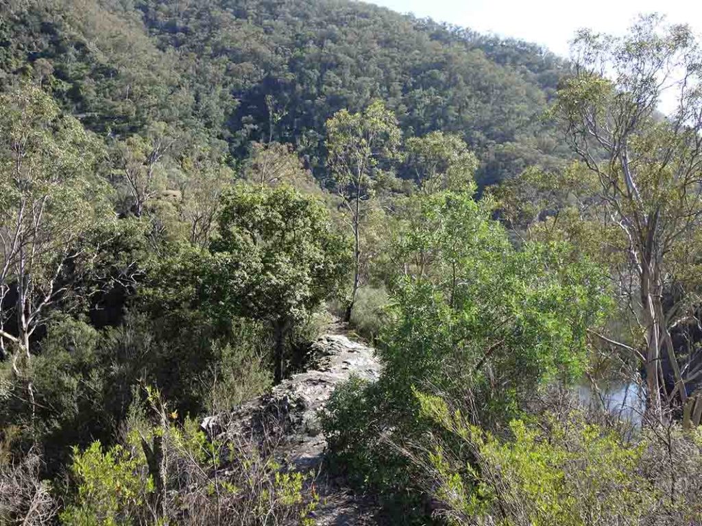
Across the narrow ridge. This narrow rock edge is near the bottom of the track – its a only few metres wide but you have no choice but to go over it
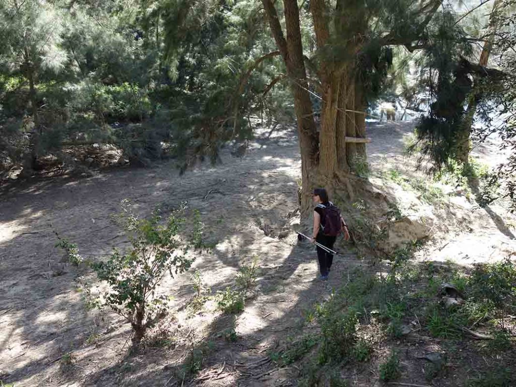
Down onto the sandy area. There is a ‘high tide’ mark on this tree that shows that in periods of heavy rain, you shouldn’t camp here
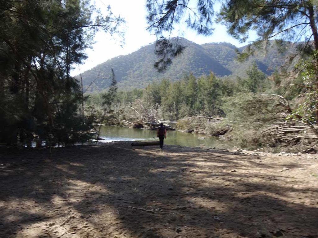
At the river
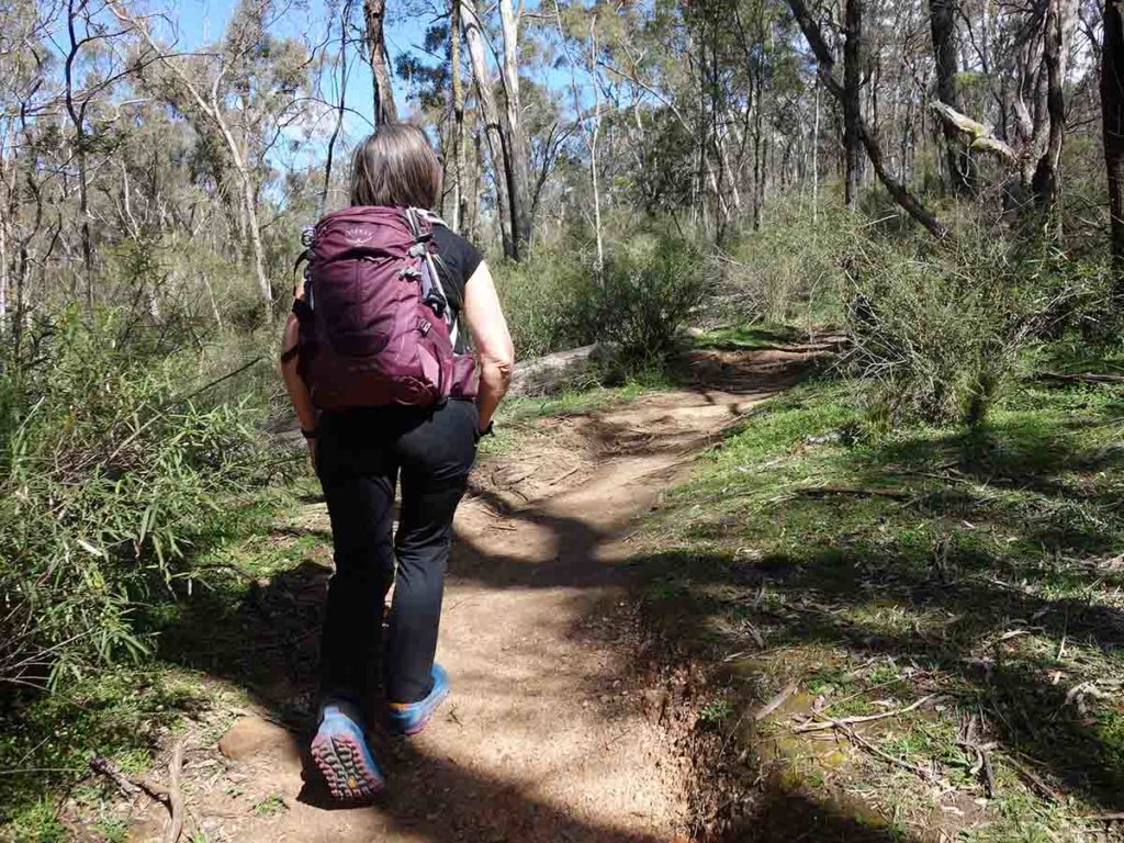
Back up the trail
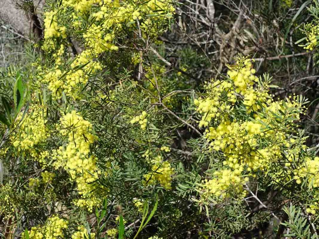
Wattle in flower
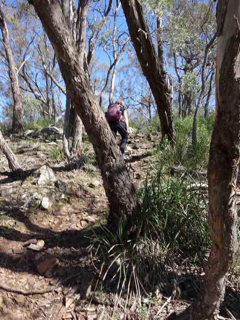
Uphill

Native plants in flower
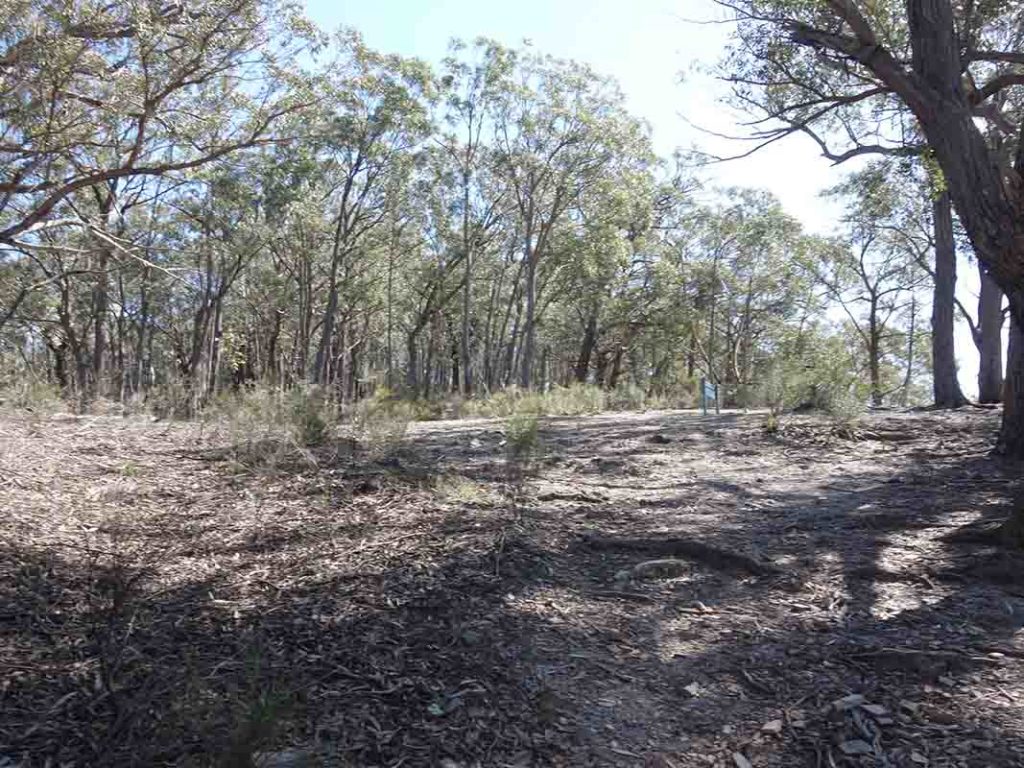
Back to the Mount Ayre Lookout
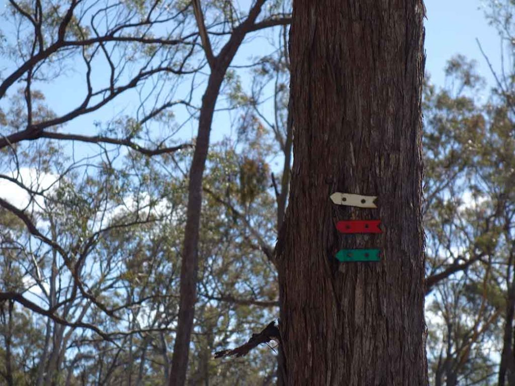
Shared trail markers. The White Track, Red Track, and Green Track all share a common section of this track
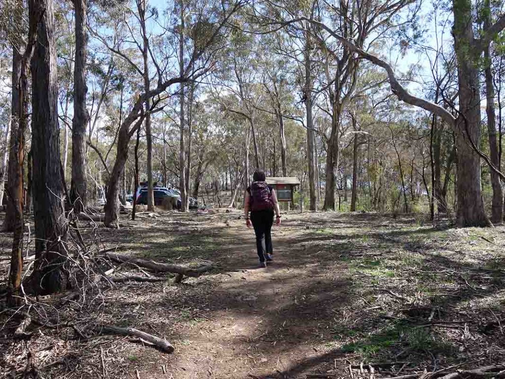
Approaching the trailhead
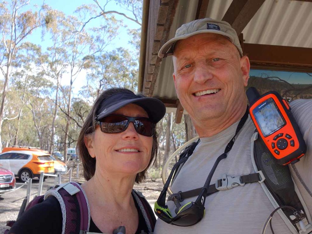
Gill and Tim at the trail end

Don’t forget to sign out when you leave the park
Trail video
This video is a compilation of images and video footage that will provide you with an overview of this trail from start to finish
Getting There
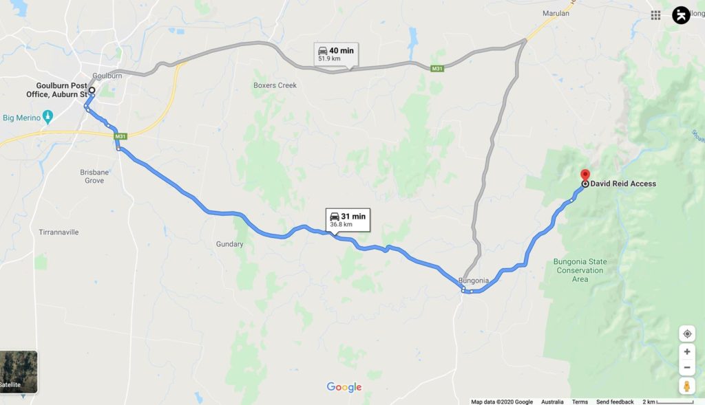
Google Map to trailhead for the White, Green and Red Tracks. The trailhead is around 37 km from the Goulburn GPO and around a 30 minute drive
Things to know
- Phone: Phone signal on this trail is rare and only available at the Mount Ayre Lookout – you may get text and phone usage but you are unlikely to get data access
- Water: You need to bring your own water or else filter water at the river at the mid point of the walk. There is water available at the visitor centre
- Toilets: The only toilets on this trail are at the trail head car park
- Trail: This trail consists of formed track but it’s a bit uneven at times. It has minimal markers but is bay to follow
- Dogs: Dogs are NOT allowed
- Camping: There is a campground available in this park
- Other:
- This walk is done as an out and back walk
- Carry trekking poles with you for stability
- Make sure your footwear has plenty of grip as the track is unstable underfoot at times
- Pick up a copy of the paper map available next to the sign-in book to get you an overview of the various tracks in the park
- If you are camping for the night check the weather forecast as flooding is possible in periods of heavy rain
- You will need to sign a visitor intention form so you can be traced in case of emergency. You will also need to sign out after you have finish

Car park signage at the entrance to the car park

This car park will comfortably fit around 20+ cars if people park correctly
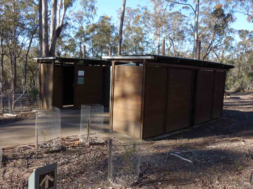
David Reid car park toilets
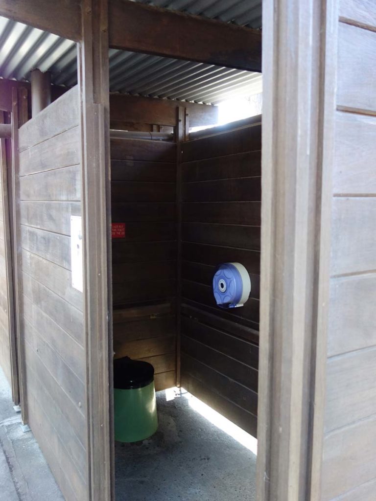
Toilet view – basic but functional
Disclaimer
This walk was undertaken by the team from Australian Hiker