Demandering & Horse Gully Huts ACT (18.2 km)
Namadgi National Park
Nearest Town
Canberra GPO 80 km and Adaminaby (NSW) is about 4o km in the opposite direction
Starting Location
Trailhead adjacent to Mount Clear Campground
Finish Location
Trailhead adjacent to Mount Clear Campground
Demandering & Horse Gully Huts Track Review
Once you have done all the main walks in Namadgi National Park you may feel like spreading your wings a bit and heading down towards the southern end of the park; and the southern part of the ACT. There is just something about this end of the park that feels ‘wilder’ then the more well known central areas. The vegetation starts to become more alpine as you go further south and as you increase in altitude.
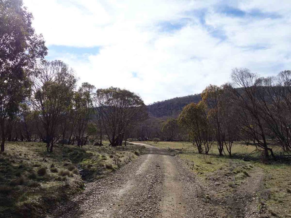
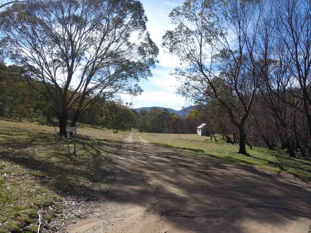
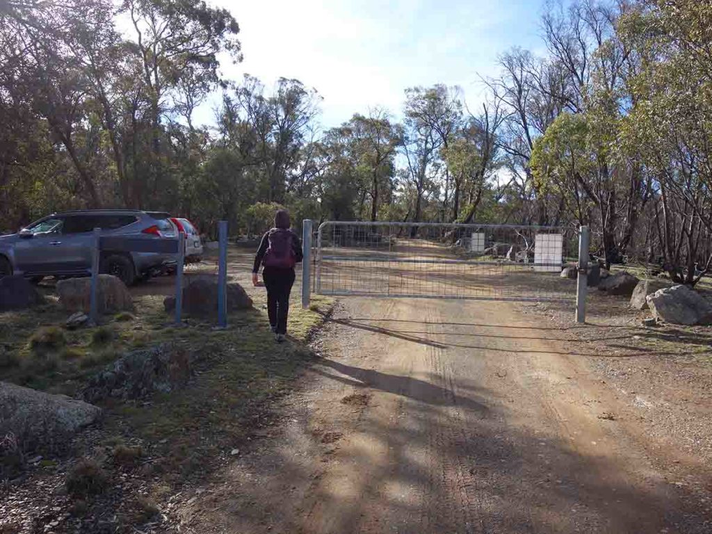
The trailhead is located immediately adjacent to the Mount Clear Campground so you can do this as a day walk or make a weekend of it. The trailhead for this walk is a small carpark that will fit around eight cars but given the length of this walk it’s not as popular as the much shorter walks. Speaking of distance, this is where things get a bit confusing. The distance marker at the trailhead indicated that a round trip is 14 km. The downloadable PDF from the ACT Government says its 16 km return. Our GPS on the day came up with just over 18 km – other hikers have confirmed this distance. Time wise 18 km is accurate. The walk itself is almost entirely on management road with the exception of the short side track to Demandering Hut.
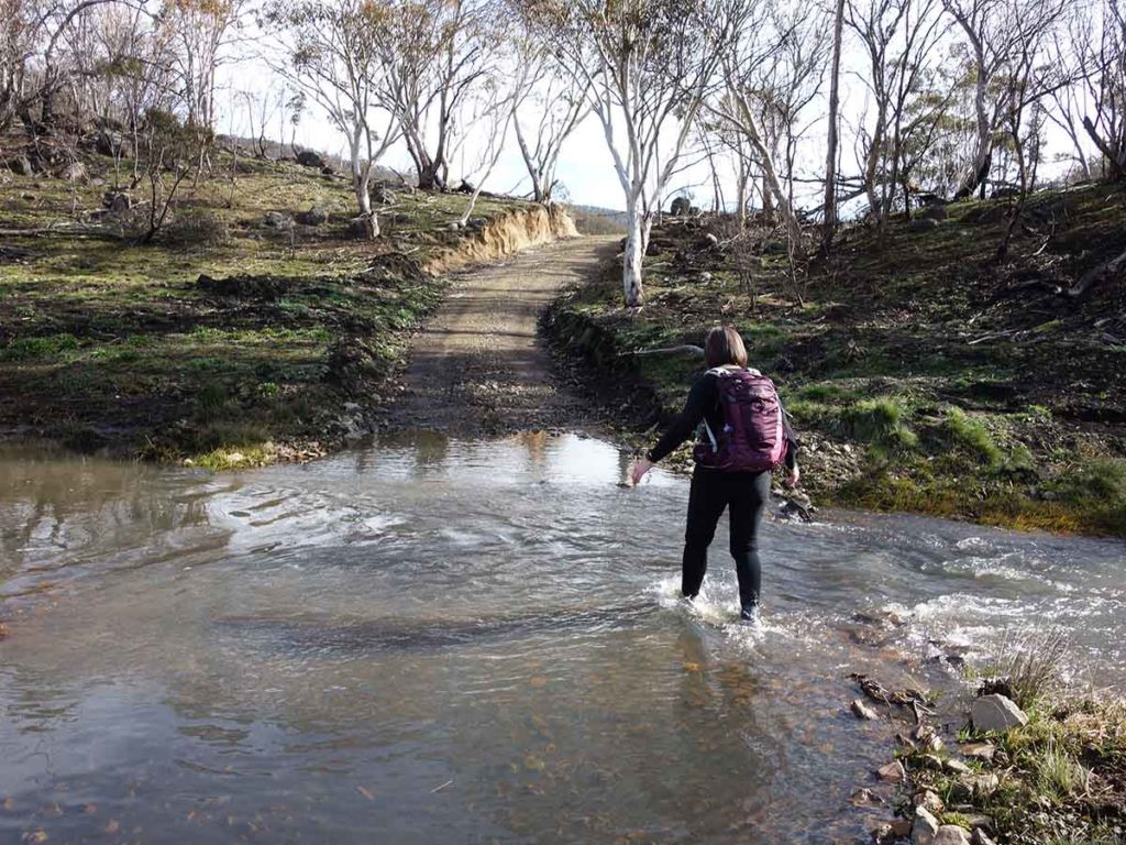
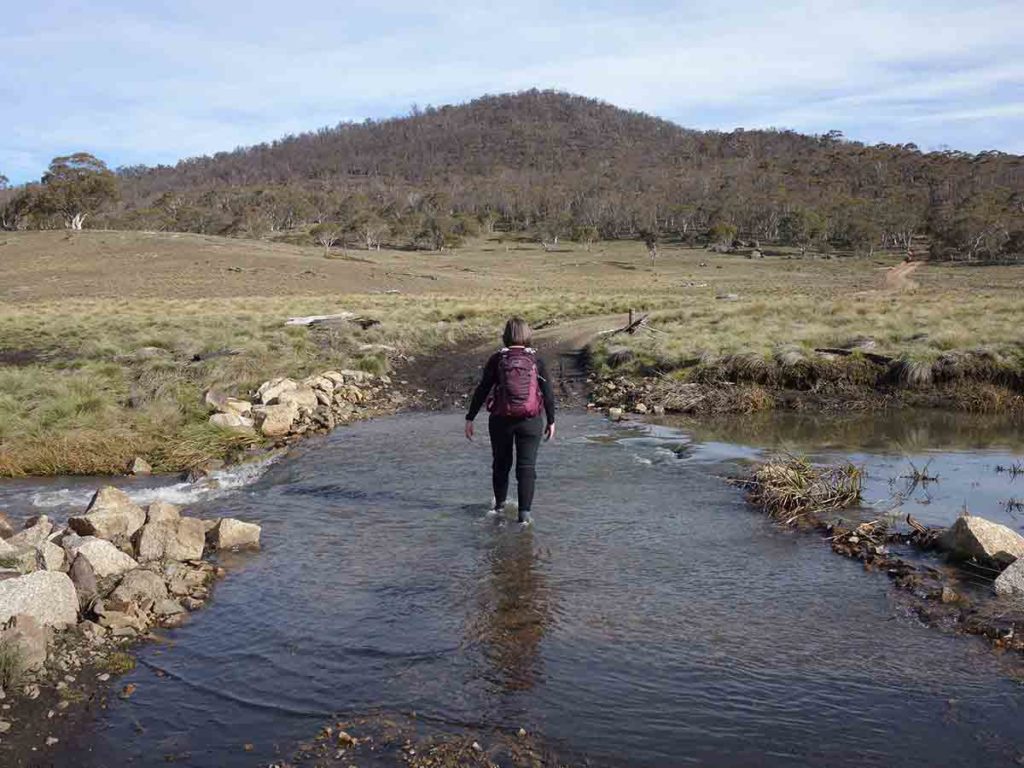
The management road is easy to follow and while there were originally numbered posts along the track that highlighted various points of interest, many of these have now gone courtesy of the summer 2020 fires. The track is undulating and while there are a few uphill sections, there is nothing overly difficult. What you do need to know is that there are three creek crossings. The first and second crossing require you to get wet feet so depending on your crossing method, take a pair of Crocs or a small towel and a couple of extra pair of socks. The third crossing is easier and if you’re nimble, you’ll keep your feet dry. In periods of dryness this may be different. On our trip we walked past Demandering Hut and visited it on the way back.
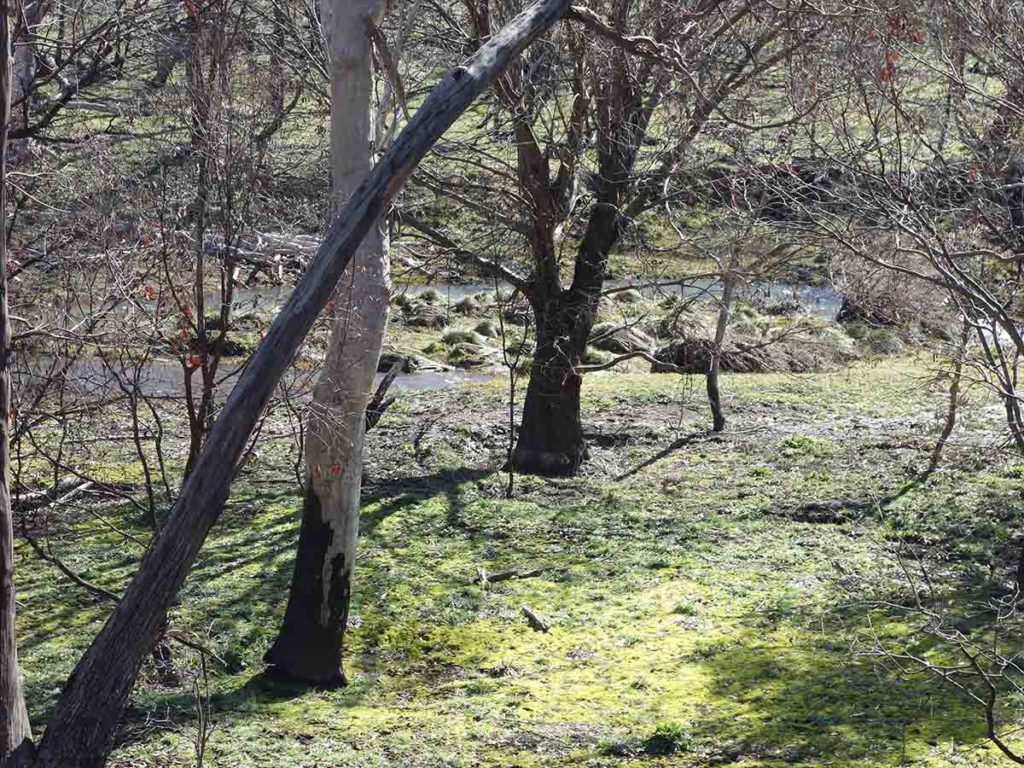
In August 2020 the landscape was showing the impact of the fires so you are fairly exposed as you walk along the road and the wild life was almost non existent apart from the occasional kangaroo and wallaby. The trees are showing signs of regrowth and with all the end of winter rain, spring os expected to really put on a show over the next few months.
Horse Gully Hut is well kept and well set out. Like all the huts in the Alpine region they are meant for emergency use only. There is plenty of camping space close to the hut itself and there is also a pit toilet and water tank attached. After spending time taking a break and having a look around, head back the way you came to the trailhead. All up this walk took us around 5.5 hours with breaks along the way. If you are after a longer walk that isn’t chock a block full of hikers then this is a great option.
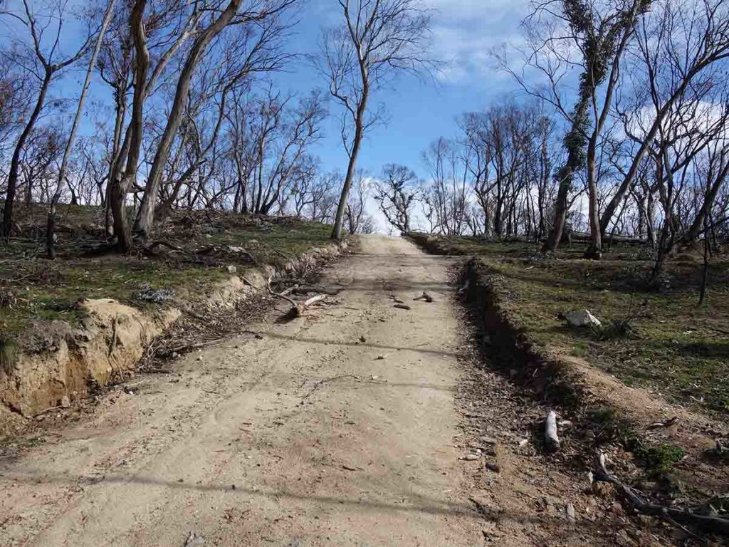
Road showing the burnt landscape
Sign to let us know Mount Clear Campground is 300m ahead on the left
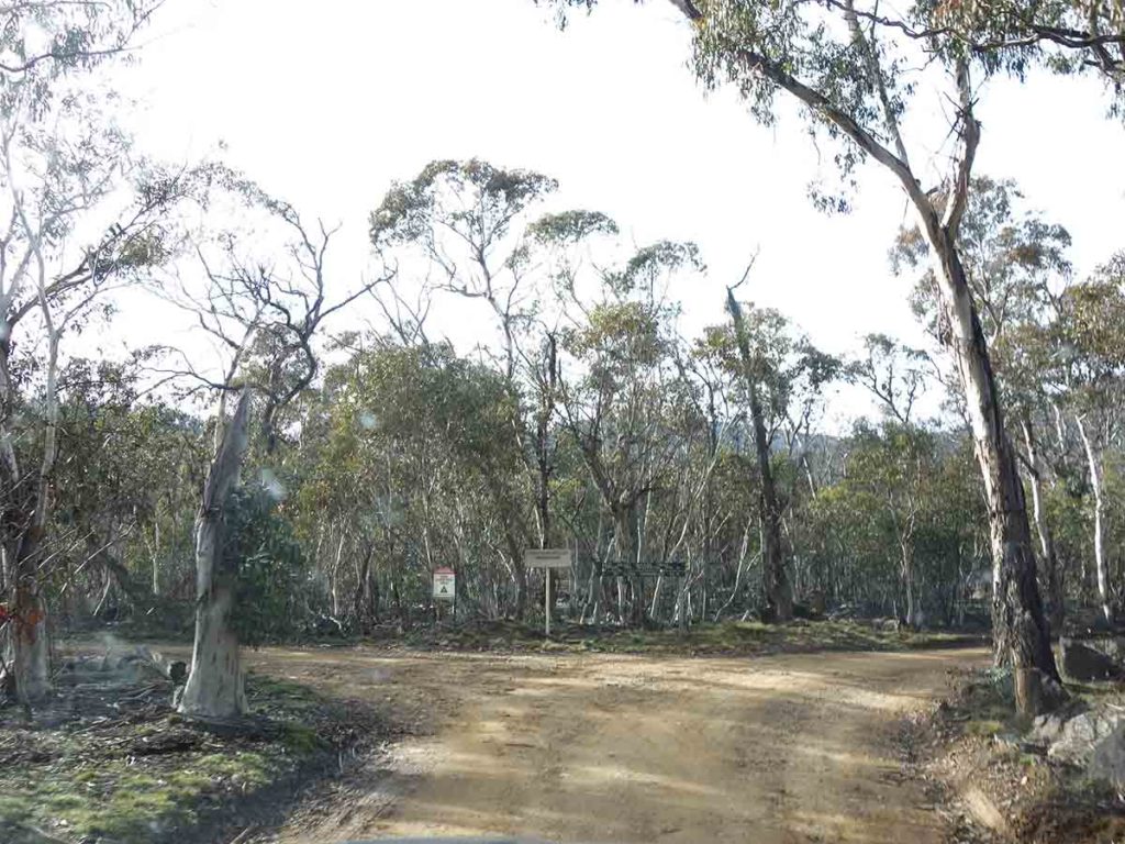
Turnoff to Mount Clear Campground
Once you turn onto the Mt Clear campground road you have a short drive before reaching a ‘T’ Intersection. Turn left to the campground (and toilet) and right to the trailhead
Mount Clear Campground
Mount Clear picnic area
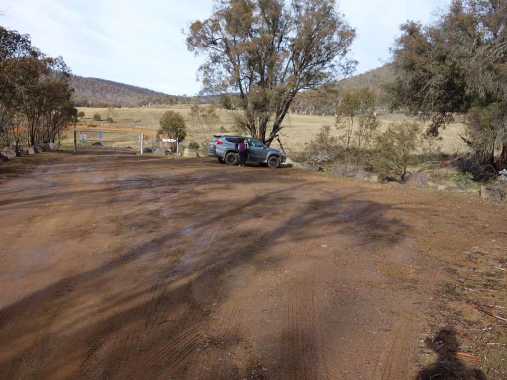
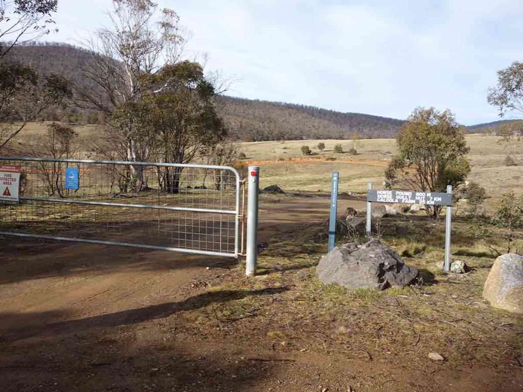
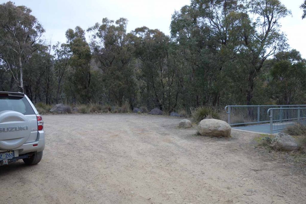
Trailhead car park
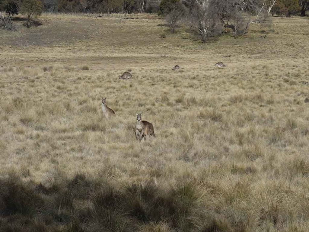
Kangaroos at the trailhead
Walk start
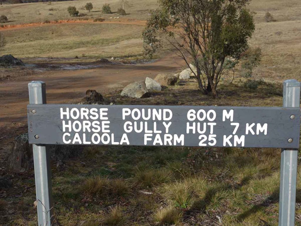
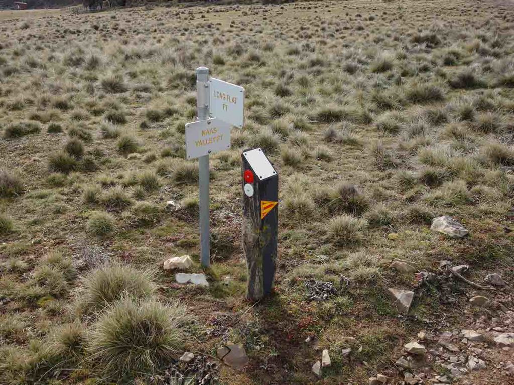
Direction sigange at the trailhead. The distance to Horse Gully Hut is just over 9 km, not 7 km
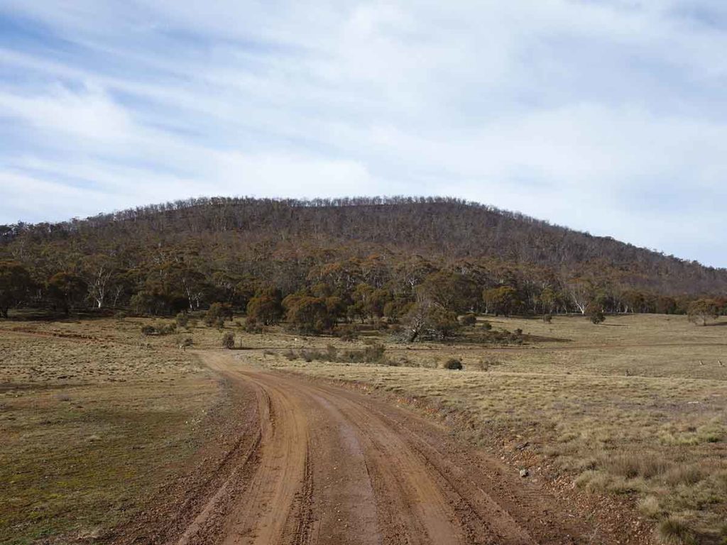
Trail example. Stay on this road and do not turn off
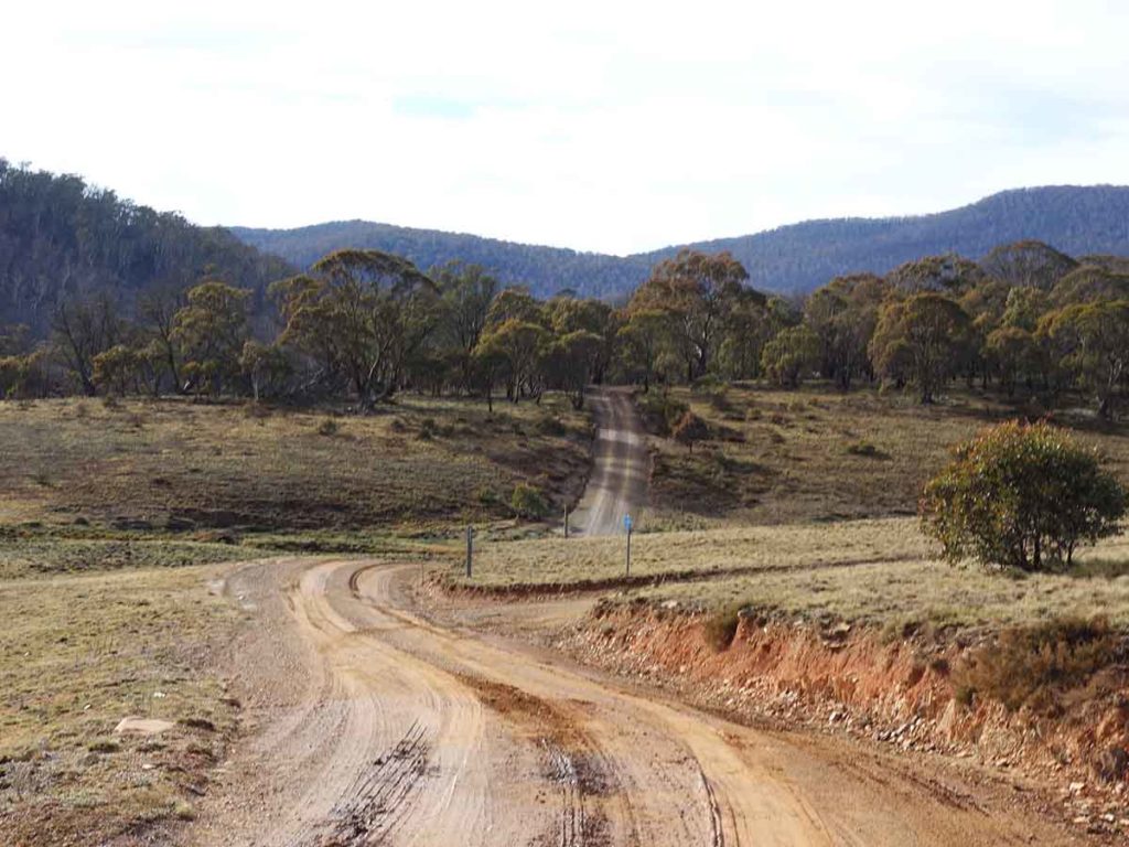
Go straight don’t turn off here otherwise you’ll be heading to the NSW/ACT border
Part of this track is on the Bicentennial National Trail
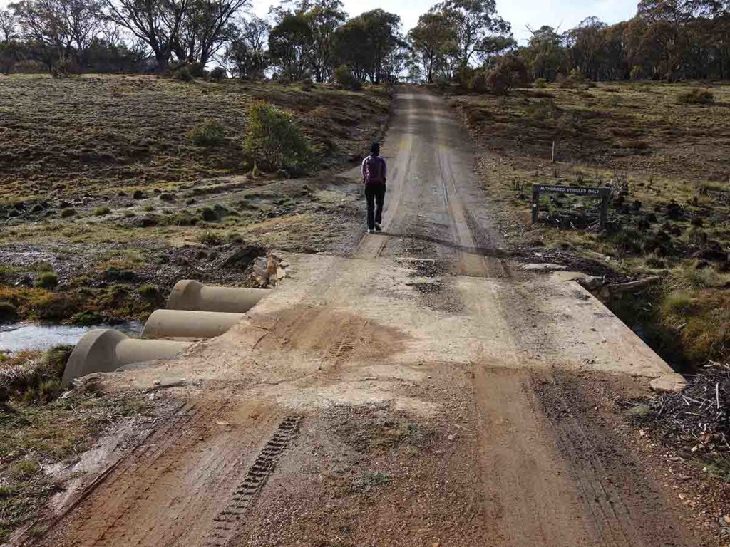
Over the creek
Sign in sign out. This trail register is about 400 metres into the walk on the left side of the trail
Horse paddock on the Bicentennial National Trail
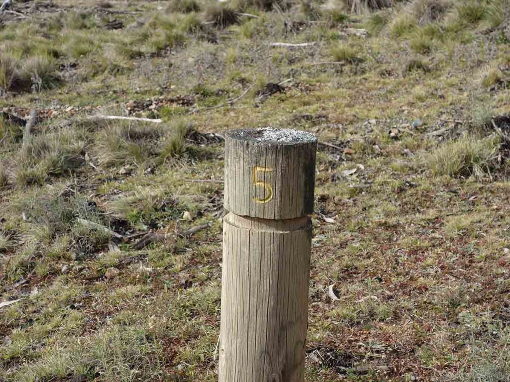
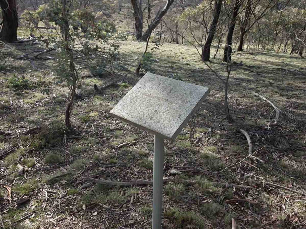
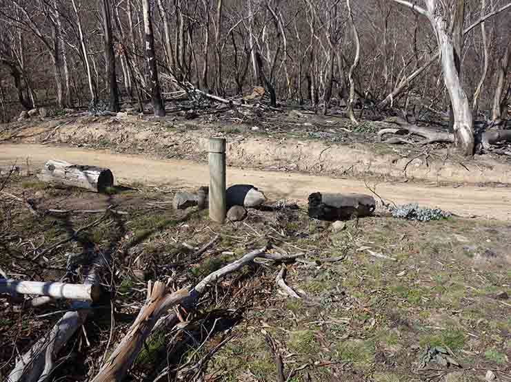
Numbers sign that shows particular features. Download the trail brochure here
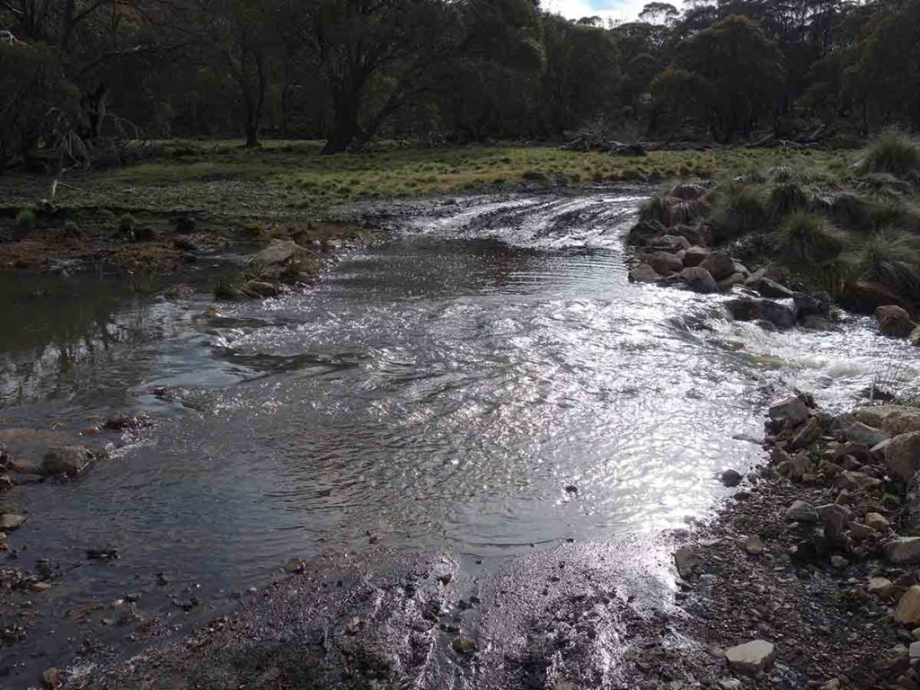
Water crossing 1
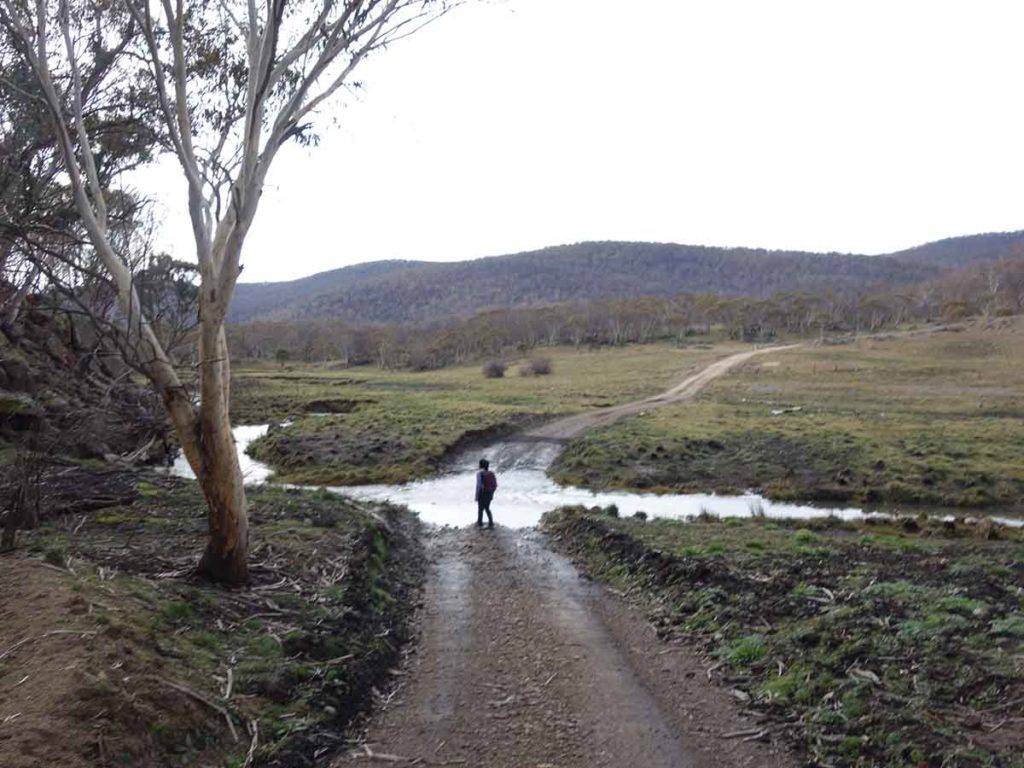
Water crossing 2
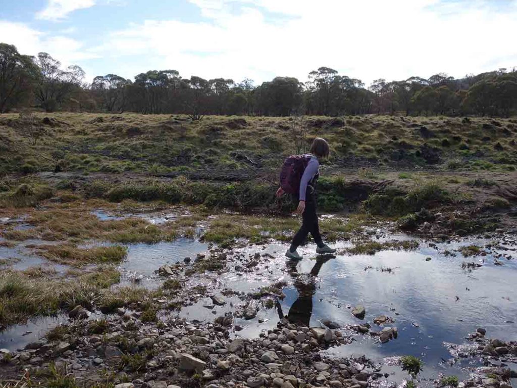
Water crossing 3
Trail example 2
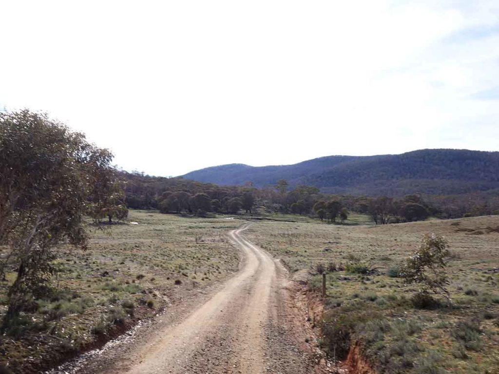
Landscape opening up
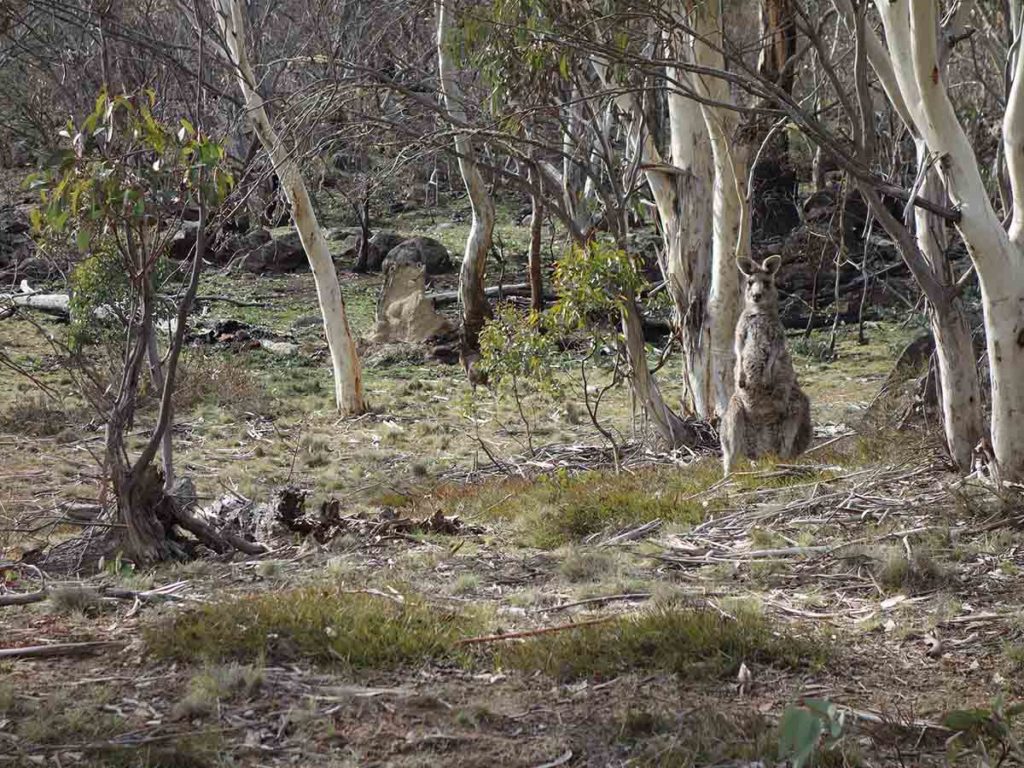
Kangaroo just off the trail
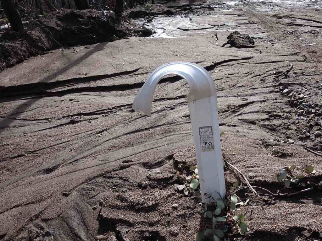
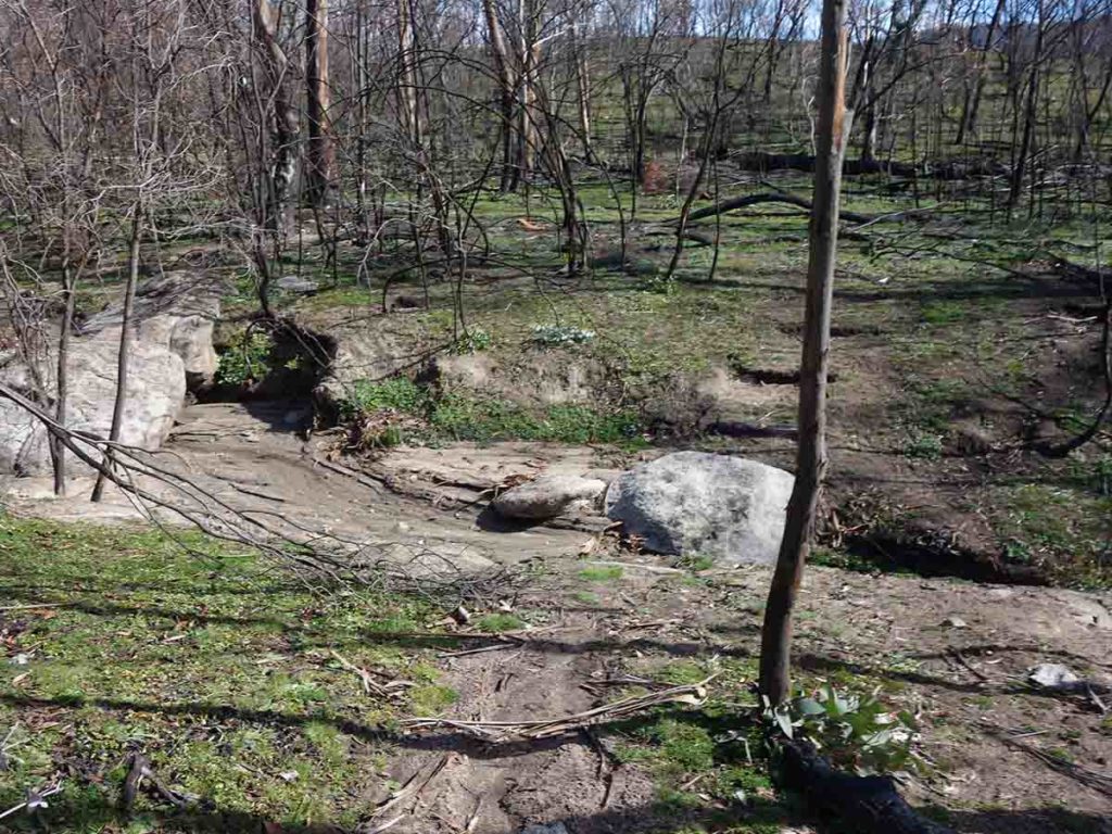
Melted post and silt. The fires have exposed the ground and the heavy rains have washed a lot of the soil downhill
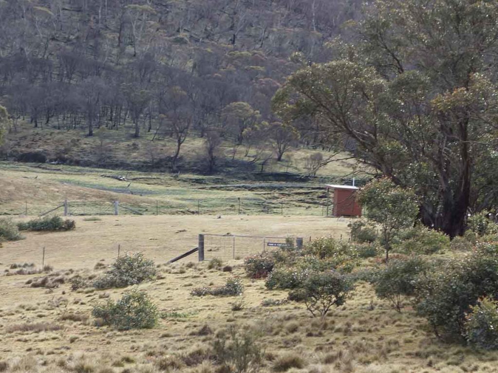
Approaching Horse Gully Hut
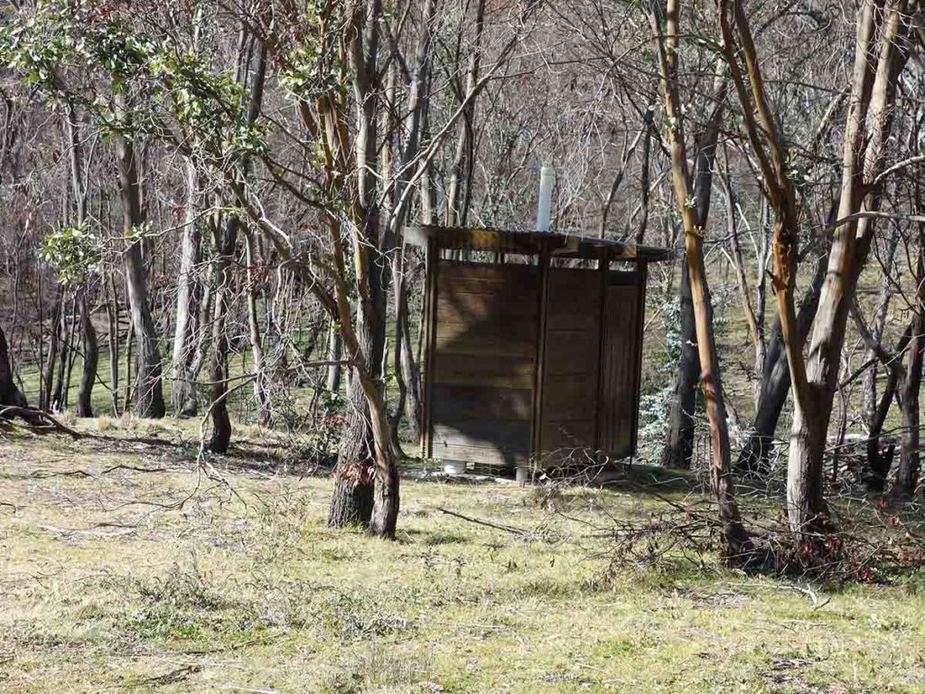
Toilet at Horse Gully Hut
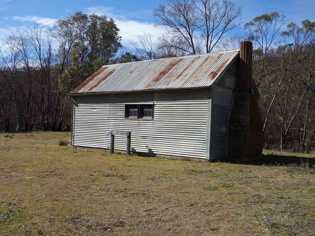
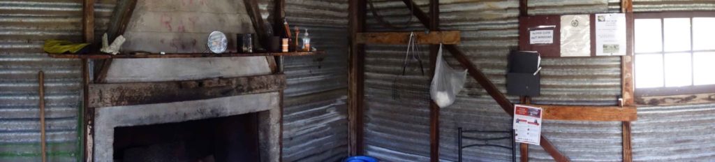
Horse Gully Hut
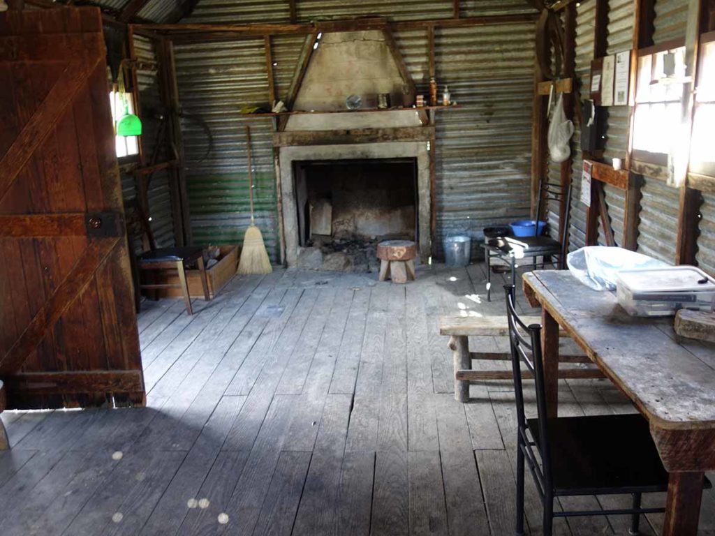
Inside Horse Gully Hut
Horse Gully Hut
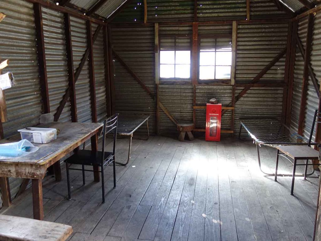
Inside Horse Gully Hut
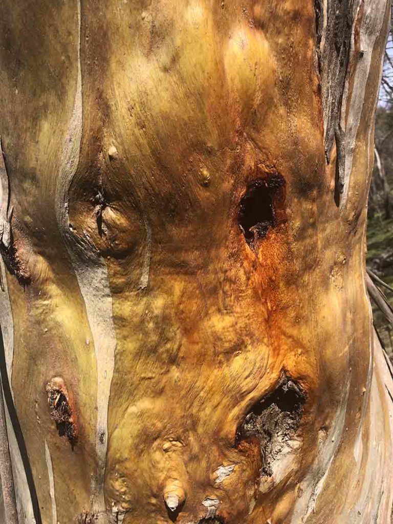
Stunning tree bark
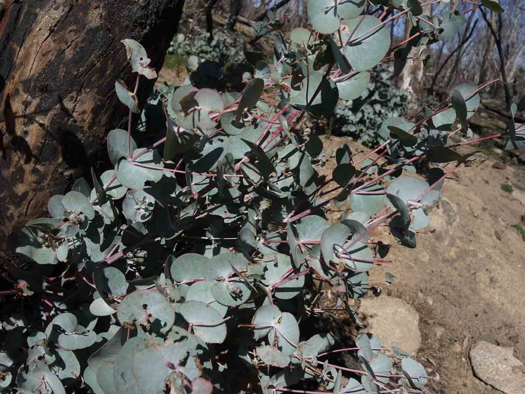
Regrowth
Heading home
Heading to Demandering Hut which is just off the management road on the way back at post 15
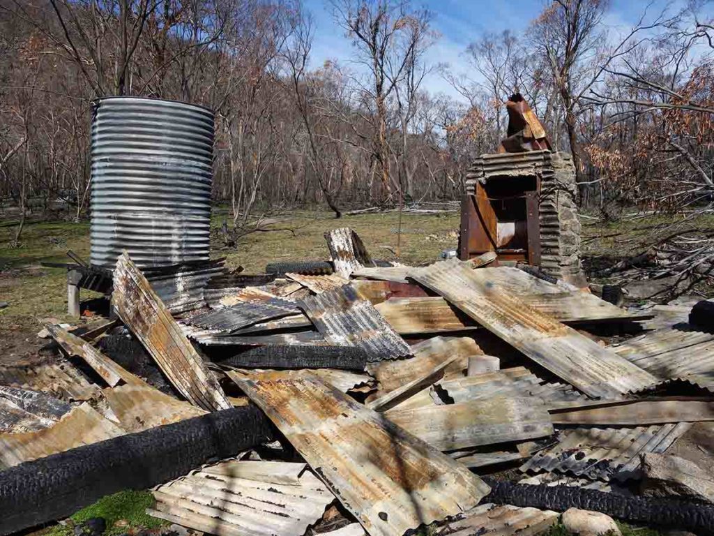
Demandering Hut ruins, destroyed in the 2020 fires
Back onto the road
Creek below the road
Back across the water
Back across the last creek
Sign out on the way back
Back to the trailhead
The 18.2km return walk to the Horse Gully Hut and the recently destroyed Demandering Hut is through a more remote area of the park. This is a great opportunity to see some alpine heritage as well as having a bit of peace and quiet
Getting There
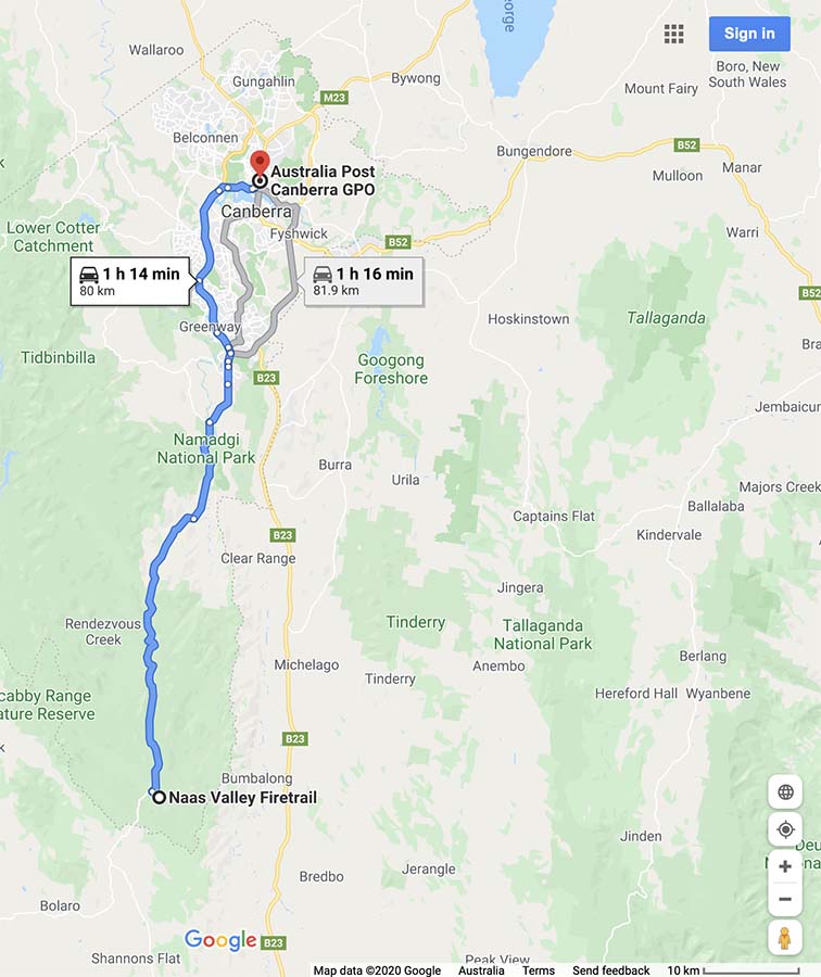
Google map to the trail head from the Canberra GPO
- From the Tharwa Bridge head down Boboyan Road towards the Yankee Hat Rock art site
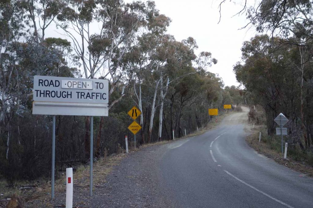
- Instead of turning off to the right towards the Yankee Hat car park keep on going. The bitumen ends not far from the Yankee Hat turnoff and the road is usually in good condition for an average car. The further south you go the poorer the road becomes
- The road edges can be a bit soft and in cold conditions there can be snow and ice on the road so drive carefully. WARNING: sometimes the road may be closed so if doing this walk mid winter check on the sign just as you go over the Tharwa Bridge and with the Namadgi Visitor Centre prior to driving to this site
- At the end of the bitumen road travel about 2.6 km until you come to the Hospital Hill lookout on the right hand side of the road. This lookout is signposted and is adjacent to the road so a stop off is well worth the visit – there are some great views
- From the Hospital Hill lookout travel a further 12 km and the Mount Clear Campground is on the left. This car park is also sign posted. As you turn into the Mount Clear Campground road, take the right turn towards Horse Gully trailhead – you’ll see the campground on the left
The whole trip from the Canberra GPO is just on 80 km
Yankee Hat turnoff. Keep to the left and head towards Adaminaby
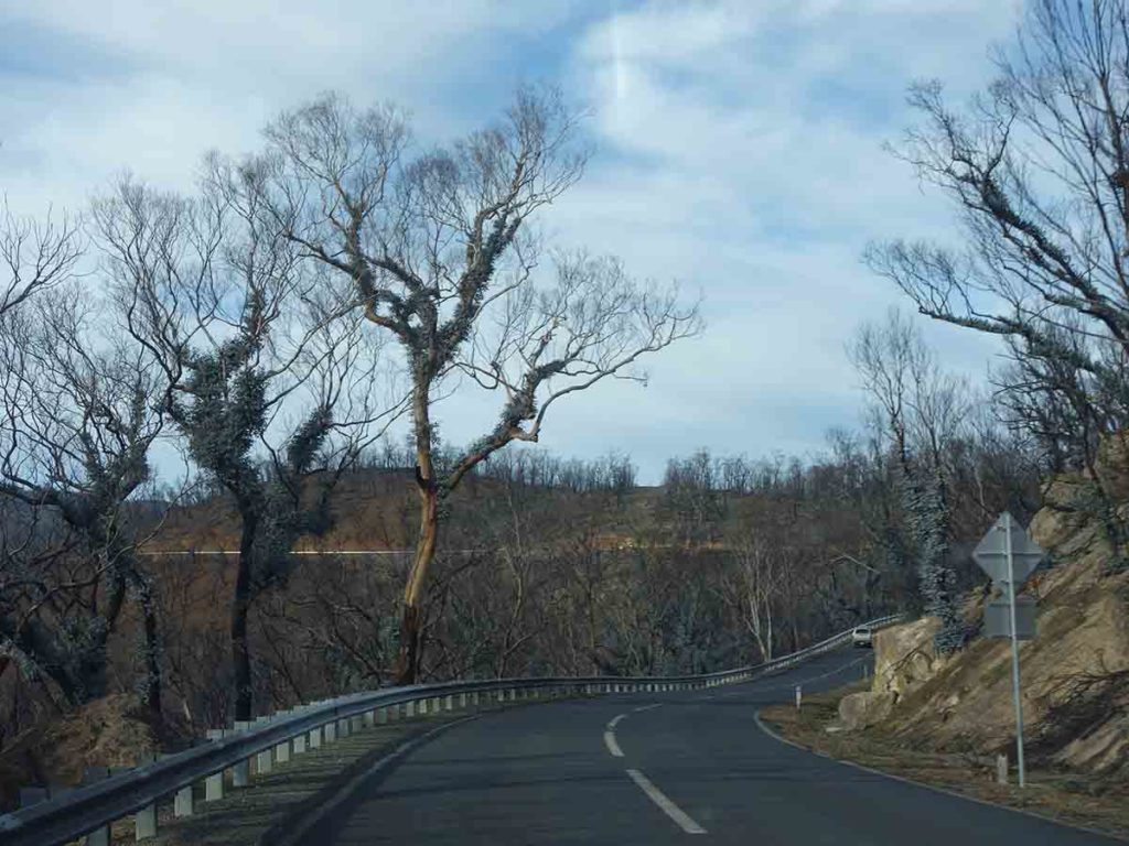
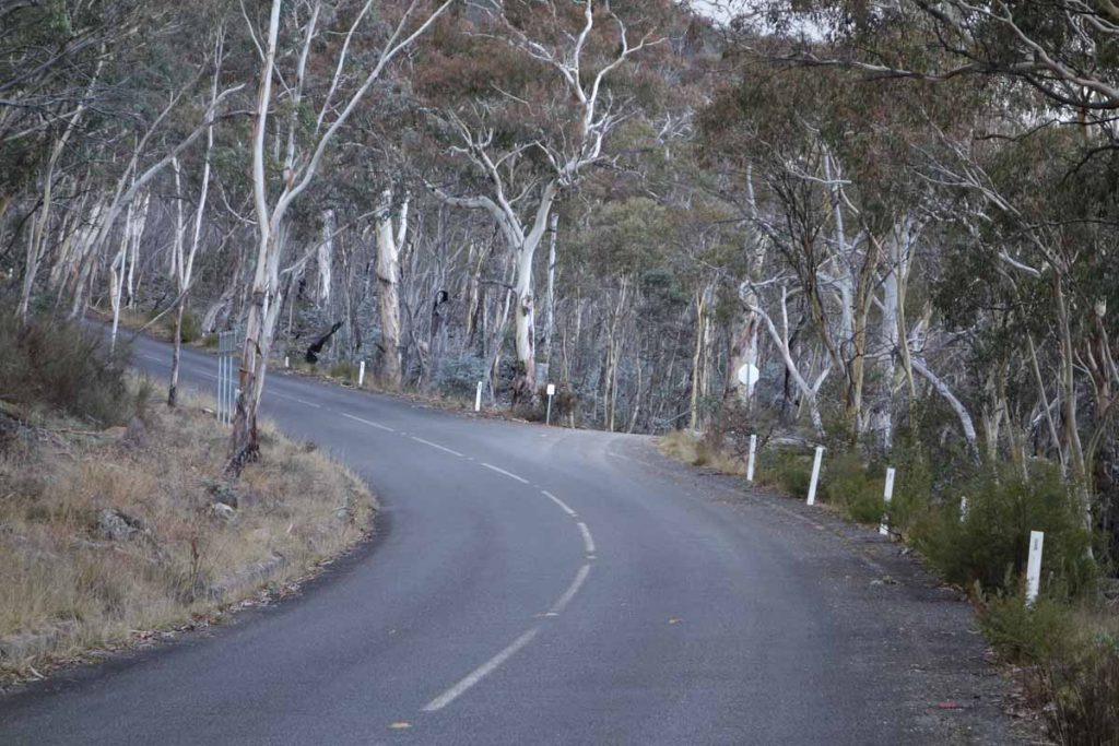
End of the bitumen road. The dirt road from here on is usually in good condition
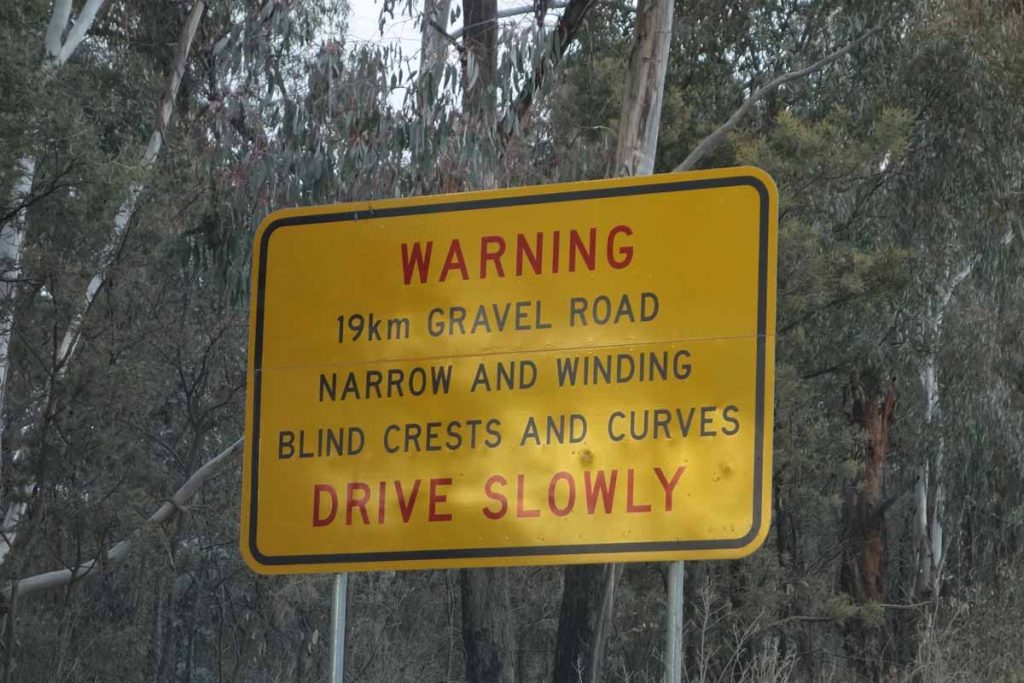
Road warning sign. You’ve been warned!
Hospital Hill lookout car park
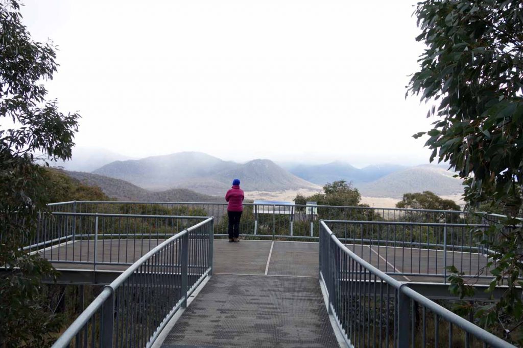
Hospital Hill lookout. Stopping here is worth the trip itself
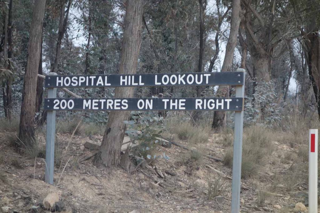
Hospital Hill lookout signage
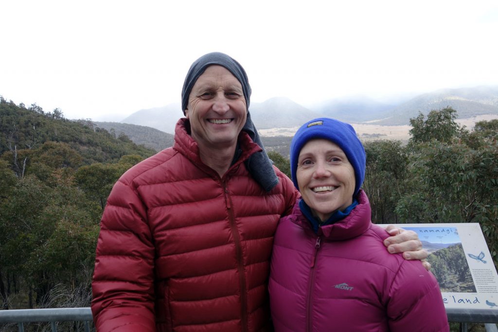
Tim and Gill at Hospital Hill lookout. The views from here are well worth the stop; and yes it was cold on the day we visited
Things to Know
- Phone: There is almost no mobile phone coverage on this trail
- Water: You need to bring water otherwise you can drink from the Naas Creek that follows much of this trail but we recommend you filter water if you collect it along the way
- Toilets:The closet toilet facility is at the Mount Clear Campground about 500 metres from the trailhead, there is also a toilet at Horse Gully Hut
- Trail: This trail consists of formed track, mainly on management road
- Dogs: No dogs allowed
- Camping: Camping allowed
- Other:
- This walk is donees an out and back walk
- Keep an eye on the road once you reach the unsealed section as there is a lot of 4WD traffic and blind corners. The further south you go the poorer the road becomes. Don’t take low slung cars on this road
- This road is subject to snow conditions in wintertime and is sometimes closed.
- The 2019-20 bushfires have drastically reduced overhead tree coverage on this trail so avoid the hottest part of the year.Having said that the vegetation is growing back with a vengeance and is getting better and better all the time
Disclaimer
This walk was undertaken by the team from Australian Hiker