Yellow Track, Bungonia NSW (4.4km)
Bungonia National Park
Nearest Town
The closest town to the trailhead is Goulburn, NSW. You will also pass close by the tiny hamlet of Bungonia
Starting Location
This trailhead is located in the Bungonia National Park campground
Finish Location
Bungonia campground trailhead
Best Time of the Year to Walk
Year round
Yellow Track, Bungonia NSW Review
Bungonia National Park is without a doubt one of those gems that for many remains unknown. Located in Country NSW close to the inland city of Goulburn, 90 minutes from the outskirts of Canberra, and not much further from the southern outskirts of Sydney. This National Park focuses on the Bungonia Gorge, a large gorge that provides panoramic views and contains plenty of walks that will suit walkers of all levels of experience, including one that takes you into the gorge itself (the Red Track). Whichever walk you do, please remember to sign the walk intention form located on the front verandah of the visitor centre. The Yellow Track is an ‘out and back walk’ and like the Mt Ayre White Track Walk this one surprised us for a number of reason.
The trailhead for this walk is located in the Bungonia National Park campground and at least for the first 100 metres shares a section of the larger Green Track loop. As it breaks away from the Green Track, it veers to the left and takes you downhill towards Bungonia Creek. The Park information warns hikers that this creek crossing may become flooded in periods of heavy rains so if that describes the conditions on the day, be prepared for a short trip. Crossing the creek during drier times involves some creative rock hooping if you want to keep your feet dry but most hikers should cope with this reasonably easily.
The track is on formed trail and like most other walks in Bungonia it’s easy to follow and apart from the downhill and uphill section to the creek, is not overly taxing. The first surprise for us came in the length of this walk and while the Park information sheet identified this walk as being 2.km in length, my GPS measured it as being 4.4 km. As such, the walk took us almost two hours to complete which – a good indication that the distance was longer than it was supposed to be.
On the trail out there are a couple of natural lookouts but the real gem is the remote, and completely unexpected lookout – the second surprise on this walk. We expected the lookout to be one of the older less loved styles common in many national parks but while is definitely an older lookout that provides some stunning and unexpected views down into the valley below. While we didn’t see much in the way of wildlife, we did come across a male Lyrebird which shot off when it saw us. The lookout is a great spot to spend some time taking in the views before heading back the way you came and returning to the trailhead.
This really is a walk well worth doing taking you through bushland that provides a sense of unexpected remoteness and great views.
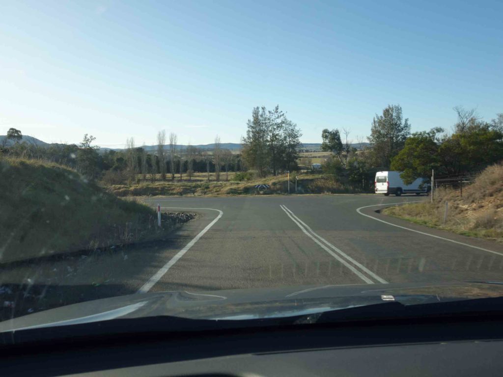
Getting to Bungonia National Park takes a bit of weaving but the signage is reasonably good. Your best bet is to enter ‘Bungonia campground’ into Google Maps and this will direct you very well to the start point
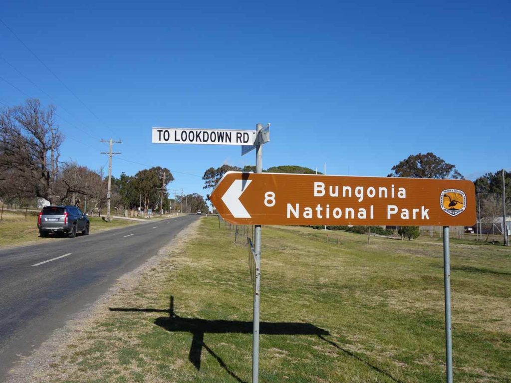
Follow the road signs to the Bungonia National Park
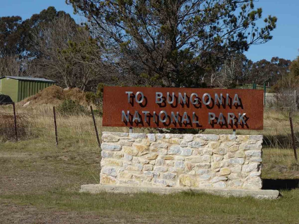
The signage is very obvious to the park. This intersection is just before Bungonia village
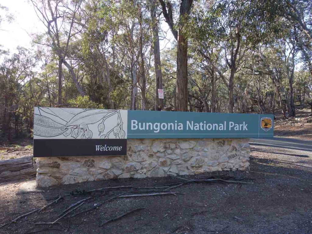
Entering Bungonia National Park
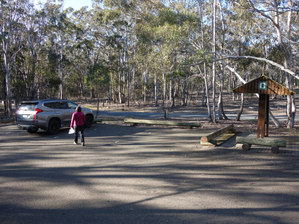
Visitor centre car park
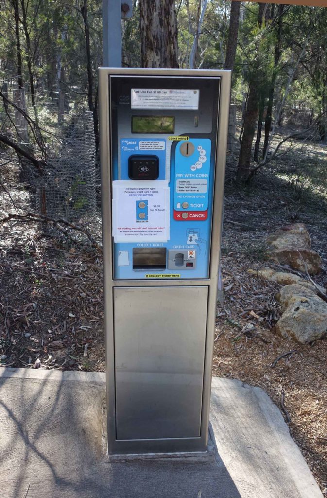
Park entry fee machine
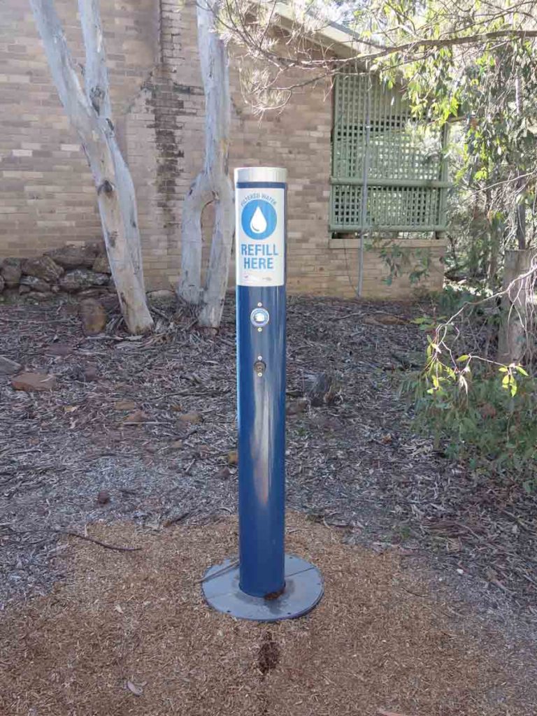
Water tap at the visitor centre. There is another one at the campground. The water tanks at the car parks contain unfiltered water
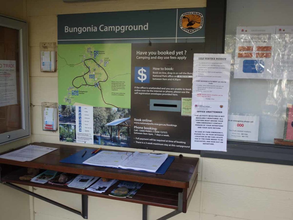
Close up of trail register – make sure you sign in and out. There are copies of the paper trail maps just to the side of this register
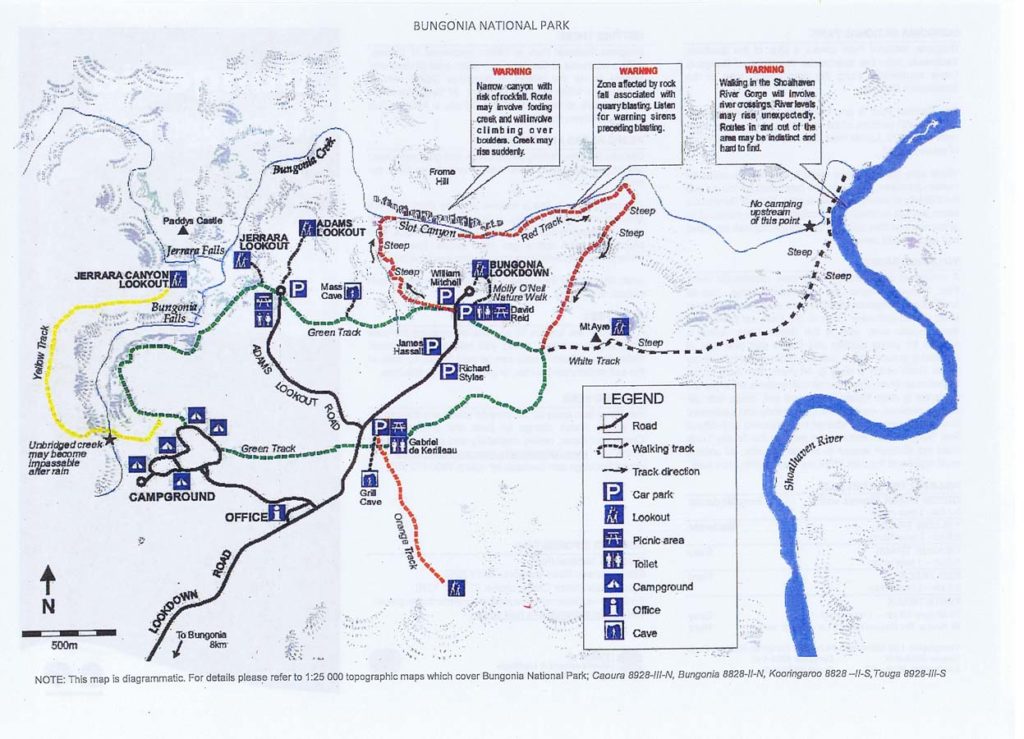
Bungonia National Park trail map. This images was current as at 9 August 2020. The Yellow Track is colour coded like the others on this map. Use this image as a guide but you are best picking up a hard copy at the park just in case there have been changes
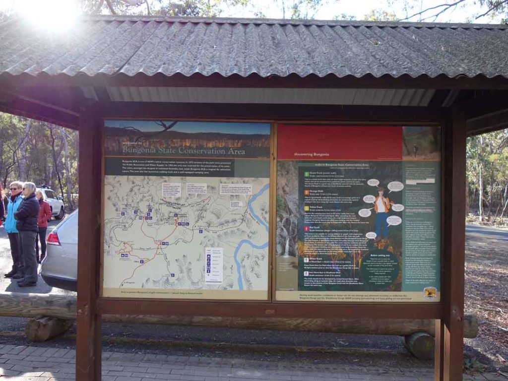
Bungonia Gorge signage. These information kiosks are spread around the park and contain detailed information on the walks
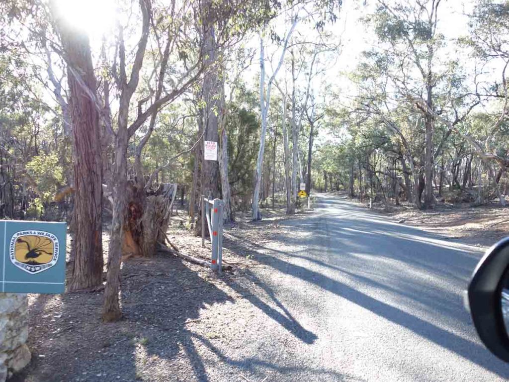
There is a road that accesses all the main car parks and runs a short distance through the park. It can be a bit narrow at times so pay attention to the traffic
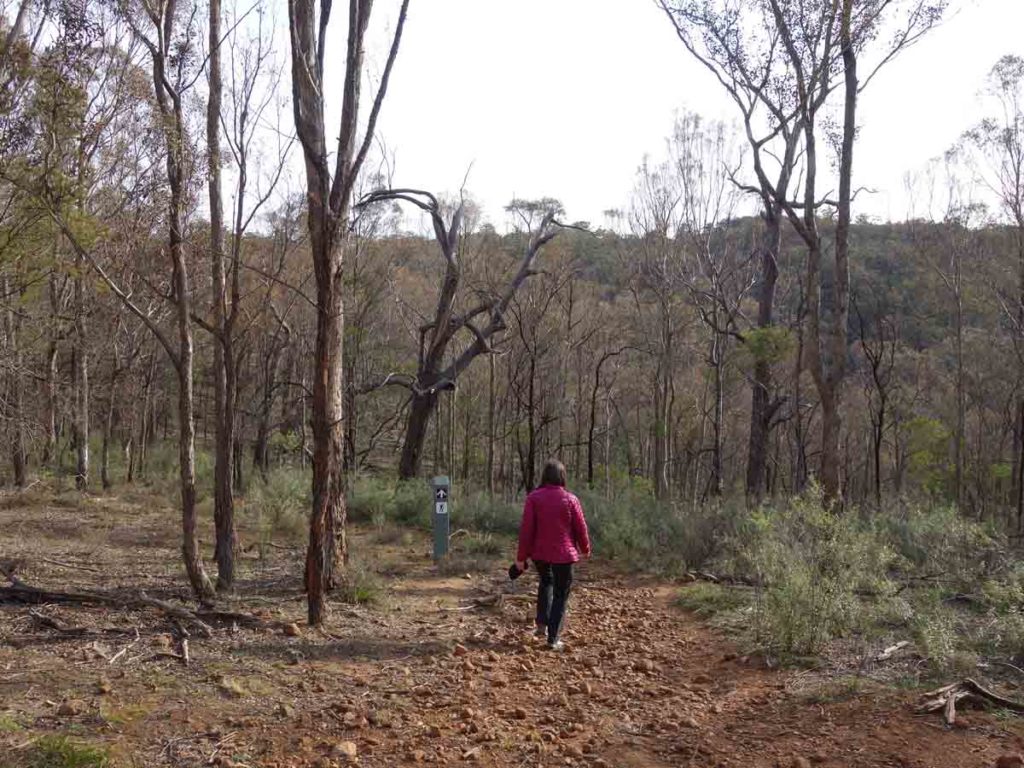
Trail example after the start of the track
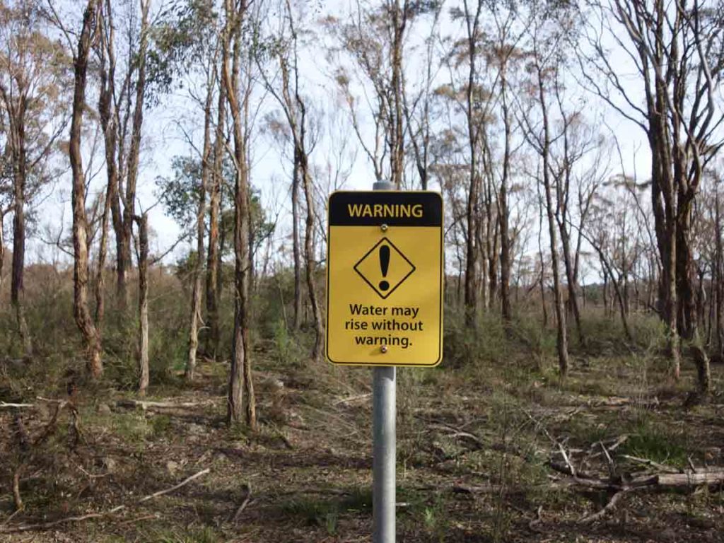
Warning sign. If there have been sustained periods of heavy rain the creek crossing may be inaccessible
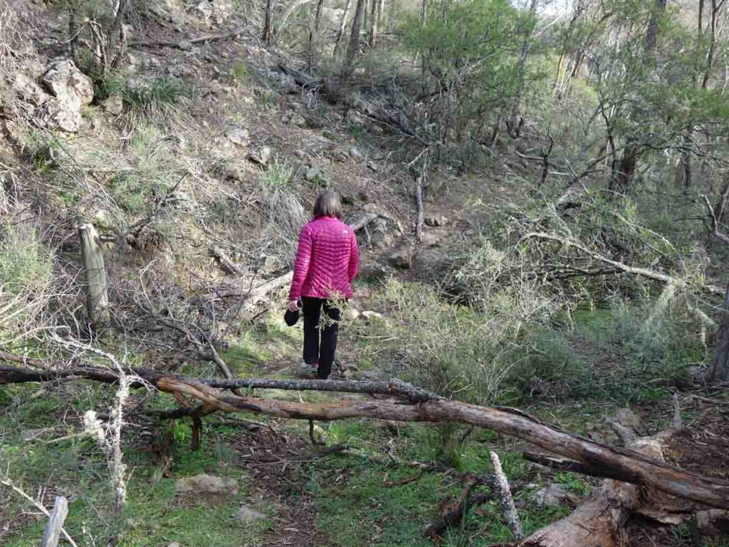
And down we go. The first section of the track is dominated by a descent down to the river and then you head back up the other side
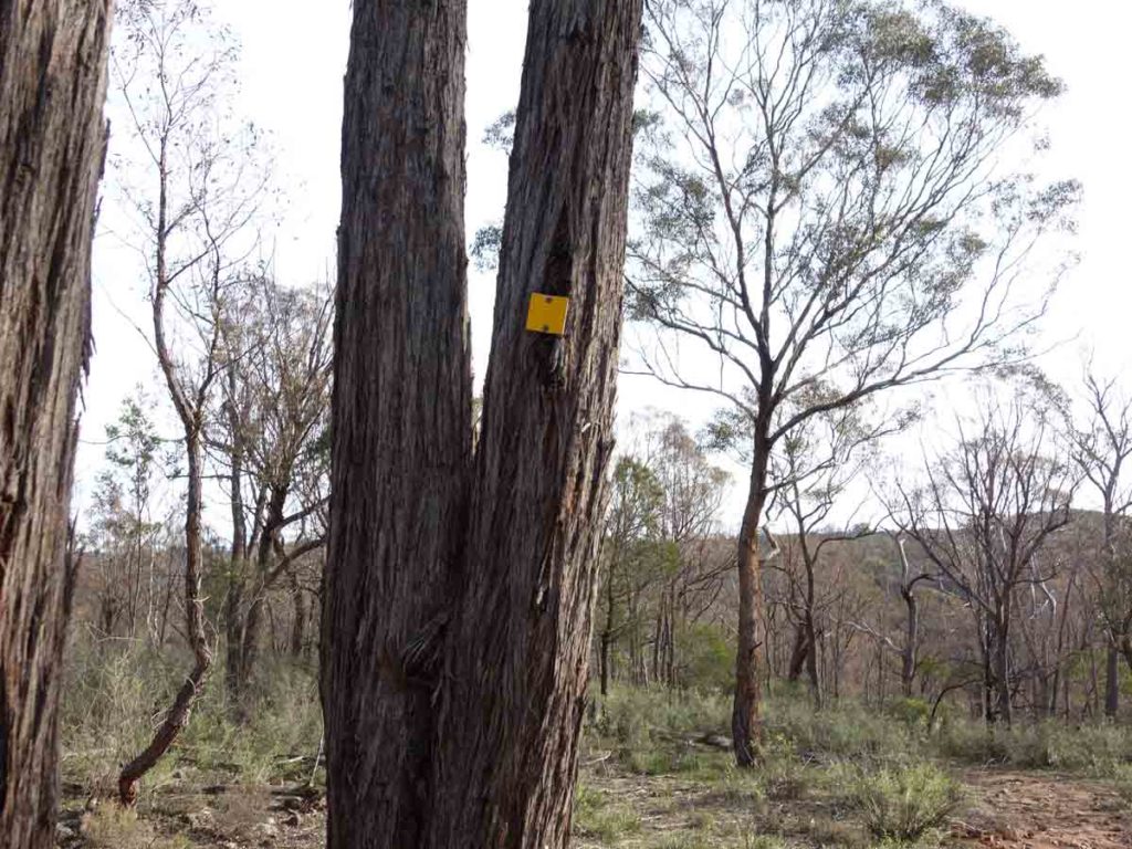
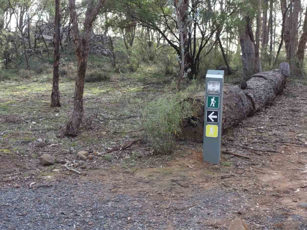
Trail marker for the Yellow Track
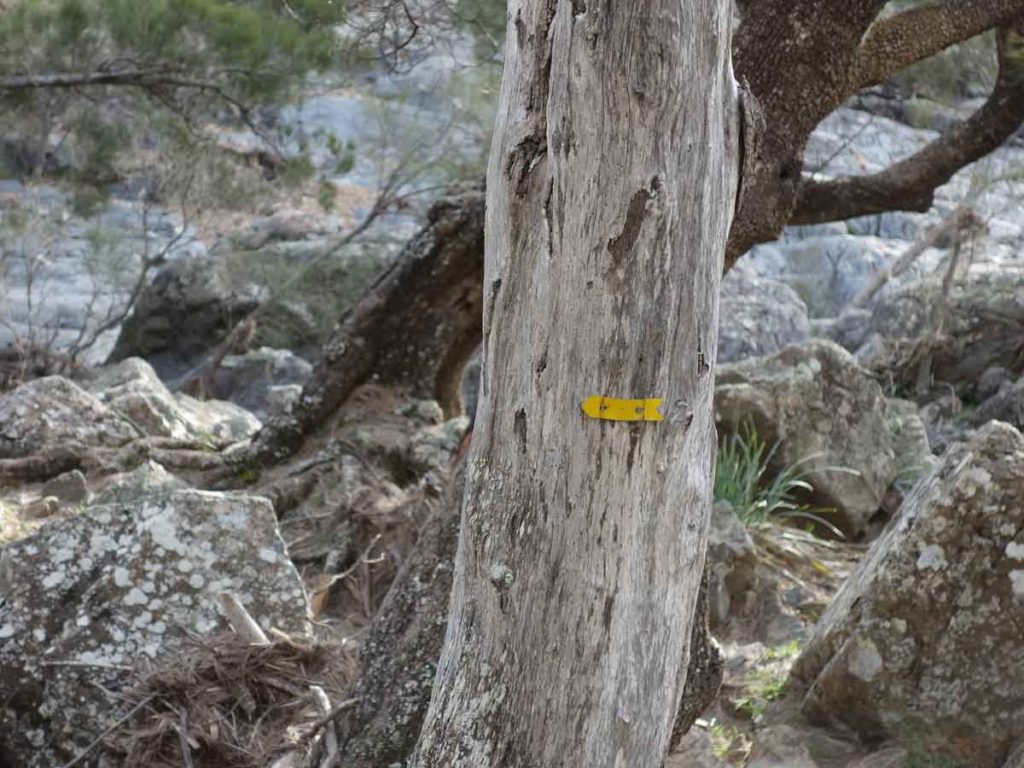
Alternate trail marker
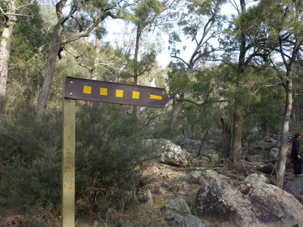
Creek crossing point, you can’t miss it
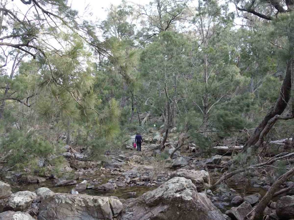
Creek crossing – just pick your way across
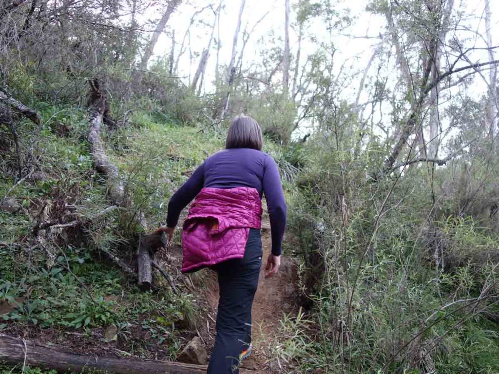
And up we go as we leave the creek behind
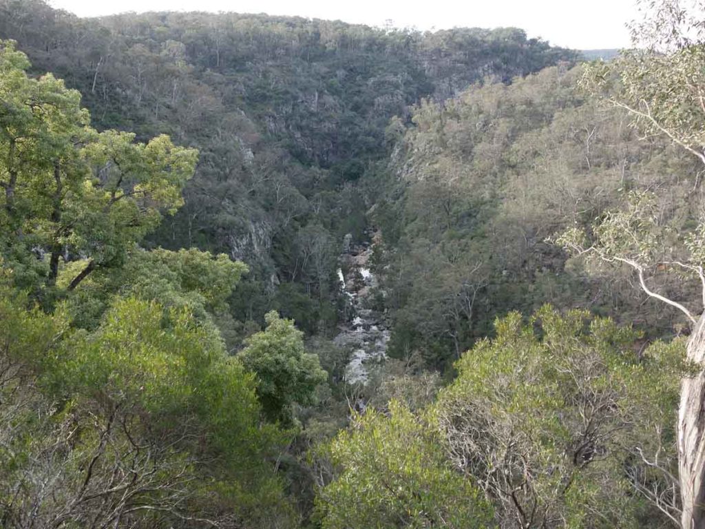
View from one of the natural lookouts down into the Gorge
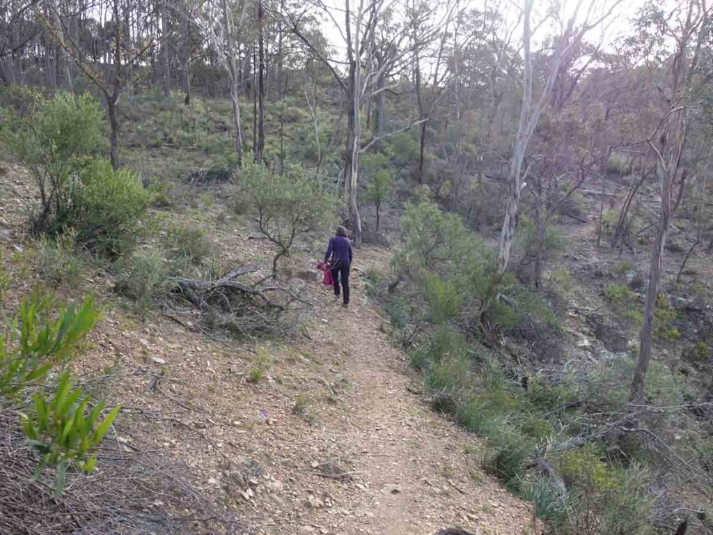
Trail example

Panorama view from the lookout
View from the lookout on the Yellow Track
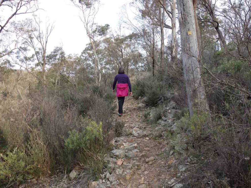
Heading back to the trailhead
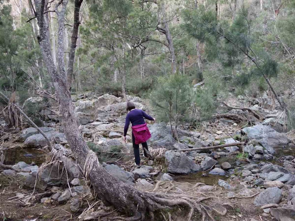
Back across the creek
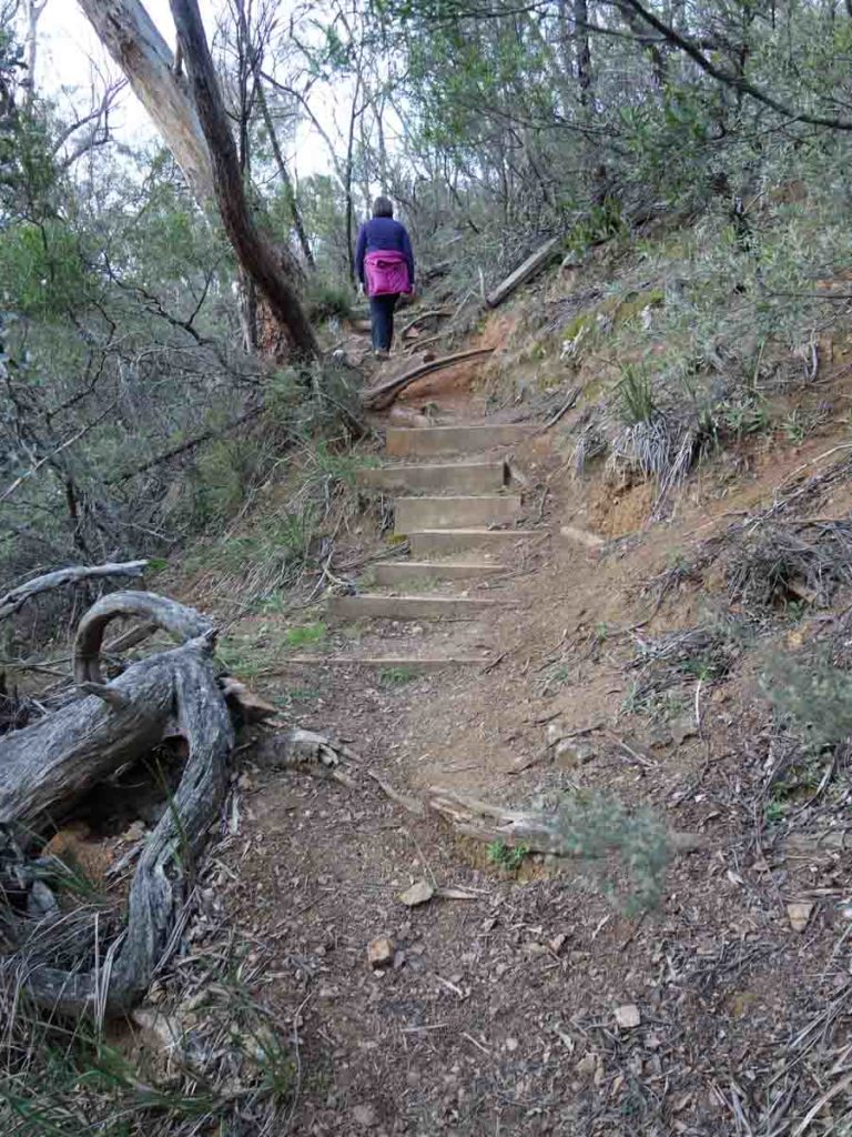
And up the stairs
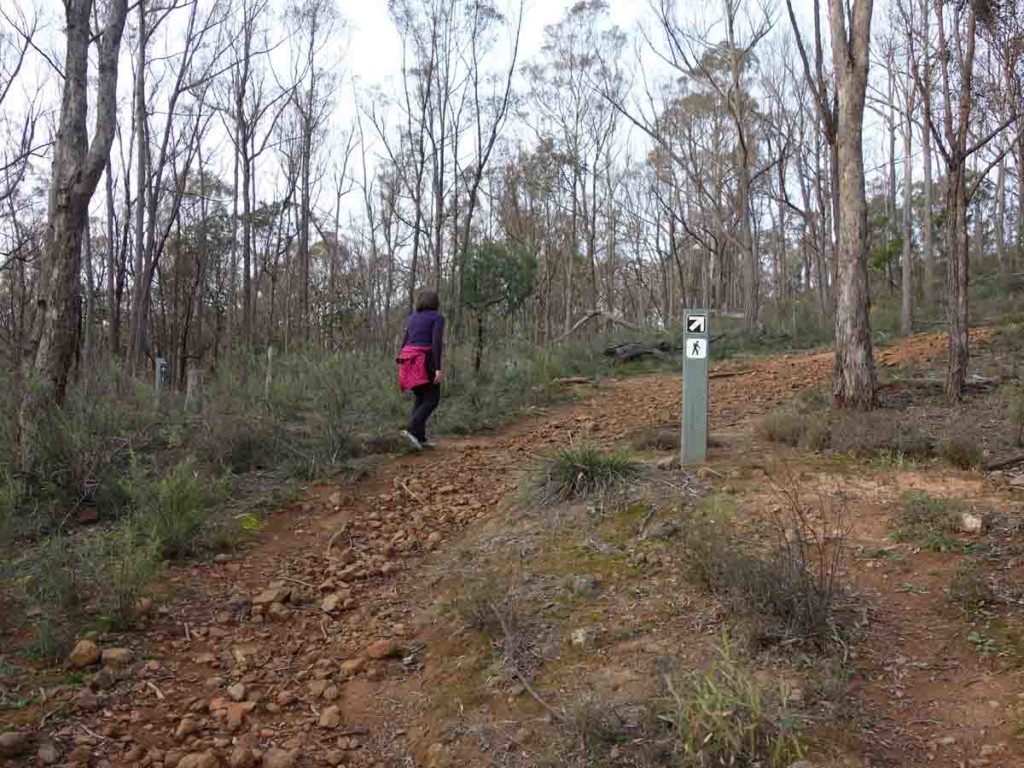
Bleached yellow trail marker. Although the sign looks white this is actually the marker for the Yellow Track
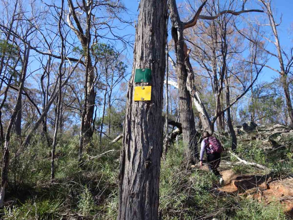
Green Track and Yellow Track shared section
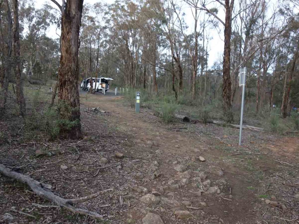
Back to the trailhead
Walk slide show
This 3 minute slide show is a combination of images and video from the Yellow Track in Bungonia National Park, NSW
Getting There
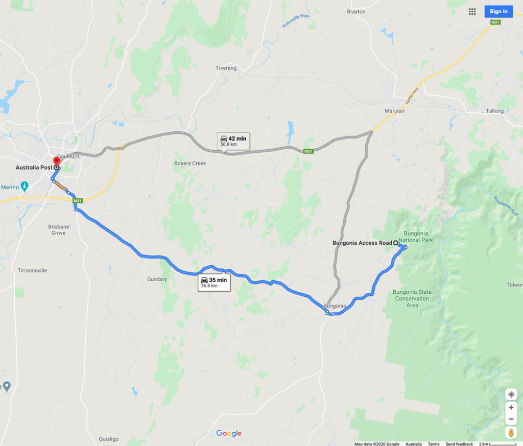
Google Map to trailhead for the Yellow Track. The trailhead is around 37 km from the Goulburn GPO and around a 30 minute drive
Things to know
- Water: There is water available at the visitor centre as well as at the campground
- Phone: Phone signal on this trail is variable so while you may get text and phone usage in some areas, you are unlikely to get data access
- Toilets: Available in the campground adjacent to the trailhead
- Dogs: No dogs allowed
- Trail: This trail is on easy to follow formed track however there are some poorer quality sections
- Other:
- You will need to sign a visitor intention form so you can be traced in case of emergency. You will also need to sign out after you have finished
- It’s worth picking up a copy of the paper map available next to the sign-in book to get you an overview of the various tracks in the park
- Suitable for all ages
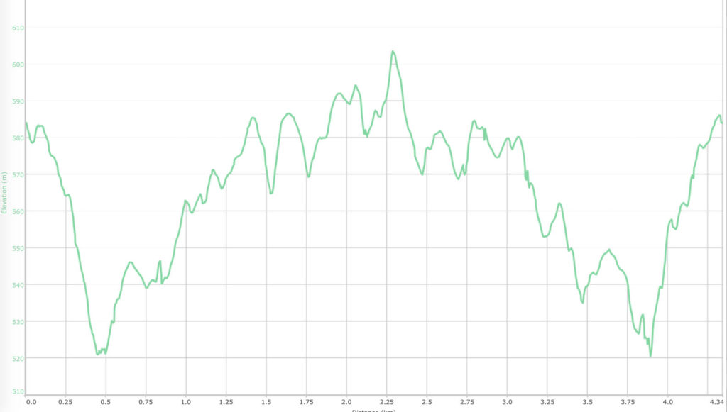
Elevation profile for the Bungonia Gorge Yellow Track. This track doesn’t have huge elevation changes but it’s a hard slog at times
Disclaimer
This walk was undertaken by the team from Australian Hiker