Cooleman Ridge Nature Trail ACT (3.6km)
Urban bush walk
Nearest Town
Canberra
Best Time of the Year to Travel
Year round
Starting Location
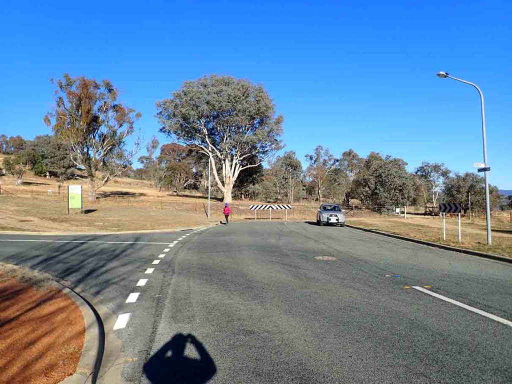
The end of Kathner Street in Chapman (ACT)
Finish Location
The end of Kathner Street in Chapman (ACT)
Cooleman Ridge Nature Trail Review
The Cooleman Ridge Nature Trail is another of Canberra’s hill walks that provides scenic views over part of the city and at the same time into the surrounding bushland thereby creating the best of both worlds. This walk started out a bit slow but by the end I really felt that this shortish walk was well worth it.
The walk starts at the end of Kathner Street in Chapman and from here you enter the reserve through an access gate. Very shortly after you start the walk you will see a small wooden box with walk brochures that provide information on what you will see along the way. You can do this walk in either a clockwise or anticlockwise direction however the numbering systems directs you to go anticlockwise; the views are more logical in this direction as well.
Once you have made up you mind which direction you will travel follow the well worn trail along the base of the hill before ascending upwards at a gradual pace. A word of warning here to follow the numbered signs and marker arrows and not the Canberra Centenary Trail markers as the trail diverges and reconnects at a later stage. The initial views of this walk are into the nearby farmland and over towards the inner hills that surround the western part the city and help to frame the Brindabella Mountain Ranges in the background. For me this walk became really interesting once you reached the first high point on the trail with provided much more scenic views.
The trail then continues downwards before starting to head up the main hill and at this point you start to loop back towards the start point. Just over 2km into the walk you reach the high point at the Trig Station and this is where you get the best of the views into the surrounding suburbs, over the Brindabella Ranges, and further to the north Black Mountain. One of the things that I love about hiking in Canberra’s winters is the pockets of fog and cloud that are trapped in the valleys with the hills being high enough that you catch glimpses over this trapped moisture and have full sun at the same time.
From the summit head down the hill on the stairway following the trail indicators and at the base of the hill above the last row of houses you follow the management trail back around the hill before descending downwards to your starting point and the car park.
This walk is not overly long or difficult but is definitely worthwhile doing at least once and if you happen to live in the local area its a great training walk providing good variety.
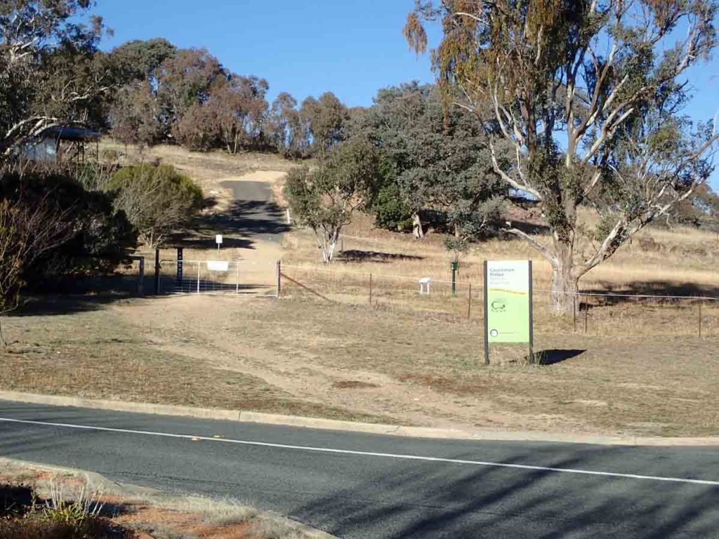
Walk start
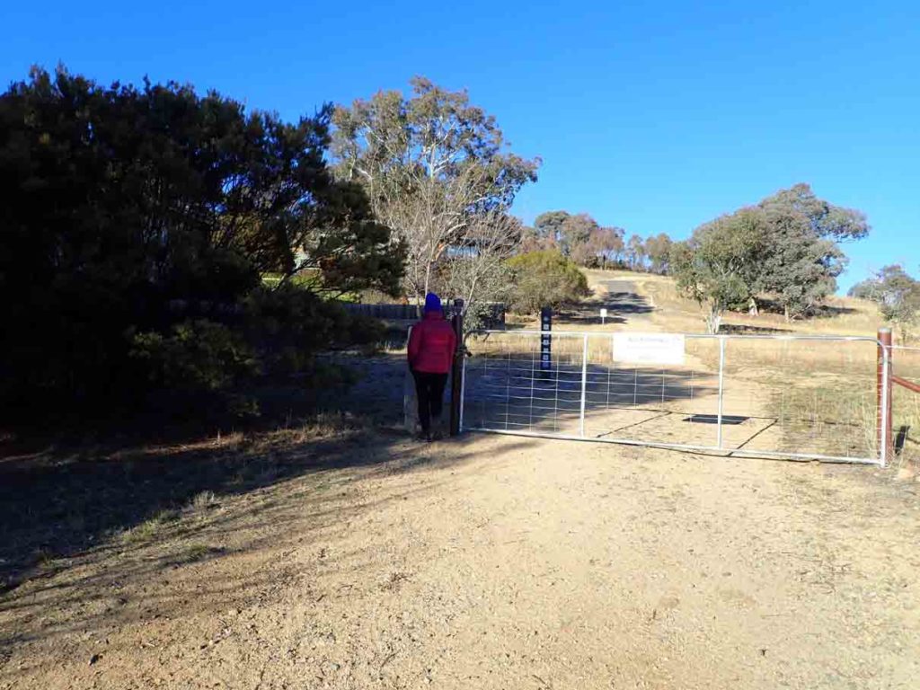
Through the next gate
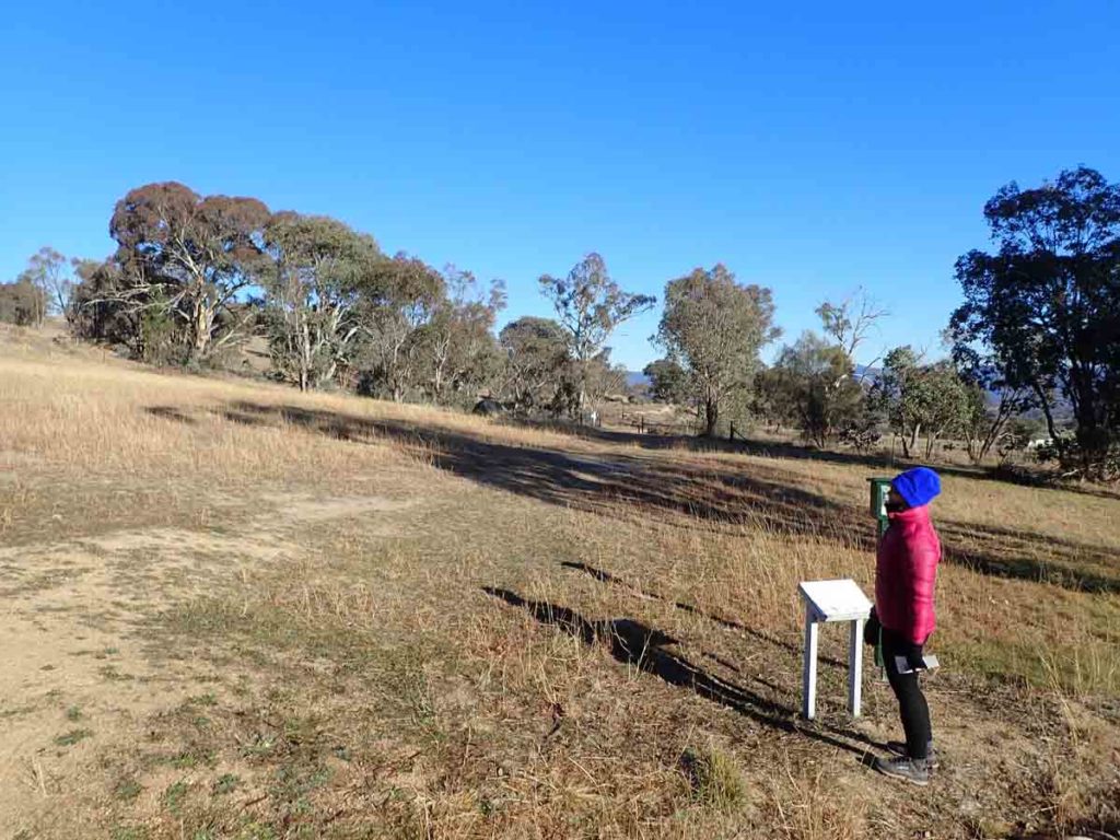
Trail head 1
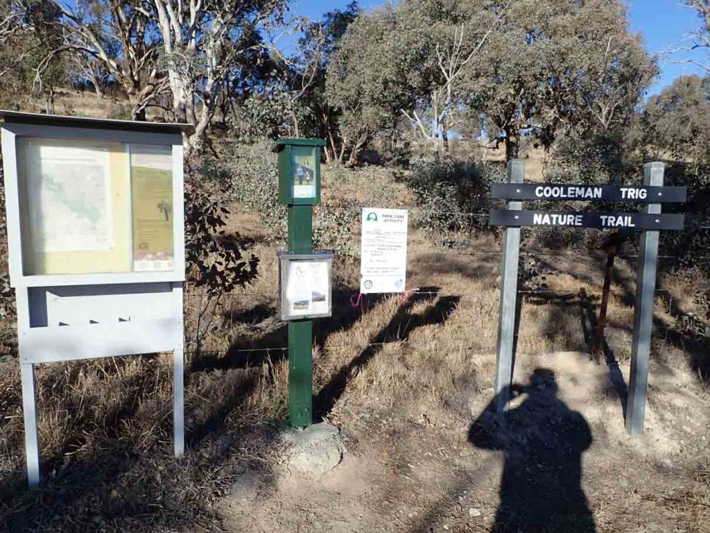
Trail head 2
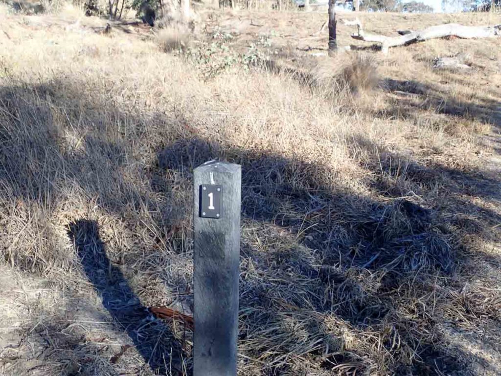
Numbered trail markers. The brochure provides a brief overview of what you are seeing at each point
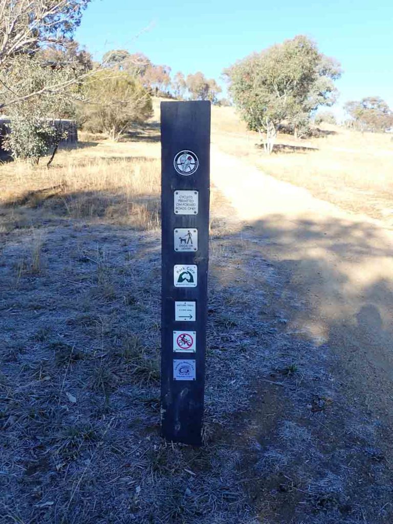
Dogs on leash. This sign also says the trail is 2.5km. The trail head signage says 2.7km, and my GPS measured 3.6km. Given the time it took to do this walk 3.6km is an accurate figure
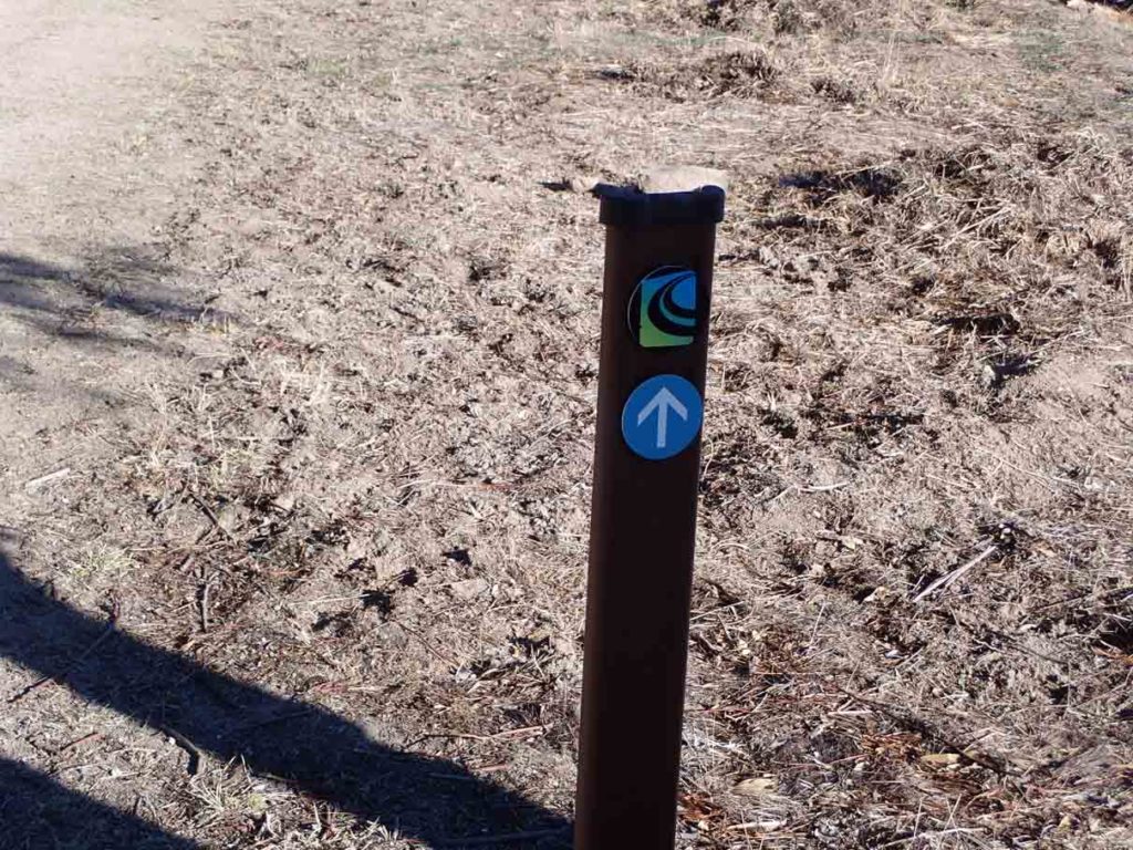
Canberra Centenary Trail marker. Don’t follow these markers as the trail splits and rejoins at a later stage
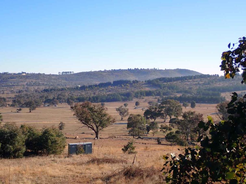
Early views across farmland
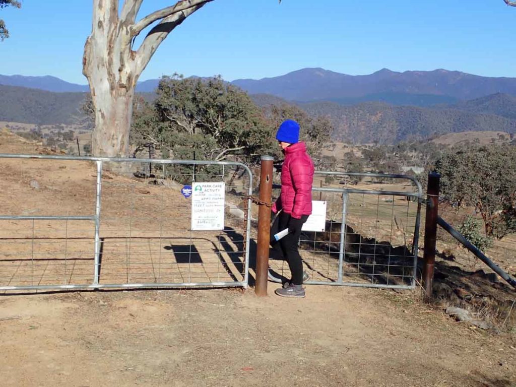
Through another gate
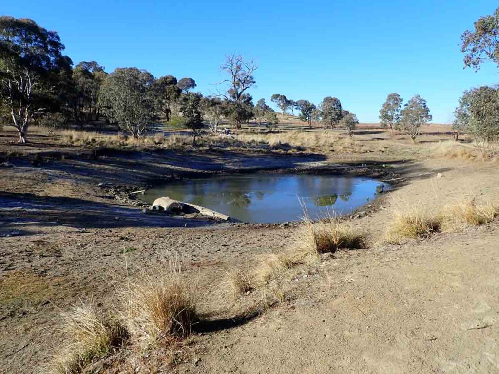
The second dam on this trail
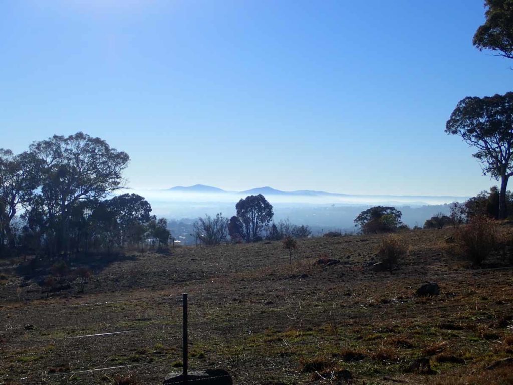
Mount Ainslie and Mount Majura in the distance in the northern part of Canberra
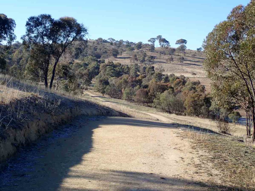
Much of this walk is on management trail
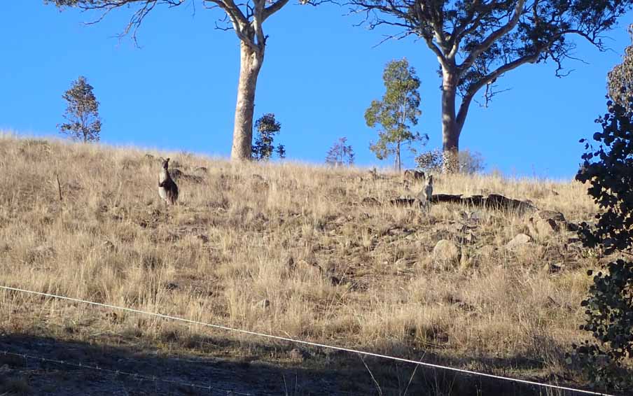
Kangaroos
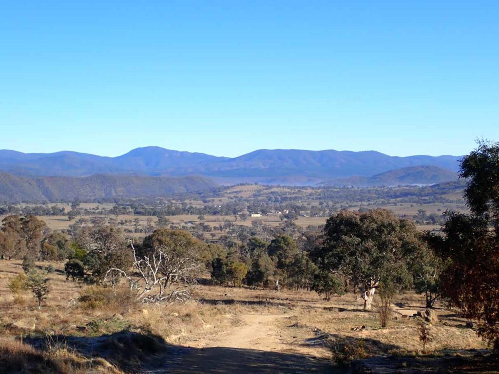
Farmland and the Brindabella’s in the background
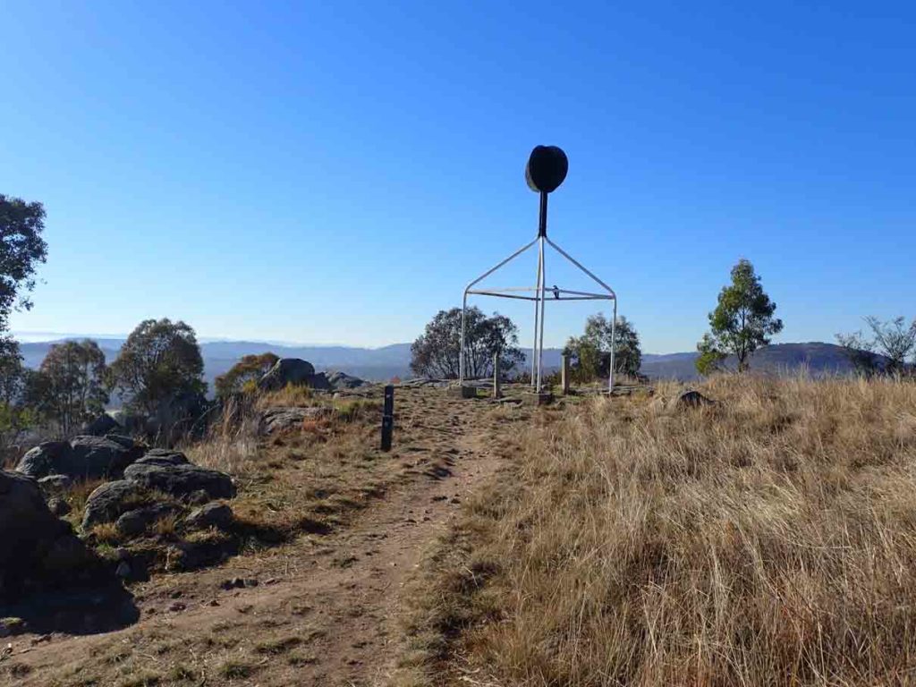
Trig Station on the highest peak
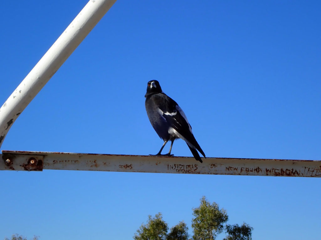
Can I help you? This Magpie was a bit annoyed that we bothered it.
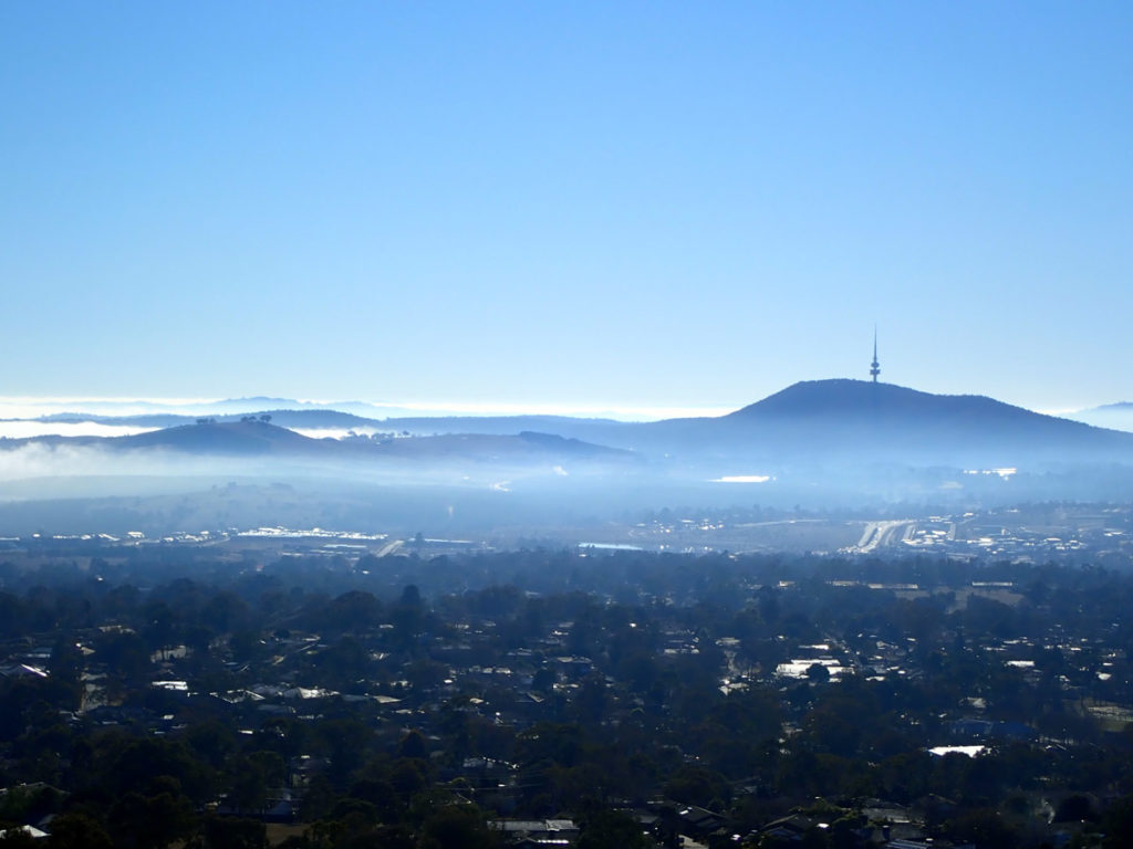
View from the Trig station just as the fogs lifts
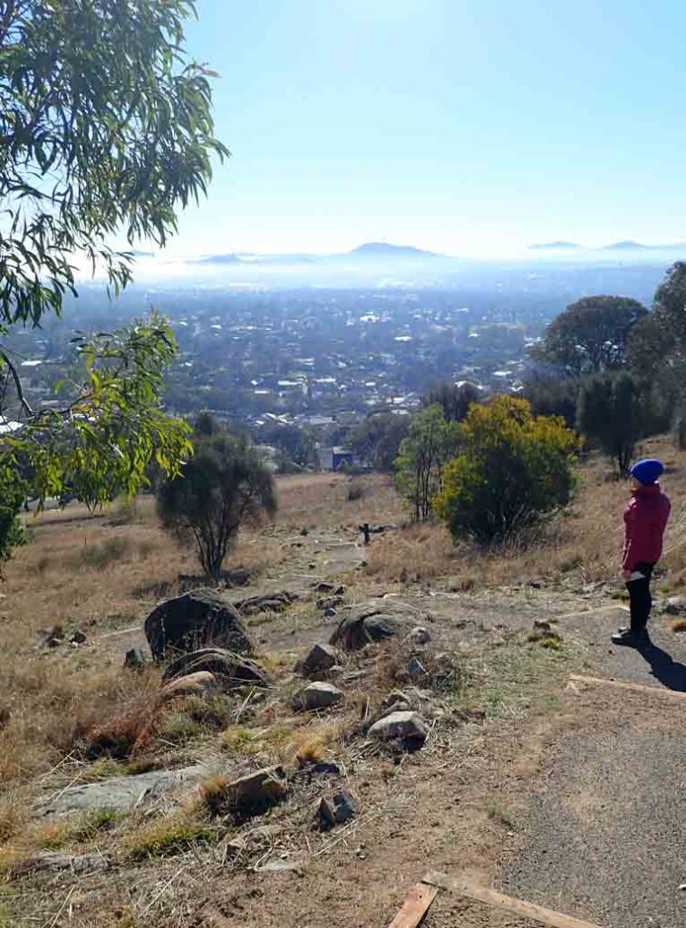
Head down the stairway from the trig station
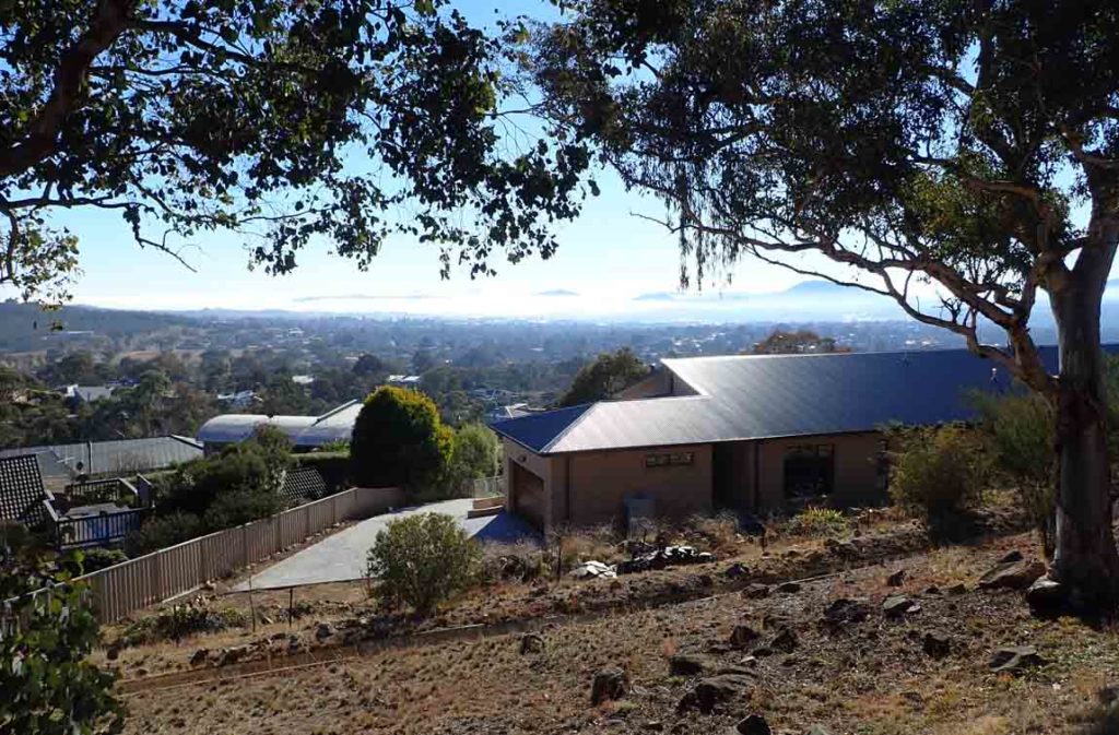
Houses just below the trail
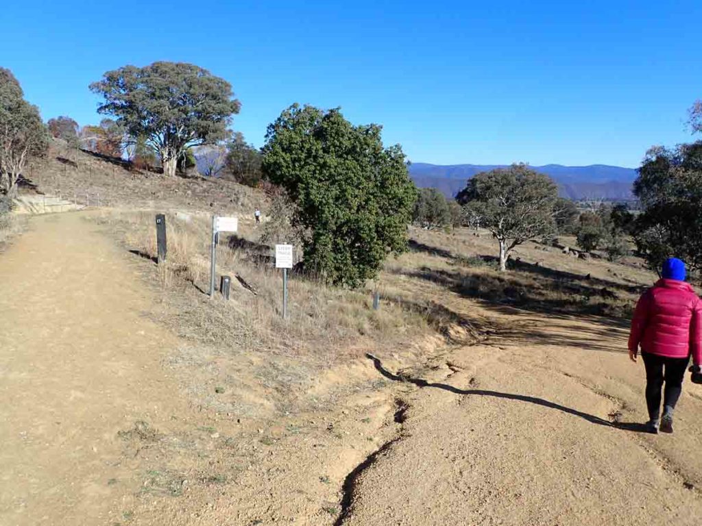
Follow the trail to the right
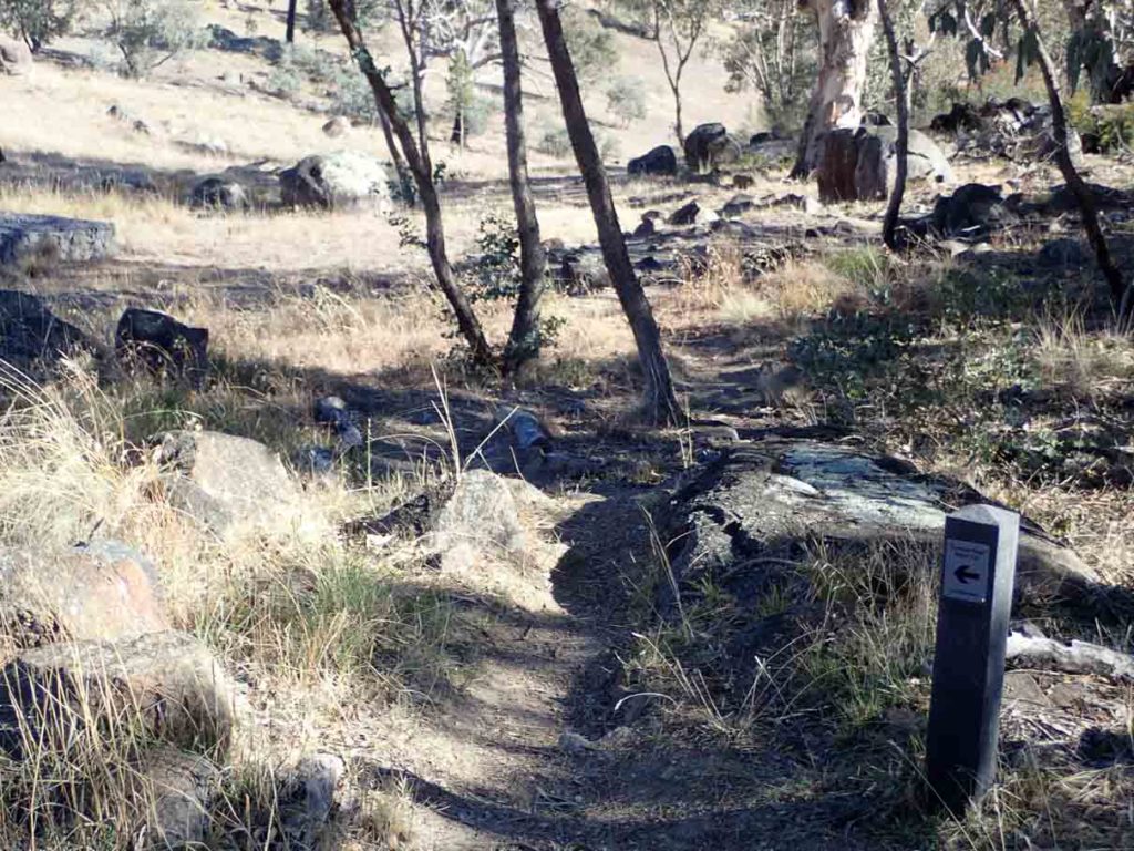
Complete this walk by going down the trail or down the path, your choice
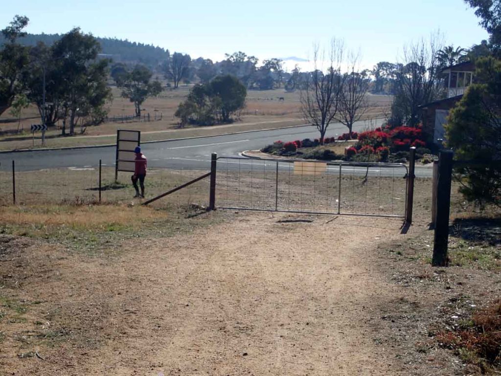
Heading back to the start of the walk
Getting There
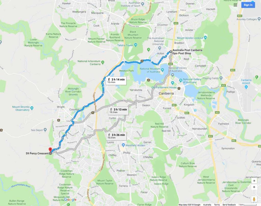
Google Map to the trail head for the Cooleman Ridge nature Trail from the Canberra GPO which is about 15km:
- This walk is located on the southwestern edge of the Australian Capital Territory. The car park is located just off Kathner Street in the suburb of Chapman

Parking area along Kathner Street in Chapman
Things to Know
- Phone: The mobile phone coverage is excellent on this trail
- Water: You need to bring your own water
- Toilets: There are no toilets on this trail
- Trail: This trail consists of formed track and beach walking
- Dogs: Dogs are allowed but must be on a leash
- Camping: Not allowed
- Other:
- This walk is done in an out and back walk unless you are doin this as part of a larger walk
- This trail is walkable year round
- The best place to start this walk is from the end of Kathner Street in Chapman.
Disclaimer
This walk was undertaken by the team from Australian Hiker