Mount Arawang Summit Walk ACT (1.3km)
Canberra Nature Reserve
Nearest Town
Canberra
Best Time of the Year to Travel
Year round
Starting Location
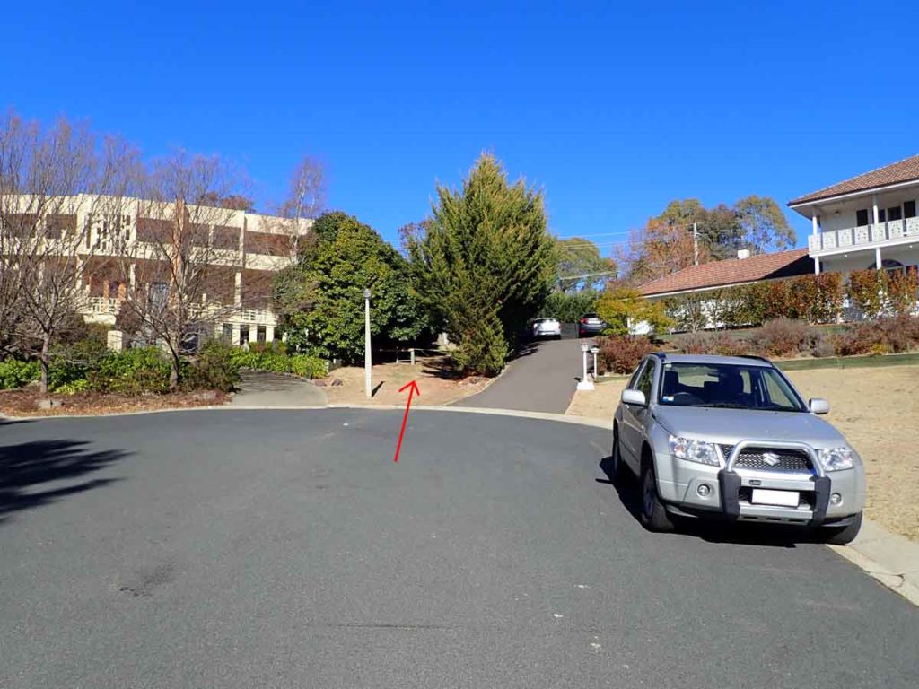
Lincoln Place Chapman (ACT)
Finish Location
Lincoln Place Chapman (ACT)
Mount Arawang Summit Walk Review
This is another of Canberra’s small summits that forms part of the Hills, Ridges, and Buffer zones that makes Canberra the garden city that it is. The Mount Arawang Summit Walk is part of the Cooleman Ridge Nature Reserve and can be combined with the Cooleman Ridge Nature Trail to create a longer walk. Having said that you will be walking mostly on management trail and my recommendation is to summit Mt Arawang as a short standalone walk. On one side you have views into the suburbs of the Woden Valley and down into Tuggernong Valley to the south, and on the other side of the ridge views into the nearby Brindablla Ranges and wilderness areas. This is one of Canberra’s shortest hill walks and with the exception of Mount Painter one of the easiest walks around.
This walk can be started from a couple of different locations but the easiest is to start from Lincoln Place in Chapman. Park your car along the street and then walk up towards the top of the place and you will come to a very obvious laneway that takes you past the row of houses up into the bushland behind. As you go past the houses you will come to a management road which you cross and then go a small bridge and onto a well worn trail.
From here you will have a short walk and before you hit the upper management road there is a turn off to the left that takes you up to the summit. This trail is easy to follow and as you make you way up you will start getting views out over each side of the hill. As with most of Canberra’s hills there is a Trig Station at the top that marks the high point. From the summit you have views out into the southern and central parts of the city and if you know what you are looking at to the hills on the northern parts of Canberra including Mt Ainslie, Mt Majura, Black Mountain as well as the central city areas. To the west of the summit you have views of the adjacent Brindabella ranges and on the day I did this walk there was snow visible on the outer hills. Spend a bit of time taking in the views before heading back down.
This walk is certainly not going to make the best walk list in Canberra but is well worth doing at least once to get a different perspective of the city.

Walk start
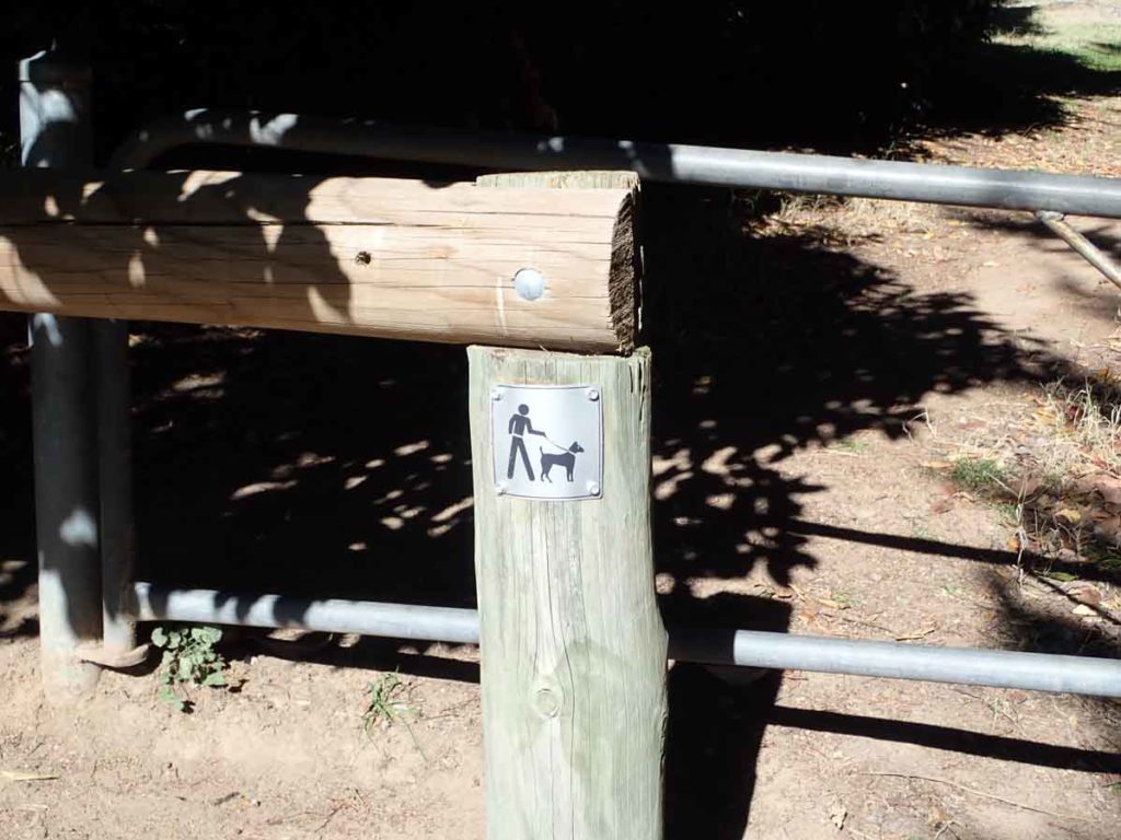
Dog on a leash on this walk
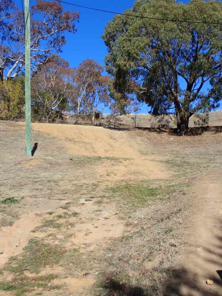
Head past the houses and over the management road
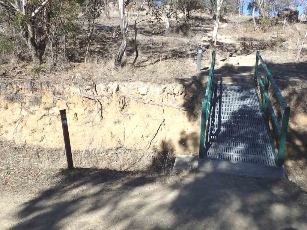
Cross the management road and then over the little bridge. Note the Canberra Centenary Trail marker on the left

The-path-is-well-worn-and-easy-to-follow
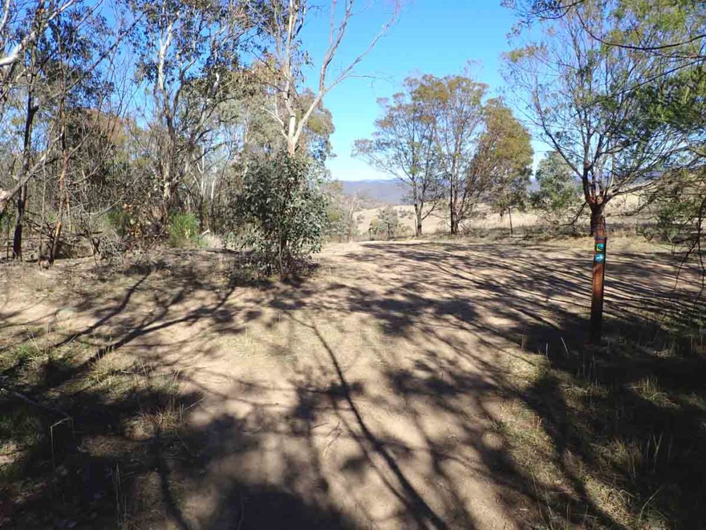
Turn left at the top just before the management road. The summit trail is obvious
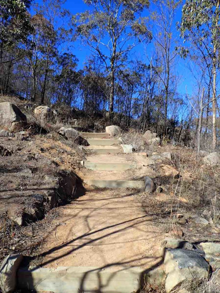
Follow the trail up the hill
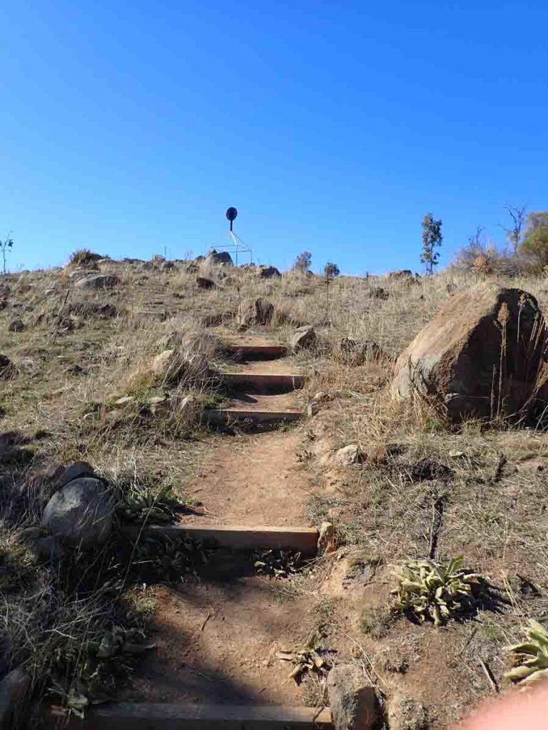
Summit in sight
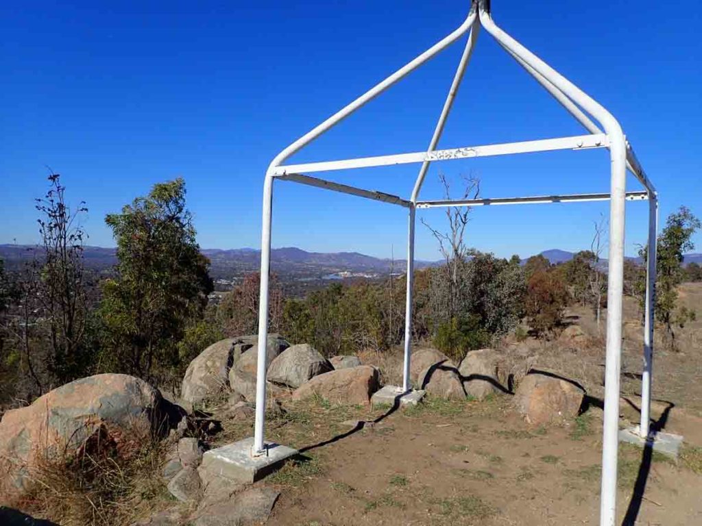
Summit Trig Station looking towards the Tuggeranong town centre
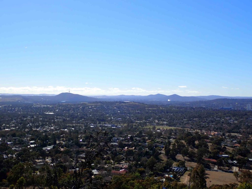
The view from the summit of Mt Arawang
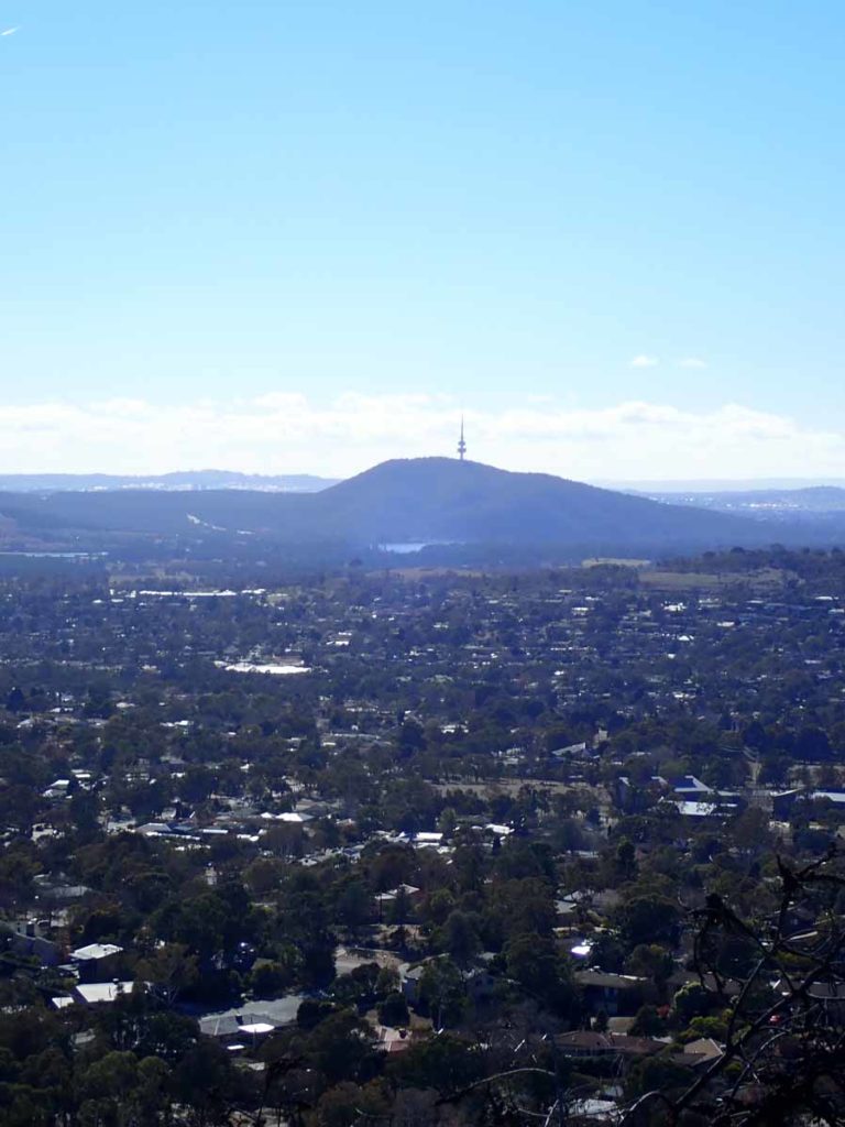
Black mountain close up
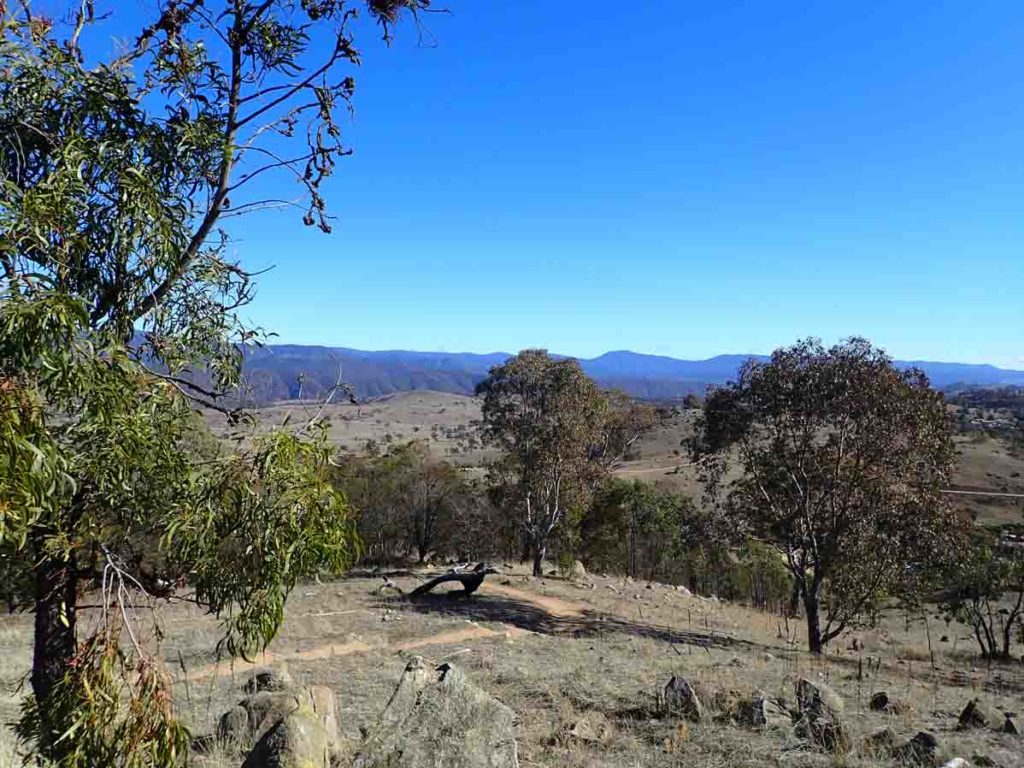
Views over farm land and on to the Brindabella rang in the background
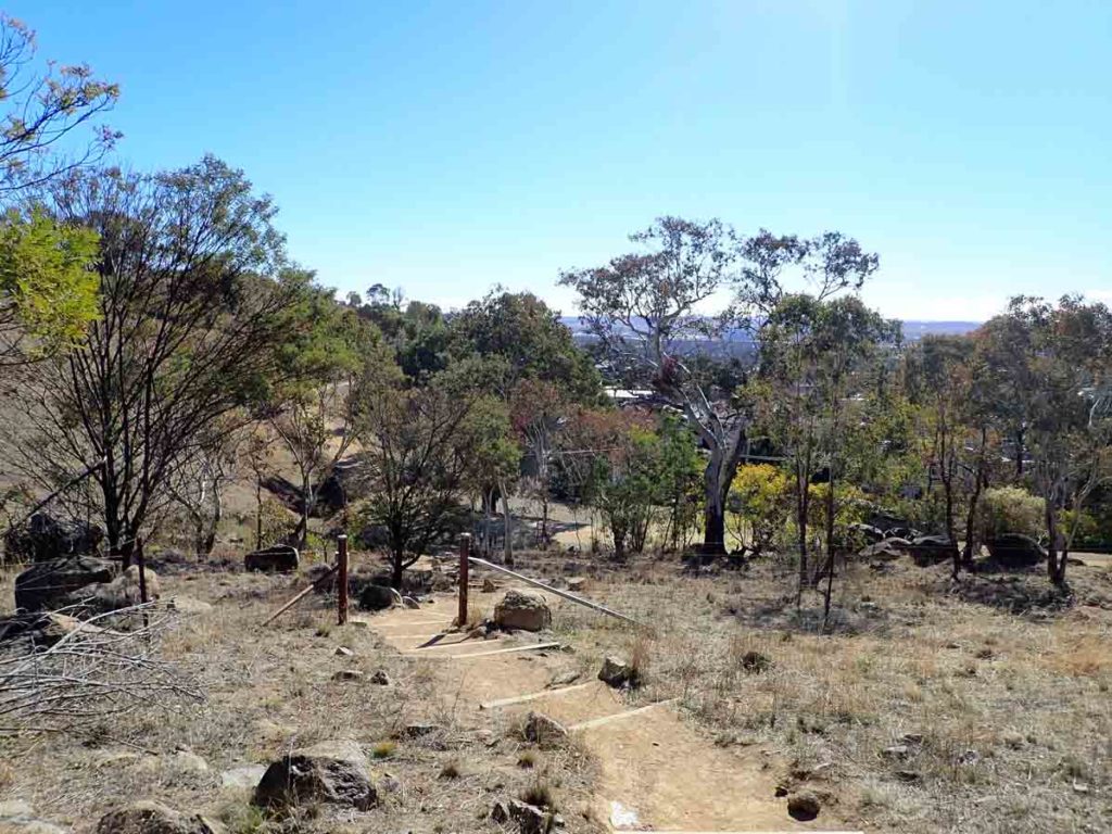
Heading back down
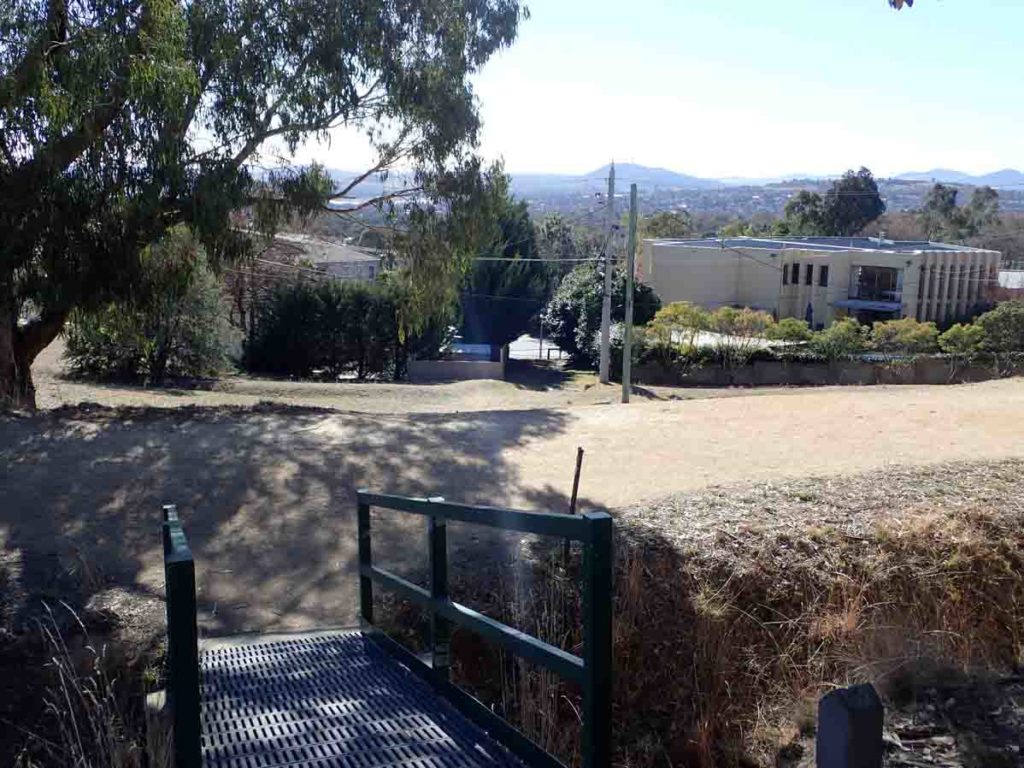
Heading back down. Cross the bridge, cross the management road, then go through the laneway
Getting There
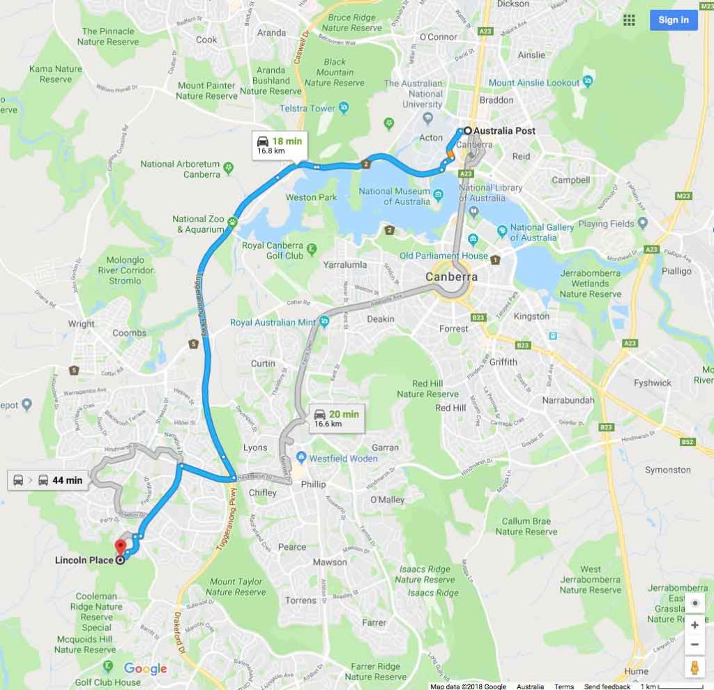
Google Map to the trail head for the Mount Arawang summit trail from the Canberra GPO which is about 17km:
- This walk is part of the Cooleman Ridge Nature Reserve and can also be accessed from Namatjira Drive

Parking along Lincoln Place in Chapman
Things to Know
- Phone: There is very good phone signal on this trail (Telstra)
- Water: You need to bring your own water
- Toilets: There are no toilets on this trail
- Trail: This walk is on a combination of dirt management road/trail and bitumen surface
- Dogs: Dogs are allowed but must be on a leash
- Camping: No camping allowed
- Other:
- Bring adequate shade (hat, long sleeves etc) in the hotter months
- No camping is allowed on this trail
- This trail is walkable year round
- The best place to start this walk is from the end of Lincoln Place in Chapman
Disclaimer
This walk was undertaken by the team from Australian Hiker