Camels Hump ACT (22-30km)
Tidbinbilla Nature Reserve
Nearest Town
Canberra
Starting Location
Tidbinbilla Nature Reserve main car park
Finish Location
Tidbinbilla Nature Reserve main car park
Best Time to Travel
Year round:
- However early spring and mid autumn is the peak time
- If you go in summer be advised that this walk is closed if there is a total fire ban and it will be very hot
- The walk is best done when there is no cloud or fog to take advantage of the views. Expect possible snow on the ground during winter
What's Special
Great views from the Camels Hump and this walk takes on a tour of a large area of Tidbinbilla Nature Reserve
Camels Hump (Long version) Trail Review
Please note that this is an extremely demanding walk and should only be done by fit hikers
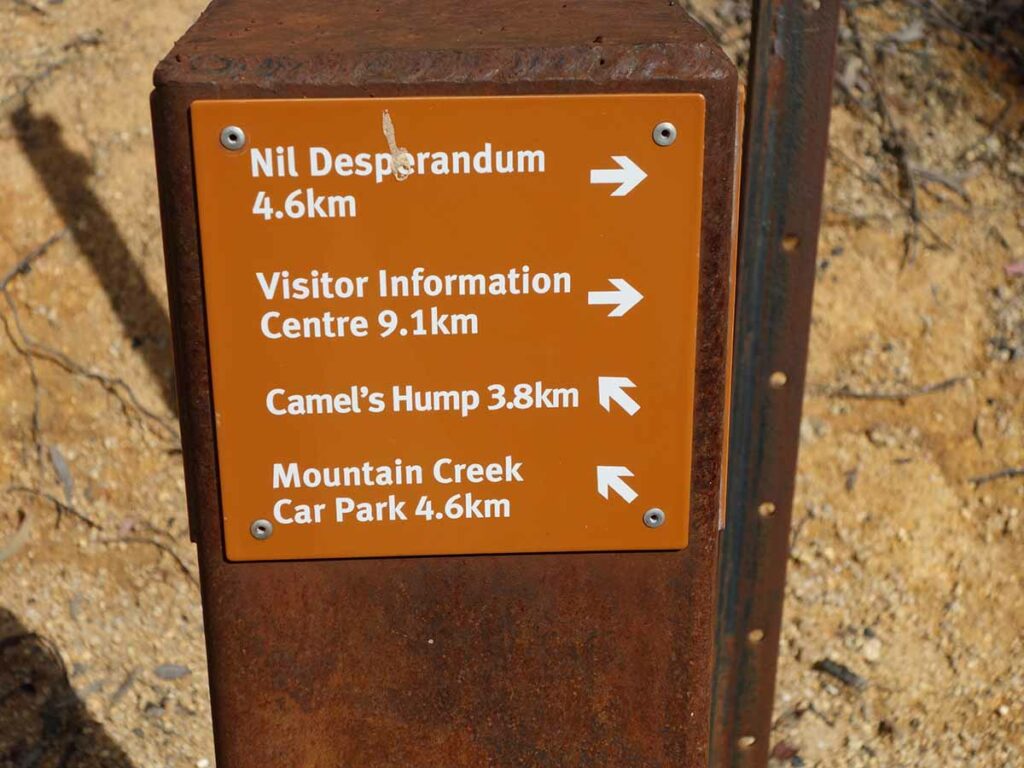
The Camels Hump walk, located in the Tidbinbilla Nature Reserve, can be done from two different starting points. Starting from the Mountain Creek car park this walk is 12.6 km hike. However if you feel like a walk with a difference and want something particularly challenging then do the longer version starting from the main car park at the Tidbinbilla Visitor Centre. This longer version will vary between 22-30 km depending on the route you choose. On the day we did this walk, we hiked the long way out and a shorter route back, which gave us a walk of 26.2 km and took us around 7.5 hours. Whether you do the long or the short version, either way this has become our ‘hardest’ (designated) ACT walk. The walk to the ‘hump’ itself is challenging requiring a bit of scrambling both on the way up and on the way down so if you are a bit unsteady on your feet, take your time or stop at the base of the hump.
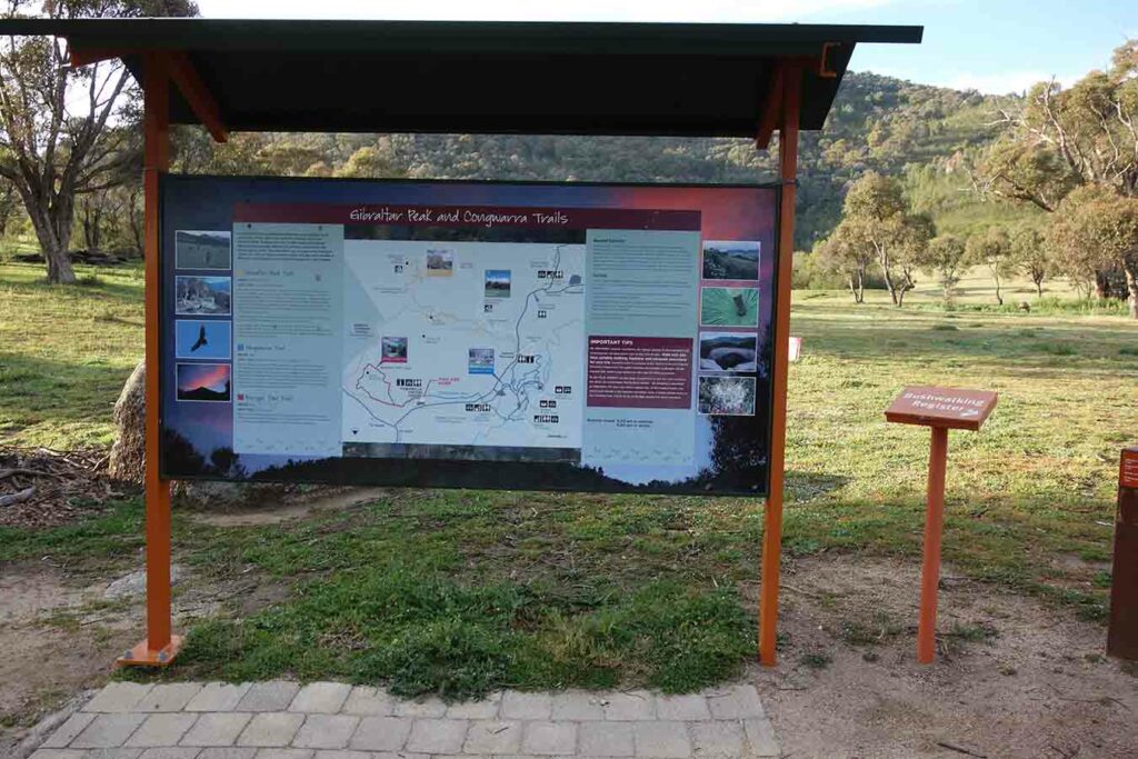
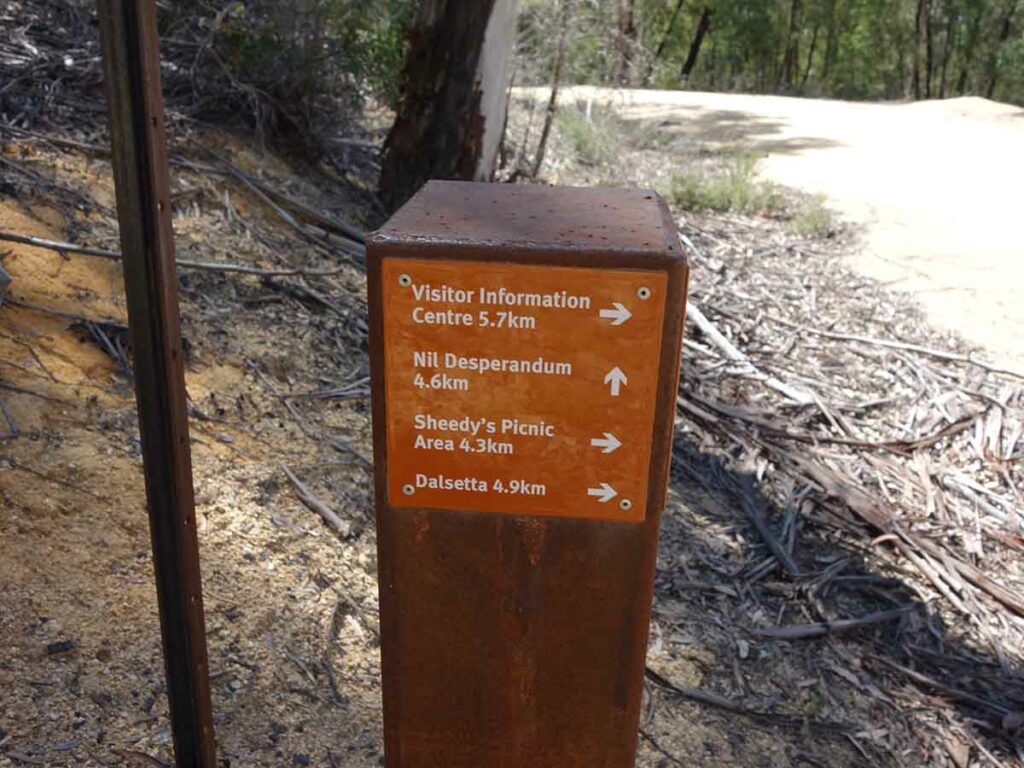
The Tidbinbilla walk guide is available online but is due for a revamp given that a new enclosure has been recently built and impacts on some of the internal roads. We followed the signage through to Webb’s Picnic Area and and picked up distance signage to the Camels Hump along the way. We followed the arrows on the way there and this added an additional 4.6 km to the trip which made for a very tough day but we didn’t mind as it took us into parts of the Reserve we had never seen before. Signage is reasonably good throughout but the walk guide doesn’t clearly identify the ‘roads’. There are toilet facilities at Webb’s you can access as you pass by means of a very short detour. By the time we connected into the shorter version of this walk which starts at the Mountain Creek car park we were starting to see lots (and lots) of hikers on the track. In fact in the first 30 minutes of cinching with the Mountain Creek walkers, we counted around 18 hikers consisting of all ages doing this walk.
The walk up to the hump is the most physically demanding. If you have a fear of heights and don’t feel like doing a mountain goat impersonation you may not want to do the summit as the trail is narrow, overgrown and requires scrambling over rocks. There are a number of routes people have taken to reach the summit so take it slowly and ensure you don’t go off track as some of the options are very difficult. The trip up and back down provides some great view and in fact the view at the summit is a bit treed-in so once you have reached the summit and had a short rest, turn back around and park yourself at one of the stop offs along the way down. Both times we have done this walk we have stopped to record some video at exactly the same location which provides some excellent views down into the valley at the back of the hump as well into the Tidbinbilla valley below. Continue descending taking care to place your feet carefully and hang onto the smaller trees as you descend.
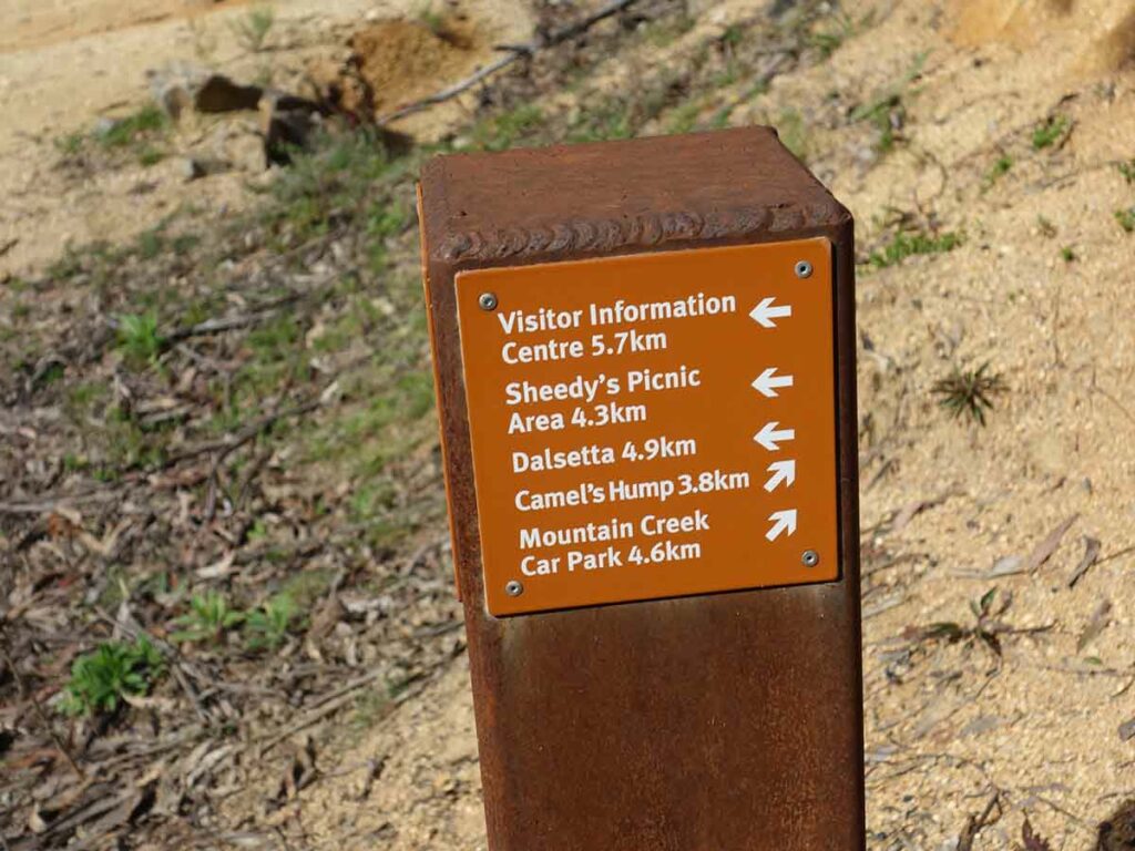
In making your way back to the visitor centre you have a couple of choices. Which way you go is up to you but we strongly suggest you head back on ‘Spur 2 track’ as this will shorten you return trip quite noticeably.
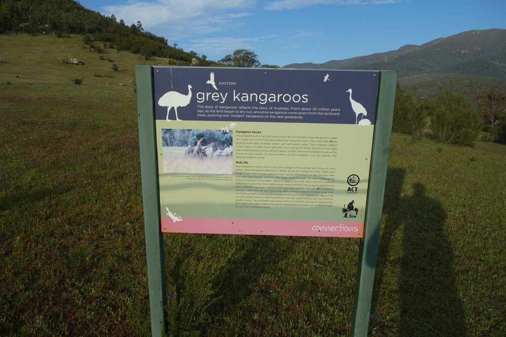
Tidbinbilla is well known for its animal life and on the day we did this walk we came across emus, kangaroos, and black cockatoos. You will also encounter snakes in the park during the warmer weather.
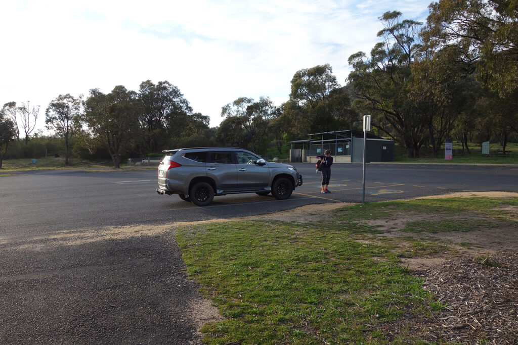
If you are doing this walk you should start early at around 7:30 am which is when the reserve opens. Depending on the route you take, the average hiker should allow around 8 hours for the return journey. In addition, to letting you take in the cooler part of the day it gets you back to the car park well before the reserve closes at 6:00 pm. Don’t forget to sign in and out at the trail register which is located just to the lefthand side of the park information sign.
Tidbinbilla trailhead showing trail register
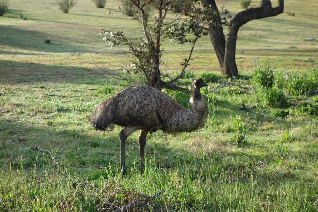
Emu
Information signage
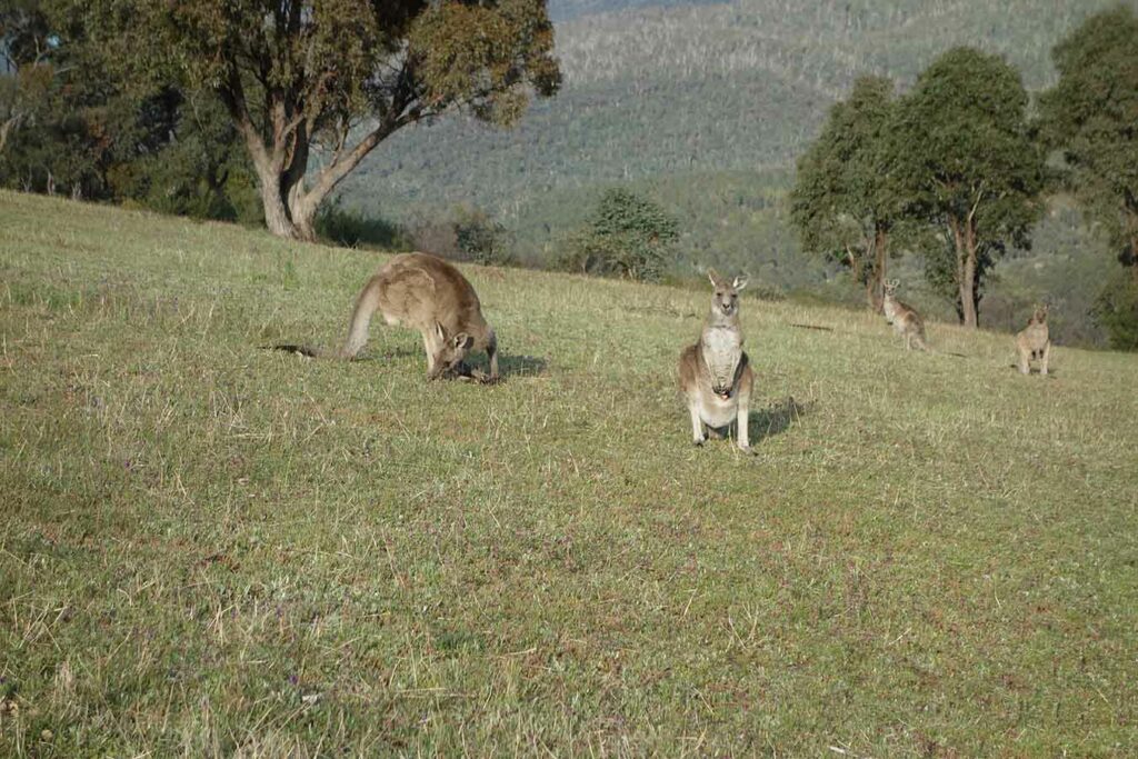
Some of the many kangaroos
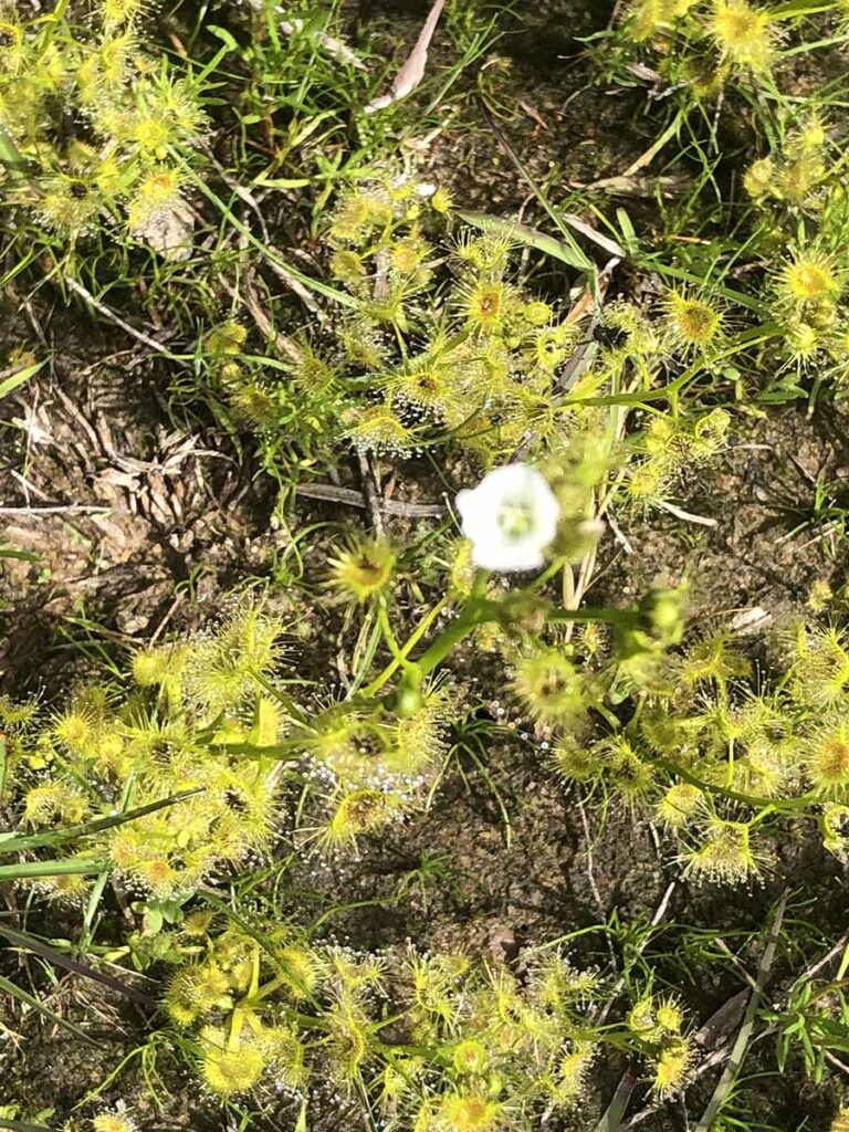
Sundew in one of the wetter areas
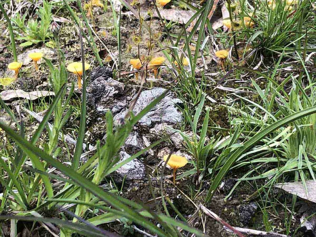
Fungi
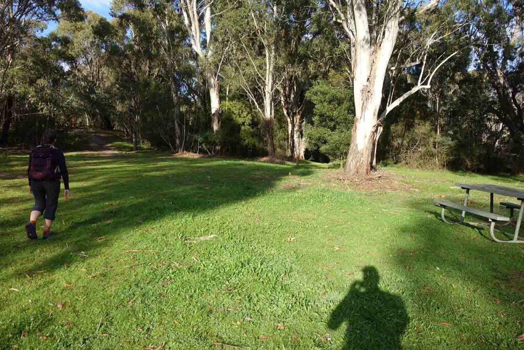
First stop Webb’s Picnic Area
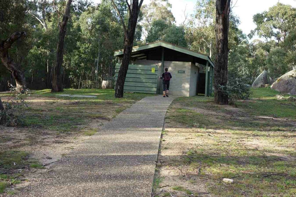
Toilet facilities near Webb’s
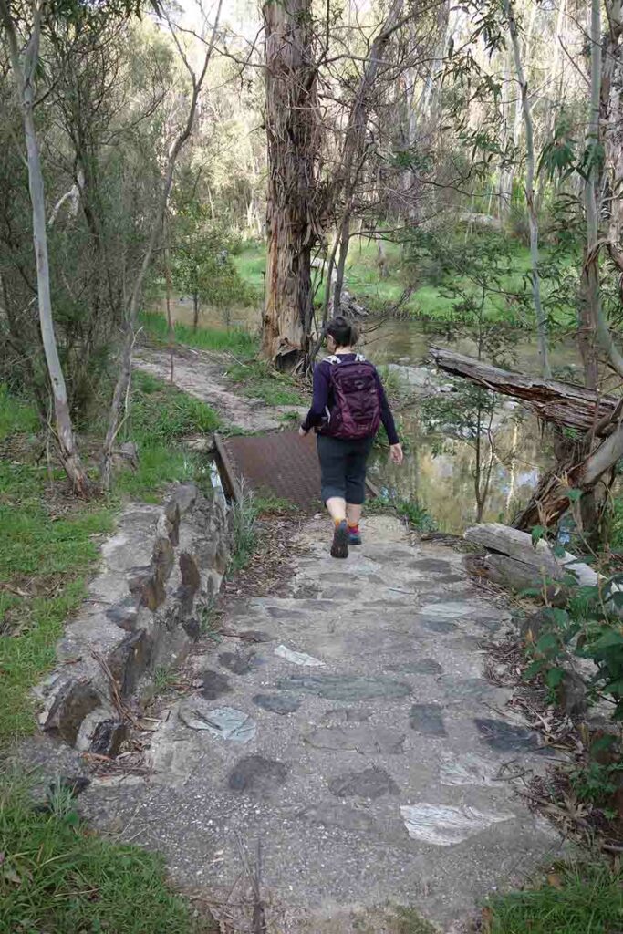
Small bridge near the creek
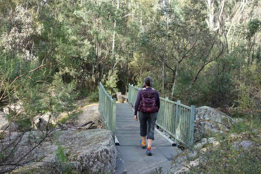
Crossing the water
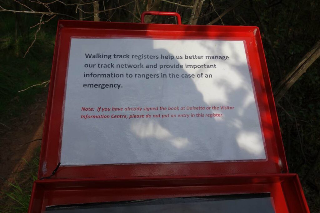
Second trail register just past Webb’s Picnic Area. You don’t need to sign in here if you have already signed in at the main car park
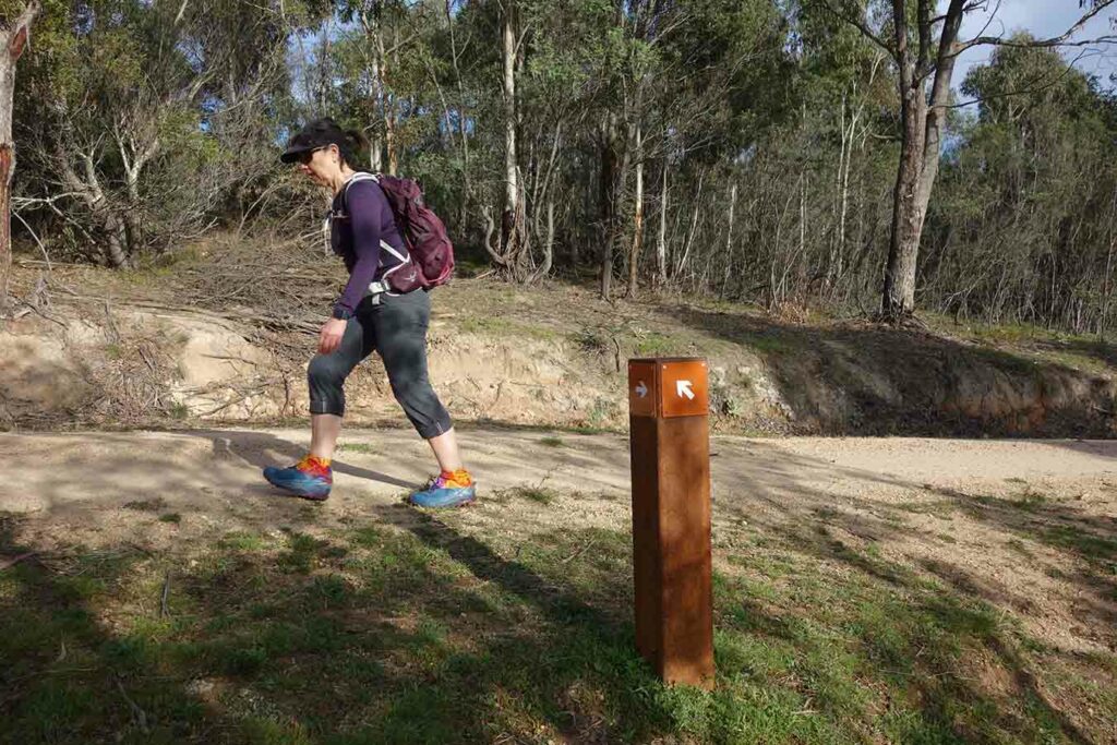
Follow the arrows
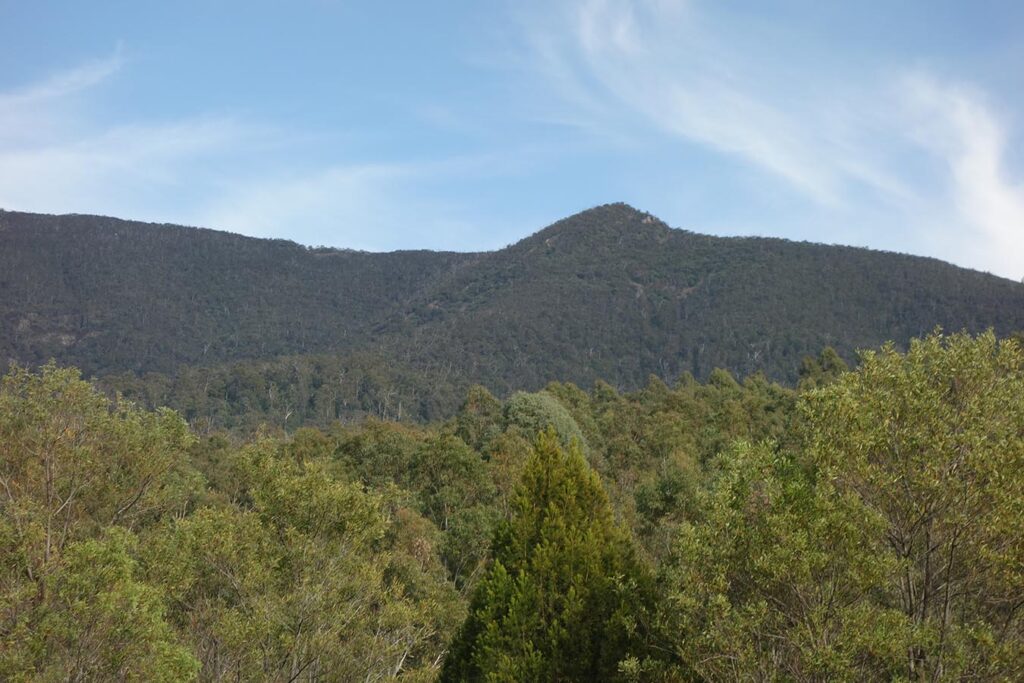
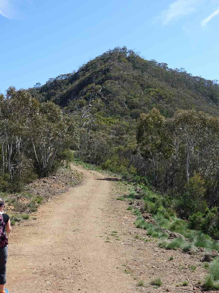
The Hump is visible on much of this walk
Choice 1 – the way we headed to the Camels Hump
Choice 2 – the route we took back to the visitor centre
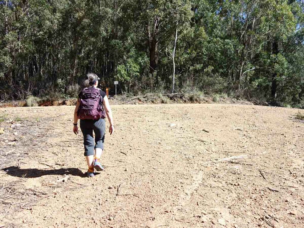
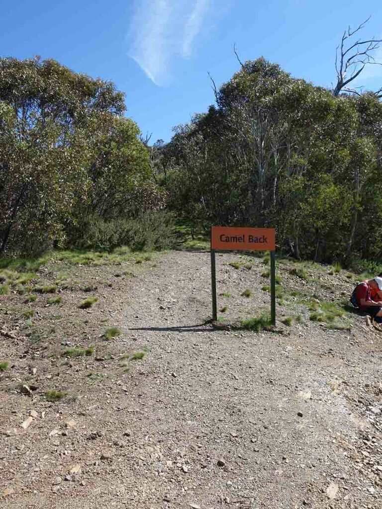
Joining the short track which is where most people start from on this walk
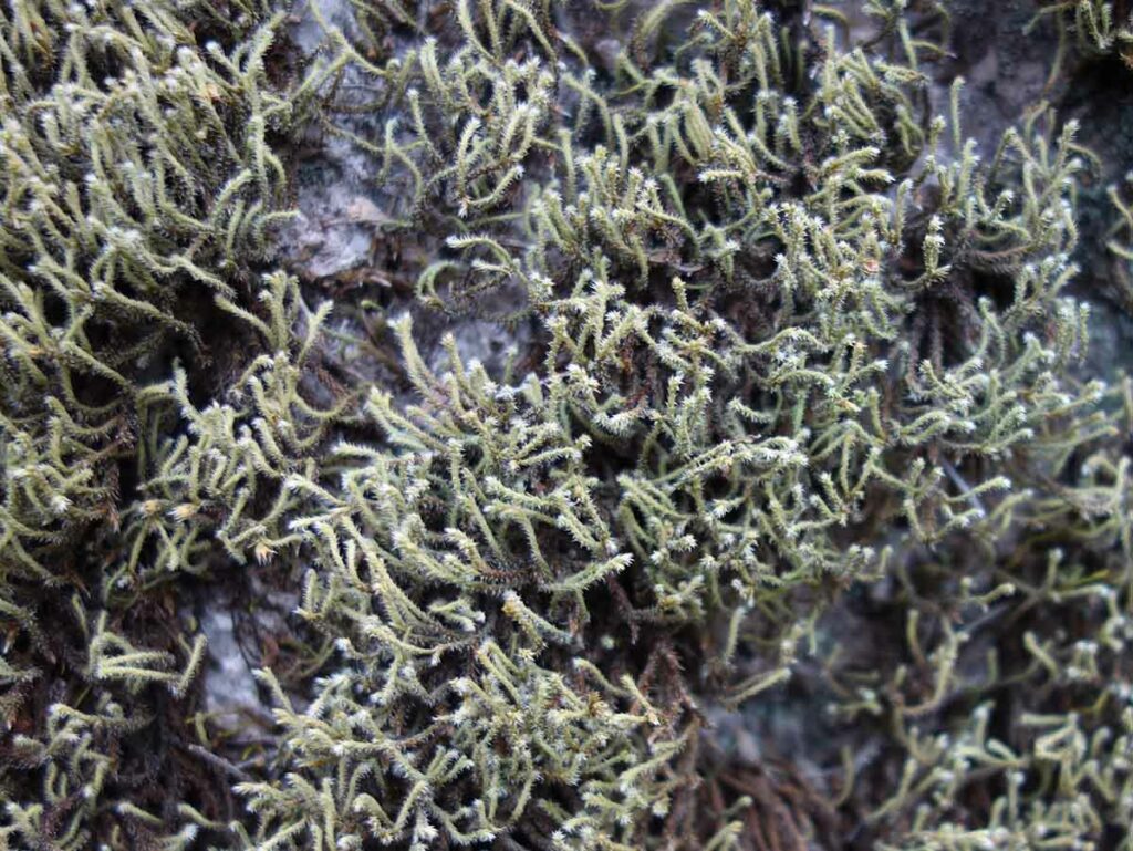
Lichen in one of the shadier areas
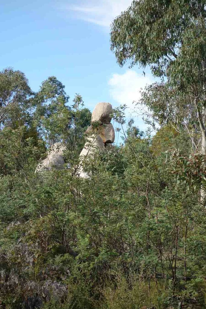
Rock formation
Approaching the Hump
Start of the Hump ascent
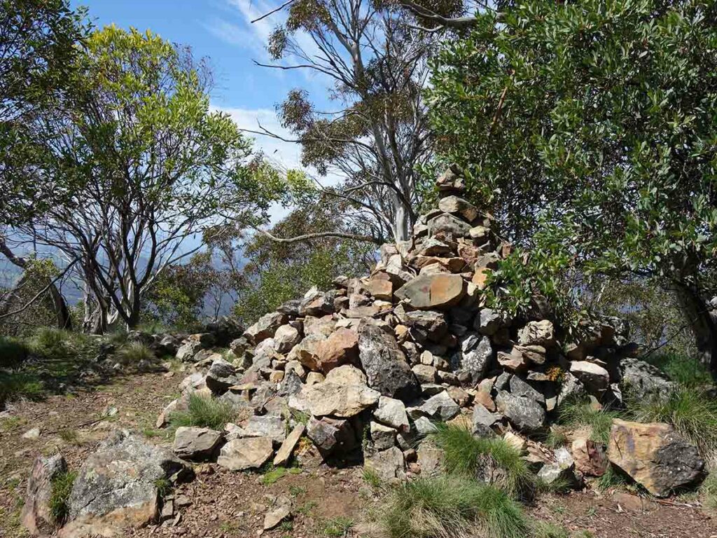
The summit of Camels Hump. I’m not a fan of rock cairns preferring instead to leave the environment as I find it – this one has grown since our last visit
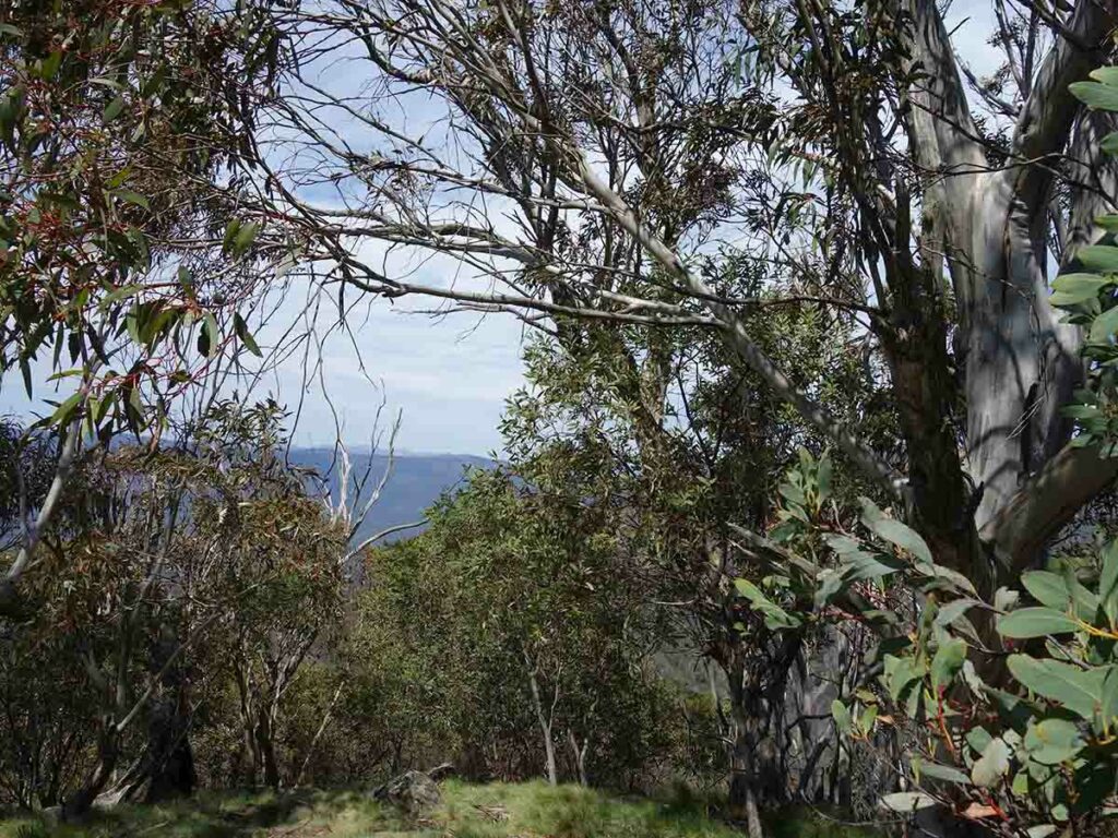
Views from the summit are limited due to the tree growth
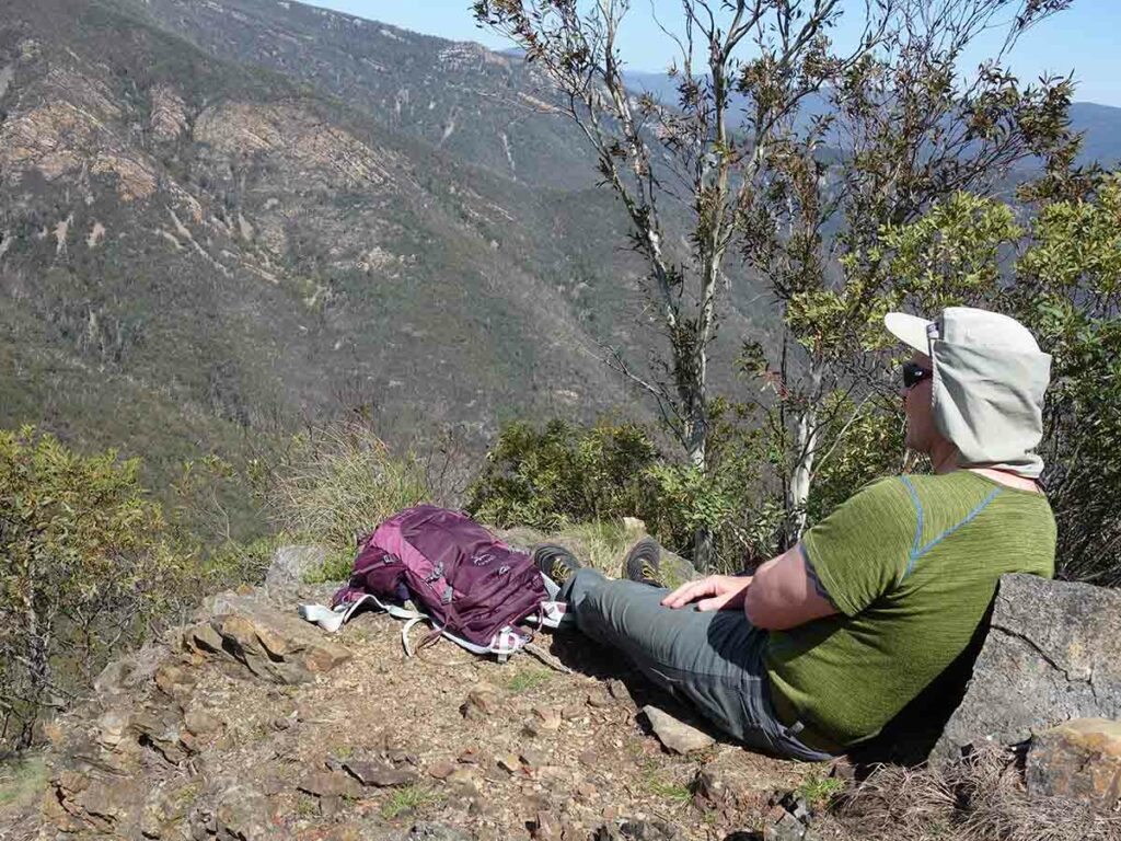
The best views are one the way down. We stop at this one location each time we do this walk to take a break
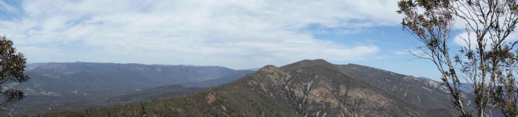
Panorama view from the lower lookout. The lower lookout is about 50-60 metres from the summit and has great views

Heading down off the Hump
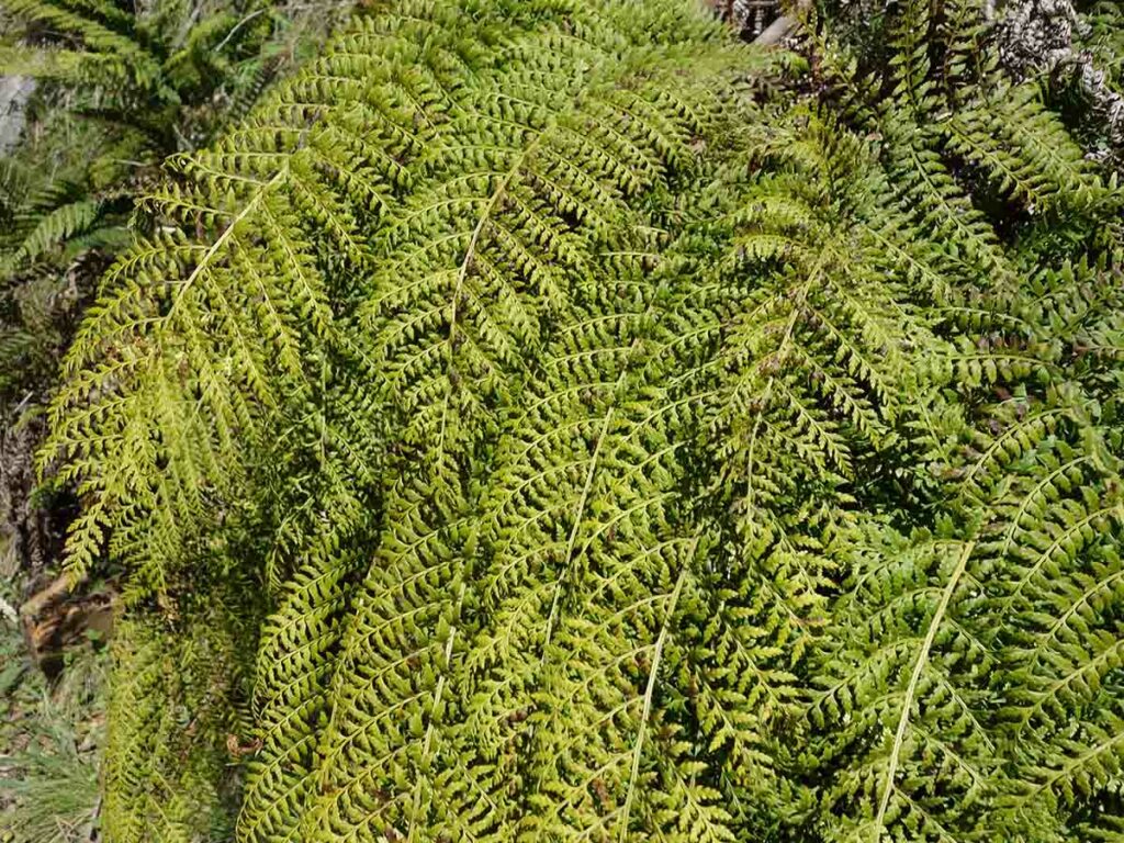
Green and lush in the shade
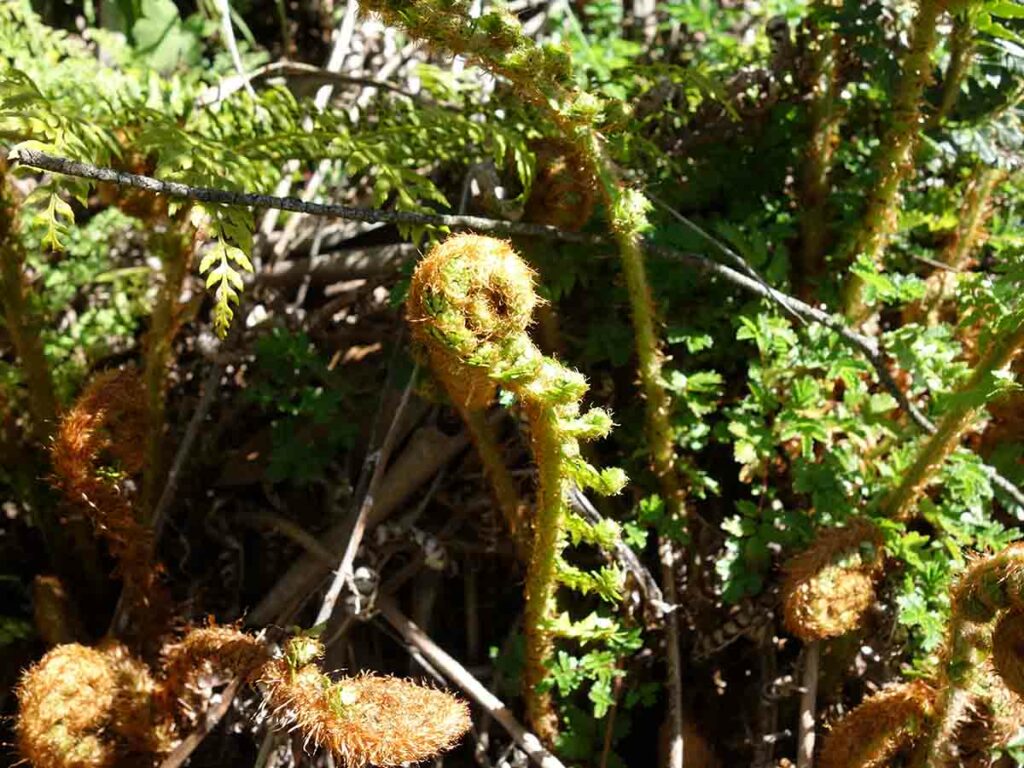
All coiled up
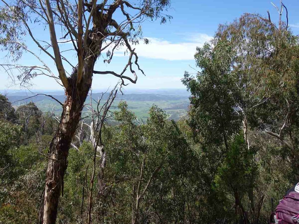
Views into the valley below
Shorter route on the way back
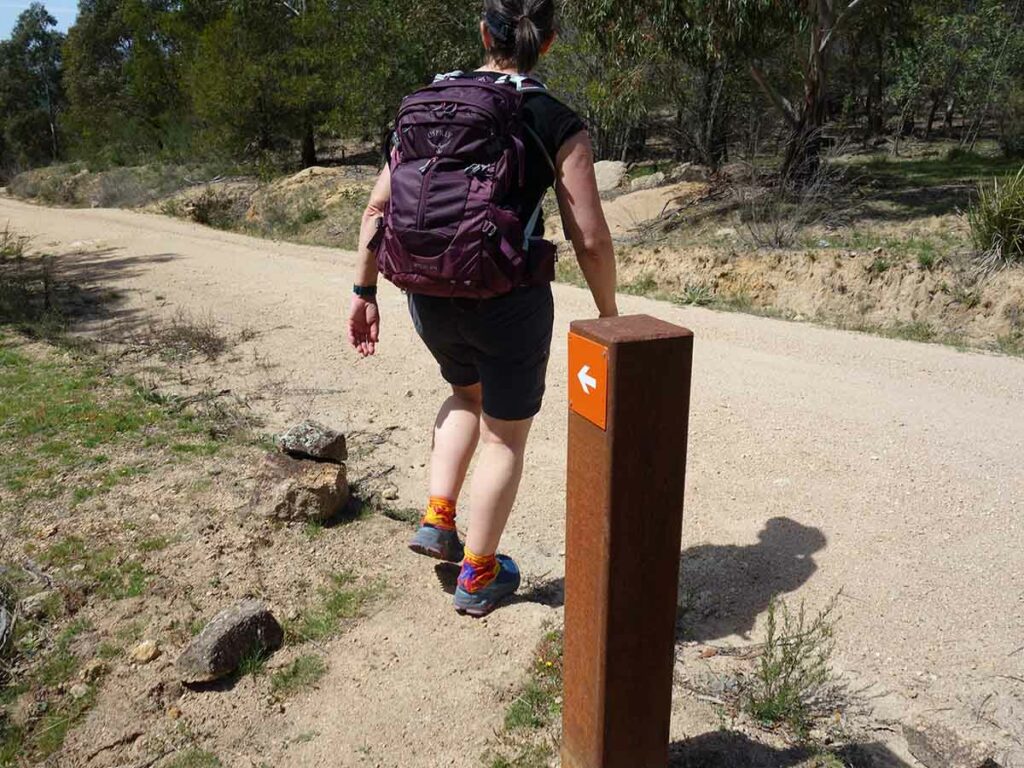
Follow the markers home
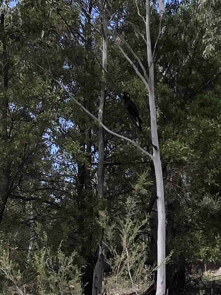
Black Cockatoo
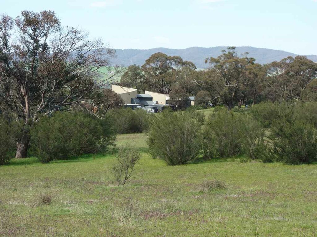
Almost home
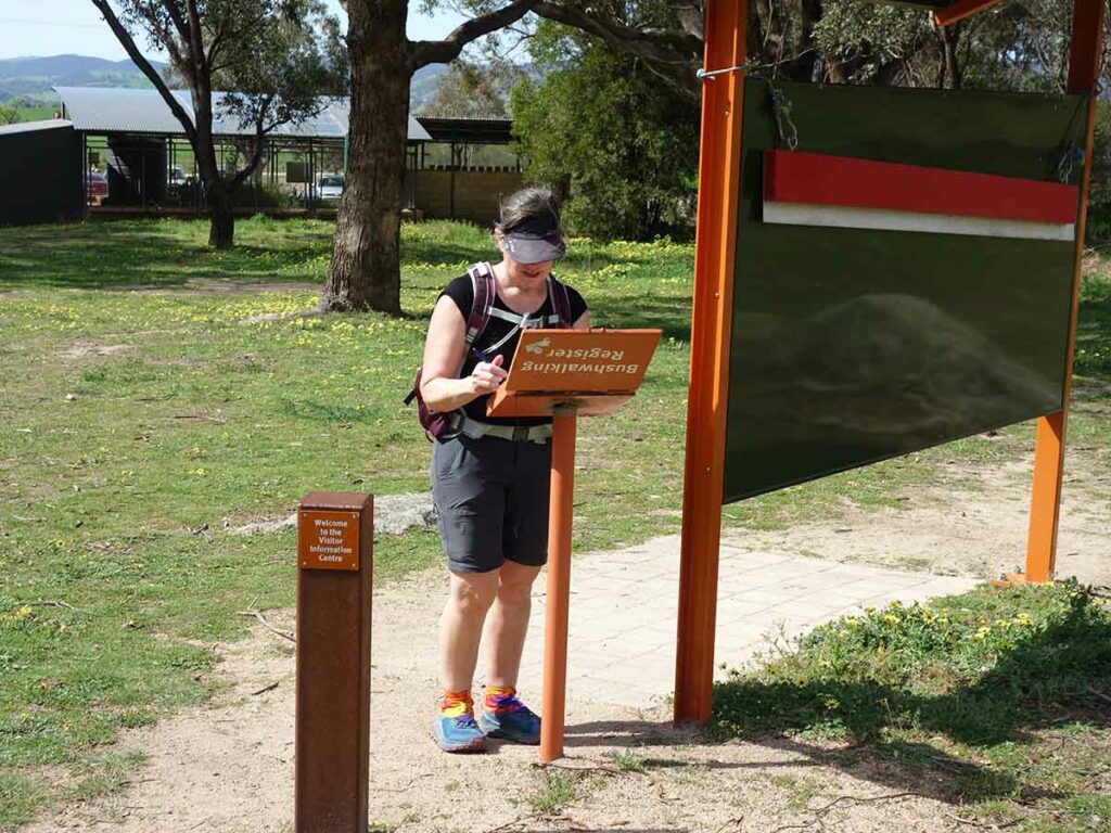
Signing out
This video is a compilation of images from the start to the finish of the walk to provide a visual overview of the journey
Getting There
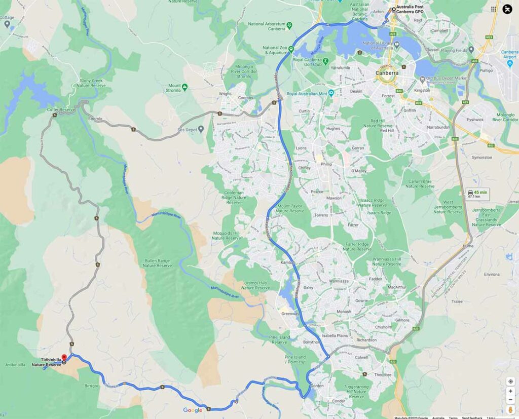
Image from Google Maps form the centre of Canberra to the trailhead
The trip from the centre of Canberra is approximately 47 km and around 45 minutes duration.
The Tidbinbilla Nature Reserve contains a series of walks that are closer to Canberra than those at nearby Namadgi National Park. Many of the Namadgi walks, particularly those that go into the Bimberi Wilderness Zone, are more remote requiring a higher level of skill but with it a higher degree of seclusion. The Tibinbilla walks are easier to access but you are unlikely to be alone on the trail.
Vehicle access into the reserve is free (18/1/2024)
If you have an annual pass you can enter the park via the boom gate and scan you pass from as early 7:30 am in the morning. You will need to be out by 6:00 pm at the latest (8:00 pm in summer).
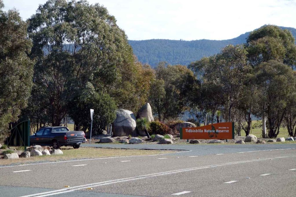
Entrance to Tidbinbilla Nature Reserve
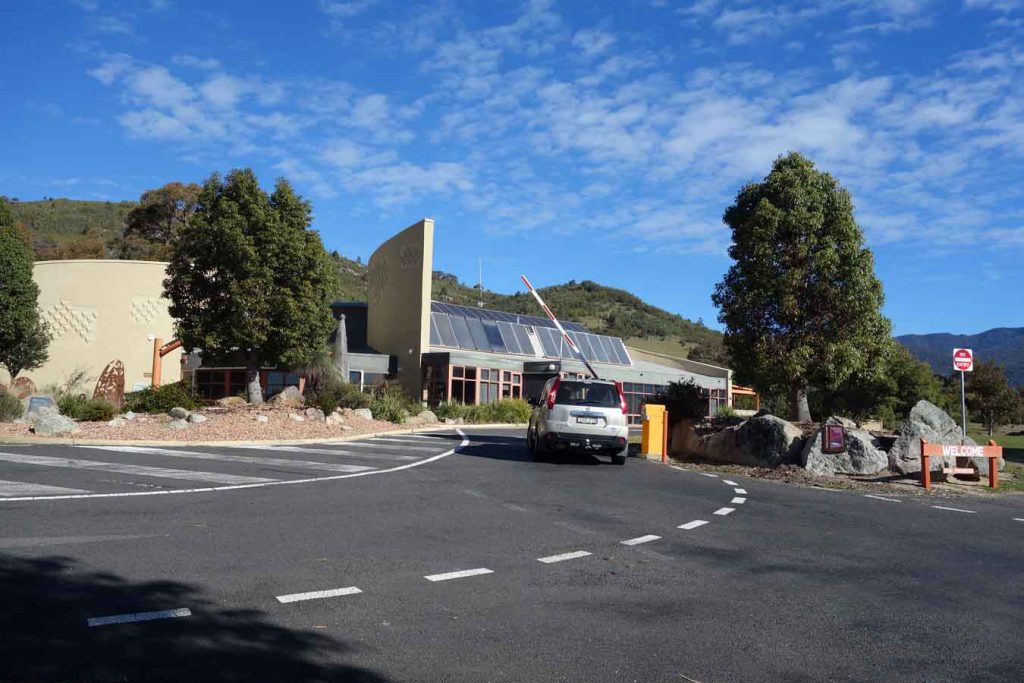
Tidbinbilla Visitor Centre and boom gate. If you have an annual pass you can just swipe your card to access without having to go to the visitor centre
Things to Know
- Phone: There is phone signal throughout the trail but not along all of the track (Telstra)
- Water: There is no water on this trail
- Toilets: The closet toilet is at the Webb’s Picnic Area which you pass on the way to the Camels Hump
- Trail: This trail consists of formed track and management road
- Dogs: No Dogs allowed
- Other:
- WARNING: Ascending the ‘hump’ requires you to be comfortable with very steep inclines and treacherous declines. Ascending/desecnding the ‘hump’ is not for the feint hearted
Disclaimer
This walk was undertaken by the team from Australian Hiker