Mount Coree Summit Walk NSW (5.6 km)
NSW
Nearest Town
The car park for this walk is at the Mount Coree Campground which is 60 km from the Canberra GPO
Best Time of the Year to Travel
Year round
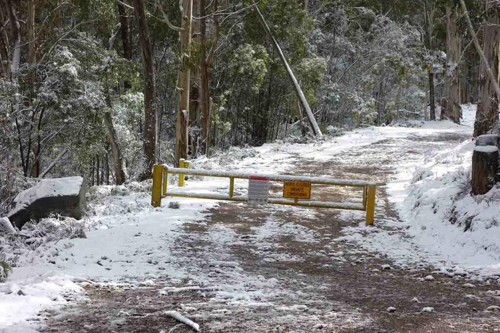
- Please note that in periods of high fire danger or heavy snow, the access roads in this area may be closed. Pay attention to the road condition signs on the way there
Starting Location
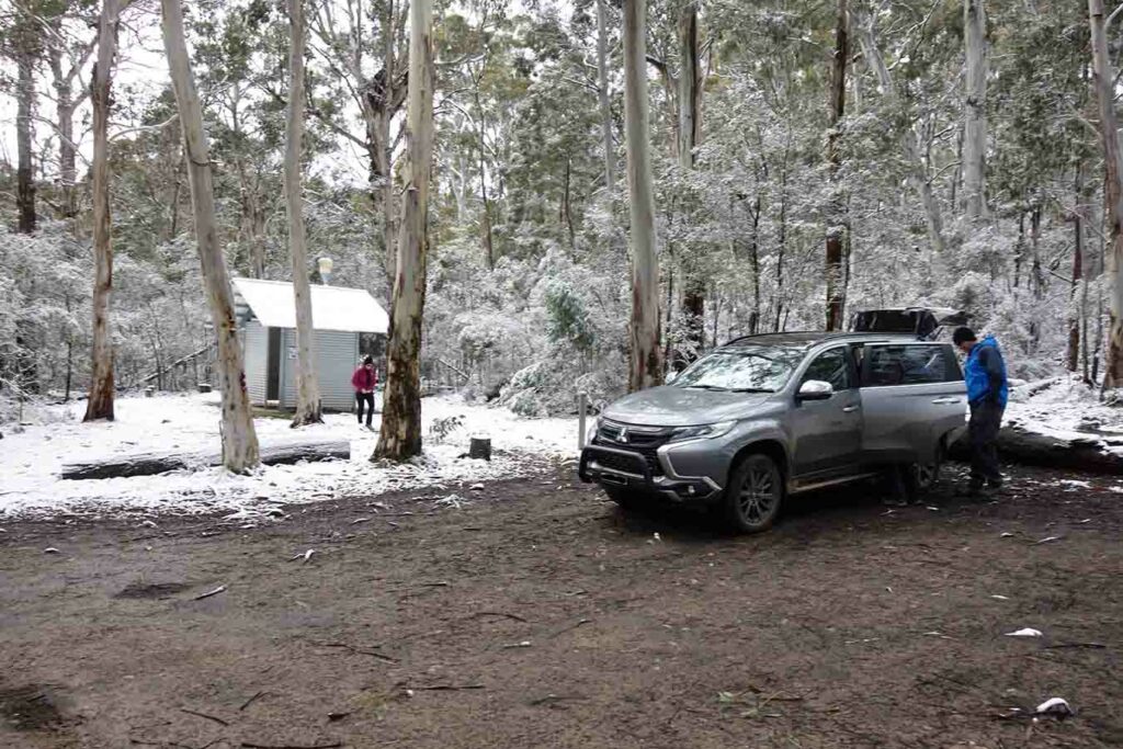
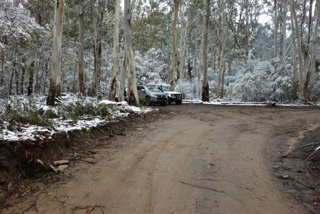
Trailhead at the Coree Campground with the toilet in the background
Finish Location
Trailhead at the Coree Campground
Mount Coree Summit Walk Review
One of our favourite hiking areas in the ACT region is the north western edge of the Territory. While most of the walks are concentrated in the ACT there are some, like the Mount Coree Summit Walk, that are located just over the border in NSW in the Brindabella National Park. As a destination, the Mount Coree summit is a rarity in the region given you can drive right to the summit.
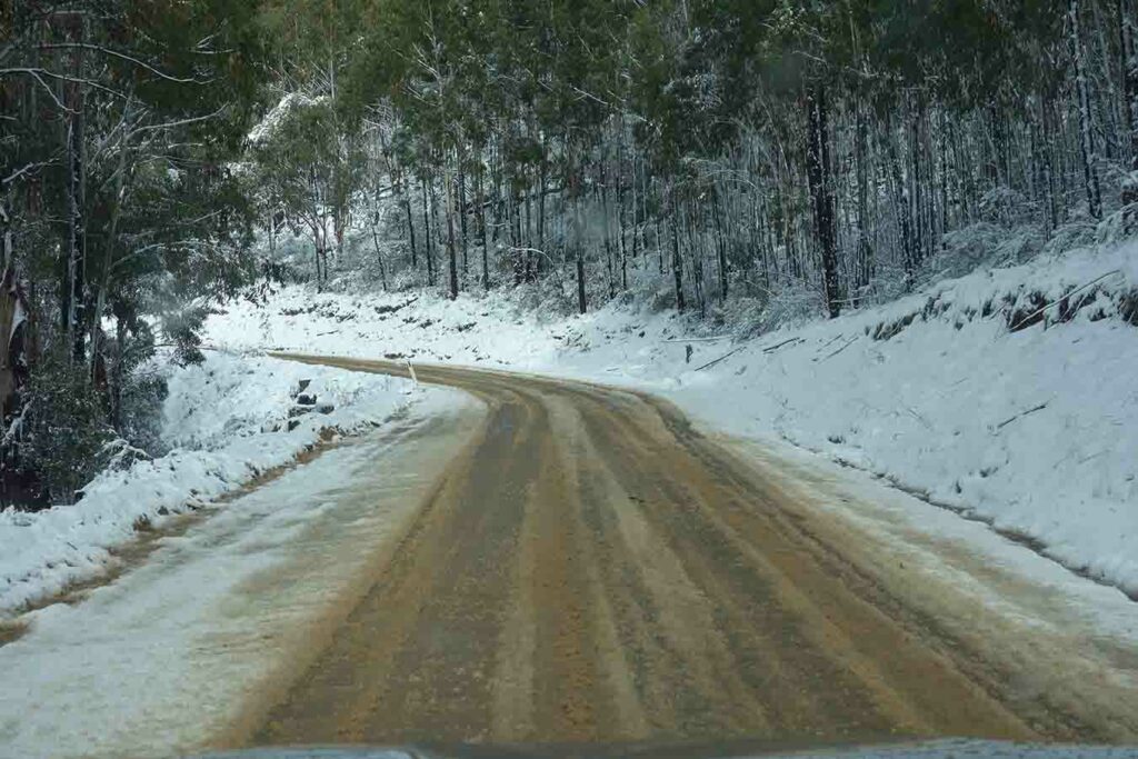
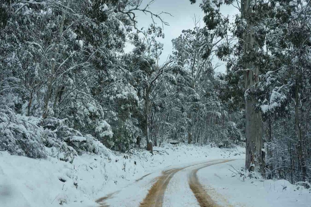
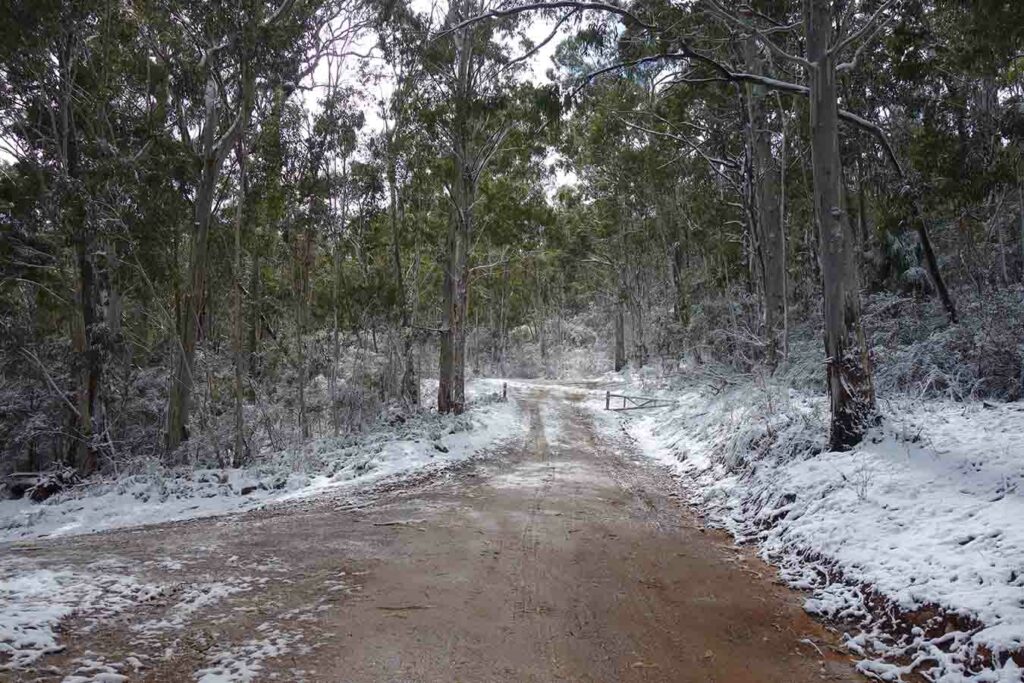
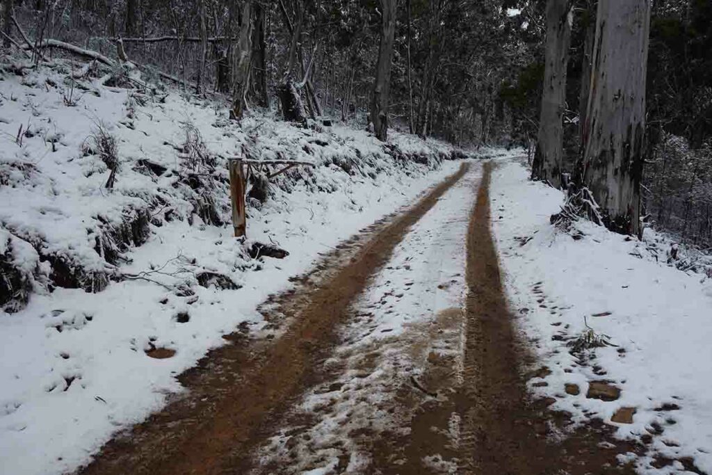
This walk is by no means physically challenging however the difficulty lies in getting to the trailhead. This area of the park is squarely located within the Brindablla ranges and is prone to snow between late March through to mid October. If it has been snowing or raining the roads can become greasy and messy. While 2WD vehicles can access this area in dry conditions I would only do so with extreme care.
As you make your way to the campground you will pass by a ‘road conditions’ sign that will tell you whether the roads are open. On my second visit to this area and the day we did this summit walk, the adjacent Mount Franklin Road that takes you to a number of great walks in Namadgi National Park, was closed and as such every 4WD vehicle in the area was heading to the Mount Coree area. The road can be a bit narrow at times so take care when passing which may involve you either pulling off to the side or possibly reversing back to allow approaching vehicles through.
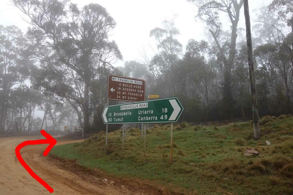
If you are using Google Maps as a guide, ignore any directions that take you onto Curries Road and instead follow Two Sticks Road to the signposted destination of the Coree Campground. The campground itself is reasonably remote and for me at least doesn’t have that ‘nice’ feeling to it but if your planning on exploring this area it’s a great choice and does have a single toilet. Water is limited and while you can access a local small dam at the site I would definitely filter the water before drinking.
The access road to the summit from the campground should only be accessed by 4WD vehicles. There are a number of gates on the summit track and if conditions are bad enough, the NSW Parks Service may close some or all of them meaning that the access to the summit can only be achieved by walking.
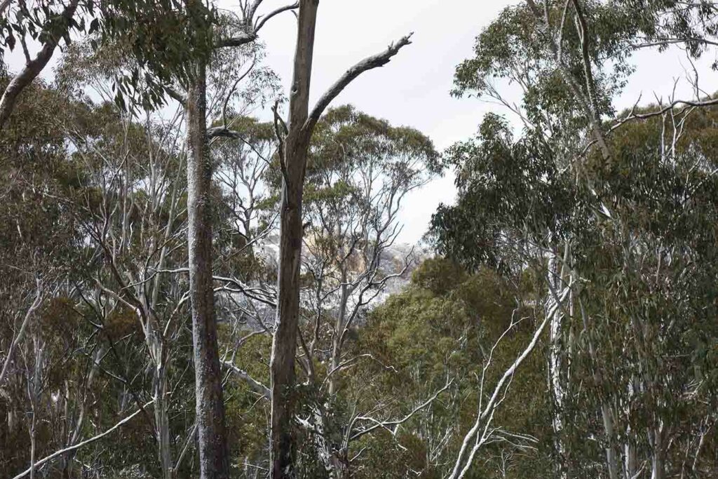
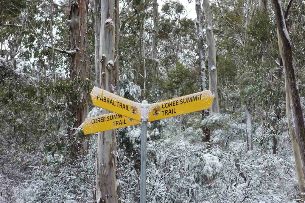
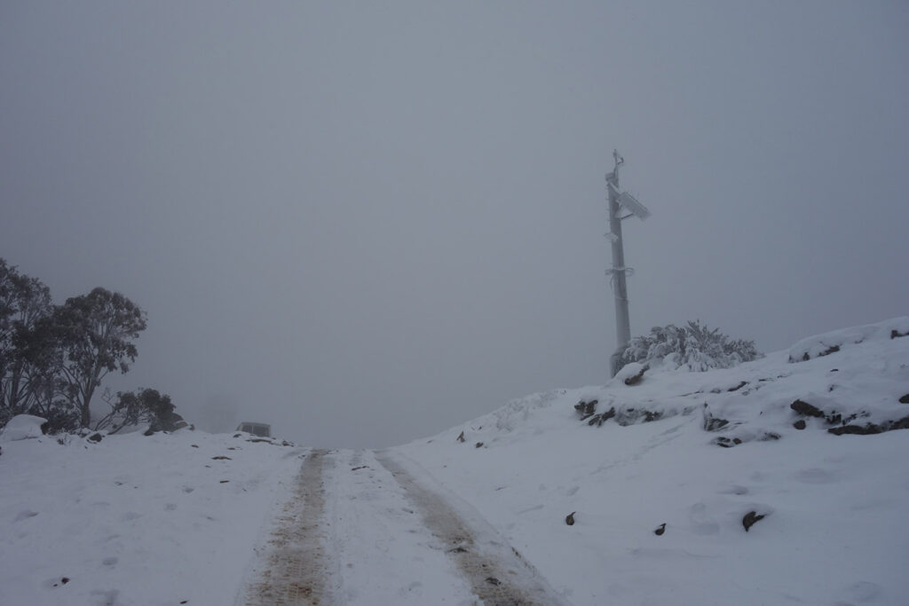
The walk to the summit is all on management road which is obvious and takes you downhill for a very short distance past the trailhead before starting the steady climb to the summit. There is limited signage but what is there makes it very clear on the direction you need to be heading. The road conditions progressively become poorer as you make your way to the summit. If you are walking, you may need to step to the side to allow vehicles to pass. I visited this site two weeks in a row and on the first trip I drove to the summit there was a water crossing that would have given you wet feet due to the heavy rains. On our second visit, the water levels had dropped and we managed to keep our feet dry the entire way. On your journey you will catch glimpses of the summit as you go and every so often you get views opening up to the valley below. In all honesty, this walk is about the destination but at 2.8 km each way it’s not onerous with the ascent being steady and not overly steep but there is enough interest to make it worthwhile.
Once you reach the summit there are views off into the adjacent ACT Namadgi National Park which is located on the eastern slopes of Mount Coree, and into Brindabella National Park on the other side. When we started this walk the sun was out and the sky was reasonably clear and even half way up we had views into Namadgi National Park at one point but by the time we reached the summit, after a 50 minute walk, the snow had set in and we had pretty restricted views. Given its location, if you are planning on doing this walk during the colder months come prepared clothing wise and with a vehicle that will cope with all conditions.
Wildlife is reasonably limited on this trail and while we did see wallaby tracks in the snow we didn’t see any animals on the day. One thing to keep in mind is that it’s not unusual to see wallabies and kangaroos when driving in this area and the wallabies in particular jump out in front of cars without notice. Even given the logistical requirements of this walk, its well worth doing at least once. If you aren’t a confident driver do it during the hotter months when the road conditions are likely to be drier.
Off we go. Short downhill section to the small dam
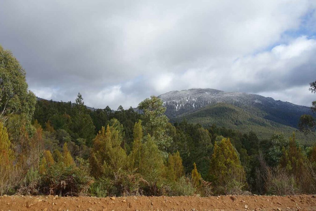
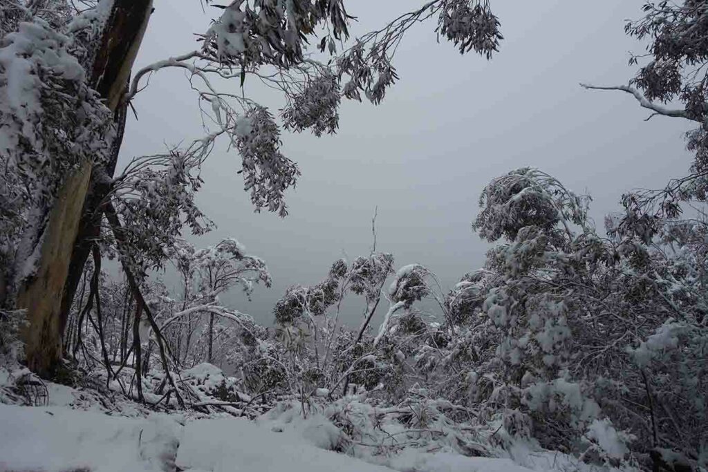
Snow on the nearby hills
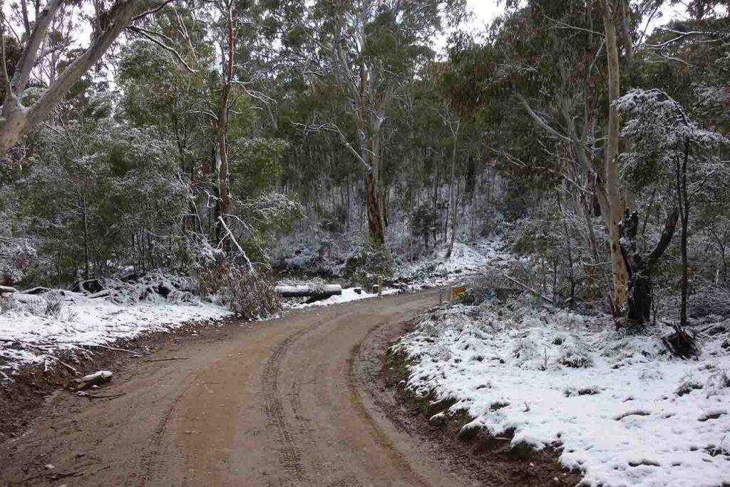
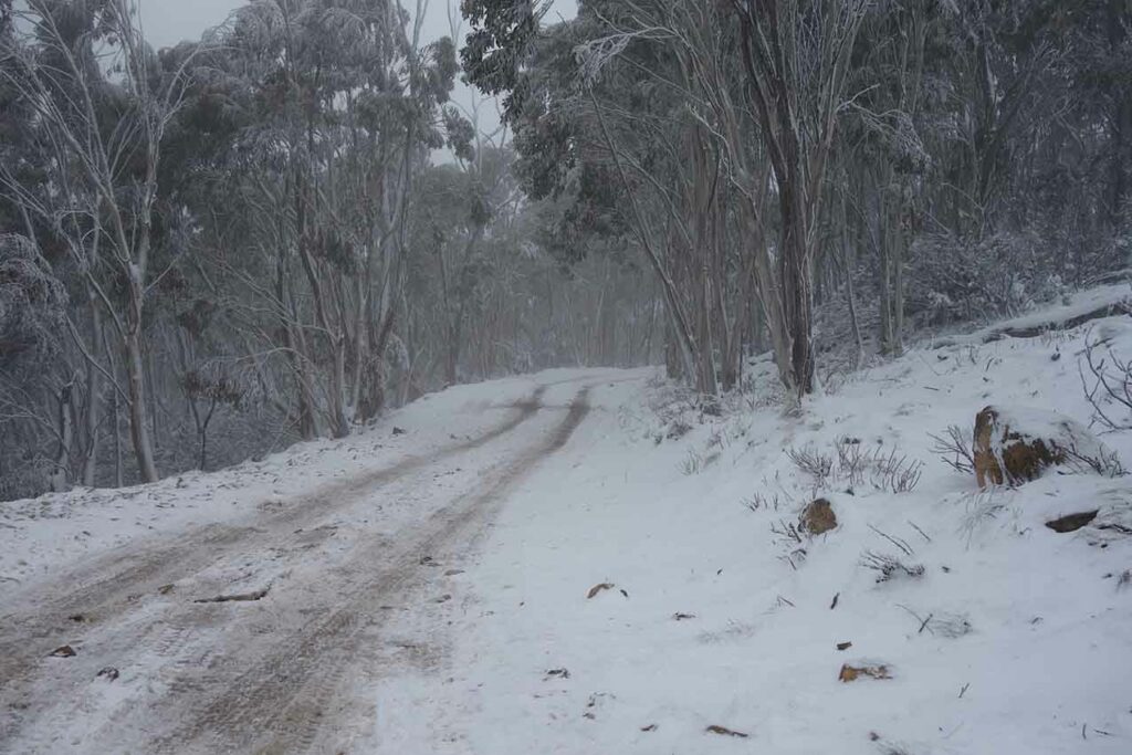
Approach road
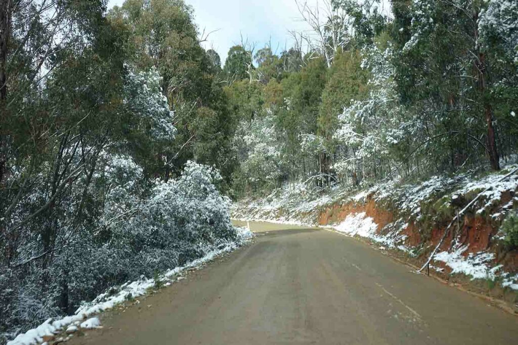
Getting snowier
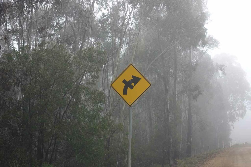
Keep an eye out for this sign as this indicates you are at Picadilly Circus
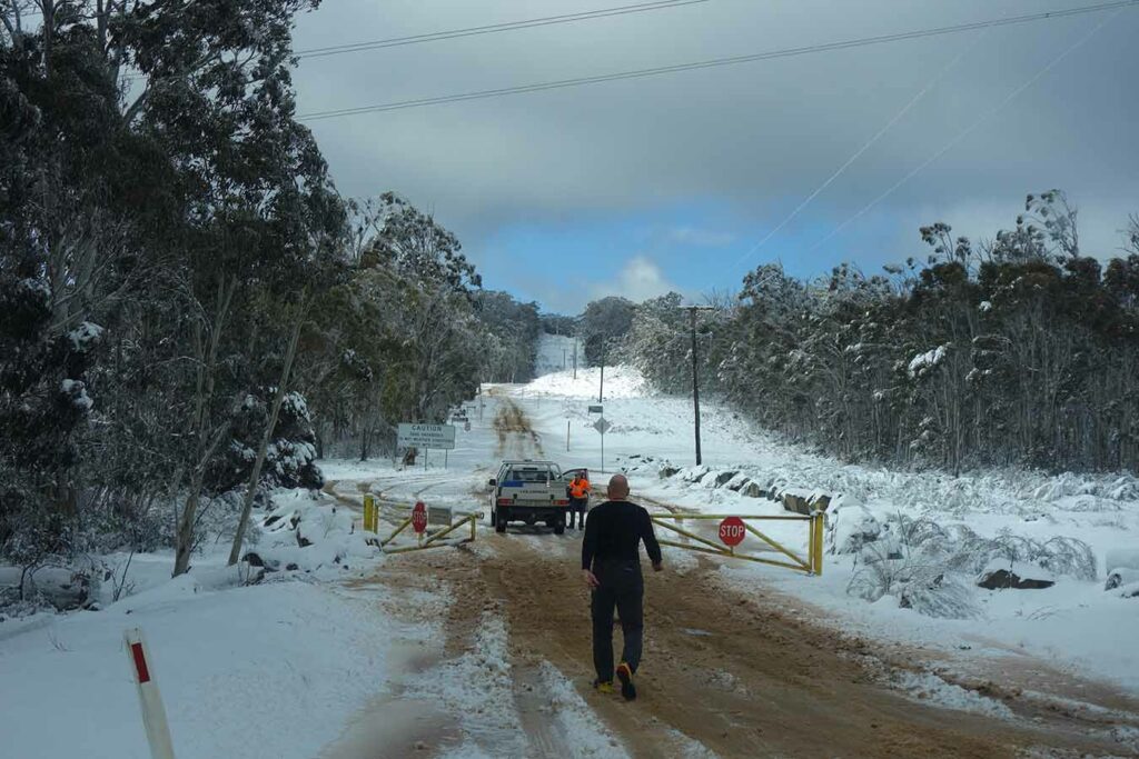
Ranger closing Mount Franklin Road which is the turn to the left
Turn up Two Sticks Road. This turn is almost a hairpin turn
Two Sticks Road

The odd small branch across the road. This road is narrow and often requires you to pull over to let oncoming cars through
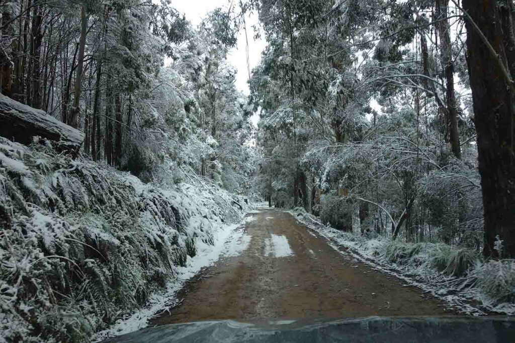
Road example
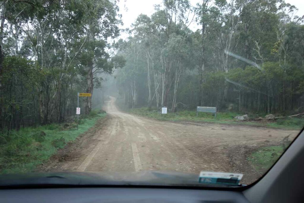
Go straight ahead staying on Two Sticks Road – don’t turn onto Curries Road
Coree car park with toilet in the background
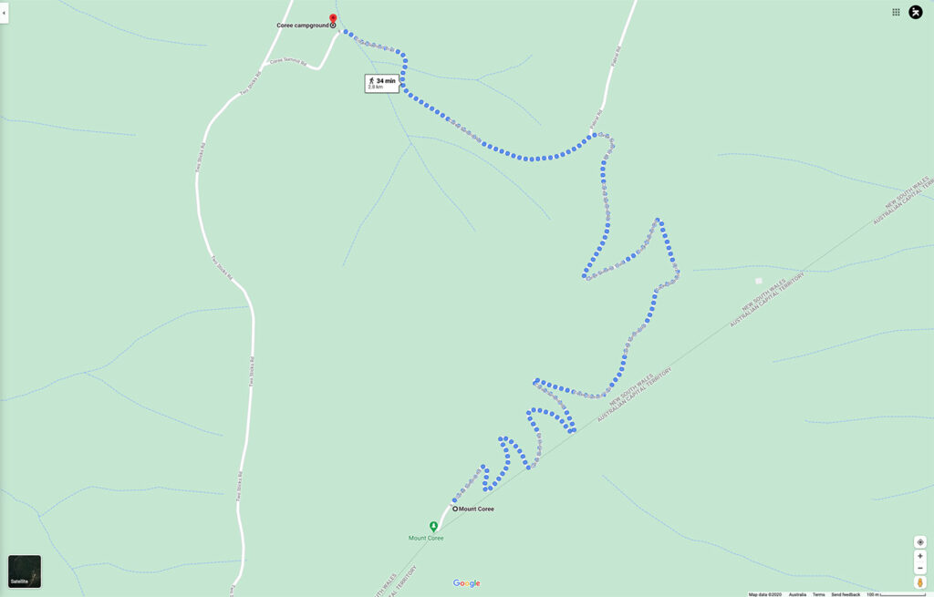
Trail from Google Maps for Mount Coree showing the zig zag up the hill
Short downhill to the small dam
The summit of Mount Coree through the trees
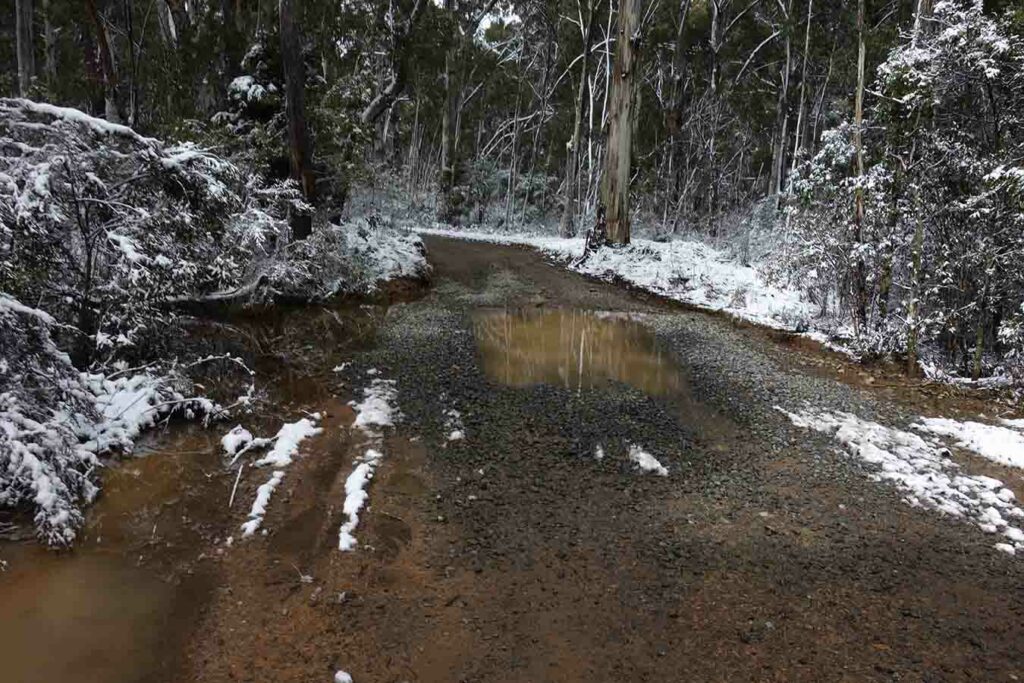
Water over the road. After heavy rains you are likely to get wet feet crossing here
And up we go
Follow the signs
Closed side road

Trail signage
Follow the signs
Trail gate which may be closed to vehicles
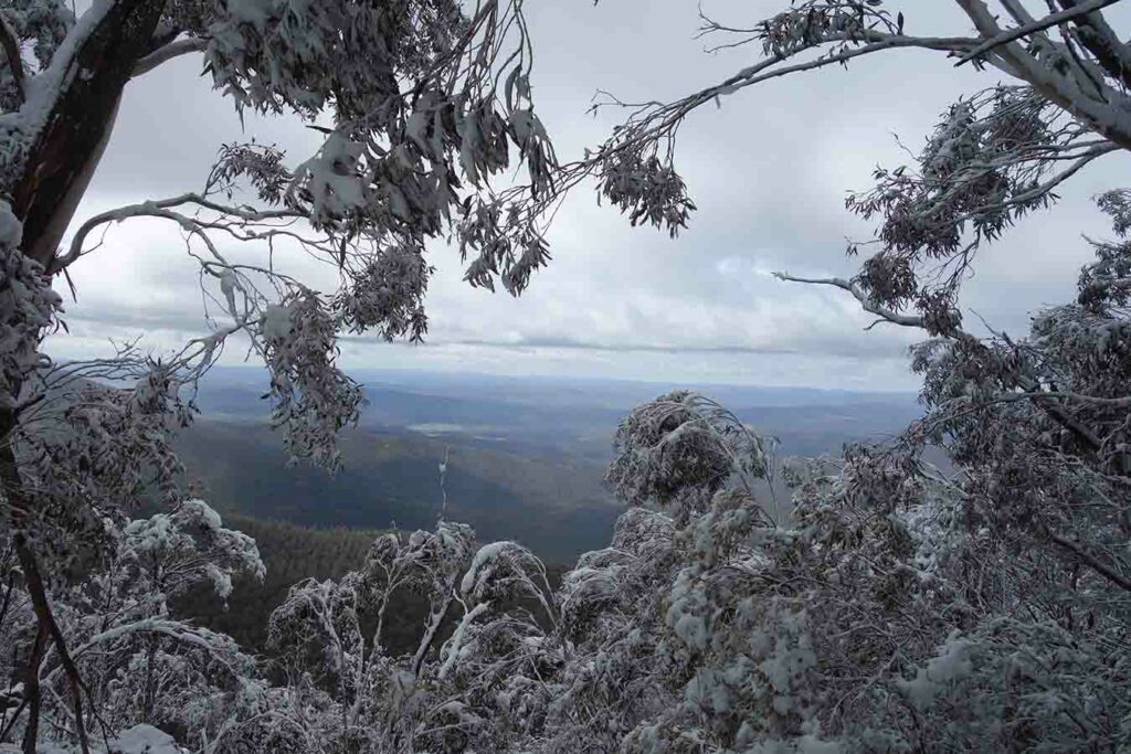
View down into Namadgi and Canberra (see the image below from an hour later)
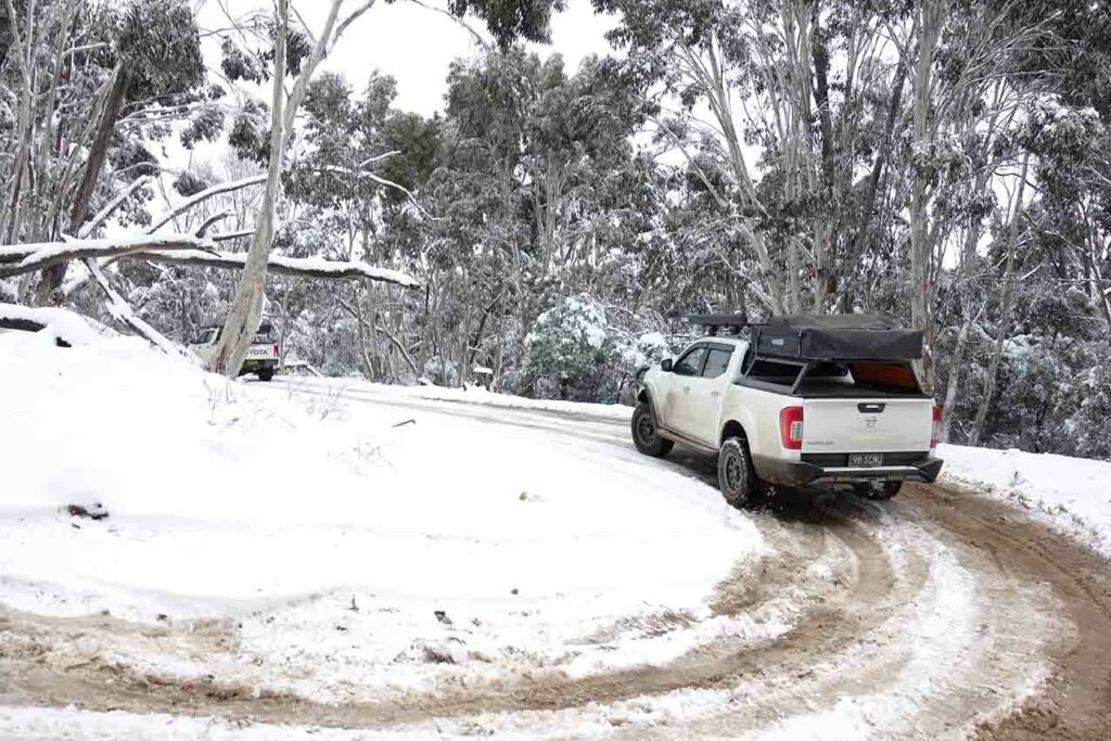
4WD traffic

Getting snowier on the ascent
The start of the summit
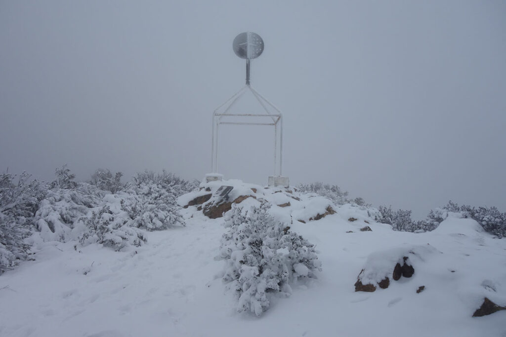
Mount Coree Trig Station
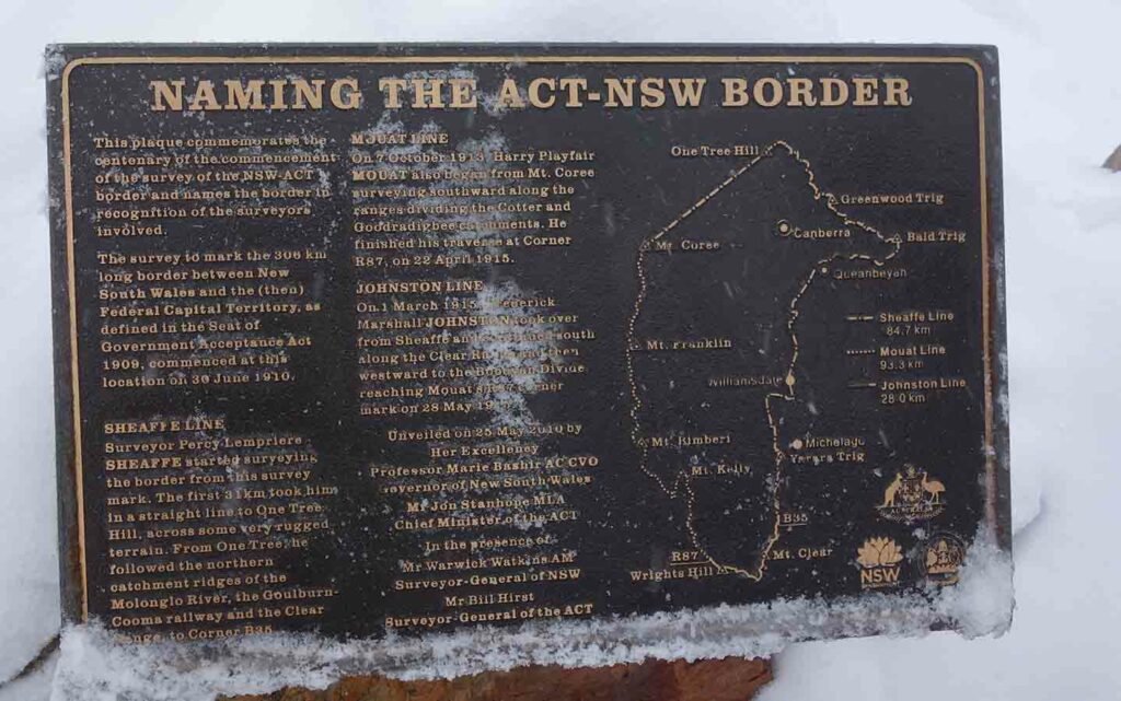
Interpretation sigange at the summit
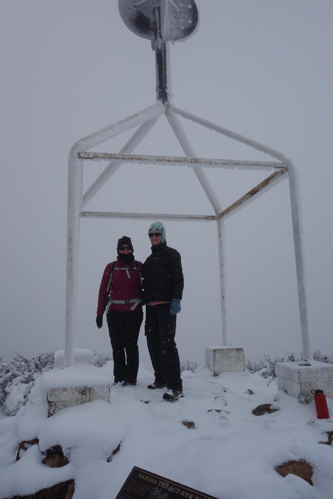
At the summit. On a clear day the views are excellent
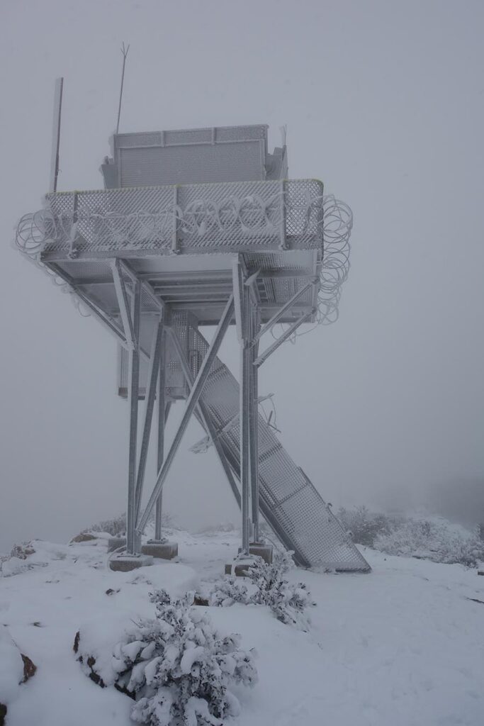
Fire tower at Mount Coree (or is it on the planet of Hoth?)
Heading down
This image is the same as the one earlier on in the hike when there were views down into the valley
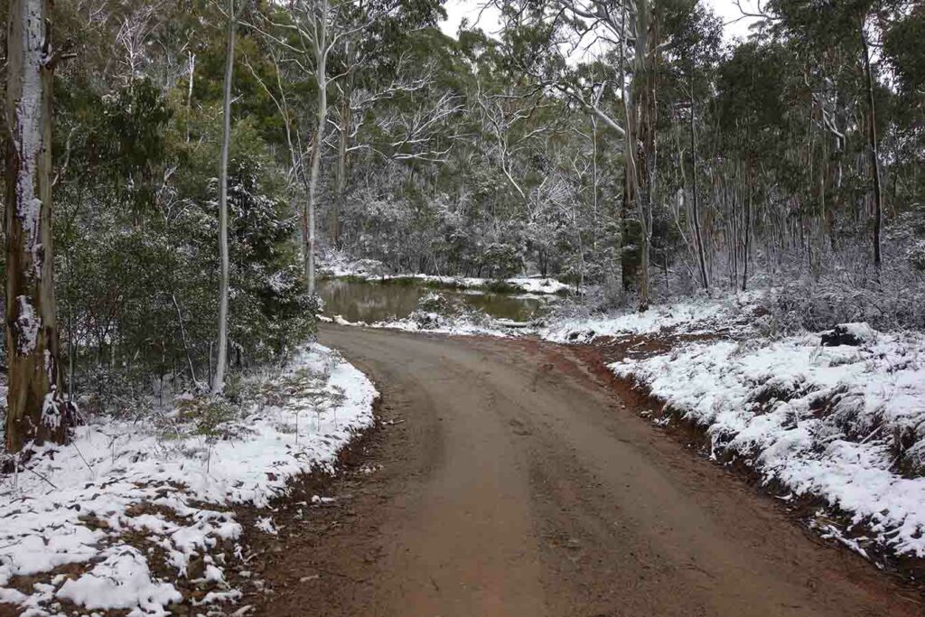
Dam near the car park
Back to the trailhead
Trail video
This video is a collection of images that takes you through this walk from start to finish
Getting There
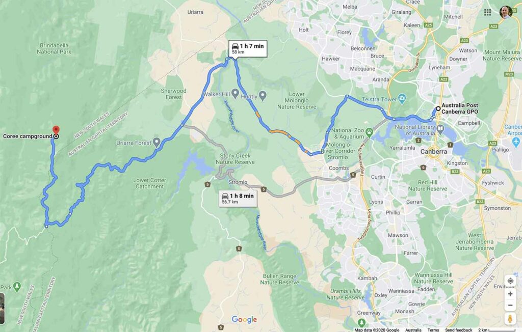
The Mount Coree Google map showing the distance from the Canberra GPO to the trailhead car park at the Mount Coree Campground:
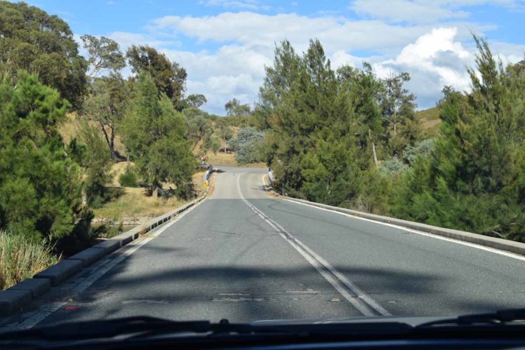
- Head to the Weston Creek area in southwest Canberra and take the road to Uriarra Crossing. Once you cross Uriarra Crossing turn left and head towards Mount Franklin Road. The road changes from bitumen to dirt and from the end of the bitumen you have 16.5 km to travel to the Bendora trailhead
- You will pass a ‘road condition’ sign that will show which areas are open or closed. The Mount Coree roads will be closed in periods of high fire danger as well as in winter during periods of heavy snow
- Turn hard right at Picadilly Circus onto Two Sticks Road. This is almost a hairpin turn
- The dirt road to the Mount Coree Campground is narrow in places so keep an eye out for vehicles coming the other way
- The whole trip from the Canberra GPO to the trailhead is just on 60 km
Urriarra Crossing. Turn left if coming from Weston Creek just after you go over the crossing
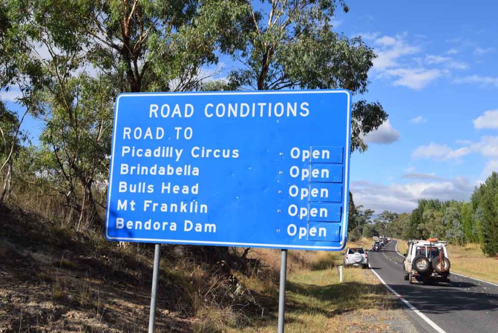
Road conditions sign. When doing this walk make sure that the road to Brindabella is open
Keep an eye out for this sign which means you are at Picadilly Circus
Turning on to Two Sticks Road
Things to know
- Phone: There is mobile phone coverage at the summit
- Water: You need to bring your own water
- Toilets: There is a toilet at the Mount Coree Campground car park
- Trail: This trail is on easy to follow formed track however there are some poorer quality sections particularly on the off track detours
- Dogs: No dogs allowed
- Camping:
- Camping is available at Mount Coree Campground
- Other:
- The road in to the campground can be accessed by any vehicle with descent clearance during dry conditions but if its been raining or snowing then you should only access this area in a 4WD
- The management road to the summit is accessible to 4WD vehicles
- The road may be closed to vehicle access and can be easily walked
- This road is subject to snow
- Camping can be undertaken at the designated campground
- You will need to sign a visitor intention form so you can be traced in case of emergency. You will also need to sign out after you have finished
- It’s worth picking up a copy of the paper map available next to the sign-in book to get you an overview of the various tracks in the park
Disclaimer
This walk was undertaken by the team from Australian Hiker
Last updated
8/12/2023