Camels Hump ACT (12.6 km)
Tidbinbilla Nature Reserve
Nearest Town
Canberra
Starting Location
Mountain Creek car park, Tidbinbilla Nature Reserve
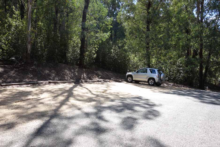
Entry to the Mountain Creek car park is well signposted. There is parking for about 25 plus cars as well as a solitary picnic table
Finish Location
Mountain Creek car park
Best Time to Travel
Year round. If you go in Summer be advised that this walk is closed if there is a total fire ban. The walk is best done when there is no cloud or fog to take advantage of the views. Expect potential snow on the ground during Winter
Camels Hump Trail Review
Please note that this is an extremely demanding walk on the final summit section
The Camels Hump walk, located in the Tidbinbilla Nature Reserve, has now become my ‘hardest’ Canberra walk. It’s not that its overly long at 12.6 km but with a few exceptions, this walk is almost up all the way to Camels Hump. And then you hit the ‘hump’, I’ll explain this in a minute. Like most of the walks in the Tidbinbilla Nature Reserve they are ‘choose your own adventure’ options. The Camels Hump can be hiked from the Visitor Centre making it 19 km, or from the Mountain Creek car park making for a 12.6 km hike. The shorter option, which we did, is the one most people do.
Once you enter the reserve you drive past the Dalsetta car park (the best chance for a toilet stop) and keep travelling on the loop keeping to the right on the two times there is a branch off. There is signage directing you to the car park so even if you go the wrong way on the loop, you will end up in the right spot. Be warned here that the road will be closed during periods of total fire ban.
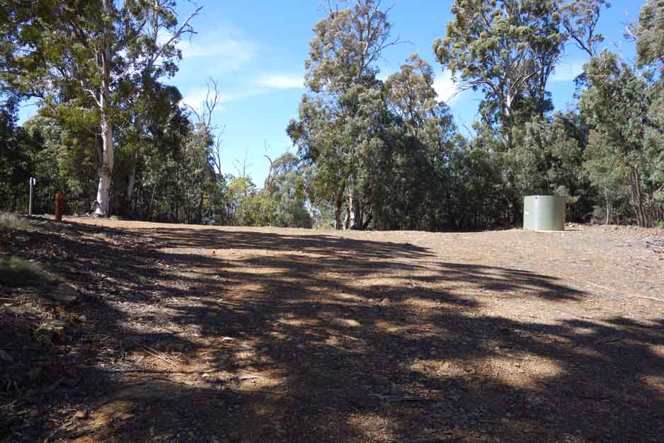
The walks starts at the Mountain Creek car park and from a facilities point of view there is not much there. Apart from a solitary picnic table there is a trail head sign which details the four walks you can do from this location including the much shorter Lyrebird Trail and the Cascades Trail. This walk is supposed to take six hours but we reached the summit in 1.5 hours with the whole hike taking just over 3.5 hours which included about 30 minutes at the summit. You do need to be fit to do this walk otherwise allow the full six hours and take it easy. Also come prepared for changes in the weather.
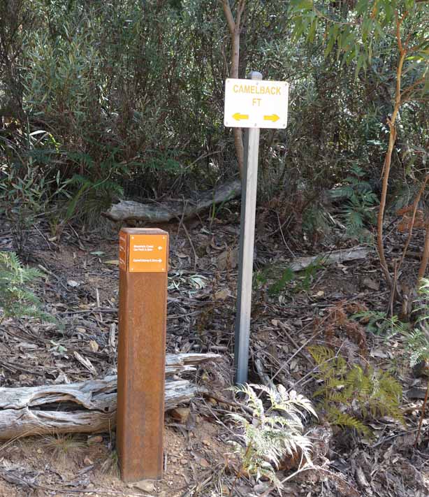
This trail has limited directional signage but there is enough to keep you on track except at the summit. Please note that the trail signs you are following are those to ‘Camel Back’ but all have ‘Camels Hump’ identified as well. The hump itself being the last section, that takes you to the summit.
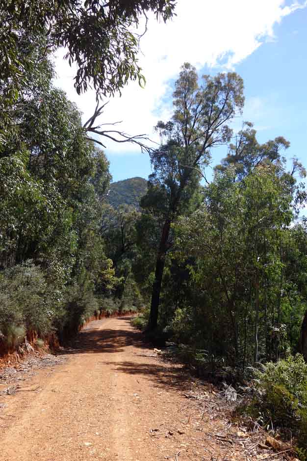
Sign in at the trail logbook about 20-30 metres into the walk and off you go. The majority of this trail is on a management road which is in good condition with the most sketchy part of this trail being on the hump itself. This trail has an altitude increase of 542 metres and the start of the walk is where a lot of this occurs. One thing that annoys me about any trail is knowing you are going up to a particular altitude and then you start going down – this trail has a couple of those sections. The growth on each side of this road is much thicker and moister than many other areas in the region and I love this walk just for the surrounding forest.
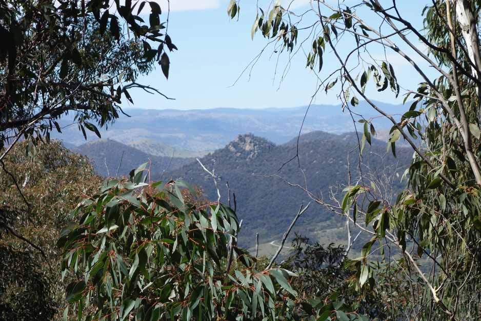
Hike up to the road intersection where there is a water tank and an option to head back the the visitor centre – this is ‘Spur One’. At this point we turned left and followed the Camel Back sign. As you head up you will start getting views across the neighbouring valleys. One thing I hadn’t really thought about until I did this hike, is how much land was cleared in this region for farming. You will reach the the base of Camels Hump and are presented with a sign but nothing else. This is where the trail becomes really difficult and why I have rated this as a grade 5 rather than the offical grade 4.
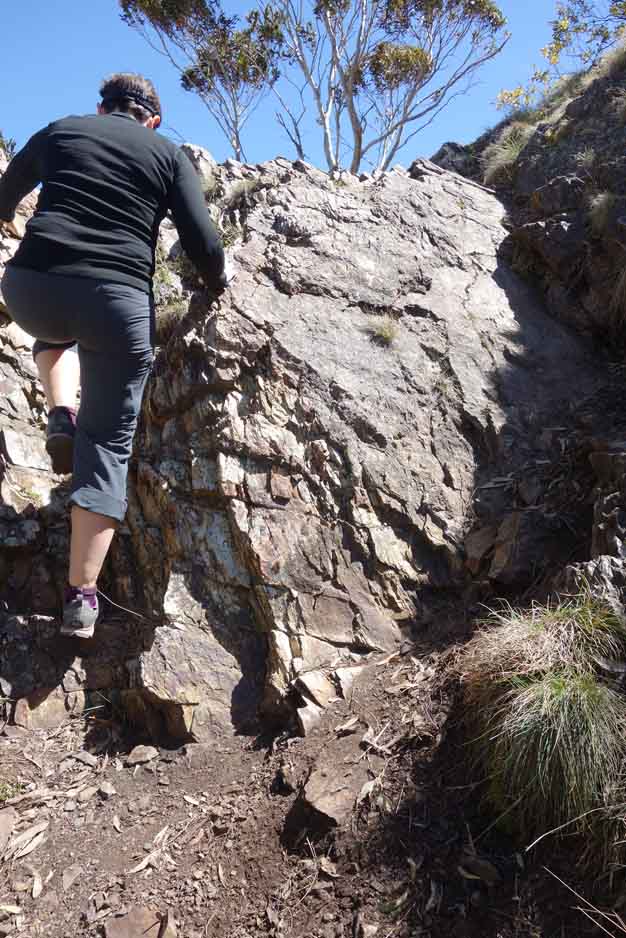
If you have a fear of heights and don’t feel like doing a mountain goat impersonation you may not want to do the summit as the trail is narrow, overgrown and requires scrambling. There are a number of routes that people have taken to reach the summit so take it slowly and ensure you don’t go off track as some of the options are very difficult. The down trip from the hump is more difficult due to the steep decline and unstable ground so please take your time and be careful with your footing as it can be a bit precarious and because the area is very exposed, it is very windy.
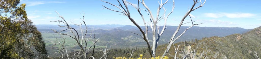
The summit itself is OK with a rock cairn but there are a lot of small Wattle trees that blocking the views to large sections of the valleys so while you will have good views back to the centre of Canberra that’s about it. However, there is an obvious ‘lookout’ area about 50-60 metres down from the summit that provides excellent 180° views to the surrounding landscape. The gorges are very different in this area and remind me more of the Blue Mountains. The walk down from the base of Camels Hump to the car park is pretty straight forward and a fairly rapid downhill trek compared to the uphill trip.
This walk was well worth doing and if you want a training walk to improve your fitness that also has good scenery then this is a good options. Just remember to pick your day so you can take advantage of the views.
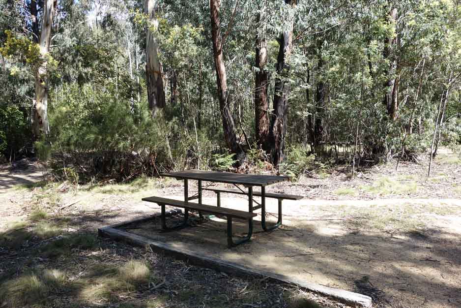
There are limited facilities at this car park – one picnic table
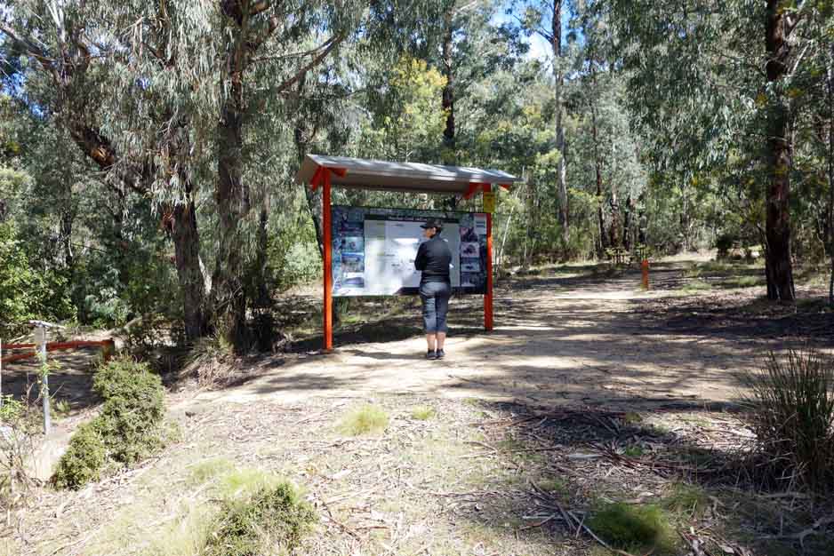
Interpretive sigange at the trail head explains the walk and others that leave from this area
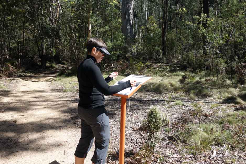
There is a trail register just after you start the walk, please fill it out, and sign back in when you have finished
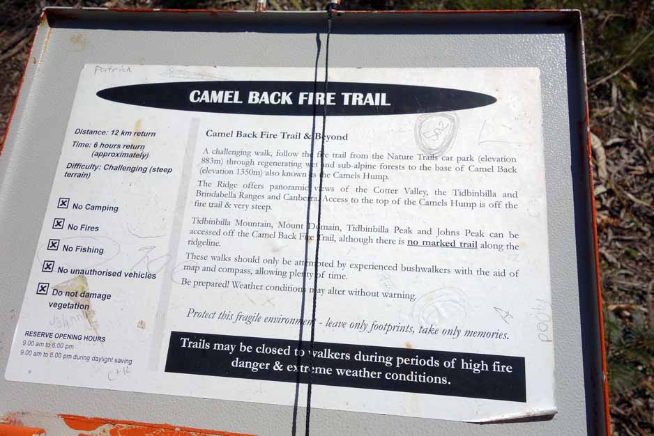
A warning sign on hiking in this area. With a warning like this the trail has to be rated a 5 on the Australian trail grading system
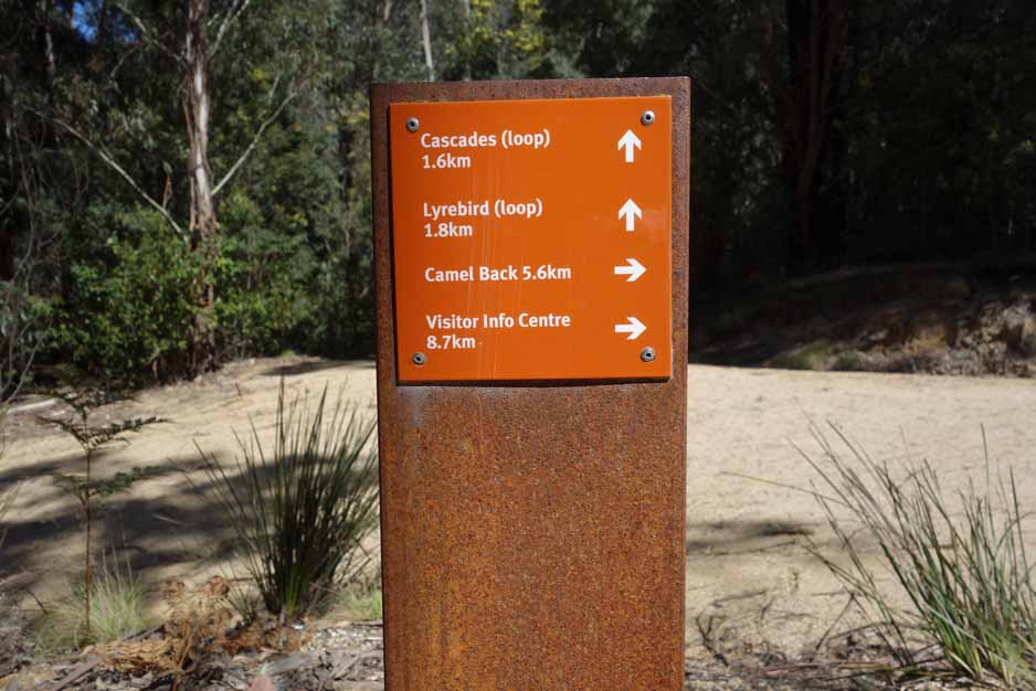
The trail signage is where you need it except for when you climb the ‘hump’
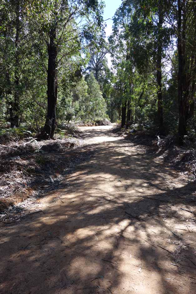
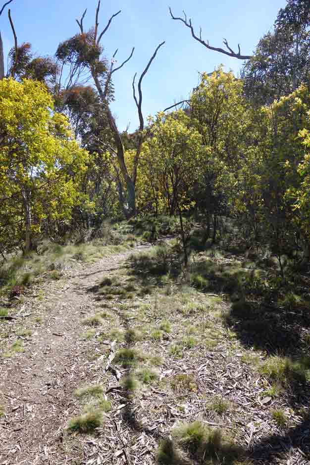
The forest is lush and dense particularly on the first half of the walk
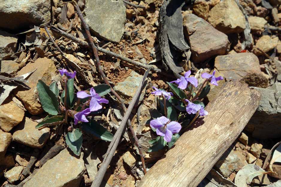
Native violet
Follow the signage to the left at the water tank
Trail marker at the water tank turn off
View down to Gibralter Peak
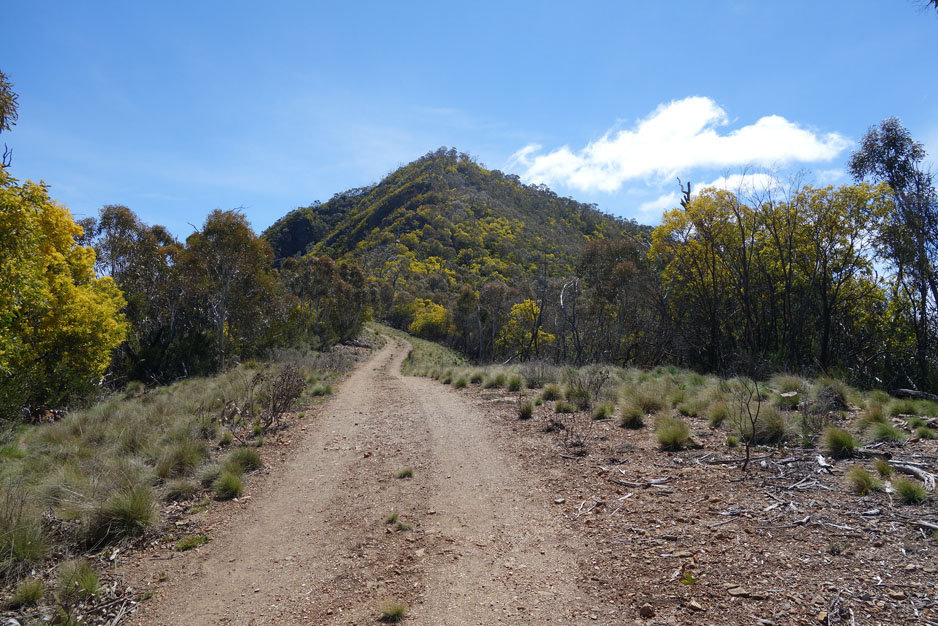
The hump coming into view. This shows you how much of a climb that is still left
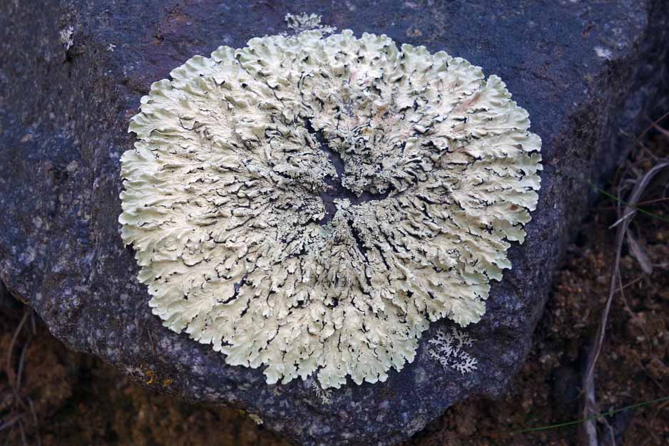
Lichen
The Camels Hump
Start of the hump
Choose your own adventure. There is no fixed trail on this walk so be careful where you go
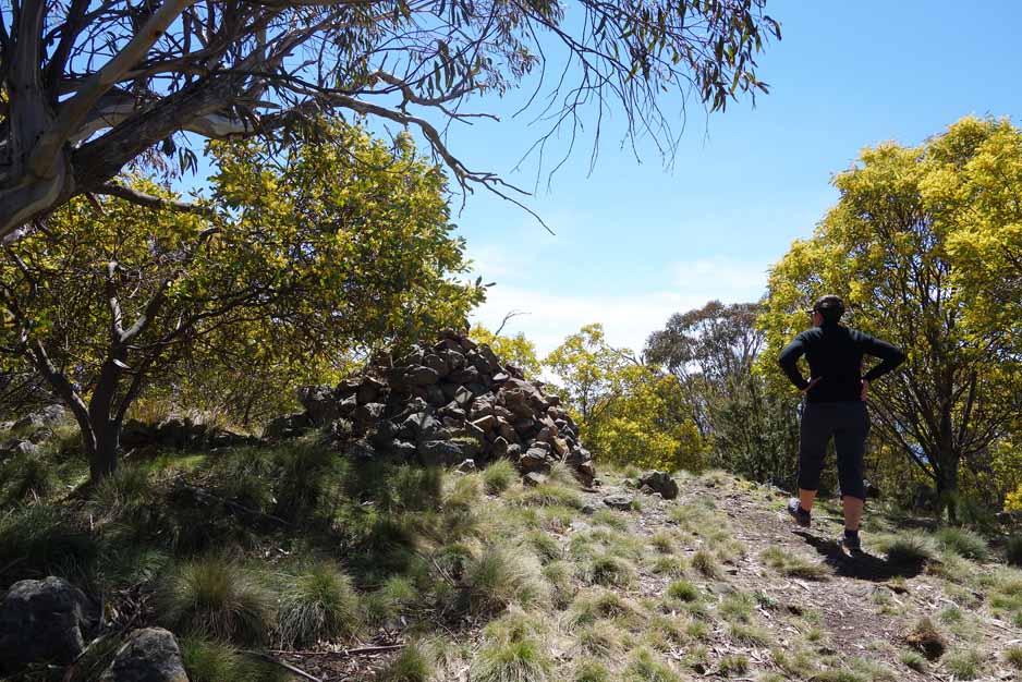
The summit of Camels Hump. I’m not a fan of rock cairns preferring instead to leave the environment as I find it
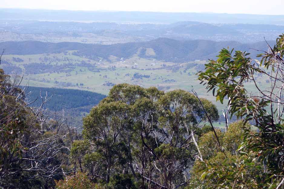
View to the Deep Space Communication Complex and then the city of Canberra beyond
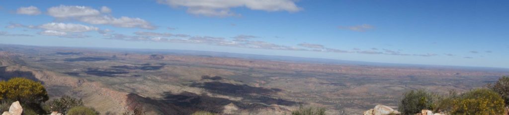
Panorama view from the lower lookout. The lower lookout is about 50-60metres from the summit and has great views
Panorama view from the lower lookout. The lower lookout is about 50-60metres from the summit and has great views
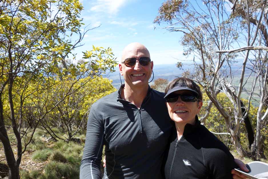
Tim and Gill at the summit of Camels Hump
Getting There
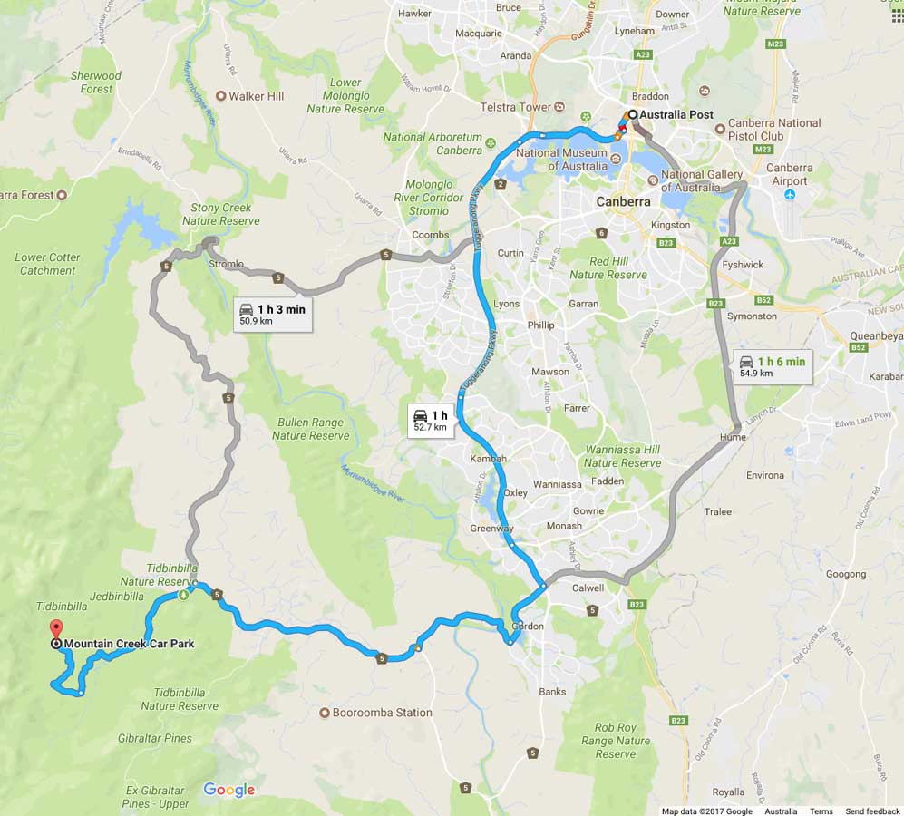
Image from Google Maps
The trip from the centre of Canberra is approximately 1 hour and 50 km. Once you enter the nature reserve itself travel to the Dalsetta car park (stop here for a toilet break if you need to) then continue on the loop road taking the right branch each time you have the option. Mountain Creek is well signposted so as long as you are reading the signs you won’t have any problems.
The Tidbinbilla Nature Reserve contains a series of walks that are closer to Canberra than those at nearby Namadgi National Park. Many of the Namadgi walks, particularly those that go into the Bimberi Wilderness Zone, are more remote requiring a higher level of skill but with it a higher degree of seclusion whereas the Tibinbilla walks are easier to access but you are unlikely to be alone on the trail.
Vehicle access into the reserve requires a permit which ranges from a single visit at $14.50 per vehicle with up to eight people or $39.50 per year. If you are a keen walker it’s worth buying the annual pass as it only takes three visits over the year to make it economical.
If you have an annual pass you can enter the park via the boom gate and scan you pass from as early 7:30 am in the morning and you will need to be out by 6:00 pm at the latest (8:00 pm in summer). If you are buying a single entry into the park you will need to wait until the visitor centre opens at 10:00 am (9:00 am in the summer).
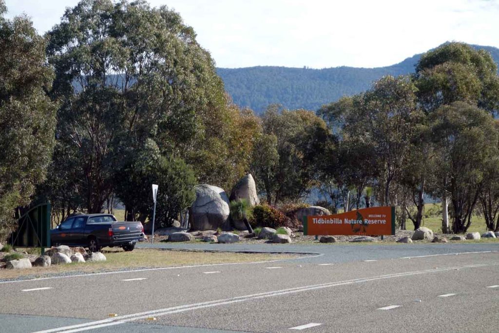
Entrance to Tidbinbilla Nature Reserve
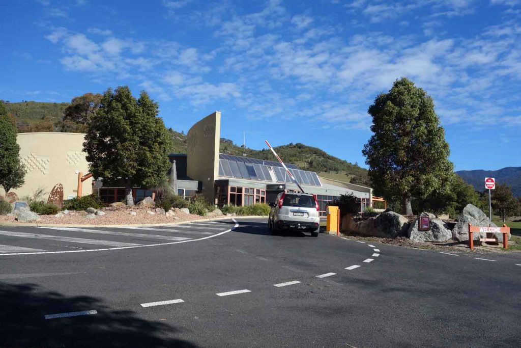
Tidbinbilla Visitor Centre and boom gate. If you have an annual pass you can just swipe your card for access without having to enter the visitor centre
Things to Know
- Phone: There is variable phone signal on this track (Telstra), really only at the summit area
- Water: Bring your own water
- Toilets: Toilets are available at the main trail heads and at the visitor centre. The closet toilet is at the Dalsetta var park which you pass on the way to the Camels Hump trail head at Mountain Creek
- Trail: This trail consists mainly of management road with natural trail on the ‘hump’
- Dogs: Dogs not allowed
- Other:
- This walk is done in an out and back way
- This trail is closed when there a total fire ban
- WARNING: Ascending the ‘hump’ requires you to be comfortable with very steep inclines and treacherous declines. Ascending/desecnding the ‘hump’ is not for the faint hearted
- Tidbinbilla Nature Reserve requires a pass to enter with your car (with up to 8 passengers)
- The annual pass is $44.11 and if you plan on doing at least three visits over the year is the cheapest option
- A day pass is $15.53
- The reserve is accessible before the visitor centre opens so long as you walk in or have an annual pass
- The visitor centre sells snacks if you need
Disclaimer
This walk was undertaken by the team from Australian Hiker