2021 Tasmanian Trail
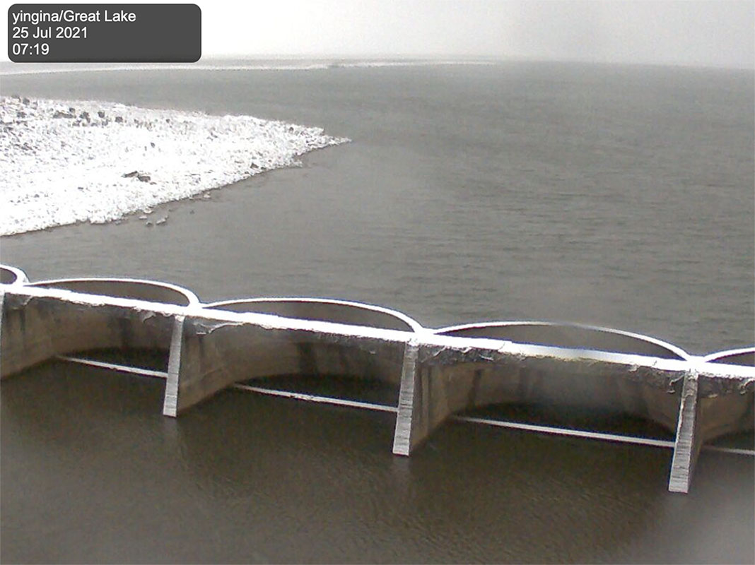
 Webcam on the Tasmanian Trail
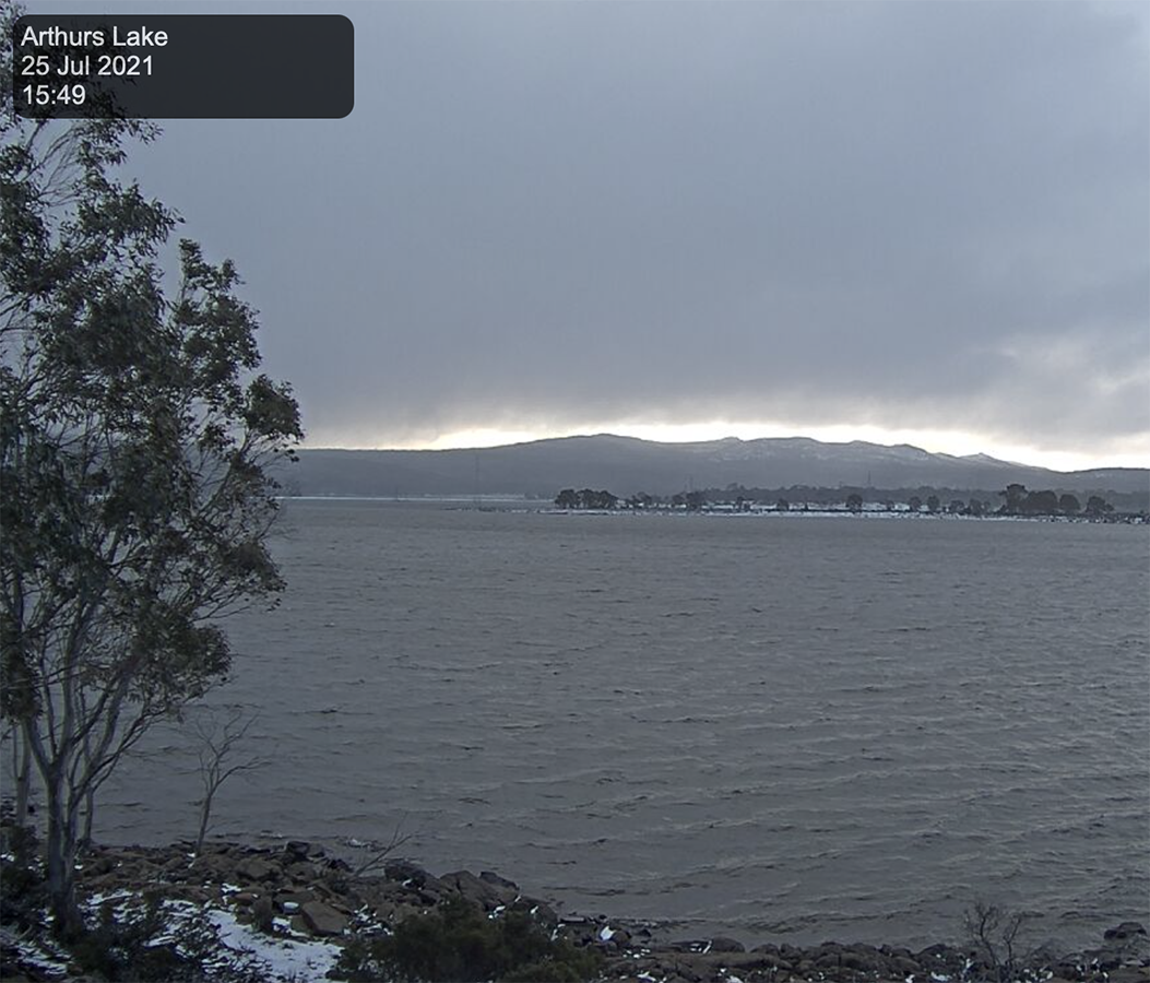
 Arthurs Lake webcam view
And now for Plan B – the Tasmanian Trail. This multi-use trail essentially runs down the centre of Tasmania from the northern trailhead in Devonport to the southern trailhead of Dover for a distance of approximately of approximately 480 km. Being a multi-use trail, the Tasmanian Trail is designed for walkers, cyclists, and horse riders and as a result, it skirts national parks. Unsurprisingly this trail has a trail marker and logo based on the 5,330 km Bicentennial National Trail.
It’s interesting in reading various blogs and guides about this trail. It isn’t rated for walkers because you do skip Tasmania’s national/international known hiking regions. In addition, being a trail that suits all three modes of transport, you spend a lot of time on management trails and walking along roads.
This trail isn’t without its challenge, particularly at this time of year. For the past three weeks when the possibility of doing this trail reared its head, I have been keeping a close eye on the various web cams in areas along or near the trail. The two images attached to this post show the weather on the 25 July when the snowfall hit. In fact, snow was forecast down to 300 metres in elevation at the time of this post which is what I would have expected for this time of the year.
This has meant I have had to ‘pivot’ quite quickly from the Heysen, not only in resupply, transport and accommodation but also in the environmental conditions I am expecting with snowfall being an issue (see the images below). I’ve had to re-evaluate my equipment needs and while I have a full set of snow gear, it was time for some updates but more on that over the next few days.
Previous Post Next Post
And now for Plan B – the Tasmanian Trail. This multi-use trail essentially runs down the centre of Tasmania from the northern trailhead in Devonport to the southern trailhead of Dover for a distance of approximately of approximately 480 km. Being a multi-use trail, the Tasmanian Trail is designed for walkers, cyclists, and horse riders […]