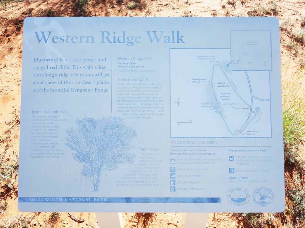
Western Ridge Walking Track NSW (5.6km)
Mutawintji National Park
Nearest Town
Broken Hill, NSW
Best Time of the Year to Travel
- April-October
- Avoid the really hot months
Starting Location
Across the road from the entrance to Homestead Creek Campground, Mutawintji National Park
Finish Location
Homestead Creek Campground, Mutawintji National Park
Western Ridge Walking Track Review
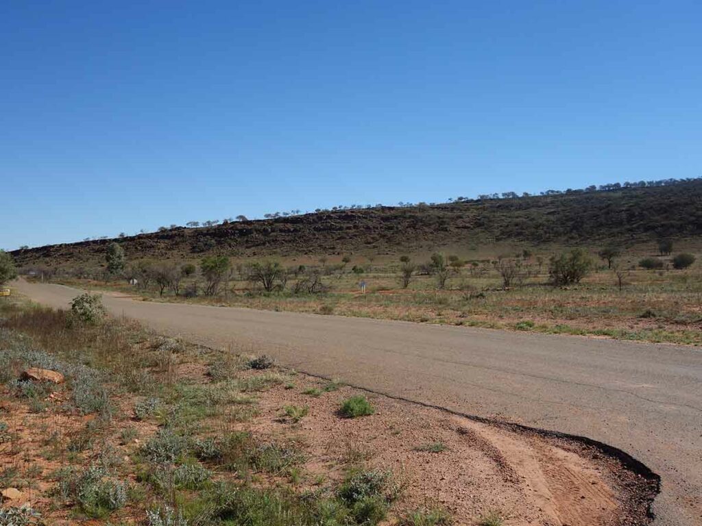
The Western Ridge Walking Track, also known as the Sunset Ridge Trail, is exactly what its name describes. This ridgeline walk takes you above the valley and overlooks the road that runs down the centre of the Mutawintji National Park. It provides excellent views down into the valley below on the eastern side of the range to the Homestead Creek Campground and day use area, and to the western side of the ridge to an expansive open plain that is the ideal spot to take in the setting sun.
This track is a one-way walk that almost but doesn’t quite form a loop. The recommended trailhead is across the road from the Homestead Creek Campground and takes you up the hill to the western ridge where you spend most of the time walking along the ridge. By starting across the road from the campground you are walking in an anticlockwise direction which in itself isn’t that important unless you are walking up to see the sunset. By walking in an anticlockwise you do the harder section of the trail first that leaves you with a gradual and relatively easy descent back down in the dark which is preferable to the more complex option you are presented with if you walk in a clockwise direction.
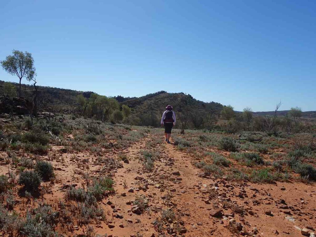
The ridgeline ranges in size but varies between about 40-80 metres across and given its not heavily vegetated, you will get fantastic views from both sides of the ridge. It’s not until you get about 2/3 along the walk and approaching the descent point where the ridge narrows and it’s at this point that you get views in both directions – this is probably the ideal spot for viewing sunsets. If you are doing this walk as a sunset walk allow yourself plenty of time to get up the the ridge to find the ideal location that suits you.
If you choose to do this walk during the daytime as opposed to a sunset walk, then try to start early in the day preferably at around 7:00am to avoid the worst of the afternoon heat. This walk will take most people around 2-2.5 hours during the daytime and a bit longer when its dark.
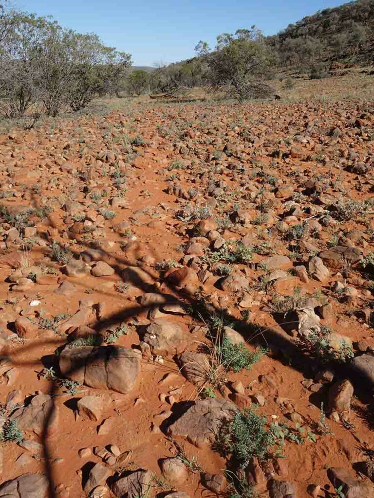
Vegetation-wise this landscape is pretty barren but even so you can still find the odd plant in flower including the most dominant one being the Solanum ellipticium (Velvet Potato Bush) which was everywhere on our visit. What is lacking is the larger wildlife and while we did see a kangaroo on this walk, it was pretty flighty and hopped away as soon as it saw us. We did also see the odd lizard but they also moved away pretty quickly as well. Perhaps the dominant wildlife on this walk was the goats – we saw group of around 8-10 as the valley started to narrow and rise up. The Mutawintji management team has a goat herding and eradication program in place so hopefully there will be less sightings in the future.
Animal life aside its the birds in Mutawintji National Park that make themselves known particularly in the morning and the evenings.
Once we had our fill of the views we made our way down. Doing the walk anticlockwise made the descent relatively gradual and easy to navigate. This track reminds me in many ways of the Larapinta Trail being mainly sandy soil littered with rocks so you do need to pay attention to where you put your feet, particularly at nighttime. As such if you are descending at night it’s worthwhile having a good quality head lamp and sturdy footwear.
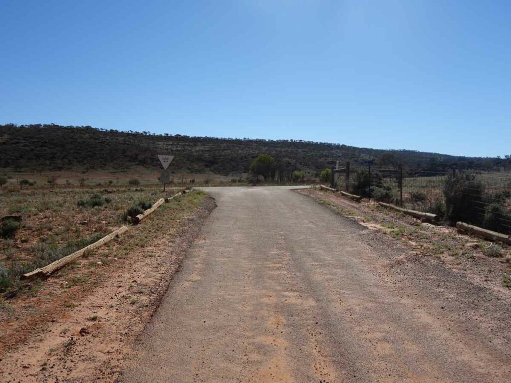
Once you descend from the hill you are walking parallel to the main road which typically isn’t very busy so while Gill walked on the trail itself, I walked along the road shoulder which was the easier option. Keep an eye out for signage because you will be directed across the road and after crossing the dry creek bed the trail finishes inside the campground. Like many of the walks in this park if there has been rainfall you may need to avoid the creek crossing.
Trail signage on this walk is a basic information sign at the walk start and end, and a number of directional guides along the trail. These guides are white painted star pickets, many of which a number have small hiker logos. Once you get your eye in, you will easily see one star picket to the next so keeping on track is relatively easy.
This is a great ridge walk and one that doesn’t require you to drive anywhere if you are staying at the Homestead Creek Campground.
Exiting H0mestead Creek Campground
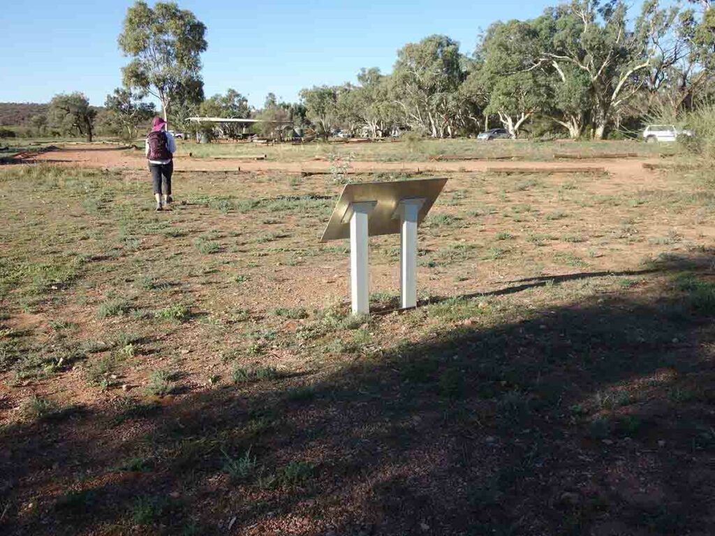
When standing at the Homestead Creek Campground entry/exit, look towards the left and you will see the trailhead start sign (in the middle of the image)
Trailhead signage
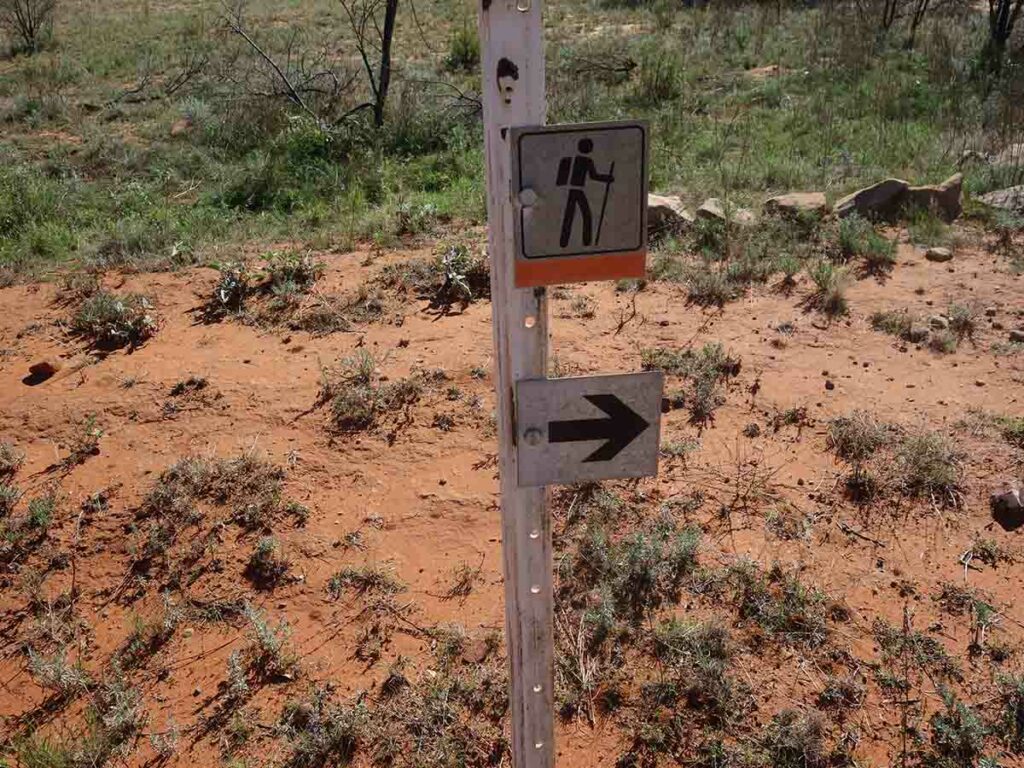
Trail directional signage
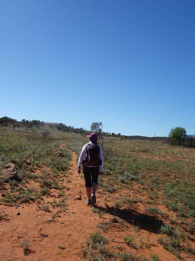
And off we go. Follow the worn trail
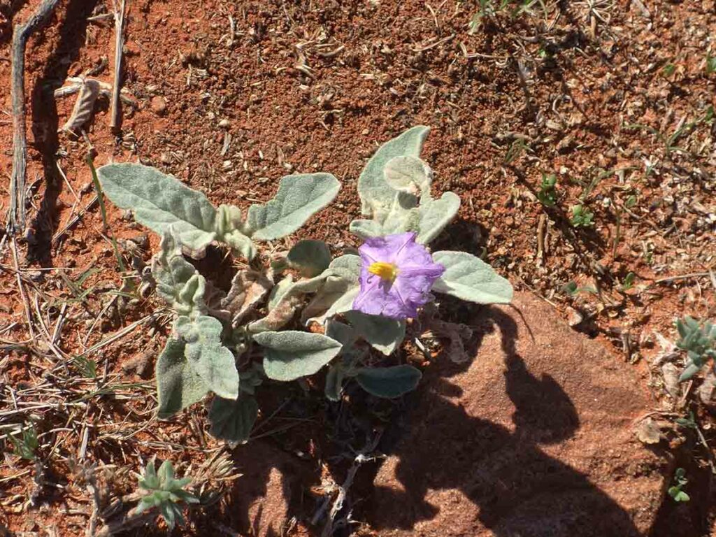
Solanum species in flower on the Western Ridge Walking Track. This was by far the most common flowering plant throughout the park
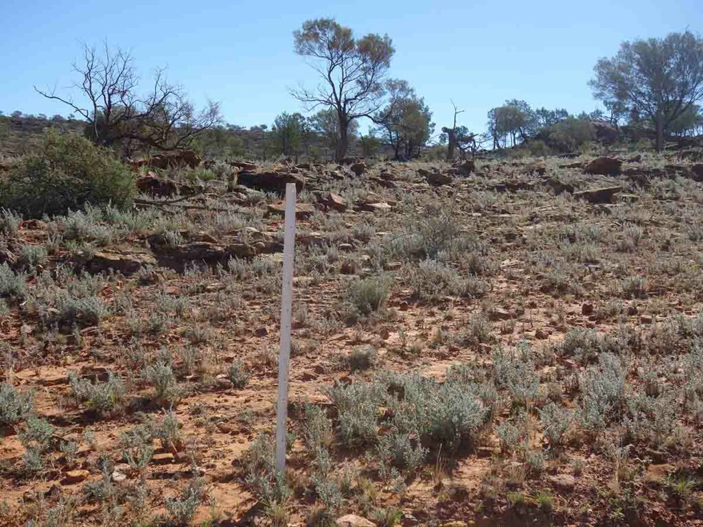
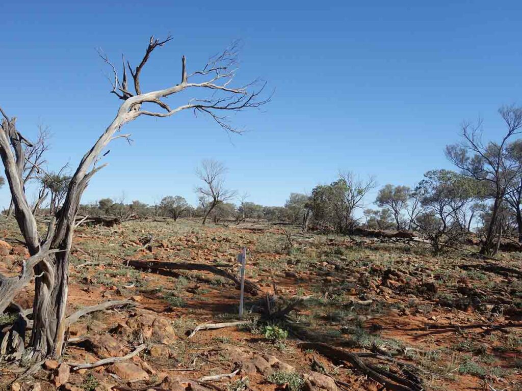
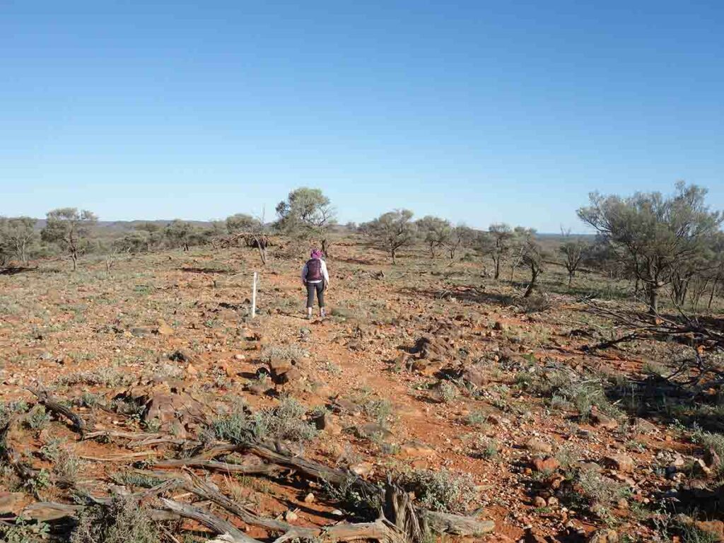
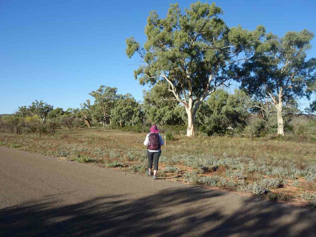
White marker post. You can usually see the next post from the one before
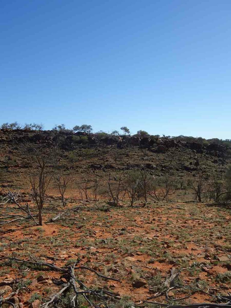
First peak
Trail example showing the rocks that you need to navigate. Good footwear is essential
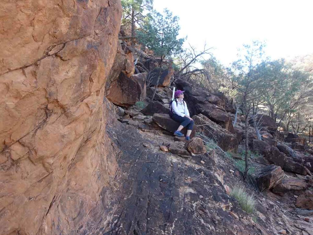
Break time
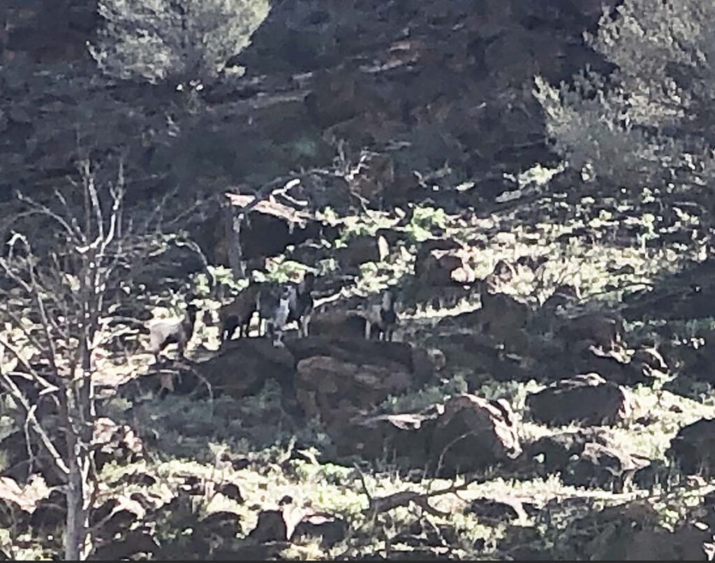
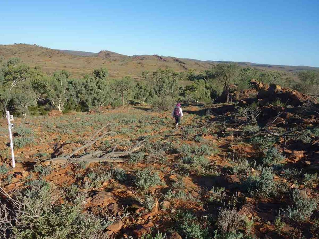
Goats in the centre of the image
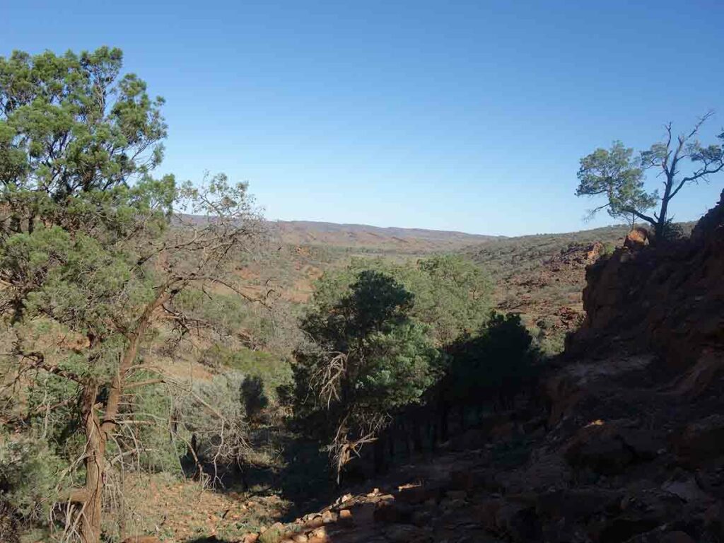
View down towards the valley
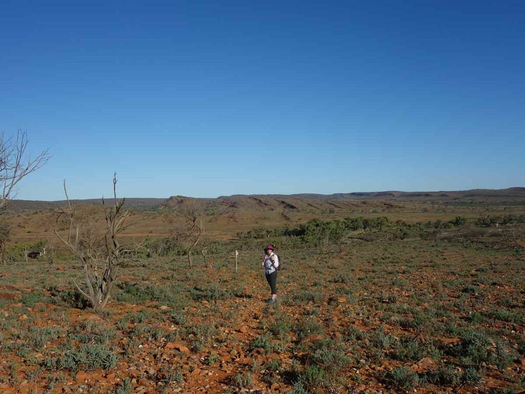
Looking up towards the final ridgeline
Approaching the ridgeline
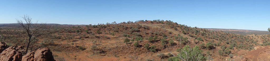
Panorama image
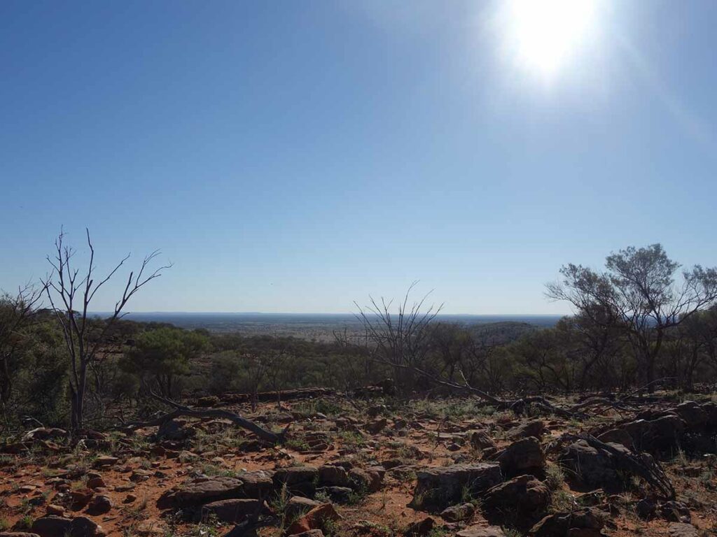
View towards the open plane on the western side of the ridge
Along the ridge
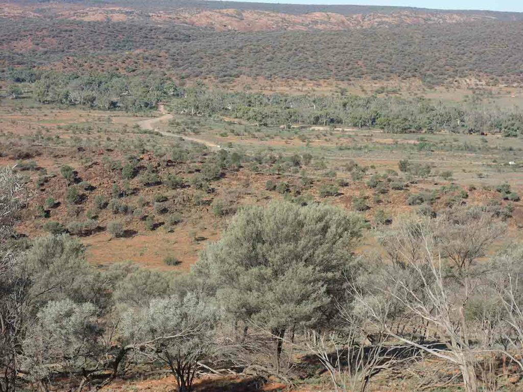
View towards the day vvisit area
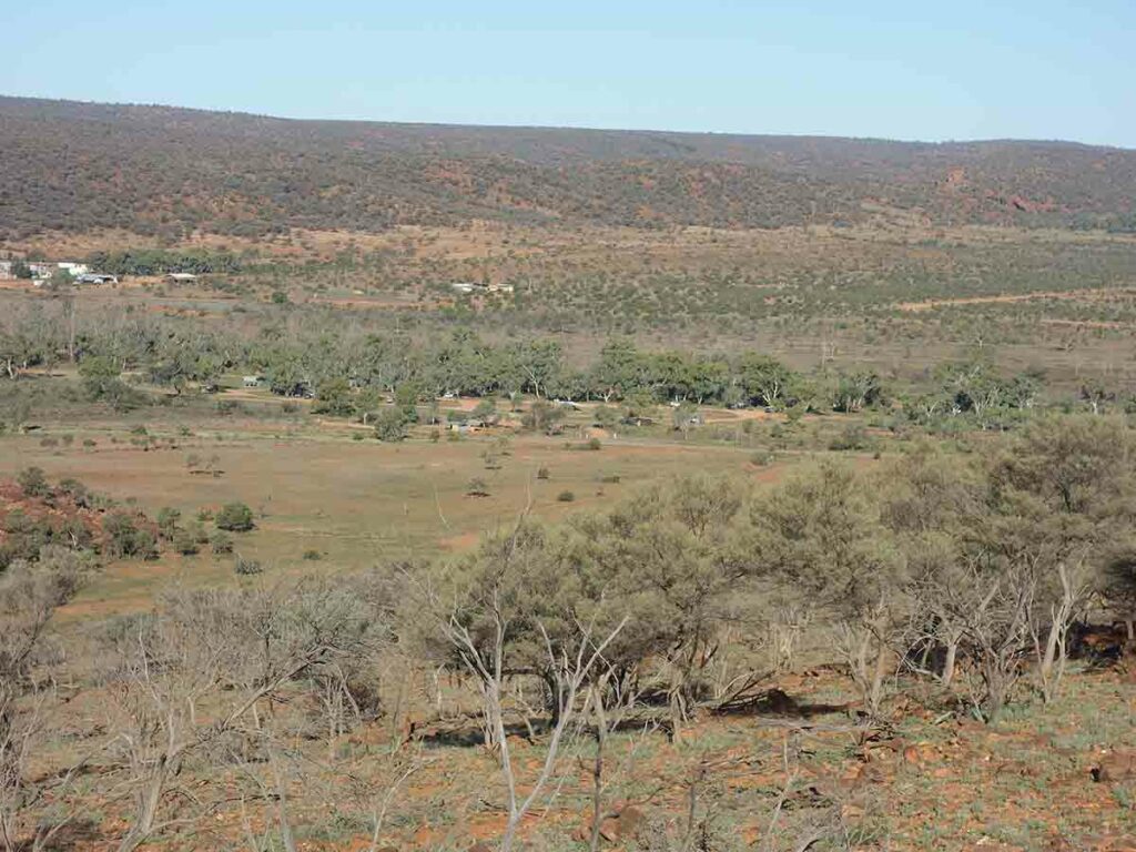
View towards the Homestead Creek Campground
Heading down the northern end of the ridge
Still heading down
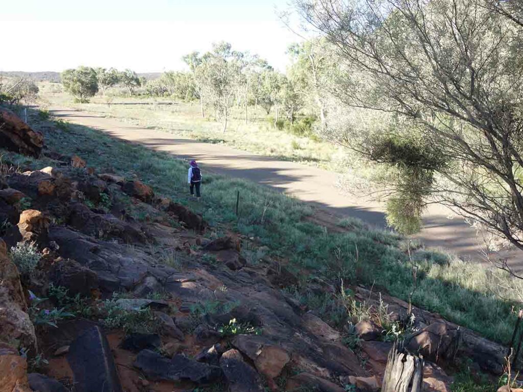
Heading back towards the Homestead Creek Campground and approaching the road
Crossing the road
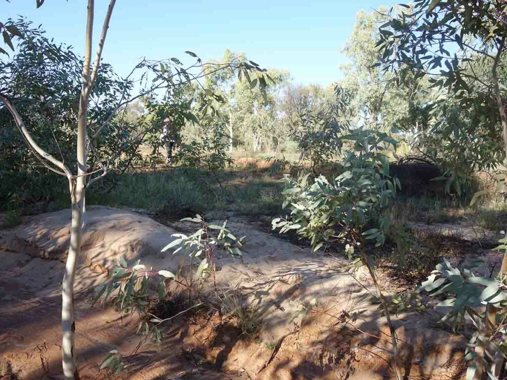
Crossing the dry creek bed
Trail finish inside the campground
Trail Videos
This short video contains photos and video from our walk to show you the walk from start to finish including videos at the lookout platform on this walk
Getting There
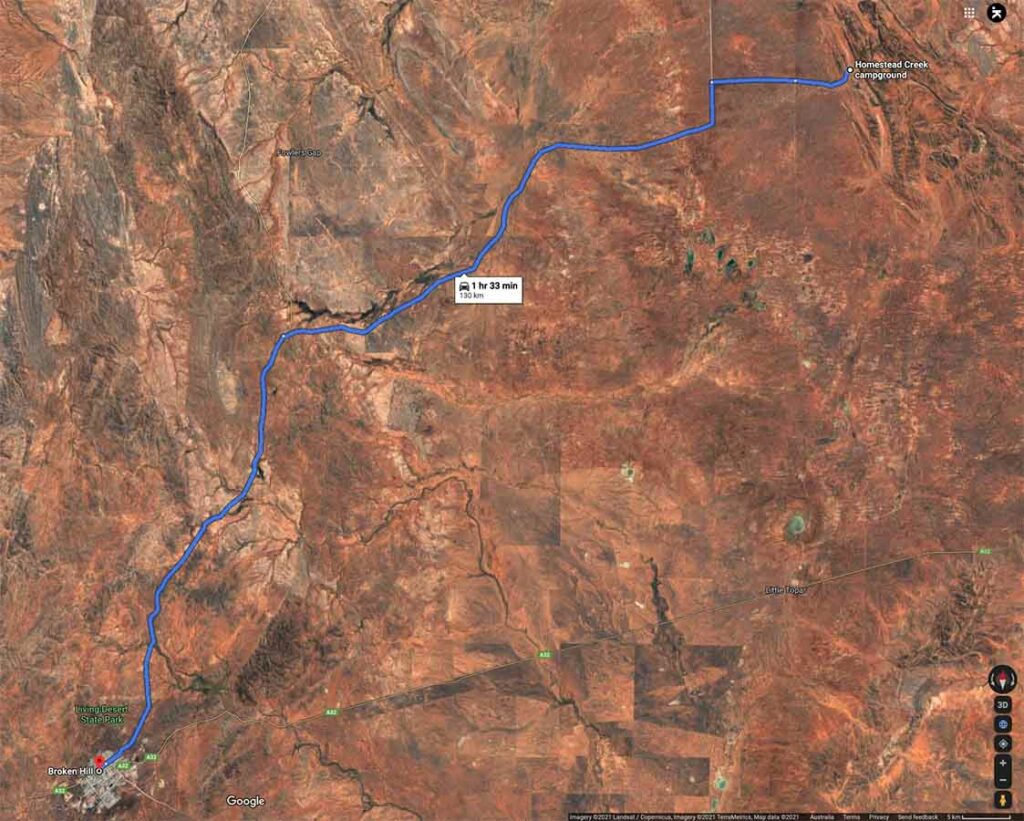
Google map from Broken Hill. The trip from Broken Hill is 130 km, much of it on dirt road
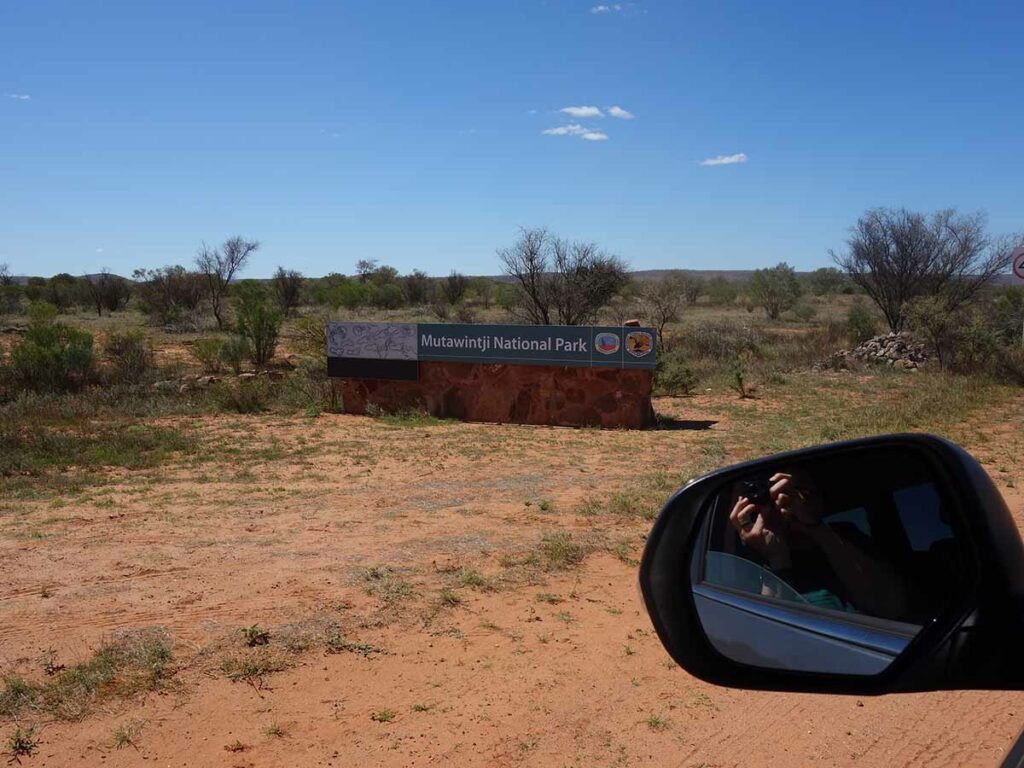
Entering Mutawintji National Park
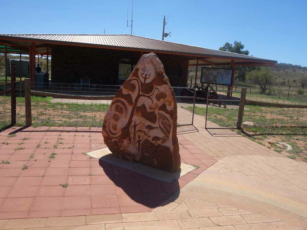
Information Centre. This kiosk is un-personed
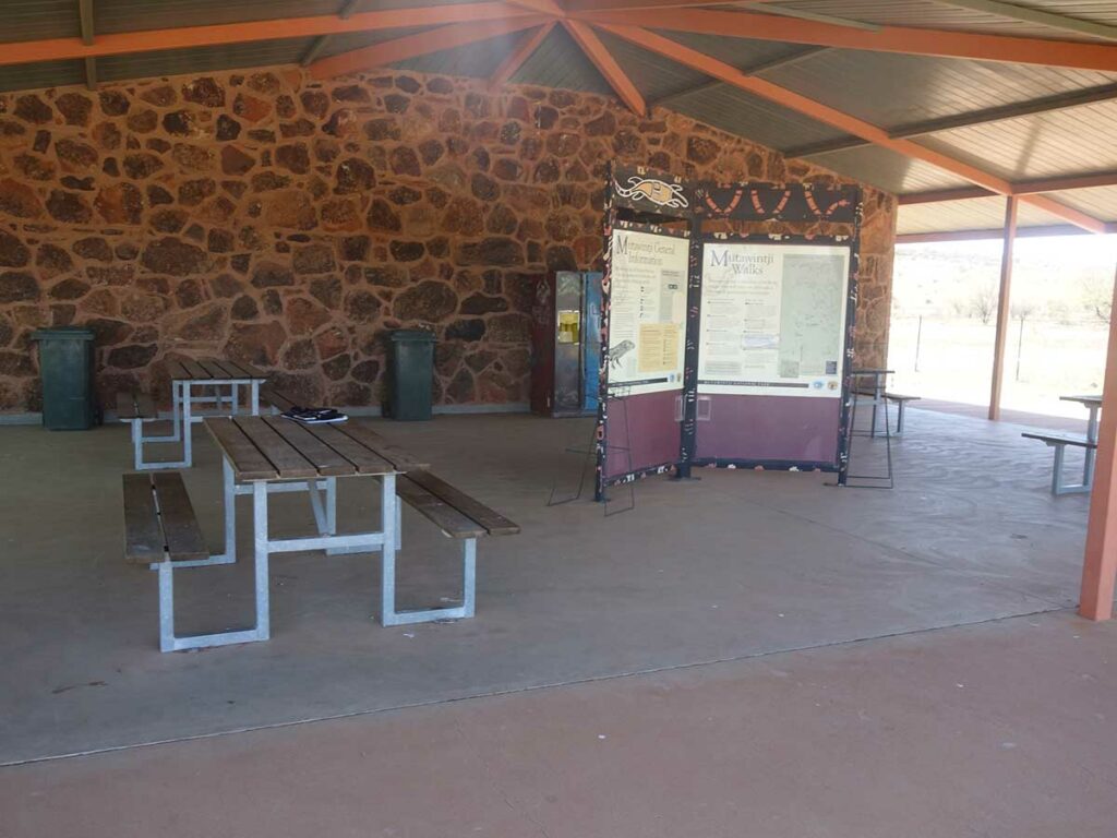
Information centre view
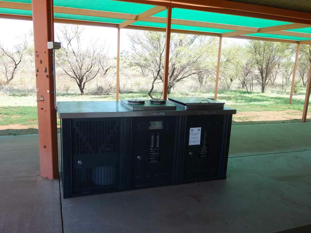
Barbecue at the information centre
Things to Know
- Phone: There is minimal (almost none) phone signal on this track (Telstra)
- Water: You need to bring your own water
- Toilets: There are toilets located in the campground across the road from the trailhead
- Trail: Most of this trail is on formed natural track
- Dogs: No dogs allowed
- Camping: allowed
- Other:
- Start this walk in an anticlockwise direction particularly if doing a sunset walk
- Avoid the summer months – it is very, very hot at that time
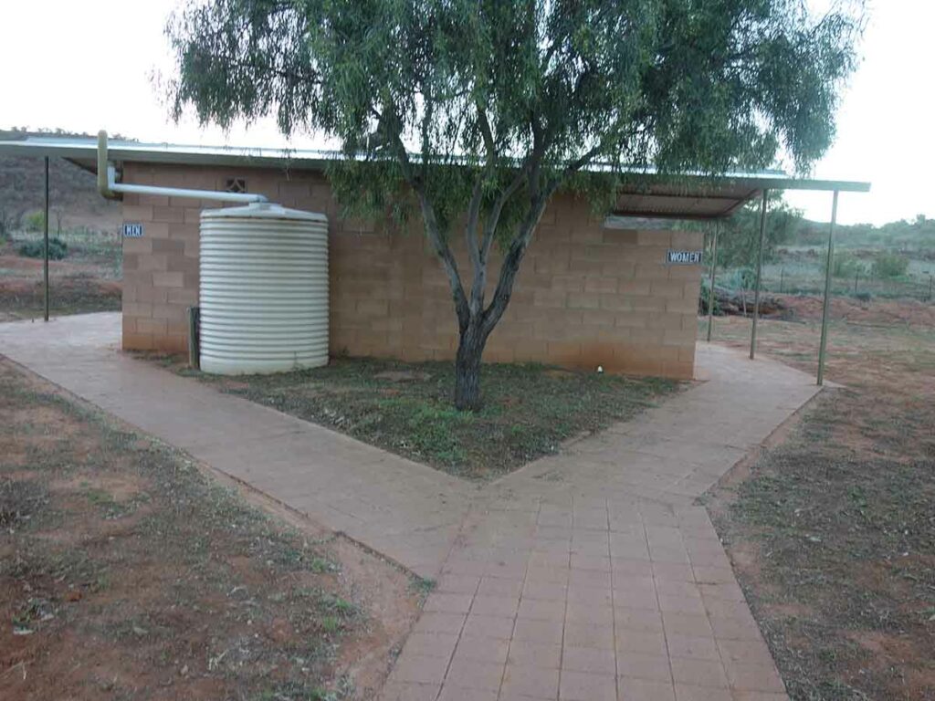
Toilet and shower facilities at Homestead Creek Campground
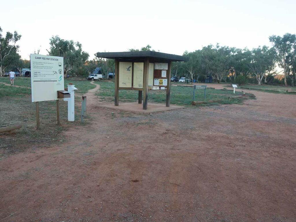
Homestead Creek Campground information kiosk
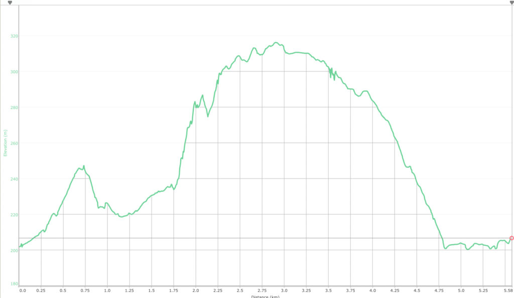
Trail elevation map when done in an anti clockwise direction
Disclaimer
This walk was undertaken by the team from Australian Hiker