Munyunga Waraga Dhugan Loop Walk NSW (6.1km)
Booderee National Park
Nearest Town
Jervis Bay Territory, NSW
Best Time of the Year to Travel
Year round
Starting Location
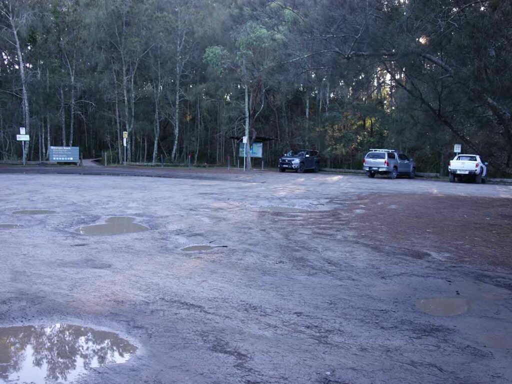
Murrays Beach car park. This car park will fit 40+ cars comfortably
Finish Location
Murrays Beach car park
Munyunga Waraga Dhugan Loop Walk NSW Review
This trail starts at the Murrays Beach car park which is about as far as you can travel along the Jervis Bay Road. Older hikers may know this walk as the Murrays Walking Trail but as a nation we are starting to become more culturally considerate and this one, like many others, has now been given its Aboriginal name, the Munyunga Waraga Dhugan Loop Walk. I’m not even game to try to pronounce that.
As suggested by the name this is a loop trail that does a circuit around the southern headland of Jervis Bay. This trail has been designed as an anti-clockwise walk and is marked that way on the overview map. As is always the case, I tend to ignore these suggestions and I do ‘what feels right’ so I opted to do this trail in a clockwise direction – this had pros and cons which I’ll discuss in this review.
Before starting at the Murrays Beach car park (which has a toilet facility and large rubbish skip) stop in at the visitor kiosk in the corner of the car park and read about this walk and the area in general. Head up the short nearby ramp and onto the short spur trail that takes you through the main loop. At this stage you can head down to the water at Murrays Beach and have a bit of beach time or wait until your return visit. The trail branches both right and left at this stage and as mentioned, I took the left branch opting to walk along the water and cliff edge first; doing it this way provided a gradual walk uphill.
One thing to note is at this stage the trail signage still shows ‘Murrays Walking Track’ and the new name signage has yet to be installed. Its also worth noting that the signage to Murrays Beach will also get you back to the start.
The first stop is Governor Head lookout which provides views of the bay as well as nearby Bowen Island and the open ocean. From here return back to the marked trail and continue by following the pathway closest to the cliff. One disadvantage of doing this walk in the clockwise direction is that the views into the bay aren’t as good as walking in the direction intended. However, its also worth mentioning that doing the walk in the clockwise direction is marginally easier and the forest at the end of the walk just feels better in this direction. Overall I’m glad I chose the direction that I did.
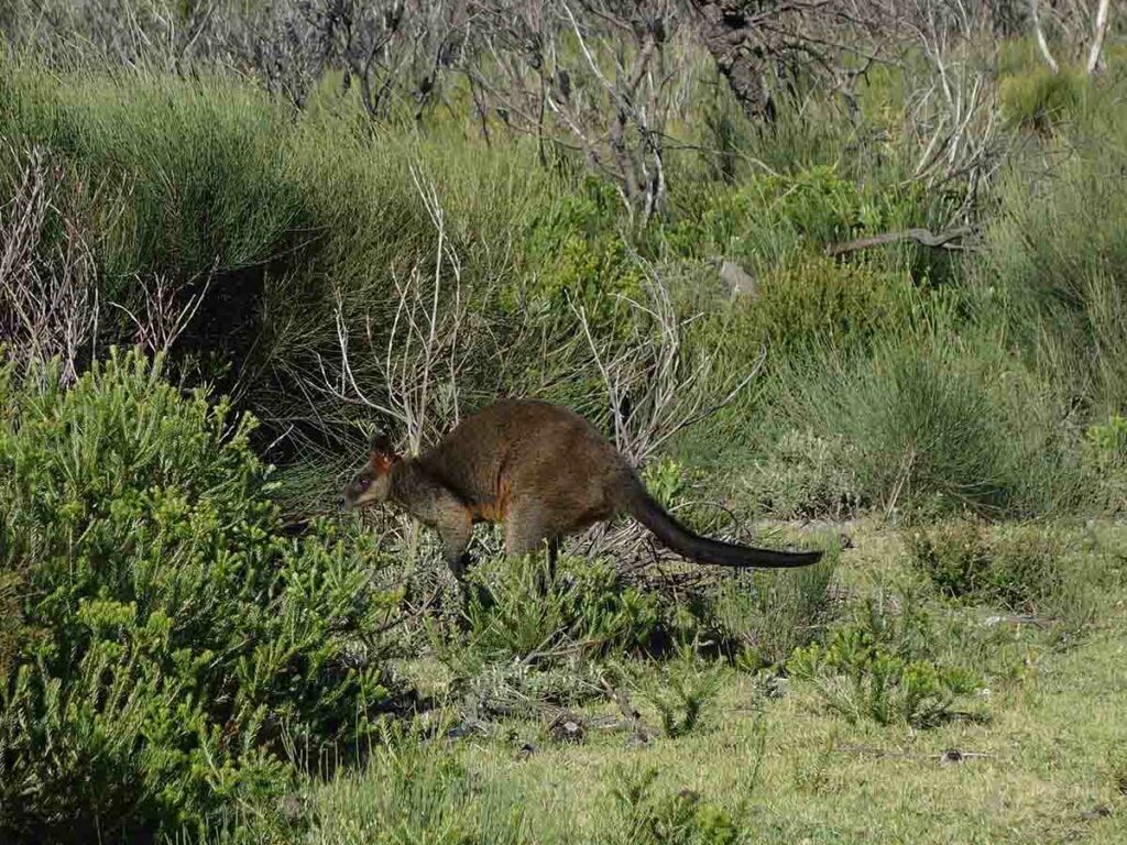
There are warning and interpretation signs on this trail with some of it overgrown but if you pay attention its easy to spot. Both the start and the end of the walk is through forested area with the middle section taking you through low coastal heathland. On the day I did this walk there were very fat wallabies everywhere but otherwise there was a lack of any other apparent wildlife. Even though much of the vegetation was low to the ground on the cliff area, if you pay attention there are a lot of flowers to see.
One of the big pluses with this walk is the spectacular views to the ocean. You can get quite close to the cliff face (by choice) so if you have young kids with you, you’ll need to pay attention.
Continue on the walk and follow the directional signage. As mentioned the descent back to the car park is gradual and much easier if done in a clockwise direction. Once you get back to the beach turnoff you can head down for a swim or back to the car park. If you are reasonably fit this walk can be down comfortably in under two hours.

Trailhead car park
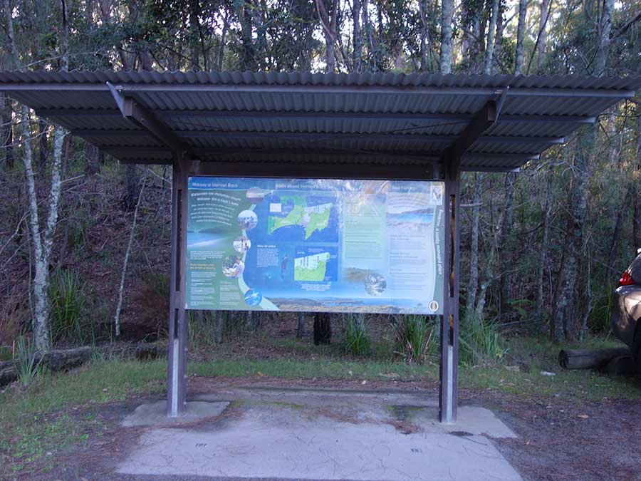
Trailhead information signage
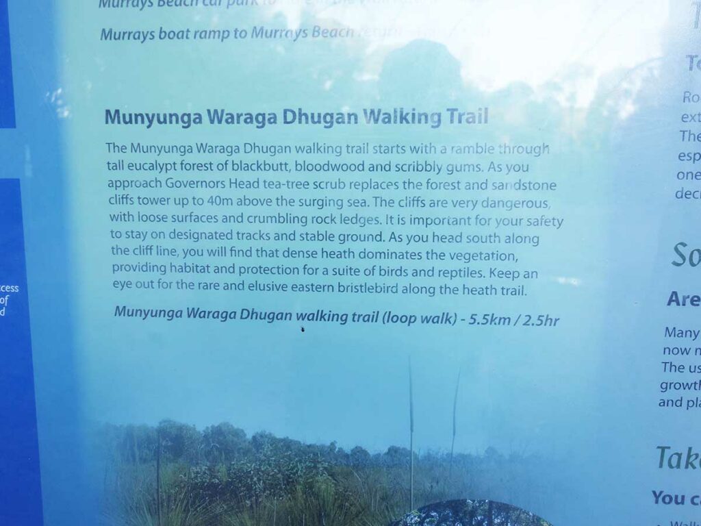
Trail information
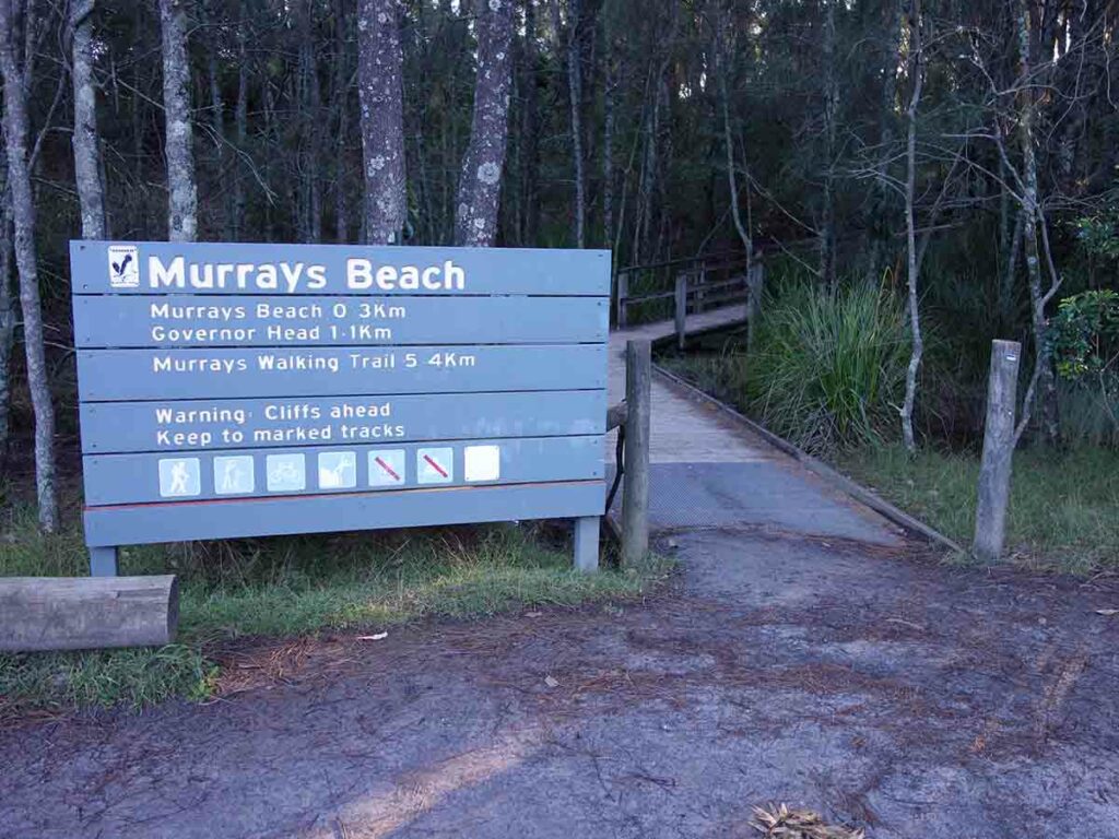
Trail start follow the Murrays Trail signage
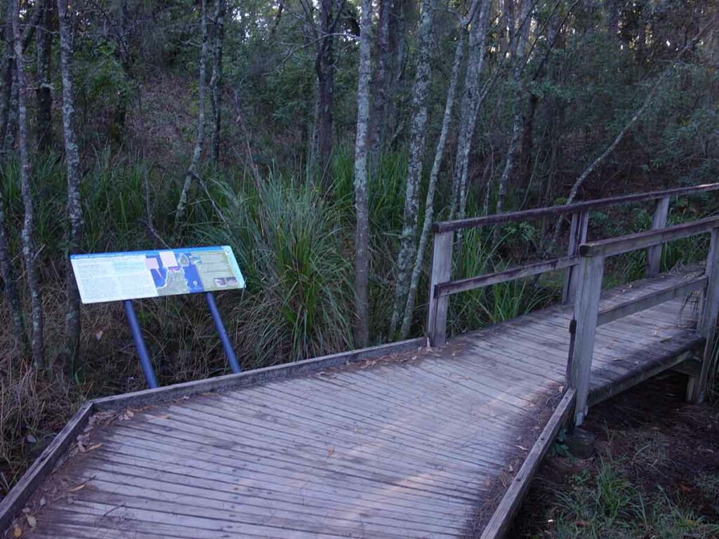
Start of Munyunga Waraga Dhugan Loop Walk (Murrays walk)
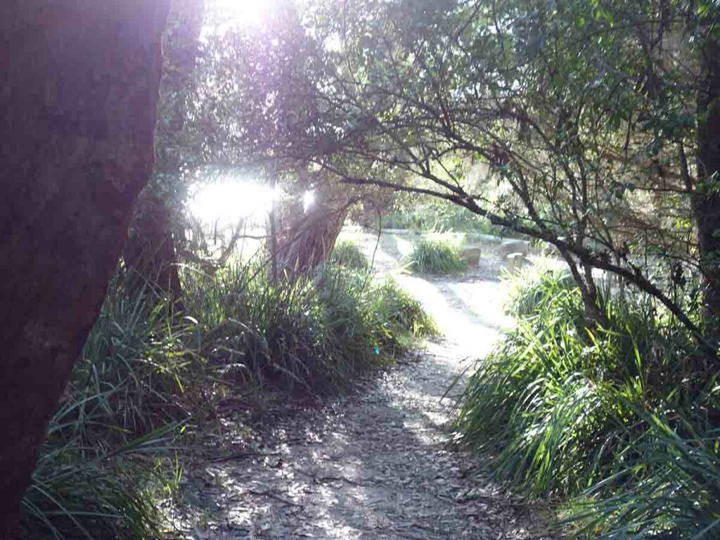
Breaking out to the beach area
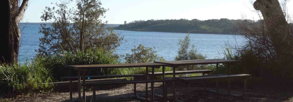
View to Bowen Island at Murrays Beach
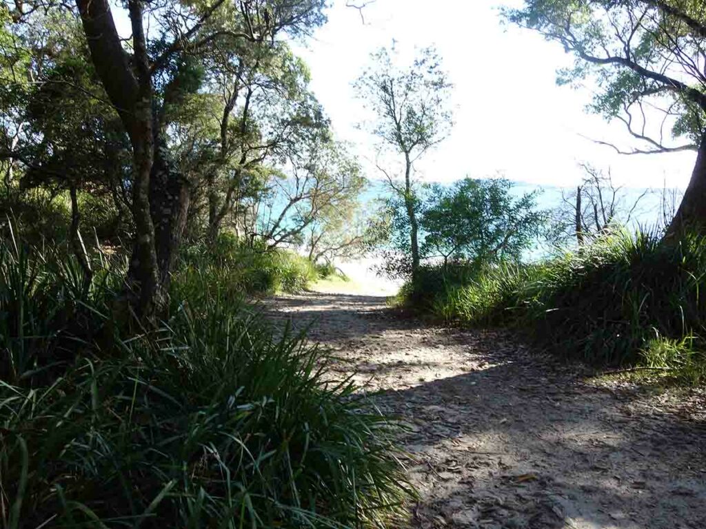
Down to Murrays Beach
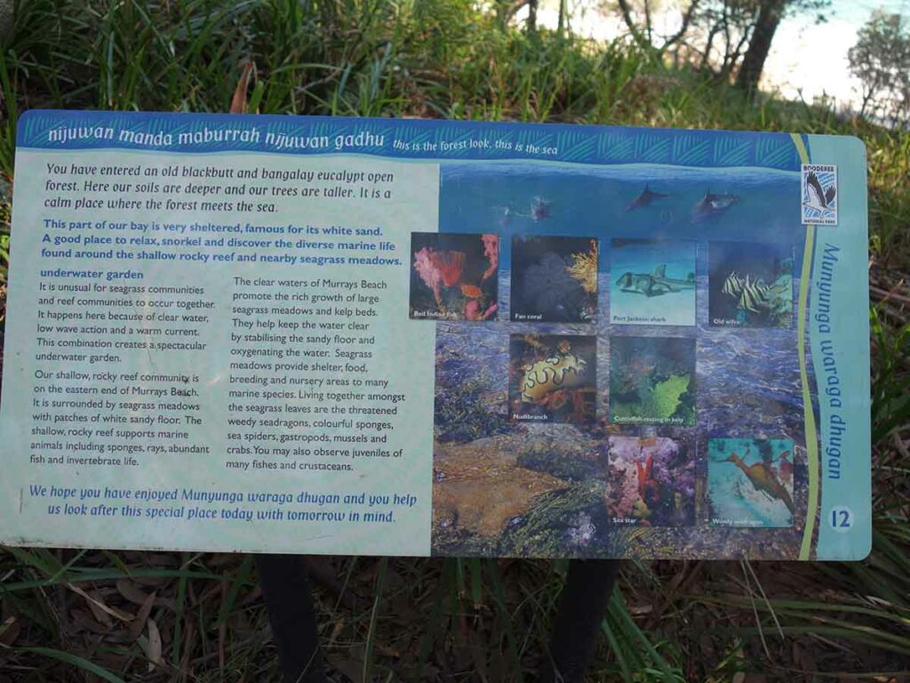
Information signage on the trail
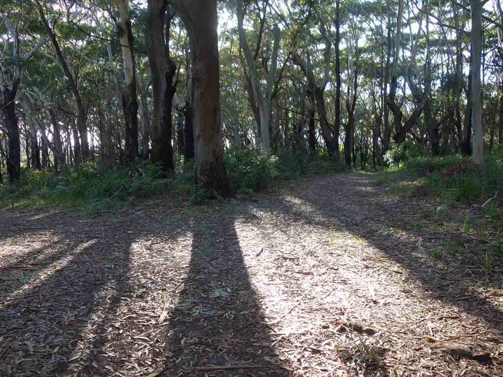
Turn left to head towards Govenor Head
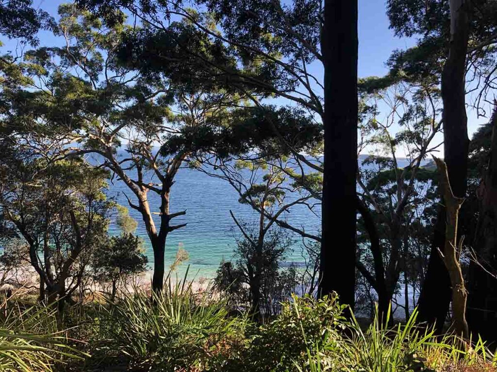
View down to the bay
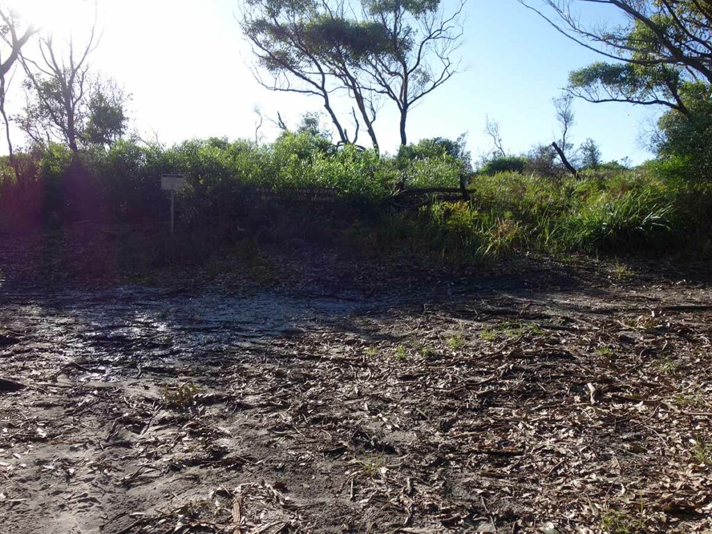
Turn towards Govenor Head

Bowen Island as viewed from Governor Head
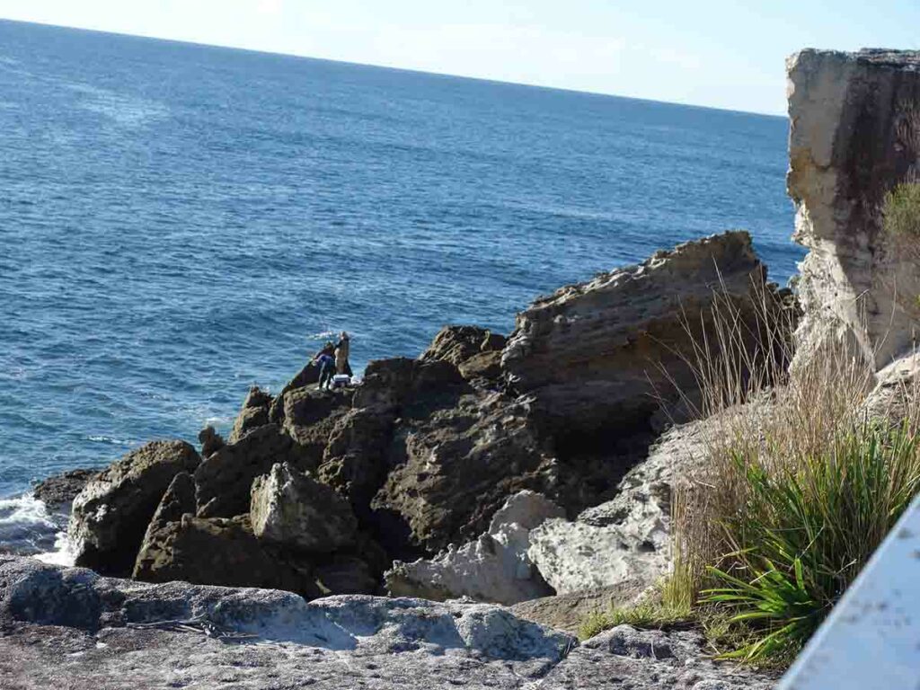
Rock fisherman below the lookout at Governor Head
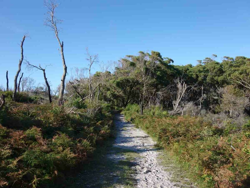
Trail example
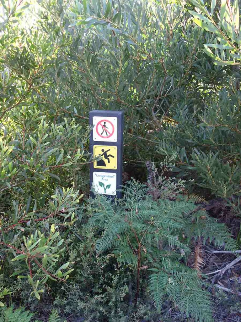
Warning signs
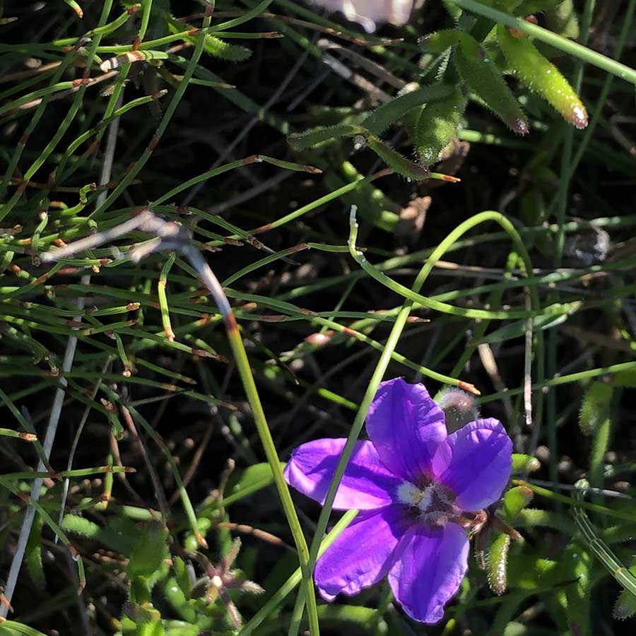
Oh so pretty
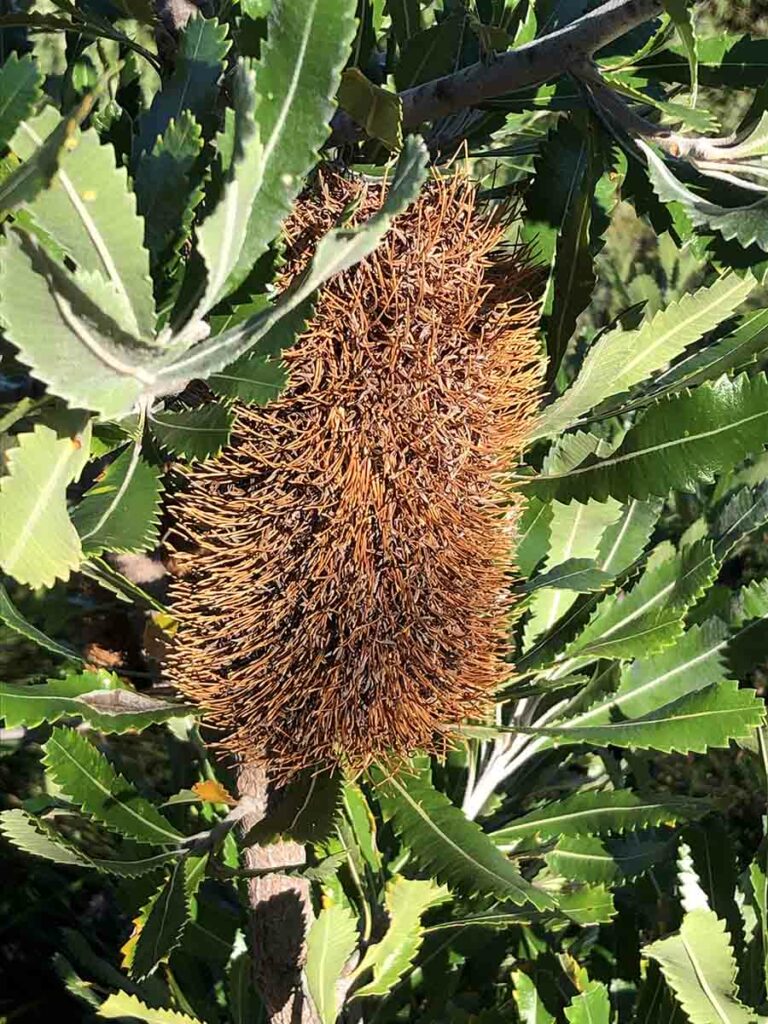
Spent Banksia flower
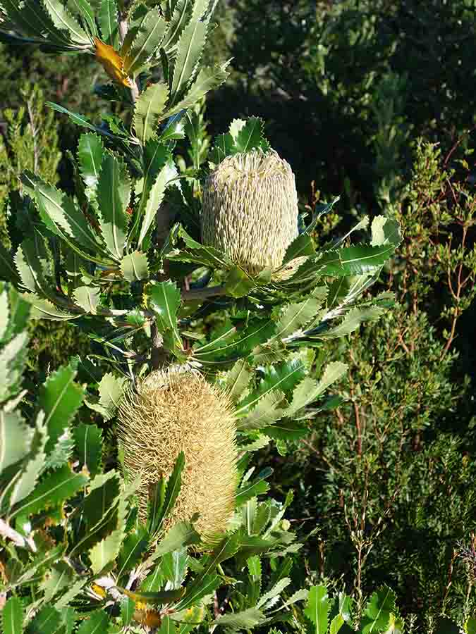
Banksia in full flower
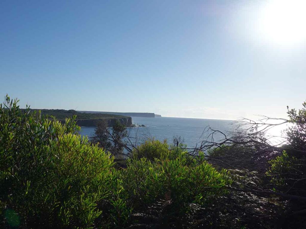
View north towards Point Perpendicular on the north head
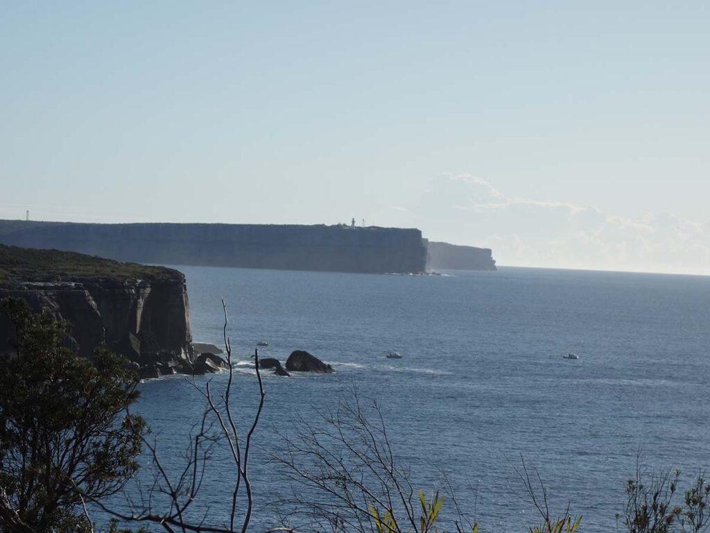
View to the lighthouse on Point Perpendicular
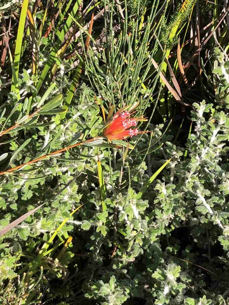
Lambertia Mountain Devil
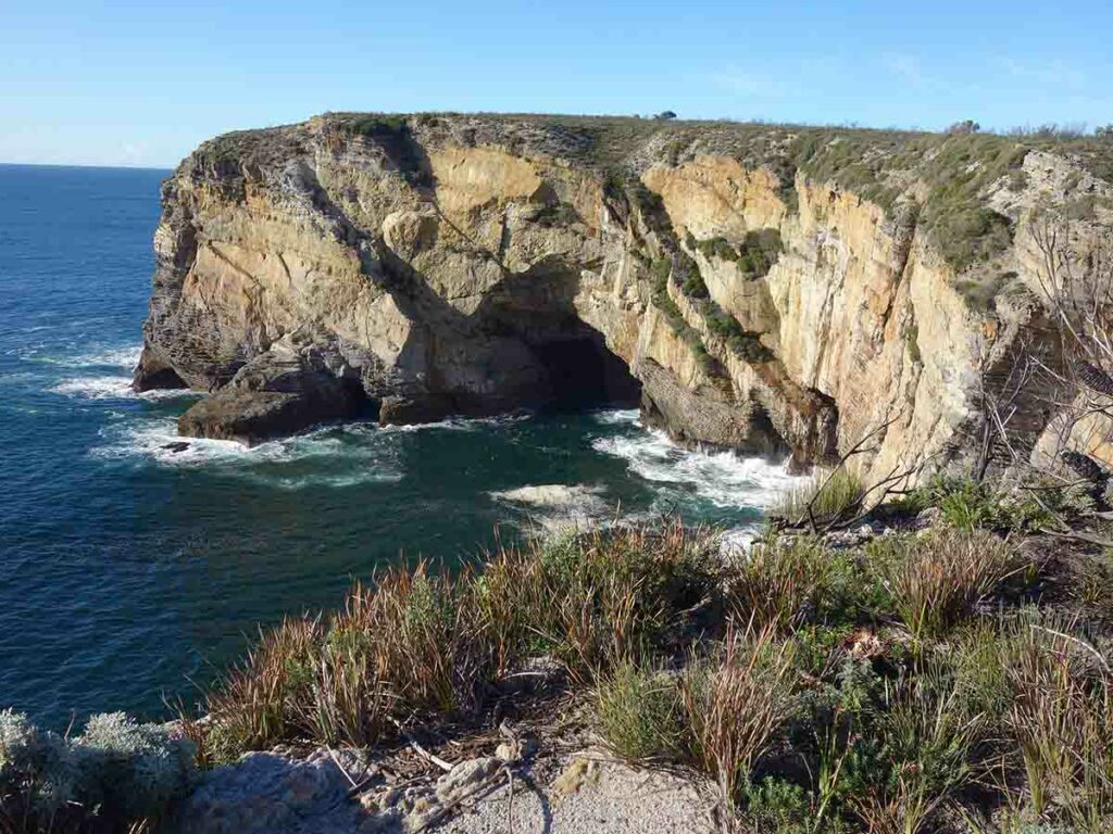
Devil’s Elbow
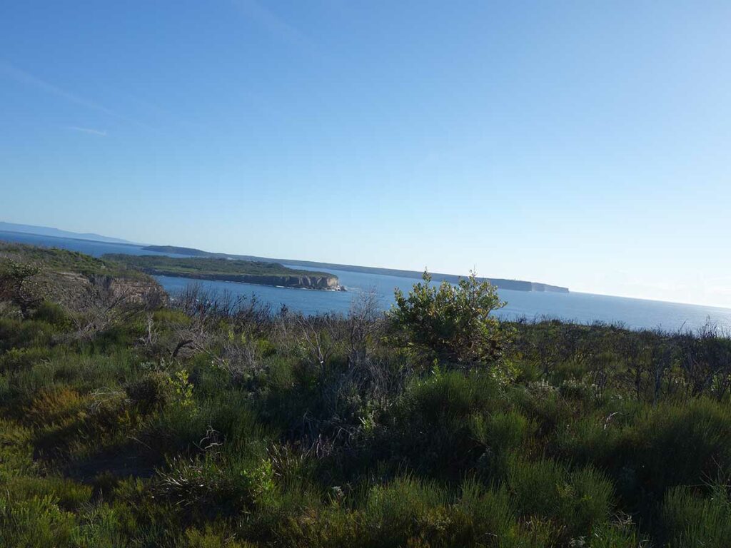
Views back to the ocean
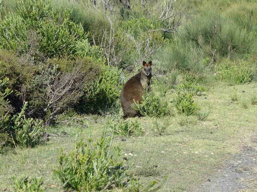
Fat wallaby on the side of the trail
And off they go
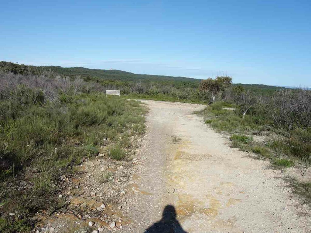
Turn right and head down hill
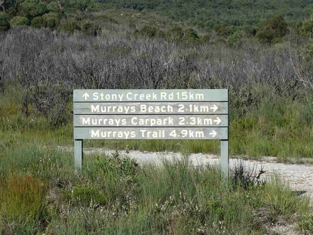
Head towards Murrays car park
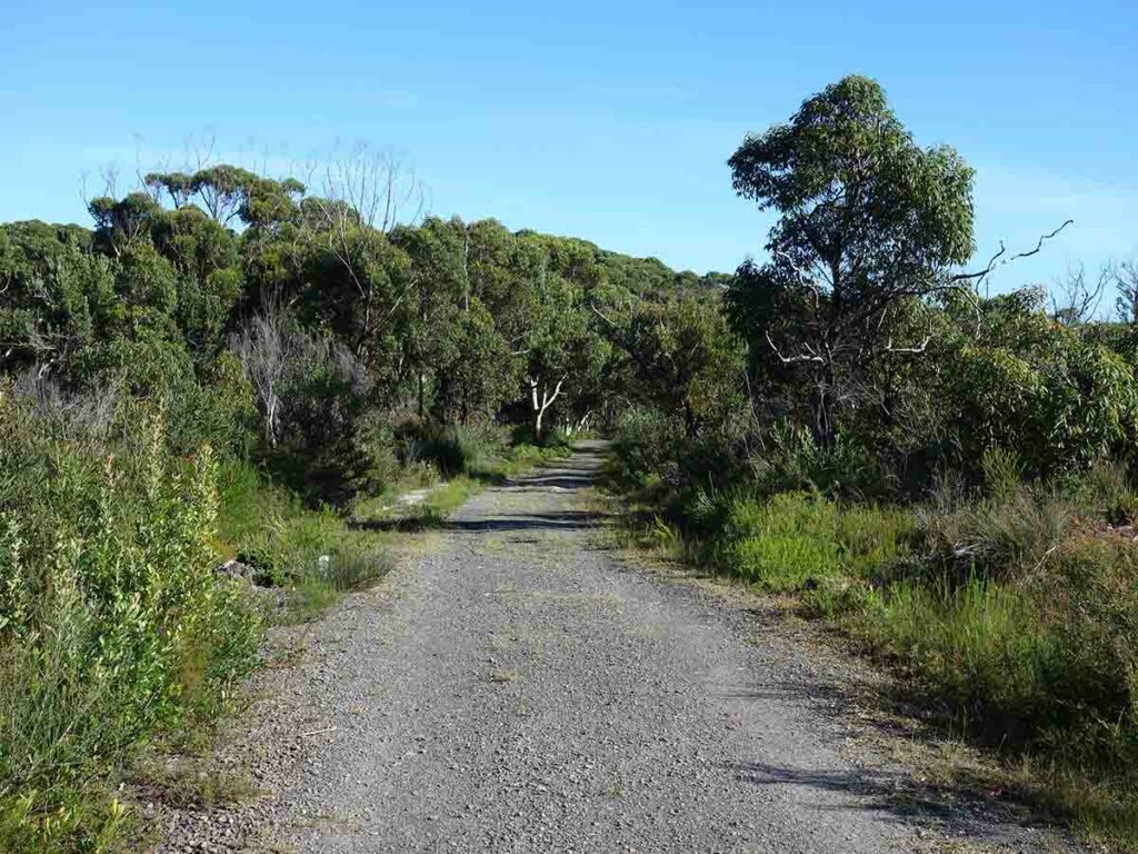
Heading back into the trees
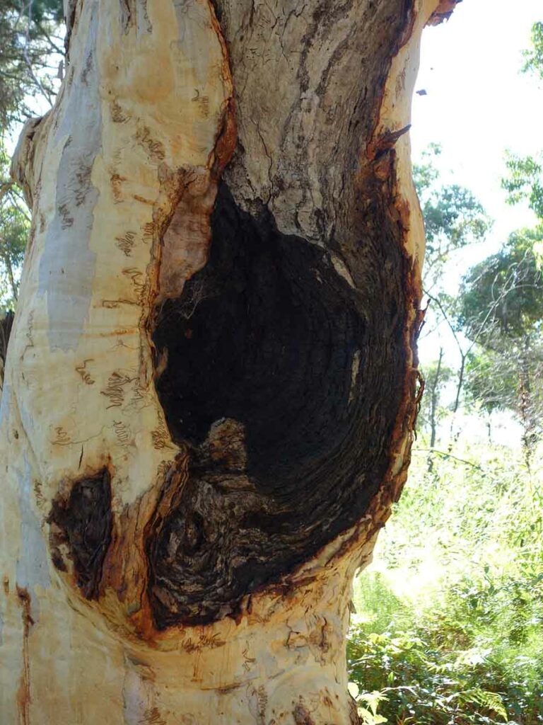
Tree hollow
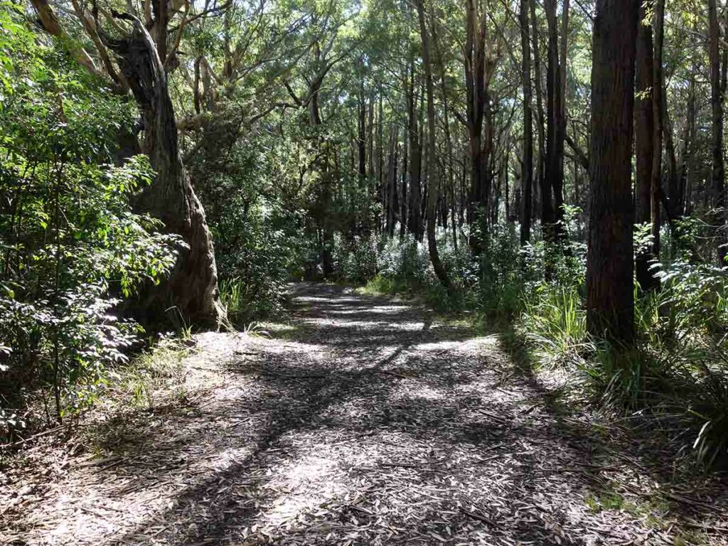
Through the forest
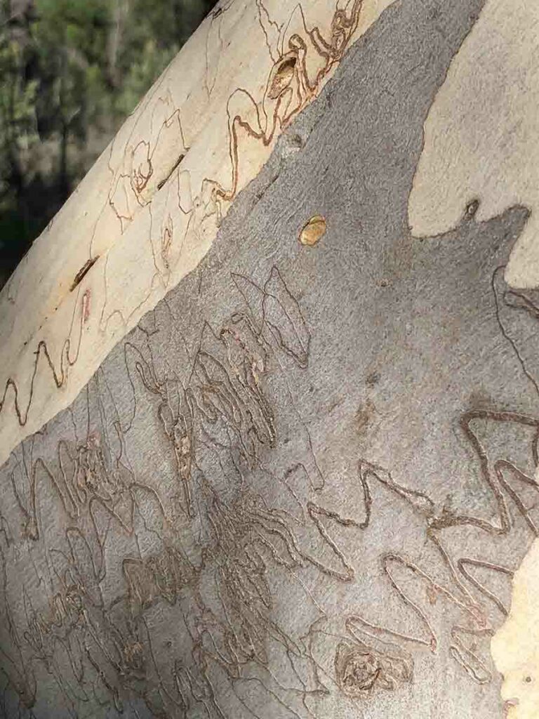
Scribbly Gums
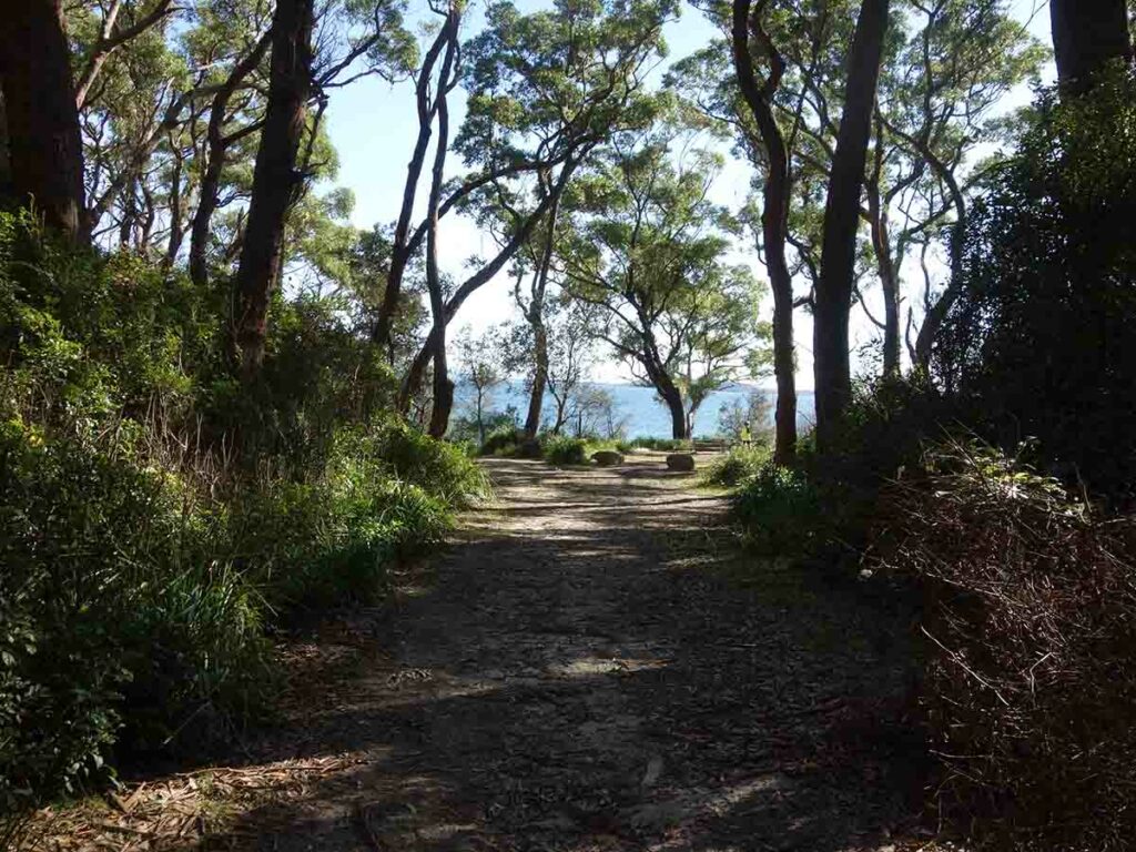
Back to Murrays Beach
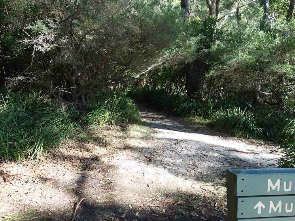
Heading back to the car park
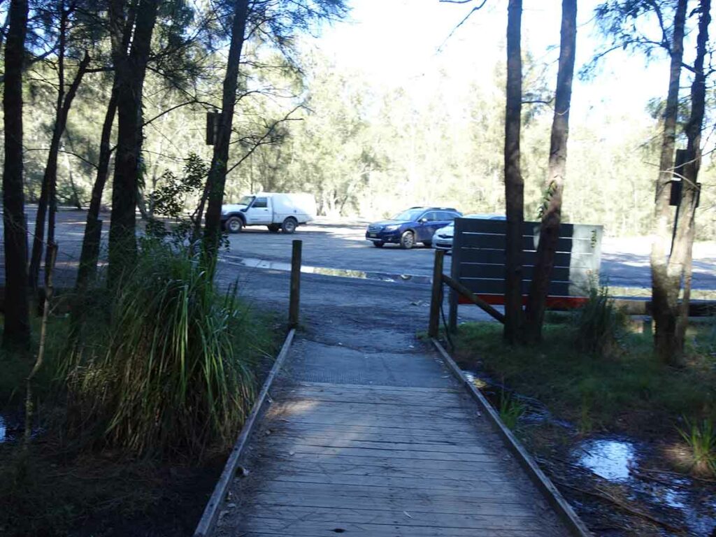
Back to the car park
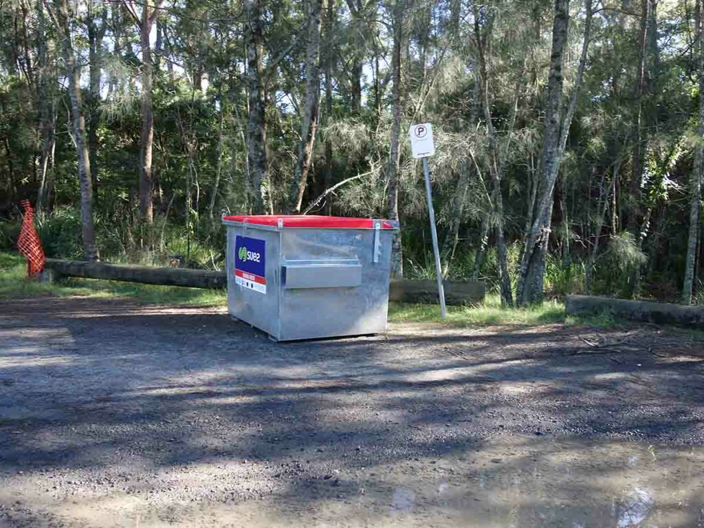
Rubbish bin at Murrays
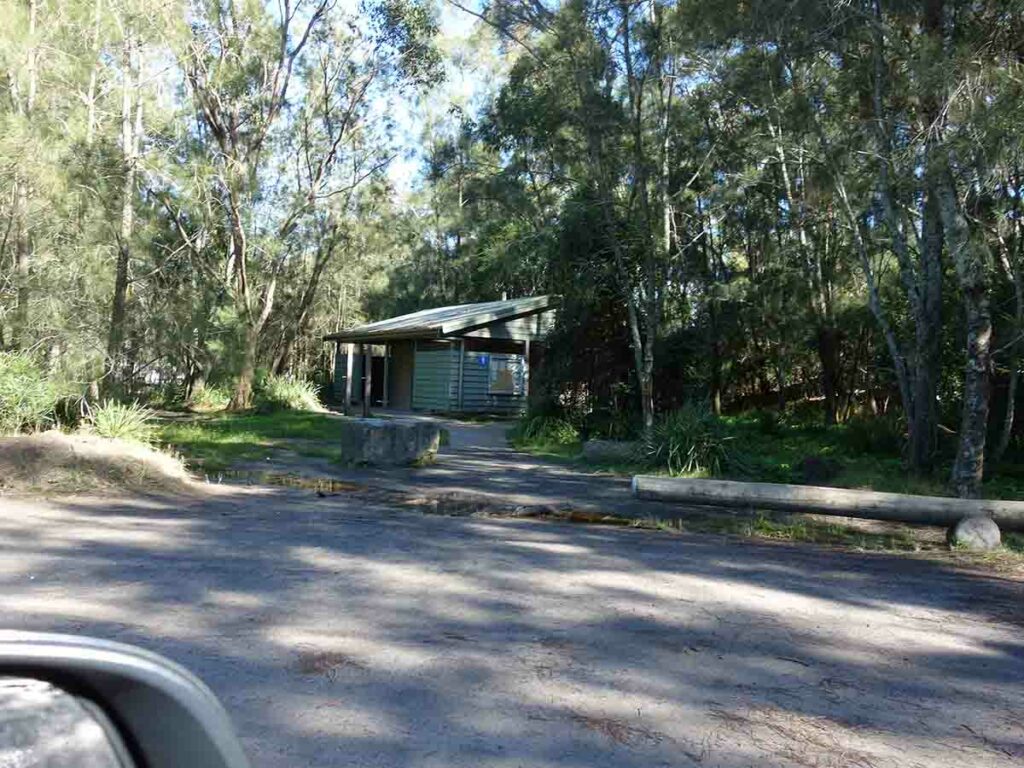
Murrays toilet facilities
Trail Videos
This short video contains photos and video from our walk to show you the walk from start to finish including videos at the lookout platform on this walk
Getting There
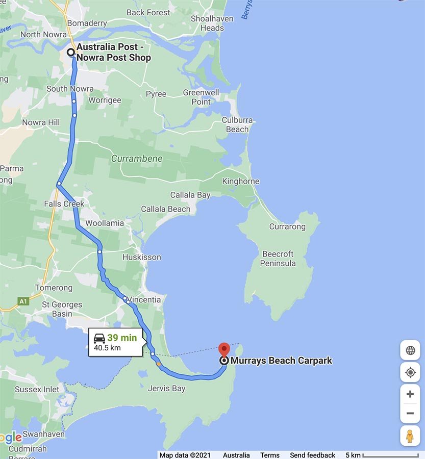
Google map from Nowra to the trailhead. From Nowra this about a 40km/40 minute trip
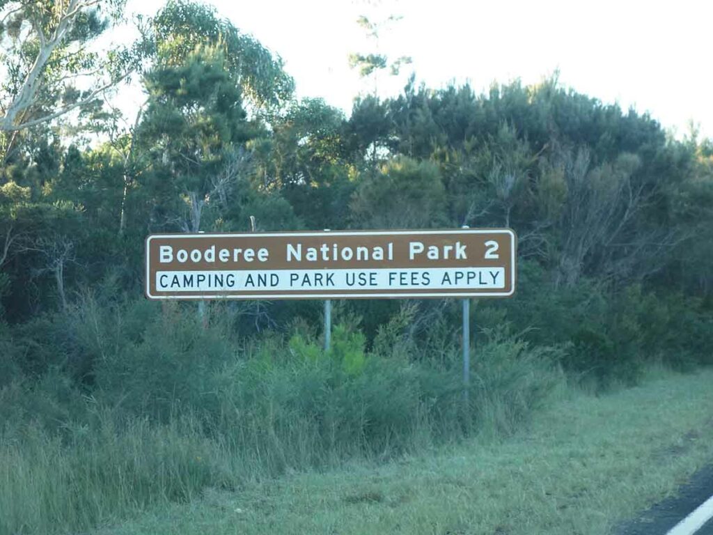
Heading to Booderee National Park
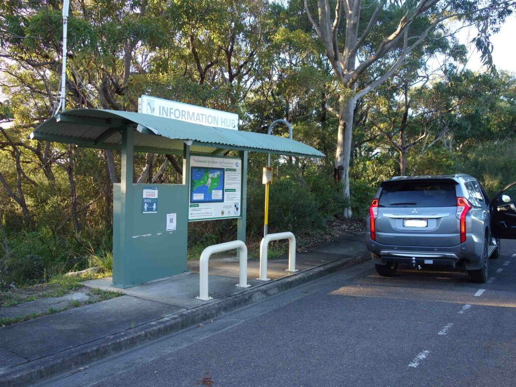
Information centre at park entry
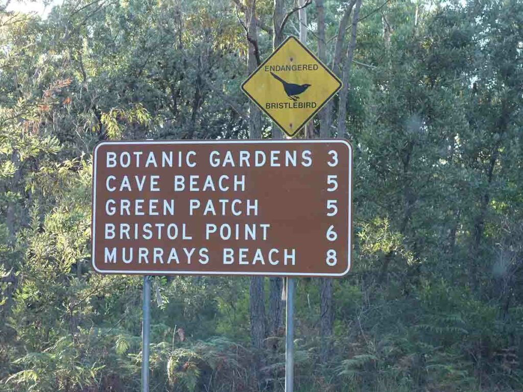
Follow the sign to Murrays Beach
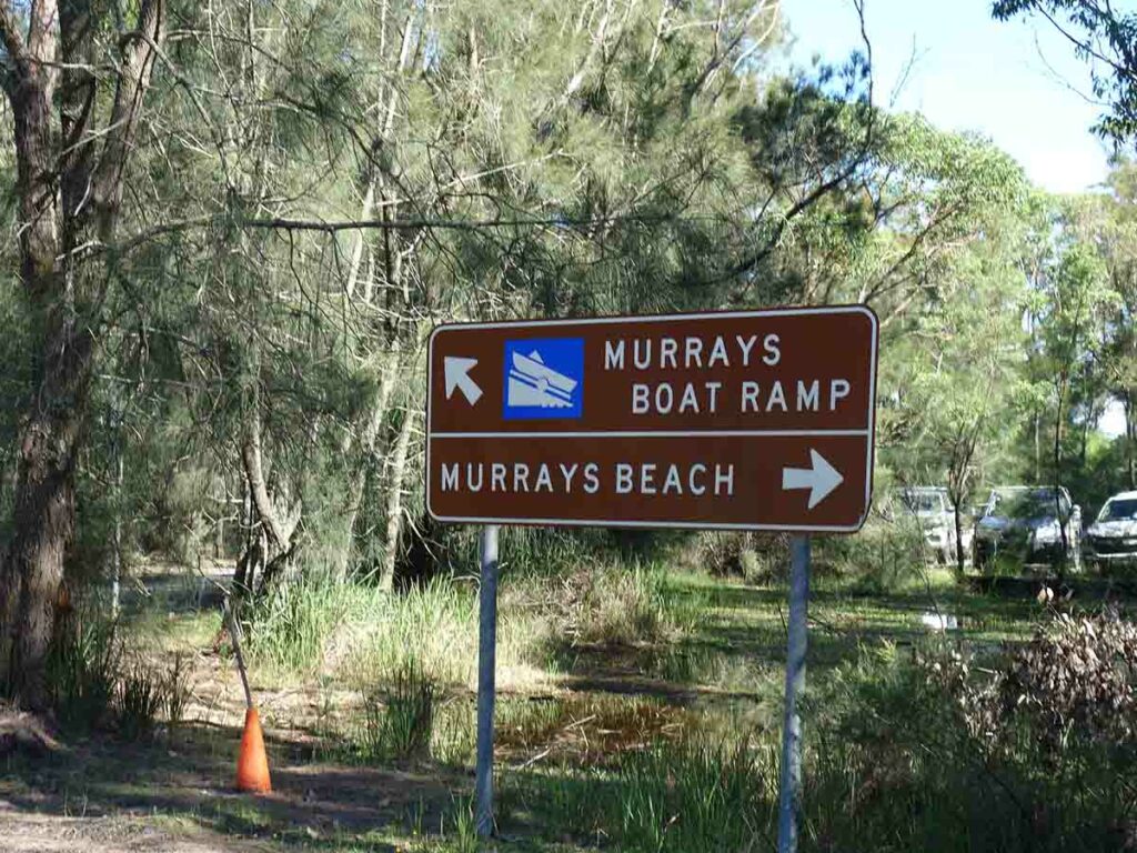
Turn towards Murrays Beach
Things to Know
- Phone: There is variable phone signal on this track (Telstra)
- Water: You need to bring your own water
- Toilets: There are toilets at the Murrays Beach car park as well as nearby Green Patch
- Trail: Most of this trail is on management road with a smalls section on formed trail at the start of the walk
- Dogs: No dogs allowed
- Other:
- The section close to the cliffs is exposed with big drop offs so keep one eye out on younger children
- Parts of this trail are in full sun so bring a hat
Disclaimer
This walk was undertaken by the team from Australian Hiker