Dead Horse Gap Walking Track NSW (11.4km)
Kosciuszko National Park
Nearest Town
Thredbo Village, NSW
Starting Location
Trailhead approximately 6km past Thredbo Village on the left side of Alpine Way
Finish Location
Trailhead approximately 6km past Thredbo Village on the left side of Alpine Way
Best Time of the Year to Walk
Late November to late March
Dead Horse Gap Walking Track Review
Dead Horse Gap is a strange name for a hiking trail and one that apparently originates from a reference to horses that sometimes became trapped and died in this area during unexpected snowfalls. This walk starts from the same trailhead as the Cascade Hut Walking Trail located along Alpine Way in Kosciuszko National Park but provides a very different experience including a ‘wilder’ landscape.
You start this walk my crossing Alpine Way and heading down past the Thredbo River before crossing the river itself. At the time we did this walk in February 2023, the small bridge was a temporary structure which I assume will eventually be replaced with something more substantial. This little temporary bridge has a load limit of two adult hikers so keep that in mind if you are travelling in a larger group. Shortly after this bridge you come across a series of park signs that provide directions and distance information for both this walk and also the Thredbo River Walk which also starts at this location.
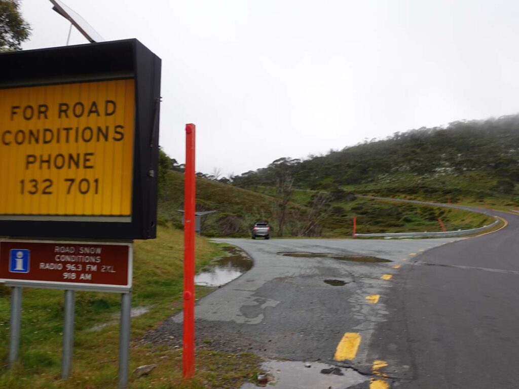
One thing to note here is that the trail distances vary on this hike depending on the source you use. Some of the older signage at this point quotes 4km for each direction but you move further up the trail and come across signage that adds some extra distance. My GPS measured a total return distance on this trail of 11.4km which is longer than expected so make allowance for this when you’re planning your day.
This walk is very much a wild and remote walk which was bit of a surprise because the other side of the Rams Head Range which is what you are ascending, is very much a barren alpine grassland environment. The trail itself has just about every trail tread surface available from metal mesh, timber boards, plastic mesh of varying types, and natural formed surface which includes rock as well as some soil and muddy sections. One thing I have found that on the less well known trail in Kosciuszko national park is that the worn trail tread is on the narrow side for people with large feet and that means in my case I’m moving a bit slower trying to find good footing. Those with average size feet won’t find this an issue.
The first leg of this walk is almost an uphill climb all the way with very small sections of flat surface every so often. By far the steepest section is the first kilometre which has a lot of timber stairs but from there on there are more natural step ups. Signage on this trail is limited to distance markers but apart from that you are following a well worn pathway that provides views up the the back of the Rams Head Range. You eventually pass the tree line where the trees open to grassland and its here the wind cuts in and reaches a peak at the high point. The strong winds continued until we reached the main trail to Mount Kosciuszko – if you turn right you head down to the chairlift at Eagles Nest or if you turned left you head on towards Mount Kosciuszko. Still on the wind, it was very, very strong which isn’t unusual in this part of the alps so bear that in mind.
This is again where the distance signage tends to vary as the walk from the turnoff down to Eagles Nest doesn’t seem to be factored in which adds around 1km in total. All up, the ascent to Eagles Nest took us 2.5 hours.
Eagles Nest provides an option for a coffee break or a lunch but it’s worthwhile checking the opening time which on the day we did this walk was 11:00am. We arrived early and had our lunch with us so after using the toilet facilities and eating our lunch we headed back towards Mount Kosciuszko and turned right onto the Dead Horse Gap Track.
The descent was quicker than the ascent and all up our trip including lunch took us about 5.25 hours so depending on your pace and your stops to take in the scenery, its definitely possible to do this walk faster. Animal wise we didn’t see anything on this day including birdlife but its likely they were hiding away from the really intense winds we encountered. Vegetation wise there were plenty of wildflowers to see scattered along the trail in what is essential dense bushland amidst Eucalyptus forest.
This walk can be combined with other walks in this area including the Kosciuszko Summit Walk. Alternatively you can catch the chairlift down to Thredbo Village and then walk the Thredbo River Walk back to your car.
All up this is a great walk but definitely one for fitter hikers.
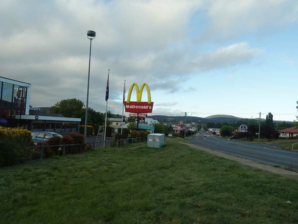
Maccas at Cooma, our usual breakfast stop
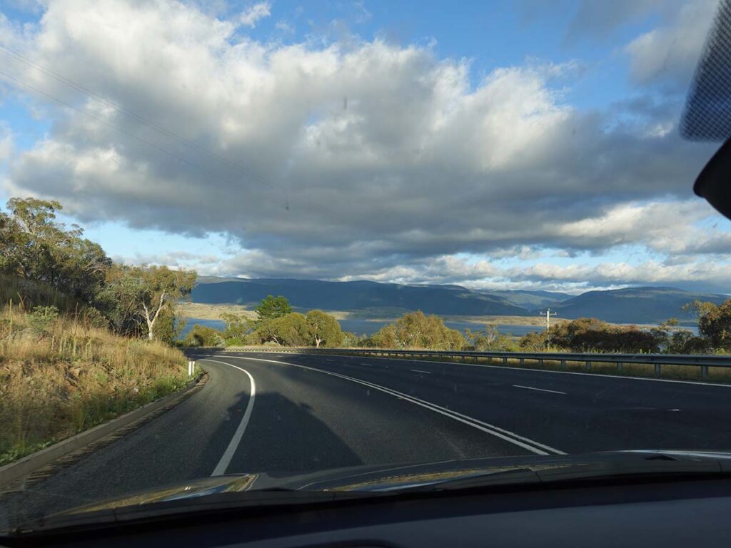
Approaching Lake Jindabyne

Drive past both entry points for Thredbo Village
Pull into the car park for the Cascade Hut Trail
Cascade Hut Trail information kiosk

Walk across the road and turn left downhill

Away we go on Dead Horse Gap

Thredbo River at the start of the trail

Temporary Bridge ( 2 large adults at a time!)

Trail signage. We measured the distance one this trail at 11.4km on the day we did this walk so be prepared for a longer walk than you think you are doing

Trail example at the bottom of the trail. The first kilometre has a majority of the stairs on this trail

Stone trail tread

Billy Buttons in flower

Seating on Dead Horse Gap Trail 1 of 2

Old trail marker on the Dead Horse Gap Trail

This trail is also part of the Australian Alps Walking Track and this yellow triangle is an AAWT trail marker

Whalenbergia in flower

Sawfly Larvae on a Eucalyptus leaf

Narrow trail tread, not made for size 15 feet!

Mesh trail tread

Looking up towards the Ramshead Range

Wild and rugged landscape

Seating on Dead Horse Gap trail. In this instance they have used an old ski lift chair to good advantage

Trail repair of the Dead Horse Gap Trail not far above the tree line

‘Cheese grater’ trail tread (you dont want to face plant on this type of trail!)

Ski trail signage at the highest point on the this trail

Final descent to Eagles Nest which is just visible in this image to the upper right

Turn off on the the Main Kosciuszko Trail. Left to Mount Kosciuszko or right to Eagles Nest

As Gill makes her way to Eagles Nest she was struggling to keep her footing with the strong winds

Chairlift at Eagles Nest. There are toilet facilities just inside the entry to Eagles Nest

Summer trail signage at Eagles Nest

Turn left onto the Dead Horse Gap Trail on the return

Back we go

Panorama view approaching the tree line on the descent
Great views on the descent

Skeleton Eucalyptus

Final descent to the car park

Blue Daisy

Almost back to the Dead Horse Trail Head

Back to the Dead Horse Gap Trail Head
Trail video
This short video contains photos and videos to show you the walk from start to finish
Getting There
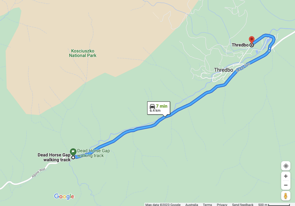
Google Map from Thredbo Village to the trailhead which is a distance of approximately 6.5km
Things to know
- Phone: Phone signal is variable on this trail and mainly at higher altitudes (Telstra)
- Water: Bring your own water. Natural water sources are limited
- Toilets: There is a toilet at Eagles Nest at the top of the the chairlift
- Trail: This walk is on formed trail
- Dogs: Dogs not allowed
- Camping: Camping allowed (Check with Kosciusko National Park on prohibited camping zones)
- Other:
- Unless you are into snow snowshoeing or skiing, do this walk late November to late March. Even then, check the conditions just in case
- Check the weather conditions – snow is possible in most months of the year
- Bring a broad brimmed hat, long sleeved top and long pants as the UV index can be brutal in the Alps (see below)
- Wear long sleeves and pants to ward off the March Flies
- This trail can be potentially done as a loop trail by combining it with the Thredbo River Walk
Disclaimer
This walk was undertaken by the team from Australian Hiker