Callum Brae Nature Reserve Loop ACT (4.64km)
Canberra Nature Reserve
Nearest Town
Narrabundah, ACT
Starting Location
Narrabundah Lane, pullover area
Finish Location
Narrabundah Lane, pullover area
Best Time of the Year to Walk
Year round
Callum Brae Nature Reserve Loop Review
By no means is this a bush walk but instead it’s designated as one of Canberra’s Heritage walks, and one that had slipped my notice for many years. Having spent time trawling for new Canberra walks, I came across this one and realised I pretty much skirted my way around this area doing all the other adjacent bush walks.
This walk is through the old Callum Brae property that continues to be a full working farm and is now part of the Canberra Nature Reserve. This walk is a bit of a choose your own adventure. At the start do you go left or do you go right? It’s your choice but I would suggest you go left and do the walk in a clockwise manner, it just seems to make sense. The signage on the first half of the track up until the old Homestead is non existent but just remember that you are doing a walk that is essentially lollipop in shape.
Hit the first ‘T’ intersection and continue left. From here on in you keep veering right until you come back to the ‘T’ and you will be returning back to the trailhead the way you came out. Along the way you will come across the old homestead and interpretive signage. The homestead itself is not accessible to the public unless you’re on a designated tour which is arranged from time to time. When you leave the gate of this property, you’ll start to see the orange directional arrows. Continue along this road and you will eventually make your way to the high point of this walk which is near the quarry fence. From here you can see over towards the the ACT/NSW border and Mount Jerrabomberra which is on the other side of the open grassy plain below.
The trail heads downhill before going up again slightly and past the Canberra water infrastructure. Once you head past the small buildings on the left, you have a choice to make. You can turn right around 100 metres past the buildings or keep on going and take the next right. You will essentially end up back at the starting point but by taking the second right you will be travelling closer to Mugga Lane and and will have greater traffic noise.
Another reason for taking the first turn is that you pass through Eucalyptus bushland with a number of old remnant Yellow Box and Red Gum trees. For me this was a big surprise because the normal practice in old rural Canberra was to chop down any tree in sight. These old trees were just everywhere and with them lots of nesting hollows that on the day we did this walk were full of nesting parrots and cockatoos. This is what this walk is all about, the birds!
This walk is close to the centre of Canberra so it’s a short drive to get there and overall an easy and pleasant way to spend 90 minutes.
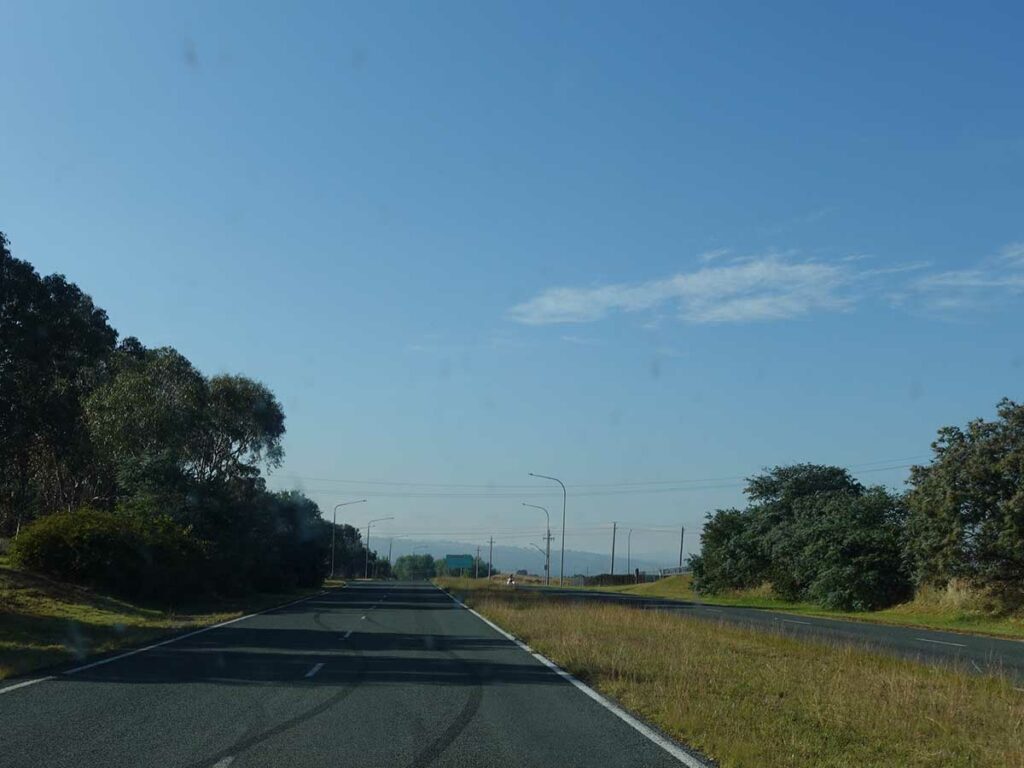
On Jerrabomberra Avenue about to turn right onto Narrabundah Lane
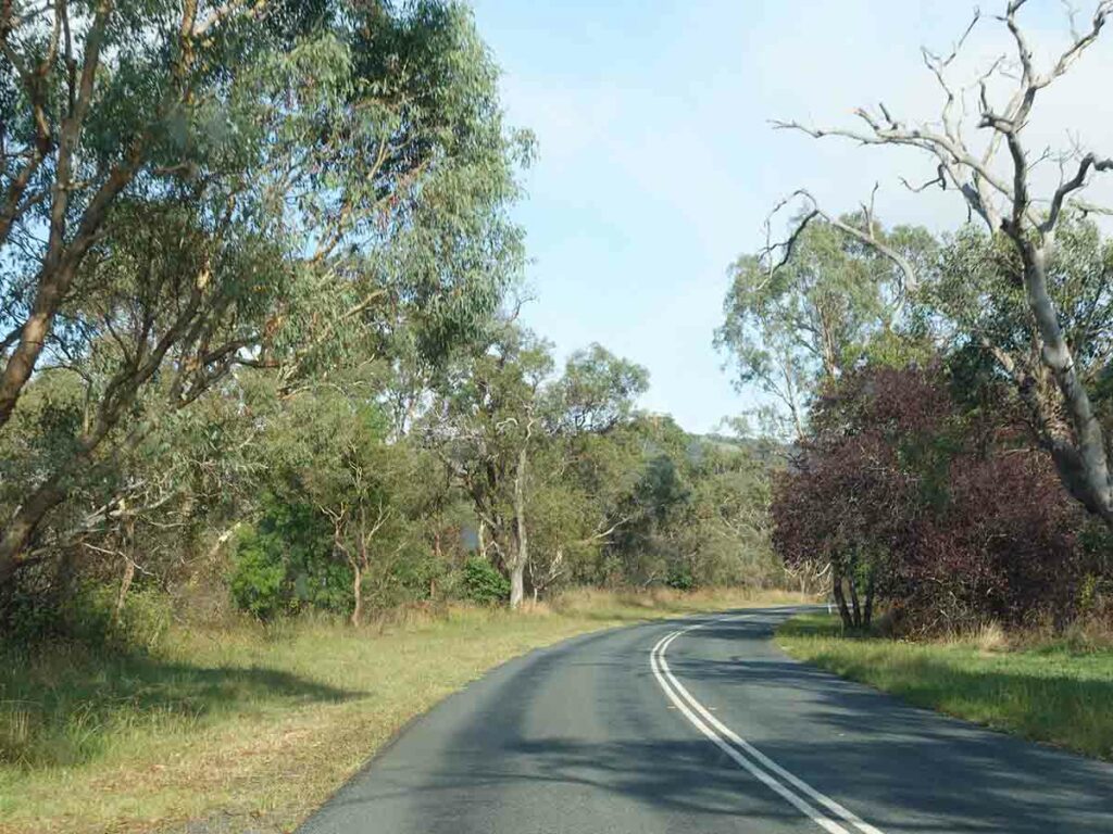
Heading along Narrabundah Lane, the pull off area is on the left
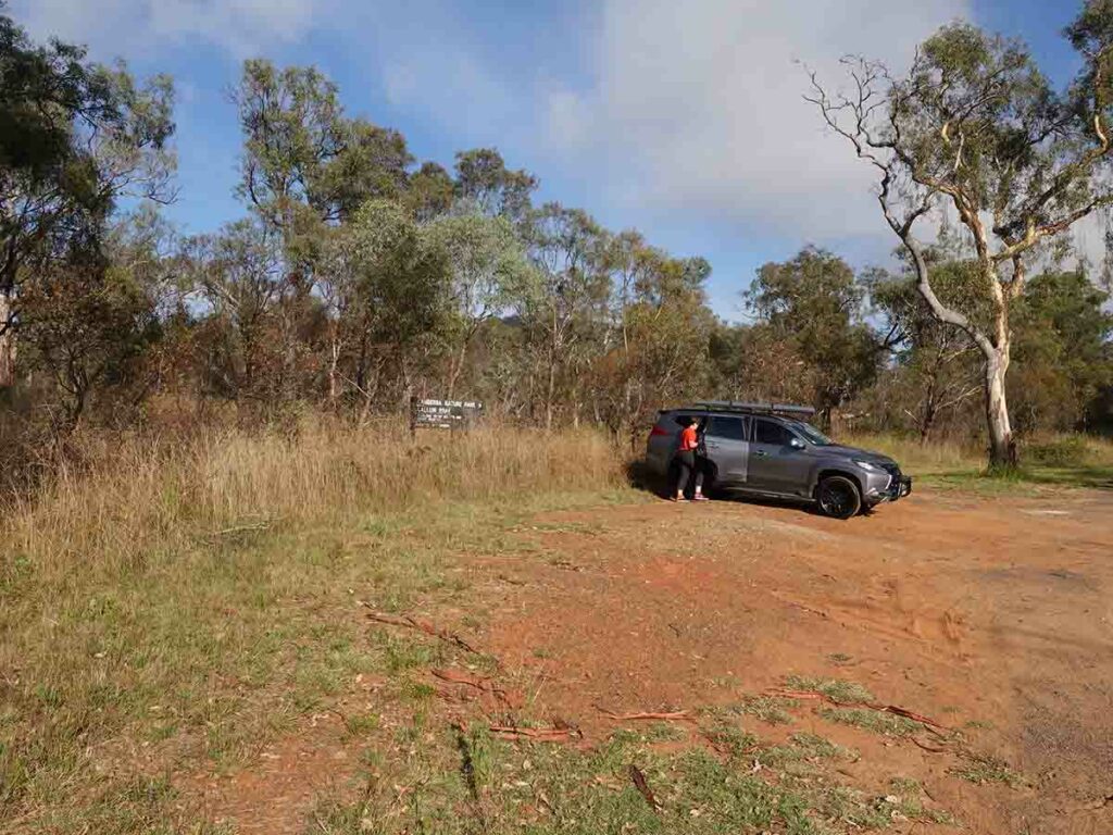
Small off road car park for Callum Brae
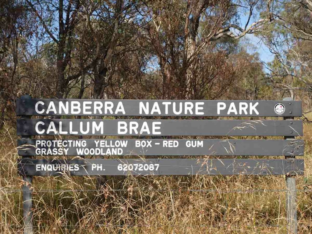
Callum Brae Nature Reserve sign
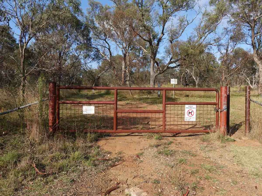
Entry gate into Callum Brae Nature Reserve
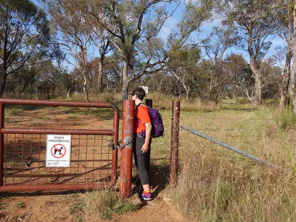
Through the entry stile into Callum Brae
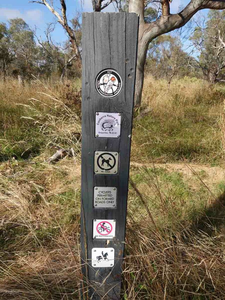
Cyclists and walkers only
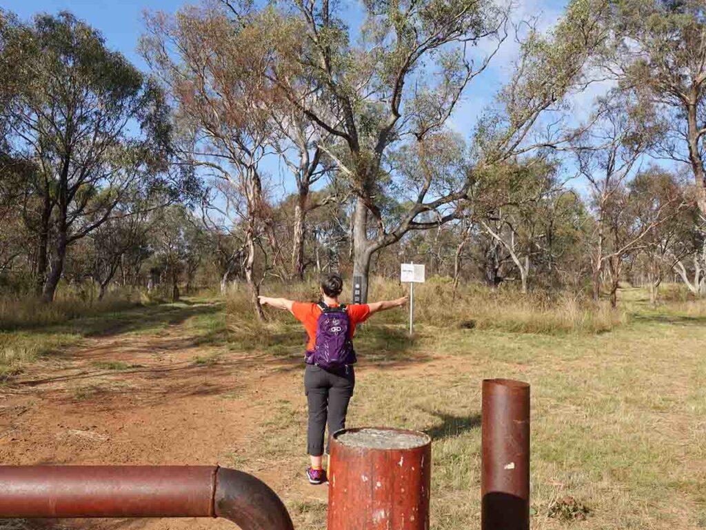
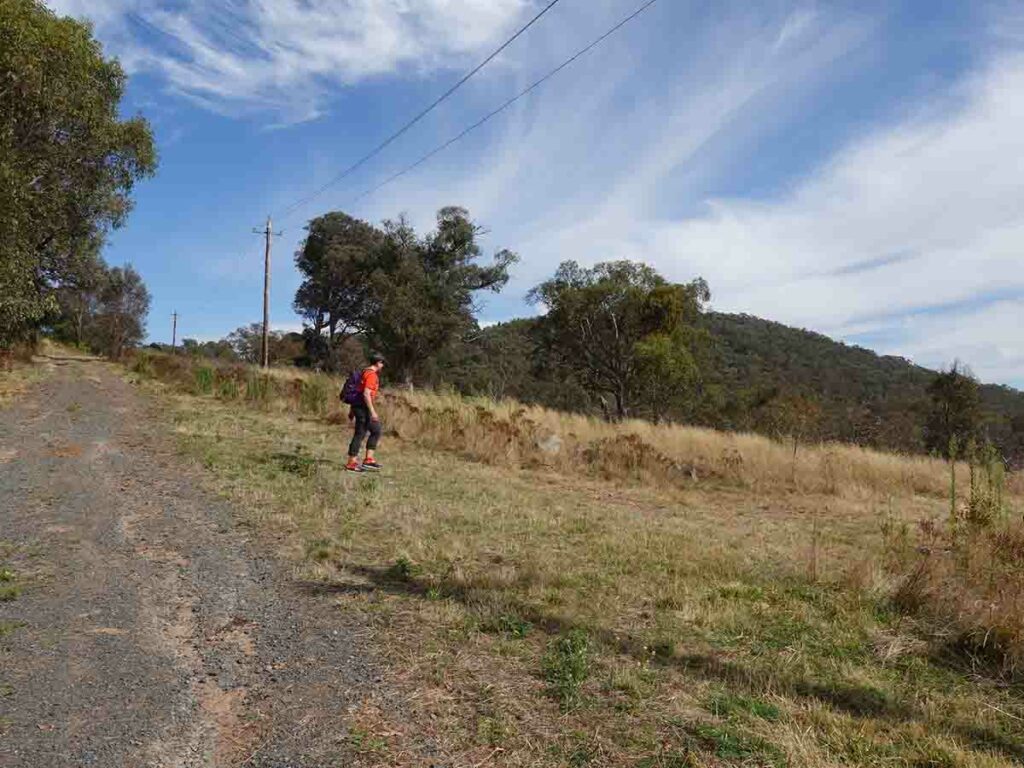
Pick a direction at Callum Brae. This walk is a loop and we suggest you go anti clockwise so take the left hand option
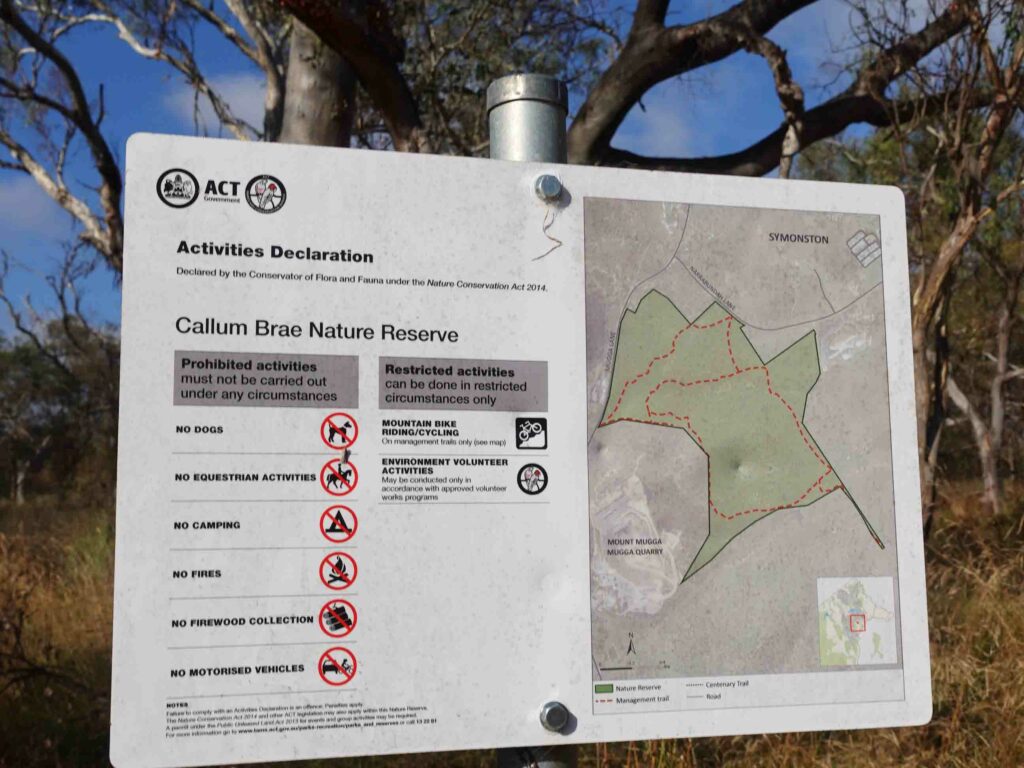
Callum Brae Nature Reserve Map at trail start
There are few trail markers at the start of this walk but just remember you’re doing a walk that is a loop. Turn left at the first ‘T’ Intersection then veer to the right. Worse case if you take the wrong road you will end up at the Therapeutic Goods Administration buildings which means you have gone too far
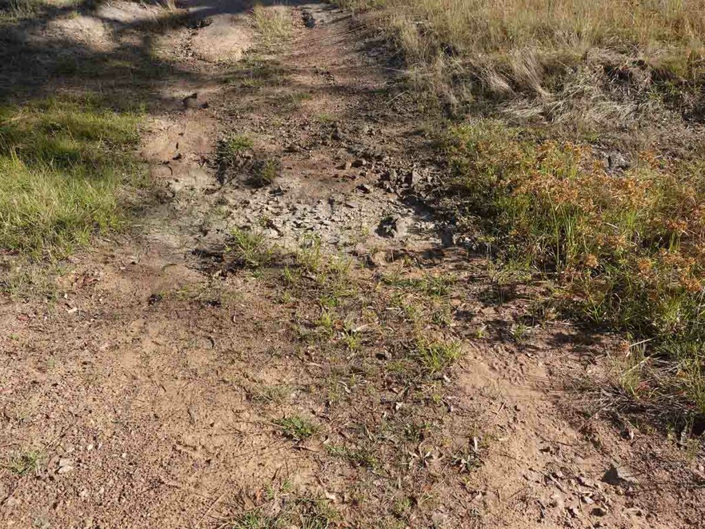
In heavy rains you will be walking through water
Approaching the homestead at Callum Brae
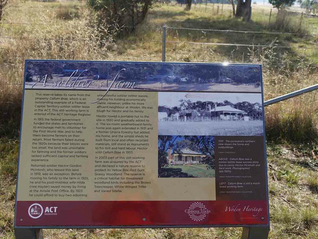
Interpretive signage at the Caullum Brae homestead
Callum Brae. This old farm is out of bounds on this walk but is occasionally accessible on organised tours
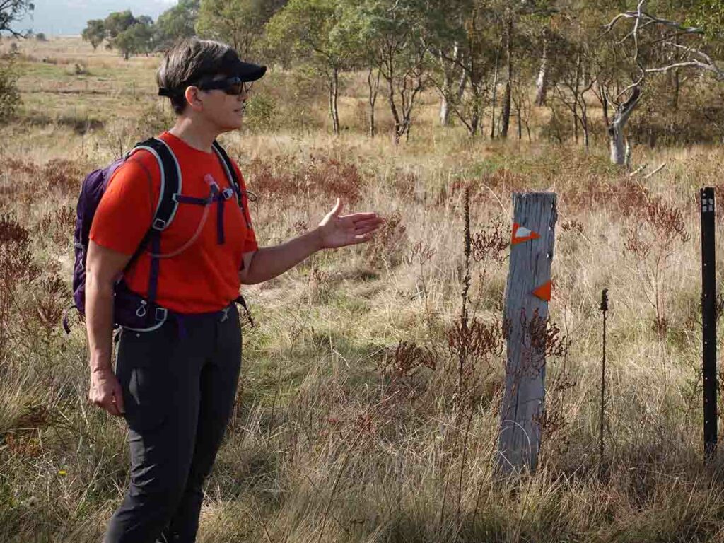
Trail markers appear near the homestead
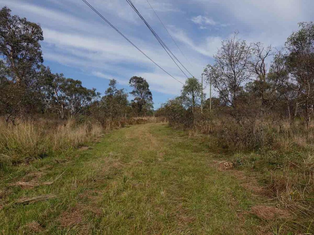
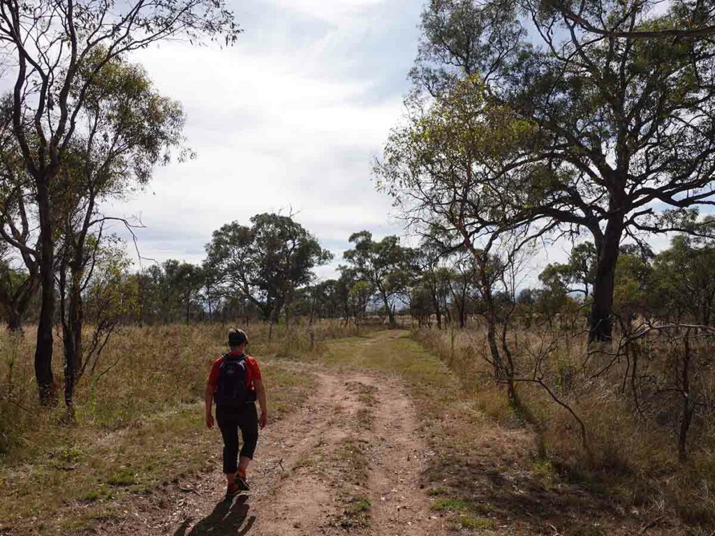
Trail example on Callum Brae
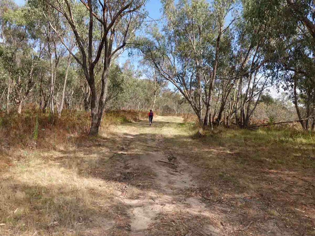
Trail example
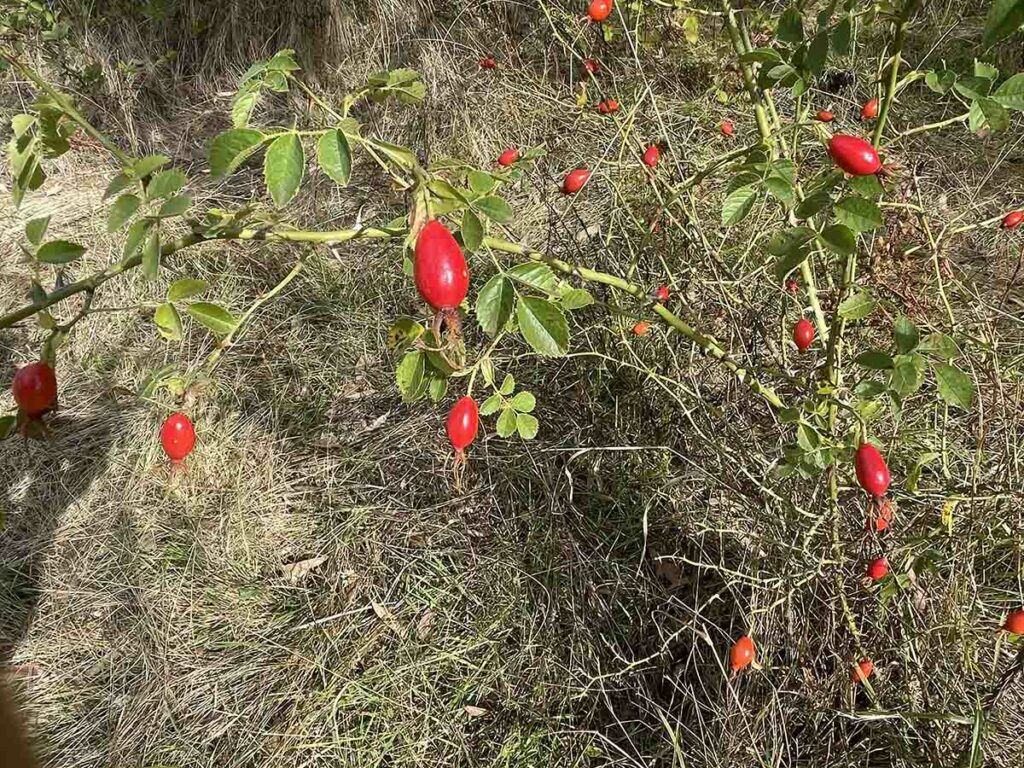
If you ever come across a wild rose bush look for the farmhouse, or at least the remains of one. There’s always a rose bush!
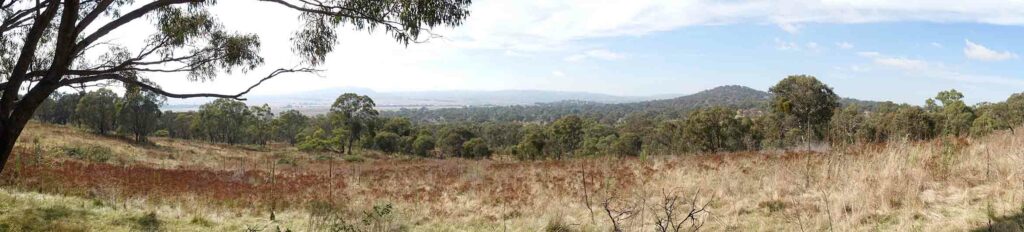
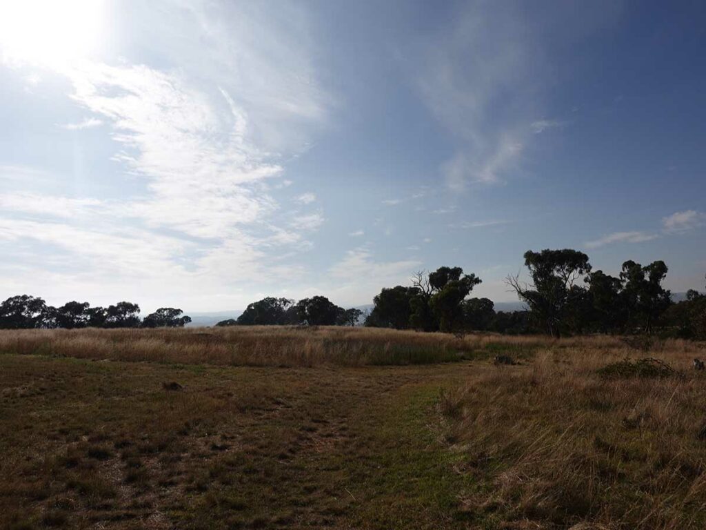
Panorama image near the high point on the trail. This spot looks towards Mount Jerrabomberra near the NSW-ACT border
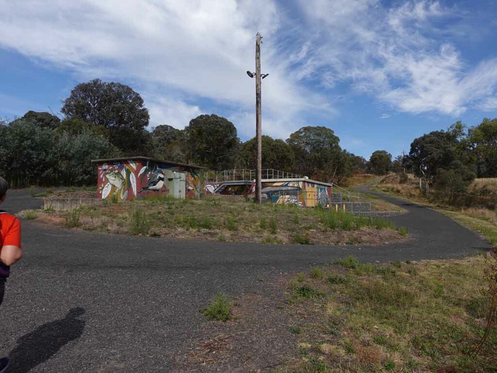
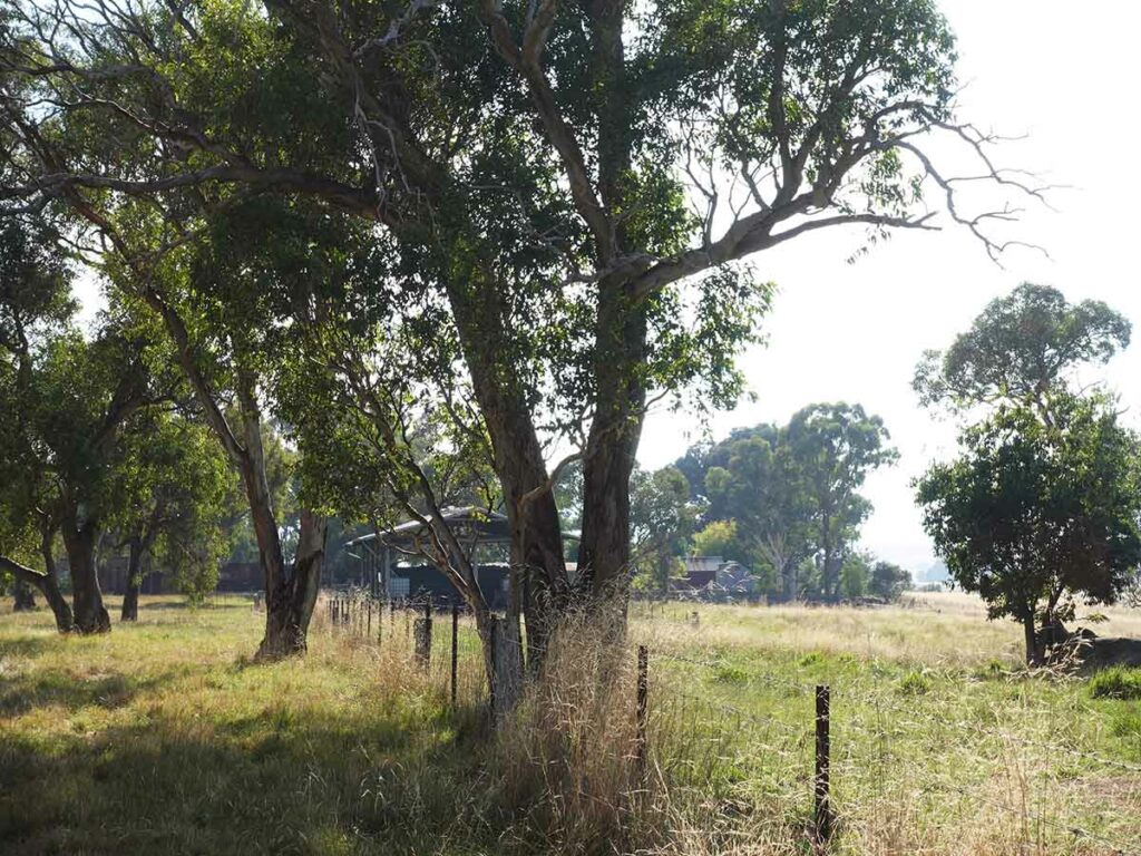
Approaching the water infrastructure
Turn right past the water infrastructure. You can continue on and take the next right but you will be walking closer to the road and will have the traffic noise
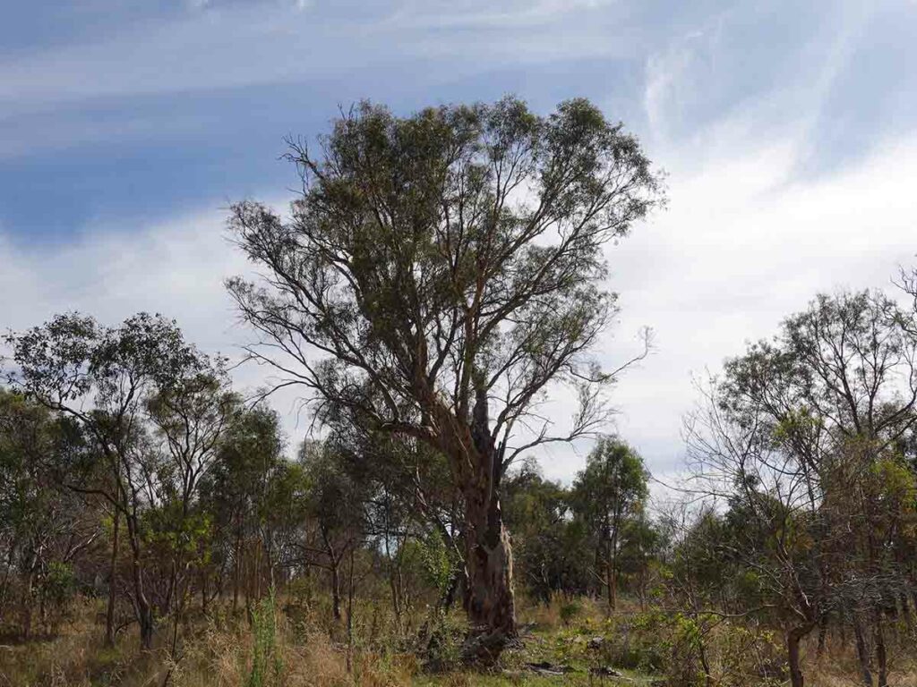
This walk is well know for its birdlife and this area has a large number of remnant Eucalyptus Yellow Box and Red Gum trees with suitable nesting hollows. On the day we did this walk there were parrots everywhere
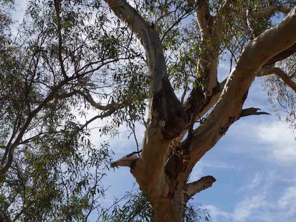
Cockatoo at nesting hole
Turn left and you are on the final leg of the return journey at Callum Brae
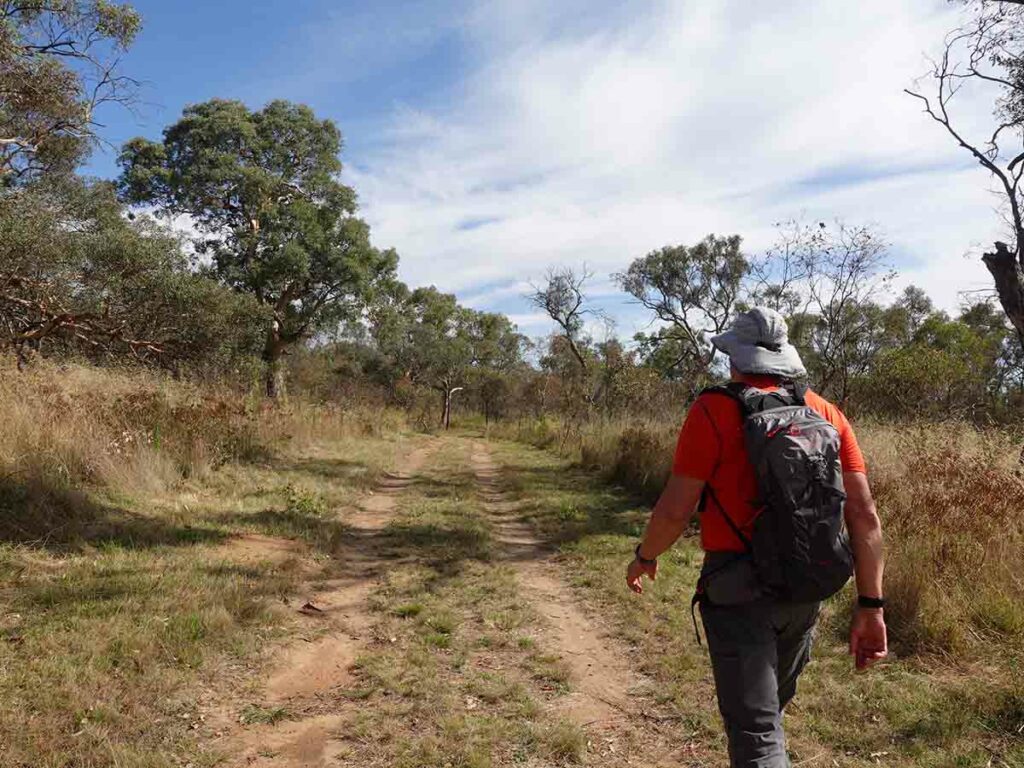
Tim on the Callum Brae Trail
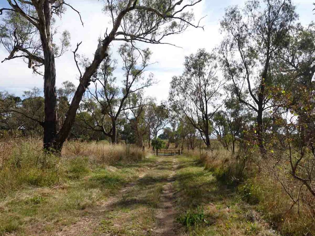
Approaching the trail gate
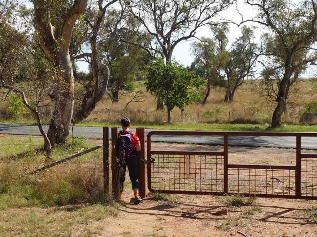
Leaving the reserve at Callum Brae
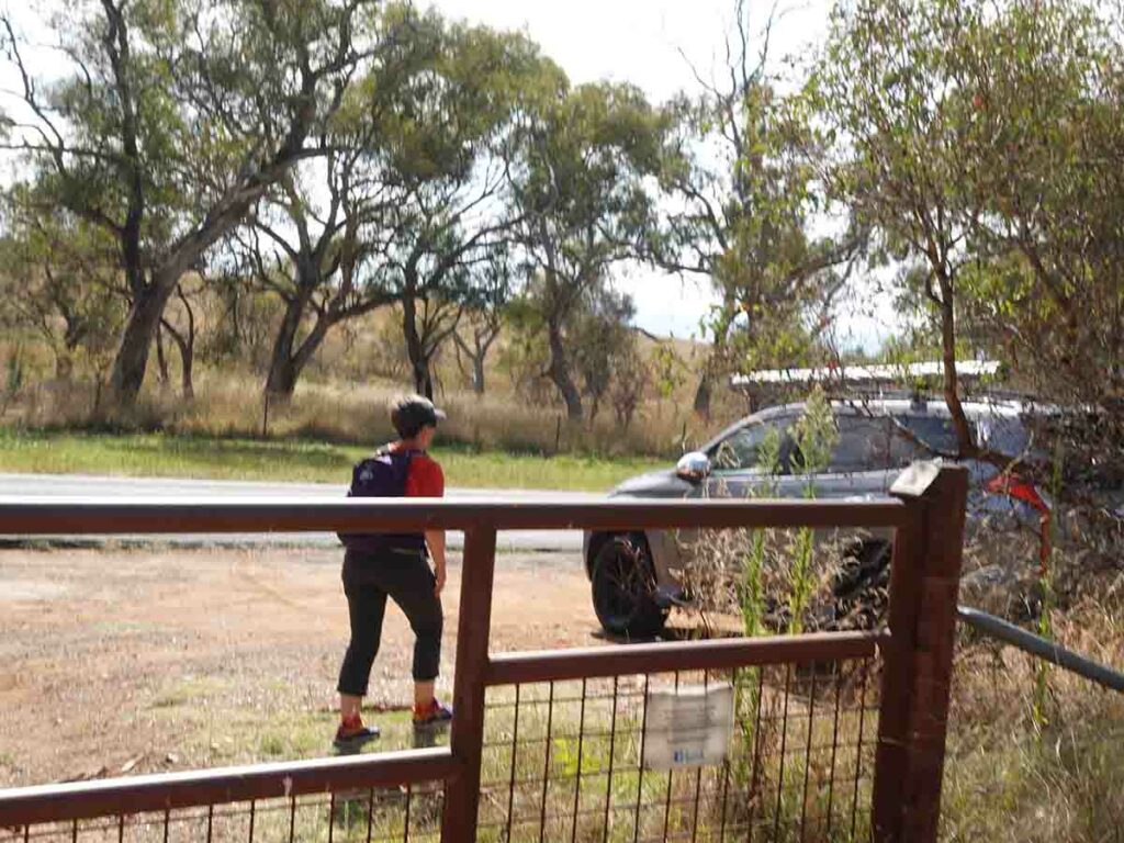
Back to the car park at Callum Brae
Trail video
This short video contains photos and videos to show you the walk from start to finish
Getting There
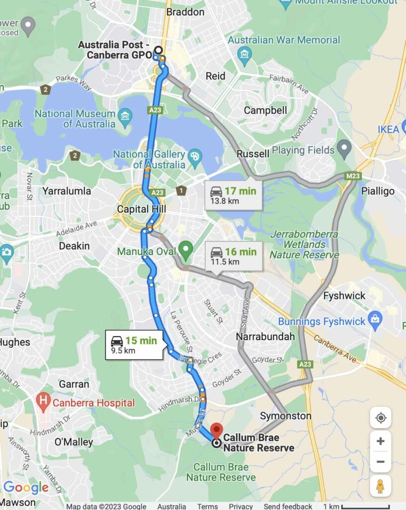
Google Map from the Canberra GPO which is a distance of approximately 10km
Things to know
- Phone: Phone signal is excellent, all networks
- Water: Bring your own water. Natural water sources are limited and only present after heavy rains
- Toilets: There are no toilets on this trail
- Trail: This walk is on formed management road
- Dogs: Dogs not allowed
- Camping: Camping not allowed
- Other:
- There is an old heritage farm on this trail which is only accessible by organised tour
- This trail is done as a loop. As you go past the Canberra water infrastructure and head towards Mugga Lane choose the first turn on the right (less than 100 metres past the water infrastructure). You have the option of continuing on and taking the next right turn but this will parallel Mugga Lane and you will pick up all the traffic noise
Disclaimer
This walk was undertaken by the team from Australian Hiker