Tharwa Explorer Walking Track ACT (3km)
Tharwa ACT
Nearest Town
This walk is located in the township of Tharwa, ACT
Starting Location
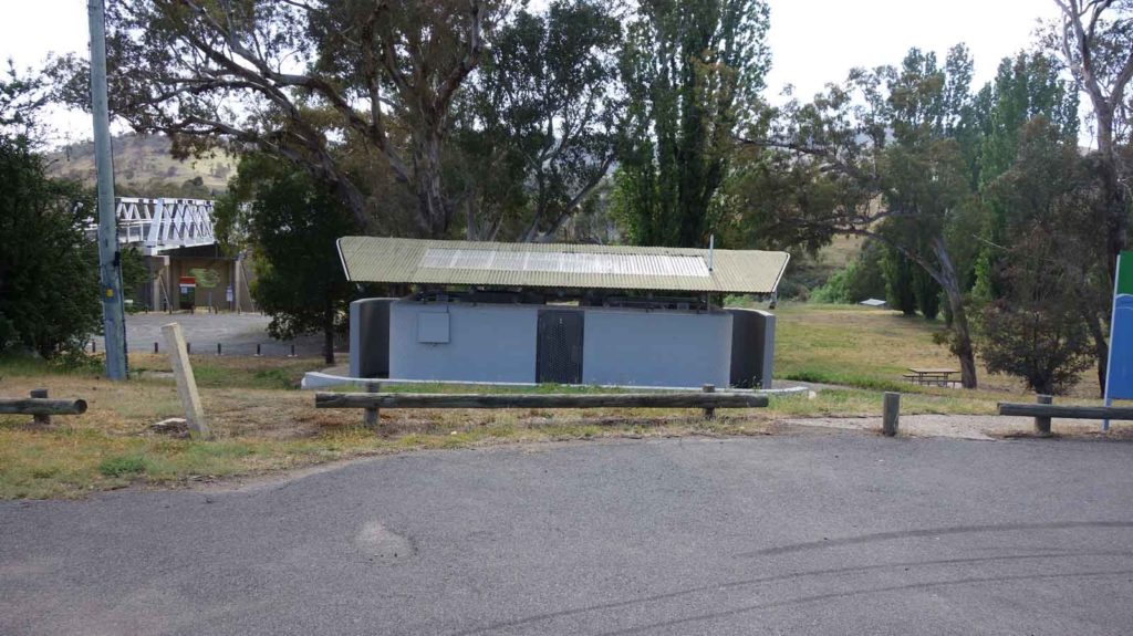
Car park adjacent to the Tharwa Bridge (toilet block side)
Finish Location
Car park adjacent to the Tharwa Bridge (toilet block side)
Tharwa Explorer Walking Track Review
Don’t have time to do a long walk but still want to get out of the city? Then the Tharwa Explorer Walking Track just on the southern outskirts of Canberra is perfect.
Head south out of the city towards Tharwa and instead of driving though the township as if to enter Namadgi National Park you’ll find the trail head for this walk is on the left side of the Tharwa Bridge immediately adjacent to the public toilets and picnic area.
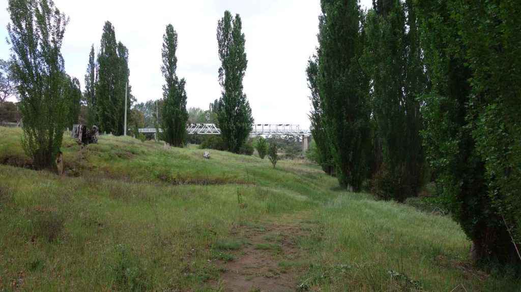
This walk will take you down towards the Murrumbidgee River which you follow for much of your journey both there and back. At the midpoint you pass housing, including the 167 year old Cuppacumbalong Estate all the time walking through large Poplar avenue and a rural landscape. One downside of this walk in late October is that we thought we were going to be carried away by the flies so this is defiantly a walk where you’ll need the bug spray.
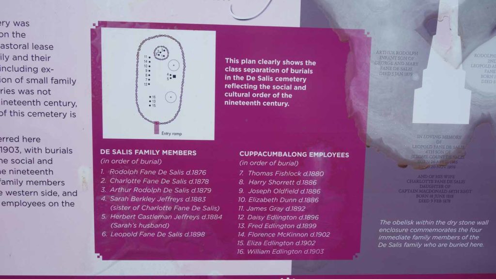
The destination for this walk is the De Salis Cemetery dating back to the mid 1800’s. This cemetery is unique in that when the original graves were dug, the soil was rock hard which is not uncommon in the Canberra region so rather than giving up they decided to build up the gravesite. The end result is a raised cemetery that reminds me of some of the historic European burial mounds. After spending some time at this cemetery we headed back towards the starting point.
While I wouldn’t say this is a spectacular walk, it was definitely enjoyable all the same and the trail head provides you with a good opportunity for a family picnic at the end of the hike.
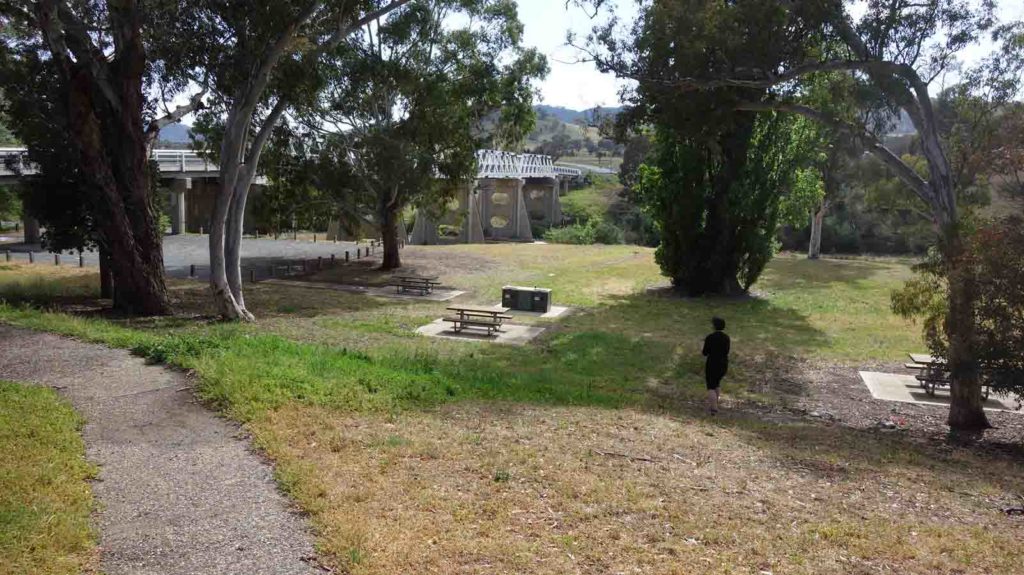
Trail head picnic area
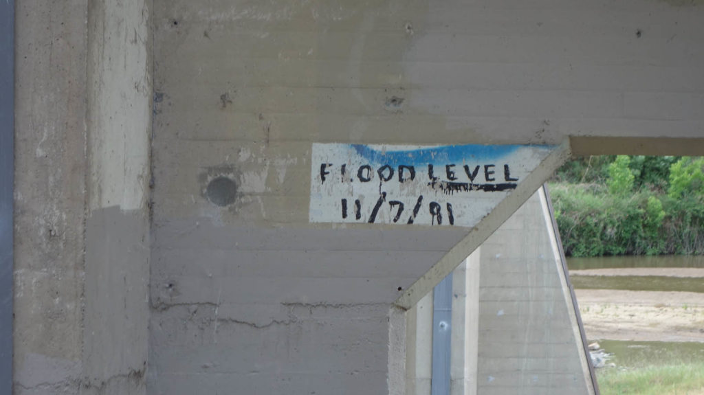
Flood level on the bridge
Trail starting point next to the Tharwa Bridge
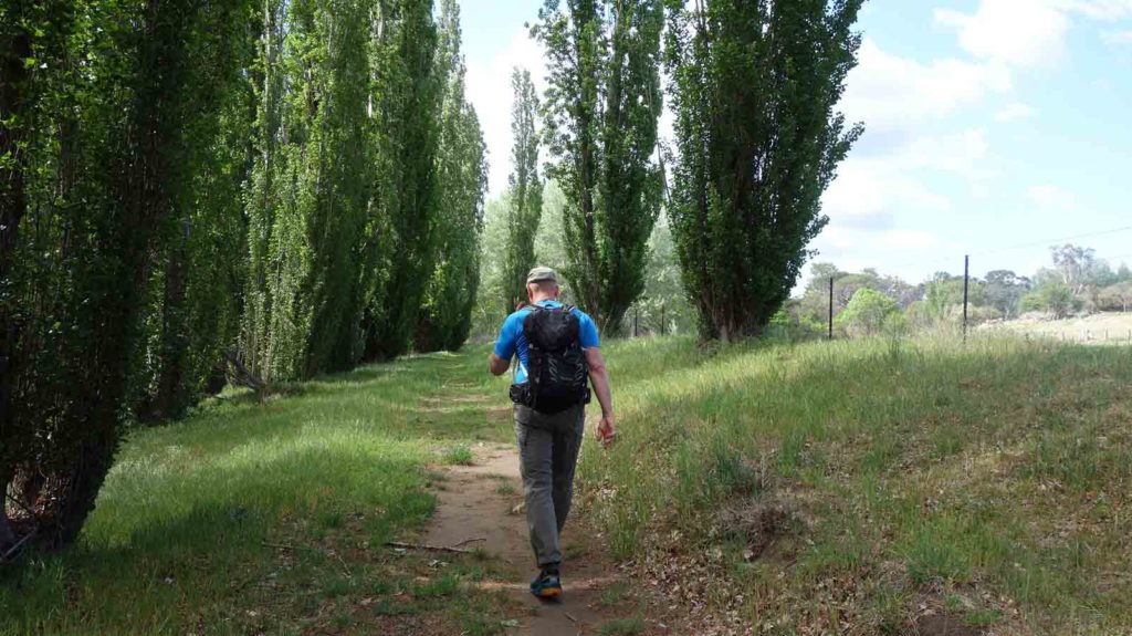
Avenue of Poplars
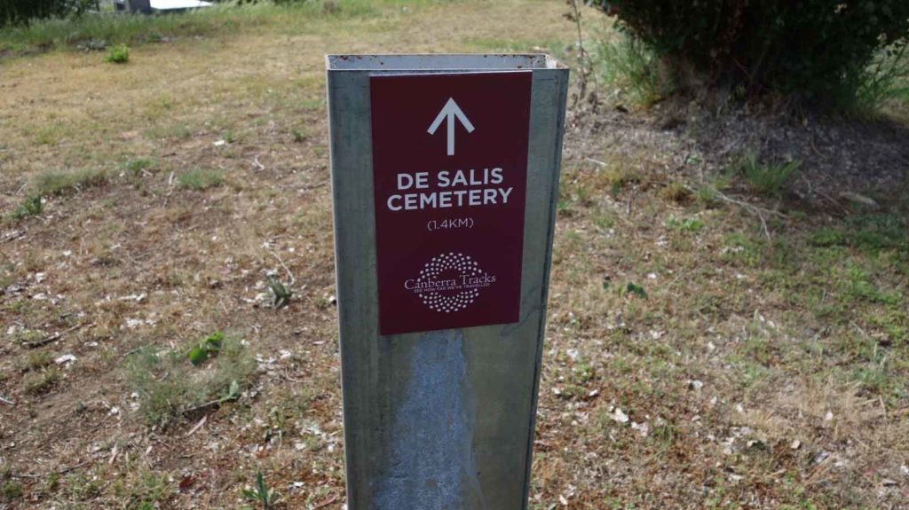
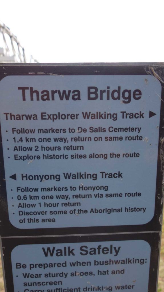
Trail direction signage
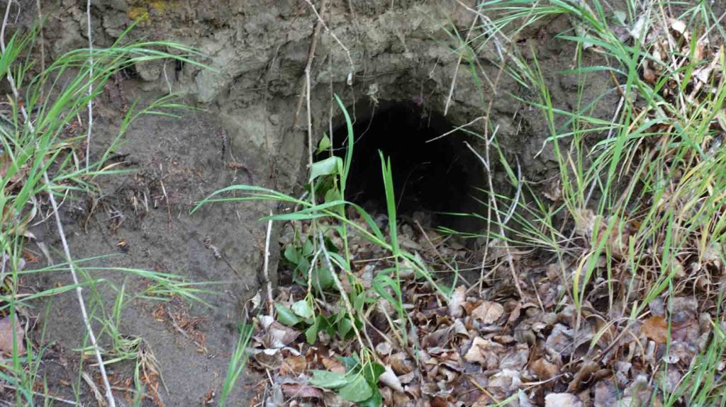
Wombat hole
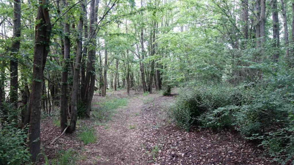
Tree lined avenue
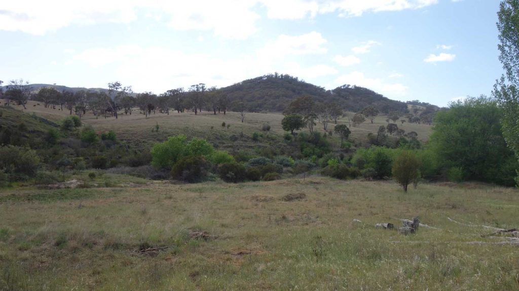
Views across the rural landscape
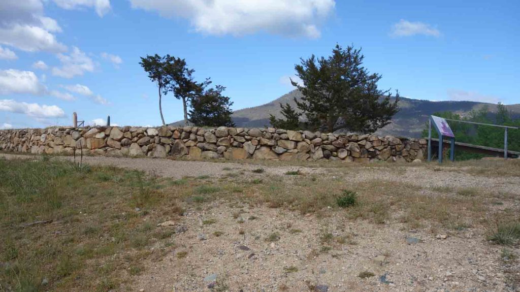
Raised cemetery
Interpretation signage on the trail
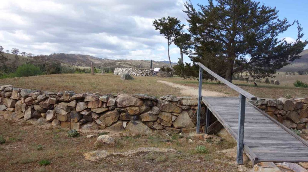
Access to the cemetery
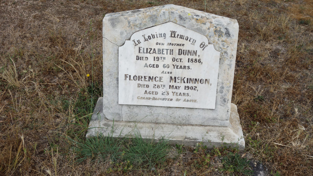
Old gravestone
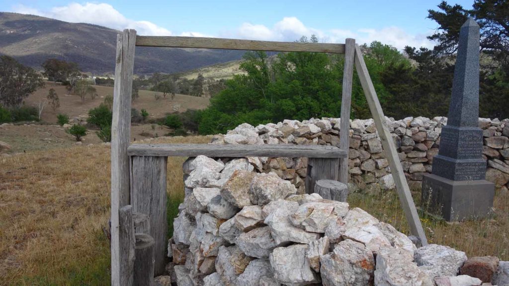
De Salis Cemetery
Video view on the Tharwa Explorer Walk
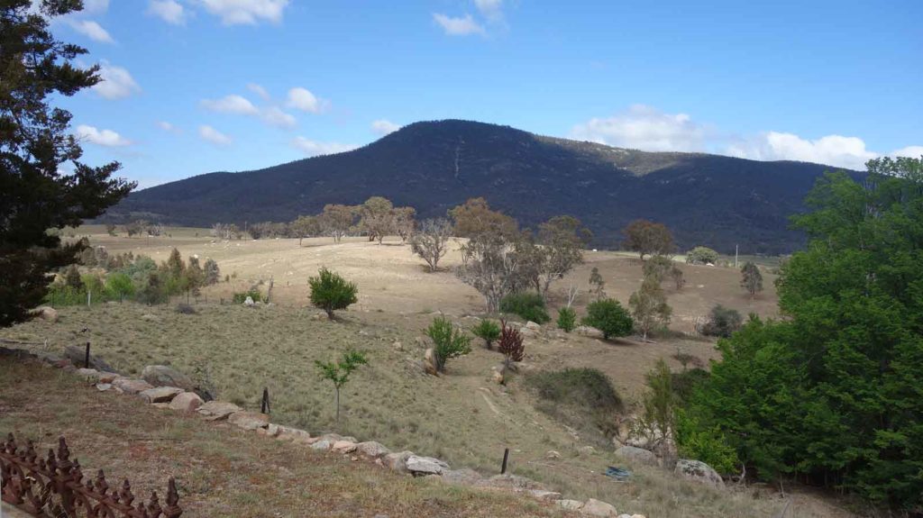
Mount Tennent
Very large wombat on the trail. We approached very quietly with the wind blowing from behind the Wombat so it wasn’t really aware we were there
Returning back to the trail head
Getting There
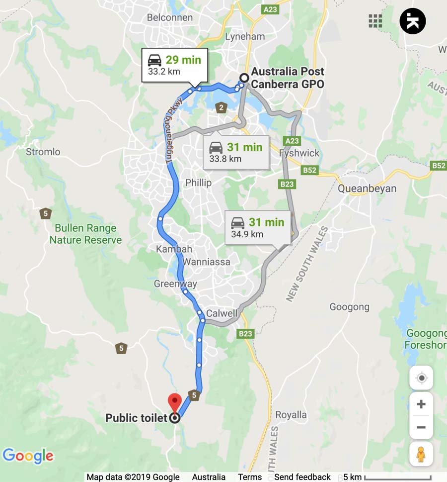
Google map showing the distance from Canberra GPO to the trail head immediately adjacent to the Tharwa Bridge car park
- Coming from Canberra cross the Tharwa Bridge and the trail head is immediately the left and adjacent to the bridge
Things to Know
- Phone: There is good phone signal on this trail (Telstra)
- Water: Bring your own water
- Toilets: There are toilets on this trail at the trailhead car park
- Trail: This walk is on formed trail
- Dogs: Dogs allowed
- Camping: No camping is allowed on this trail
- Other:
- Bring fly spray in the hotter months
This car park will comfortably fit around 6+ cars
Disclaimer
This walk was undertaken by the team from Australian Hiker