Sandwash Walking Track ACT (1.8km)
Southern Canberra
Nearest Town
This walk is located in the township of Tharwa, ACT
Starting Location
Car park off Smith’s Road located just past Tharwa township
Finish Location
Car park off Smith’s Road located just past Tharwa township
Sandwash Walking Track Review
This walk along with the nearby Tharwa Explorer Walking Track were one’s that I wasn’t aware of until just recently. Both walks sit outside the township of Tharwa on the southern outskirts of Canberra and typically as I am heading towards Namadgi National Park to do some walking.
The Sandwash Walking track is a strange track in that while there is a trailhead sign there is nothing beyond that to tell you which way to go – you really are doing this walk as a bit of a ‘choose your own adventure’. There are a number of what appear to be walking tracks on this walk but nothing easily defined. So why then would you do this walk?
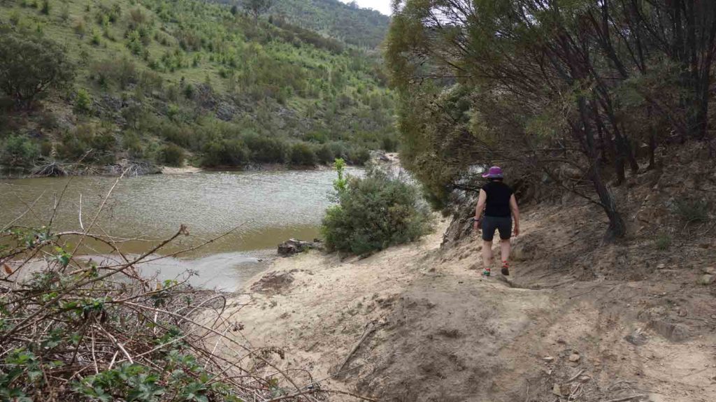
The walk takes you along the edge of the Murrumbidgee River which is the only real water source in this area. As such one of the big selling points is the birdlife with over 200 species of birds listed. On the day we did the walk there was certainly plenty of birdlife in this area. There were also a few people with cameras and very large lenses when we visited on the day.
If you can get past the poorly mark trail then this is an easy to do walk that takes you along the Murrumbidgee River to do some bird watching and take advantage of the opportunity for a swim to cool down in the river.
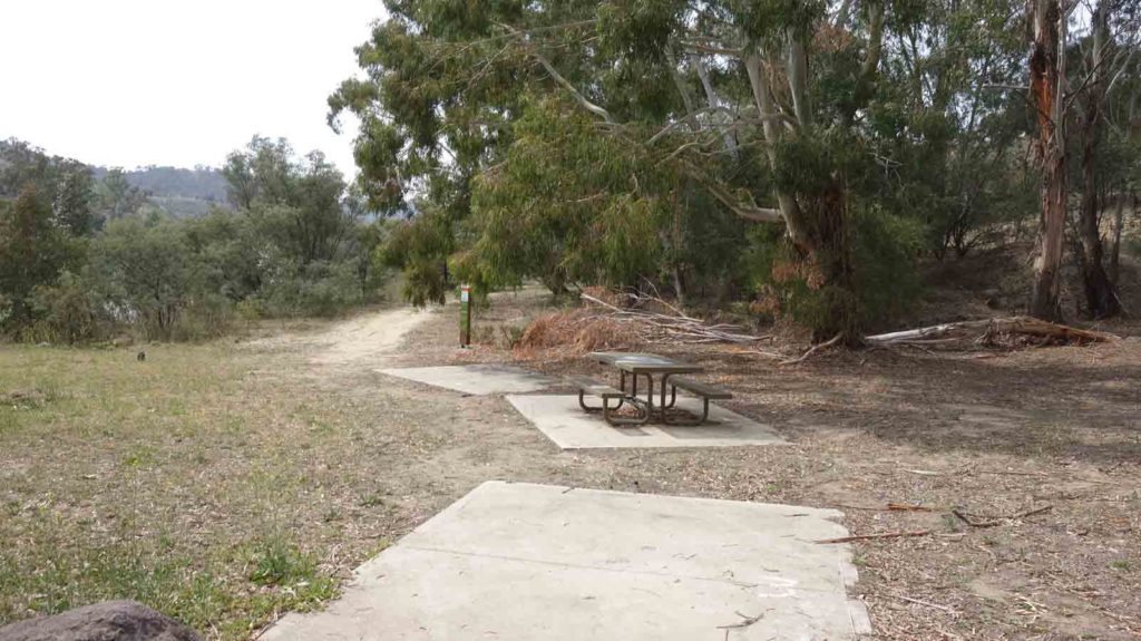
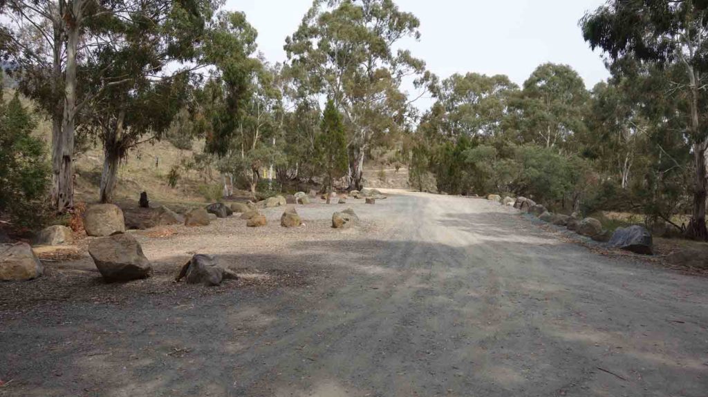
Trail head picnic area
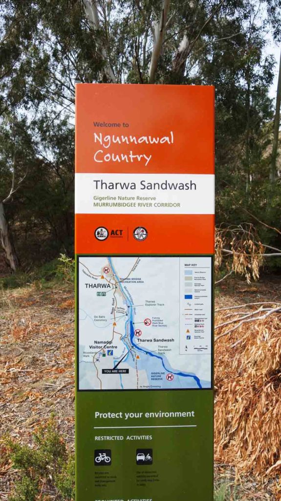
Trail head signage

Trail example at the walk start
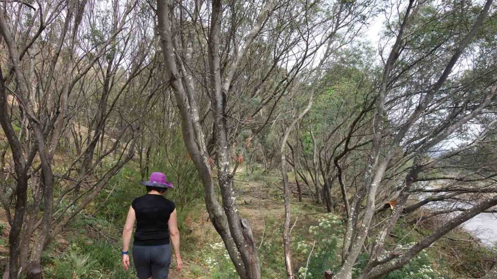
Another trail example

Wombat hole
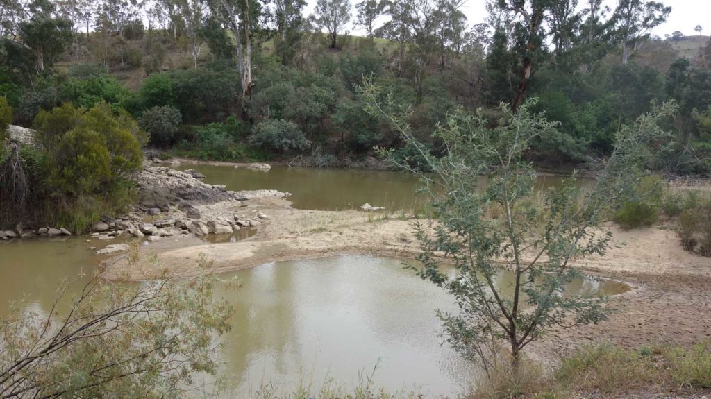
Murrumbidgee River
Murrumbidgee River near the trail turnaround point
Live on the trail
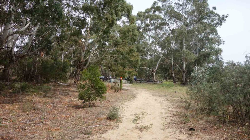
Back to the trail head
Getting There
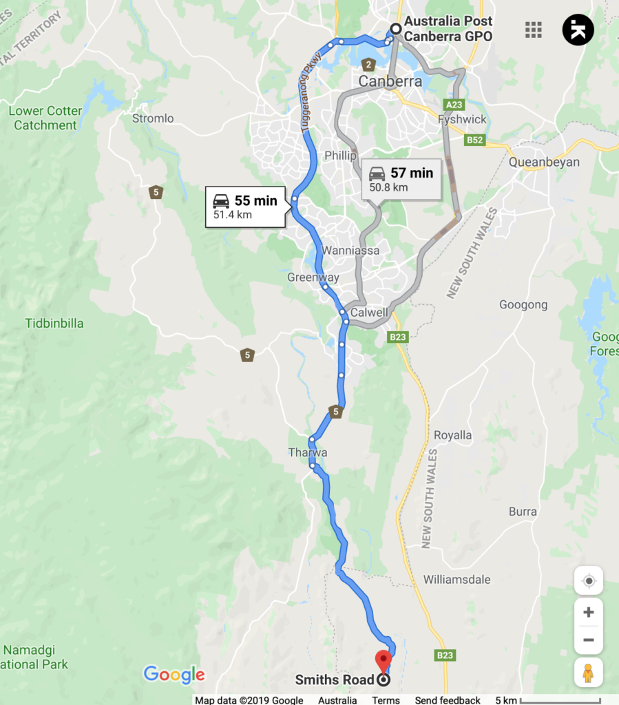
Google map showing the distance from Canberra GPO to the trail head
- Coming from Canberra cross the Tharwa Bridge and head along the road as if you are heading towards Namadgi National Park. The left is on Smith’s Road which will take you to Angle Crossing and over the Murrumbidgee River
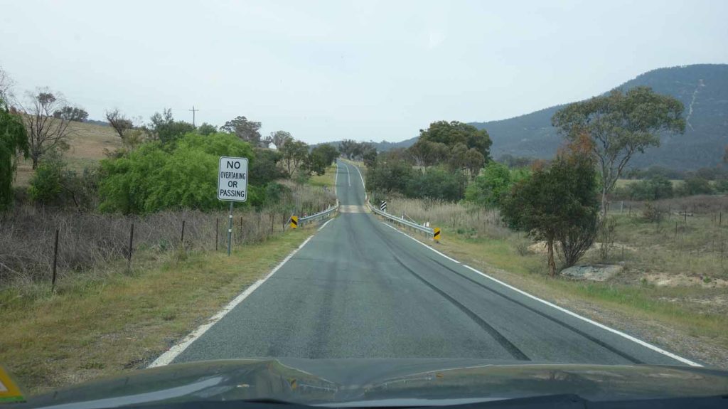
Cross the Bridge not long after leaving Tharwa as you head towards Namadgi National park. The Smiths Road turnoff is just past this bridge
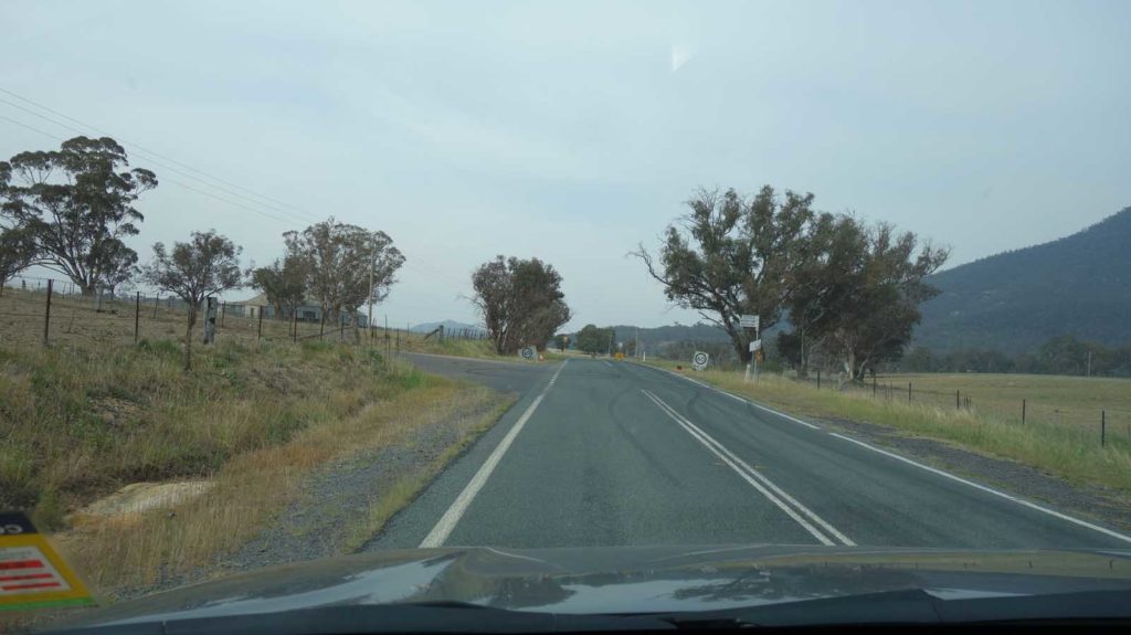
Smiths Road turnoff
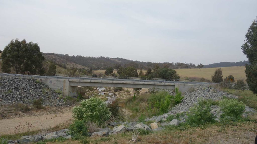
Over the next bridge and then turn left
Turn left at the bridge
Things to Know
- Phone: There is good phone signal on this trail (Telstra)
- Water: Bring your own water otherwise top up and filter as you go
- Toilets: Closet public toilets at Tharwa near the bridge
- Trail: This walk is on urban foot path, beach, and formed trail with steps
- Dogs: Dogs allowed on leash
- Camping: No Camping allowed
- Other:
- Bring fly spray in the hotter months because the flies are numerous and active
- Be prepared for a ‘Choose your own Adventure’
Disclaimer
This walk was undertaken by the team from Australian Hiker