Durras Lake Walking Track NSW (8.56km)
Murramarang National Park
Nearest Town
Depot Beach
Best Time of the Year to Travel
Year round
Starting Location

Trail head car park
Finish Location
Trail head off Lake Road
Durras Lake Walking Track Review
I have been coming down to this part of the coast for the majority of my life and was aware that Durras Lake existed but I had never realised that Durras Lake was as large as it was. You only notice how big when you walk its shores.
Once you turn off the min coast highway, you head along the Mount Agony Road and take the turnoff to Depot Beach on the North Durras Road and then follow the signposted road to the trail head for this walk on Lake Road. Lake Road is a dirt road that wasn’t in the best condition. While I have been on many dirt roads that are worse, I wouldn’t want to take a low slung car onto this road as you may bottom out on some of the potholes if you aren’t careful. Once you reach the car park you are directed around a small one way loop with the parking on the uphill side.
The trail head is well marked and you actually head along a short track before you come to the start of the two walks located in this area, the Durras Discovery Trail and the longer Durras Lake Walking Track. Within about 75 metres of starting this track you come across an area of palm tress that just make you feel like you are in the tropics and if I’m honest, apart from the cold weather on the day, I think it was better. After crossing a short bridge you are presented with two options and on this day we chose to do the Durras Lake walk.
This trail is well signposted in the required locations but given that you are skirting the edge of the lake its pretty easy to find your way. This trail starts at the trail head car park and you can either choose to finish it at the road for turn around and walk babel to the strait point. Its really going to depend on the availability of a second car and the distance you feel like walking. The return walk is 8.56 km in length.
This trail is reasonably well worn, relatively open, and apart from a couple of short areas, almost dead flat. You walk though a range of woodland types including some spectacular tall eucalyptus trees. We saw limited wildlife on the day with the exception of an old kangaroo who wasn’t too bothered about moving away as we passed. Comments by people who have done this walk in the past also describe this area as a bit ‘snakey’ in the hotter months so keep an eye out where you are putting your feet.
One thing that we did notice was the barnacles growing 40 cm up a tree in one area which seems to indicated that in periods of heavy rains that the trail may be flooded in some areas – this may be the limiting factor if it has been wet.
On the way back to the trail head if you have the time and the inclination, you can always tack on the Durras Lake Discovery Trail which will make this around an 11 km half day walk. I really like the Murramarang National Park region of the coast; it’s easily accessible with plenty on offer.

Seating at the trail head

Trail start

Pick a trail

Trail gate at the start of the trail designed to make you think about starting the walk

Termite mound

There is a big area of palm trees not long after you start this walk. If it wasn’t so cold when we started this walk we would have thought we were in the tropics
The vegetation on this trail is spectacular

Bridge on trail. Just after you cross the bridge you need pick which trail you are doing

Directions for the two trails

Trail example on the Durras Lake Trail

Creek on the trail

Early season wattle in flower

Eucalyptus bark after a rain

Fungus on the trail. On this day there were so many types out

Another one

Big trees

More fungus

Lake Durras is bigger than I thought

Jellyfish

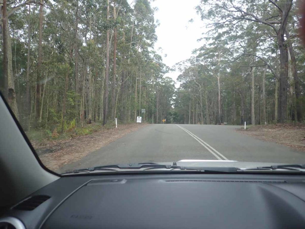
Alternate trail head on the Mount Agony Road

Mount Agony Road. This alternate trail head is a good option if you have a low slung car.

Signage at the Mount Agony end of the trail
Getting There

The trail head is just over 17 km from the base of the Clyde Mountain heading north

Durras Discovery Trail and Durras Lake Trail starting point
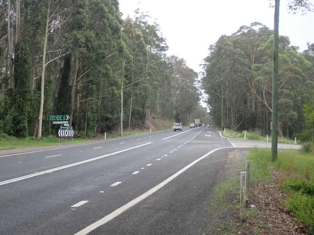
Highway turn off to Depot Beach
Turnoff to Depot Beach
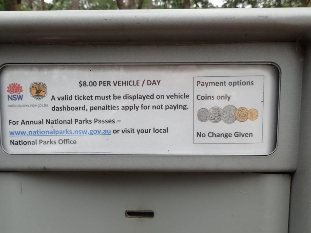
Pay parking or access to this area

Turn off to the trail head

Road ruts. Be careful if driving a low slung car
Trail head car park
Things to Know
- There is an access fee for the national park so bring coins for the meter
- There are no toilets on the track. The closest are in the campground in Depot Beach
- You should bring your own water
- This trail is walkable year round although may be blocked in sections if the lake rises after periods of heavy rains
- The mobile phone coverage is reasonably good on this trail
- Dress to avoid ticks during the warmer months of the year
Disclaimer
This walk was undertaken by the team from Australian Hiker